while so many others have lost so much!
Hurricane Ian ravaged so many communities. Ian made landfall along the west coast of Central Florida, striking Fort Meyers as a category 4 hurricane with wind speeds over 150 miles per hour. From there it traveled in a northeast direction wreaking havoc and claiming over 100 lives in Florida alone.
Ian quickly converted a stretch of beaches and coastal towns into what one would expect to see in a war zone. A deluge of seawater driven by the high winds and drenching rains left nothing unscathed.
Ian is Florida’s deadliest hurricane since 1935. The Great Labor Day Hurricane of 1935 claimed 485 lives.
The map below is that of the Sanibel and Captiva Islands.
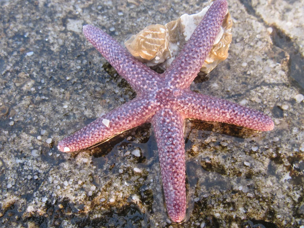
The islands are gifted with great sandy beaches and an abundance of shells. Whether we were there to just relax, visit historical sites, dine, fish, or do some shopping, we were never disappointed.
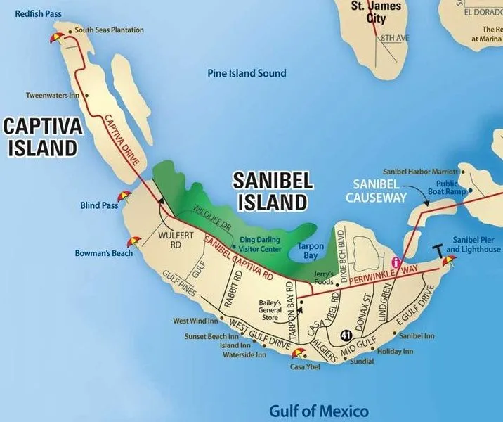
https://www.google.com/search?q=map+of+causway+beaches+and+sanibal+and+captiva+islands&oq
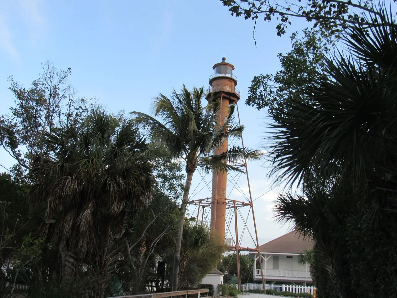
The Sanibel Lighthouse and its surrounding beaches were one of our favorite places to frequent.
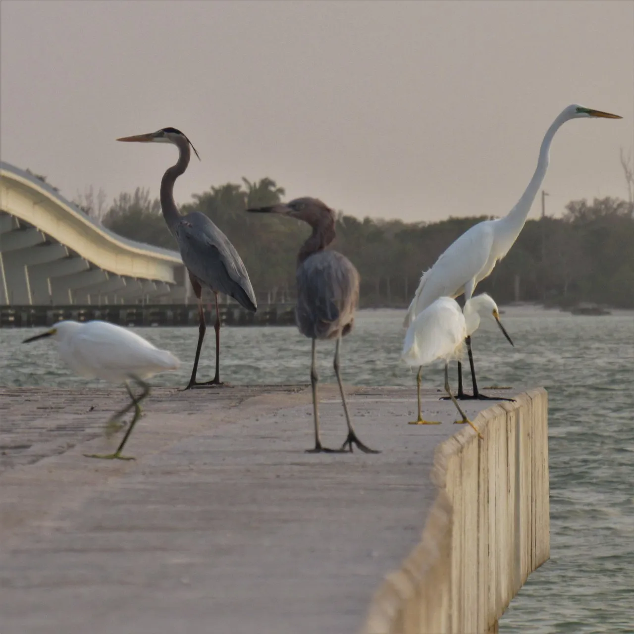
It offered an array of things to do. Fishing, #bird #watching, swimming, and hiking the trails through the mangroves occupied many a day.
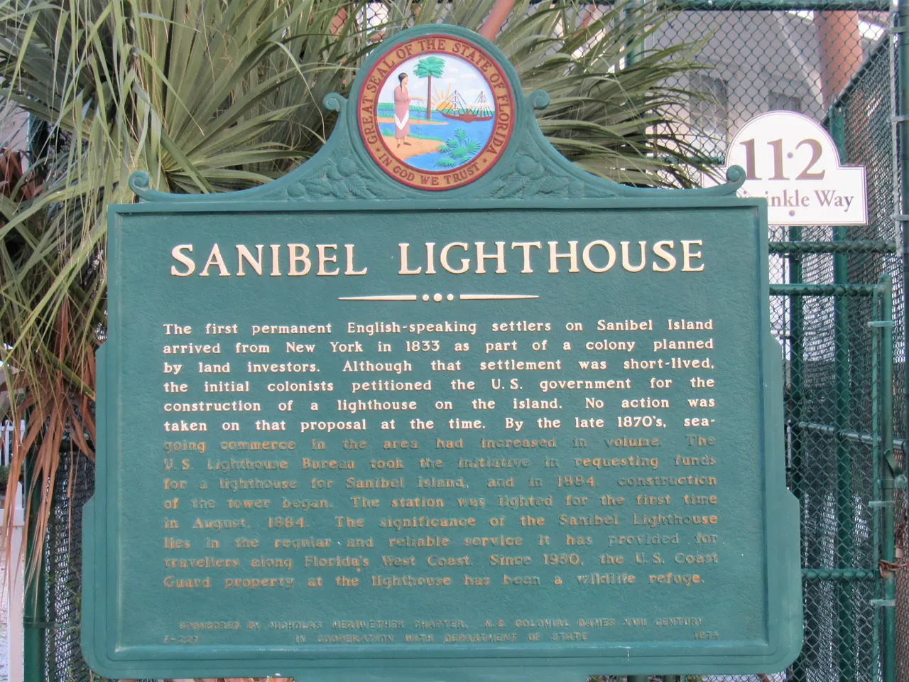
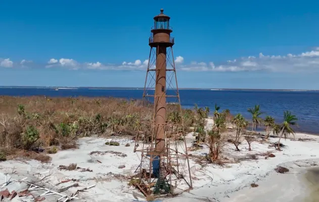
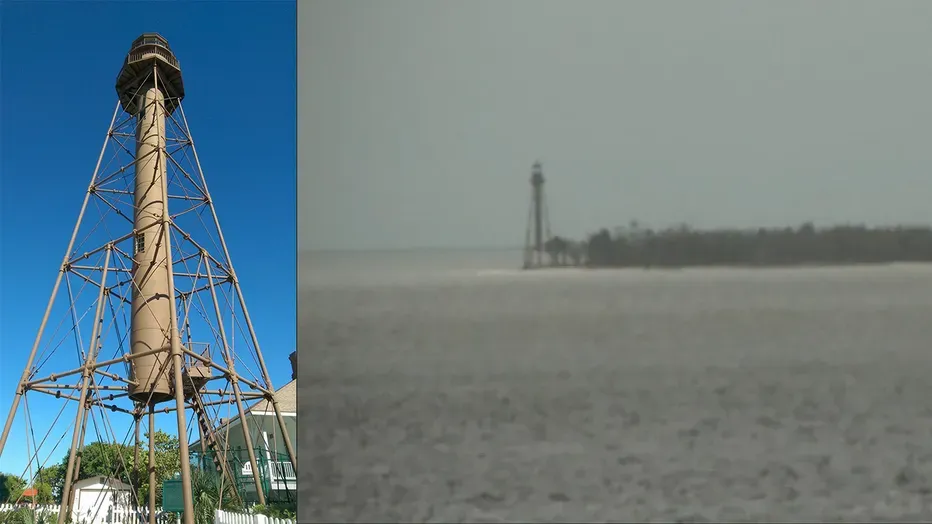
The lighthouse has stood majestically at the eastern end of Sanibel Island since 1884. It was surrounded by a few buildings, including a visitor's center.
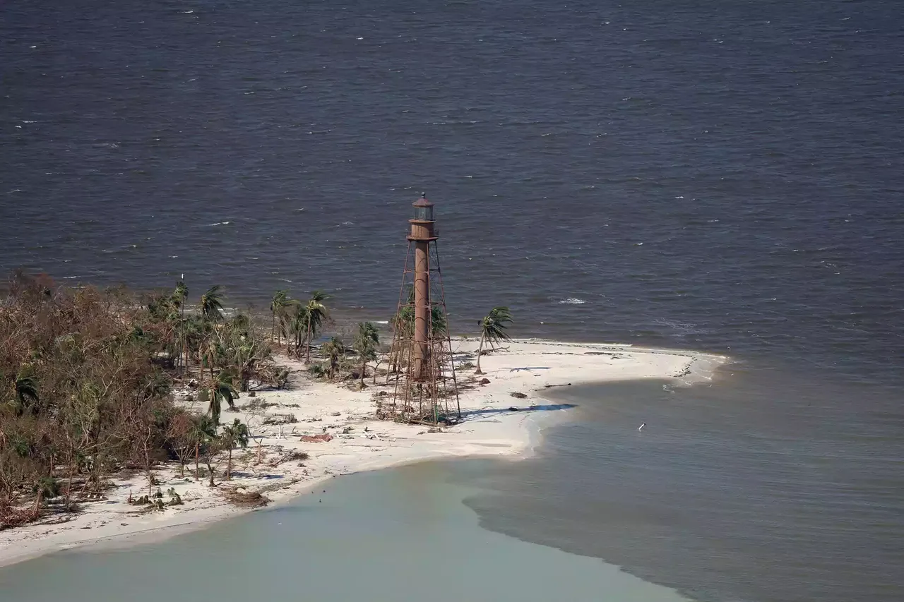
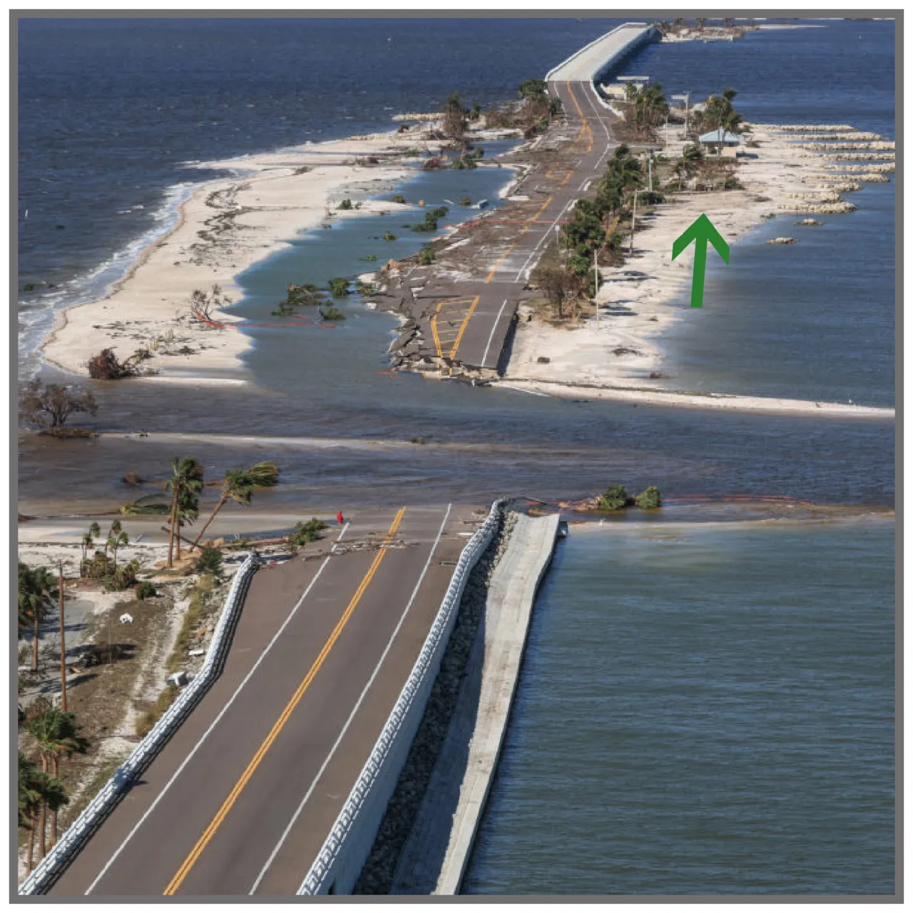
In this picture, you can see that the left rear support is no longer part of the structure, but yet it's still upright.
https://www.accuweather.com/en/hurricane/138-year-old-lighthouse-survives-hurricane-ian-in-florida/
https://www.southernliving.com/news/hurricane-ian-sanibel-island-lighthouse
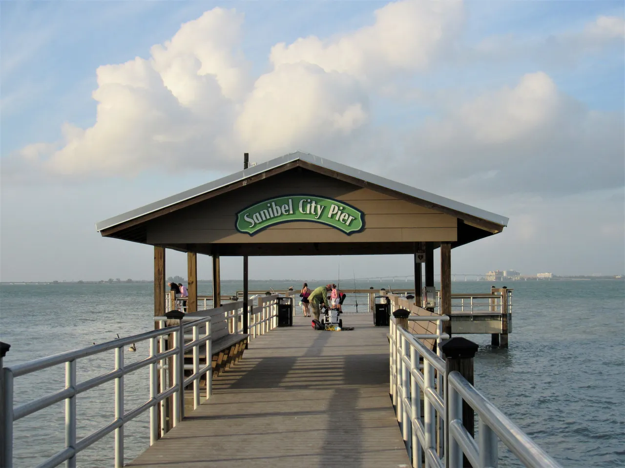
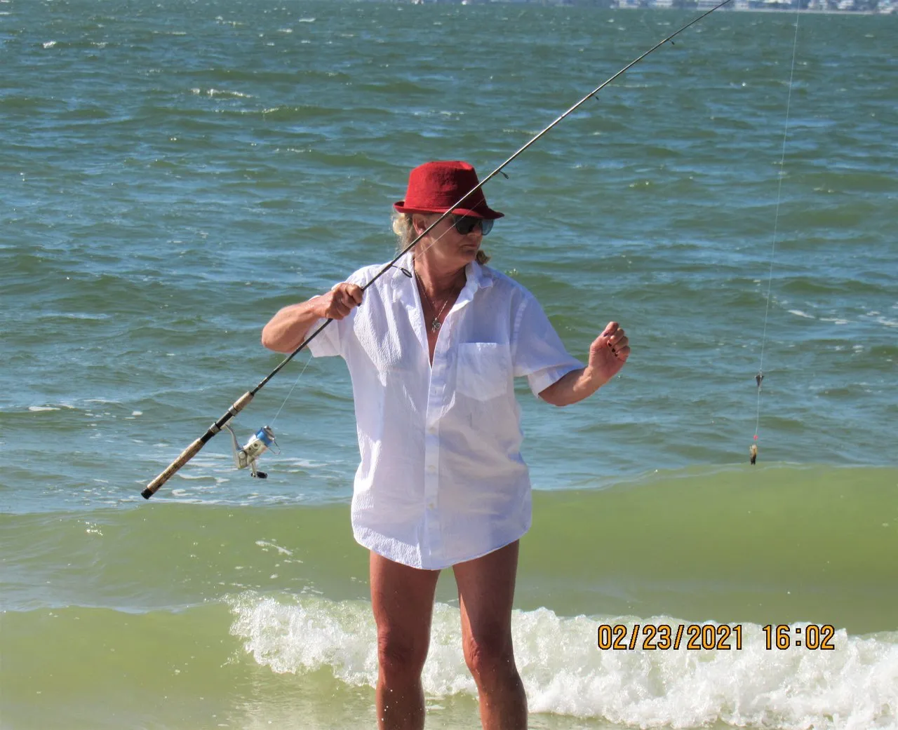
The Sanibel City Pier stood about 100 yards from the lighthouse and it was one of #farm-mom's favorite places to fish.
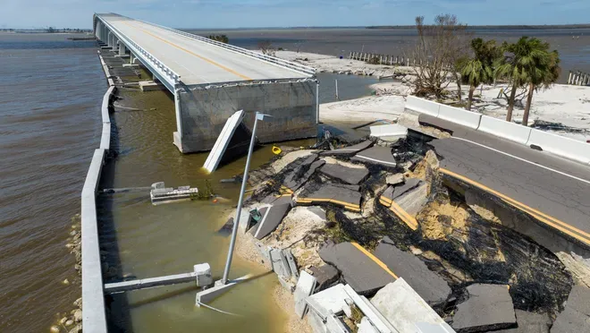
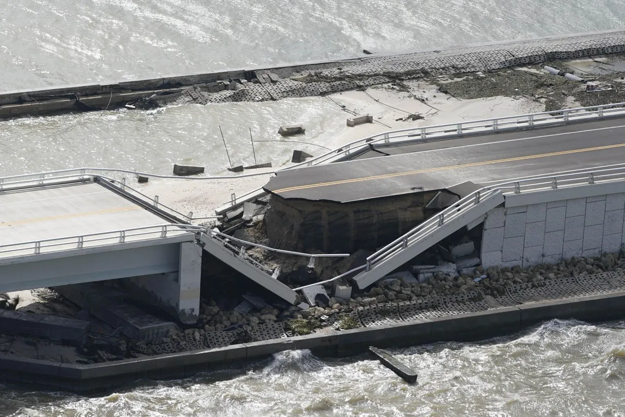
This reclamation arrangement never stood a chance.
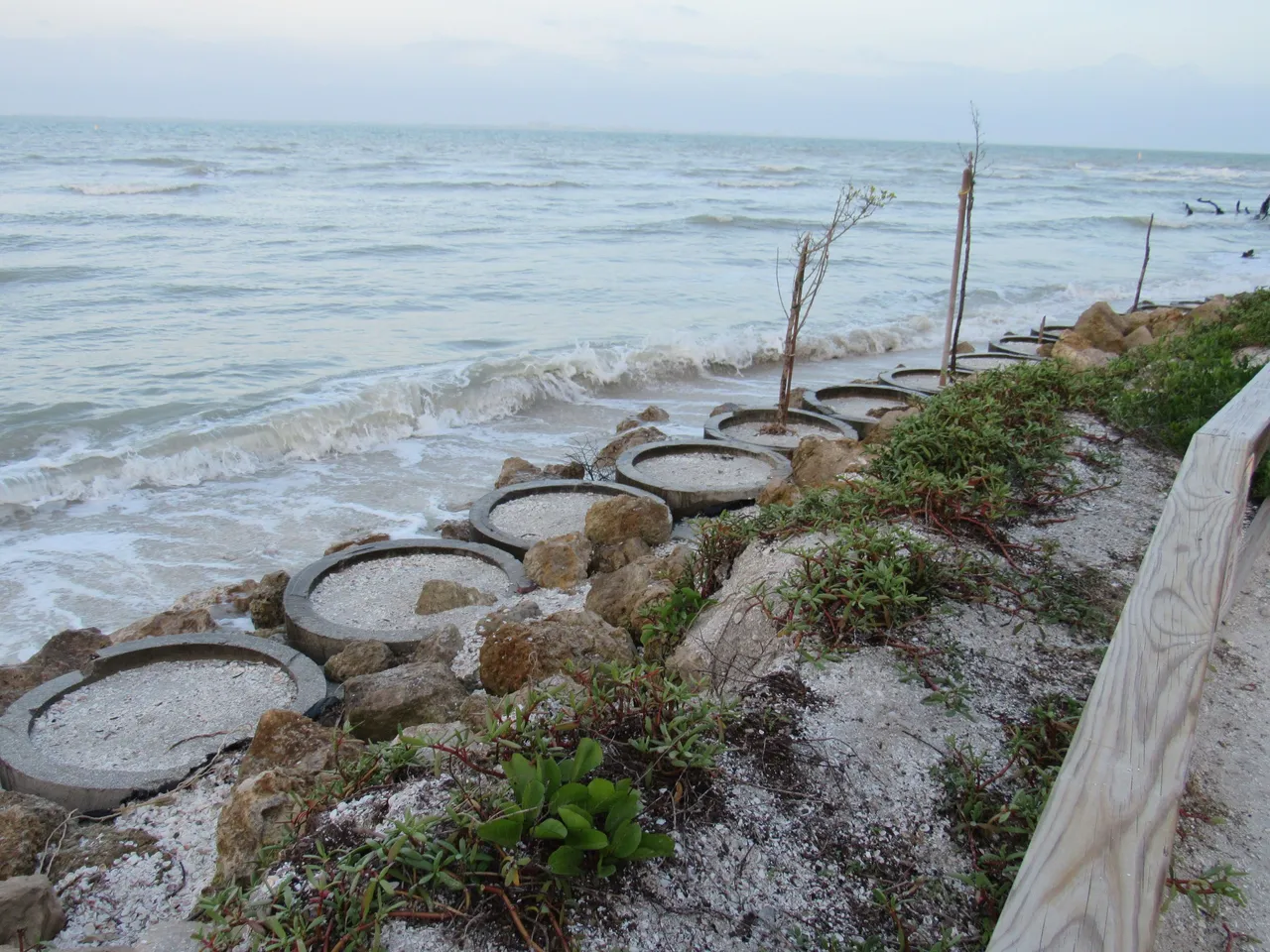
As the bridges touch down on small islands along the way, pristine beaches lure in those heading to the islands before they even get there.
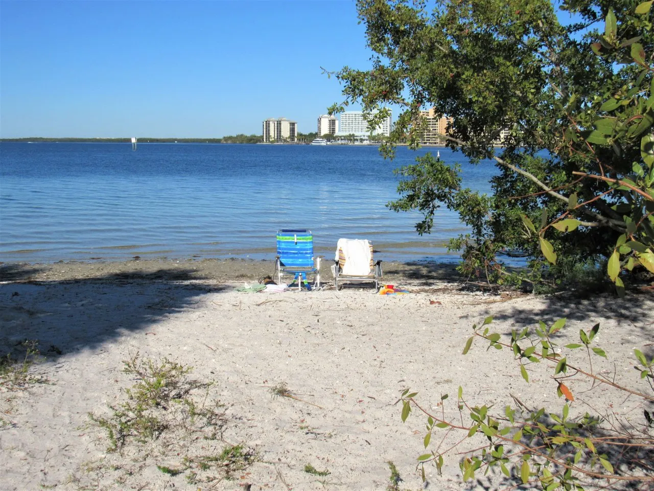
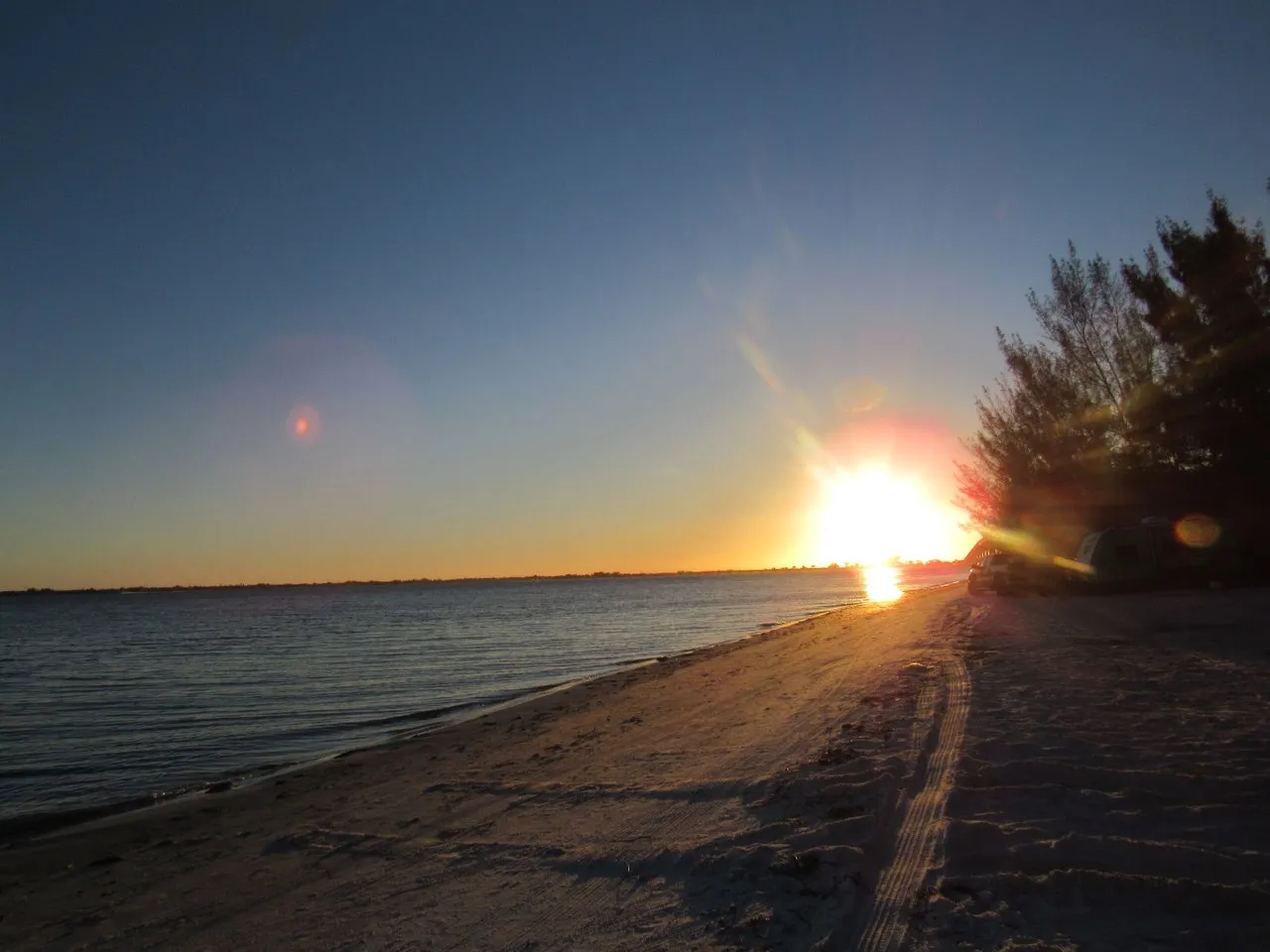
When we decide to spend a day at the beach, 90% of the time we would end up on these causeway beaches.
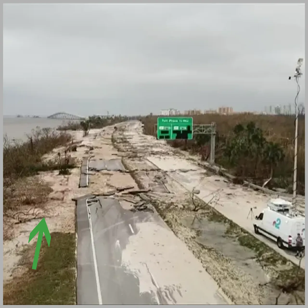
The double green arrows indicate exactly where we put our feet in the sand. The best thing about the causeway beaches is the privacy they afford. Get there early and either of these spots is all yours.
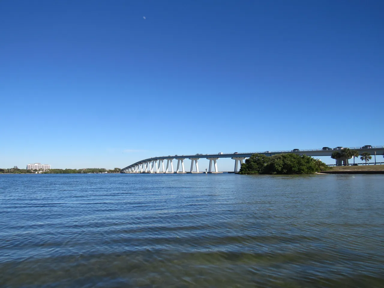
Here is a picture as we traveled over the bridge in our car. As I said, get there early and you've got your private beach.
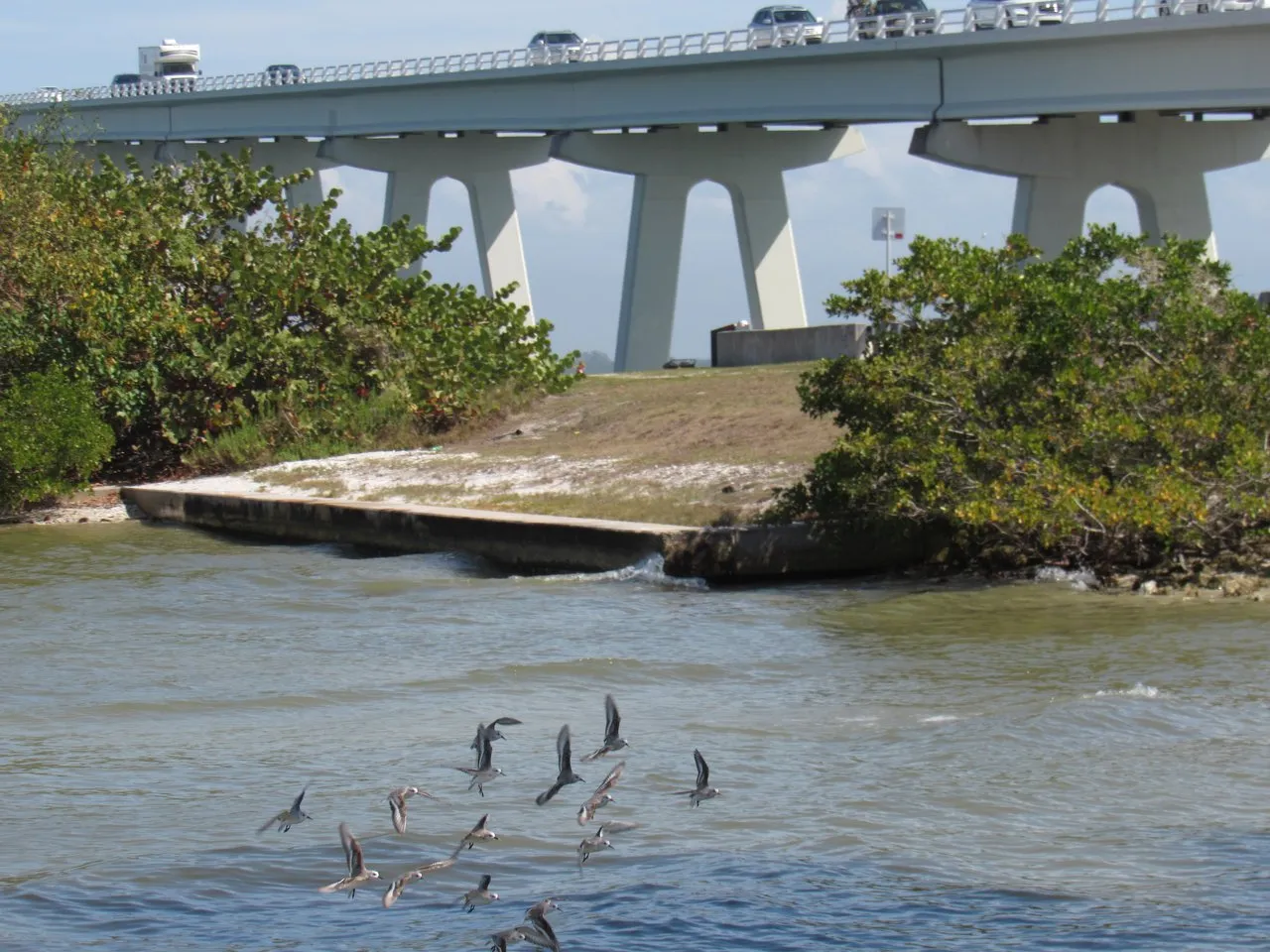
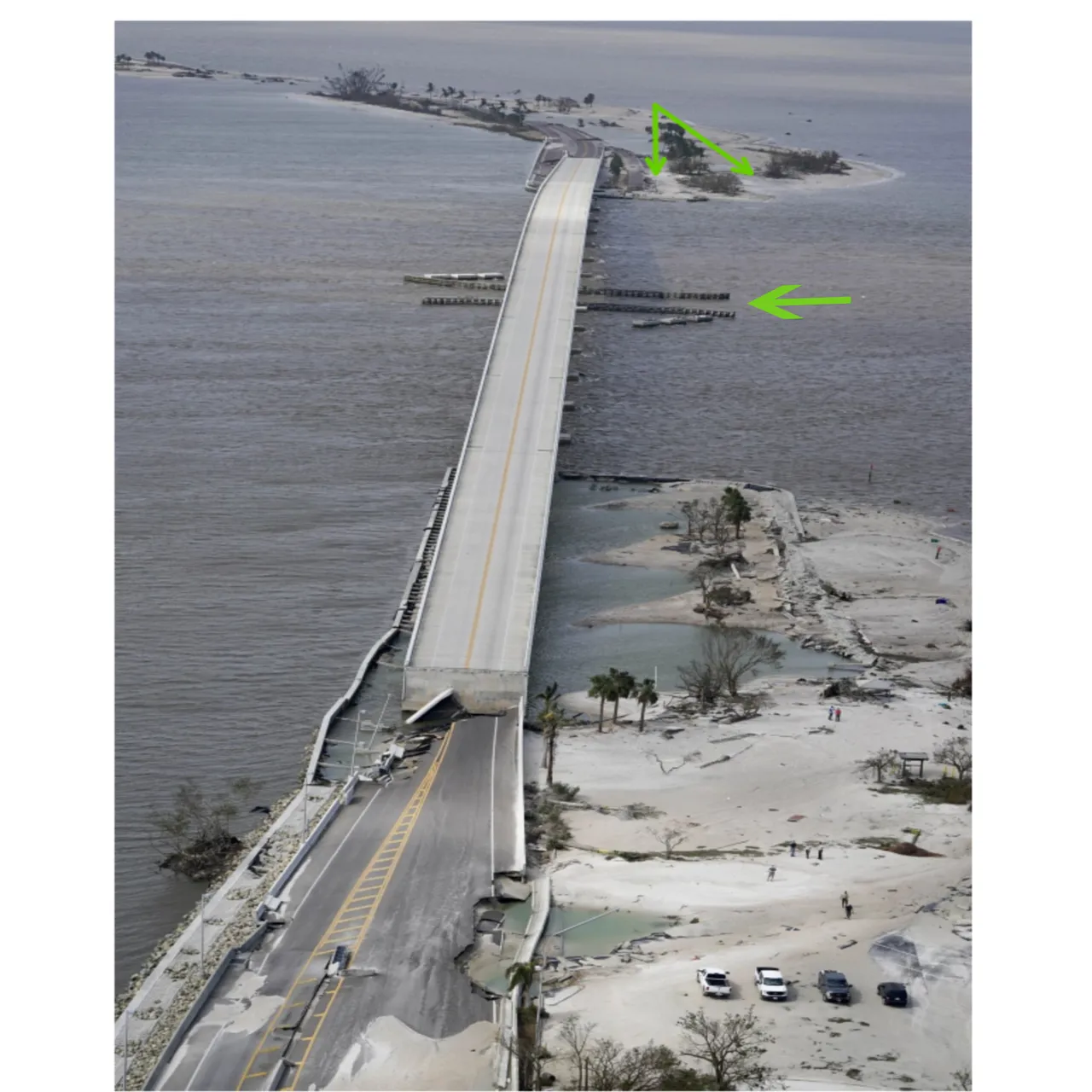
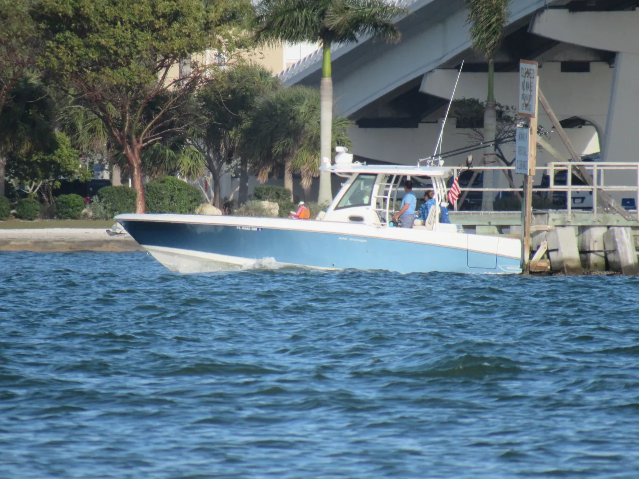
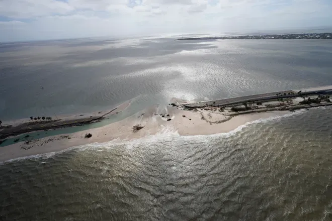
One day I sat on the beach and watched boat after boat making its way under the bridge through the structure where the boats pass to get out into the Gulf of Mexico. This passageway was also severely damaged. If you return to the photo with the green arrows, the single green arrow indicates its location.
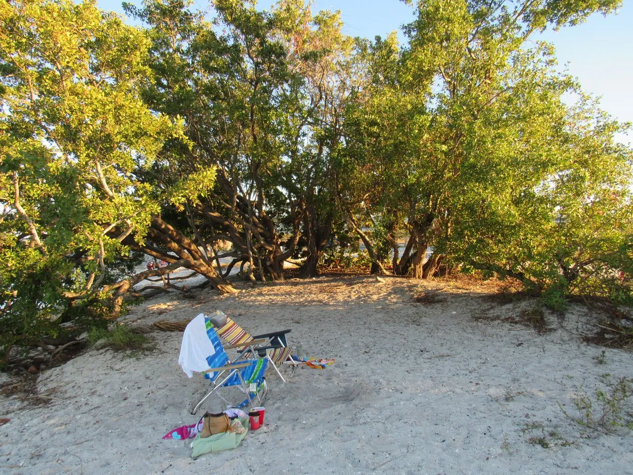
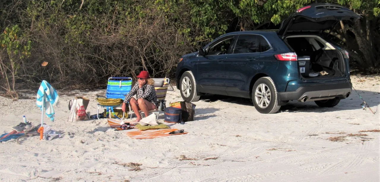
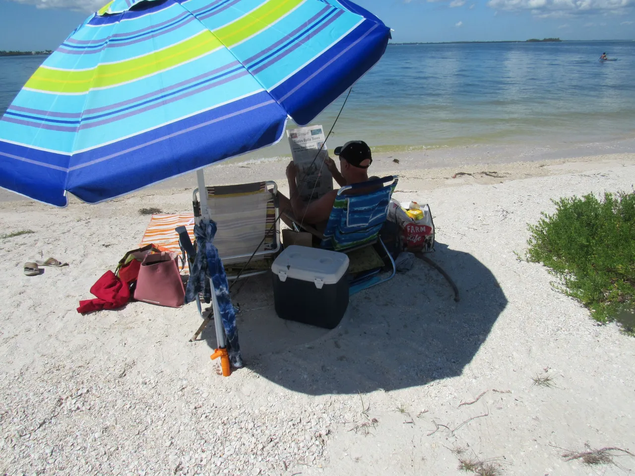
Identifying the spot along this stretch of road, where we also enjoyed spending time on the beach before getting to the islands, is impossible. These spots were also very private. I do remember that they were before the first of the three bridges and before the toll plaza, which saved you $9.00.
These spots were about 30 yards from the road. You could park your car on the sand, break out your goods, and enjoy the serenity without lugging any of your gear.
As can be seen from the second picture above, these narrow beaches no longer exist.
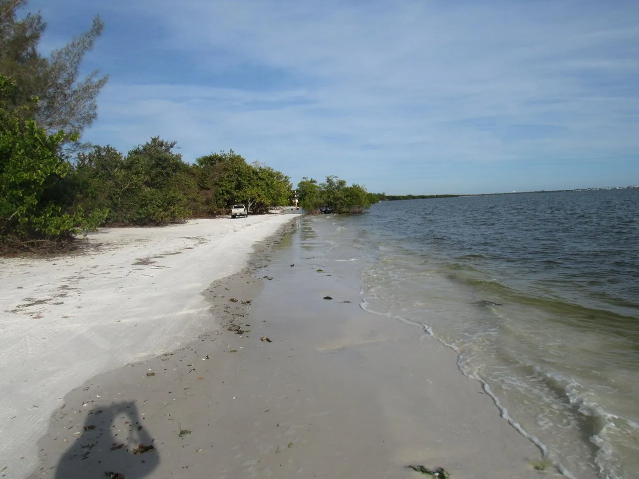
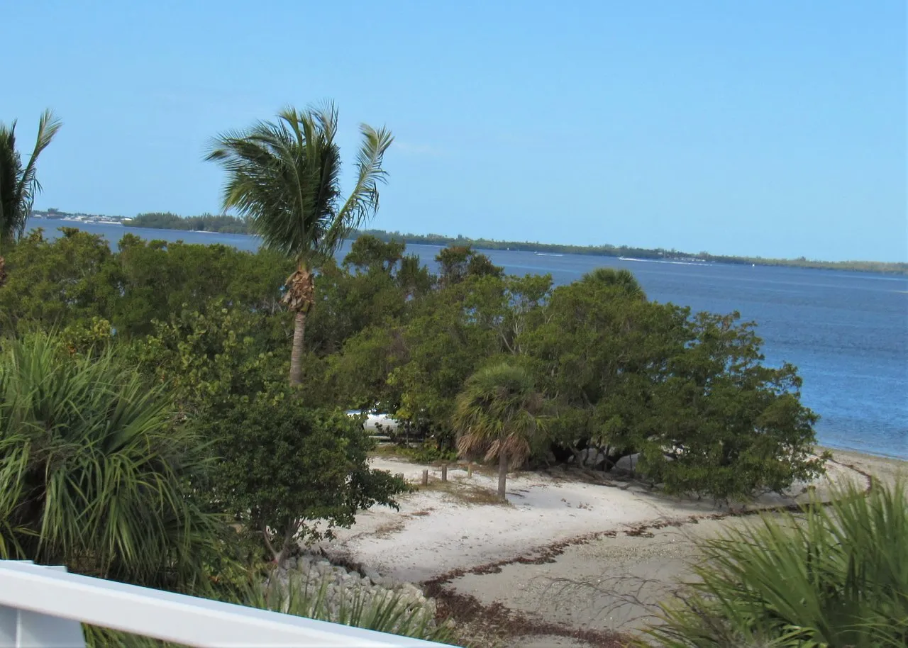
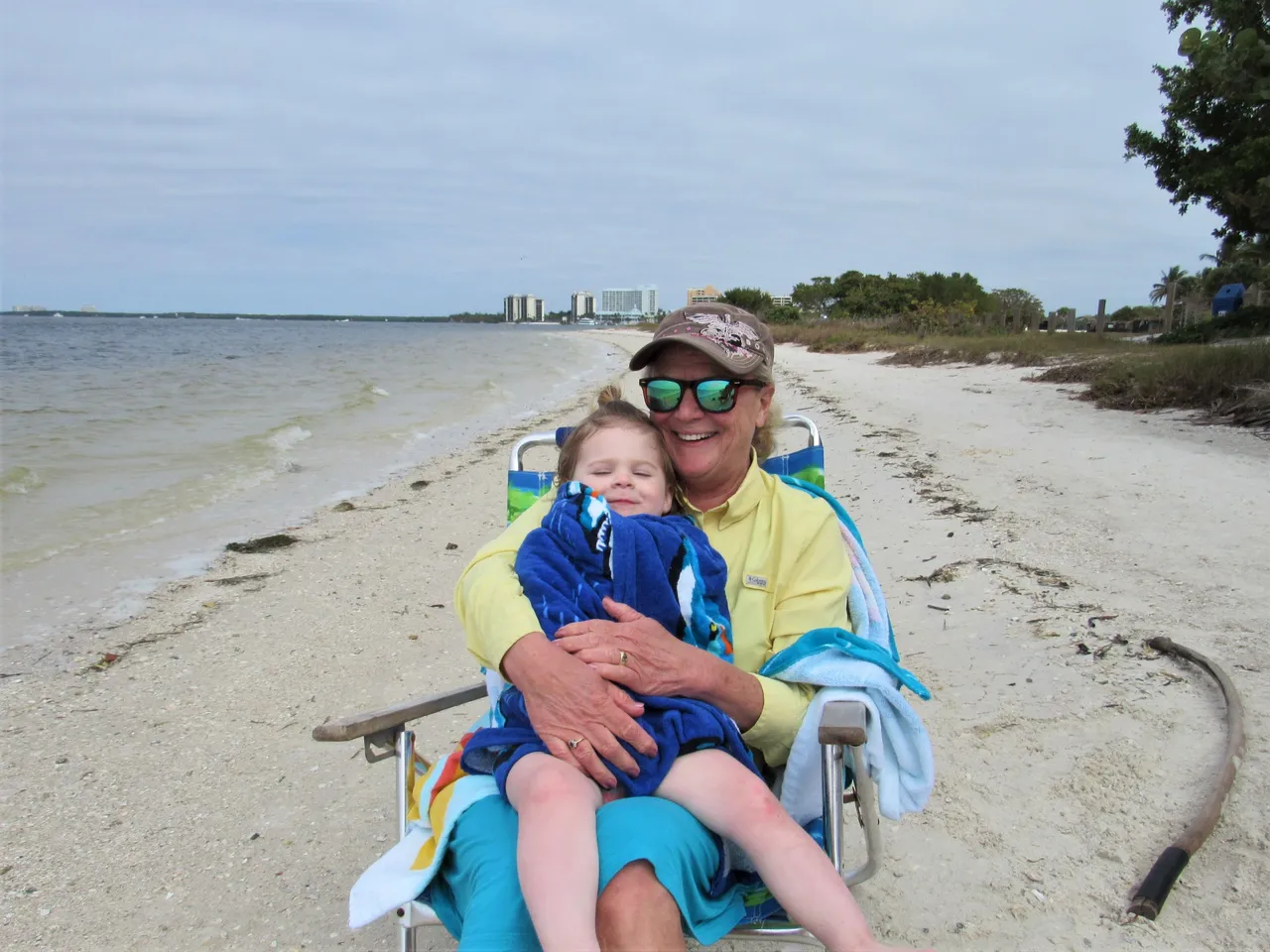
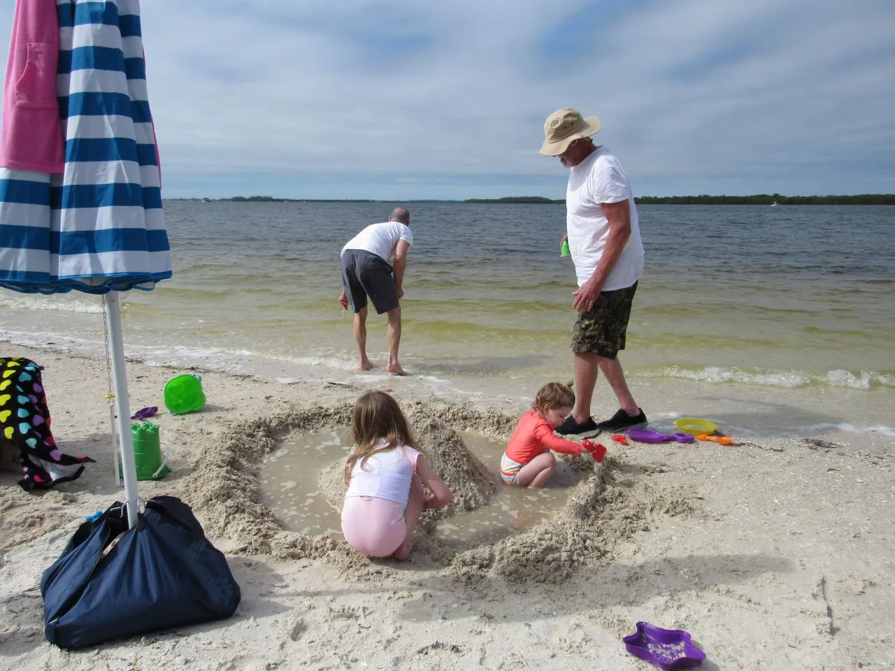
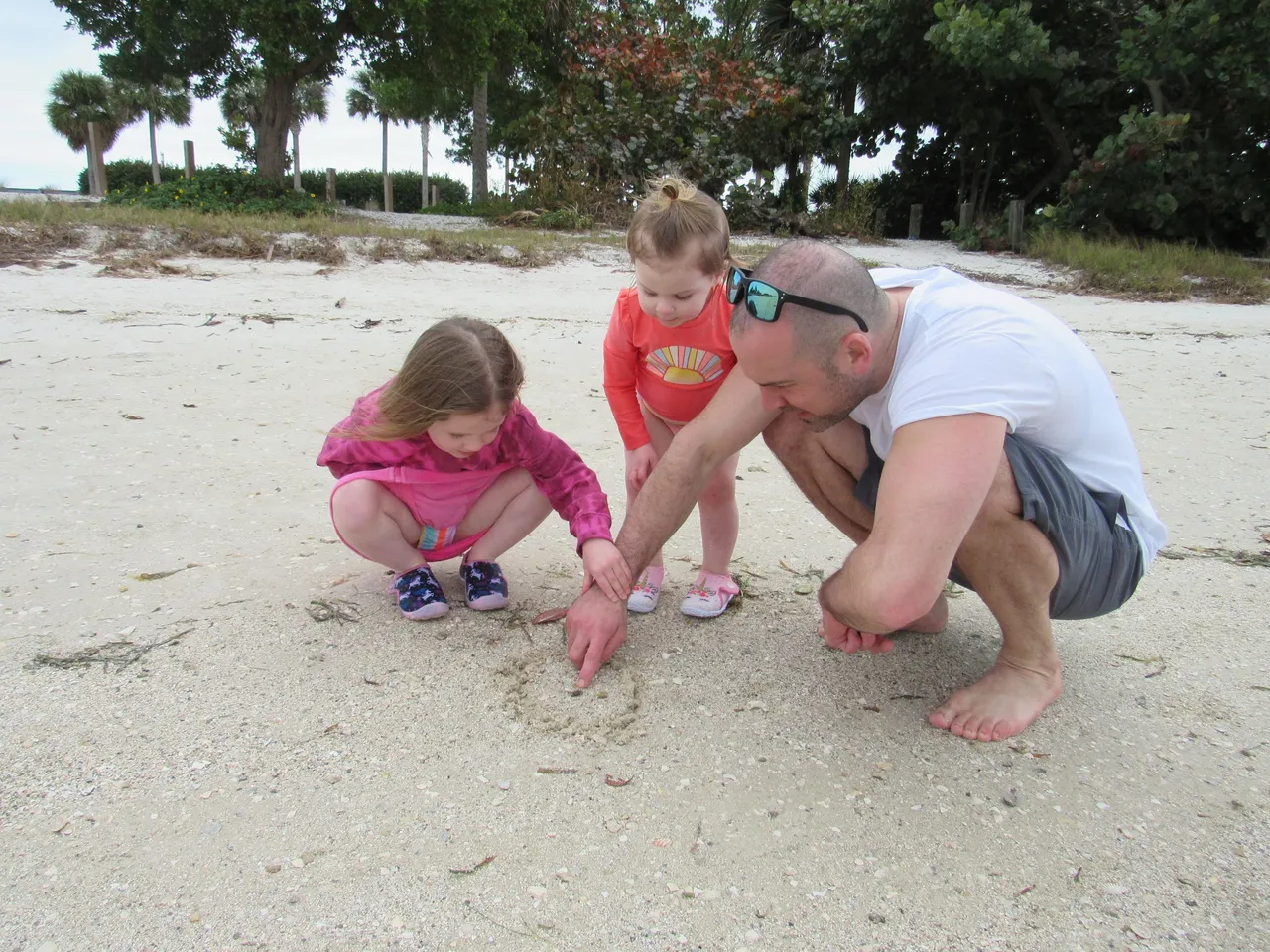
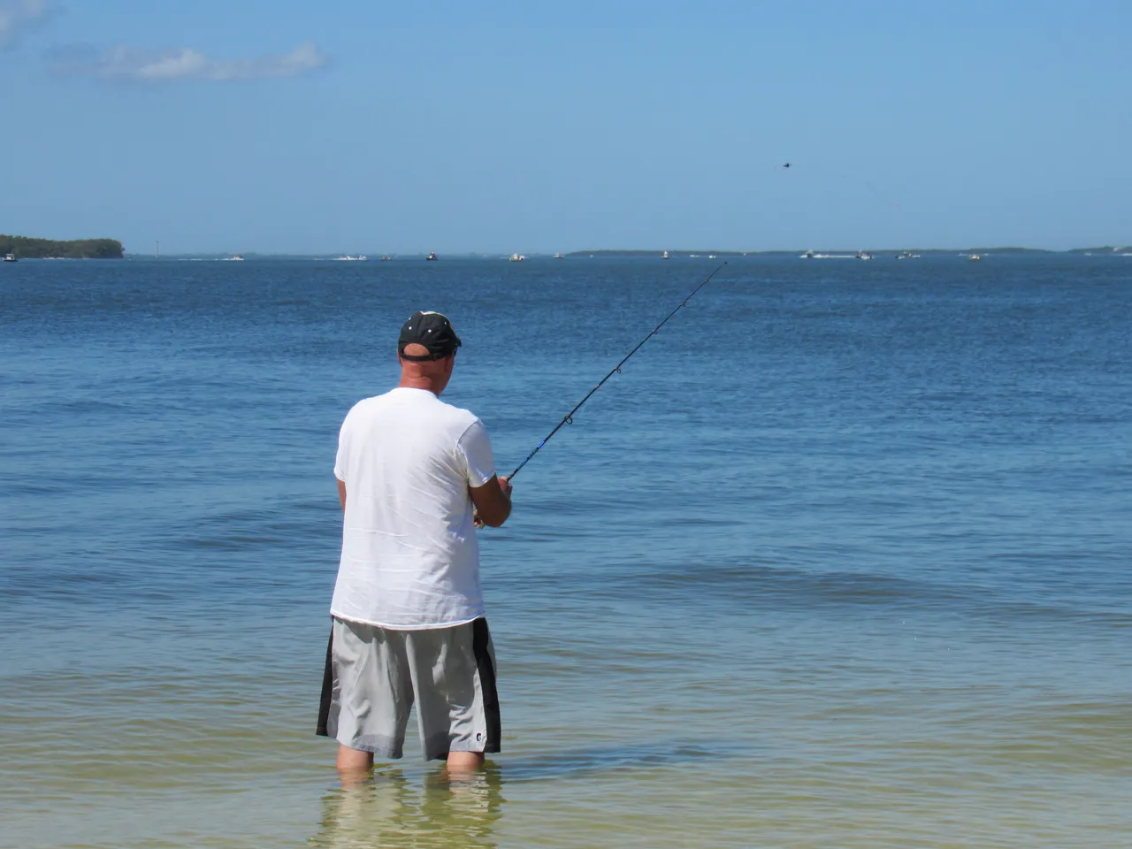
Before crossing the last of the three bridges which put you on Sanibel Island, the beaches along this stretch of road were the widest of them all. A wonderful place for kids.
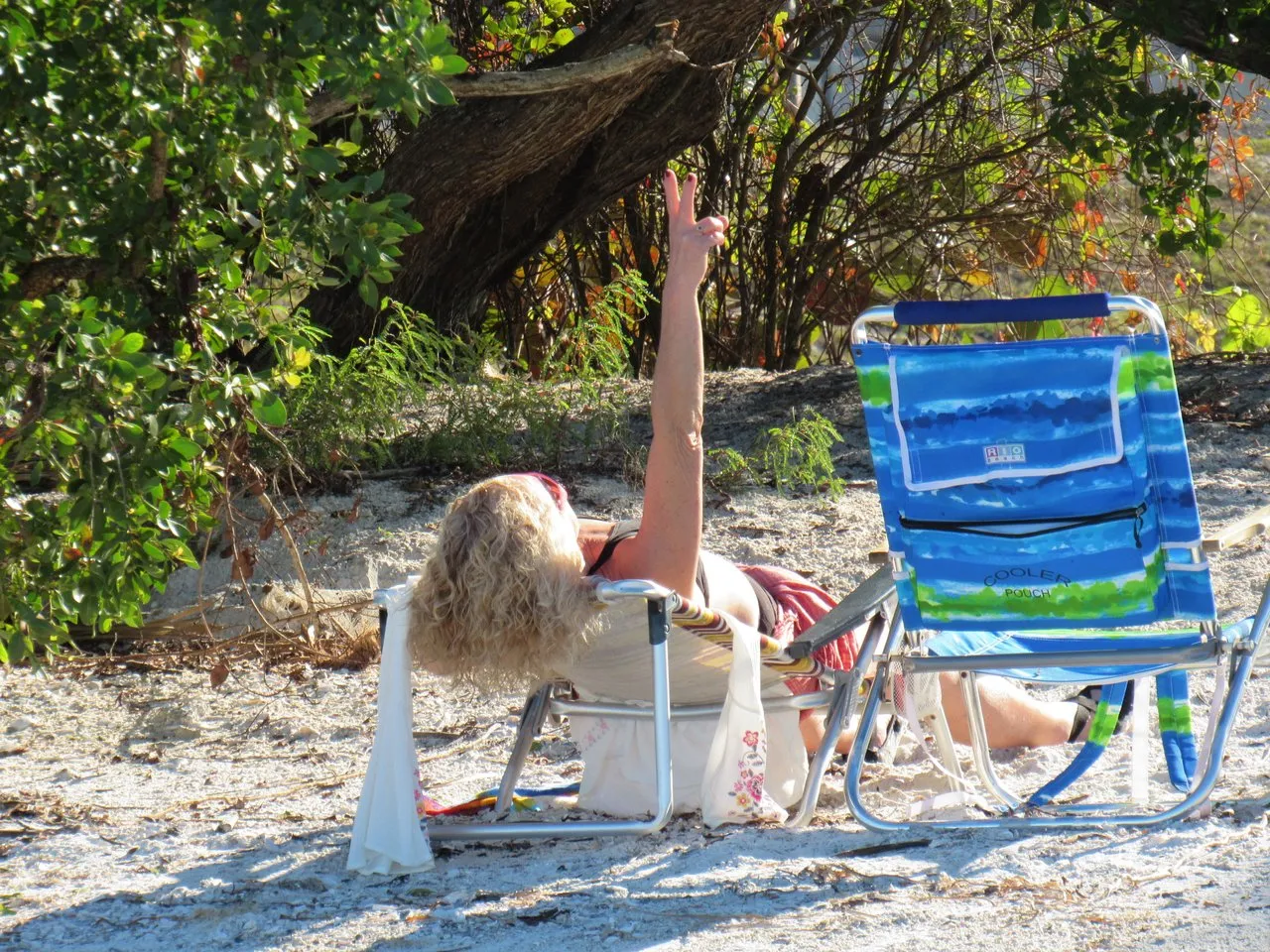
When our son and his family visited us last year we spent several days on this beach. With the waters being so shallow, you could wade out 50 yards and still be waste deep. The following pics were taken from this location.
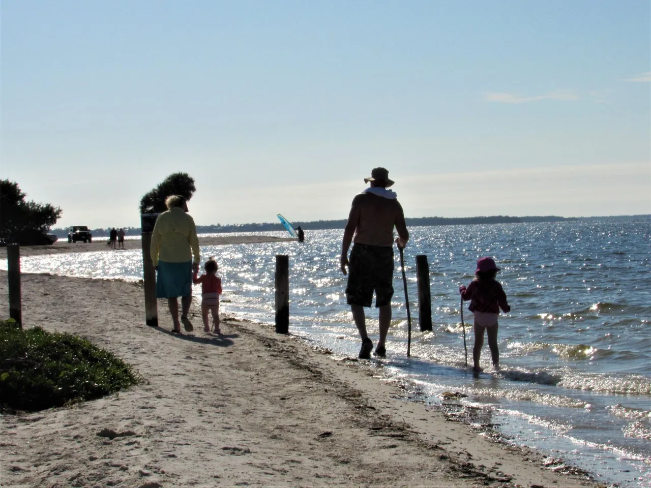
When Jackie O' Silver has the opportunity to spend time with the grandkids, she is in her glory.
but I expect that putting it all back together is in the cards.
It may take several years to rebuild what has been lost,
but people have a way of persevering through hard times.
The one thing that I did notice about all of the damage that hurricane Ian did to the causeway bridges is that all of the damage was done to the small patches of land where the bridges originated. The structural supports that suspend the roadway high above the water were still intact.
Our prayers and well wishes go out to all who have suffered.
GOD BLESS!