Hinterland The Port of Krueng Geukueh Lhokseumawe covers the area of North Aceh Regency Government. The main dominant commodities transported through this Port since 1994 s.d currently come from the following sectors namely LNG, Condensate, Pupuk, Ammonia, Paper and Betel Nuts. With the ..
Krueng Geukueh Lhokseumawe Public Port is located on the east coast of Aceh Nanggroe Darussalam Province, precisely the location of the port is located at a distance of ± 20 km from the city of Lhokseumawe. The administrative area is located in the Village Krueng Geukueh and Tambon Baroh Dewantara District. Krueng Geukueh Lhokseumawe Public Port which is still under the management of PT Pelabuhan Indonesia I (Persero) which is located in the city center. Based on geographical coordinates, this Port is located at the position of 05 ° 100 LU and 97 0200 BT with Work Area (DLKR) of land area of ± 38 Ha, DLKR waters 10.941 Ha. And Regional Working Environment Interests (DLKP) waters covering an area of 9,035 Ha.
Location of the Port of Krueng Geukueh Lhokseumawe which lies between the eastern transport routes and facing the Malacca Strait causes the port to have the potential to serve the main commodity production in its hinterland outside the oil and gas sector.
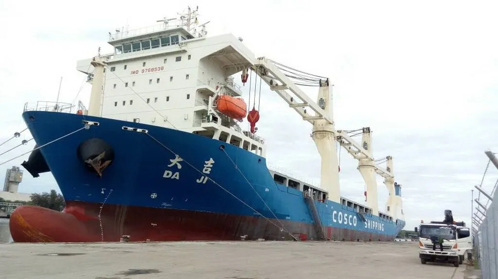
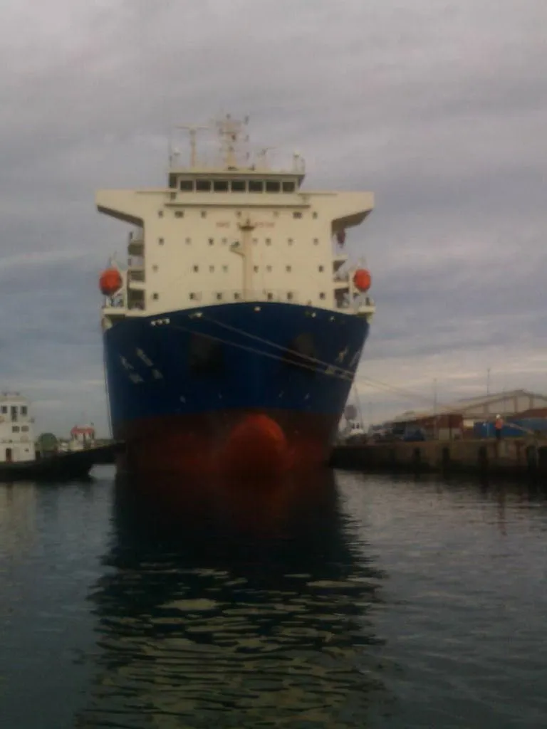
SALE OF SHIPPING
Krueng Geukueh Lhokseumawe Public Port in Krueng Geukeuh has a swimming pool of approximately 900,000, m2 (90 Ha) with a depth of 10 LWS. This is very adequate to serve the activities of large-weight ships that have been entered into the pier PT. Arun LNG, PT. Asean Fertilizer, PT. Pupuk Iskandar Muda and PT.KKA.
PORT AREAS AND AREA
Krueng Geukueh Lhokseumawe Public Port is located in Krueng Geukueh and Tambon Baroh Subdistricts of Dewantara District. According to Minister of Transportation Decree No.KM.2 Year 1998 that the land area of 38 Ha with status as Right of Management (HPL). The Area of Work Environment (DLKR) of this port waters is 10.941 Ha, while the area of environmental interest (DLKP) of Harbor waters is 9305 Ha.
Limitations of ecological monitoring activities of Krueng Geukueh Lhokseumawe Public Port are determined based on the relation of various natural processes by considering the large scale and extent of impact distribution, which include:
North: Malacca Strait.
East: Krueng Geukueh River
South: Industrial Area PT. Pupuk Iskandar Muda.
West: Industrial Area PT. Asean Aceh Fertilizer.
OSEANOGRAPHY CONDITIONS
• Tidal
GMT + 07.00
The nature of the mixed tide, inclines to double daily
Average riding on pairs of full / farm is 145 cm, on pairs dead 45 cm. The advance face (Zo) is 100 cm below the DT.
• Flow and Sea Waves
The sea off the coast of Krueng Geukueh Lhokseumawe Public Port is relatively quiet compared to other seas in temperate climates. Ocean currents are dominated by tidal currents flowing parallel to the coast from the east with maximum current velocities reaching 0.30 m / s.
• Weather
Krueng Geukueh Lhokseumawe Public Port is free from strong winds or typhoons. The monsoon wind blowing is not constant compared to the land or sea breeze, but still remains dominant. The terrestrial wind and sea breeze blew in October - May. Rainfall is generally high throughout the year, the highest rainfall occurring in October - January reached 100 - 230 mm. While the relatively dry season occurred in February, as well as between June - August