When you're standing with your camera at any spot on the surface of our planet you are inside the three dimensional space...
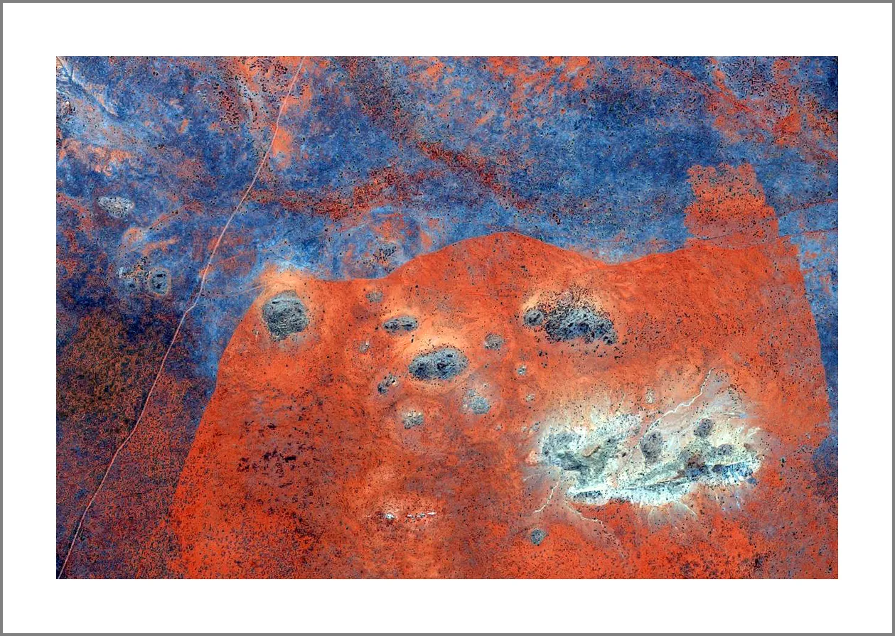
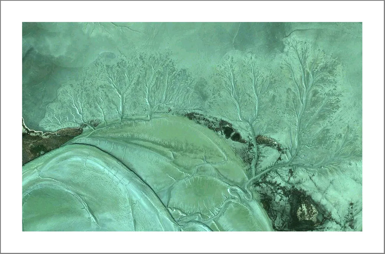
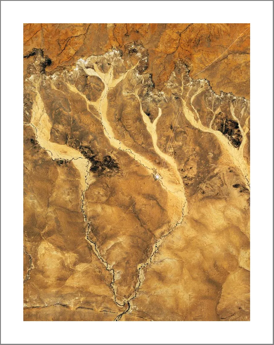
Now imagine moving up above the clouds and looking down.. you could do it with a camera attached to a drone or satellite equipped with the best photo/lens technology. What you see from above is yet another dimension of the landscape you can not see on the ground.. I call it "Another Dimension of Landscape" even if it's not scientifically correct..:)
Screenshots of Australia from Google Maps. Hope you like it!
Cheers!
bluedomain