Dear steemians...
The province of Aceh located in Sumatra Island and is the most western region of the Country of Indonesia. where the outermost point of the Unitary State of the Republic of Indonesia located on the Island of Rondo, while it is Zero kilometer of Indonesia located on the island of Weh.
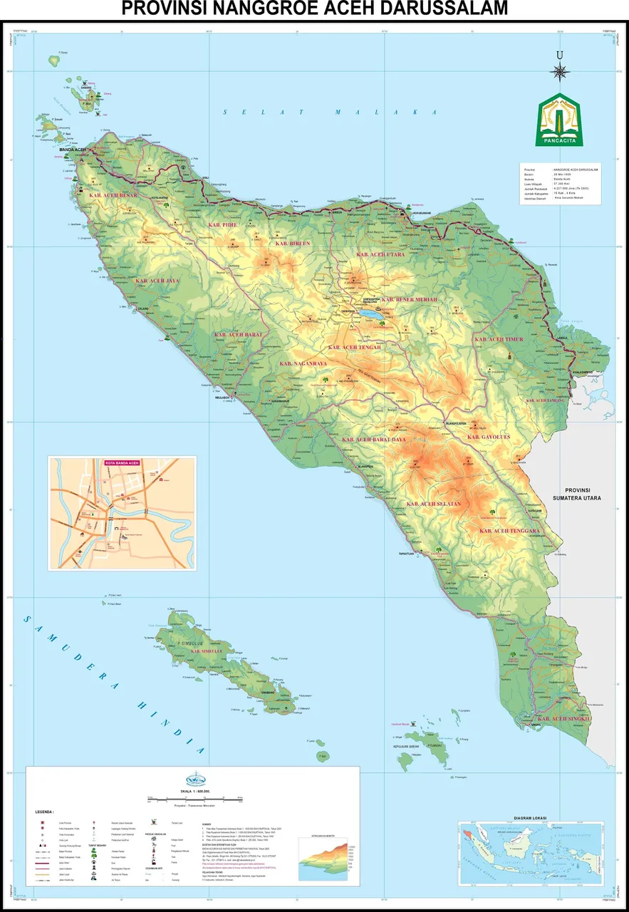
Buddy who wants to get to know the region of Aceh further and search for a Map of the Province of Aceh high resolution /HD here is the Map of Aceh published by Bakosurtanal.
 the map to zoom in
Geographically, Aceh is located between 2° - 6° north latitude and 95° – 98° south latitude with an average elevation of 125 meter above sea level. Boundaries of the region of Aceh, north and east bordered by the Strait of Malacca, the south is the only land border with North Sumatra Province and on the west by the Indian Ocean. The vast Province of Aceh 5.677.081 ha.
Thanks !! #esteem