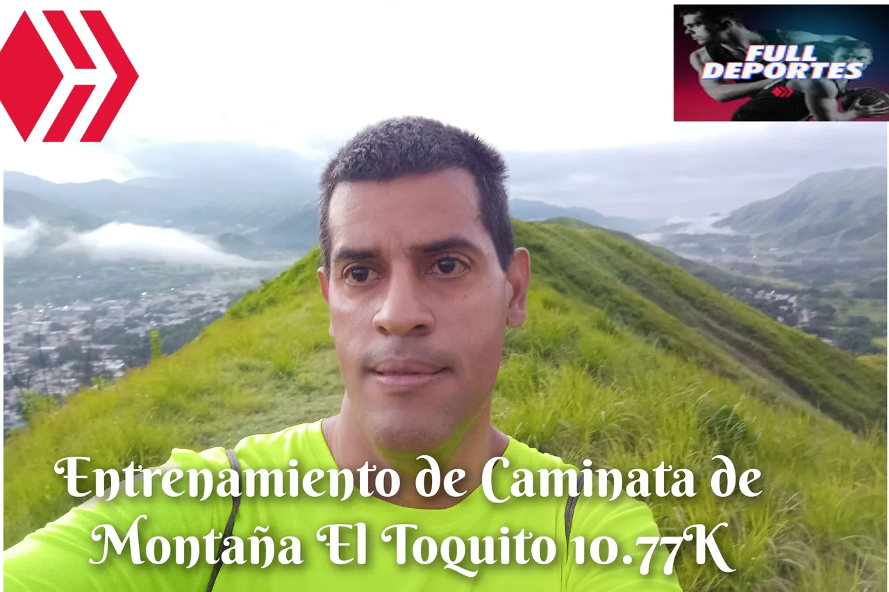
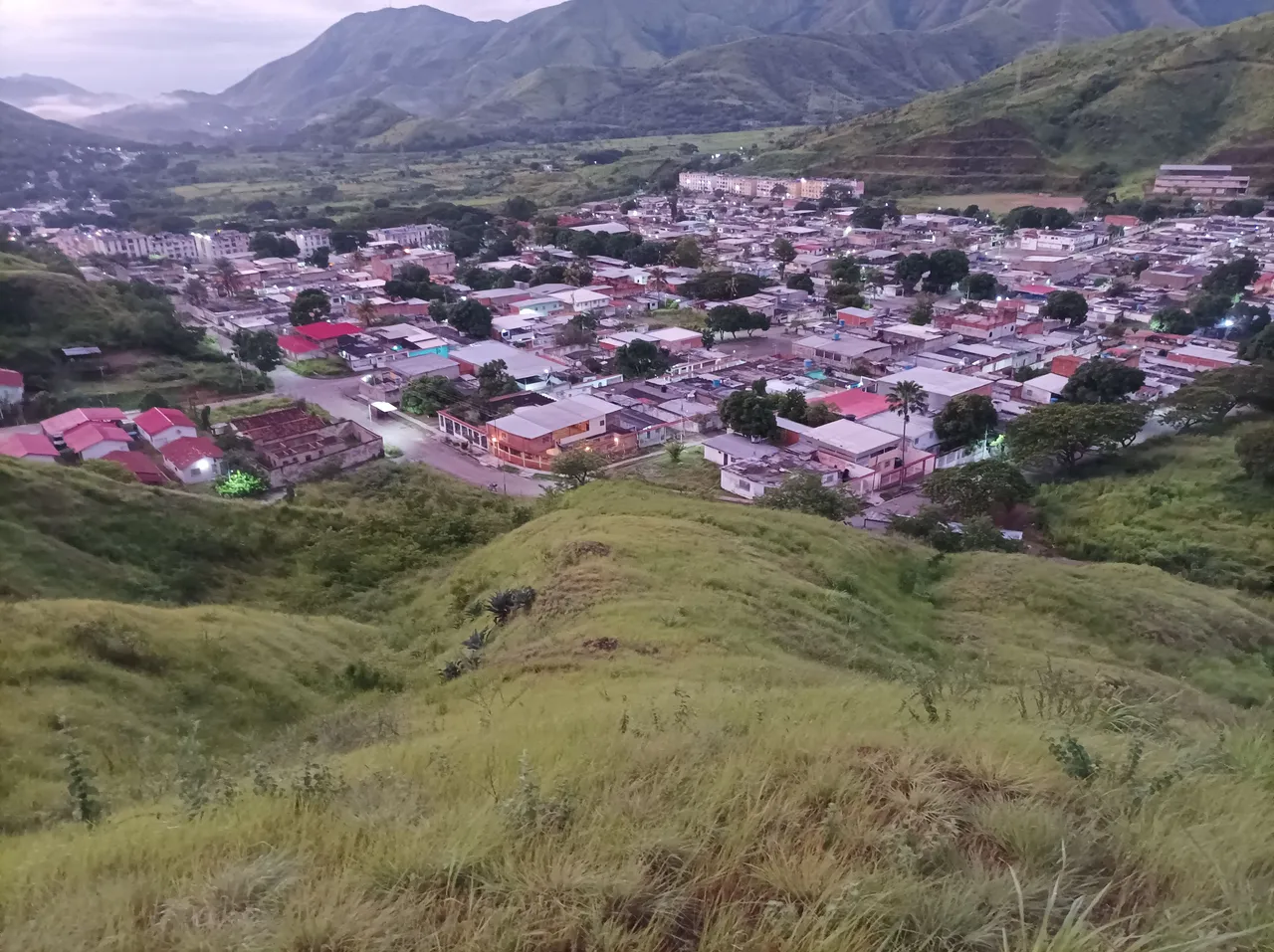
Greetings friends of Hive and @fulldeportes, today I am going to share with you my mountain walking training that I did on El Toquito Hill - Nueva Ruta - Pista, in the community of Villa de Cura, Aragua state, Venezuela.
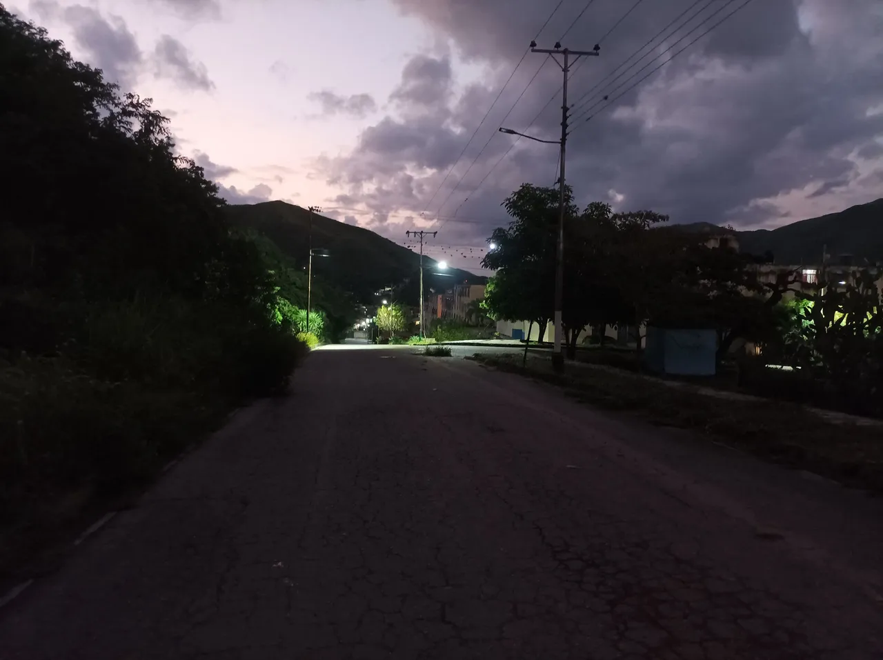
Cabe destacar que esta semana sólo entrene el día lunes debido a que todos estos días estuvo lloviendo en las mañanas y en las tardes también, le iba avisar a mi hermano para subir el cerro El Peñón, pero llovió nuevamente, y entonces decidí subir el cerro del Toquito, saliendo bien temprano a la 5:36 am, activando la aplicación Strava, y la carretera mojada por la lluvia, pasando por todo el centro de la comunidad y llegar al sector del Toquito con un tiempo de 21 minutos, todavía estaba oscuro y empezó a aclarar a medida que comencé a subir la montaña.
It should be noted that this week I only trained on Monday because all these days it was raining in the mornings and in the afternoons as well. I was going to tell my brother to climb the El Peñón hill, but it rained again, and then I decided to climb the hill. del Toquito, leaving very early at 5:36 am, activating the Strava application, and the road wet from the rain, passing through the entire center of the community and arriving at the Toquito sector with a time of 21 minutes, it was still dark and it started to clear up as I started to climb the mountain.
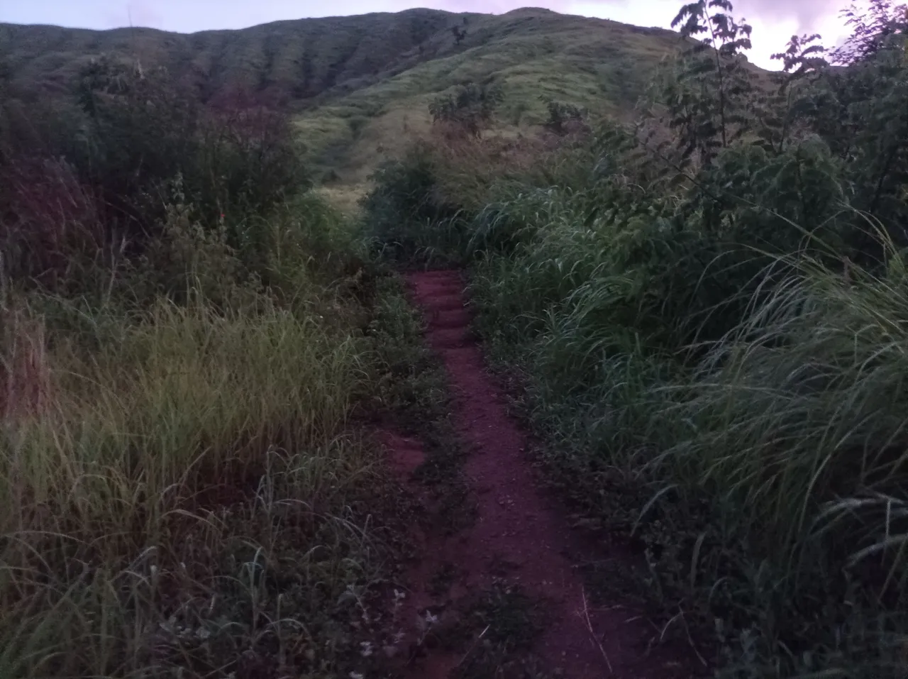
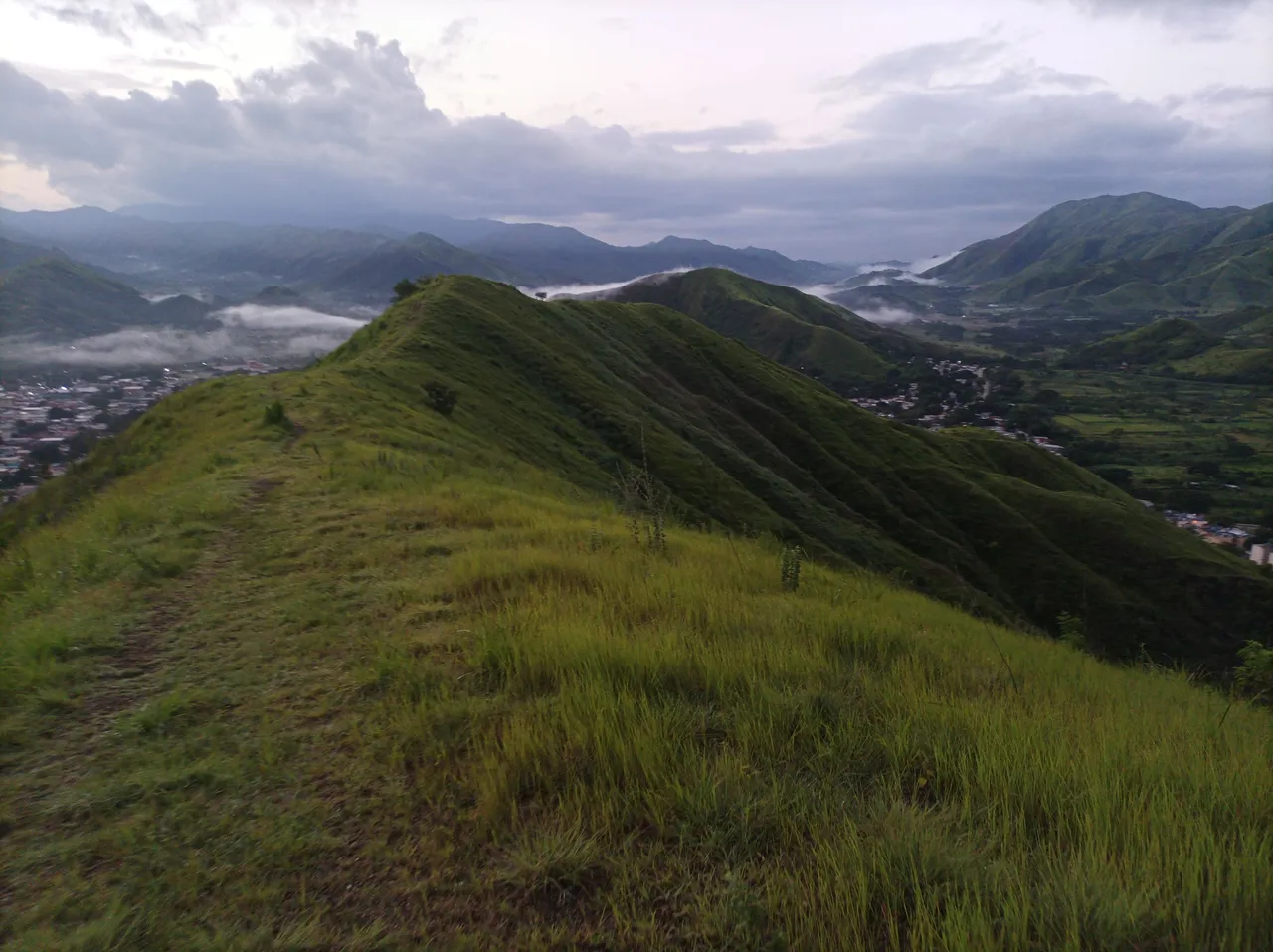
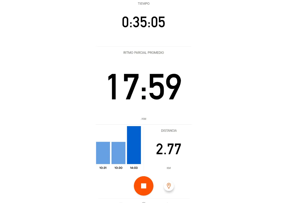
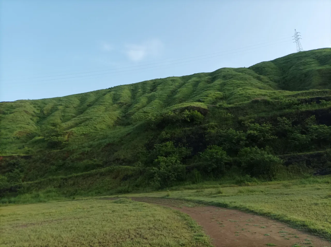
En este recorrido de hoy, el clima estaba fresco y pensé que iba haber mucha neblina, en la primera.pendiente mi reloj registro un tiempo de 29 minutos y una distancia de 2.52K, a medida que iba subiendo los zapatos se me fueron humedeciendo debido a que los arbustos tenía agua, pasé la segunda subida y luego seguí caminando a un ritmo de un 60%, llegué a la cima con un tiempo de 35 minutos y una distancia de 2.77K.
On this route today, the weather was cool and I thought there was going to be a lot of fog, on the first slope my watch recorded a time of 29 minutes and a distance of 2.52K, as I went up my shoes became wet because Because the bushes had water, I passed the second climb and then continued walking at a pace of 60%, I reached the top with a time of 35 minutes and a distance of 2.77K.
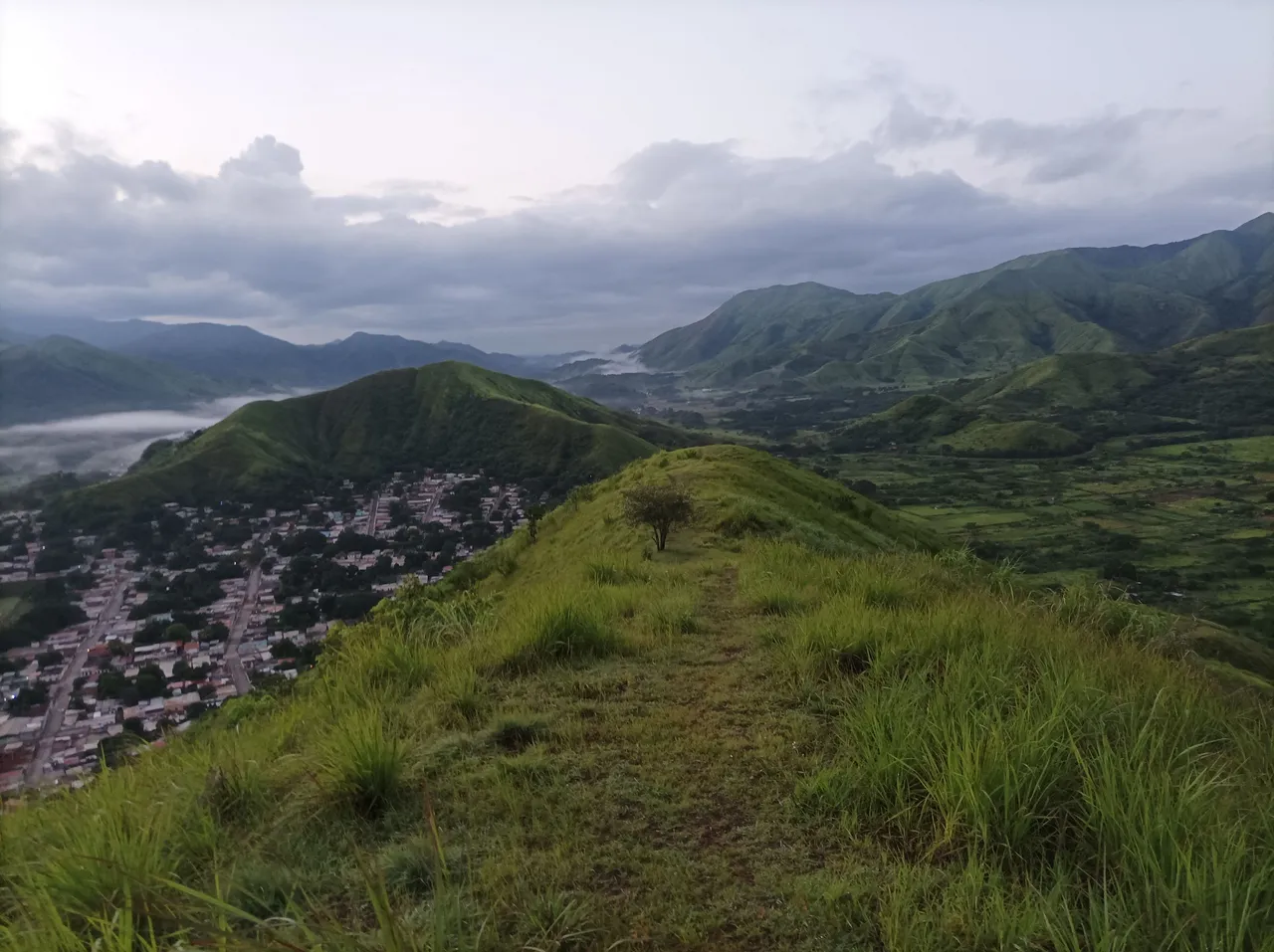
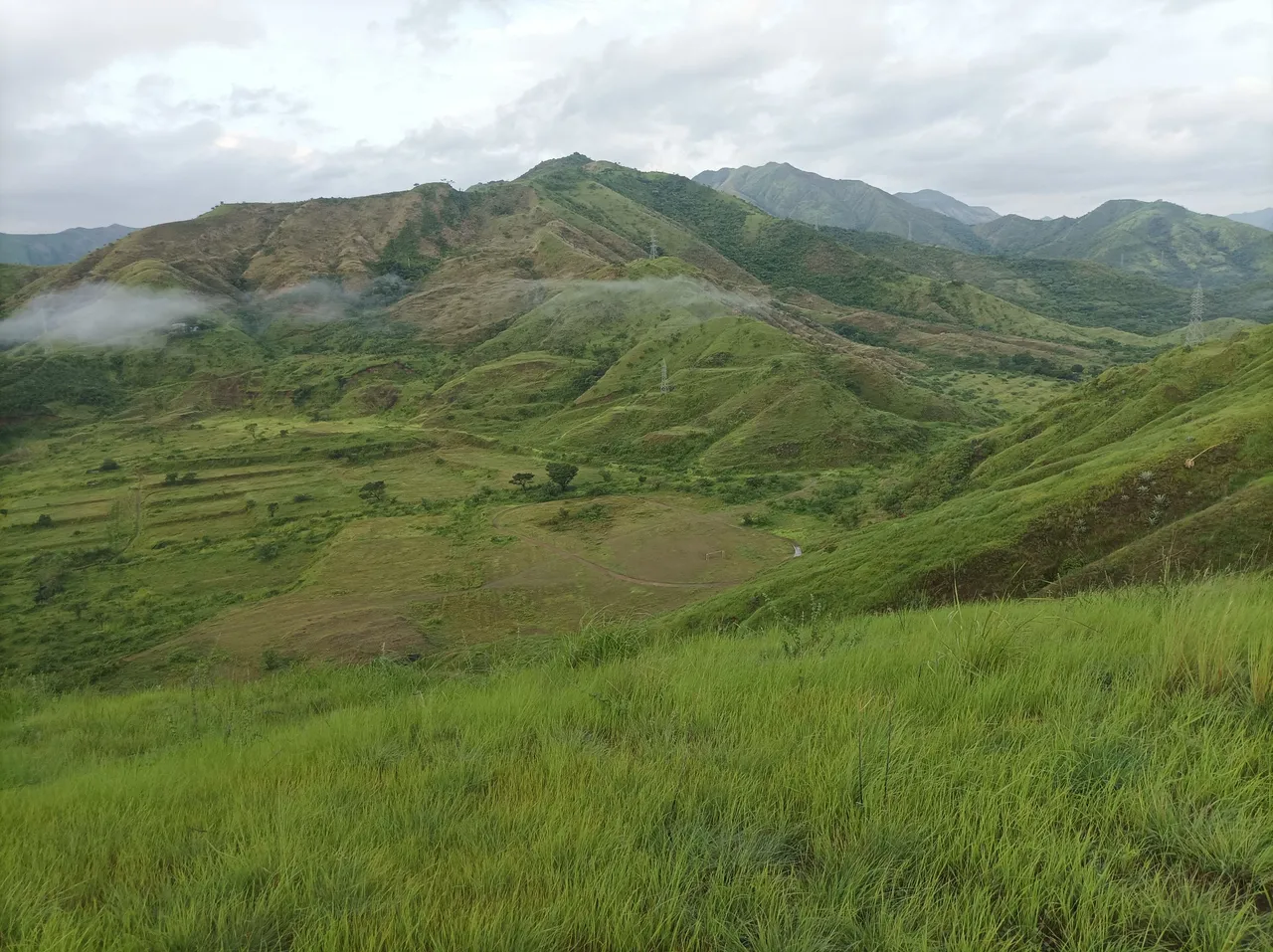
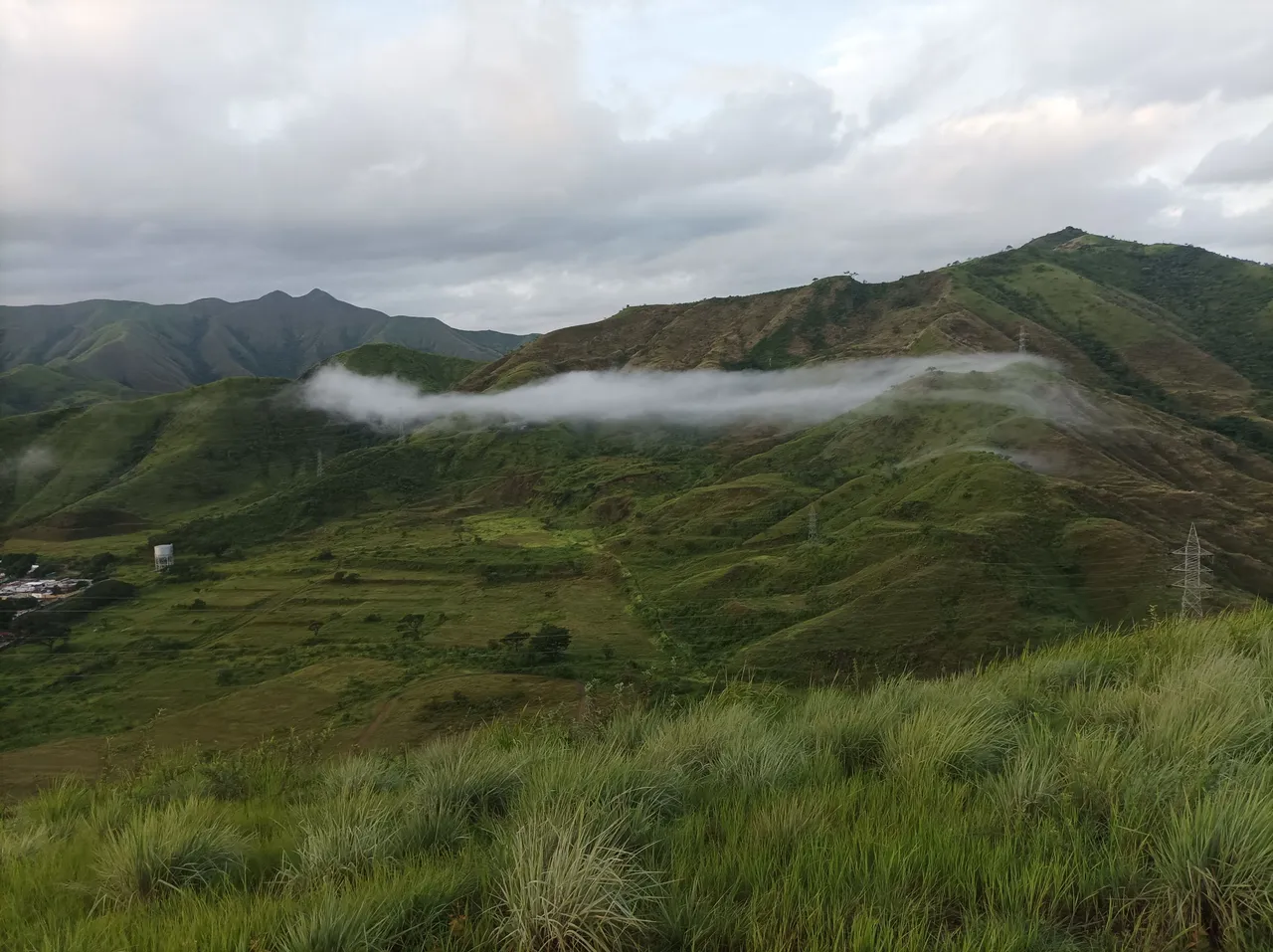
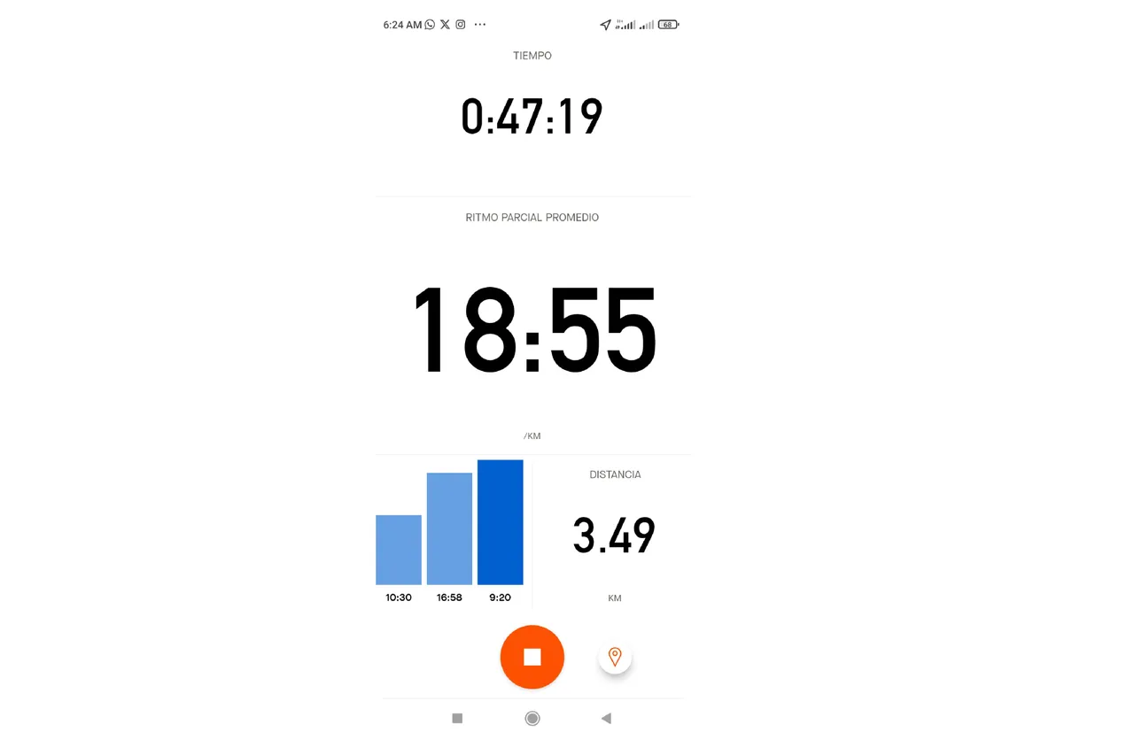
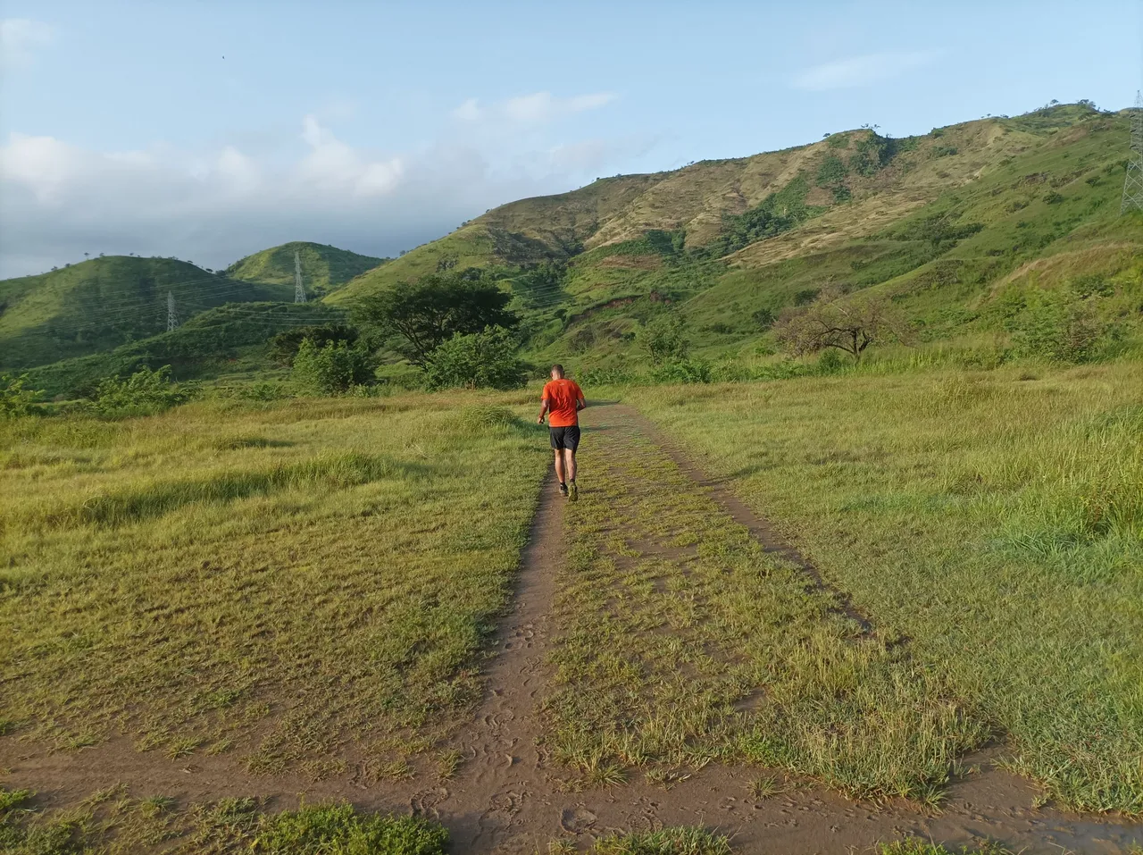
Asimismo, seguí a la derecha de la montaña, desde donde podemos ver de frente el centro de Villa de Cura y en la parte posterior el sector El Toquito, al llegar a la punta comencé bajar esta es una ruta nueva para completar una distancia de 10K, el descenso hay que hacerlo con cuidado porque es resbaladizo el terreno, hasta completar la distancia de 3.49K con un tiempo de 47 minutos, luego me devolví, para subir esta pendiente empinada.
Likewise, I continued to the right of the mountain, from where we can see the center of Villa de Cura in front and in the back the El Toquito sector, when I reached the tip I began to go down this is a new route to complete a distance of 10K , the descent must be done carefully because the terrain is slippery, until completing the distance of 3.49K with a time of 47 minutes, then I turned back to climb this steep slope.
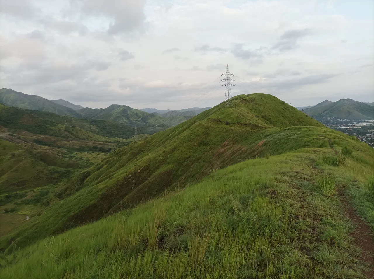
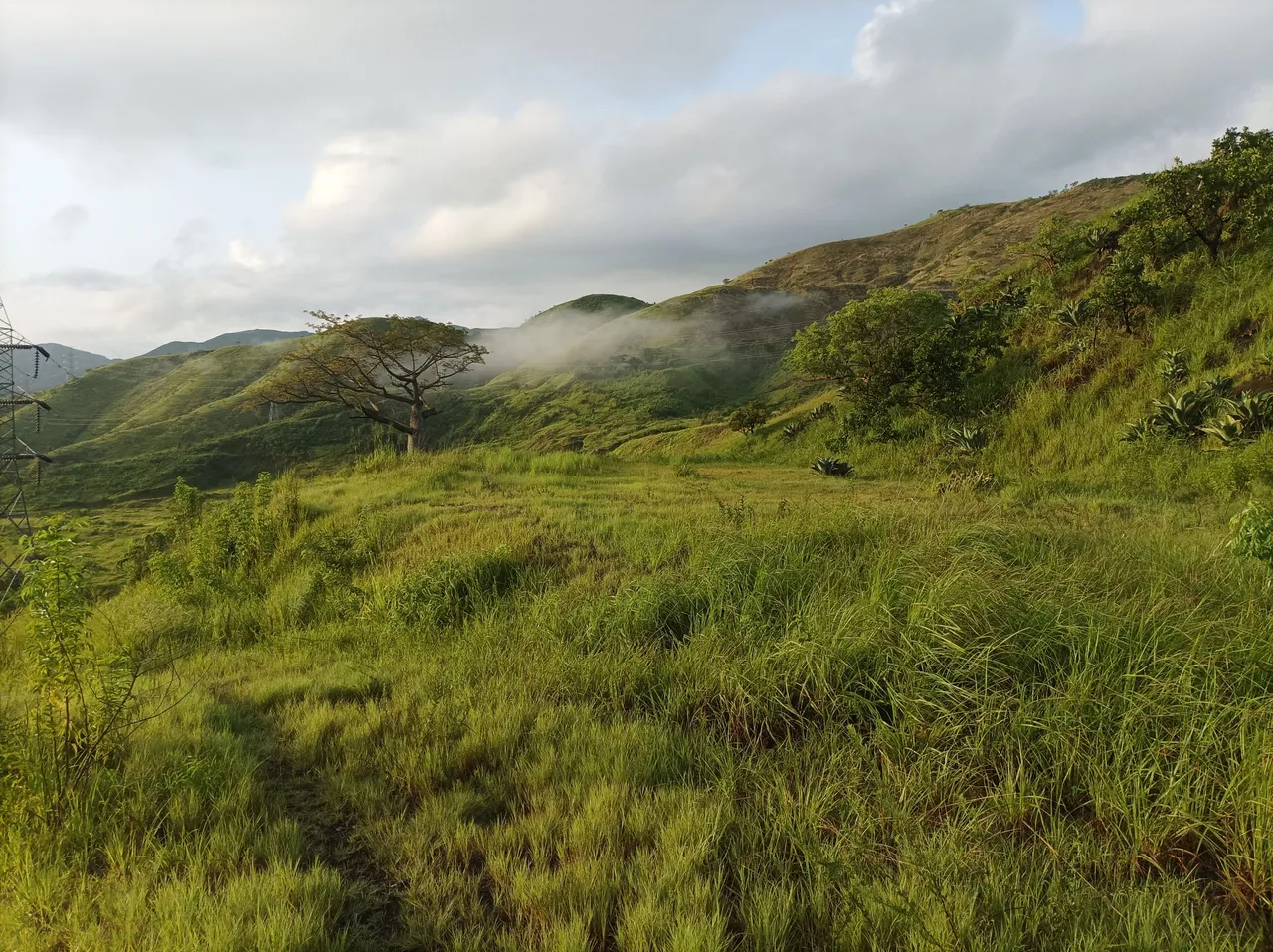
Una vez que terminé de subir, continúe caminando al otro extremo para comenzar a bajar nuevamente y poder visualizar la pista de atletismo, completando una distancia de 5K todavía en la montaña, después que llegue a la pista con una distancia de 5.35K, para buscar el camino y subir la montaña de frente, y dar una vuelta y llegar a la pista, para entonces hacer una mayor distancia le cuatro vuelta a la pista que 400 metros cada una, es decir 1.6K, realizando un total de 8K, en 1 hora con 49 minutos, para después salir de allí y llegar nuevamente al sector del Toquito.
Once I finished going up, I continued walking to the other end to start going down again and be able to visualize the running track, completing a distance of 5K still on the mountain, after I reached the track with a distance of 5.35K, to search the road and climb the mountain straight ahead, and make a turn and reach the track, to then make a greater distance four times around the track than 400 meters each, that is, 1.6K, completing a total of 8K, in 1 hour and 49 minutes, and then leave there and arrive back at the Toquito
sector.
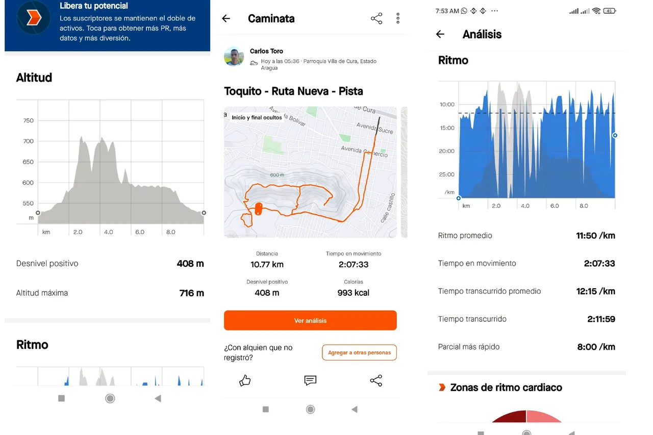
Continúe mi recorrido por esta comunidad y bajé por la calle doctor Morales, llegando al centro de Villa de Cura, para finalizar mi entrenamiento en el mismo punto de salida con un tiempo de 2 horas 11 minutos con 59 segundos y una distancia de 10.77K, registrado en la aplicación Strava.
I continued my tour through this community and went down Doctor Morales Street, arriving at the center of Villa de Cura, to finish my training at the same starting point with a time of 2 hours 11 minutes and 59 seconds and a distance of 10.77K, registered in the Strava app.
Espero que les haya gustado mi entrenamiento de caminata de montaña, nos vemos en el próximo.
I hope you liked my mountain walking training, see you in the next one.
Fotografías: Teléfono Redmi Note 10
Portada realizada en APP GridArt
Logos utilizados de Hive y de fulldeportes
Traductor utilizado: Traductor de Google
Photos: Redmi Note 10 Phone
Cover made in The APP GridArte
Used logos of Hive and fulldeportes
Translator used: Translator used: Google Translate

Vote la-colmena for witness By @ylich