It seems that Sunday trips are becoming our tradition.
This year I have definitely fewer concerts to play, so I can spend more weekends with my family, which makes me very happy.
A week ago, on Sunday, we went for a walk to the forest to see what our ski jumping hill looks like from the top. Link to this trip I put here - link
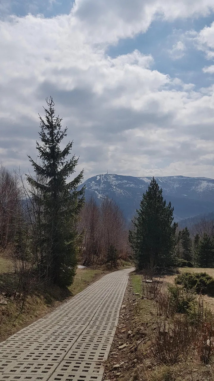
I write about it, because on one of the photos in that post You can see the Beskid Sport Arena ski center, and the peak of the Klimczok mountain.
Yesterday we decided to go to the other side of the mountains surrounding Szczyrk.
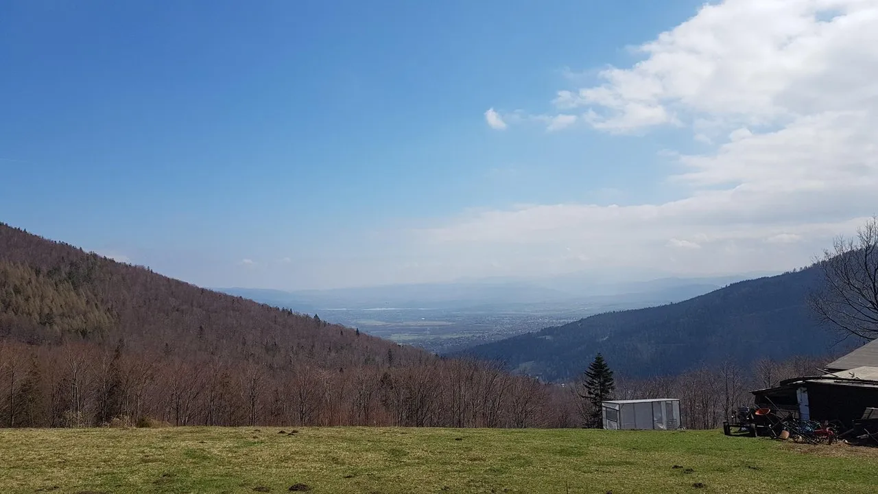
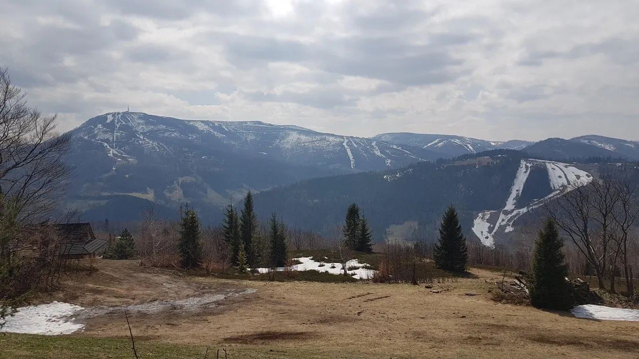
I planned the first stop at an altitude of 660 meters above sea level. I like this place because from this height you can already admire the views of the Szczyrk valley towards the Żywieckie lake.
The next stage of the road is a fairly steep climb up. The road passes through a mountain settlement named Podmagura. The slope of the road is quite strong, but there are still road plates, so the route is quite pleasant.
When we passed the last residential houses, the first panorama appeared in front of us.
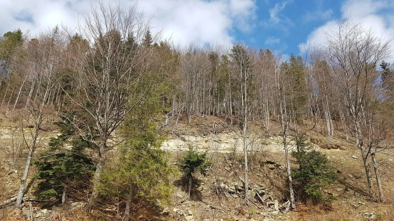
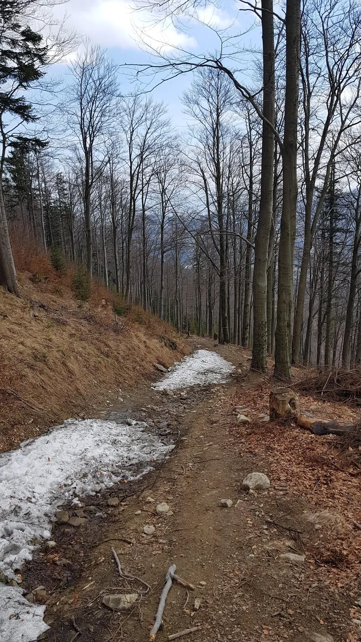
Going further, we enter the forest. On the slopes of Klimczok, the beech forest prevails. At this time of year, there are no leaves on beech trees, which creates an interesting atmosphere.
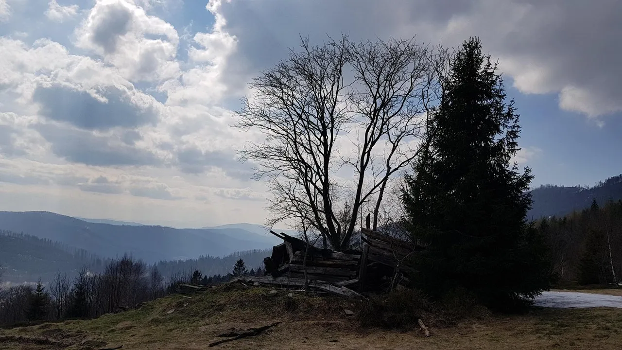
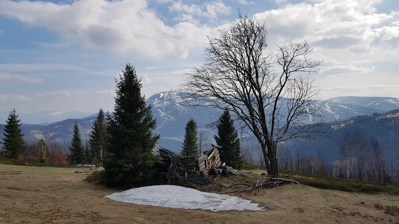
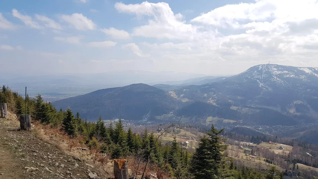
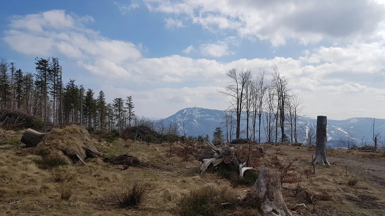
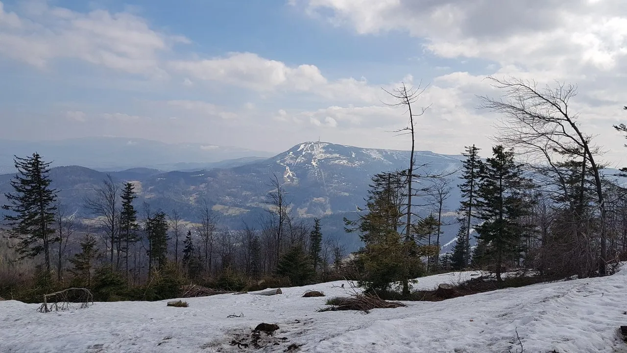
The next stop on the route, we set up on the site for folding trees cut in the forest. Sitting on the felled logs of trees, we admired the beautiful view of Skrzyczne.
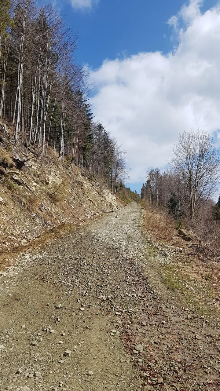
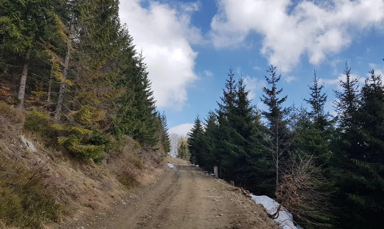
After a short rest we moved on. The walking trail leads along a wide forest road. It serves the purpose of transporting supplies to the mountain hut on Klimczok, and for transporting cut trees from the forest.
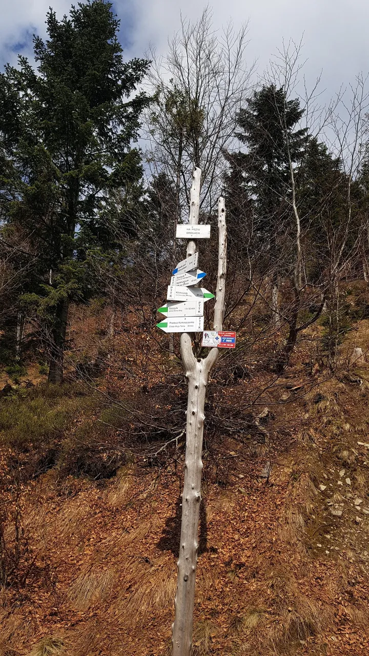
After a few hundred meters, we reach the crossroads of tourist routes. This intersection is called "On five roads". At this intersection, there are, among others, two routes to the Klimczok mountain: the blue trail to the saddle under Klimczok, and the green trail to the shelter next to the summit of the Klimczok mountain. We chose the gentler one, and with nicer views - the green trail.
Just after the first corner we realized that the choice of the green trail was a good choice.
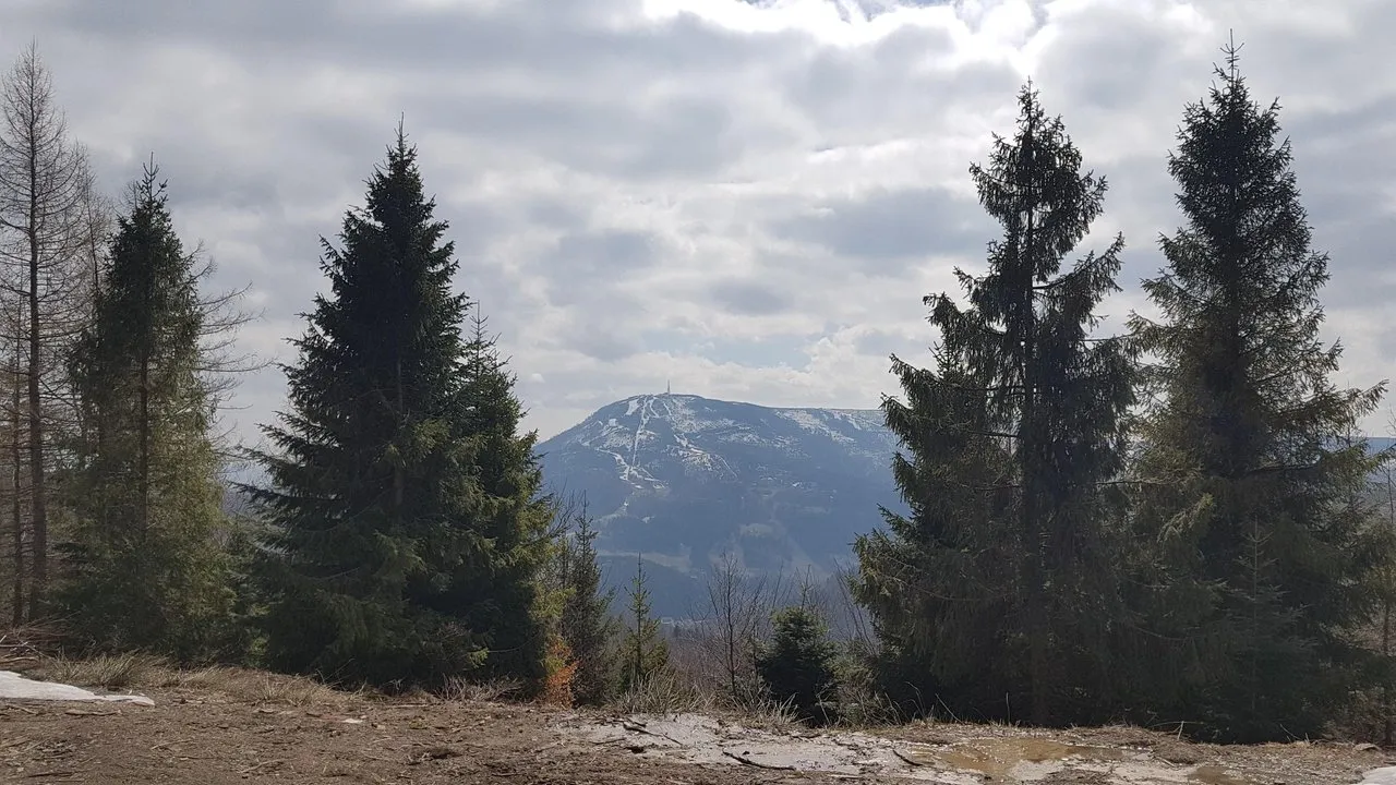
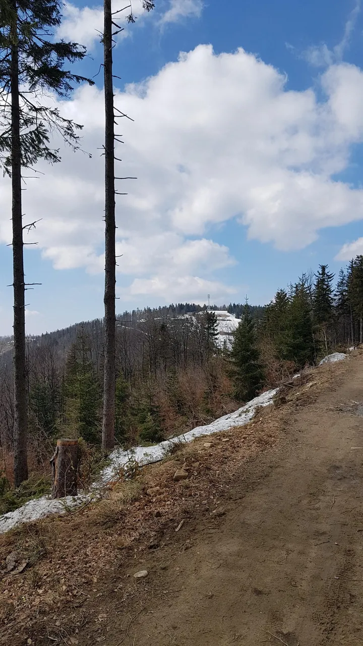
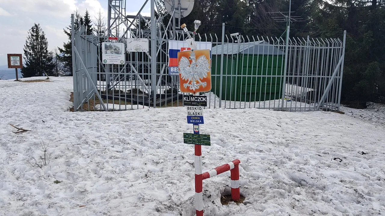
Climbing up calmly, we soon noticed our destination - the summit of the Klimczok mountain.
The road turned slightly to the right, and we reached the mountain hut.
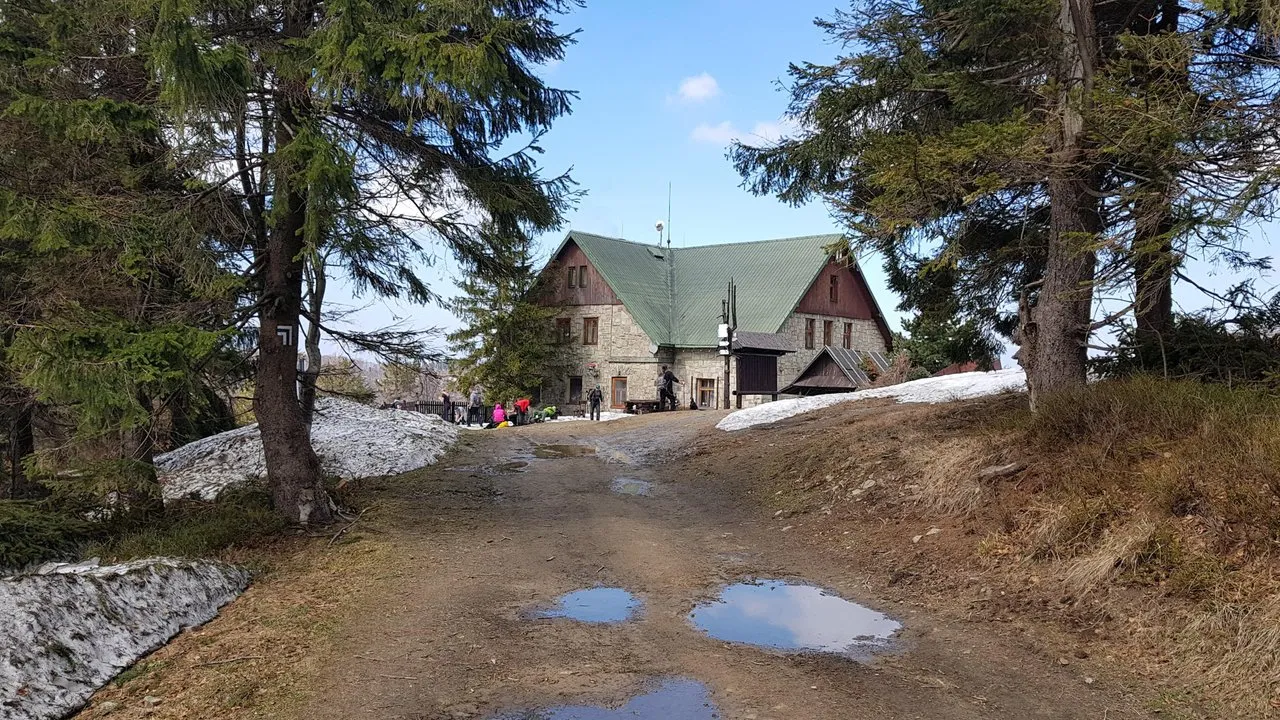
We rested in the shelter for a while, we ate something good, and we set off towards the top of the mountain.
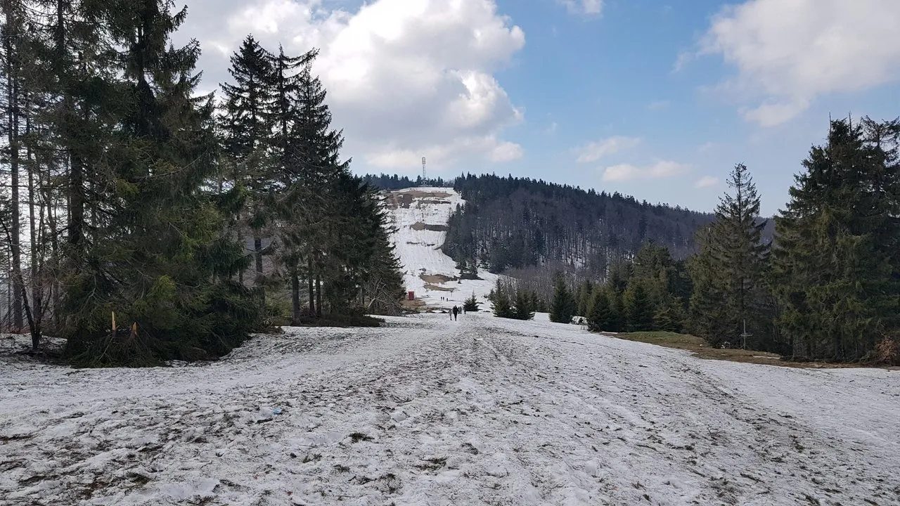
In this place - under the peak - the blue trail ends - this place is called a saddle.
The family stays in this place, and I climb throught the snow to the top of the mountain.
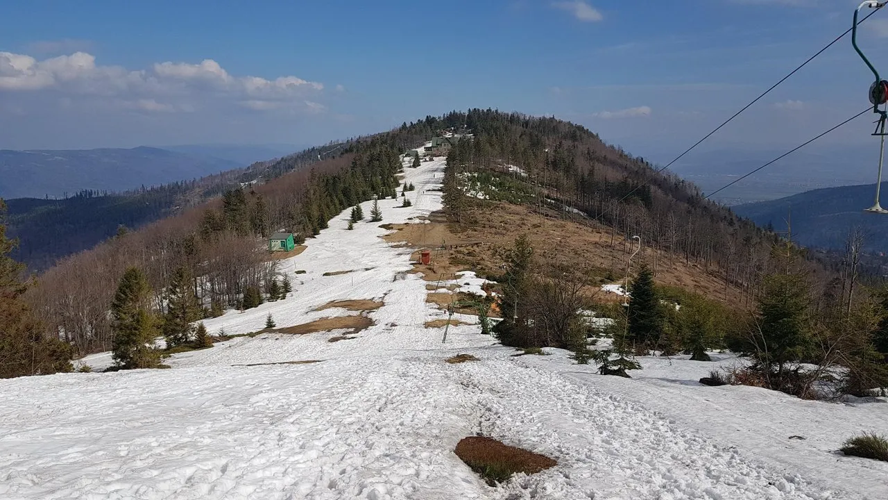
From the top I admire the panorama.
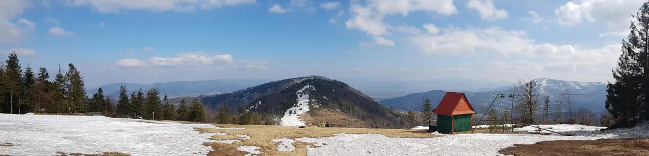
Commemorative photo at the top (here the frontier zone starts)
Last moments at the top. Below, my hometown - Szczyrk, and opposite - the Skrzyczne Mountain.
It's time to go back.
A steep blue trail descends from the saddle down.
That's how our trekking to Klimczok ended.