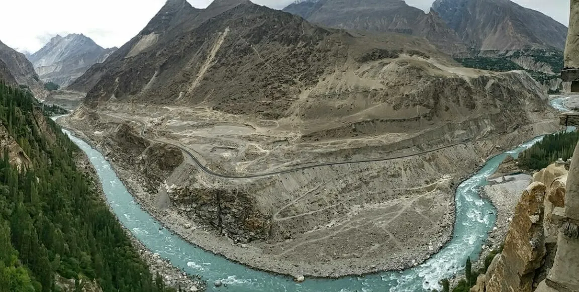
Every traveller must fall in love with the area at first sight. It is a valley with ancient history and many monuments - especially massive castles standing on the river promontories. There is nothing better than to get to Karimabad (2420 m asl), the heart of the Hunza valley, after a difficult and long trek, sit on the terrace of one of the small hotels, pluck ripe apricots directly from the tree and enjoy the breathtaking sunsets at the local mountain queen - Rakaposhi (7788 m asl). Hunza river broke here through the ridge of the mighty Karakoram, which is more than five kilometers higher, so there are plenty of dramatic views in all directions.
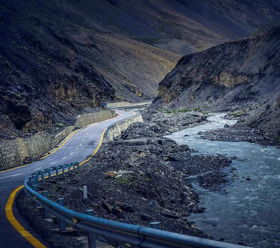
THE KARAKORAM HIGHWAY is a 800 mile road from Islamabad. . It passes within earshot of great 25,000 foot peaks like Nanga Parbat and Rakaposhi. Travel on the Karakoram Highway is not for the weak hearted. There are no shoulders and vehicles sometimes have to skirt within inches of sheer drop-offs into the valleys and rushing rivers below.The Karakoram Highway was reportedly built as a "symbol of Pakistan-Chinese friendship and cooperation" and hailed it as a means of promoting tourism and bring mountain tribes into the mainstream. The road is open in the summer but is often closed other time of the year.The Karakoram Highway on the Chinese side is now almost completely paved, making it is easier to get to Kashgar overland from Pakistan than most places in China.