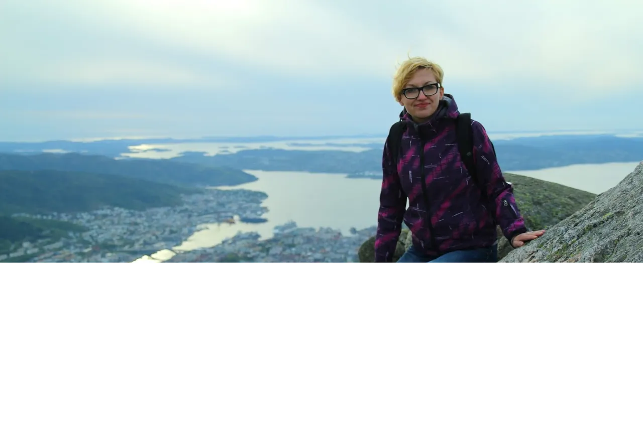
Jakiś czas temu pisałam, że uwielbiam Norwegię i odwiedziłam ją jak dotąd 3 razy. Ostatni raz miał miejsce w 2015 roku i nie powiem, chętnie wybrałabym się znowu. Niestety, póki co mogę jedynie "palcem po mapie". Zapraszam więc do krótkiego opisu kilku spośród moich ulubionych miejsc w Norwegii. Przy czym zaznaczam, że niestety z różnych powodów nie udało mi się odwiedzić wszystkich miejsc, które bym chciała. Powodem były np. ogromne opady śniegu w maju/czerwcu, które zamknęły drogi i nie było jak dojechać, albo ogromnej wichury, która uniemożliwiła wspinaczkę na Preikestolen, mimo że byłam u jej podnóża.
Some time ago I wrote that I love Norway and have visited it 3 times so far. The last time was in 2015 and I won't say, I'd love to go there again. Unfortunately, so far I can only reminisce and wonder. Here are briefly described some of my favourites places inNorway. At the same time, I would like to point out that, unfortunately, for various reasons, I have not been able to visit all the places that I wanted to. The reason was e.g. huge snowfalls in May / June, which closed the roads and there was no way to get there, or a huge windstorm that made it impossible to climb Preikestolen, even though I was at its foot.
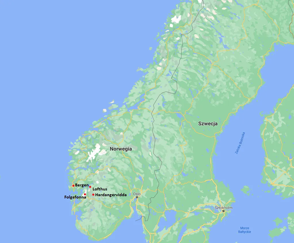
Dzisiaj wspominki z kilku miejsc: Hardangervidda, Lofthus, Folgefonna oraz Bergen.
Today, memories from several places: Hardangervidda, Lofthus, Folgefonna and Bergen.
Hardangervidda
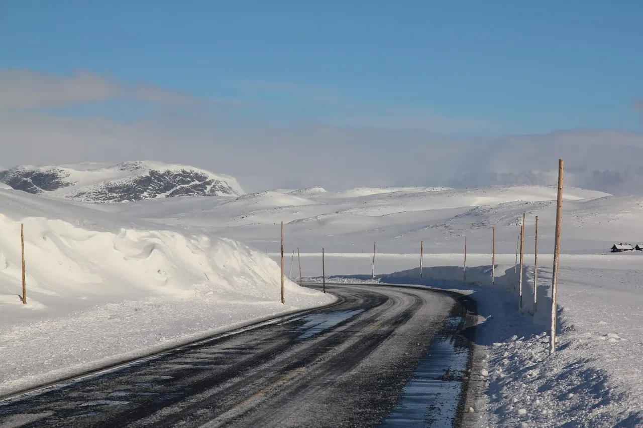
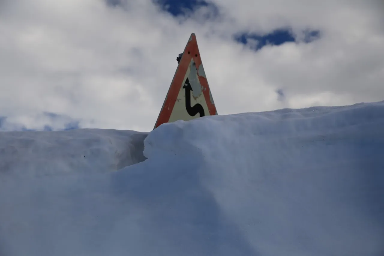
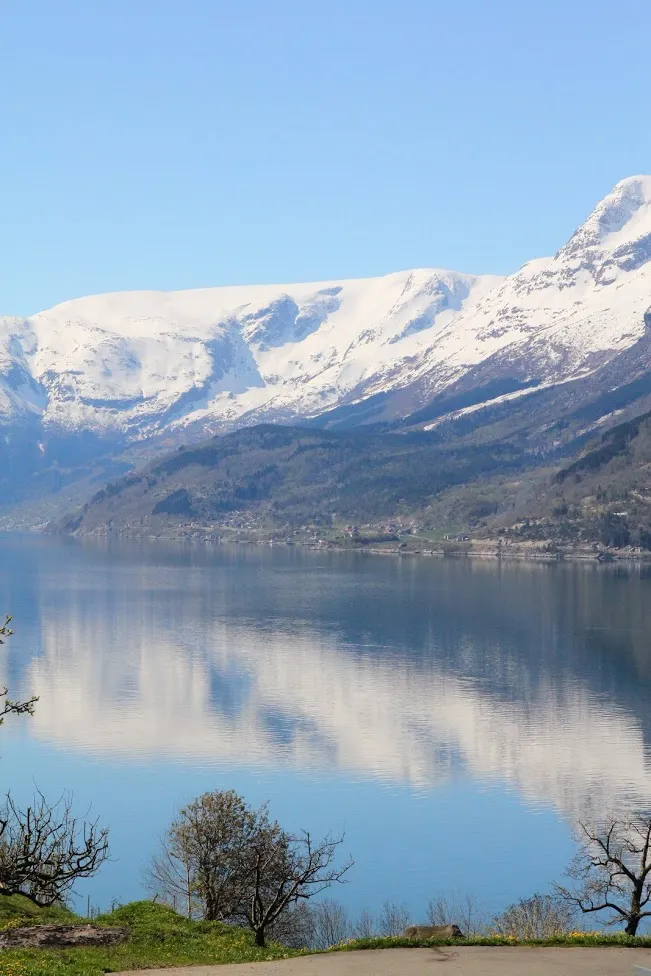
Za każdym razem jako pierwszą bazę wypadową wybieramy Lofthus Camping. Aby tam dojechać, trzeba przejechać przez płaskowyż Hardangervidda. Całą trasę z Polski pokonujemy samochodem, więc na tym etapie podróży mamy już za sobą niemal 700 km polskich dróg, nocleg na promie, urokliwą Szwecję i sporą część Norwegii, w tym przejazd przez Oslo. Ale tak naprawdę dopiero przejeżdżając przez Hardangerviddę czuję, że jestem w Norwegii.
Each time we choose Lofthus Camping as our first appartment for several nights. To get there, you need to cross the Hardanger Plateau. We cover the entire route from Poland by car, so at this stage of the journey we already have done almost 700 km of Polish roads, accommodation on the ferry, charming Sweden and a large part of Norway, including a drive through Oslo. But it is only when I drive through the Hardangervidda that I feel I'm in Norway.
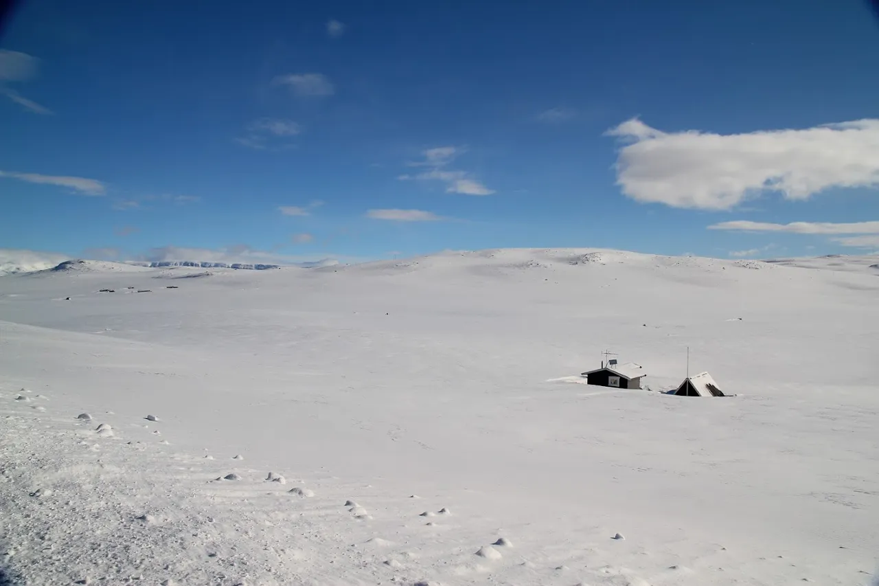
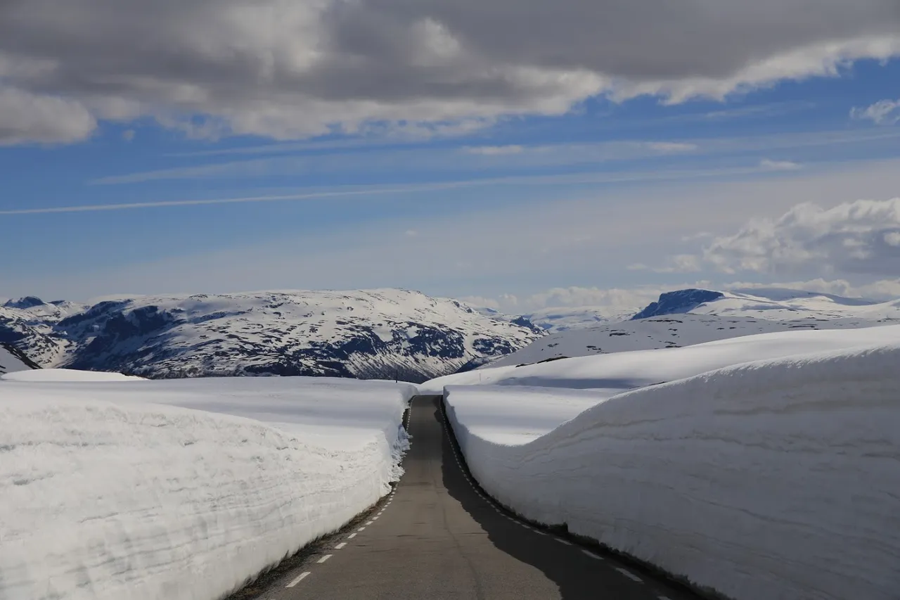
Jest to największy płaskowyż Europy – zajmuje obszar 10 tys. km2. Na sporej jego części – 3400 km2 – utworzono największy w Norwegii park narodowy. Od wieków Hardangervidda była miejscem polowań i połowów. W trakcie II Wojny Światowej stała się natomiast schronieniem dla partyzantów i uciekinierów, którzy wśród bezkresnych wzgórz mogli czuć się bezpiecznie.
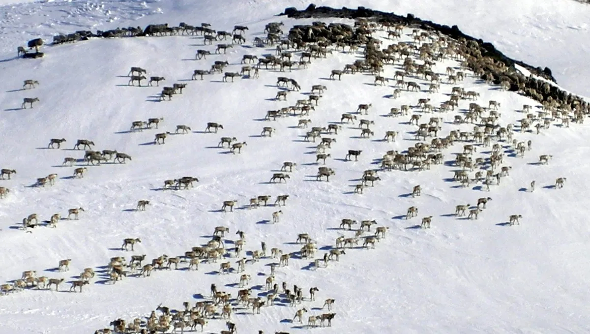
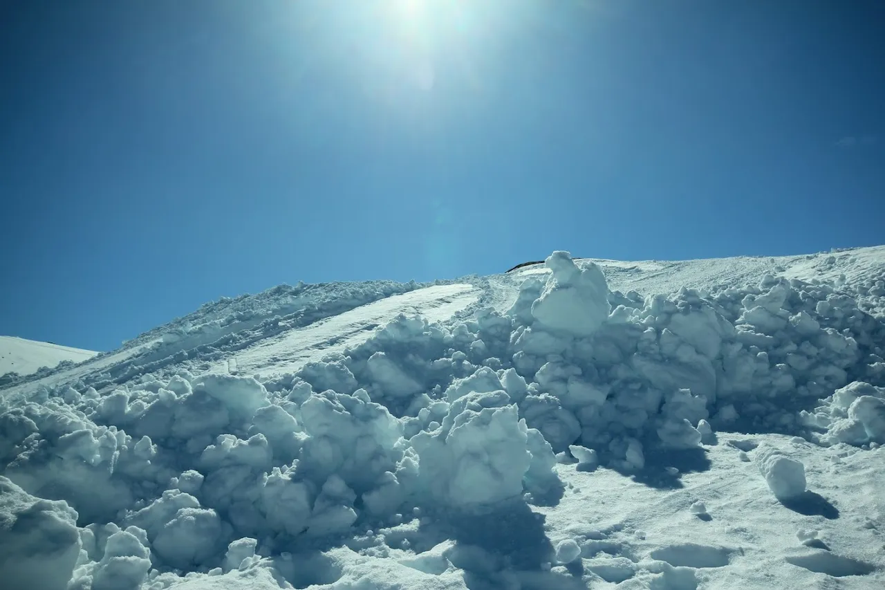
Płaskowyż leży powyżej strefy roślinnej drzew. Cechuje go wręcz księżycowa sceneria, charakterystyczna bardziej dla obszarów Dalekiej Północy niż dla środkowej Norwegii. Jeśli ktoś ma wystarczająco dużo szczęścia, może tam napotkać stado reniferów. Hardangervidda jest celem turystycznym samym w sobie dla wielu miłośników trekkingu. My niestety zawsze tylko przejazdem, ale i tak widok z okien oczarowuje.
It is the largest plateau in Europe - covering an area of 10 thousand. km2. On a large part of it - 3,400 km2 - the largest national park in Norway has been created. For centuries, Hardangervidda has been a hunting and fishing destination. During World War II, it became a refuge for partisans and refugees who could feel safe among the endless hills.
The plateau lies above the trees vegetation zone. It is characterized by an almost lunar scenery, more characteristic of the areas of the Far North than of central Norway. If someone is lucky enough, he may encounter a herd of reindeer there. Hardangervidda is a tourist destination in itself for many trekking enthusiasts. Unfortunately, we are always just passing through, but the view from the windows is still enchanting.
A zdjęcie poniżej spoza mojej kolekcji (ze strony https://www.kxan36news.com/fear-the-reindeer-on-the-hardangervidda-mountain-plateau-to-lose-the-fetus) jako dowód, że to z reniferami to nie tylko legenda :)
And the photo below is not from my collection (source: https://www.kxan36news.com/fear-the-reindeer-on-the-hardangervidda-mountain-plateau-to-lose-the-fetus), the proof that the reindeers are not only a legend :)
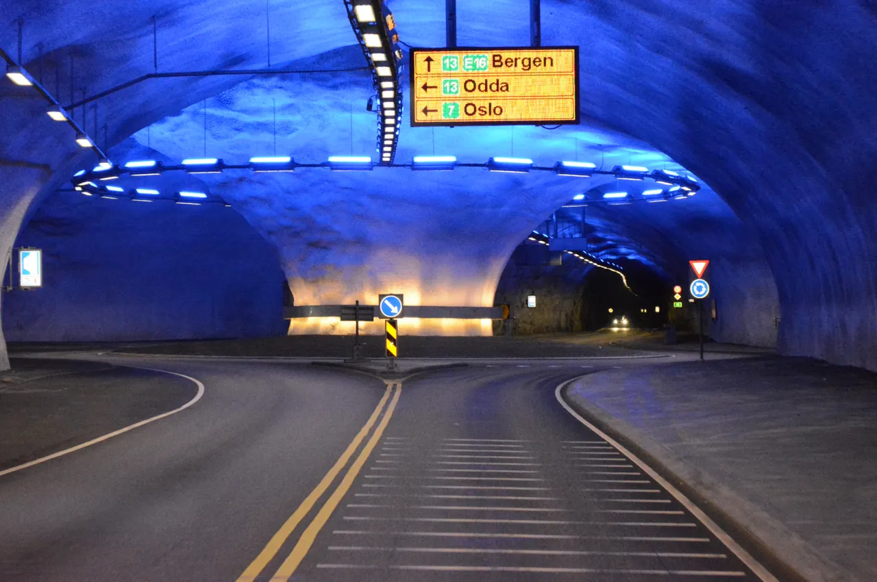
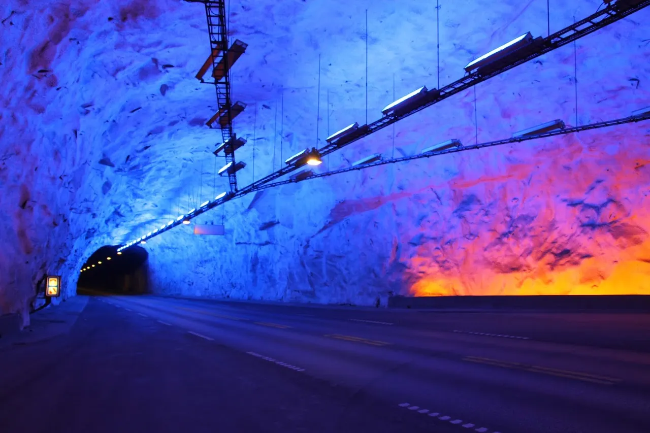
Jadąc dalej w kierunku Lofthus przejeżdżamy przez liczne norweskie tunele, z których jeden jest bardzo ciekawy - ponieważ w środku ma rondo. Ten konkretny tunel to Vallavik Tunnel o długości 7,5 km. Tunele podczas podróżowania po Norwegii trzeba polubić, ponieważ jest ich naprawdę mnóstwo. W tym również i jeden z najdłuższych na świecie - Lærdal Tunnel (24.5 km).
Going further towards Lofthus we pass through numerous Norwegian tunnels, one of which is very interesting - because it has a roundabout in the middle. This particular tunnel is the 7.5 km Vallavik Tunnel. When traveling around Norway, you must like tunnels because there are so many of them. Including one of the longest in the world - Lærdal Tunnel (24.5 km).
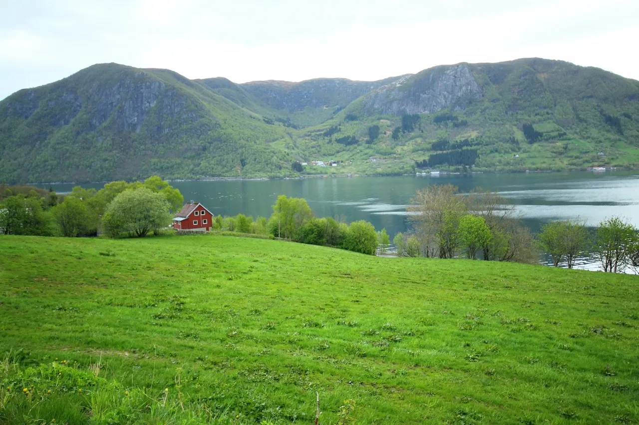
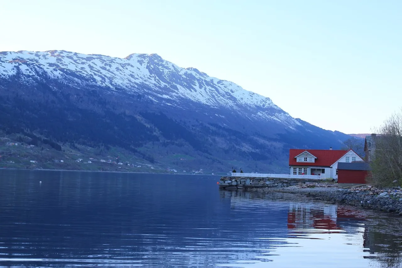
Lofthus i okolice | Lofthus and surroundings
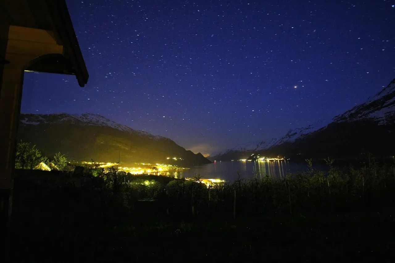
Do Lofthus docieramy w nocy. Oznacza to, że jeśli jest kwiecień lub początek maja - to jest ciemno, jeśli czerwiec - jak w pochmurny dzień. Tak czy siak, widoki są bajkowe.
We reach Lofthus at night. This means that if it is April or the beginning of May it is dark, if it is June it is like a cloudy day. Anyway, the views are fabulous.
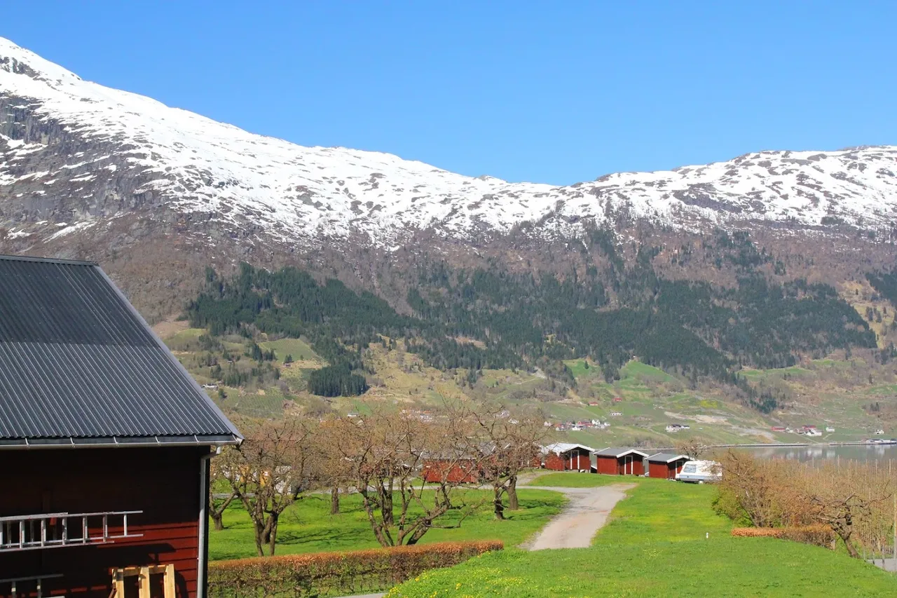
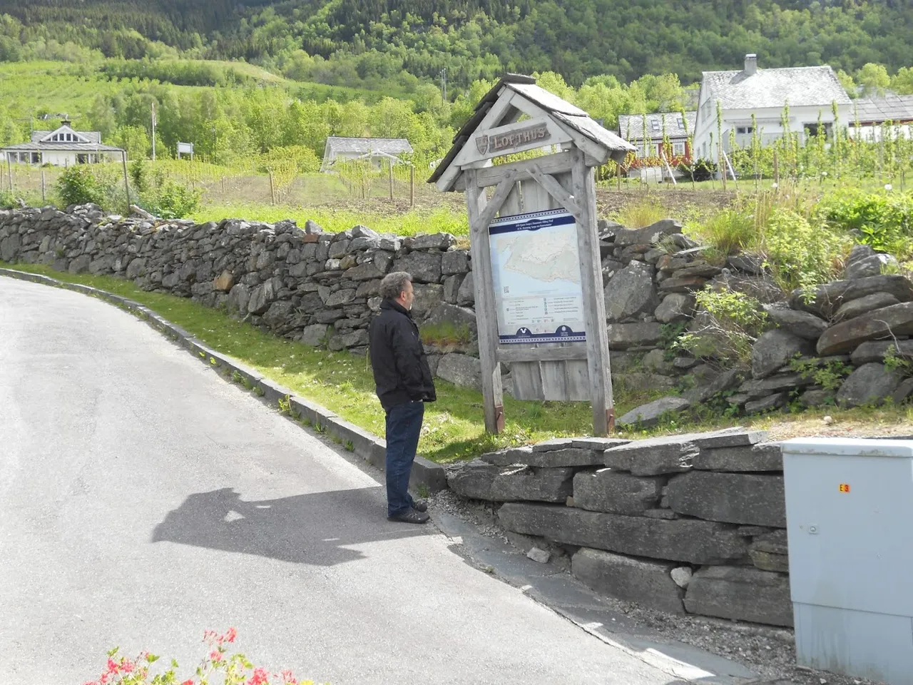
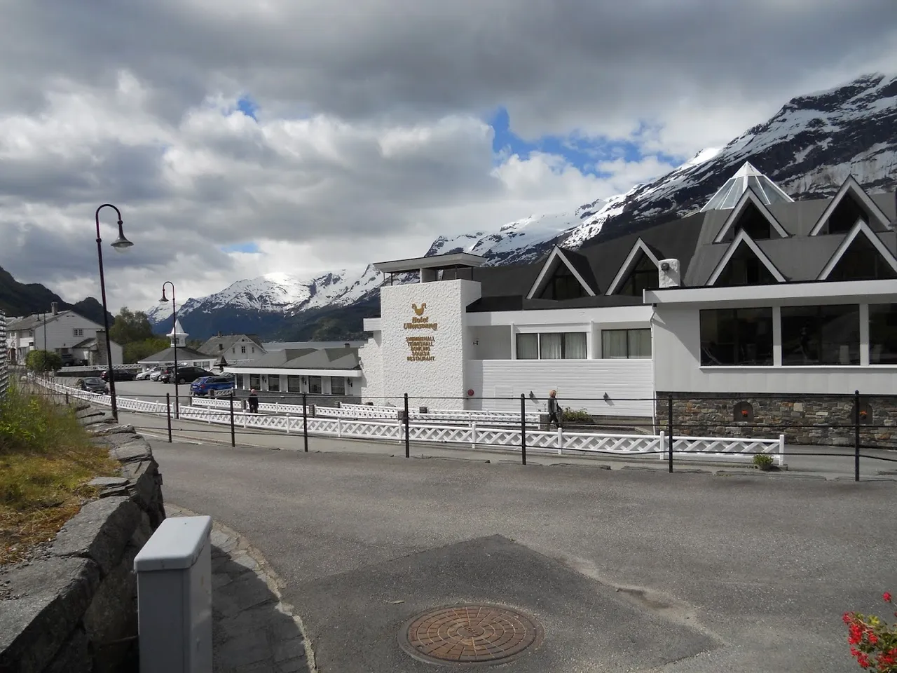
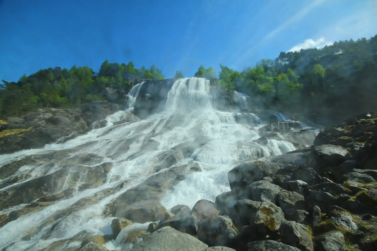
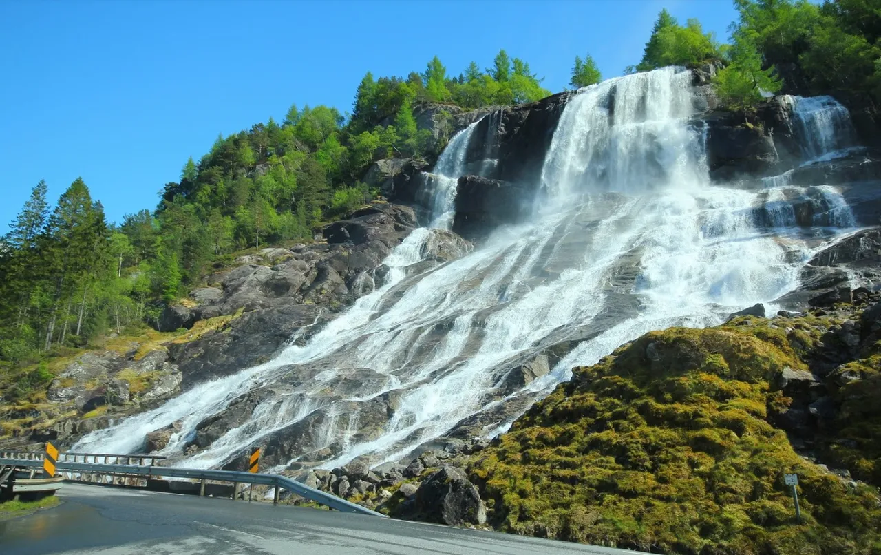
Co można robić będąc w Lofhtus? | What can you do while in Lofhtus?
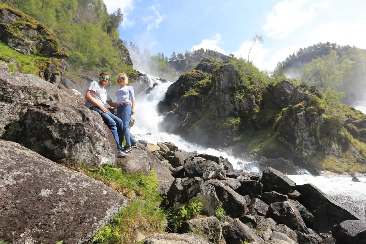
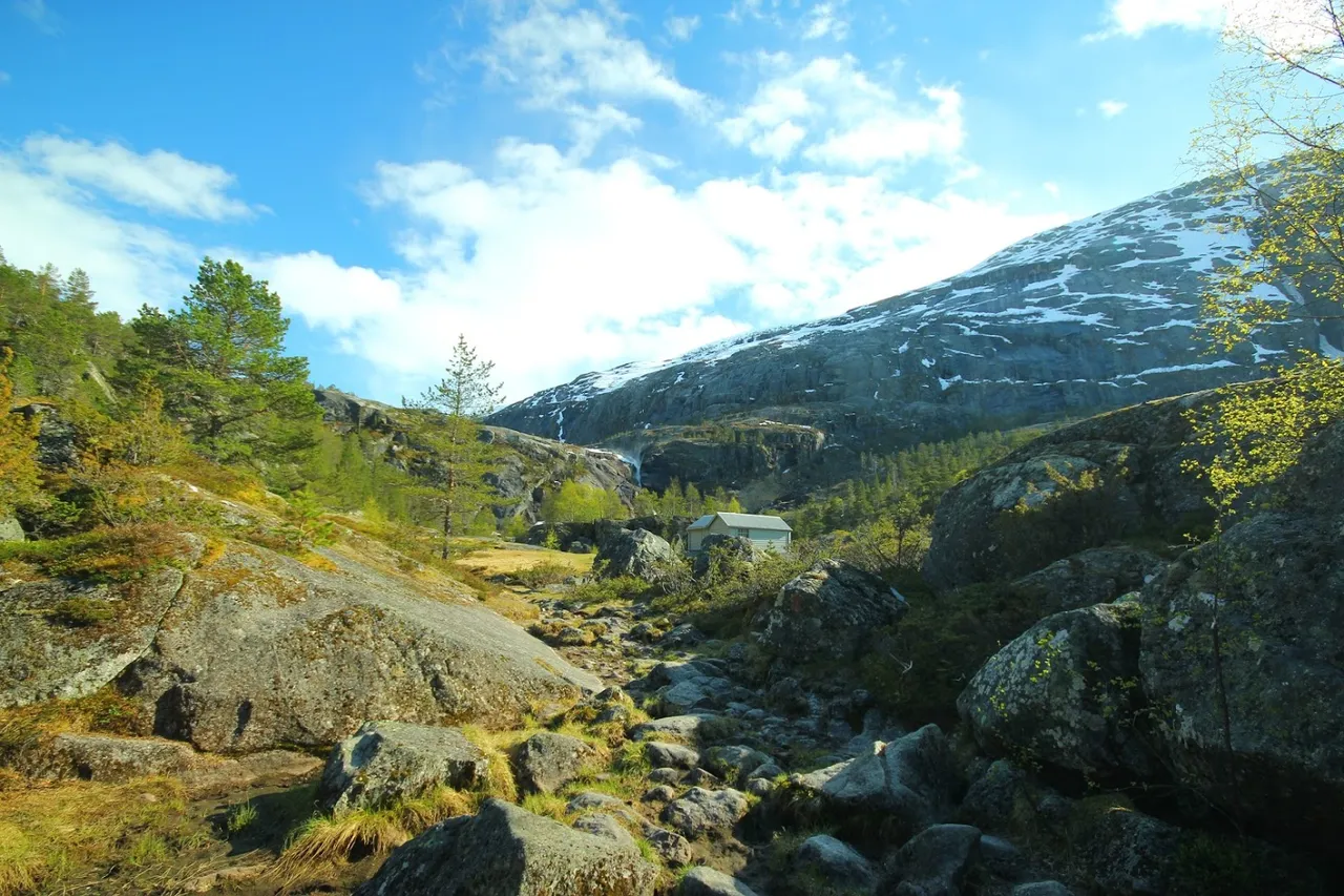
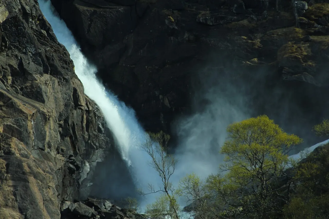
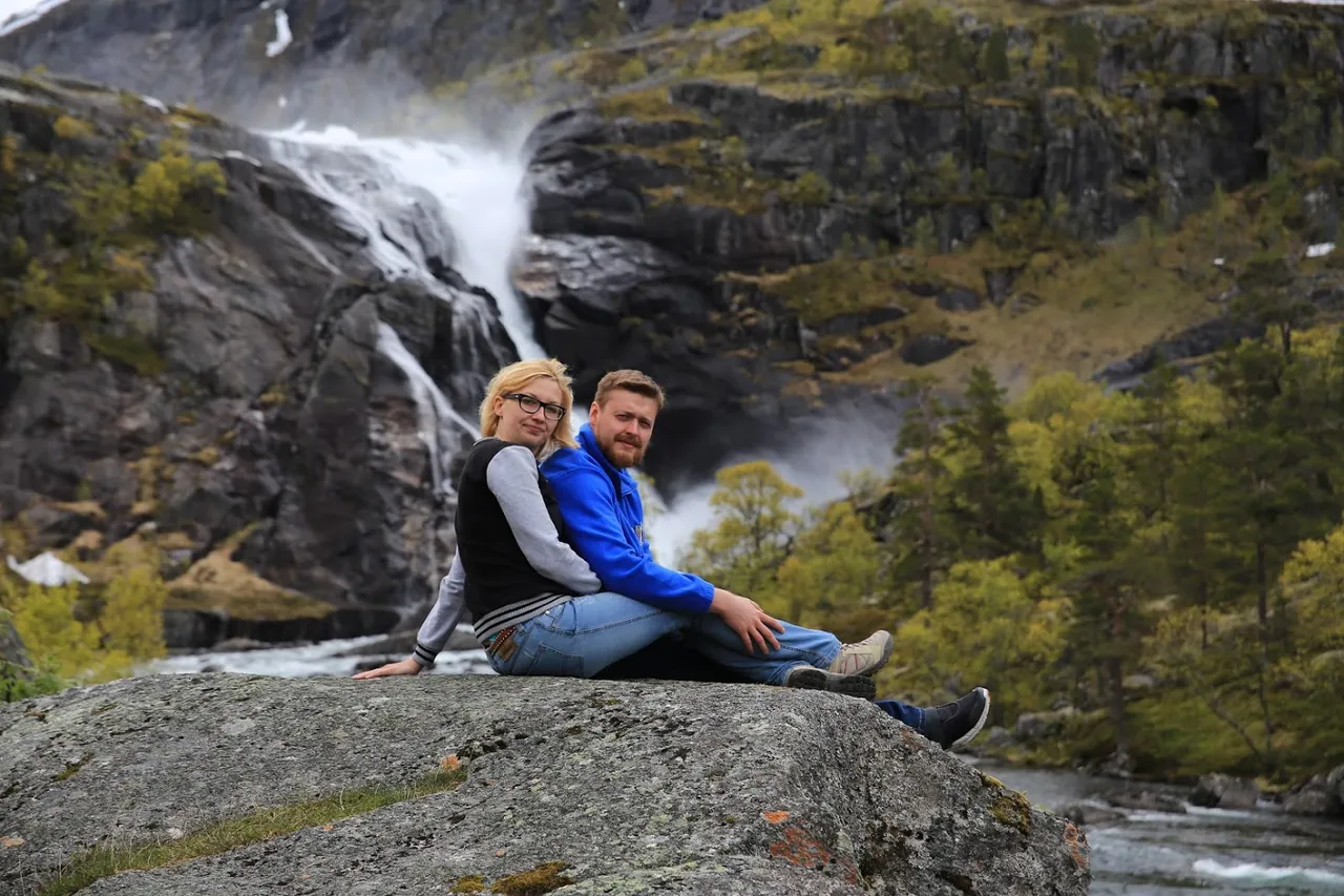
Ano, można na przykład odwiedzić pobliski wodospad. Doprawdy, nic takiego, zwykła sikawka - jakich w Norwegii bardzo wiele ;)
Well, you can, for example, visit a nearby waterfall. Just a water spray - VERY common in Norway ;)
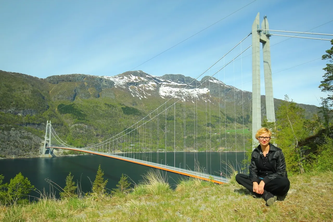
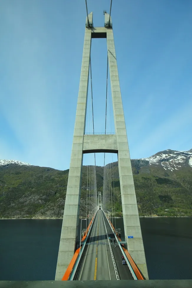
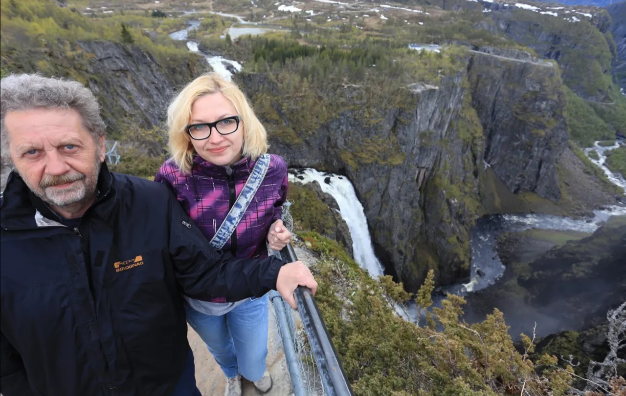
Można też skoczyć nad fajny mostek.
You can also take a look at a nice bridge.
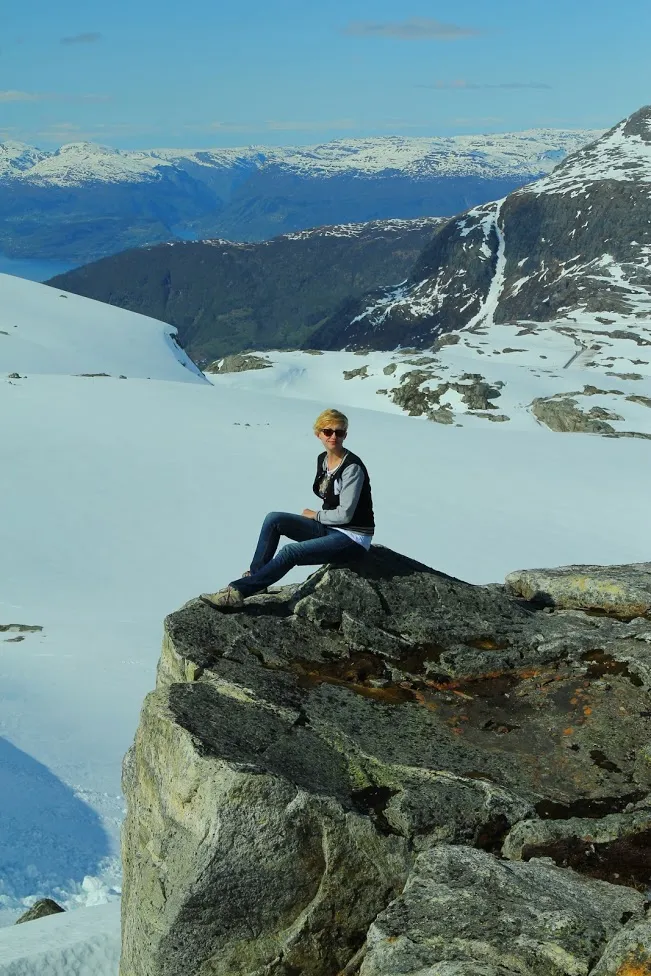
Można też wybrać się na punkt widokowy (uwaga, droga dla osób o mocnych nerwach...)
You can also go to the vantage point (note, road for people with strong nerves ...)
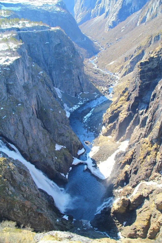
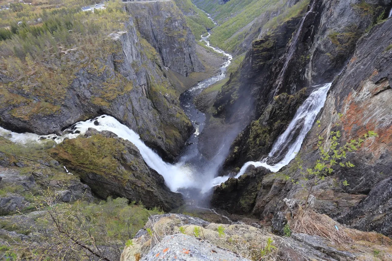
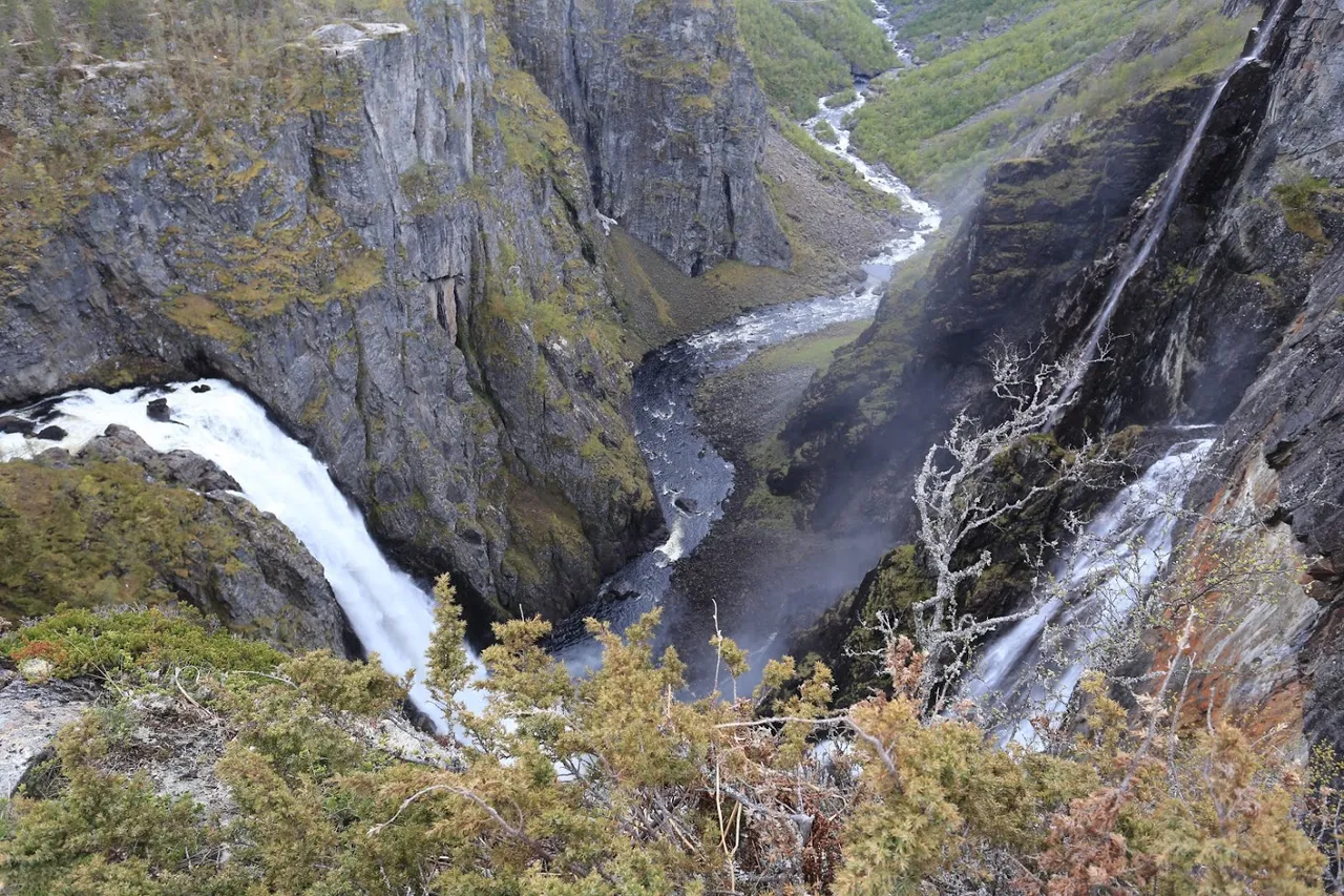
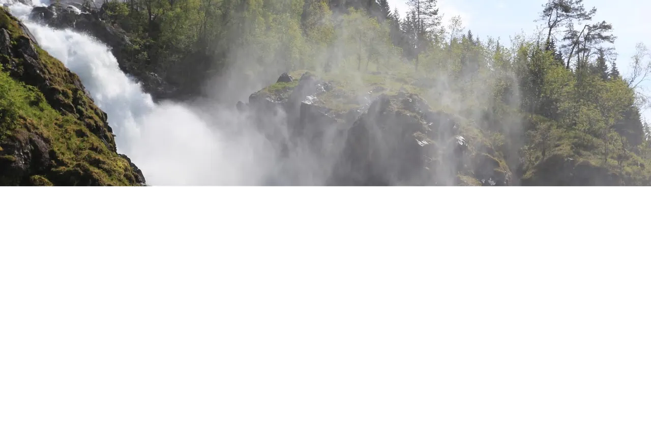
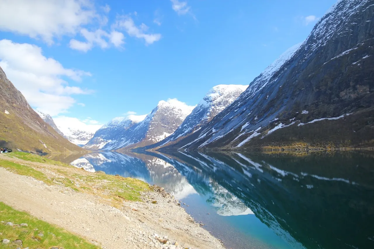
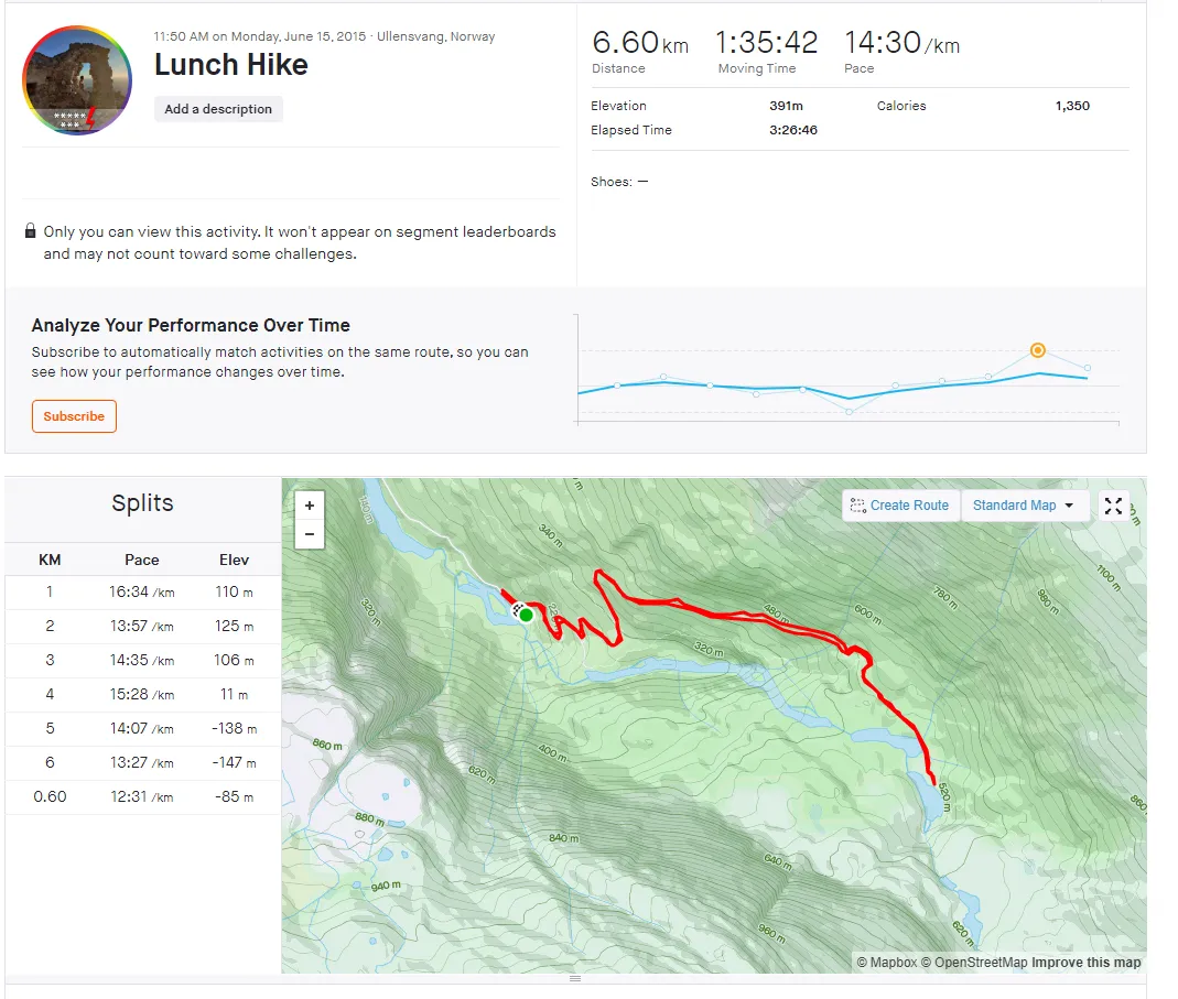
Koniecznym elementem jest też oczywiście trekking - np. taką trasą jak poniżej, z Ullensvang do - co za zdziwienie! - wodospadu :)
A necessary element is, of course, trekking - for example, along such a route as below, leading to - what a surprise! - waterfall :)
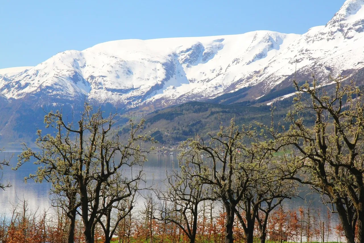
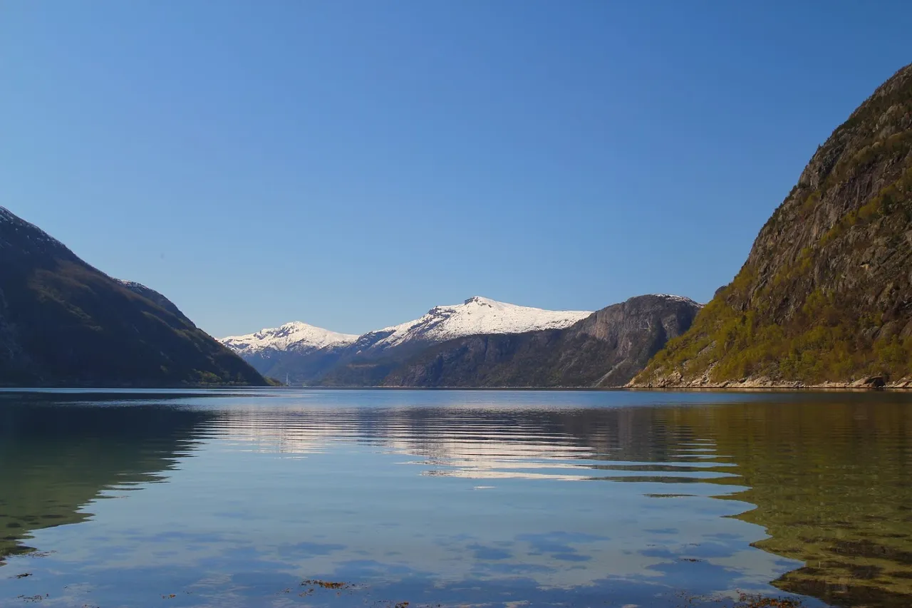
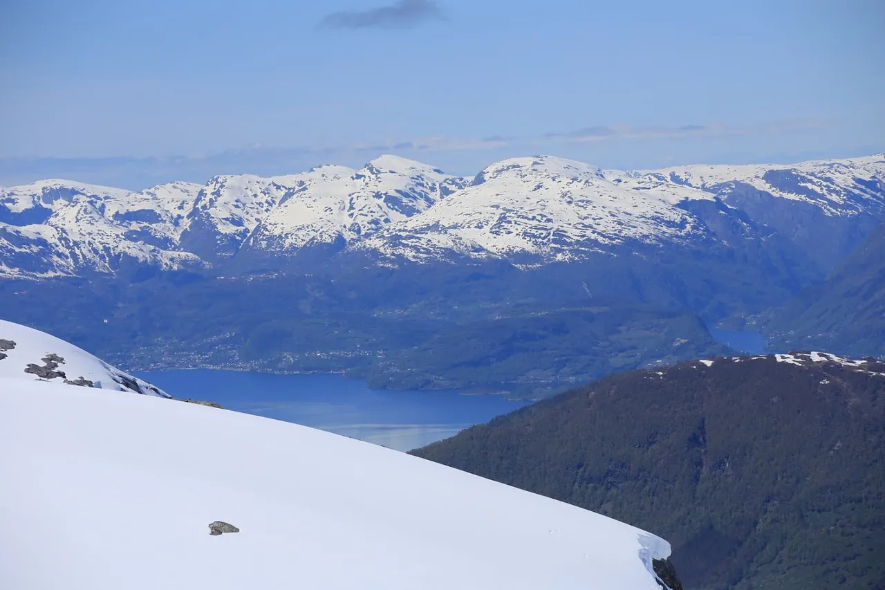
Lodowiec Folgefonna | Folgefonna Glacier
Powierzchnia lodowca Folgefonna wynosi 214 km², co daje mu trzecie miejsce pod względem wielkości (zaraz po Jostedalsbreen i Vestre Svartisen). Nie jest on pozostałością żadnego ze zlodowaceń. Po zakończeniu ostatniego zlodowacenia lód szybko się wycofał i cały się stopił. Dopiero 5000 lat temu, podczas okresu niskich temperatur i wysokich opadów utworzył się lodowiec.
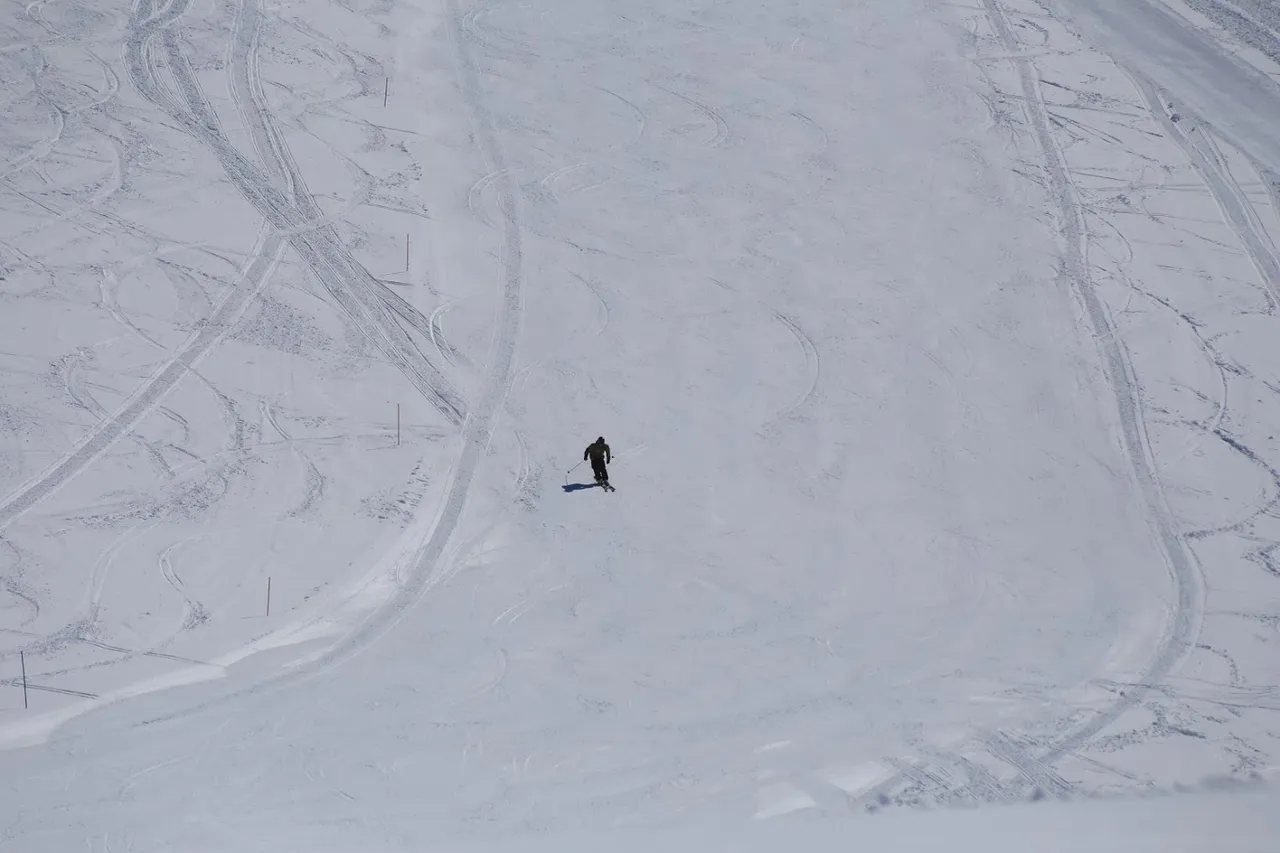
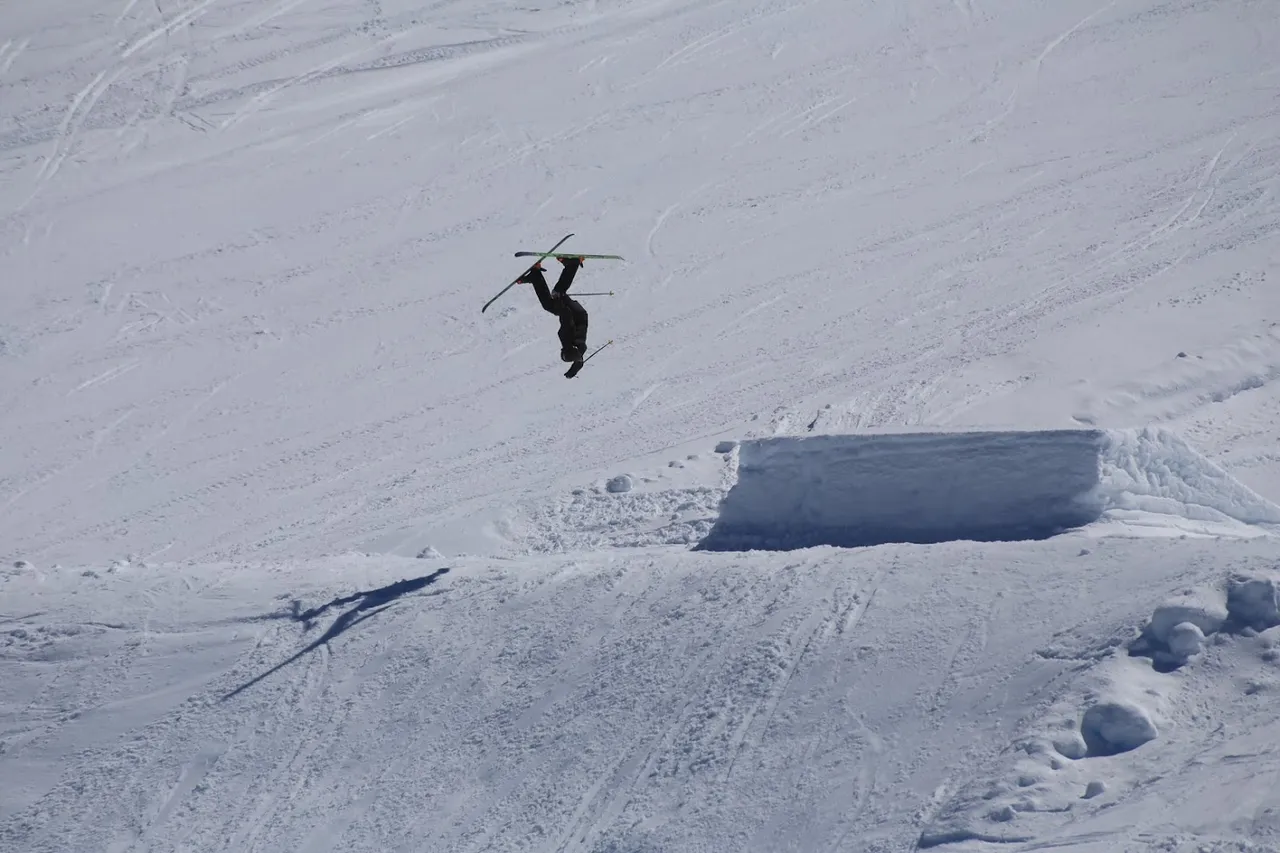
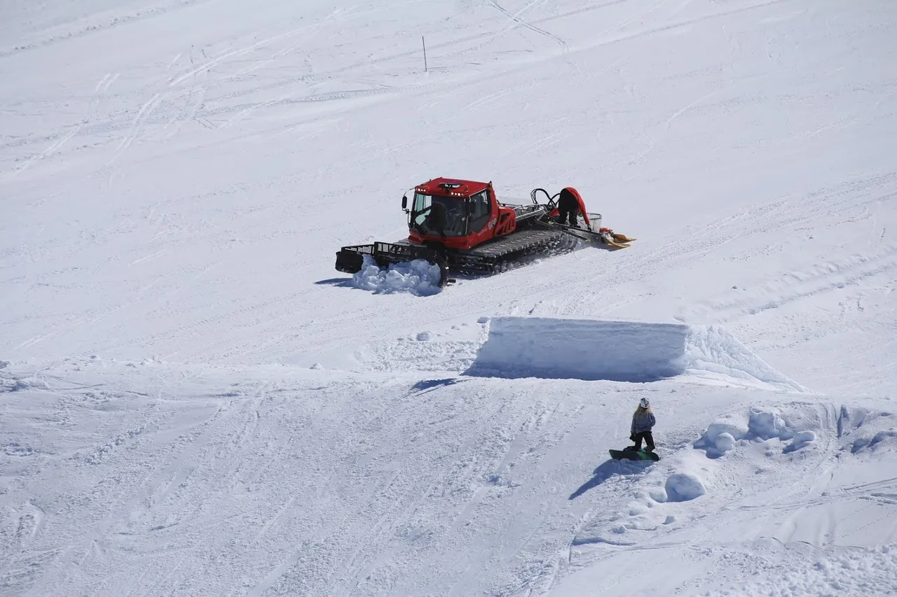
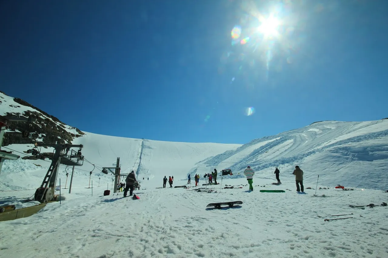
Atrakcją dla pasjonatów sportów zimowych jest Folgefonna Sommerskisenter, gdzie można sobie pojeździć na nartach czy snowboardzie, jeśli pogoda dopisze - w bardzo sympatycznej temperaturze.
The area of the Folgefonna glacier is 214 km², making it the third largest glacier (right after Jostedalsbreen and Vestre Svartisen). It is not a remnant of any ice age. After the end of the last ice age, the ice quickly retreated and melted all over. Only 5,000 years ago, during a period of low temperatures and high rainfall, a glacier was formed.
An attraction for winter sports enthusiasts is the Folgefonna Sommerskisenter, where you can go skiing or snowboarding, if the weather is fine - in very pleasant temperature.
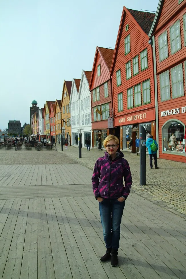
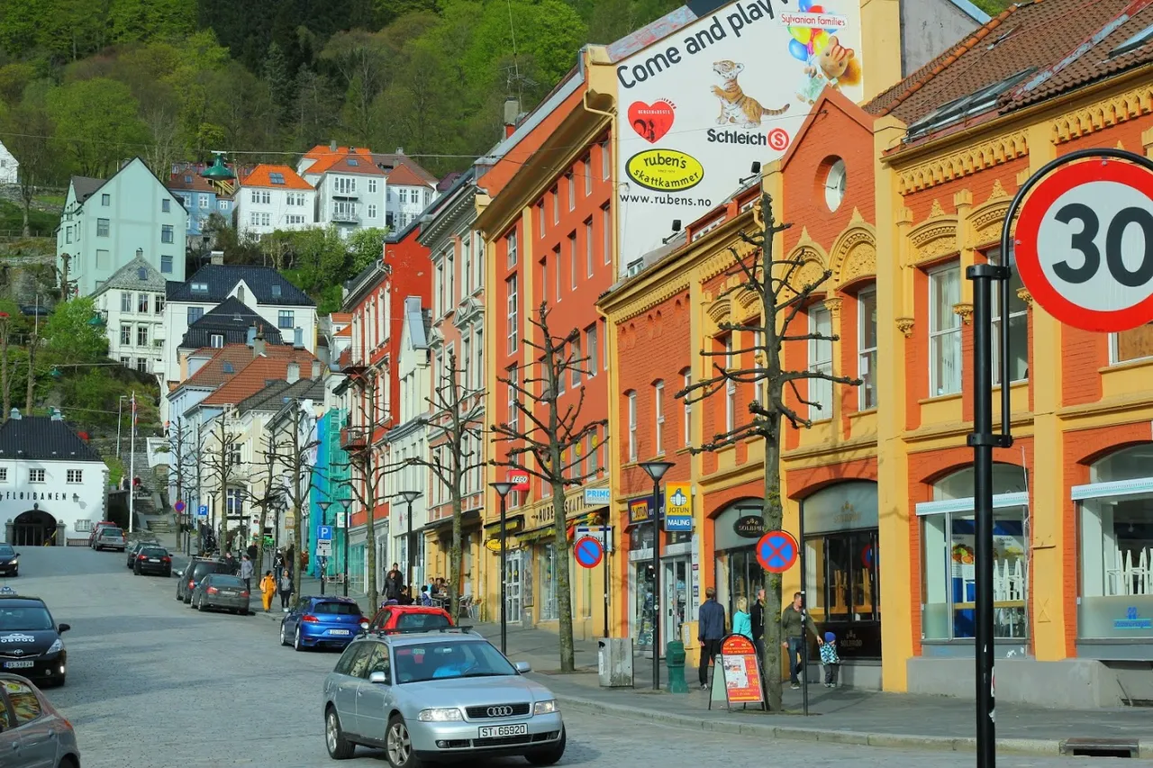
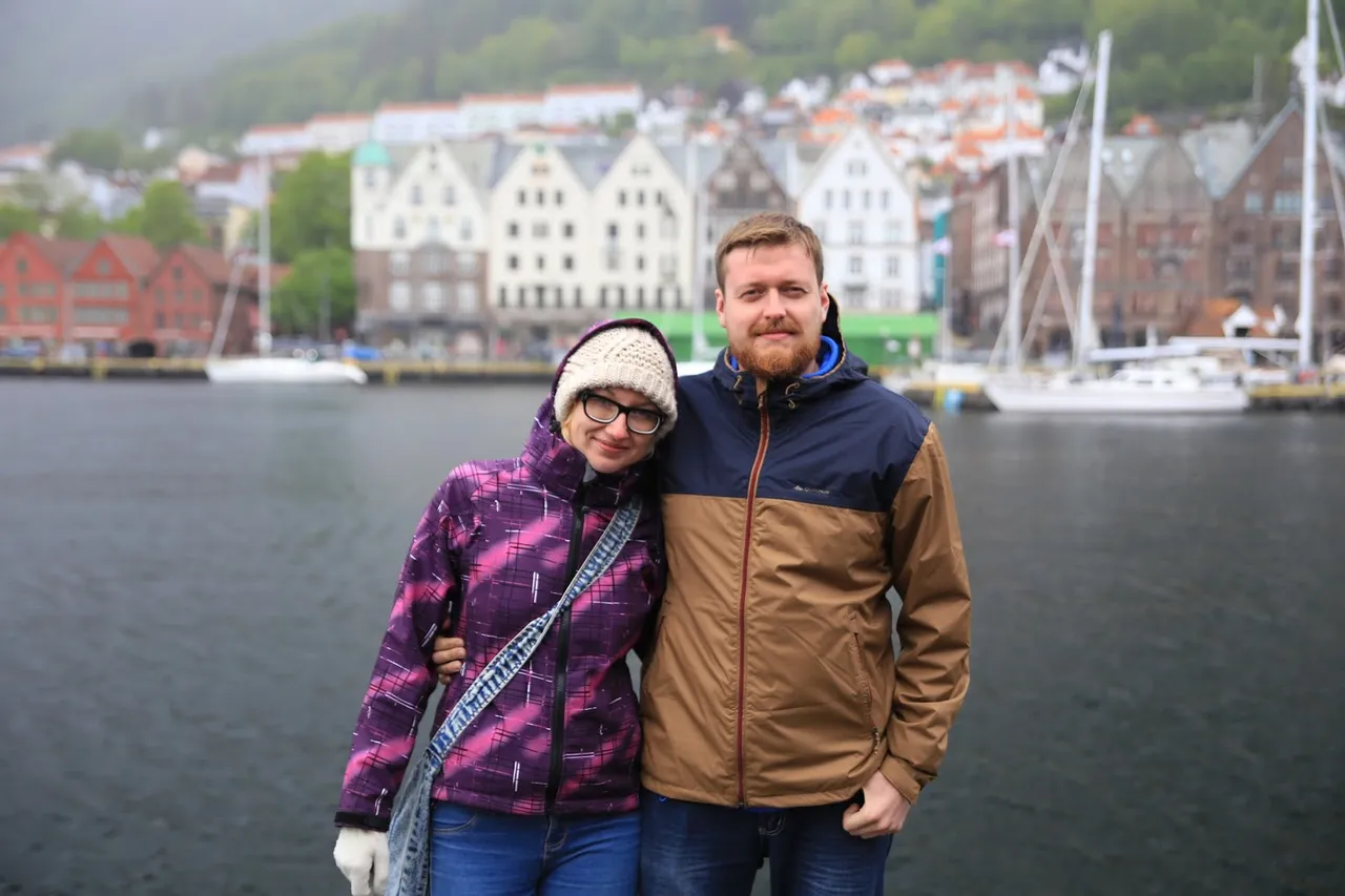
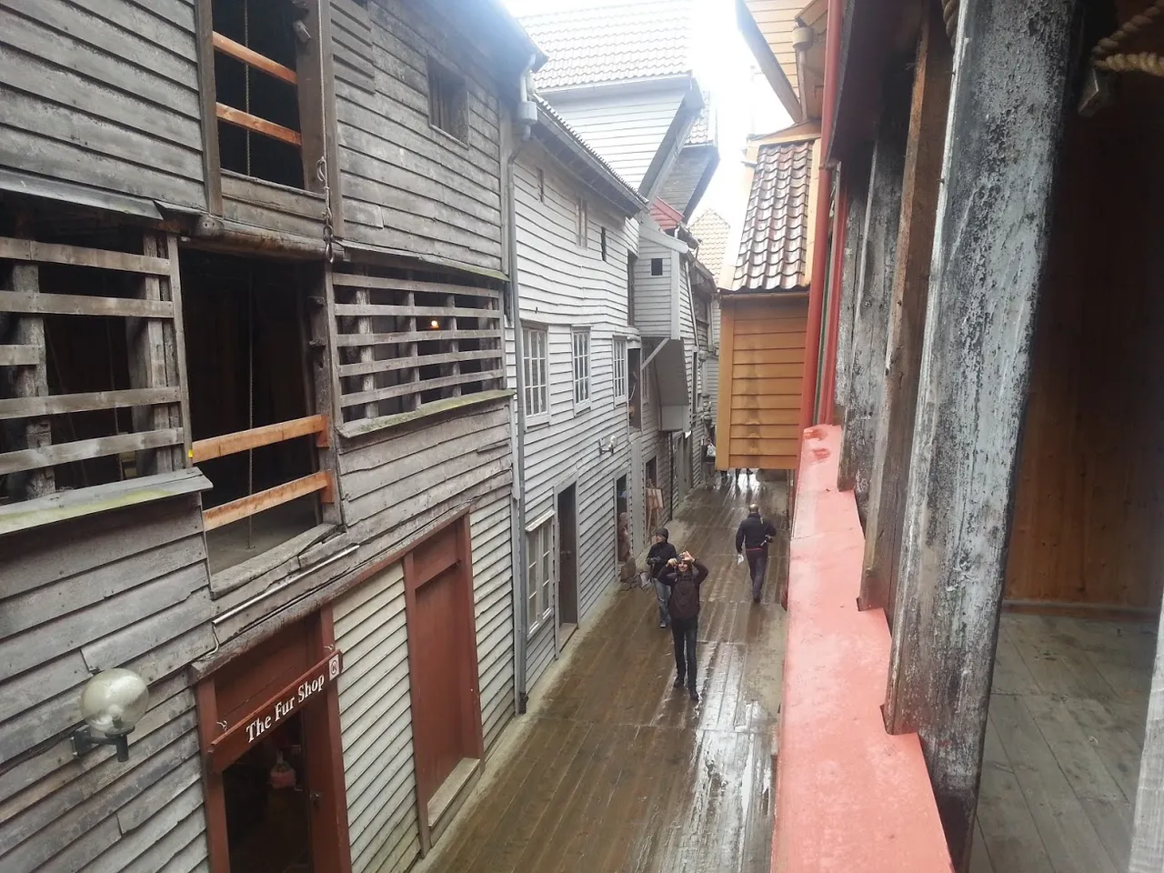
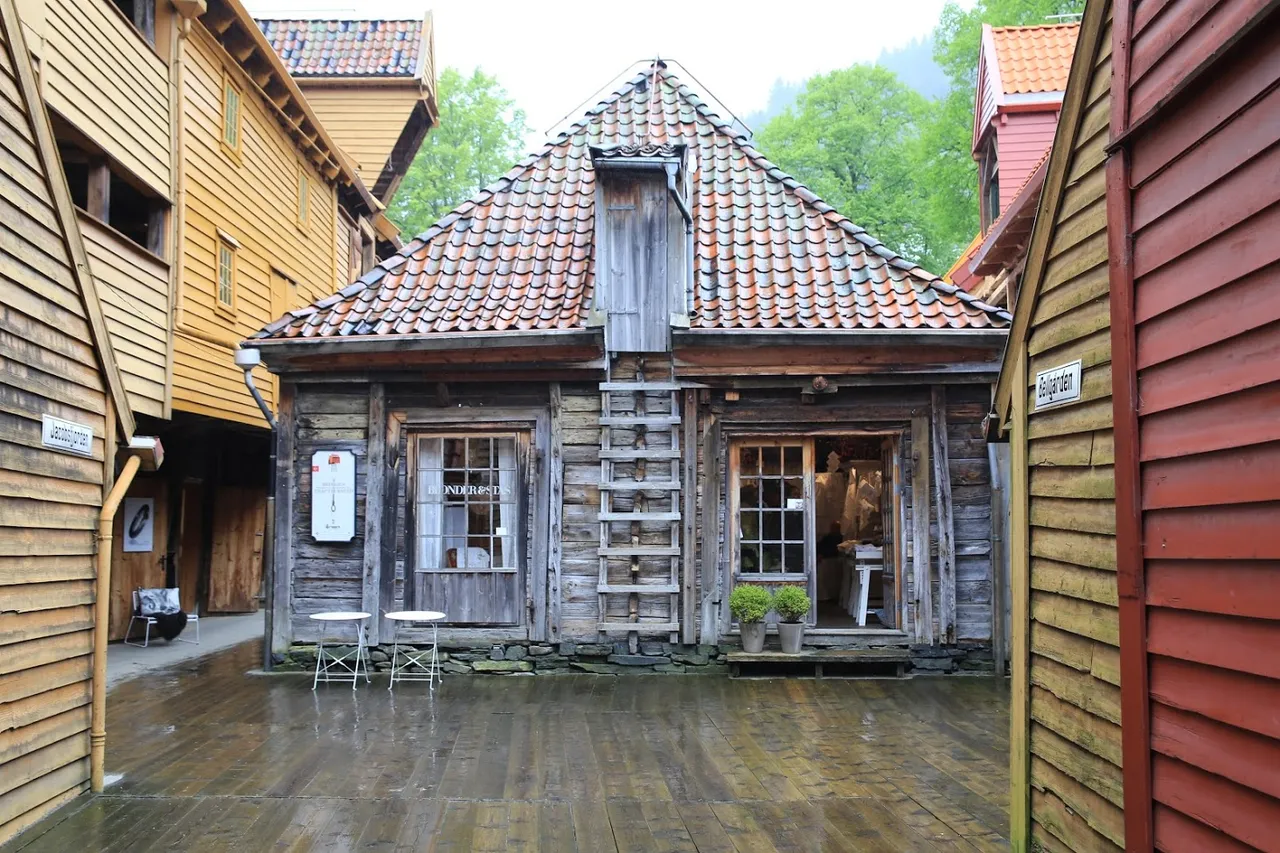
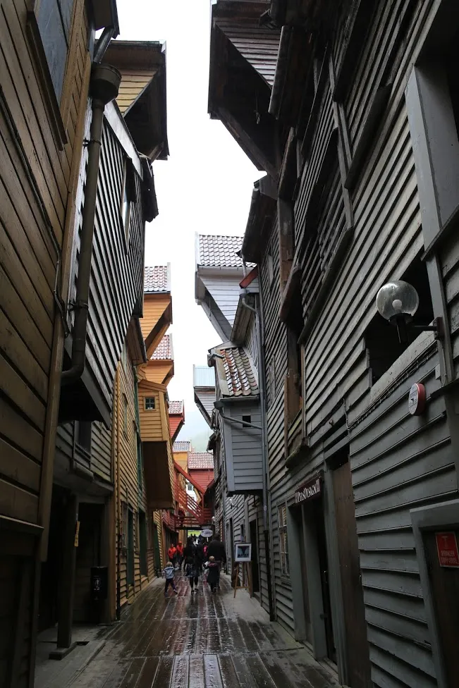
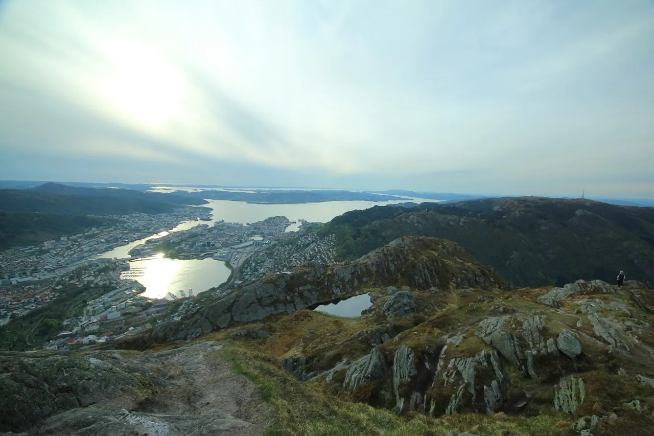
Bergen
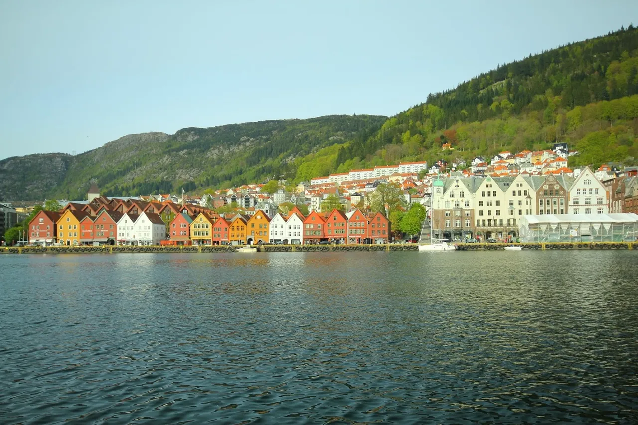
I wreszcie - Bergen. Najbardziej deszczowe miasto Europy. Według portalu twojapogoda.pl rocznie spada tam średnio 2250 mm wody. Pod koniec 2006 roku deszcz padał w Bergen przez 60 dni pod rząd, a lipiec 2016 roku był najbardziej mokrym w historii. Według tv2 w Bergen pada 242 dni w roku. Ja miałam to szczęście, że udało mi się zwiedzić to miasto zarówno w dzień deszczowy, aby poznać jego naturalną atmosferę, jak i w bardzo słoneczną piękną pogodę.
And finally - Bergen. The rainiest city in Europe. According to the twojapogoda.pl, an average of 2,250 mm of water drops annually there. At the end of 2006, it rained in Bergen for 60 consecutive days, and July 2016 was the wettest ever. According to tv2, it rains 242 days a year in Bergen. I was lucky enough to be able to visit this city both on a rainy day to get to know its natural atmosphere and in very sunny, beautiful weather.
Bergen jest drugim co do wielkości miastem kraju, liczy 265 300 mieszkańców. Nazywane jest bramą do fiordów i znajduje się na liście światowego dziedzictwa UNESCO.
Bergen is the second largest city in the country, with a population of 265,300. It is called the gate to the fjords and is placed on the UNESCO World Heritage List.
Taka pogoda w maju 2014...
Such weather in May 2014 ...
...i w czerwcu 2015
... and in June 2015
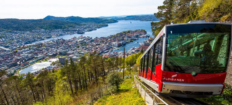
Ważną atrakcją miasta jest również kolej linowo-terenowa – Fløibanen, łącząca miasto ze szczytem góry Fløyen.
An important attraction of the city is also the funicular railway - Fløibanen, connecting the city with the top of Mount Fløyen.
No dobrze, na dziś to tyle. Do pozostałych norweskich miejsc z mojej listy jeszcze wrócę :)
Okay, that's it for today. To the other Norwegian places on my list I will come back soon :)