Caracas, capital of Venezuela, is one of the cities with few tourist attractions, that's what many of us say. We also say that Caracas is one of the most neglected cities in our country. Its streets, always full of garbage, spoil many of its corners.
Among the tourist attractions here we have: parks, museums, squares, shopping malls and of course, our majestic Waraira Repano known as El Cerro Ávila.
Undoubtedly the gigantic Cerro Avila is the most desired and visited by the people of Caracas. While some go up by car or cable car, others prefer to walk up to enjoy the natural wonders present in this place.
Cerro Avila has several edges where you can reach different points with vegetation, flora, fauna and streams, but for safety reasons routes are sought where there is more traffic of people and to avoid dangers.
Surely this publication will be seen by many Venezuelans, to them I ask specifically: Do you know all the borders where we can climb the Ávila? Well, I don't know them.
I don't know all of them but I set out to know them. Today I bring you in this publication an area called Camino de los Españoles.
As many mention, there are literally "ugly" places, and this is one of them. Even so, I am going to share with you the most interesting part of this trip.
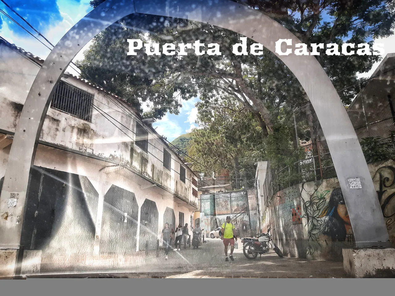
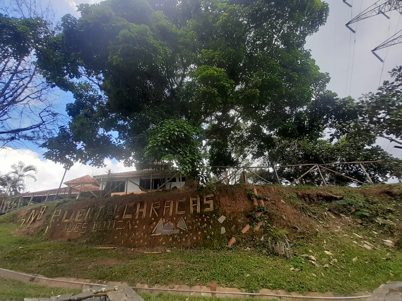
I started the road with my husband, by car. This road was totally unknown to us. We took the road through La Pastora and there we arrived at a place called Puerta de Caracas identified with an unattractive arch. The place looks deteriorated, taking out the phone to take some pictures generated some fear in us. We looked for a place to park the car and from there start the tour.
The road is paved, there are many houses built from side to side. The narrow streets allow the passage of only one vehicle, usually rustic cars, and the narrow sidewalks are used by pedestrians and hikers.
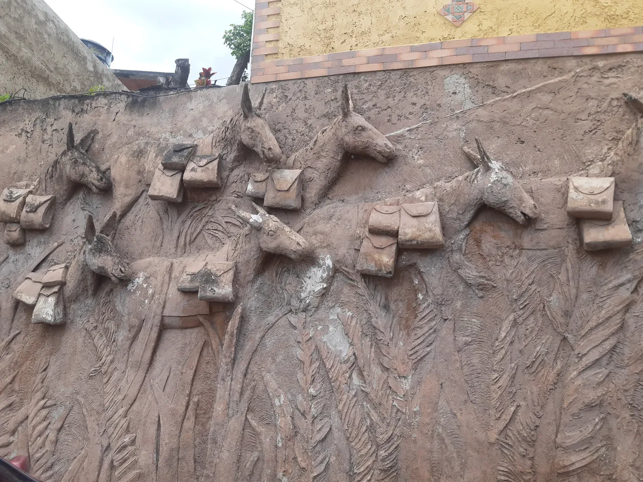
The climb is quite steep, I figured that if I had continued through the mountains I would surely feel the coolness of the surroundings even more. During the walk I stopped several times, many things caught my attention, for example this relief of horses and donkeys with briefcases around their necks.
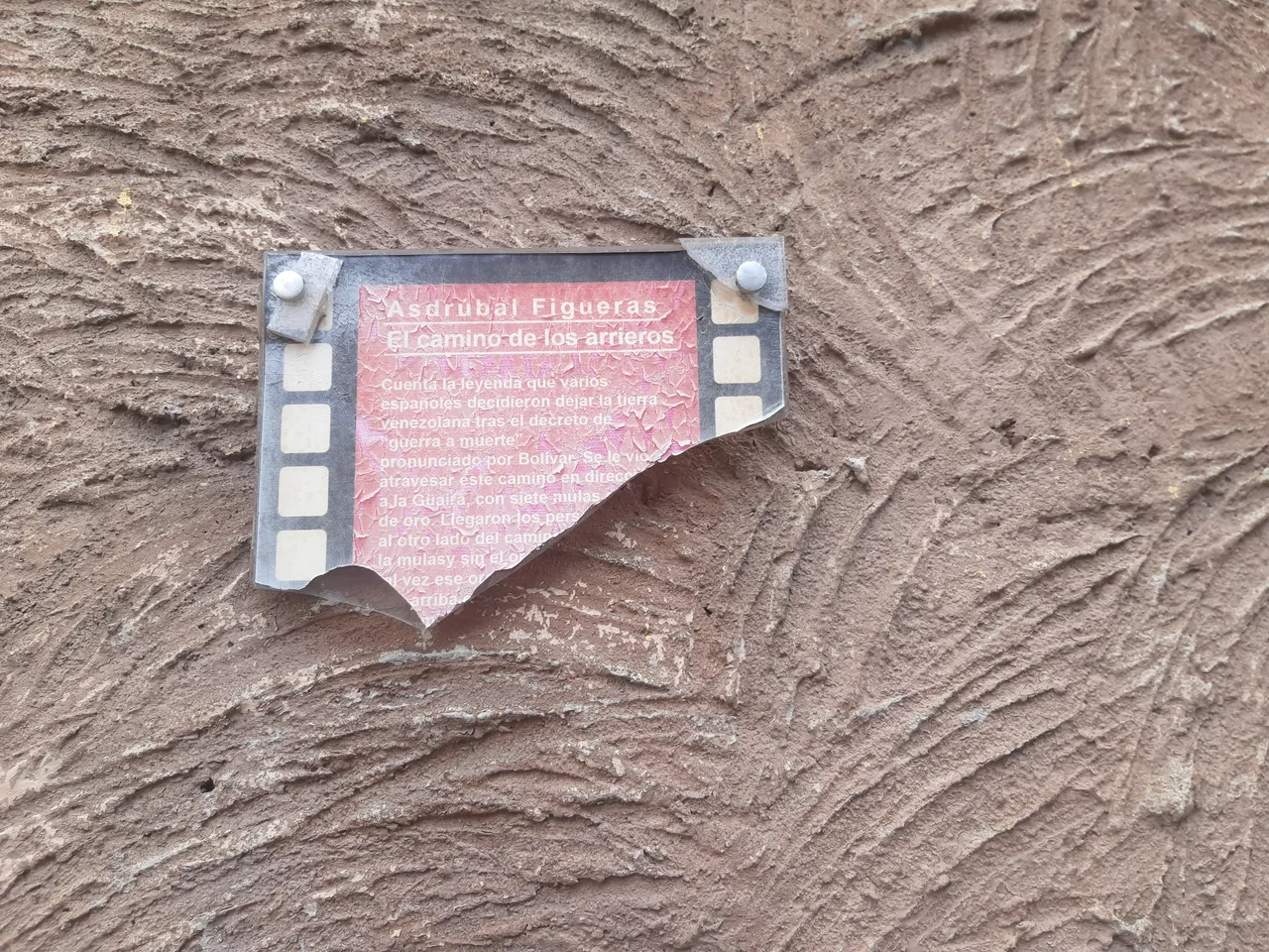
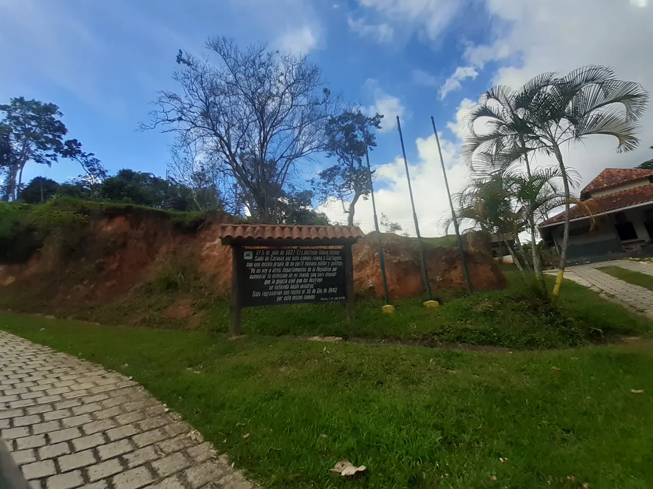
On one side there is a deteriorated plaque on which I could read its legend. In this other photograph I show the reading. The monument identifies the road of the muleteers who emigrated from Venezuela after the decree of War to Death pronounced by Simón Bolívar. The road led to the present State of La Guaira.
I talked to a local inhabitant and he told me that the road we were on would take us to Catia la Mar. Obviously it is many kilometers away, I liked the idea of getting there but, I didn't think it was the day for it. The good thing about the information is that the road to La Guaira, after so many years, is still there.
We followed the route with great expectation, this first relief on the wall and its legend made us understand why the route is called Camino de los Españoles.
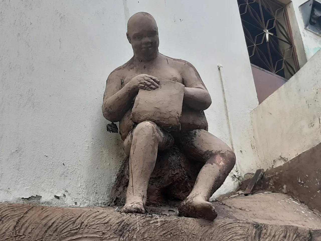
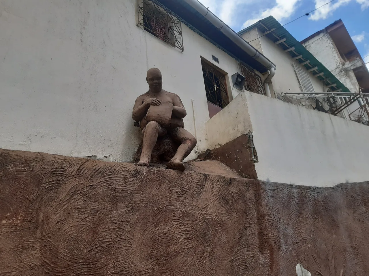
Very close to the mural Caminos de los Arrieros we observed another clay sculpture. It is the image of a fat, smiling man looking like an artisan. The sculpture is located in front of a house. It is noticeable that it has many years there, the material is deteriorated in some parts but in general it is kept in good condition.
I have no idea if this monument is related to the Camino del Arriero, however, it is built with the same material as the previous one.
Murals and Drawings Dress the Spanish Trail
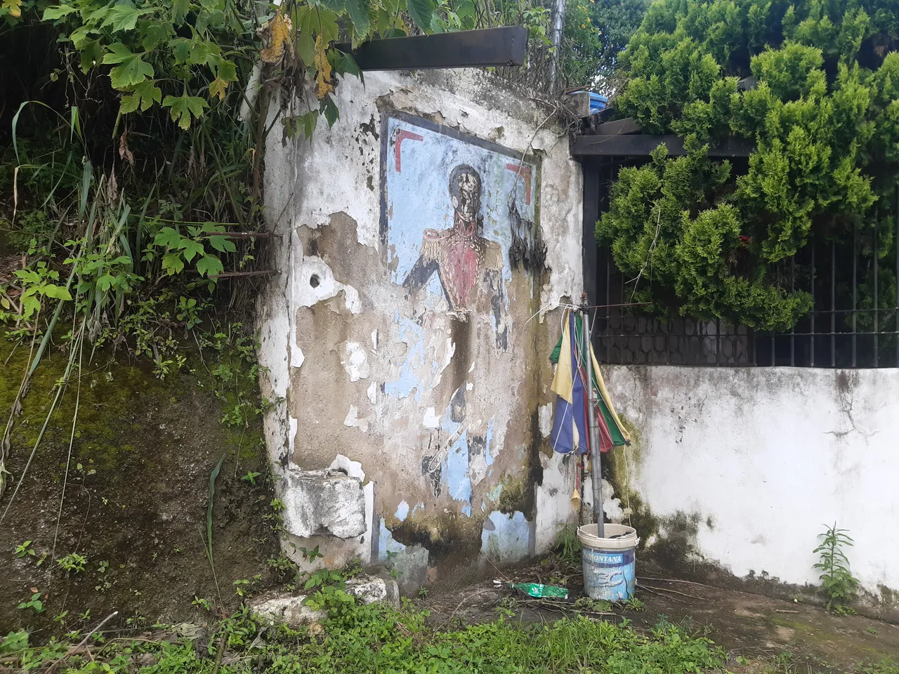
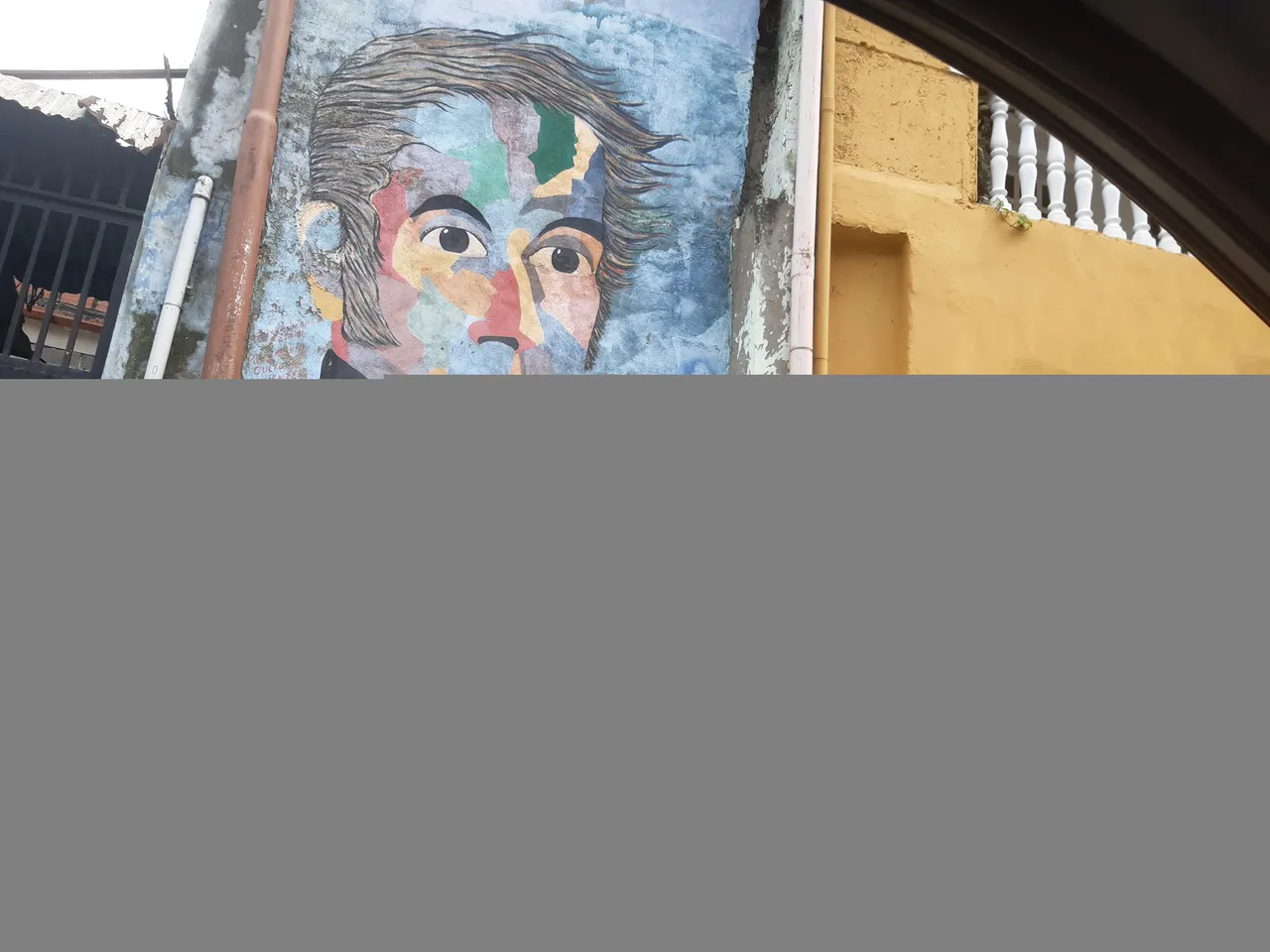
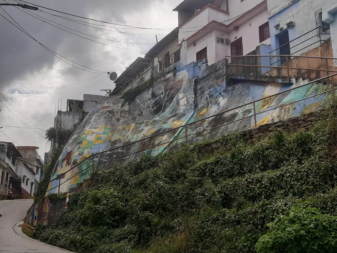
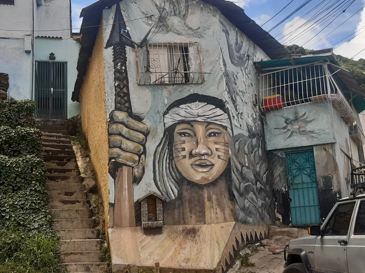
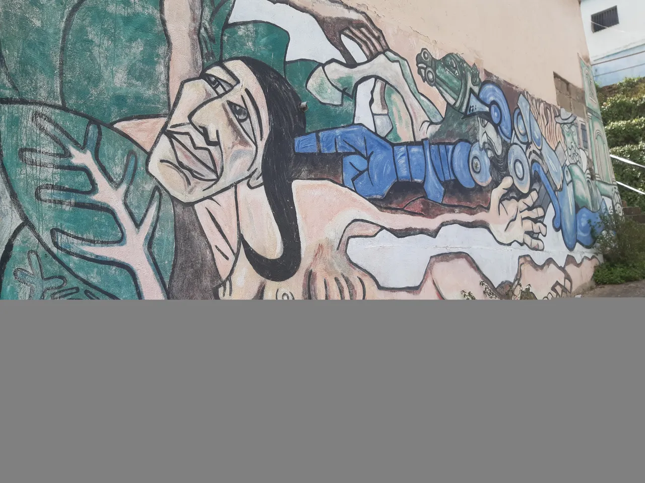
Curious fact was to see a large number of murals alluding to the Spanish. The Indians, the Liberator, among others. The most curious thing is that the residents keep the history intact. There are modern houses with drawings, murals or sculptures that point the way of the Spaniards.
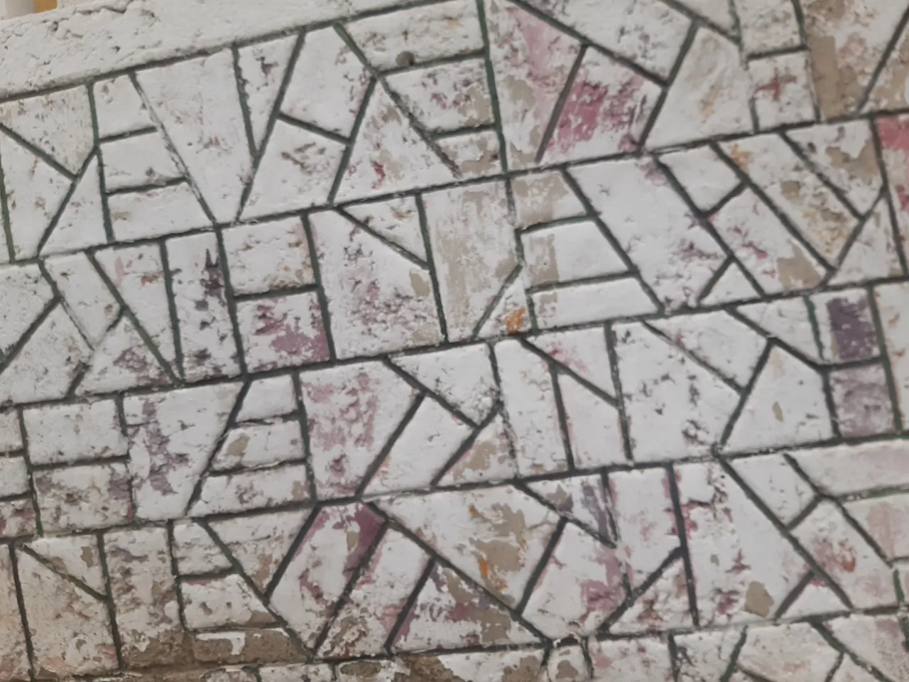
The more we walked, the more we were surprised by the designs. Before my eyes appeared old stained glass windows on the facades of the houses, materials that today are practically extinct. It is impressive how the inhabitants honor the name of the neighborhood or the road that leads to Waraira Repano.
The path of the Spaniards was still interesting, but so far there were only a few relics of antiquity. We kept moving forward, black clouds threatened to change the day. We picked up the pace and I promised to stop only on the way back.
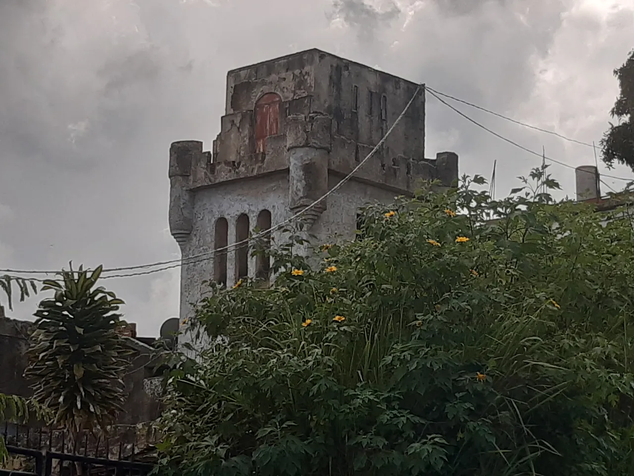
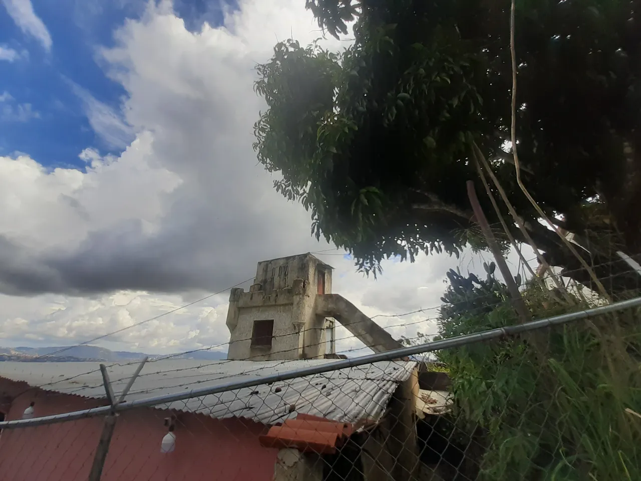
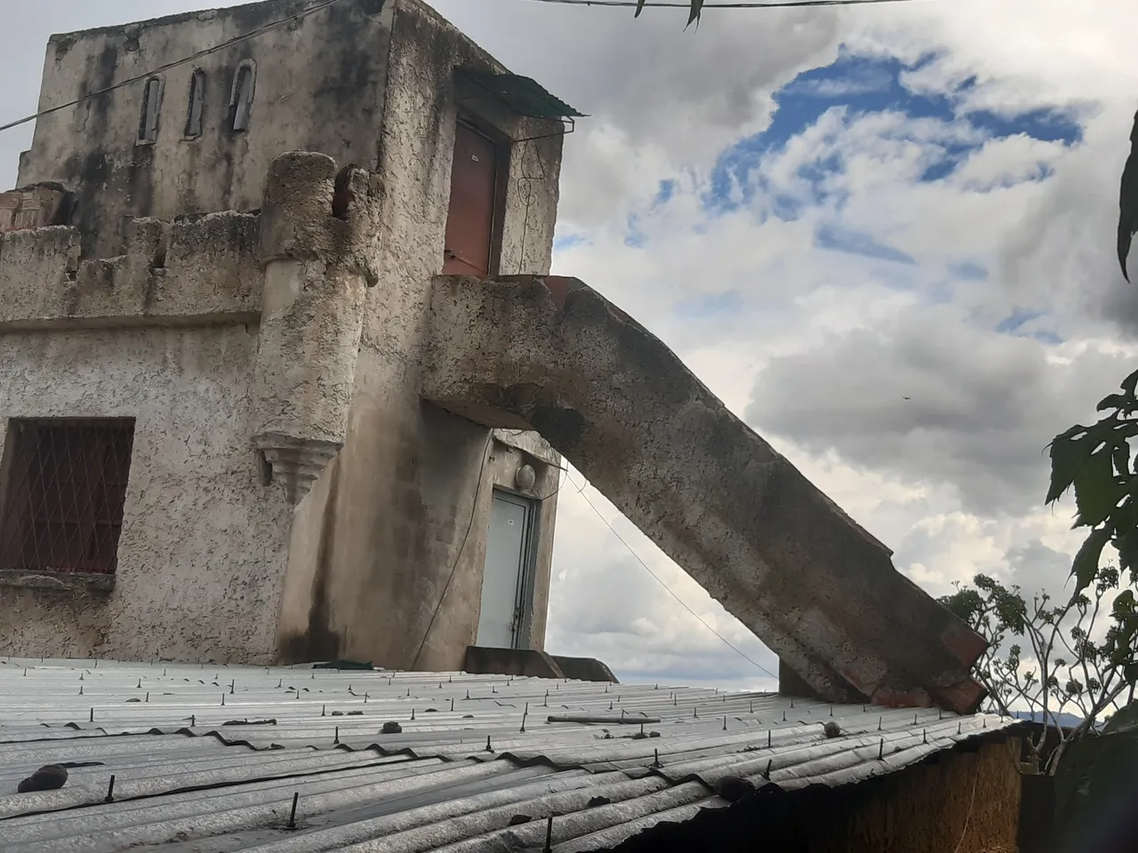
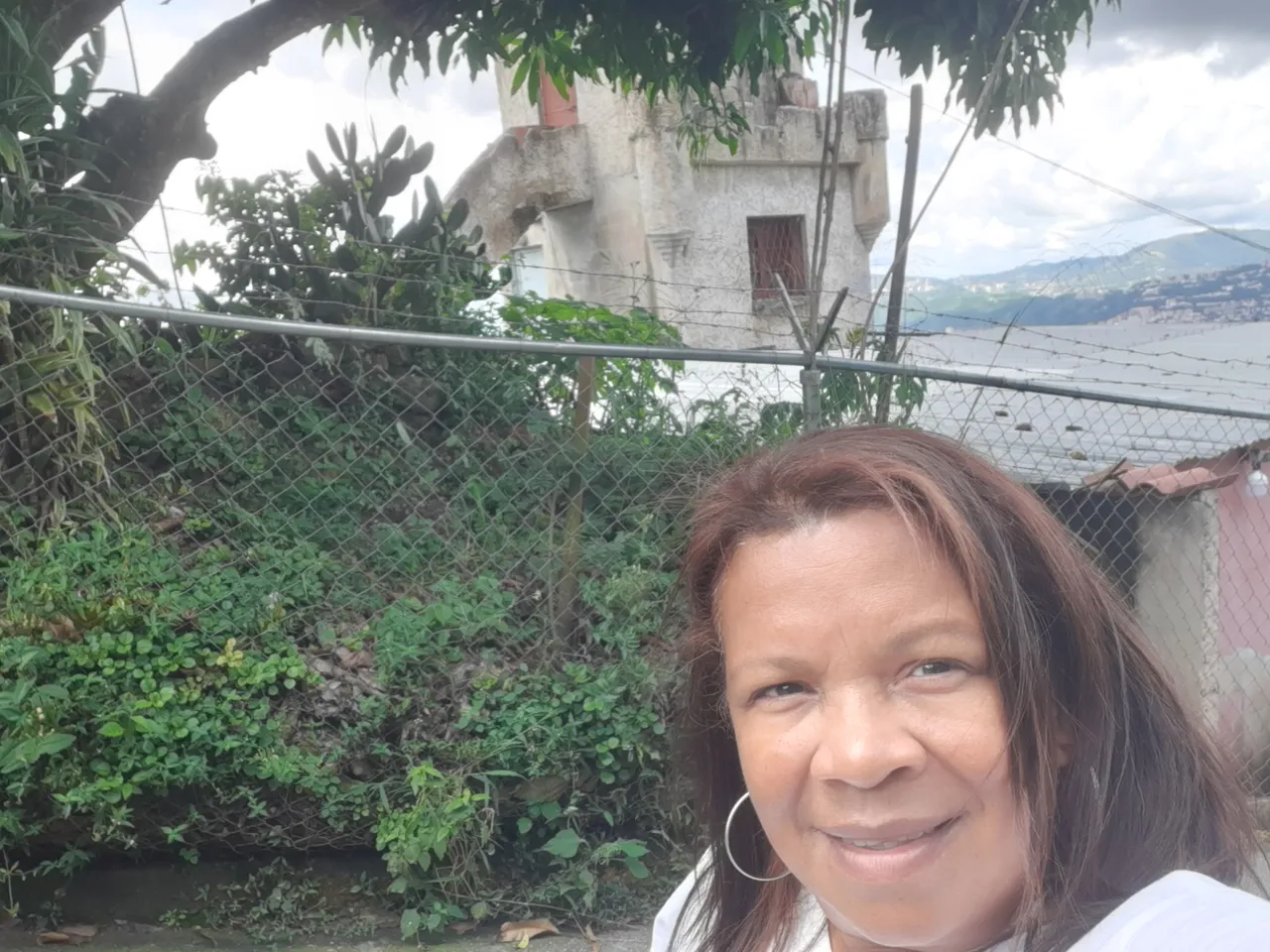
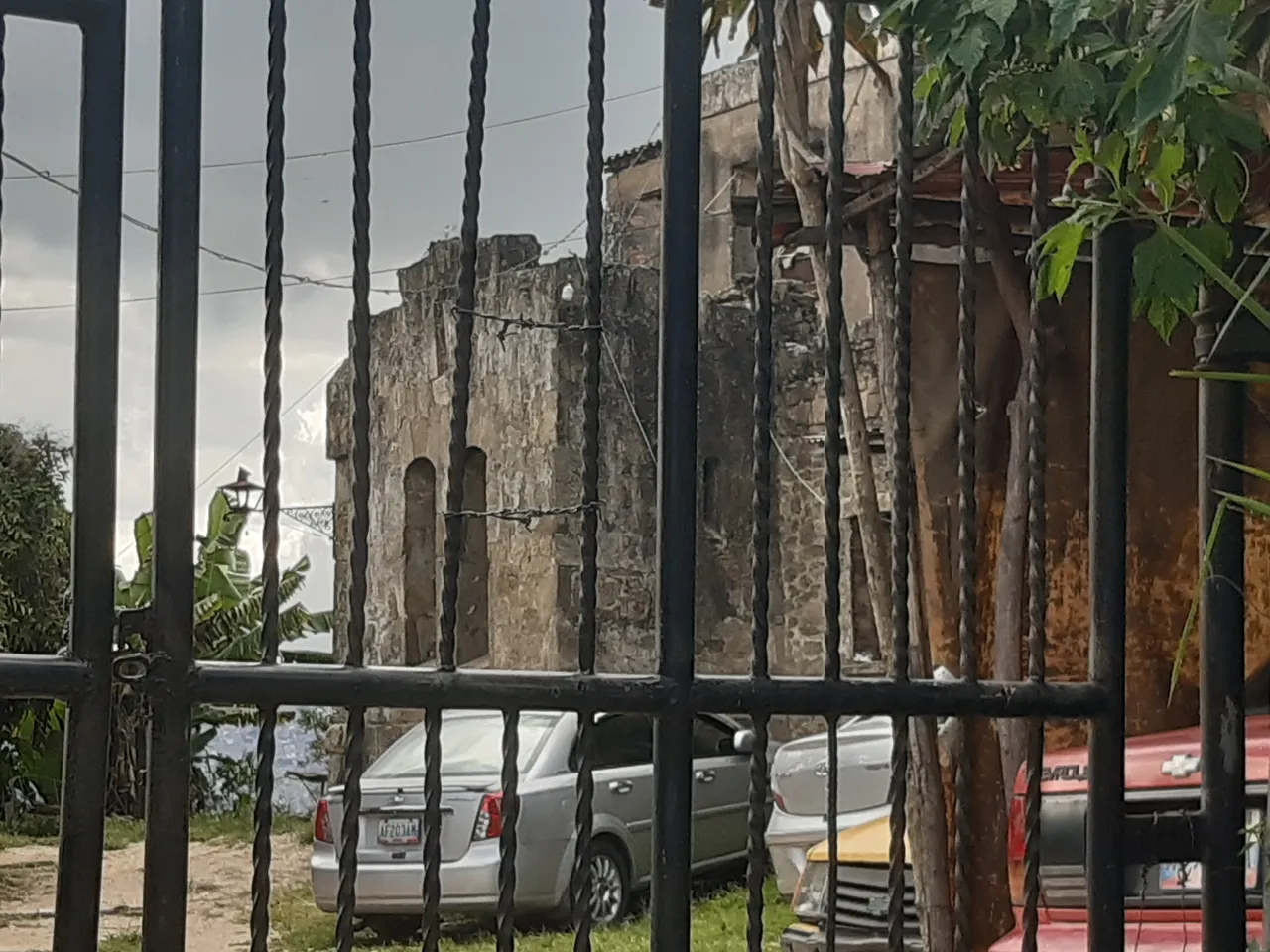
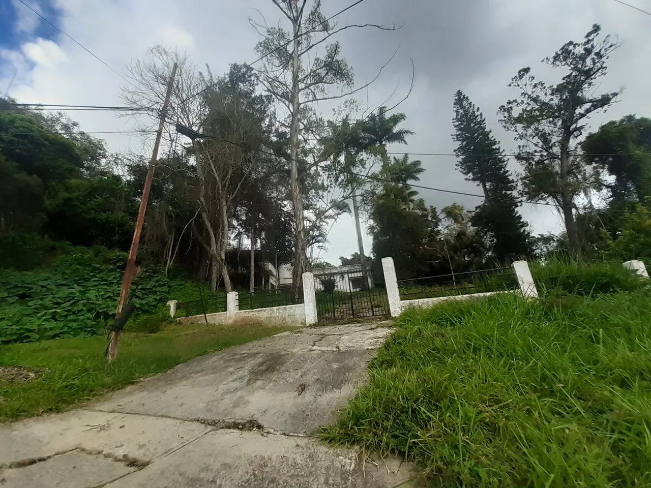
But how could we not stop to contemplate every detail? A kind of tower becomes visible this time. Obviously, it was an ancient structure. I was told it was a castle inhabited by Spanish painters. Today it is a ruin, as only a part of it remains.
Behind the fence I could see a house and a lot with several parked cars.
Now it is!!!
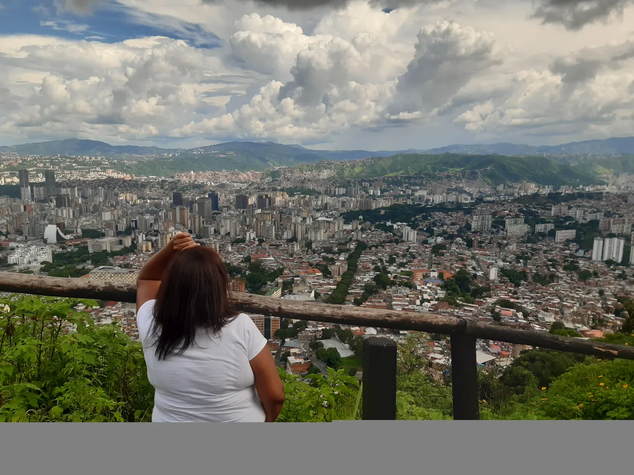
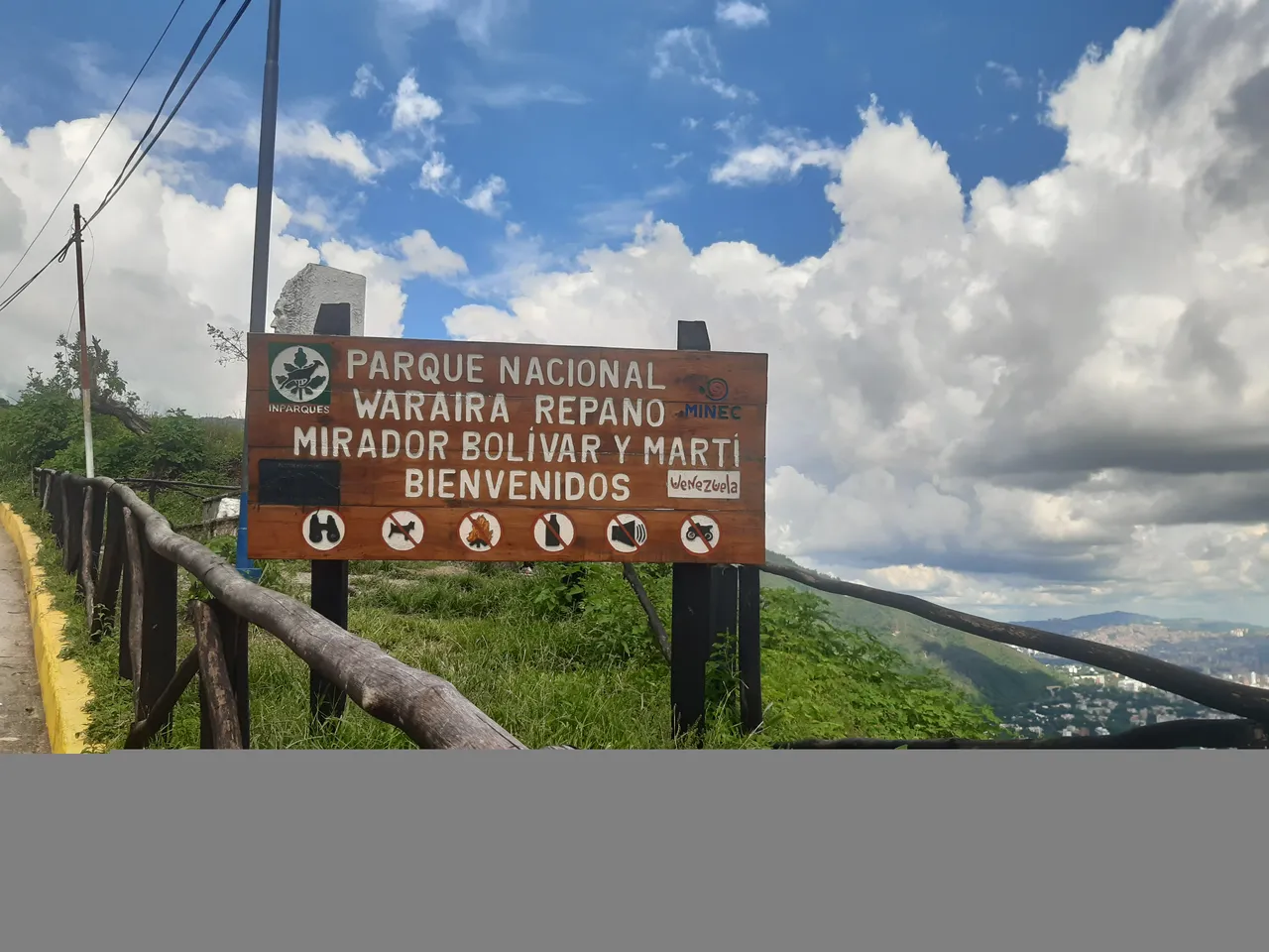
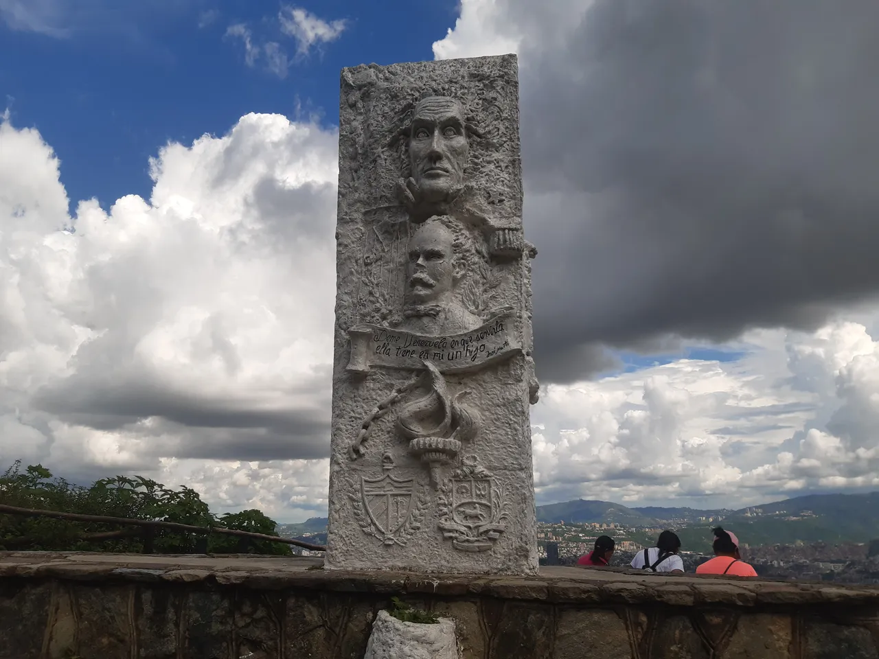
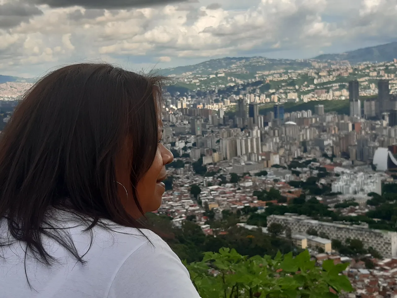
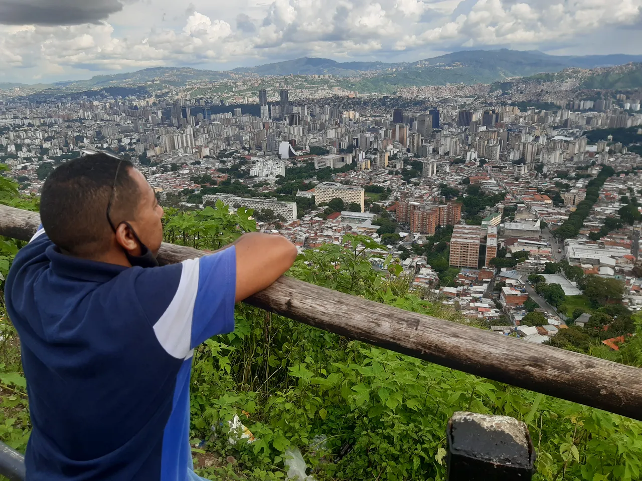
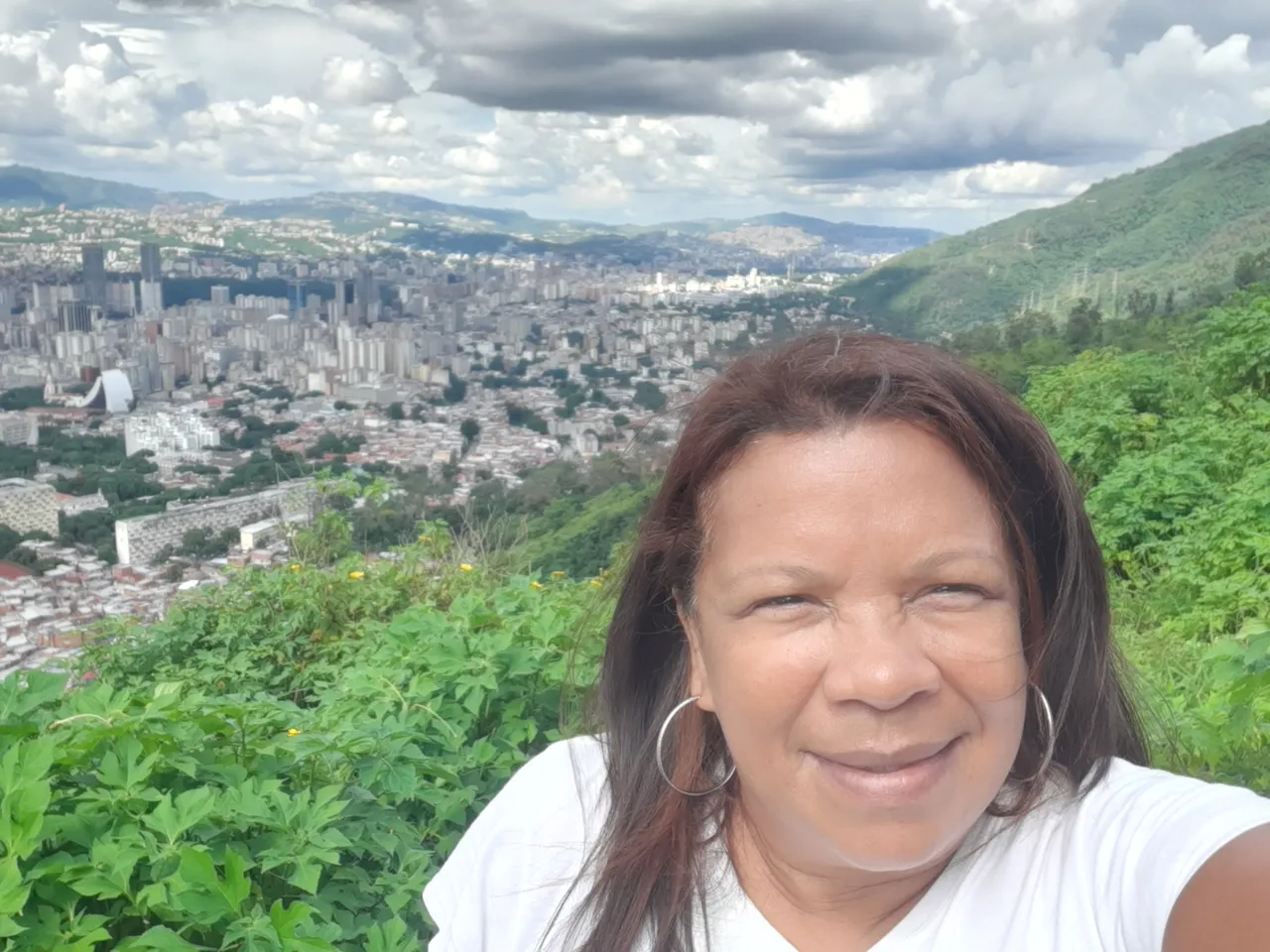
Now, after several kilometers we arrived at a point identified as Mirador Bolivar y Marti. It is really from this point where you can see the beauty of the park. A spectacular viewpoint greeted us this Sunday afternoon. We greeted Caracas from up here, excited, amazed, speechless, that's how we stayed.
The hikers watched the city of Caracas from the plaza of the monument to Martí and Bolívar. Me... with my jaw on the floor I thought, how is it that this spectacle requires courage, patience and commitment to get this far? From what was described as "ugly" it became a paradise.
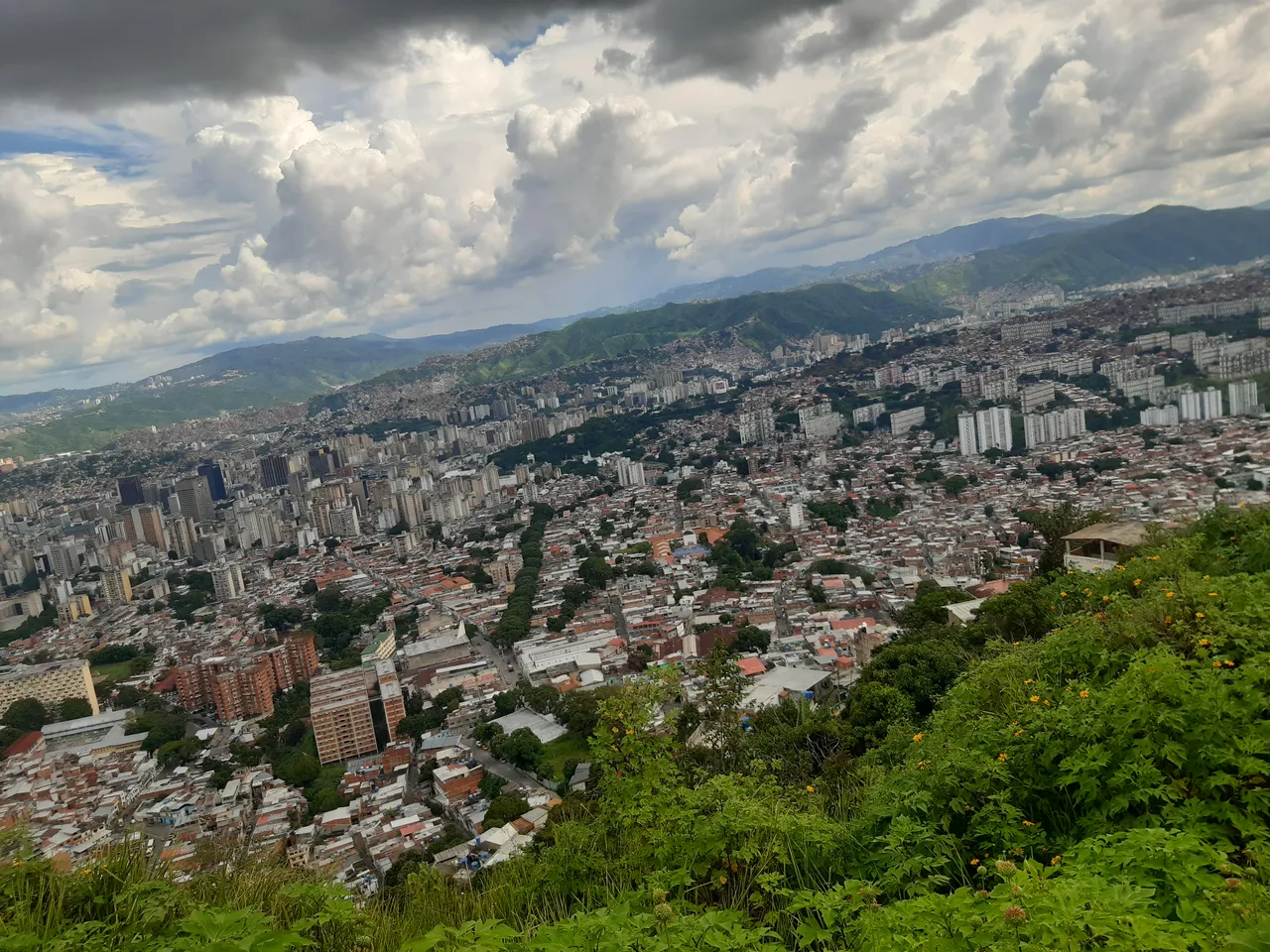
From here on, I can only present through photographs what your eyes will see if you make this journey.
View of the immense Caracas Valley
Arrival at the Bolivarian National Guard checkpoint
.
Capilla Puerta Caracas
.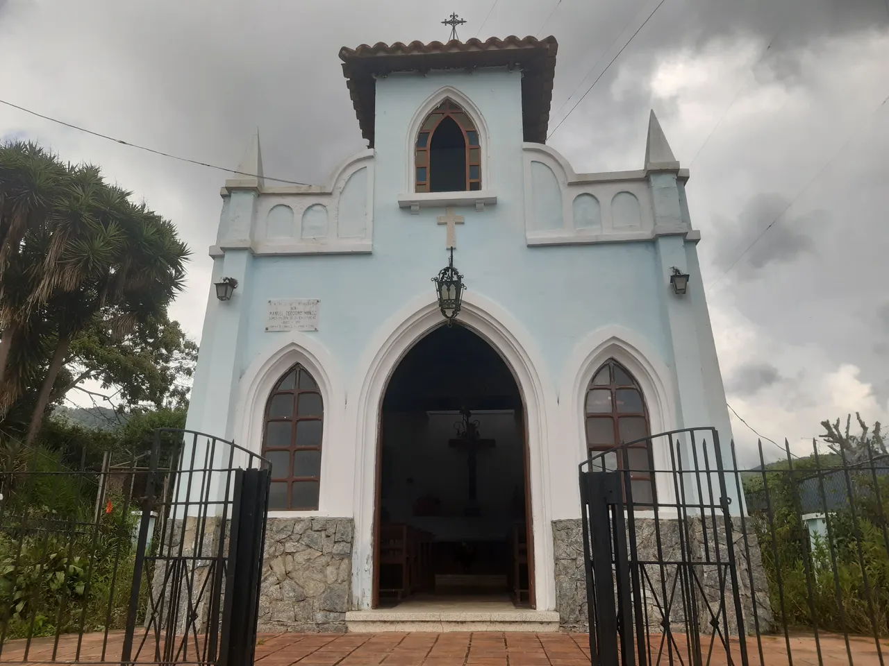
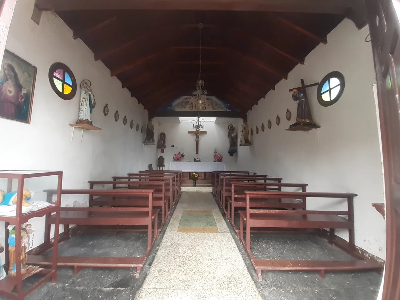
Puerta Caracas Chapel. Point where we finished the first tour due to the heavy rain at the time.
In another edition I will be narrating other experiences and showing the wonderful landscapes of this trail. There is a long way to go from here.