Welcome to Everyone who are here to visit my new journey through hills, mountains, meadows, forests and rivers walking on the National Blue Trail of Hungary. This is the first episode of my journey, so I will introduce the National Blue Trail to everyone who never heard about that before. 😉
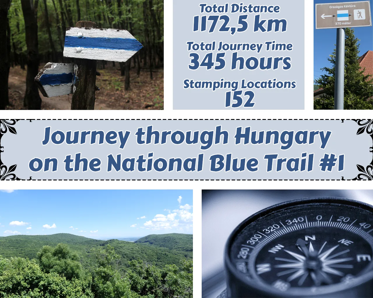
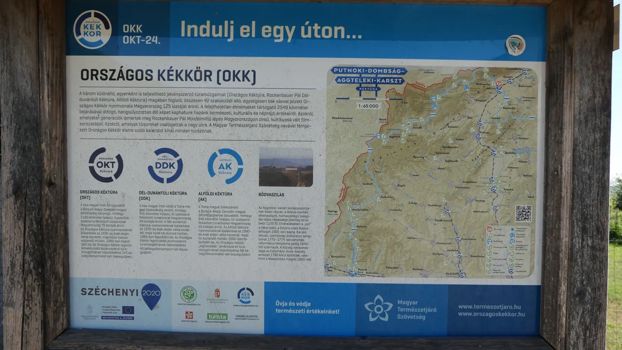
By June of 2024 more than 9650 hikers had completed the legendary National Blue Trail of Hungary marked with a blue horizontal stripe (1172,5 km). The trail traverses the northern side of the country between Írottkő and Hollóháza via each major mountains, the capital and Balaton too. The terrain, the atmosphere, geological and cultural values are so much varied that each section and each day gives unforgettable experiences.
Üdvözlök mindenkit aki szeretné végig kísérni az utamat dombokon, hegyeken, réteken, erdőkön és folyókon keresztül a Országos Kéktúrán. Ez az utam első epizódja, ezért szeretném bemutatni a túrát mindenkinek aki még soha nem hallott róla.

2024 júniusáig több mint 9650 túrázó teljesítette a legendás, kék vízszintes csíkkal jelölt **Magyarországi Nemzeti Kéktúrát(1172,5 km). A hosszúságában folyamatosan változó útvonal a Kőszegi-hegységben található Írott-kő és a Zempléni-hegységben fekvő Hollóháza között húzódik, főként Magyarország északi tájain, hegyein, a fővároson és a Balatonon keresztül. A terep, a hangulat, a geológiai és kulturális értékek annyira változatosak, hogy minden egyes szakasz és nap felejthetetlen élményeket ad.
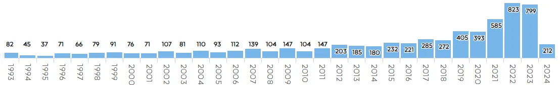
This is the number of the hikers completed the trail in the last twenty years and I hope I will increase that number soon in the future! 😁
Itt látható, hogy mennyi ember teljesítette eddig a túrát az elmúlt húsz évben és remélem én is hozzá tudok majd járulni ehhez a számhoz a jövőben! ��
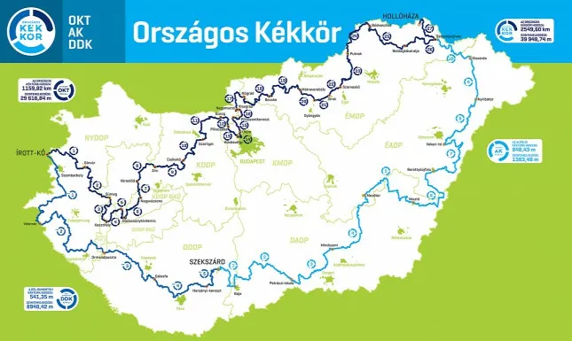
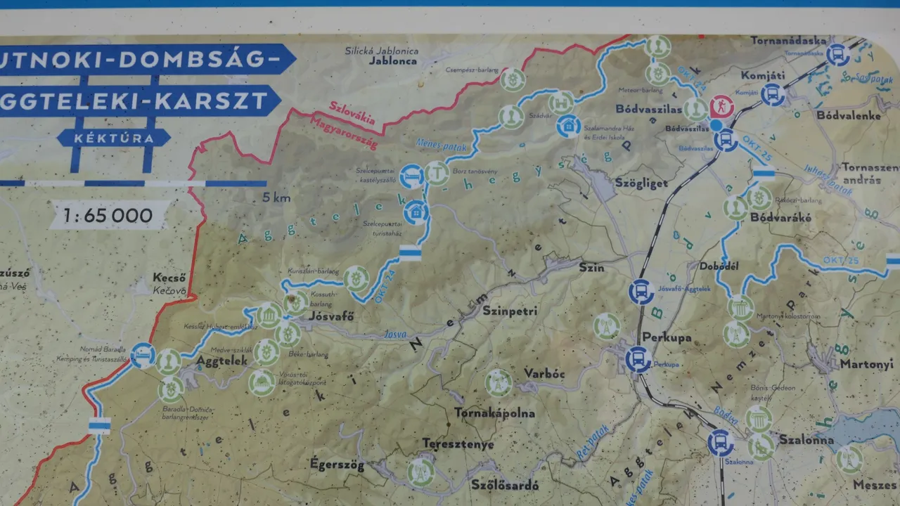
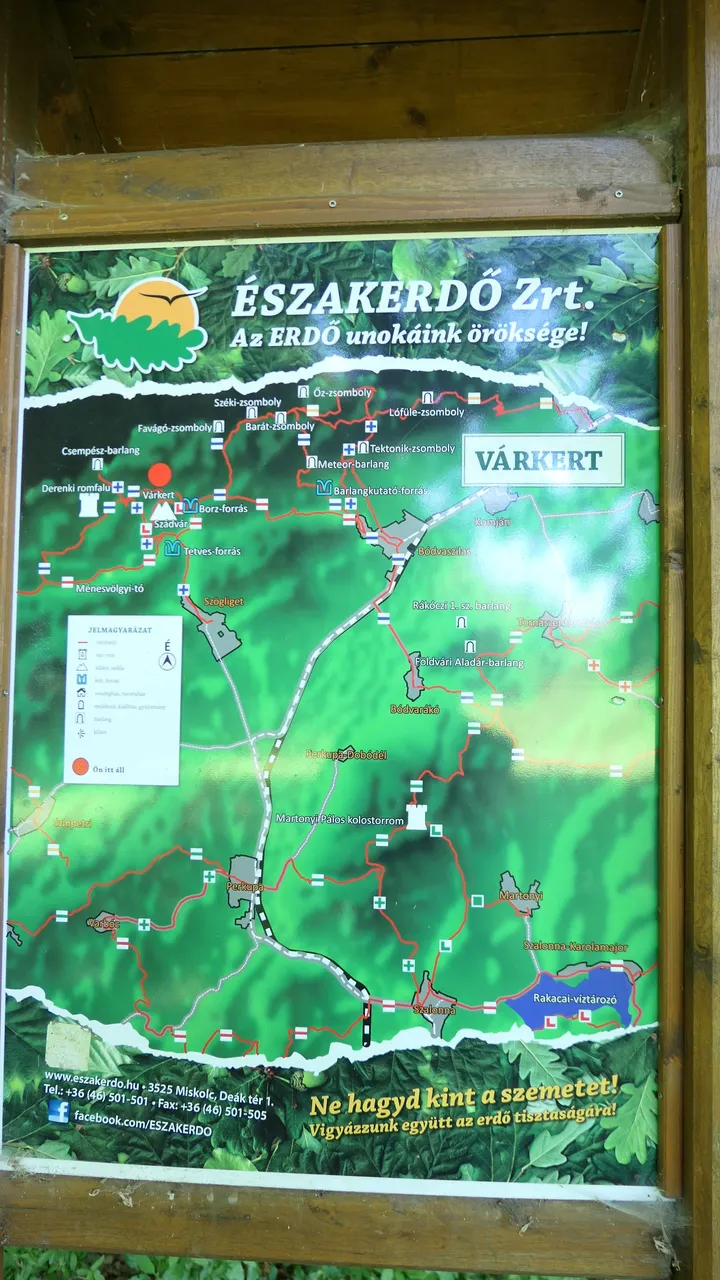
My first objective is to complete the National Blue Trail (top half of the map) and then continue to do so using the Rockenbauer Pál Dél-dunántúli Blue Trail (bottom left part of the map than finish it up through the Alföldi Blue Trail (which sits in the bottom right of the country). 🤞
This journey will be quite a huge challenge and I can not do that in one go, because of work and money, so I will split that into sessions, which I will present to everyone interested about it. 😉
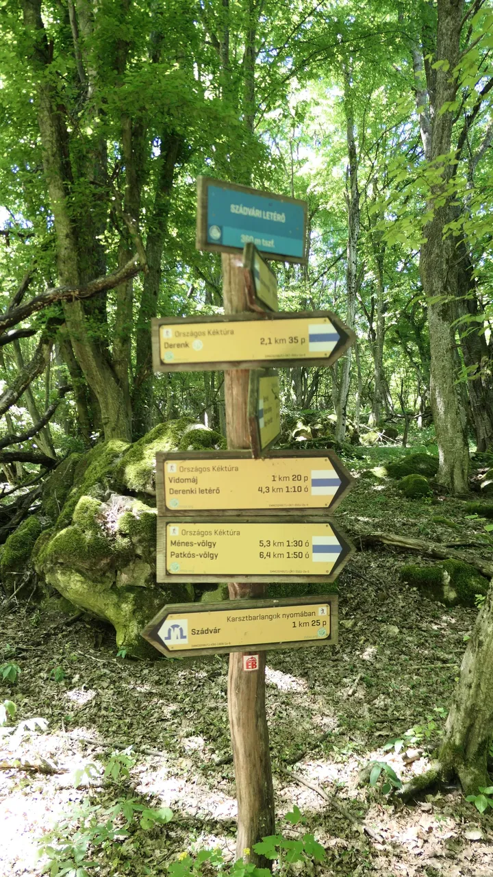
In order to participate and get the National Badge that proves that I completed the lap around the country I have to reach to specific stamping locations on the trail and use a booklet to collect each of the individual stamps in that to get verified my journey. I will show you in the post how it is look like and what I collected so far.
Enough of the story for now and let's jump in how was my first journey! 😇
Az első célom hogy teljesítsem az Országos Kéktúrát (felső része a térképnek) majd pedig ha ez megtörtént folytassam az utam tovább a Rockenbauer Pál Dél-dunántúli Kéktúrával (bal alsó része a térképnek) majd pedig befejezőleg az Alföldi Kéktúrával (ez pedig a jobb alsó széle a térképnek)

Ez az utazás elég nagy kihívás lesz és lehetetlen egyszerre letudni a munkám és a pénz miatt, így különböző szakaszokra kell osztanom amit megpróbálok megosztani mindenkivel akit érdekelhet. ��

Ahhoz, hogy teljes mértében részt vehessek a kéktúrán és megszerezzem a jelvényt ami bizonyítja, hogy megtettem a teljes kört útközben bizonyos pecsételő helyeken kell keresztül haladni és összegyüjteni a pecséteket ezekeről a helyekről egy gyüjtő füzetbe. A későbbiekben megmutatom, hogy is néz ki ez a füzet illetve milyen pecséteket szereztem be eddig.

Elég lesz a beszédből szóval lássuk milyen is volt az első túrám!  ��
The biggest challenge apart from hiking a lot is to travel to point A somehow and travel back from point B to home, so I started with a close checkpoint from where I live to make the start a bit easier, but that would be much more difficult in the future and require more organising.
A legnagyobb kihívást a túrázáson kívül mindig az jelenti, hogy hogyan jussunk el az A pontba ahonnan indulunk és hogyan fogunk haza jutni a B pontból ahová megérkeztünk így hát kiválasztottam egy az otthonomhoz közeli induló pontot, hogy megkönnyítsem az indulást, ami a jövőben egyre nehezebb lesz majd és több szervezést fog igényelni.

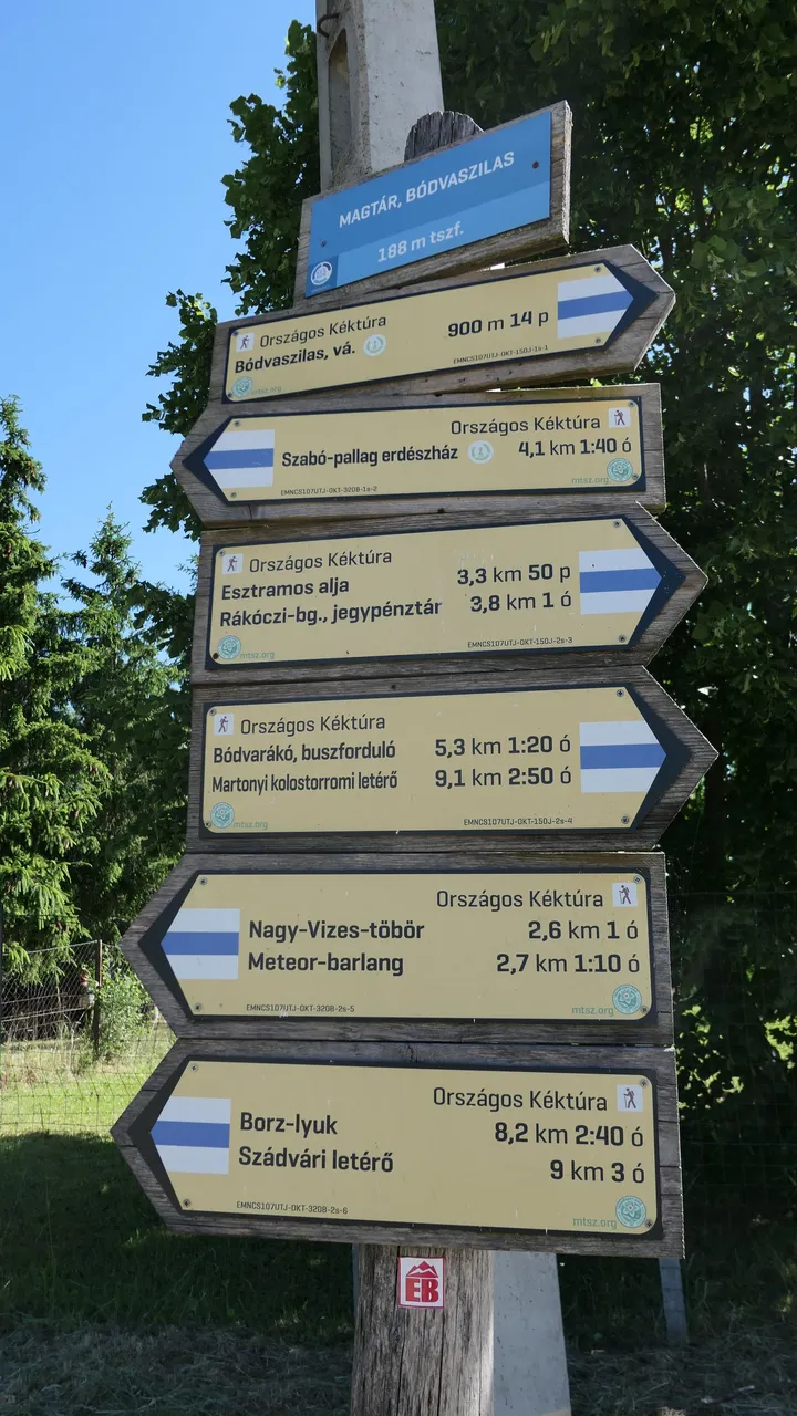
Az első induló pontom Bódvaszilas volt és onnan túrázok majd egész végig Jósvafőig. Az egész túra 26,6 km hosszú és sok emelkedő tarkítja majd gyönyörű tájakon.
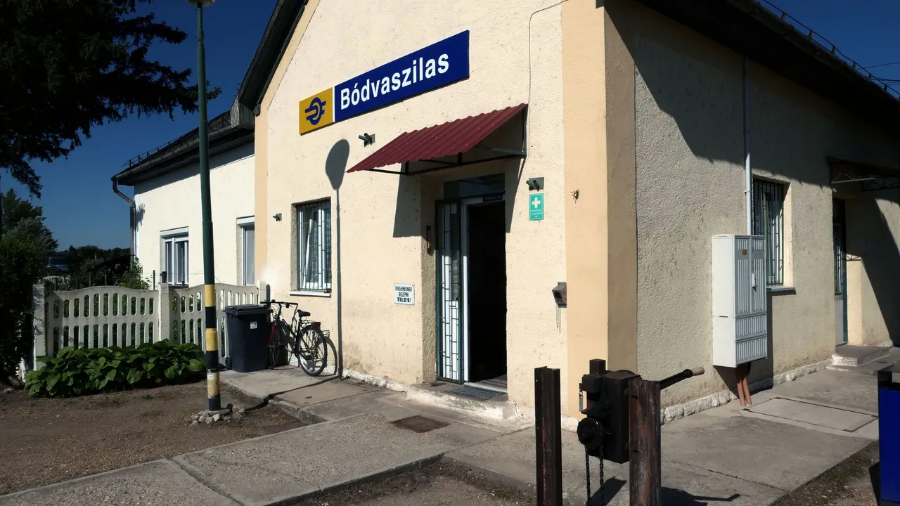
Finally I arrived into the train station of Bódvaszilas and you can see straight away the first stamping location on the right of the door. (I think this will be the easiest stamp I acquired throughout the journey) 😇
Végre megérkeztem a Bódvaszilasi vonatállomásra és rögtön megpillanthatjátok az első pecsételő helyet az ajtó jobb oldalán. (Szerintem ez volt és lesz a legkönnyebb pecsét amit valaha megszereztem.) ��
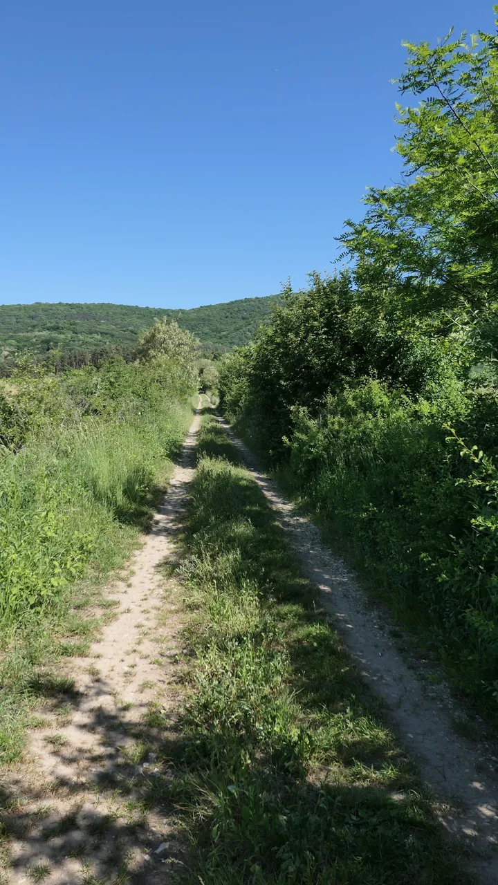
Let's start the hike where my goal will be just to follow the blue horizontal stripe and not to get lost! 😁
Na lássuk milyen lesz az első túrám ahol csak a kék vízszintes csíkkal jelzett utat kell követnem és remélem nem fogok eltévedni! ��
 |  |  |
|---|---|---|
The village was beautiful and had a quite atmosphere plus the weather was just perfect to go around and take photos! The map shows all the journey ahead and the start would be quite difficult to climb up to 360 m high to the top of the first mountain. 😅
A falu szép és csendes volt ráadásul az időjárás nem is lehetett volna ennél jobb a túrázáshoz és fényképezéshez! A térképen lehet látni az egész elkövetkező túra szakaszt és az eleje elég nehéz volt, mert egy körülbelül 360 méter magas emelkedővel kezdődött ami felvisz majd az első hegy tetejére. ��
 |  |
|---|---|
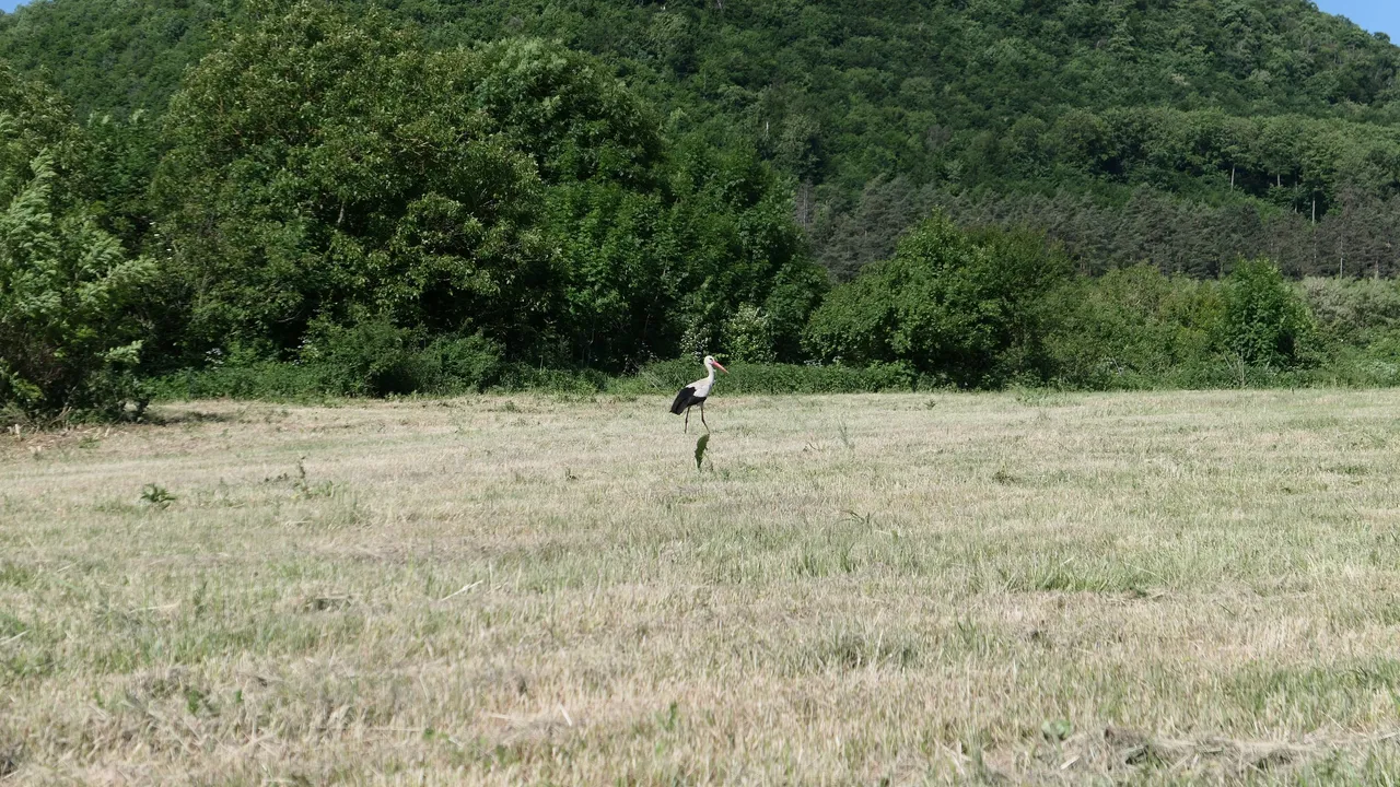
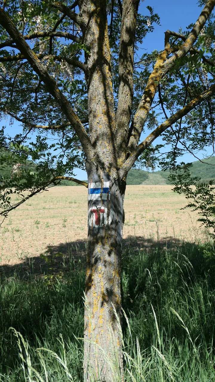
I was lucky to catch one of the most popular bird of the hungarian people, which is the White Stork who was hunting after his/her breakfast! The road was straight, but it was going up on the hill and I had no problem following the painted signs on trees and sometimes on rocks. 🤗
Szerencsére sikerült lencsvégre kapni a magyar emberek között elég népszerű Fehér Gólyát ami éppen reggelizni készült! A további út egyenesen vezetett fel a domboldalon és nem volt semmi probléma követni a fákra és néha szikákra festett túra jeleket. ��
 |  |
|---|---|
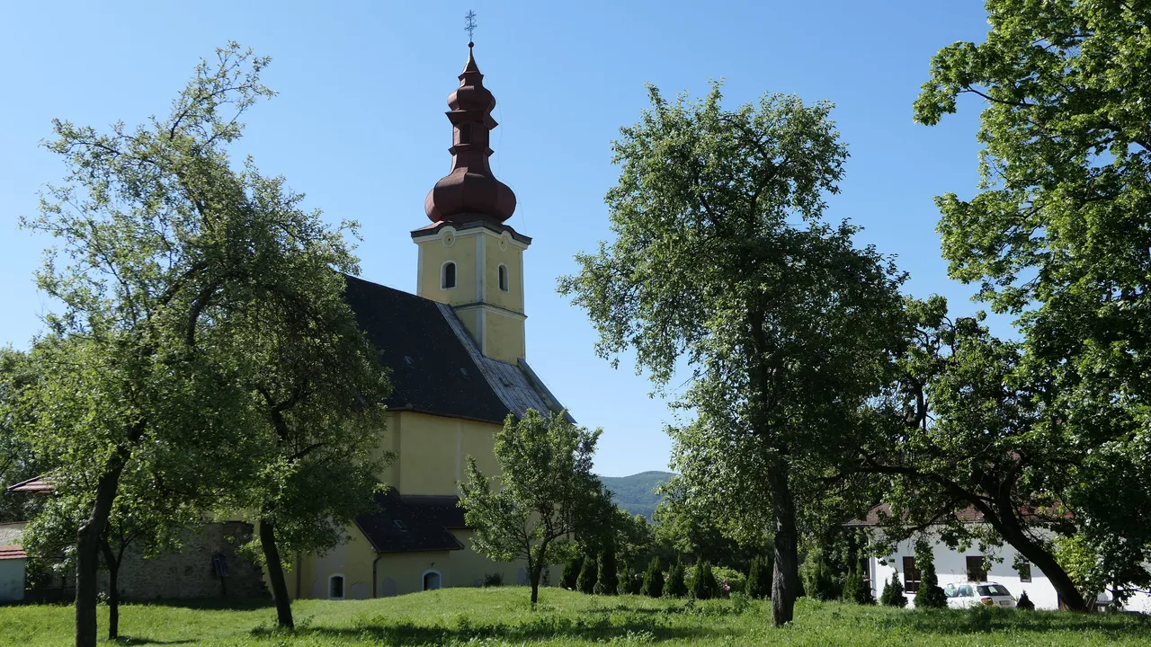
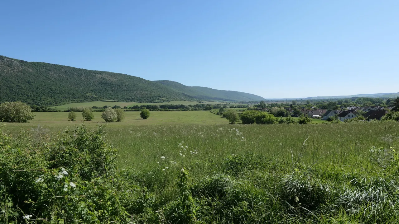
After a steep hike I reached at 75% of the top of the mountain where I had the chance to take a shot of the beautiful hills around the village that I have started the journey from and to take a breath! The church I took a photo before is at the middle of the picture! 😁
A meredek emelkedő 75%-nál a hegy oldalában volt egy nagyon jó lehetőség gyönyörű felvételeket készíteni a fluról ahonnan indultam és egy kicsit megpihenni! A templom amiről a fényképet készítettem a faluban a kép közepén helyezkedik el! ��
 |  |  |
|---|---|---|
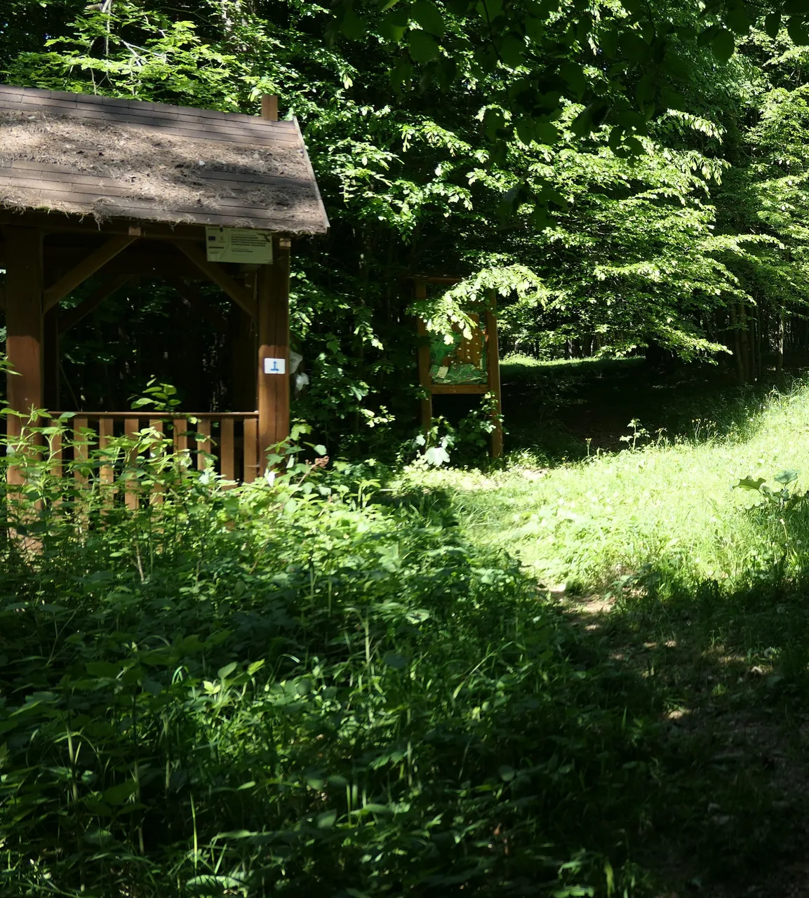
Finally I arrived at the first checkpoint and stamping location, which you can see on the side of that little house. This location name was the Szabó-Pallag Forest House and I acquired my second stamp into my booklet. 😀
Végre megérkeztem az első ellenörző pontra és pecsételő helyre amit a kis ház oldalán lehet is látni. A hely neve Szabó-Pallag Erdészház, ahol megszereztem a második pecsétemet a kis füzetbe. ��
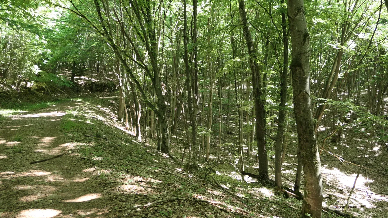
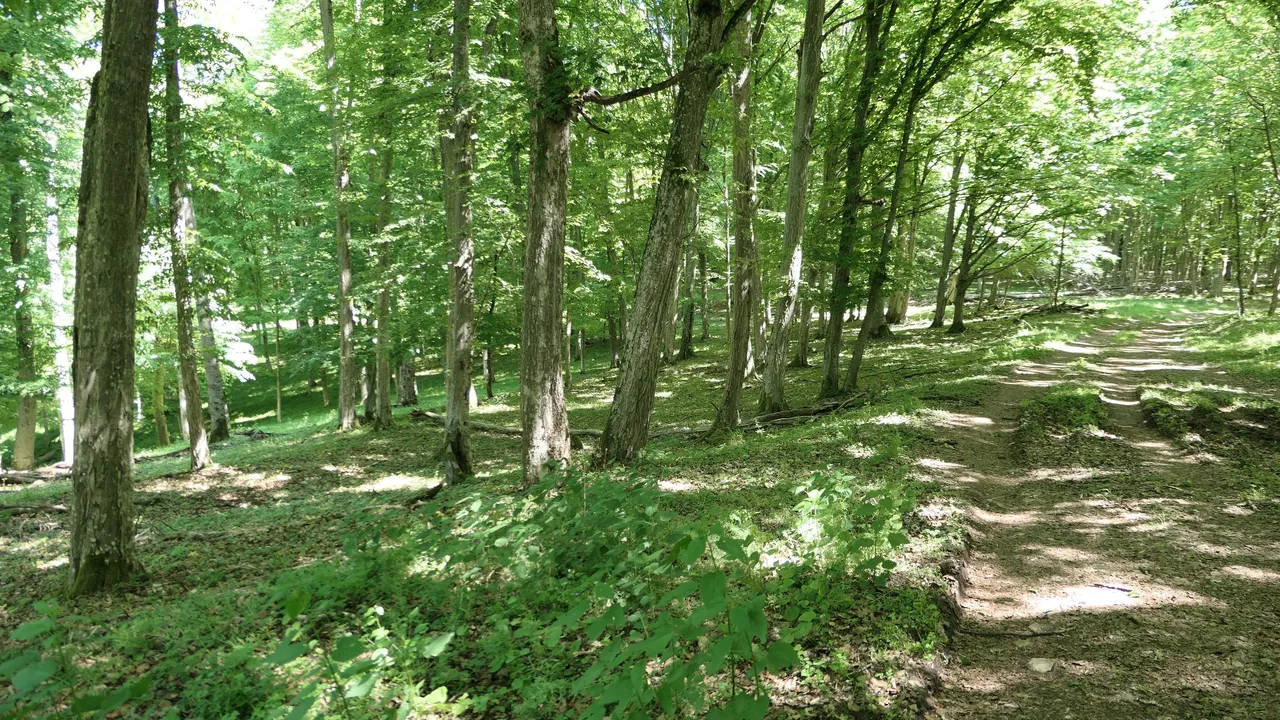
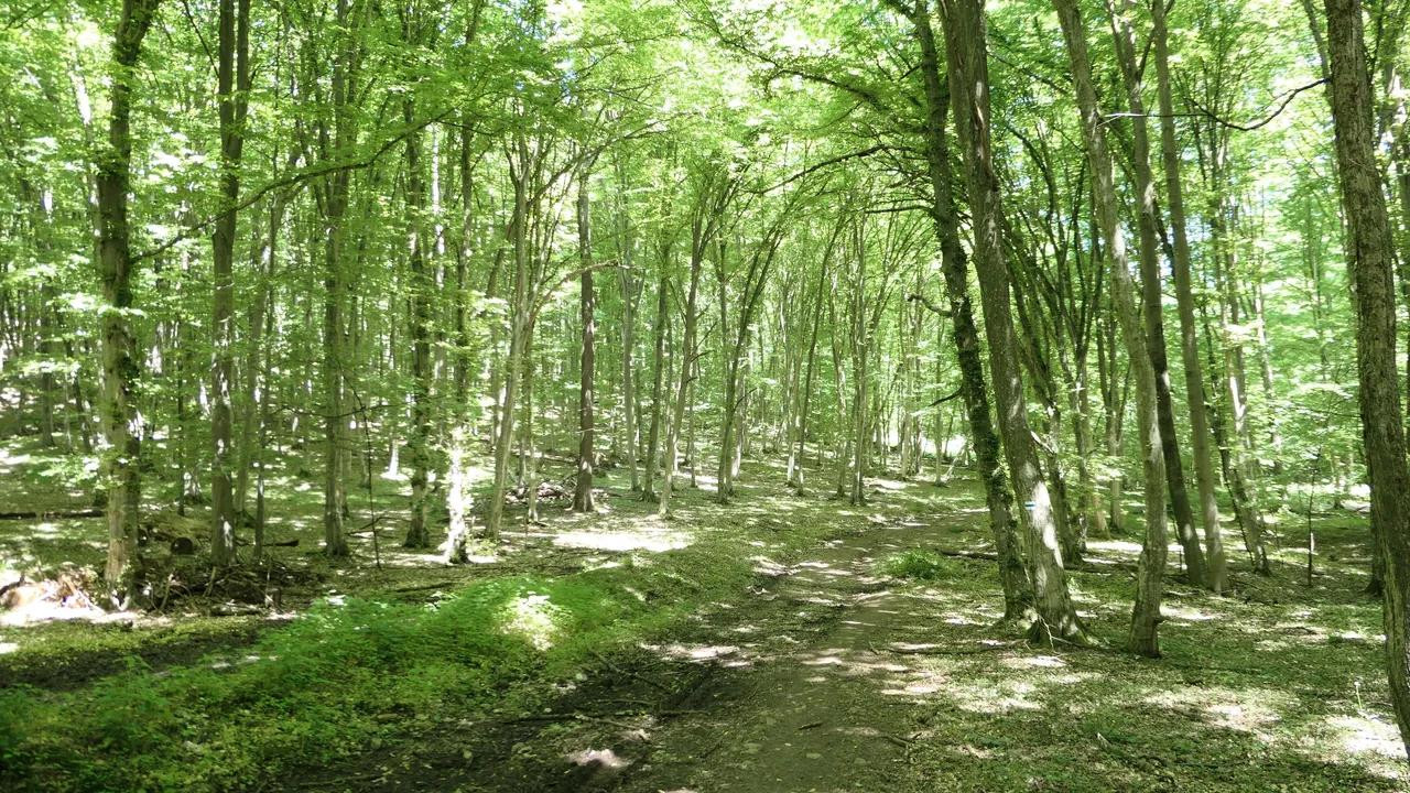
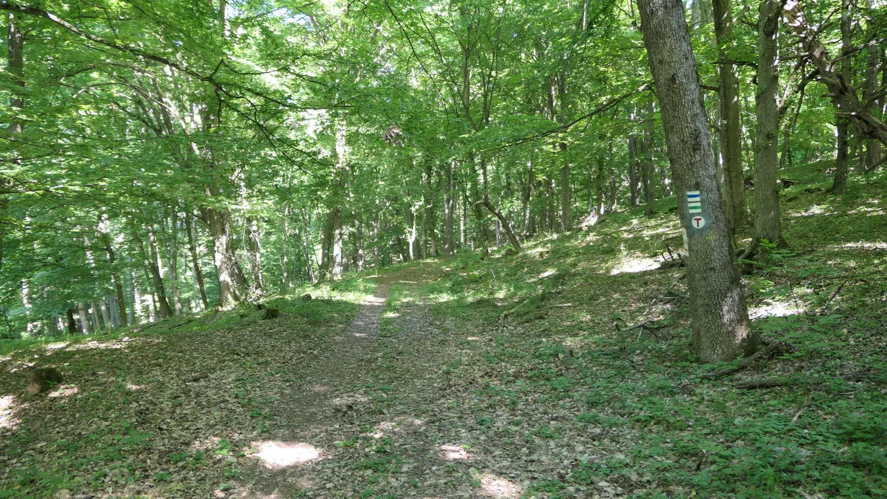
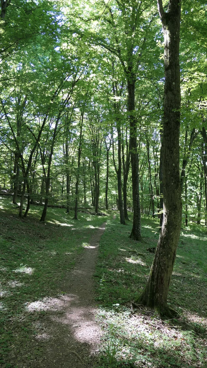
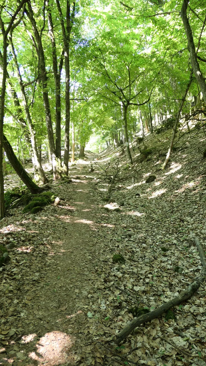
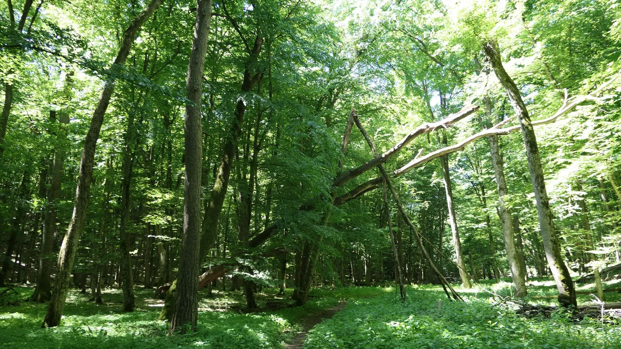
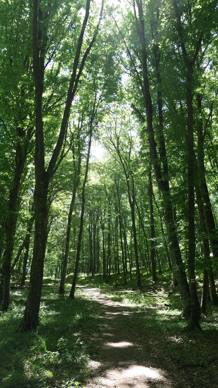
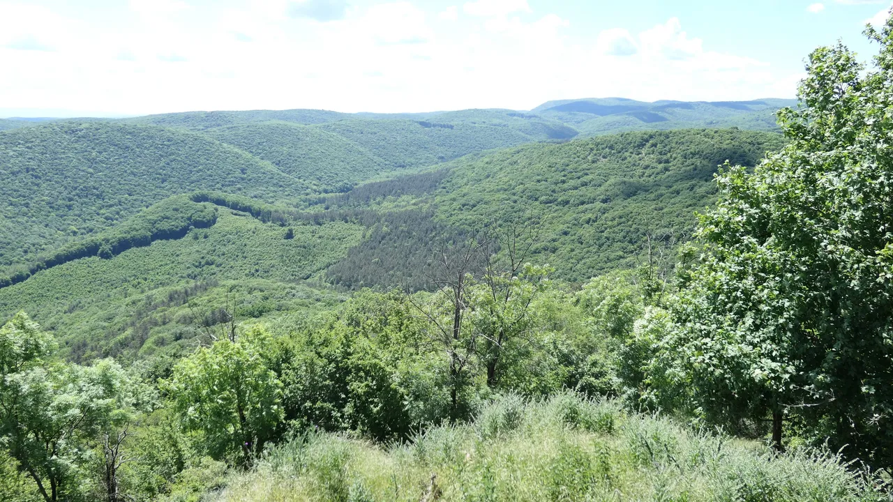
After I left the first checkpoint the road was going through a dense forest and the scenery looked amazing. The sound of the birds and wind on the trees was just outstanding. Luckily the path was clearly visible at all times and it was cleared from any kind of roadblocks.
Miután elhagytam az első ellenörző pontot az út egy sűrű erdőben folytatódott és a látvány elképesztő volt. A madarak énekeltek és lehetett hallani a fák hangját ahogy a szél fújta őket. Szerencsére az út nagyon jól látható volt és nélkülözött mindenféle akadályt és úttorlaszt.
 |  |  |
|---|---|---|
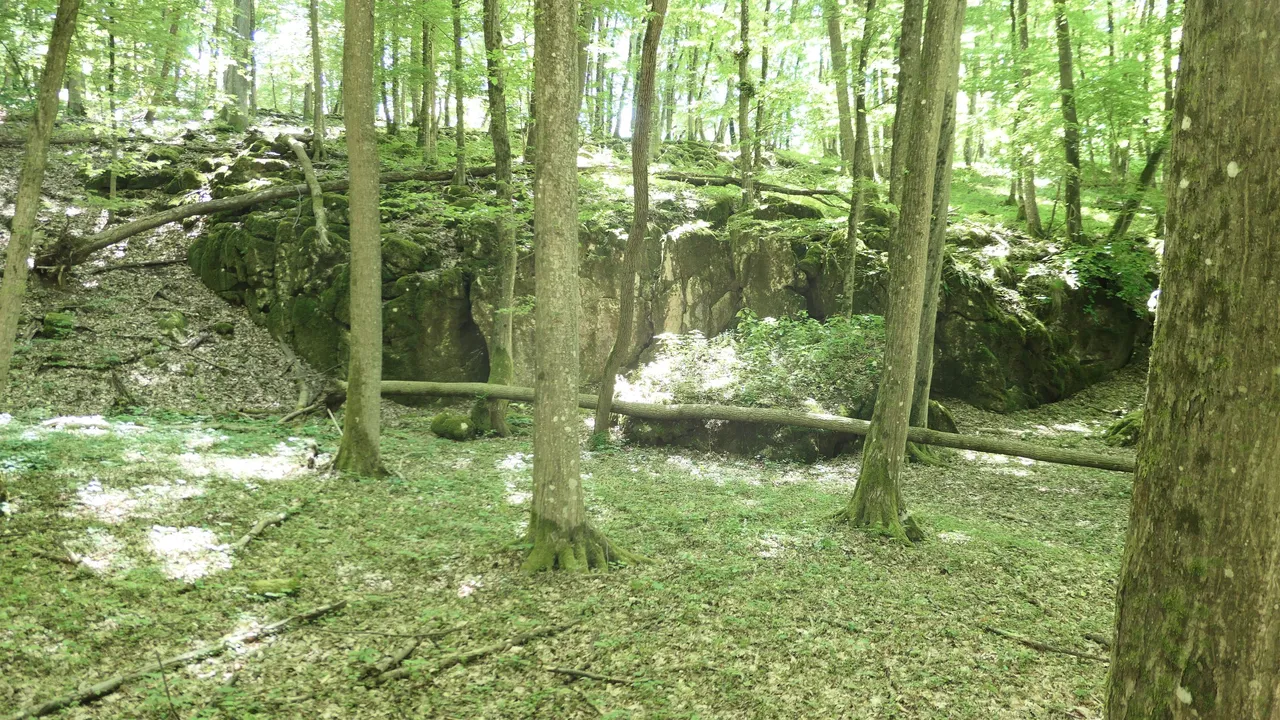
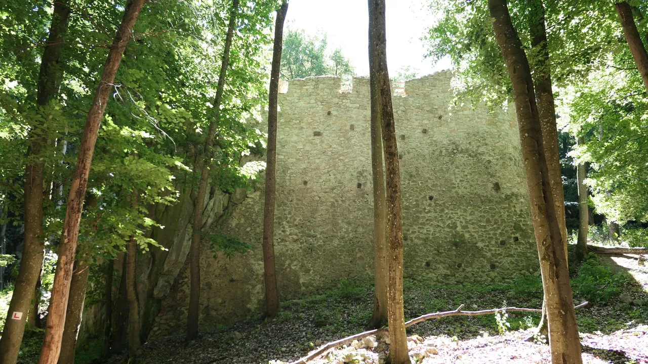
My journey reached to a point where I had to leave the Blue Trail in order to visit the remains of an old castle called Szádvár, which was mentioned the first time in the hungarian history at 1286 and than it was demolished by the enemy Austrian troops in 1686 in the fear of a rebellion against them by the hungarians. It was tough times, so it will worth the visit and detour! 😞
Az utam elért egy olyan pontra ahol el kellett hagynom a kijelölt kéktúra útvonalát, mert a Szádvári vár romot szerettem volna meglátogatni a túra útvonal mentén, amit először az 1286-os oklevelek említenek meg a történelemben. Sajnos a várat az ellenséges osztrák haderők lerombolták 1686-ban, mert elejét szerették volna a magyarok további lázadozásainak. Nehéz idők voltak azok, de mindenképpen megéri a kitérőt! ��
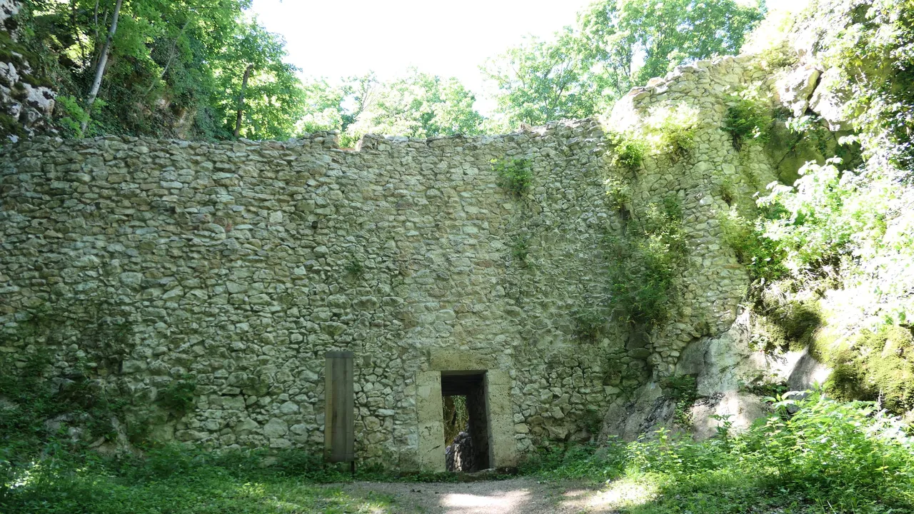
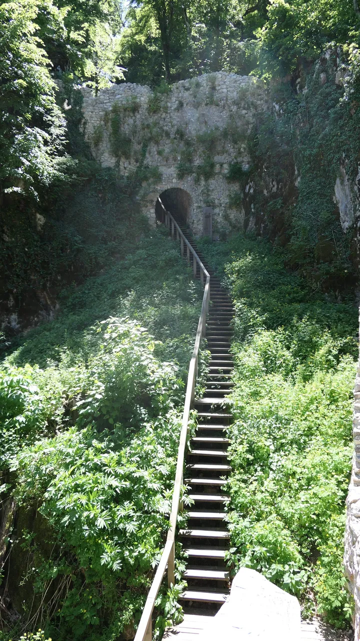
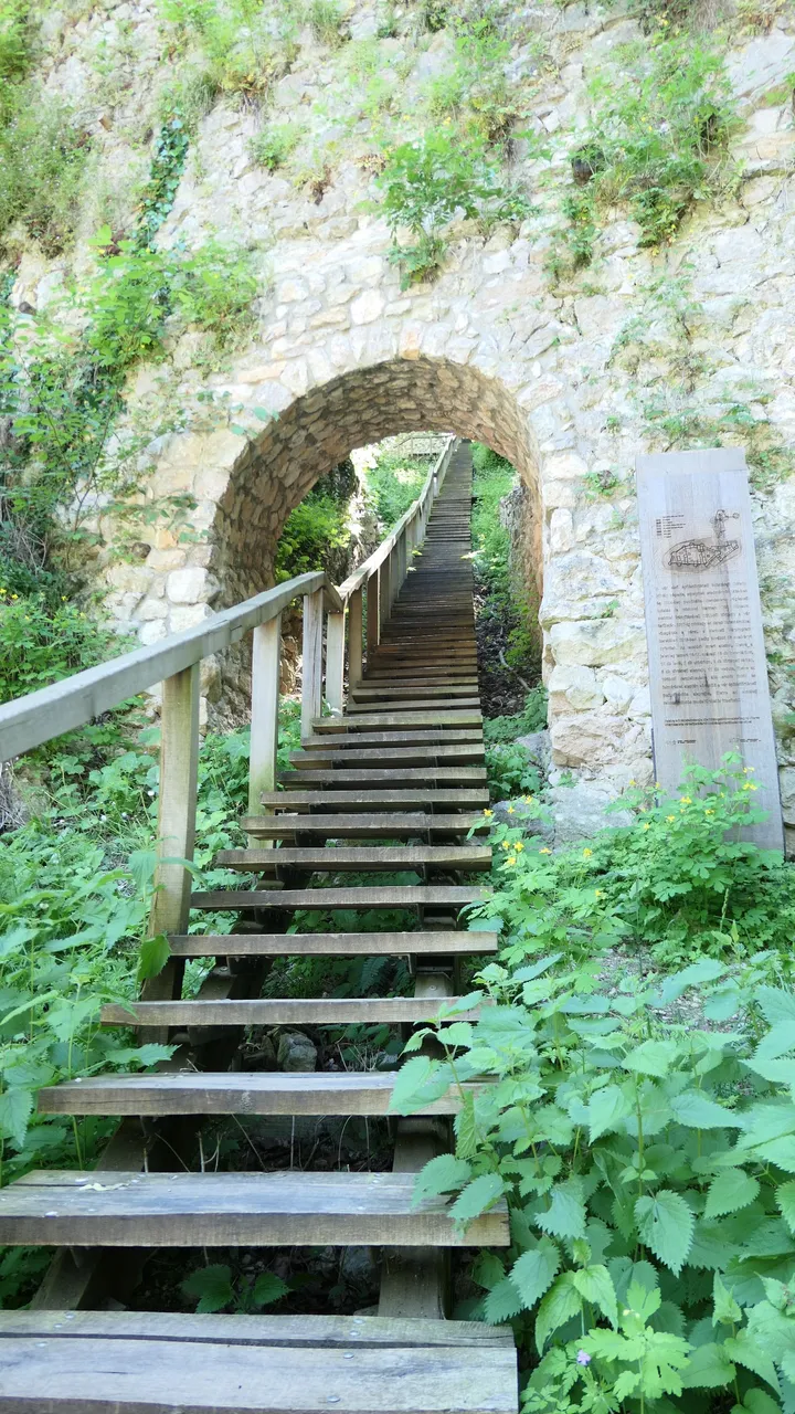
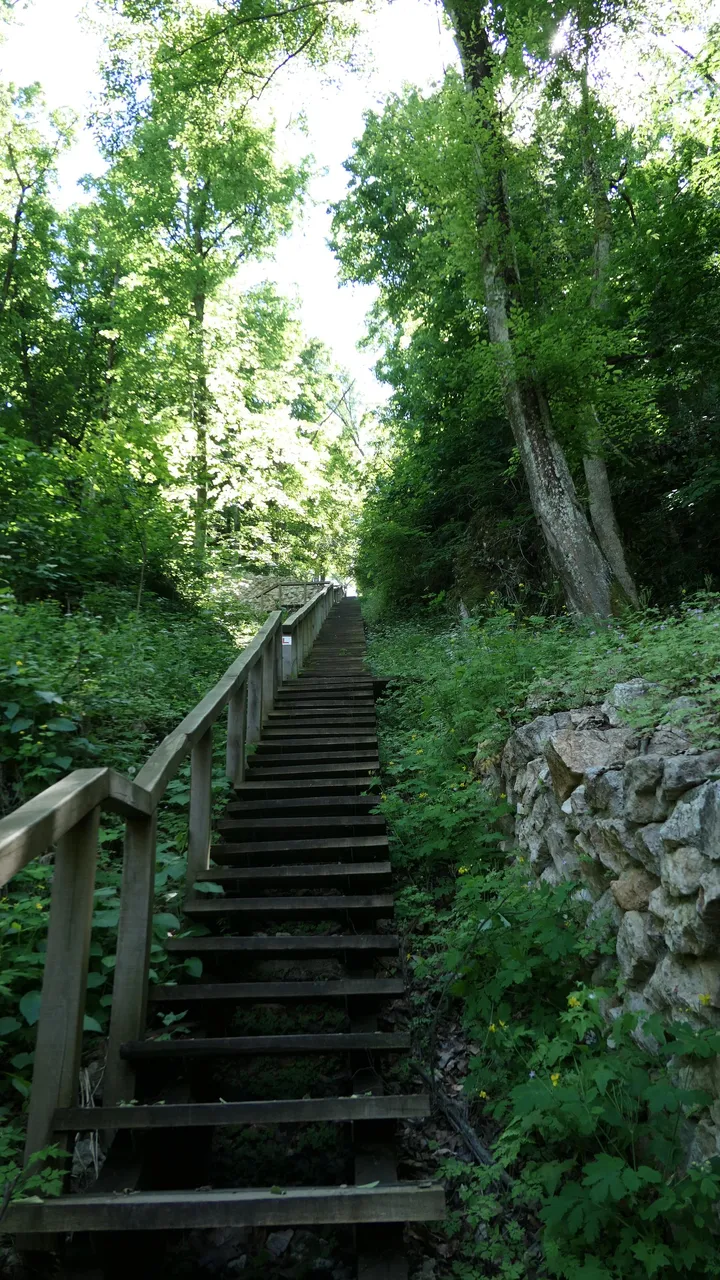
Going through the entrance there were a lot of stairs to go up on this ancient castle where they used to pull up the stocks, foods and supplies using an interesting pulley system operated by two horse at the top. The remains of this pulley system was also destroyed through the ages, but that is the best educated guess from the historians. 😊
A bejáratot követően nagyon sok lépcső volt a meredek hegy falon felfelé ahol régen az árút lovakkal húzták fel egy csörlős megoldással egészen a hegy tetejére. Sajnos ez a fajta csörlős megoldás elenyészett az idők folyamán így tehát a történelmi szakértőkre hagyatkozhatunk csak. ��
 |  |  |
|---|---|---|
Climbing the stairs was a difficult challenge after hiking for over 2 hours already and I had to stop few time to catch a breath, but I hoped that the sights from the top will worth the effort! 🤞
A lépcsőn felmászni elég nehéz feladatnak bizonyult, mert már 2 órája úton voltam elég sok emelkedő után így párszor meg kellett állni pihenni a lépcsőzés közben és közben nagyon reméltem, hoyg a kilátás megéri majd az erőfeszítést! ��
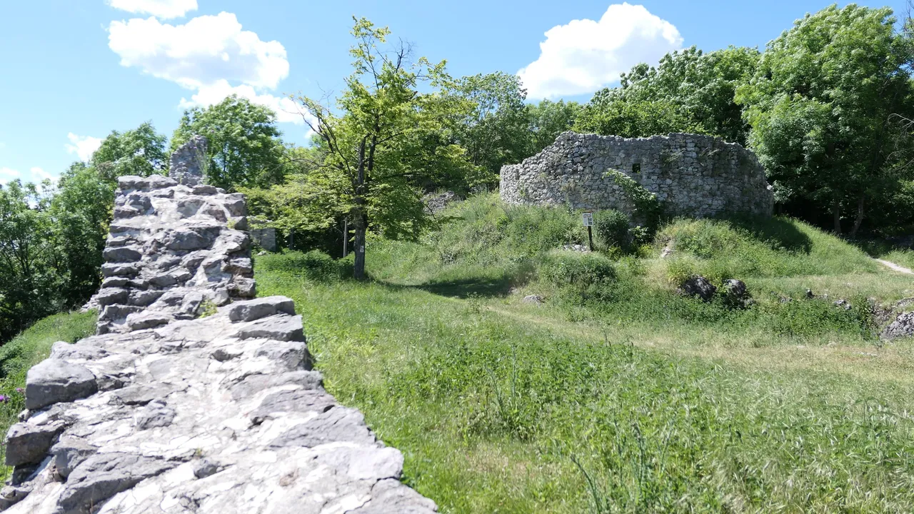
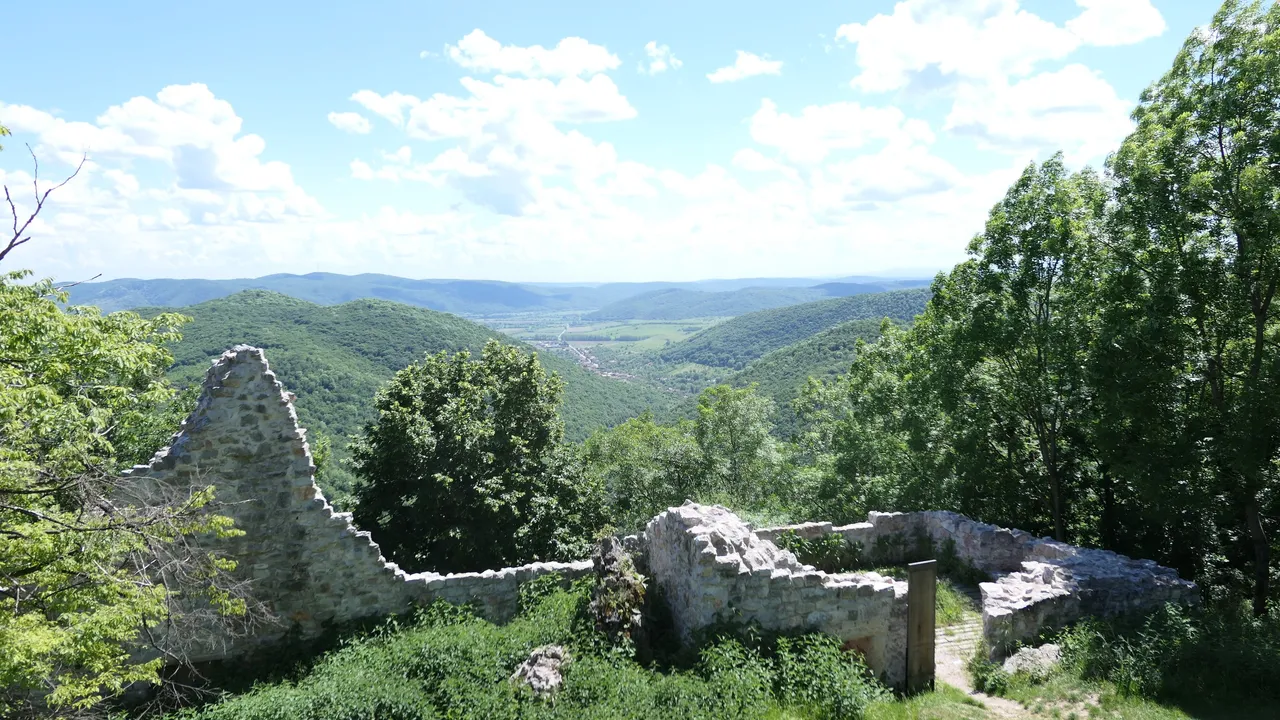
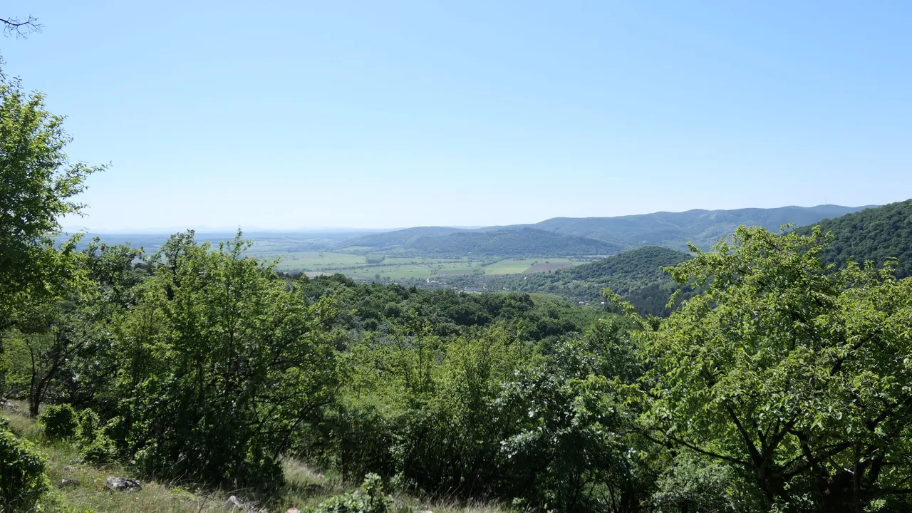
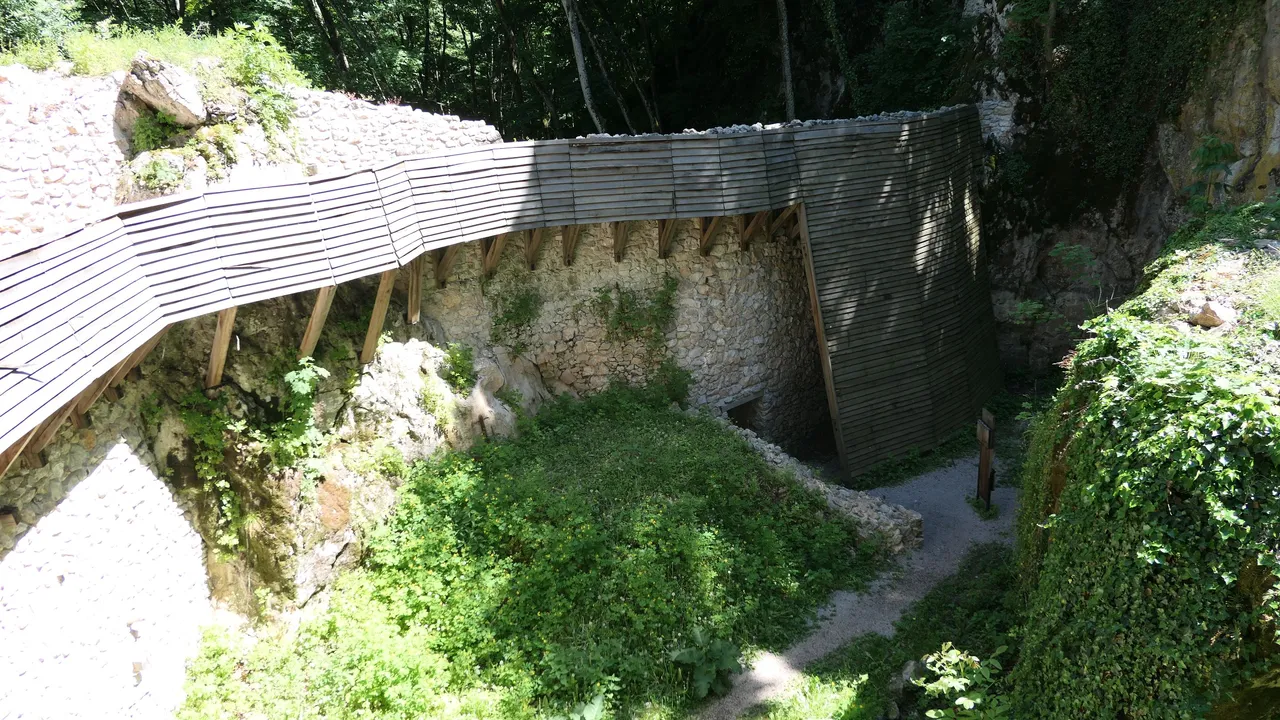
The sights were breathtaking from the nearby mountains and hills with forests as I expected from previous experience and worth the two hours detour. That is why I like these castles so much even it was a shame that the castle was destroyed. Luckily there are groups that are trying to take care of the remains and that is why the stairs was built leading to the top from the lower entrance. 🙏
A vár tetőről eszméletlenül jó kilátás nyílik a környező erdős hegyekre és dombokra ahogy számítottam is rá és már csak ezért megérte ezt körülbelül két órás kitérőt. Kár, hogy a vár már csak nyomokban található meg, de nekem így is nagyon tetszett. Szerencsére lelkes csoportok próbálják életben tartani a romokat és nekik köszönhetjük a lentről felvezető lépcsősort és restaurált bástyákat. ��
I think I will finish my first episode here, because it is getting too long and there is still a lot to tell and show to you about my journey. I do not want to overwhelm you with all the pictures that I made from this session and it was so difficult to choose even these images in this post, because I did three or four times more pictures. I hope I could give you the feeling I had and it was interesting to you as it was to me. 😇
I would happily answer to any kind of questions about the trail or my experience, so feel free to write me anything below.
I would like to thank you to your patience going through reading my first post and I hope you will follow me for more! 🙏
Szerintem itt be is fejezem az első részét ennek az utazásnak, mert kezd egy kicsit hosszúra nyúlni és még nagyon sok minden van amit be szeretnék mutatni és nem akarom túl hosszúra nyújtani ezt a posztot túl sok képpel és szöveggel. Nagyon nehéz volt kiválasztani a megfelelő képeket, mert három-négyszer ennyi képet csináltam és remélem mindenki érdekesnek találja majd. ��

Boldogan válaszolok bármilyen kérdésre a túrával kapcsolatban szóval nyugodtan lehet kérdezni lentebb.

Szeretném megköszönni mindenkinek a türelmét, hogy elolvasta az első posztomat és remélem még találkozunk! ��
All the photos, banner and divider is mine and I created it except the map and graph, which was taken from the official Blue Trail website.
I used my Lumix DMX-LX15 camera to take the photos! 😊