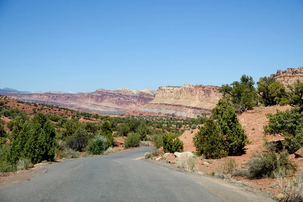
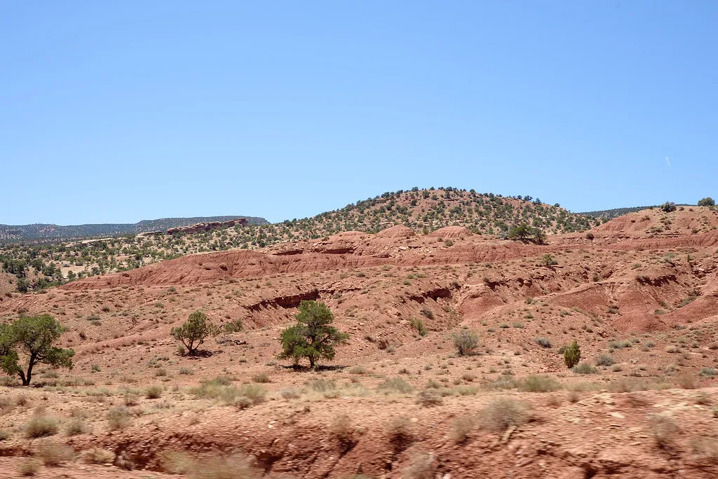
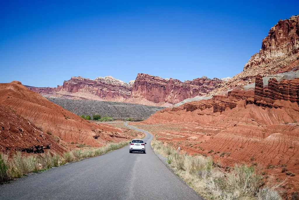
After our hike in Grand Wash we went on a the Capital Reef Scenic drive before we stopped and got ice cream and pie at a local place before having lunch and relaxing in Doc Inglesby picnic grove.
 |  |  |
|---|
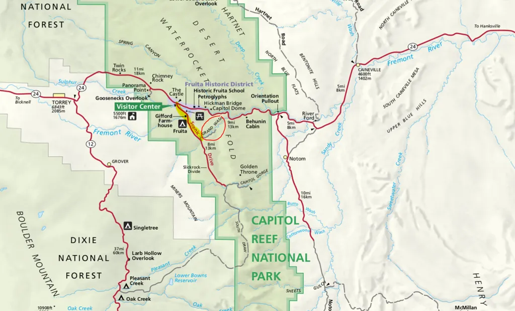
Map
Here is a map. I highlighted the part of the drive we did in yellow and circled the Grand Wash Hike in red. They intersect. Sometime it would be fun to hike to the scenic drive.
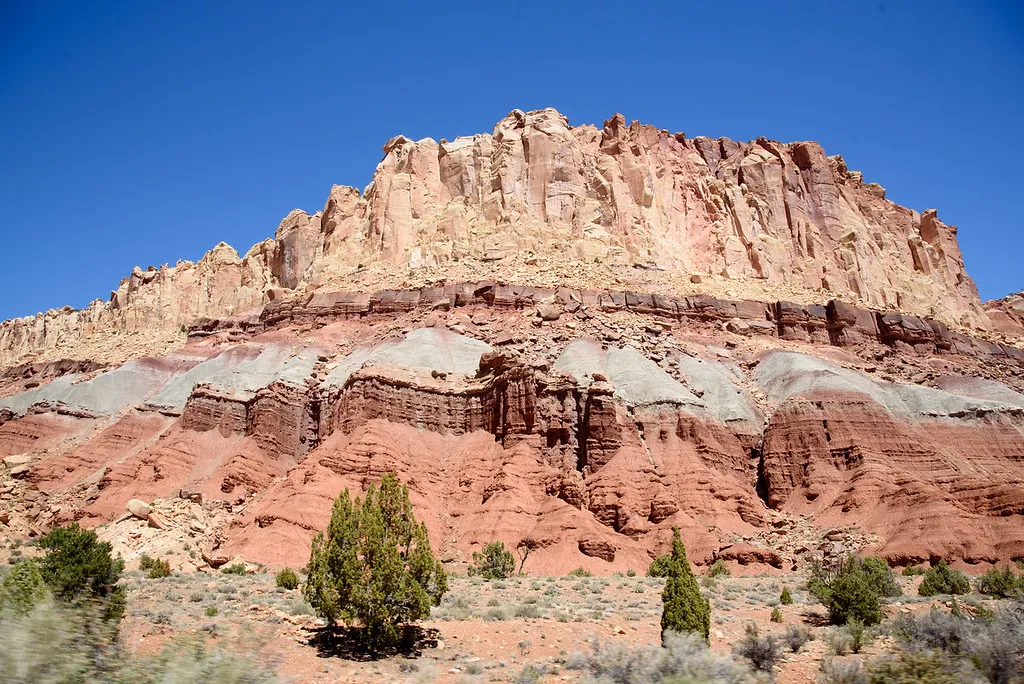
Candy Canes
Officially these are Moenkopi Formations, @jarvie called them candy cane which I like cause they look like that. The are 225 million years old rock and are:
thin beds of reddish-brown shale that were formed from silt and clay that came to rest in the quiet waters of lagoons, mud flats, and costal flood plains.

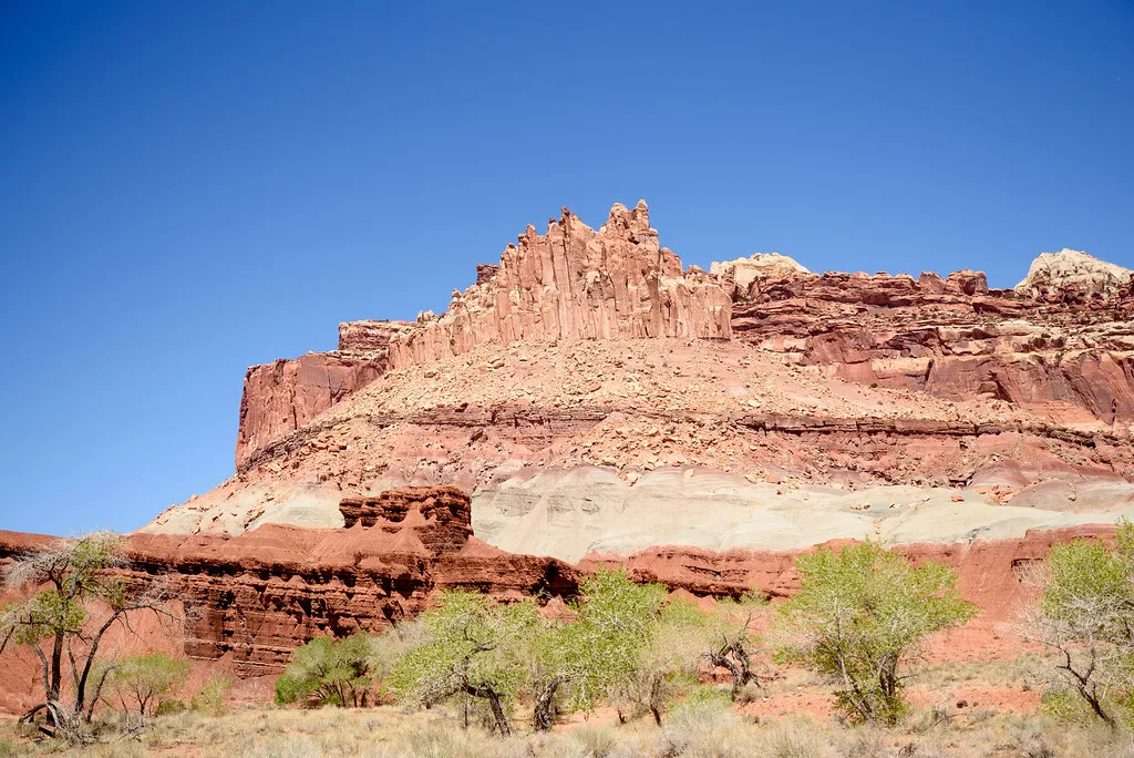
Navajo Formation
The Navajo Formation is over 1,400 feet (427 m) in places. Its white, rounded domes, reminiscent of the nation's capitol building, inspired part of the name for Capitol Reef. Prospectors with seafaring experience viewed this monocline as a barrier to transportation, and supplied the nautical term "reef"

 | |
|---|
 |  |
|---|
Sources:
NPS Capitol Reef: Guide to the Scenic Drive

Share Our World Series
2021
Share Our World: Capitol Reef National Park Overview
Share Our World: Fluted Wall, Capitol Reef NP
Share Our World: Fruita School Capital Reef NP
Share Our World: Sabino Canyon
Share Our World: Agave Garden
Share Our World: Saguaro National Park
Share Our World: Arizona- Sonora Desert Museum
Share Our World: Cactus Garden
Share Our World: The White Dove of the Desert
Share Our World: Mayo Clinic Nature Trail
Share Our World: Desert Botanical Garden in Phoenix, Arizona
Share Our World: Desert Botanical Garden in 1.4
All the 2020 posts are here 3 year anniversary on HIVE
All the 2019 posts are here My 2019 Steem Journey
All the 2018 posts are here My Year Journey on Steem