At this 1.5 hours walk I experienced the rough and wild side of the Baltic Sea - with lots of water, steep cliffs, often rough winds, seabirds and interesting vegetation.
IMPORTANT: Even if the tides on the Baltic Sea are barely noticeable, you should only do this hike at low tide. Here you can find the tides on the neighboring island of Poel.
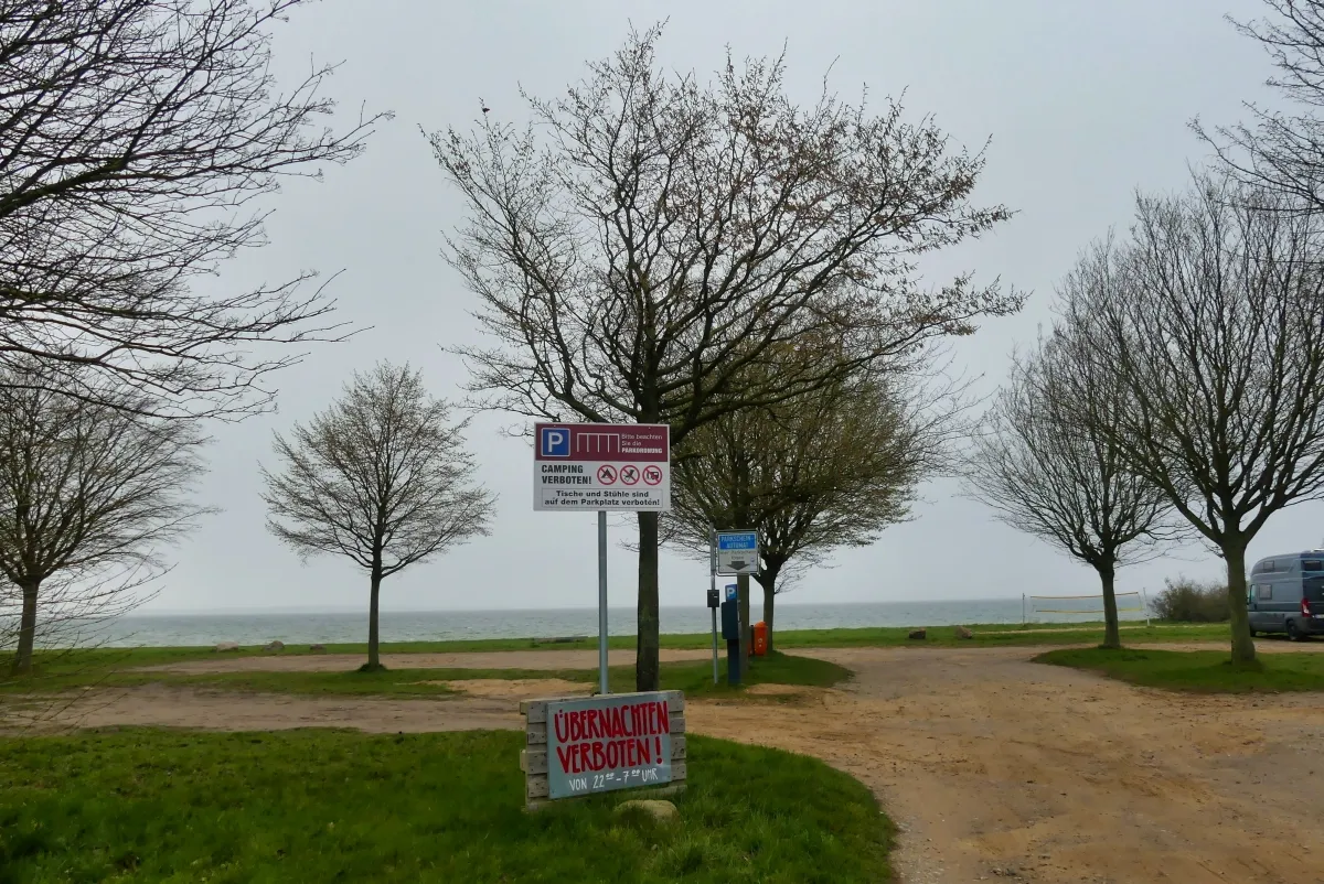
When you come from Boiensdorf, a village with around 500 inhabitants, you should park your car on the western parking (54.024159,11.541030) between the village and the "Werder" (peninsula).
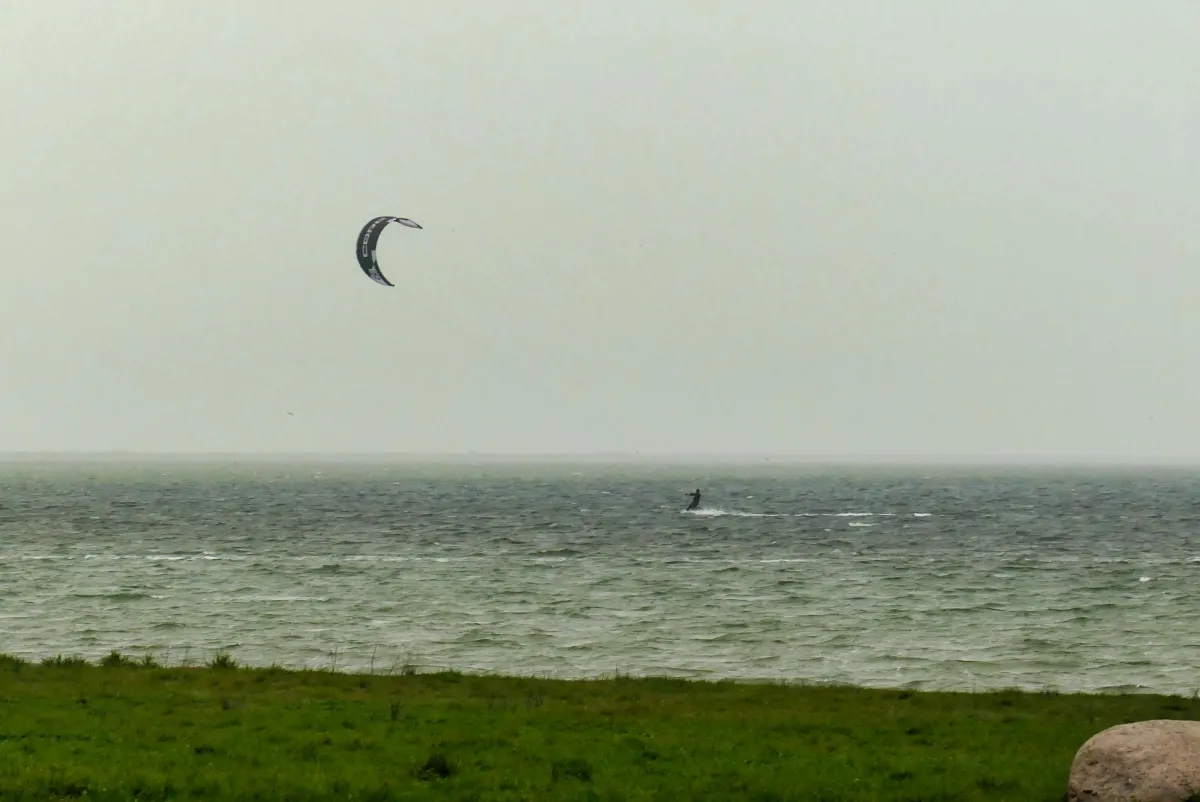
When the temperatures are low, as they were on my hike, and the winds are strong, you won't encounter many sports enthusiasts apart from a few kite surfers.
Personally, I find the Baltic Sea much more attractive in weather like this than in "bathing weather" and of course there are much better opportunities to observe the fauna of the Baltic Sea when the weather is not so good than when the beaches are full.
From the parking lot, you first walk a little further west.

After a left-hand bend, you come to a crossing. Turn right here. An information board here provides information about the nature reserve in the south of the peninsula.
The path then leads over the "neck" of the peninsula.

The road then bends to the left and leads towards the campsite. For the hike, however, continue straight ahead.

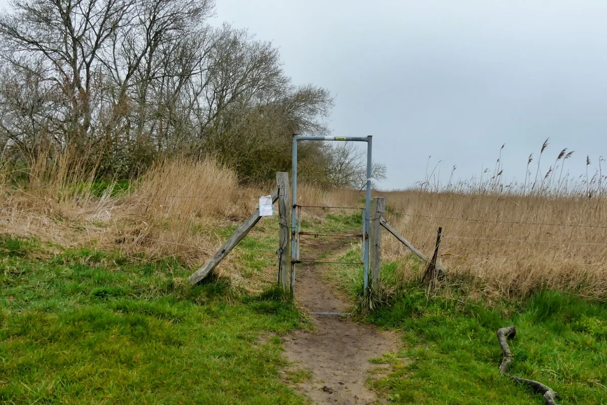
After a section of grassy path, you have to pass through a gate and cross a pasture. Unfortunately, I didn't come across any cows, sheep or other animals, so I can't say who is grazing here.
Nature here is determined by the wind and the salty air.
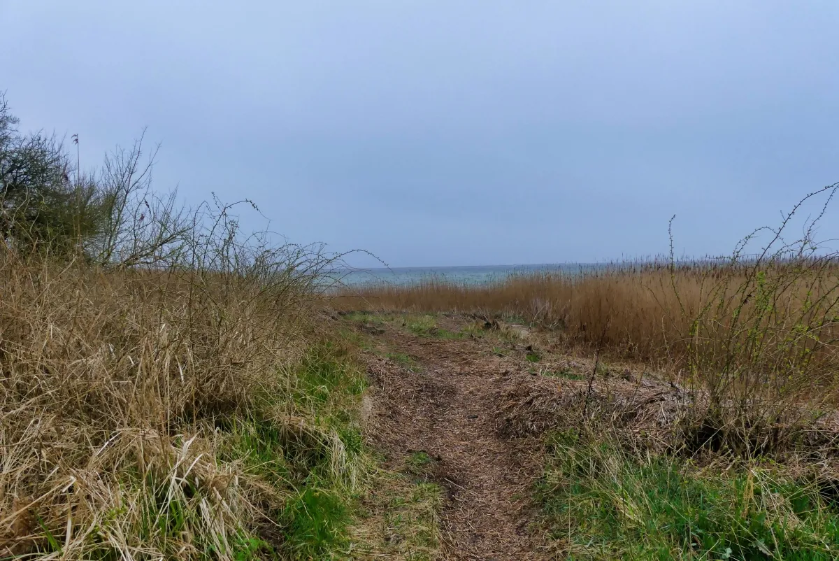
After leaving the pasture again, the trail continues between reeds, some of which are as tall as a man.
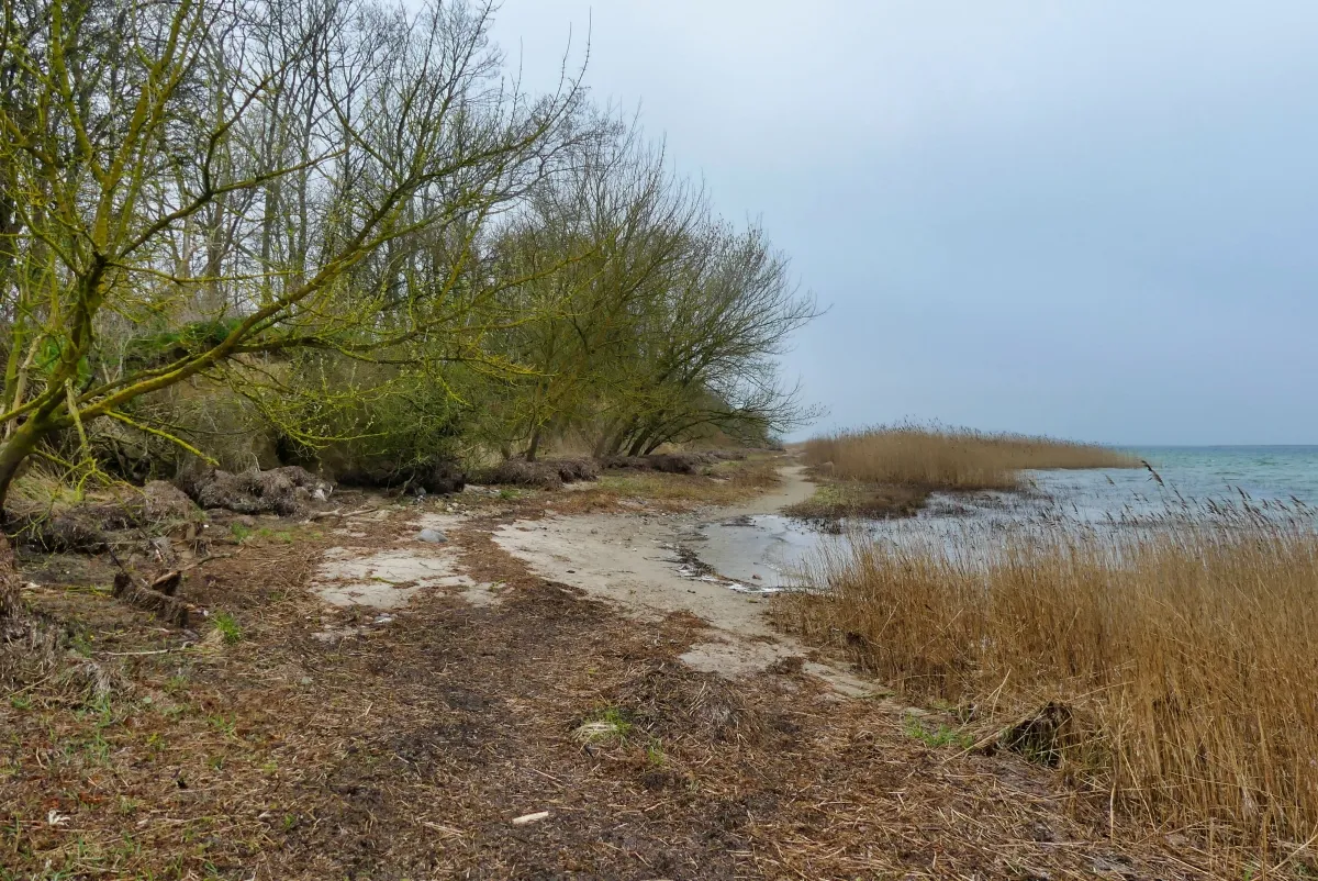
At the north-eastern end of the peninsula, the path then bends to the left. It can also be muddy here. Good footwear is therefore not only recommended in the high mountains, but also on the Baltic Sea!
An der Nordseite der Halbinsel geht man dann vorwiegend über Sandstrand, was teilweise ziemlich anstrengend ist.
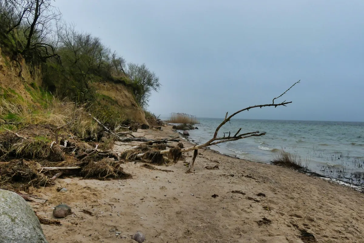
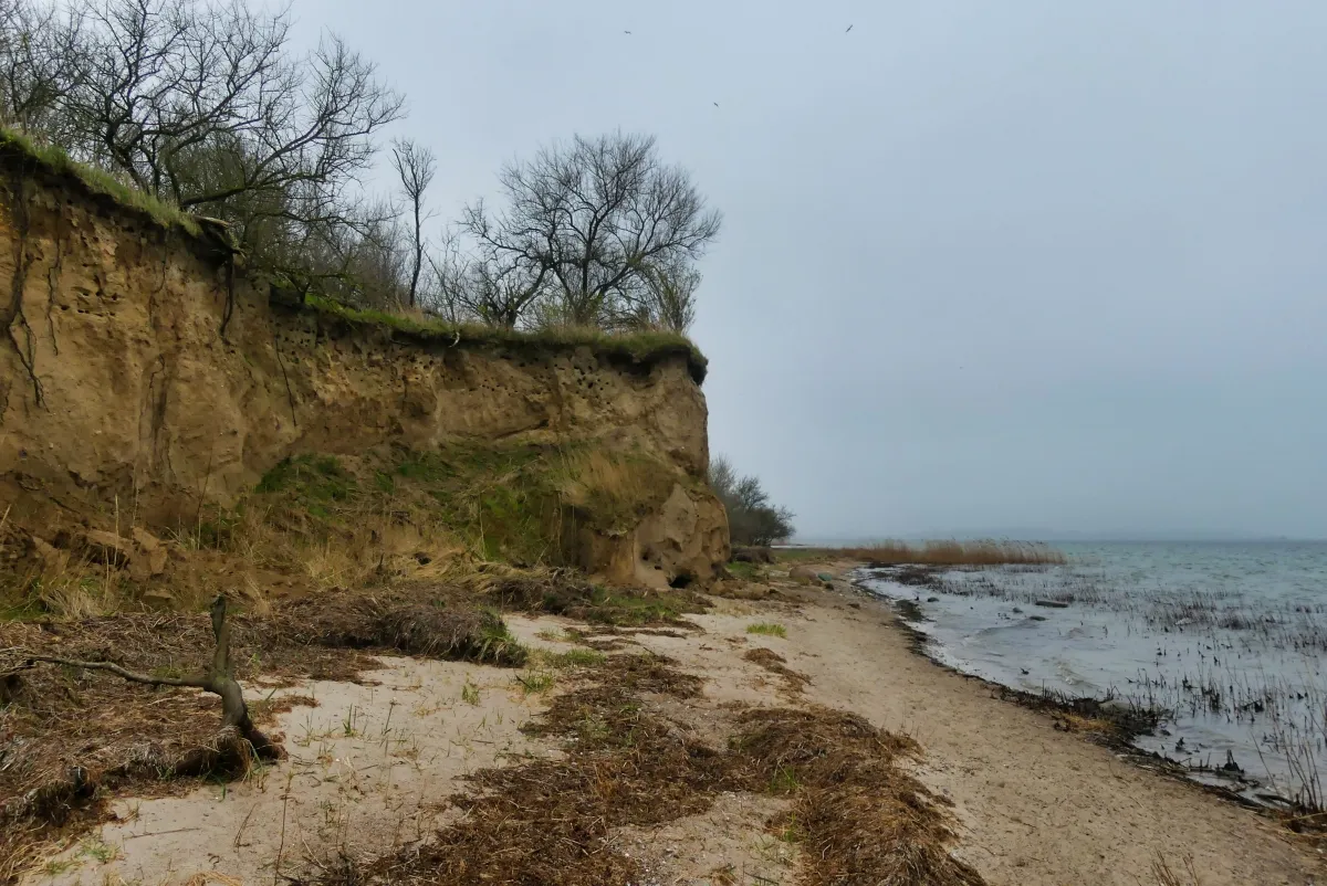
Again and again you notice that the cliffs are increasingly breaking away and constantly changing their shape.
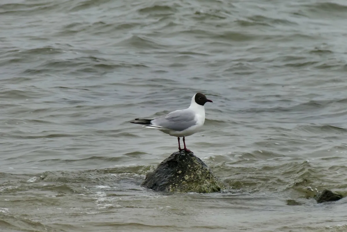
There are also plenty of opportunities for birdwatching.
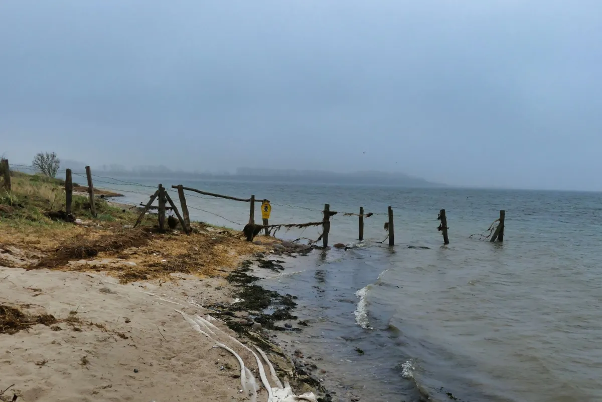
When you look at this picture, it's clear why it wouldn't be a good idea to walk here at high tide.

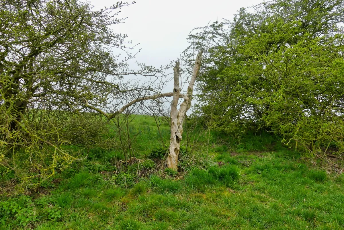
Storms and water sometimes leave behind bizarre formations. But even this amazing structure becomes smaller with every squall and every wave.

Finally you come to a pile of scree. Behind the scree there is the beach of the campsite. I am not sure if you are allowed to enter the beach. You are definitely NOT allowed to enter the campsite, therfore you have to walk back on the way that you came. Otherwise it would have been a nice circular trail.
The South-West of the peninsula is a nature conservation area called Rustwerder. It exists since 1971 and is not accessible. The area is around 20 ha (0.2 km²).
A detailled German description with some more photos and a map can be found on my website schmatz.cc.
GPS data can be downloaded here