ENGLISH VERSION (click here!)
Hello dear travel and adventure community, with this publication will end my great journey through the state of Merida, were two wonderful days full of excitement, magic and adventure, I feel sad because it comes to an end but at the same time happy because I know that soon life will take me to visit other places that are also in it, that will leave you in enchanted.
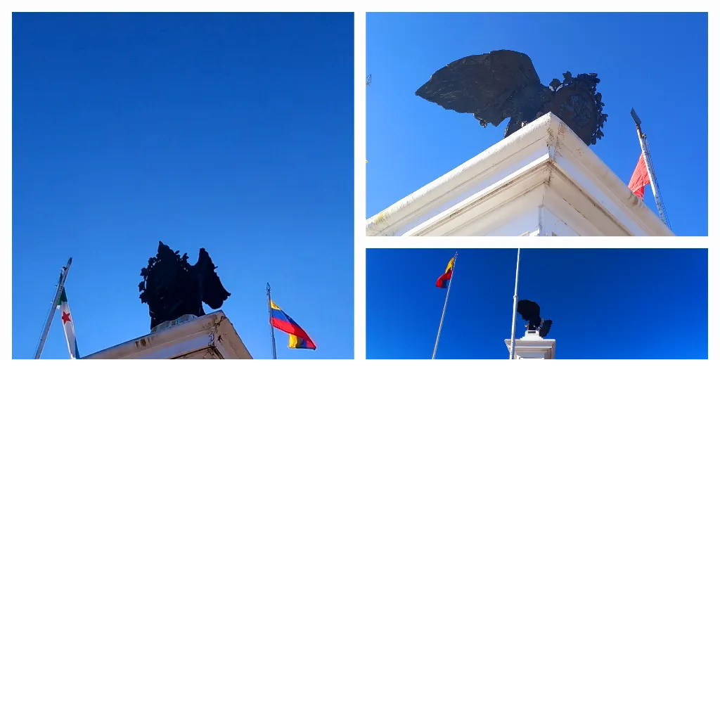
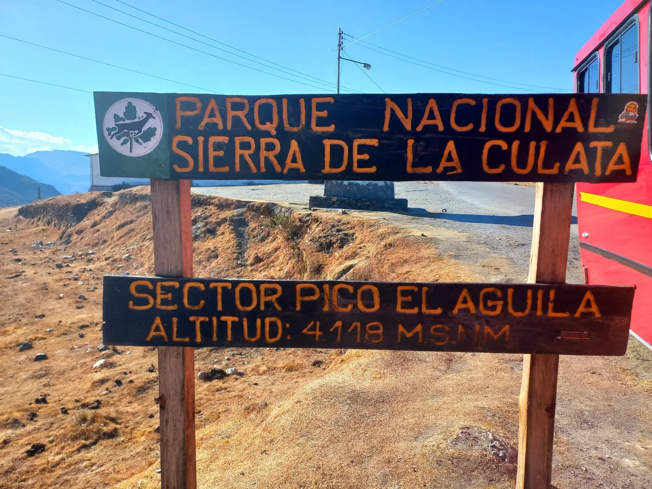
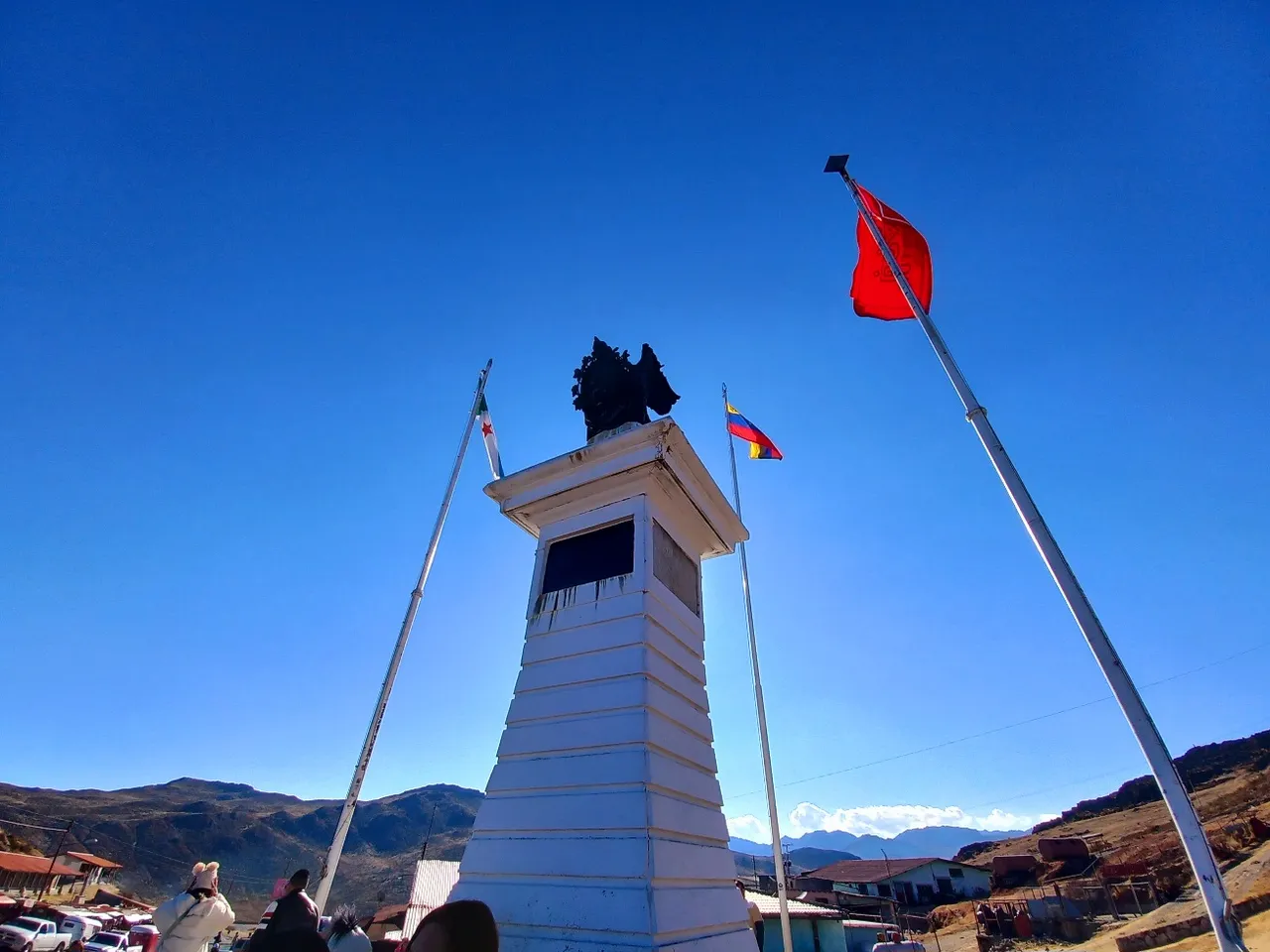
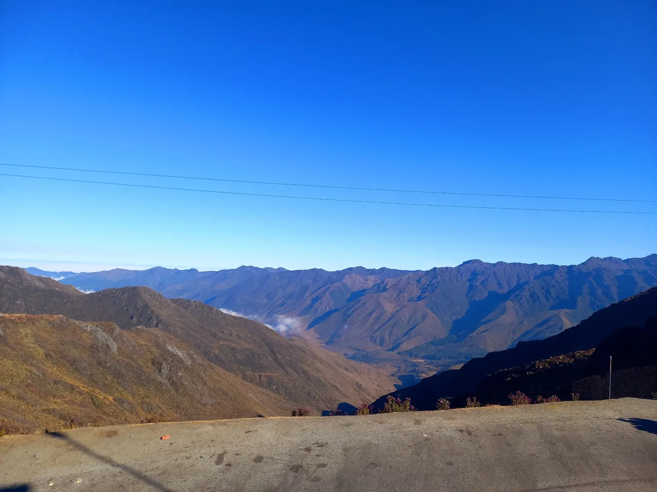
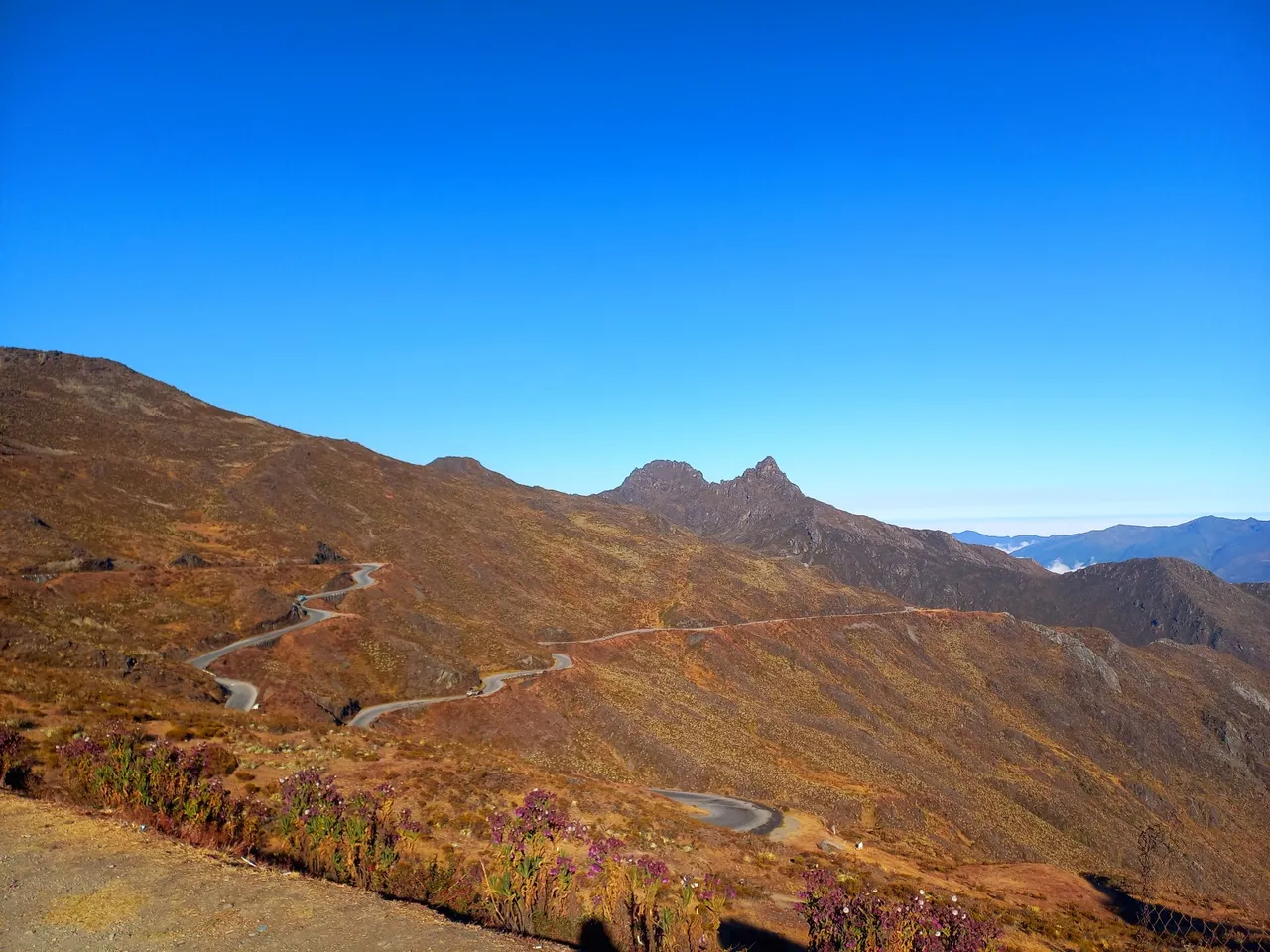
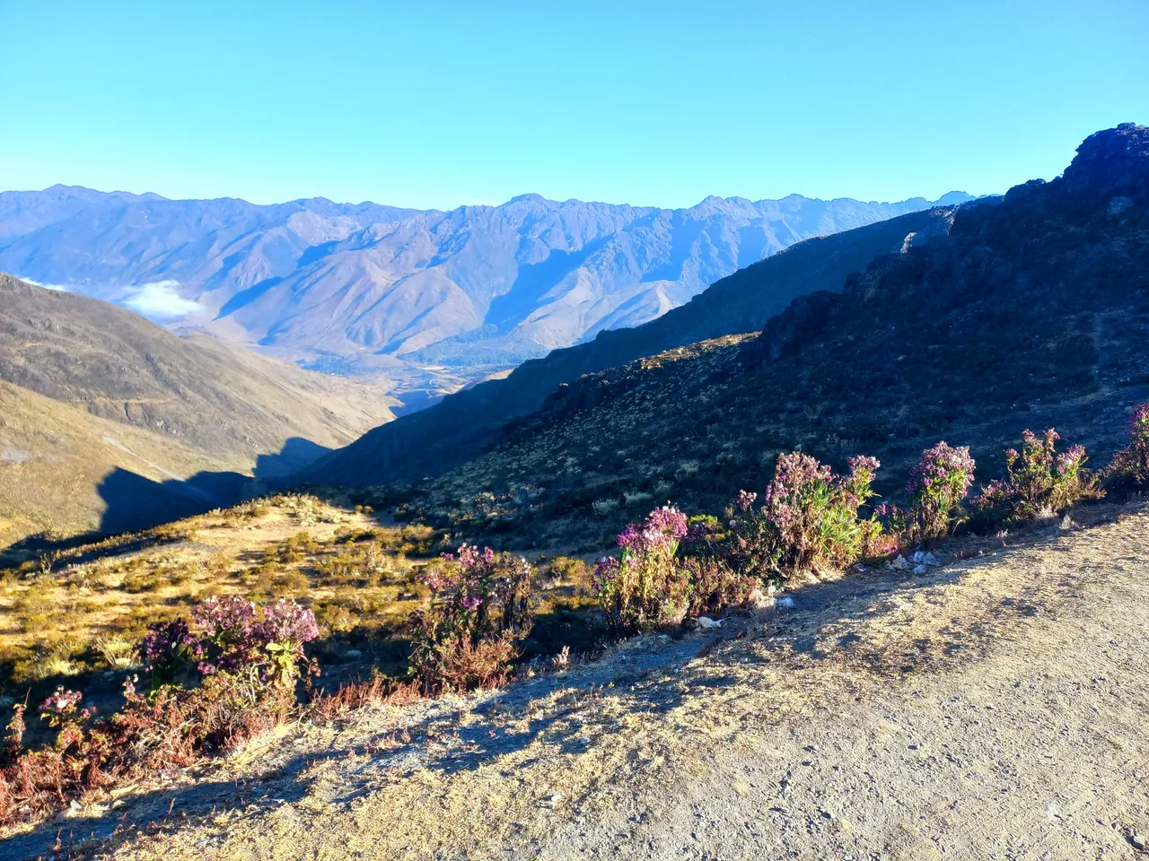
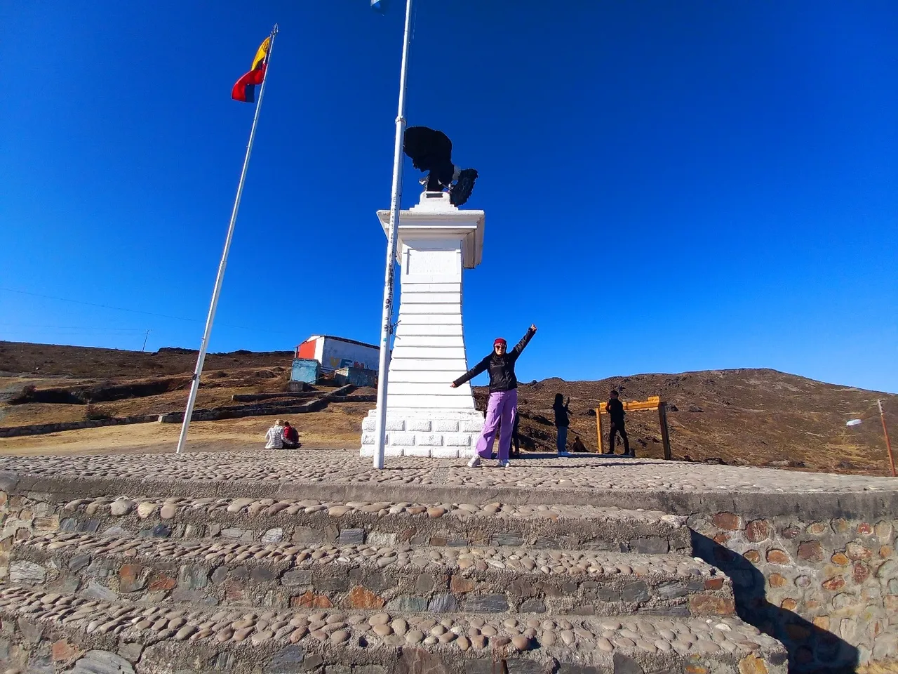
This place is called Pico del Águila or Collado del Cóndor located inside the Sierra Nevada National Park in Mérida at the highest point of the Trasandina road, specifically at 4,118 meters above sea level.
In the past I came here with my family after visiting some friends in Trujillo which is a neighboring state and is connected by a road with Merida, once inside its geography we traveled through the town of Timotes to visit some relatives and continued our way through the Pico del Aguila, to go through much of Merida and reach Chiguará site where my paternal grandparents grew up, lived and fell in love.
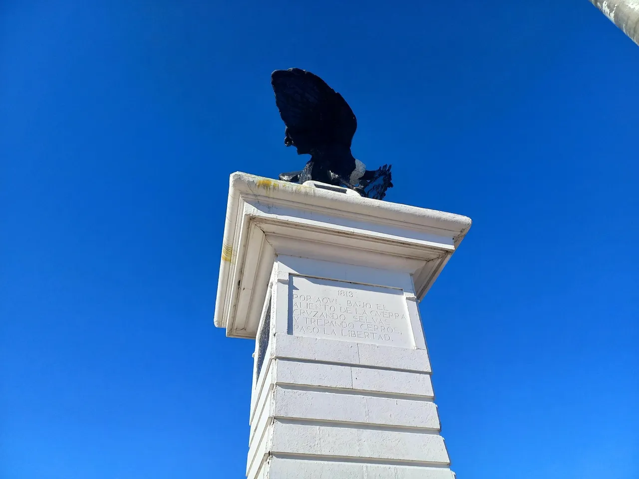
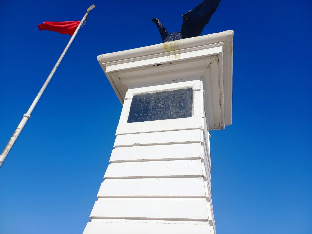
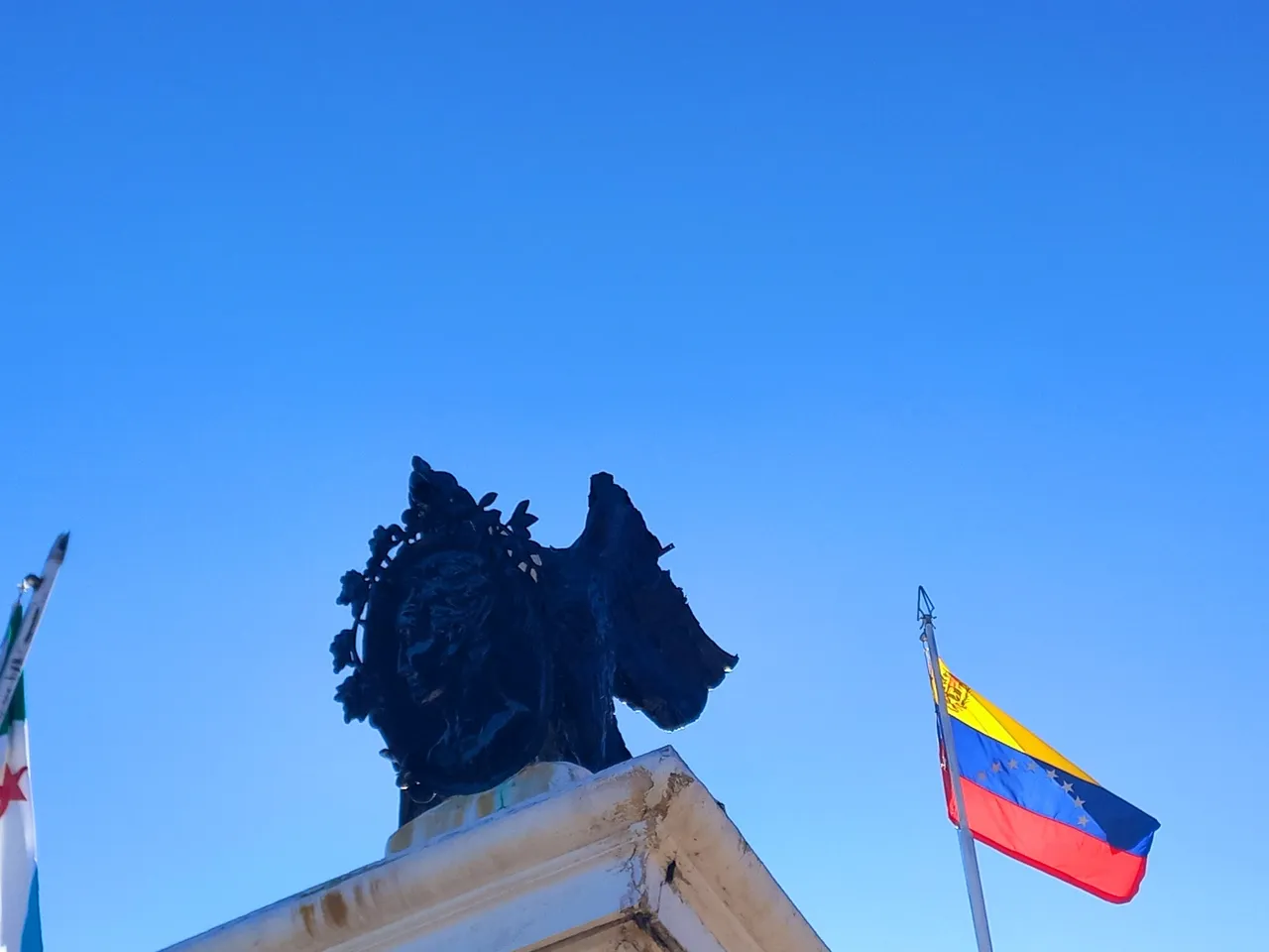
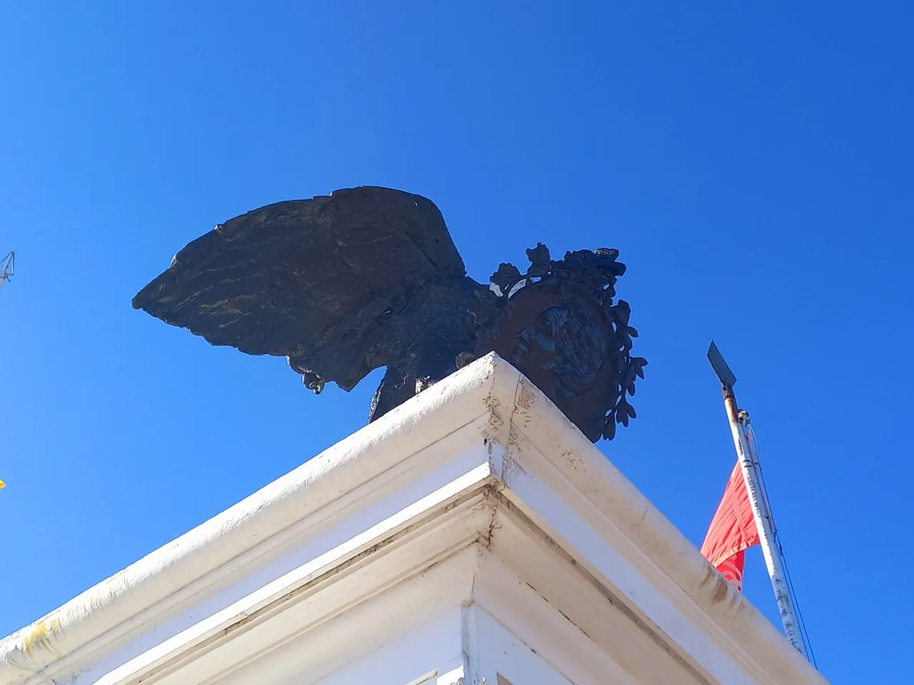
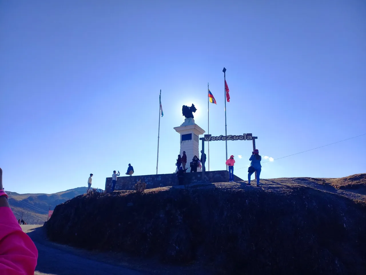
At this point we find a monument of great height in honor of the Condor of the Andes the largest bird on the planet that can fly at great heights and is currently in danger of extinction, the carries in its beak has a coin with the face of Bolivar that also represents the passage of the Liberator by the state of Merida at the time of the Independence of Venezuela.
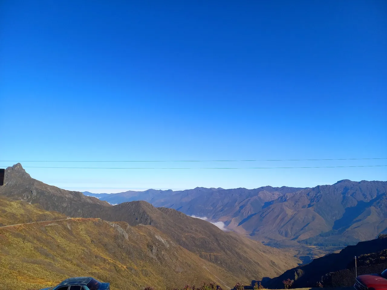
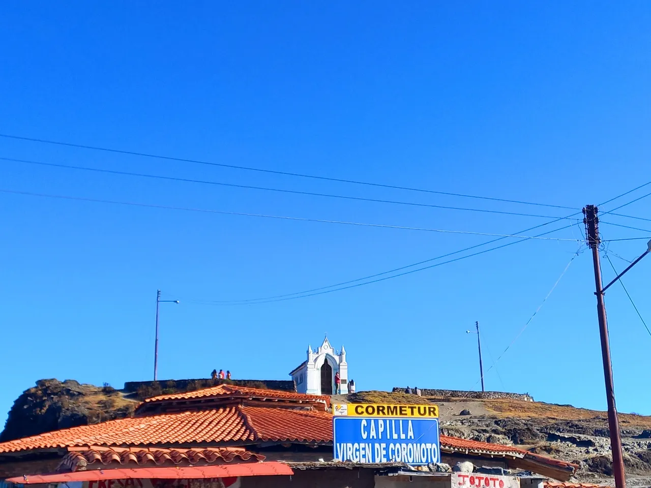
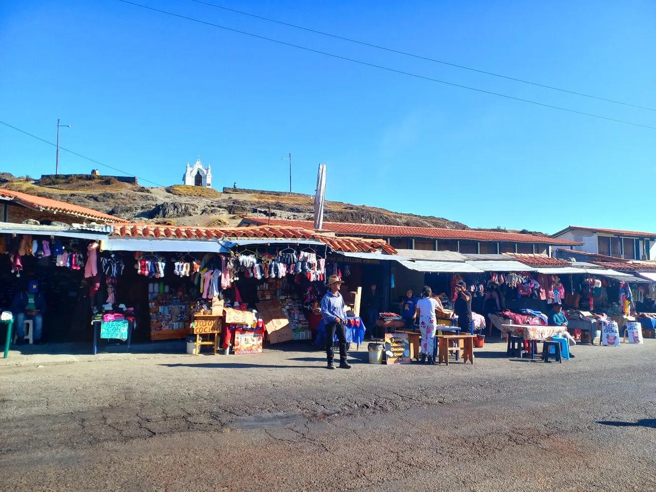
That day the weather was sunny, not so cold and somewhat warm to tell the truth, although in other months of the year you can experience a lot of cold, fog and even some snowfall if you have a little luck, there is a great view of the road between the mountains that comes from Timotes also has a Chapel of the Virgin of Coromoto on a high hill and by this point I did not want to walk anymore, as I spent the day touring places and my feet were exhausted.
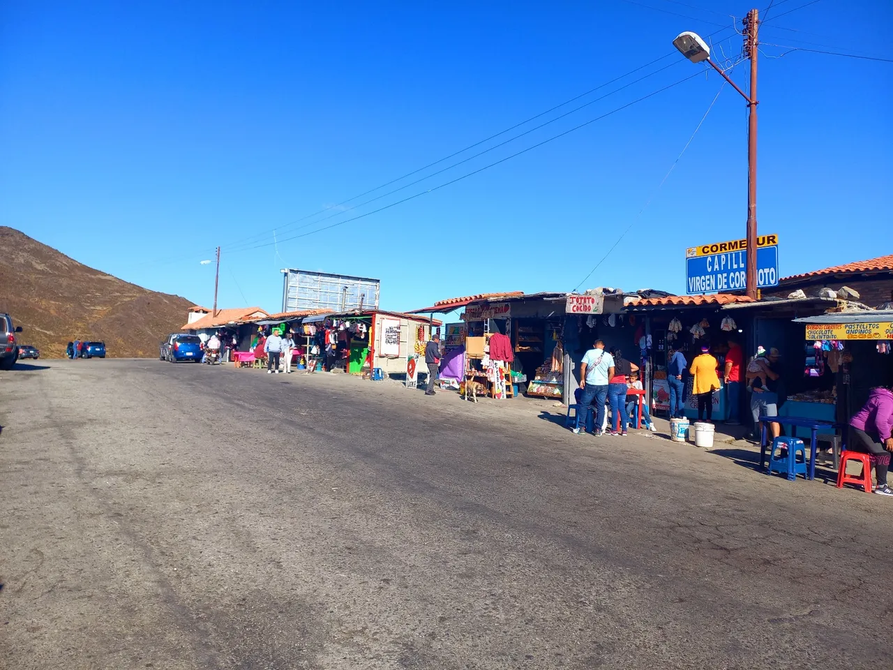
On the other side of the road there were some stalls selling handicrafts, sweets, jojoto cocido, coffee or parillas in case anyone wanted to taste or buy any of them.
Then we began to descend the mountains, to go home which is located in Zulia State, it was a great trip full of experiences and incredible places that I carry in my mind as a beautiful memory and I want to visit again soon.
See you next time! Kisses.
Photographs taken with a Samsung Galaxy A22.
Content of my property.
Translation by Deepl
Hola querida comunidad de viajes y aventuras, con esta publicación finalizará mi gran recorrido por el estado Mérida, fueron dos maravillosos días llenos de emoción, magia y aventura, me siento triste porque llegue a su fin pero a la vez feliz porque se que pronto la vida me llevará a recorrer otros lugares que también se encuentran en el, que los dejará en encantados.
Este lugar lleva por nombre Pico del Águila o Collado del Cóndor ubicado dentro del Parque Nacional Sierra Nevada en Mérida en el punto más alto de la carretera Trasandina específicamente a 4.118 m.s.n.m.
En el pasado venía acá con mi familia luego de visitar algunos amigos en Trujillo que es un estado vecino y que se conecta mediante una carretera con Mérida, una vez dentro de su geografía recorriamos el pueblo de Timotes para visitar a algunos parientes y continuamos nuestro paso por el Pico del Águila, hasta recorrer gran parte de Mérida y llegar a Chiguará sitio donde crecieron, vivieron y se enamoraron mis abuelos paternos.
En este punto encontramos un monumento de gran altura en honor al Cóndor de los Andes el ave más grande del planeta que puede volar en grandes alturas y se encuentra actualmente en peligro de extinción, el lleva en su pico tiene una moneda con la cara de Bolívar que también representa el paso de El Libertador por el estado Mérida en la época de la Independencia de Venezuela.
Ese día el clima estaba soleado, no tan frío y algo caluroso a decir verdad, aunque en otros meses del año se puede experimentar mucho frío, neblina y hasta alguna nevada si se tiene un poco de suerte, hay una gran vista de la carretera entre las montañas que proviene desde Timotes también posee una Capilla de la Virgen de Coromoto en una colina alta y para este punto ya no quería caminar más, ya que pasé el día recorriendo lugares y mis pies estaban agotados.
Del otro lado de la carretera habían algunos puestos de ventas de artesanías, dulces, jojoto cocido, café o parillas por si alguien quería degustar o comprar alguno de ellos.
Luego empezamos a descender las montañas, para irnos a casa que se encuentra en el Estado Zulia, fue un gran viaje lleno de experiencias y lugares increíbles que los llevo en mi mente como un recuerdo hermoso y que deseo volver a visitar prontamente.
¡Hasta un próximo viaje! Besitos.
Fotografías tomadas con un Samsung Galaxy A22.
Contenido de mi propiedad.
Traducción por: Deepl