 You don't see that every day; a road built around a tree.
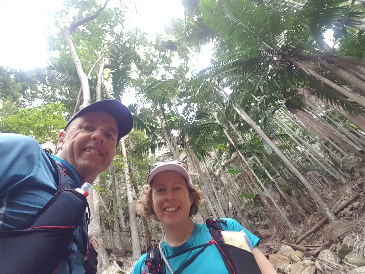
This was one of the first summit hikes my partner and I did together a few years back. Covid interstate travel restrictions had stopped any of our bigger adventures so we started picking off lots of the local summits we had not done.
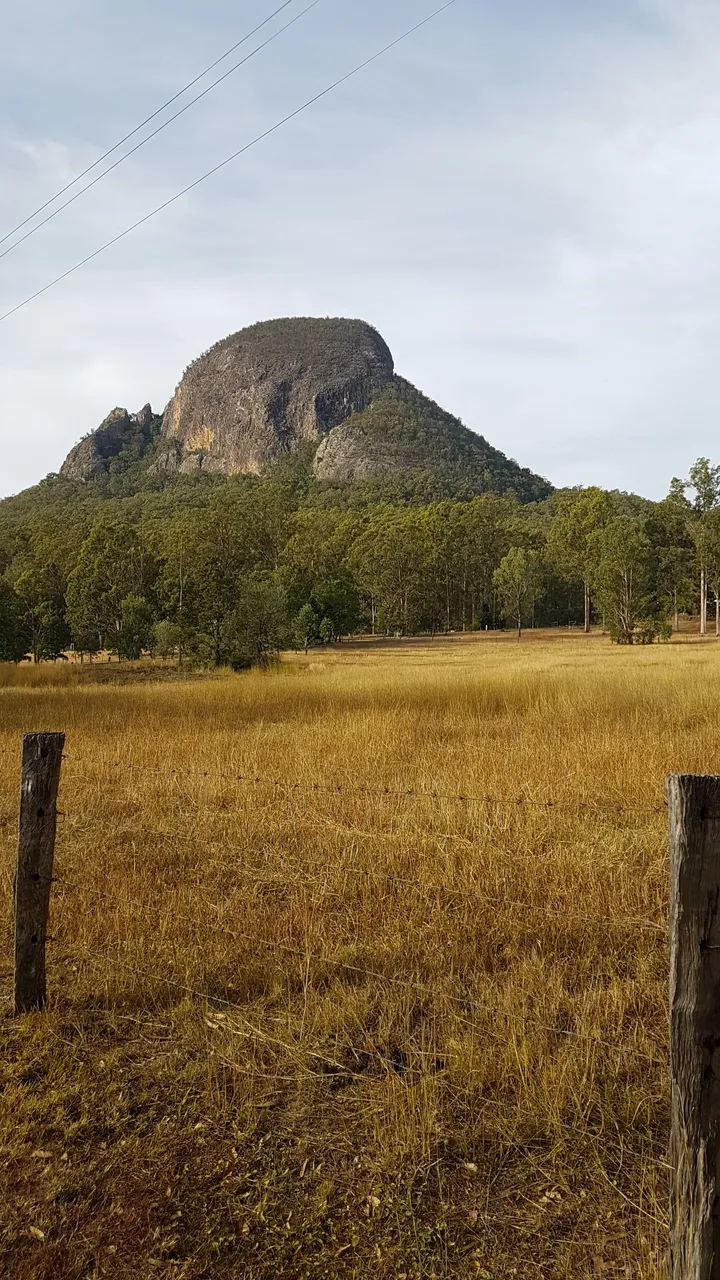 Welcome to Mt Greville: 760 metres above sea level, 100km south west of Brisbane and part of the Moogerah Peaks National Park in the Scenic Rim Council Area. The Aboriginal (Ugarapul) people called this peak Moogerah meaning "Thunder" but they also called other peaks nearby Moogerah so that's why European Settlers called the whole area Moogerah Peaks National Park. (Info Source: Qld National Parks.)
 This should be fun!
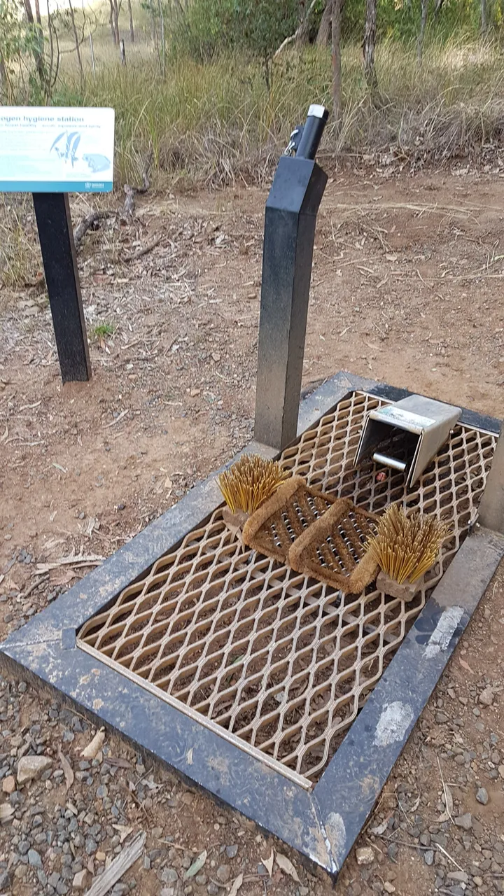 Boot wash station (designed to reduce the spread of certain weeds).
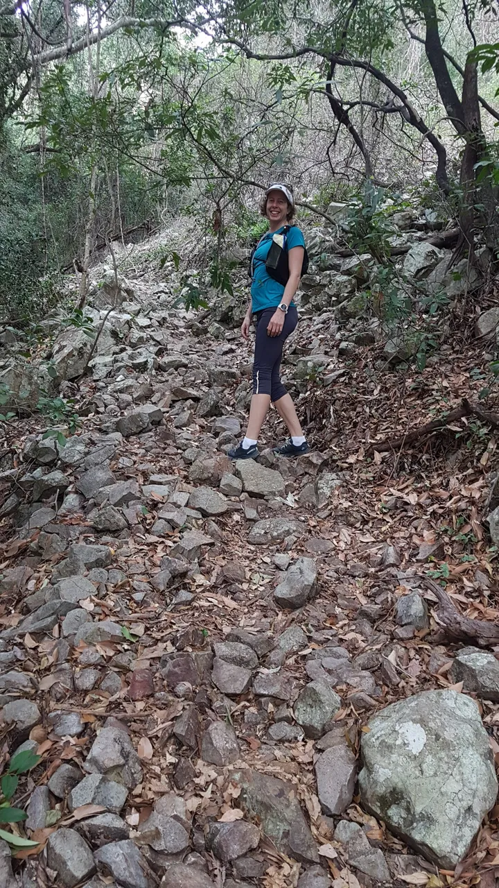 Easy enough incline to start off, but you had to pay attention where you put your foot with all the rocky terrain.
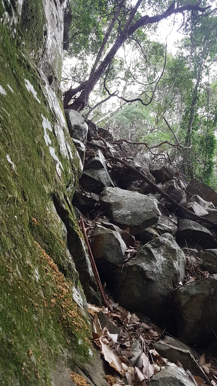
 It definitely got more technical heading into Palm Gorge.
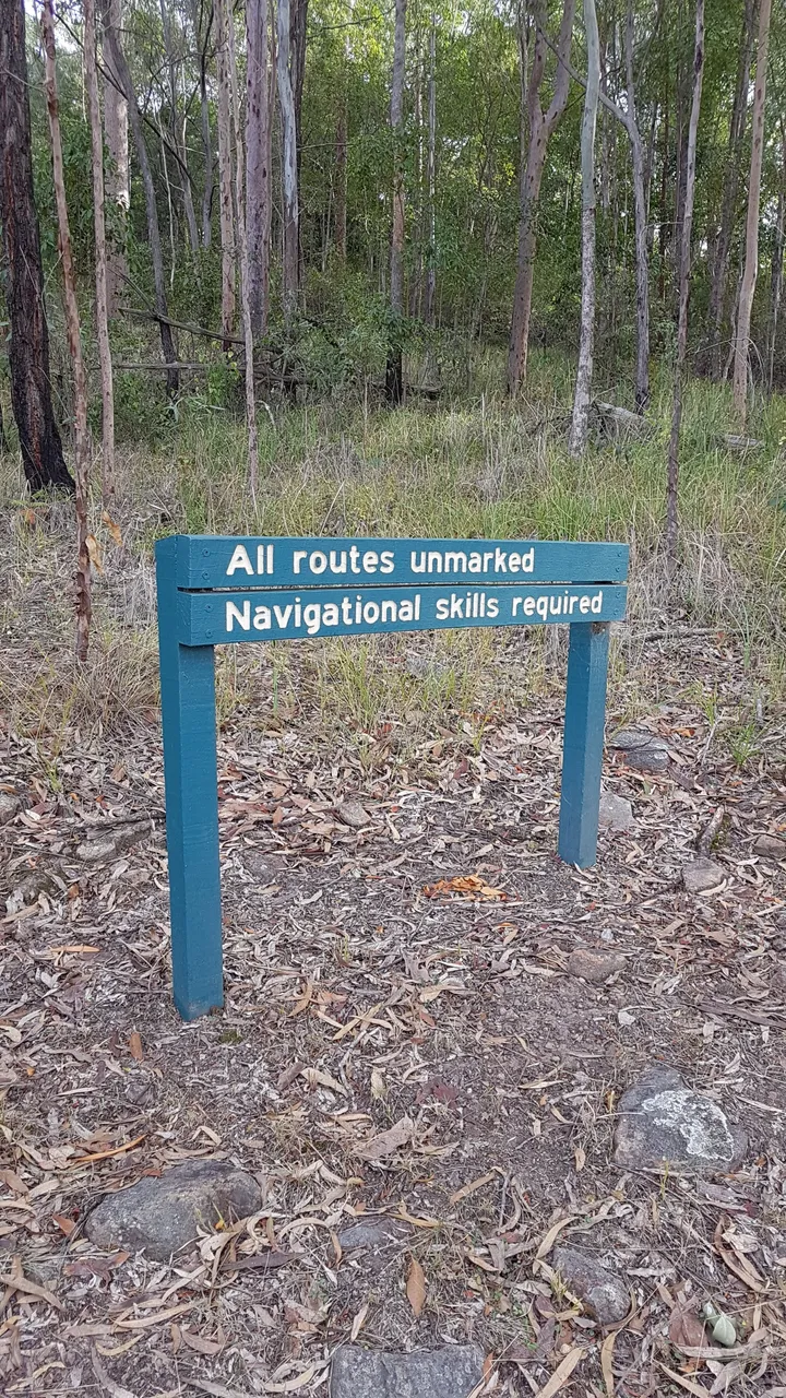
 No markers but basically you just make your way up the middle of the (steep!) gorge.
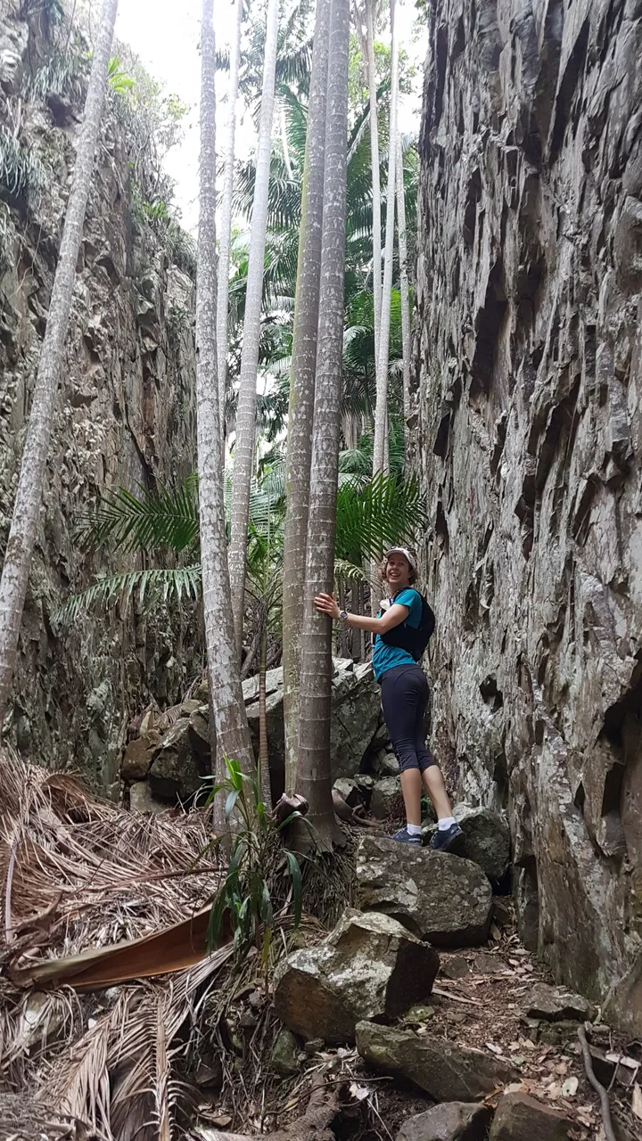
 That why they call it Palm Gorge: palms are everywhere between all the loose rock.
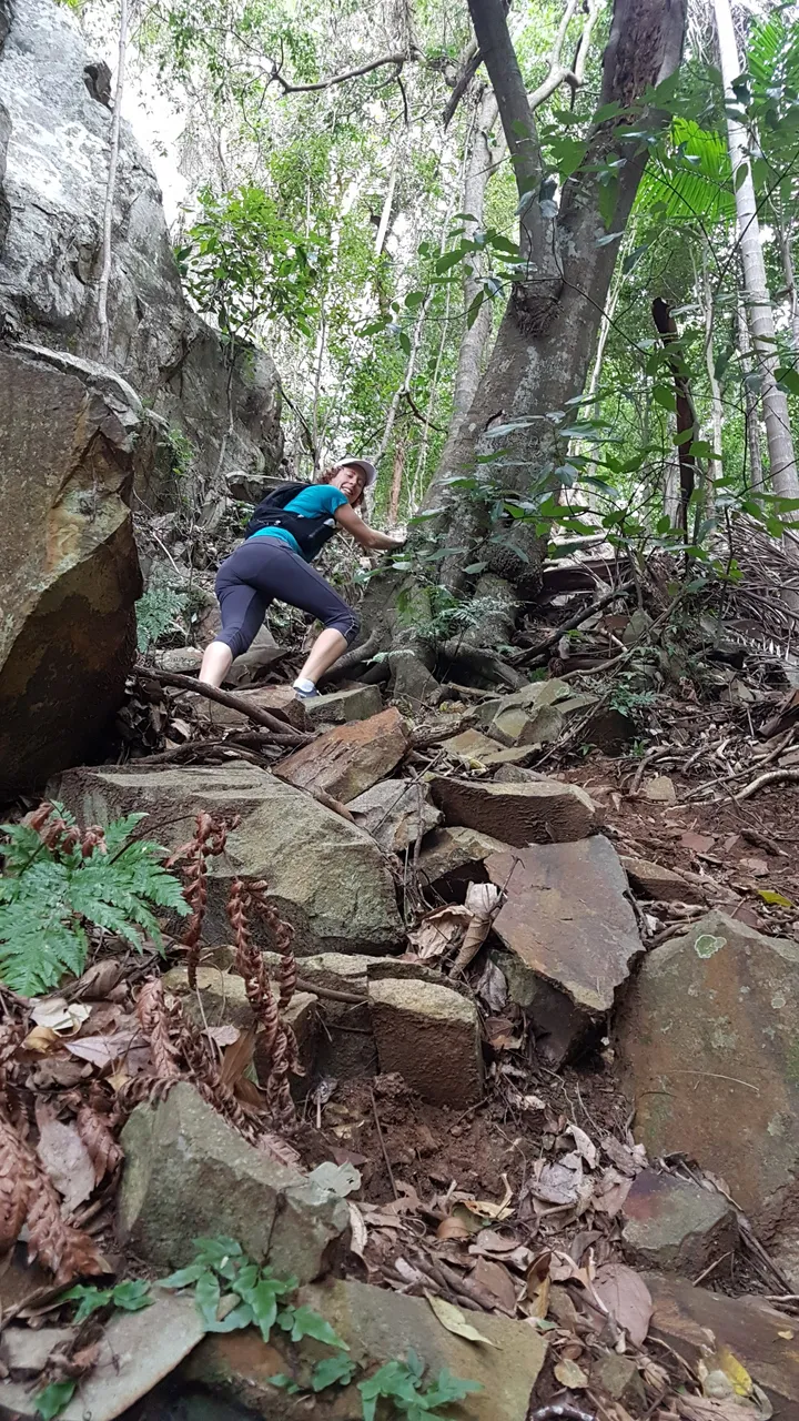
 There were a few challenging sections but all good rock scrambling fun.
 The Gorge walls were pretty high so we were always on the look out for loose rocks and other hikers above and below.
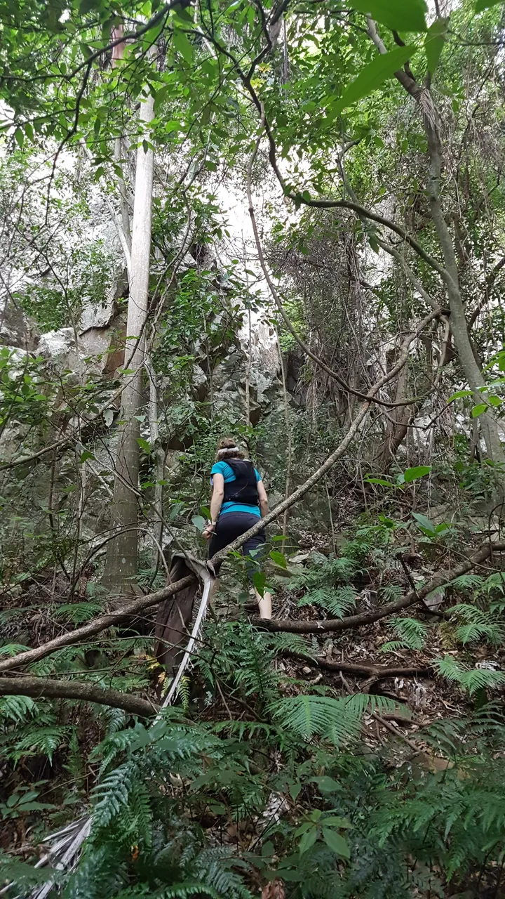
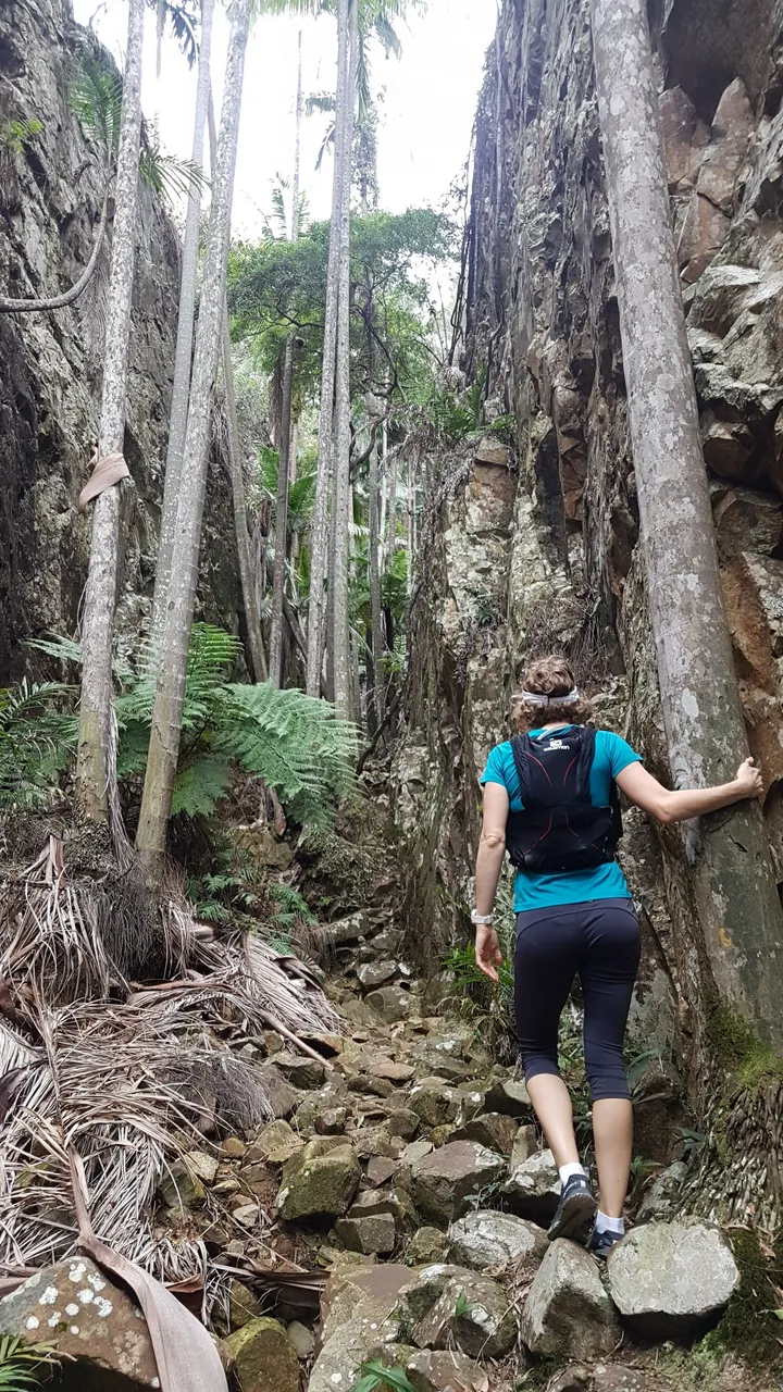 At times it was steep enough and/or technical enough that we had to hold onto trees just to keep our balance.
 Baby View Lookout
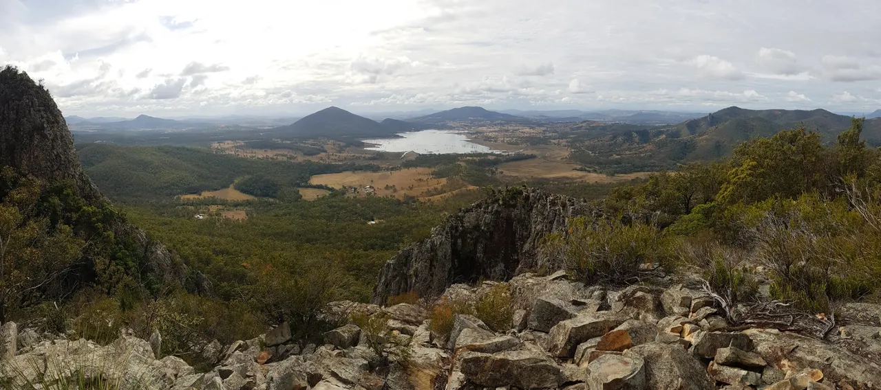
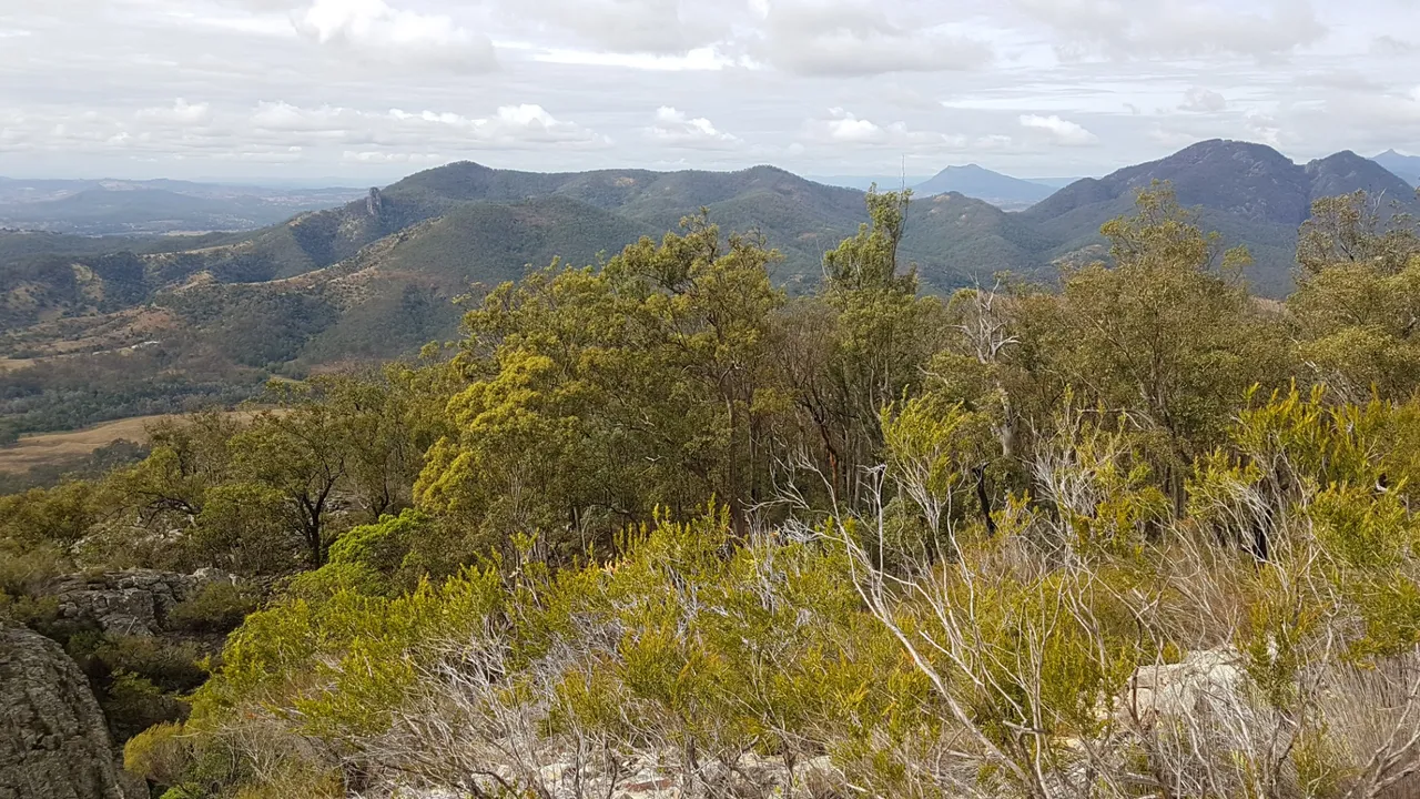
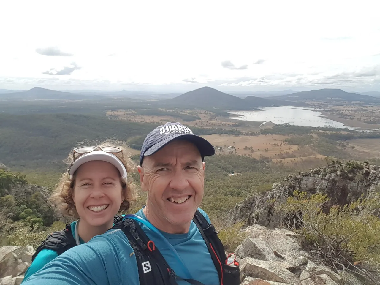
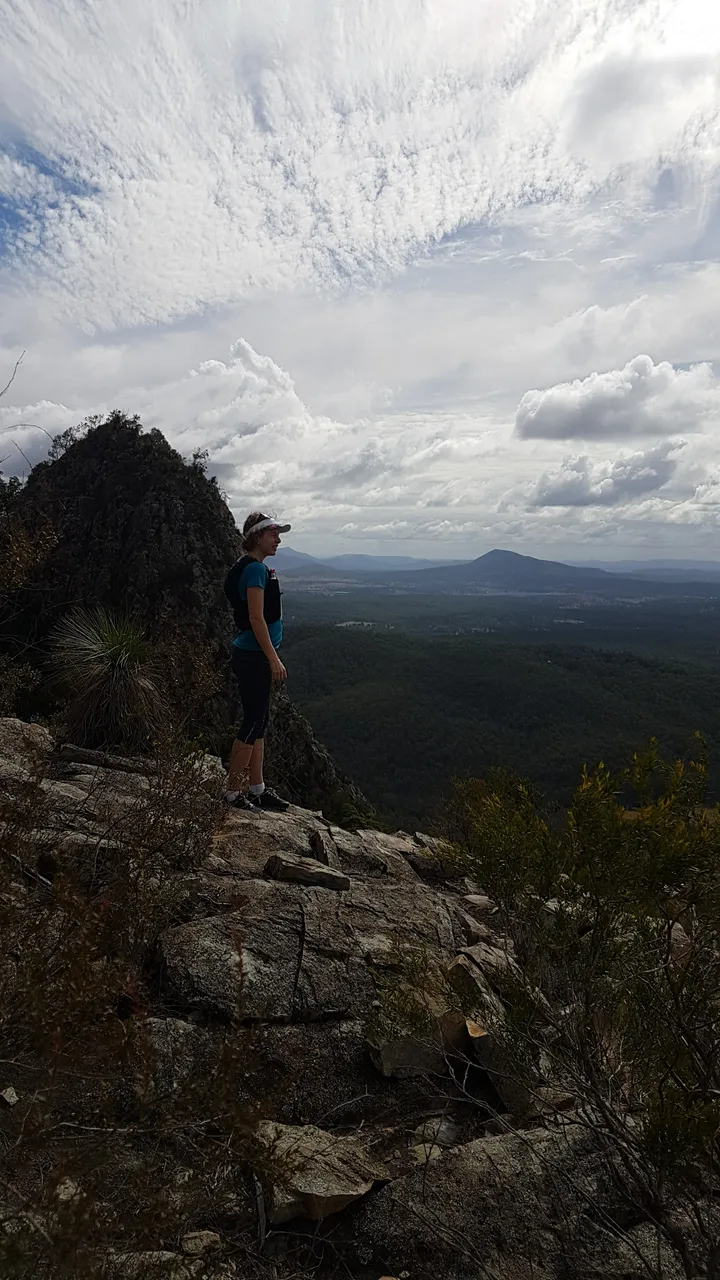
 We made it to the top where there was a great view of the local area.
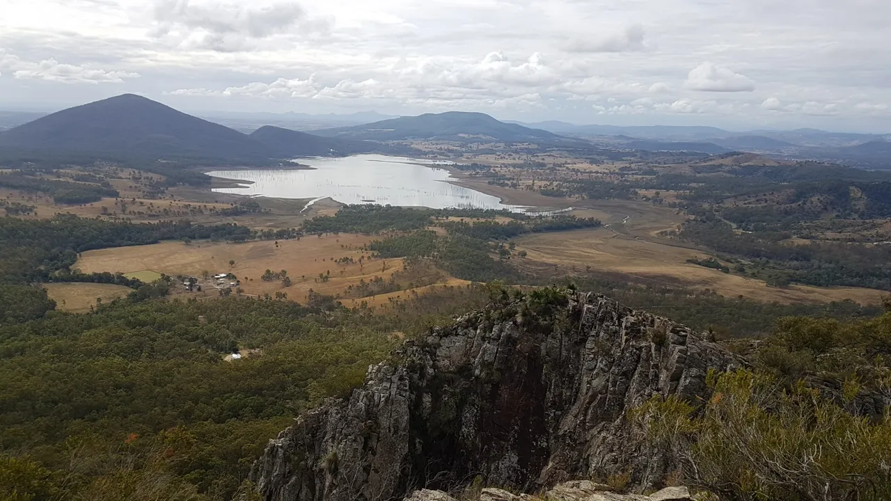
 Moogerah Dam in the background and Mt Edward in the middle, top of photo.
 This was Slab Rock Lookout where we stopped for a look on the way down.
 Some different types of clouds rolling in too. Would be a pretty slippery hike if it rained!
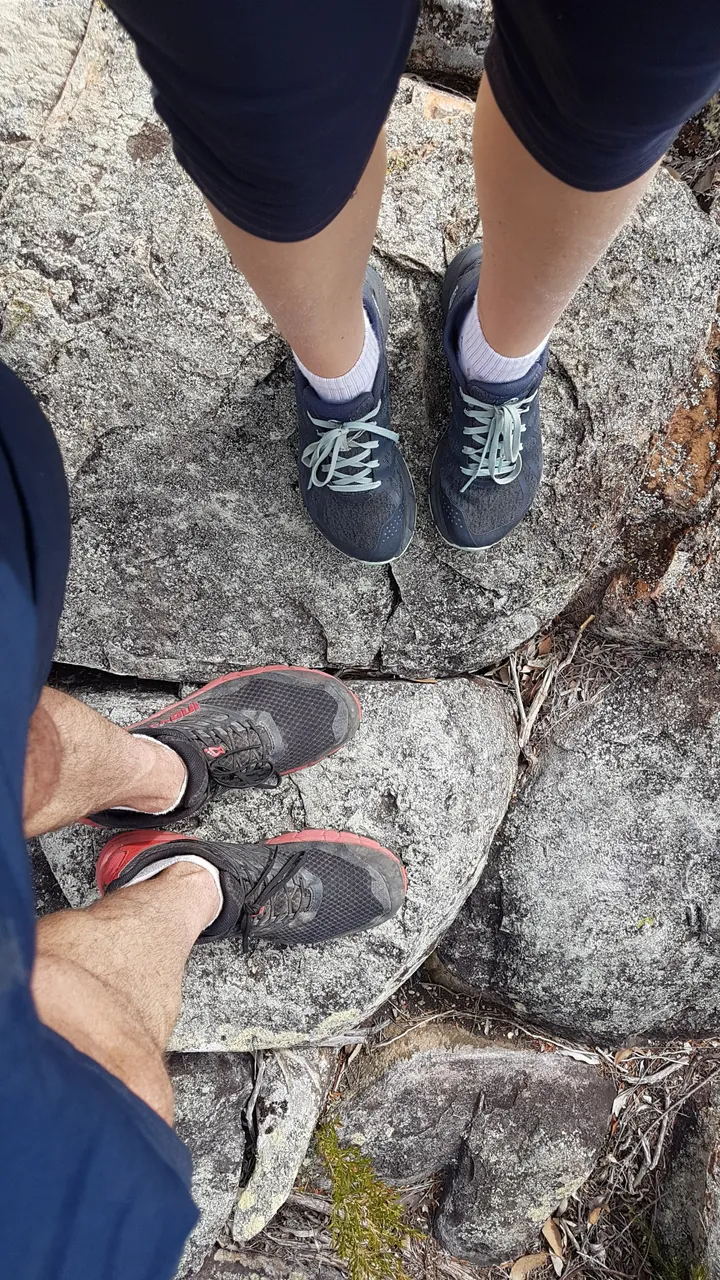 Shoe and dirty knee shot. I think from memory I had a dodgy right ankle and was leading with my left leg all the time on the rock scrambling.
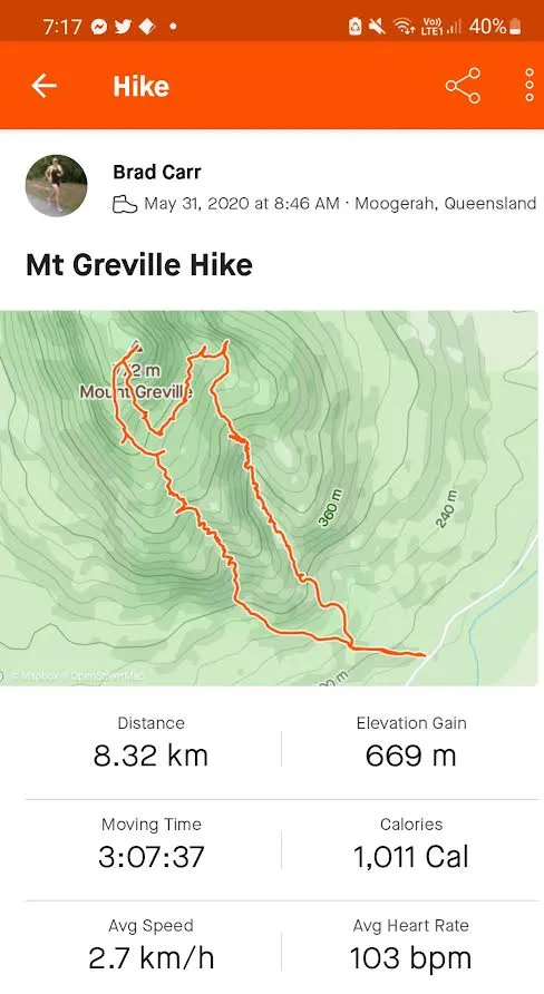 We went up Palm Gorge on the left side of Strava map, then down Waterfall Gorge on the right, via the Slab Rock Lookout. We actually got a little off track for a bit on the way to Slab Rock Lookout but it was not too much of a problem as we could generally always see where we were heading. There was also another track along the top of the South East Ridge but Waterfall Gorge sounded way more enticing even though there were no waterfalls to be seen! I imagine the whole gorge would become a waterfall with a bit of rain.
And that's another South East Queensland summit ticked. Woo! We hope to do as many of them as we can. Do you like hiking up small or large mountains? If you do, where have you been?