English °
Deutsch
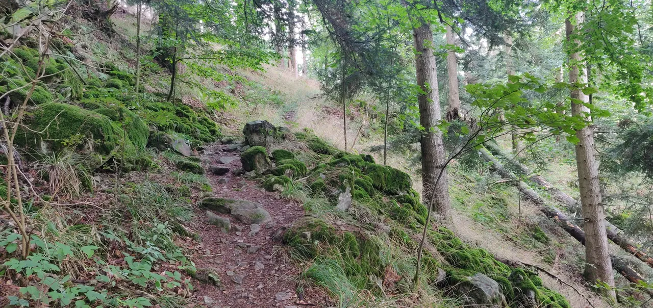
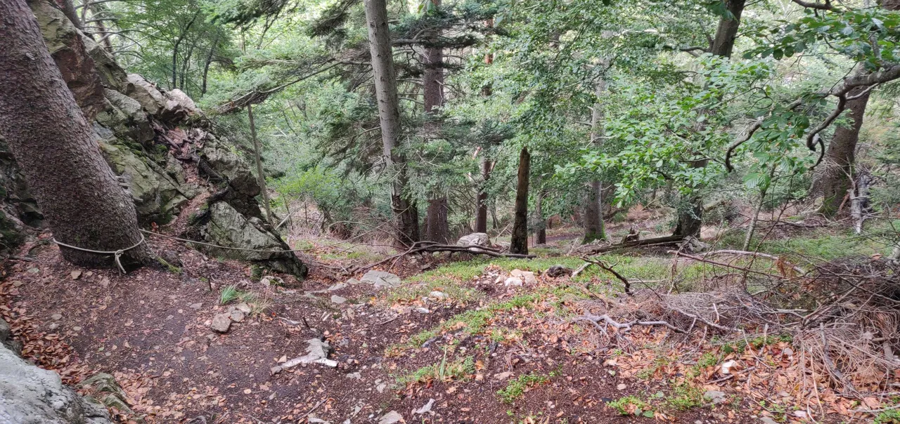
Gestern startete ich zu einer etwas schwierigeren Tour nahe Oberried. Die ersten 600 Meter mit Steigungen unter 10% waren noch gemütlich, die darauf folgenden 1,30 Kilometer führten über einen schmalen leicht steinigen Pfad und Steigungen von 15-25% hinauf.
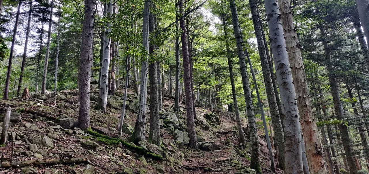
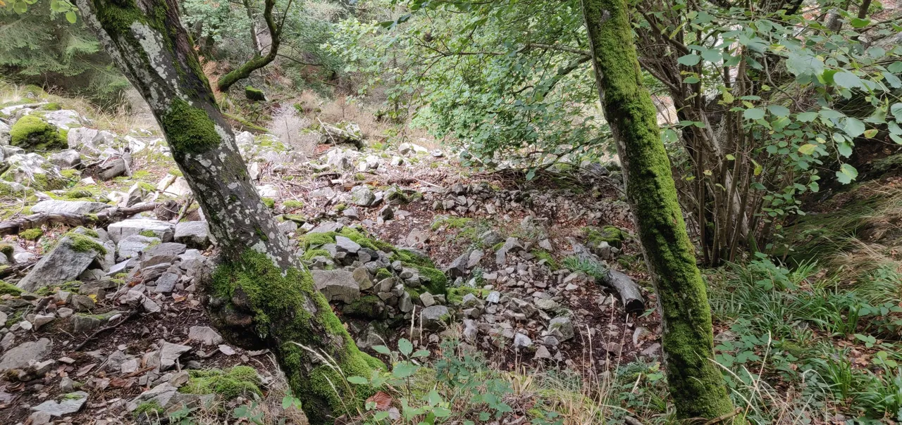
Nachdem der erste leichte Anstieg geschafft war, ging es auf einem schmalen Pfas weiter. Rechts die Felswand und links ging es mal mehr und mal weniger tief runter.
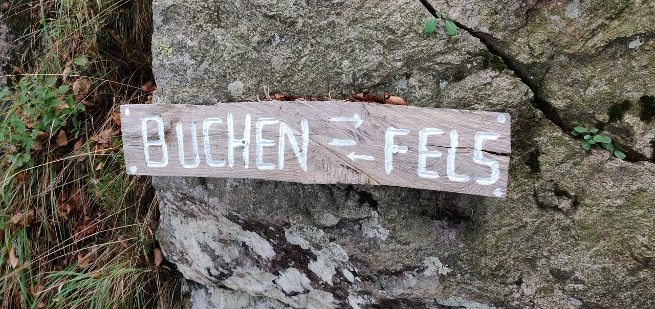
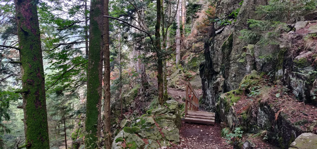
Am Gfäll gibt es einige Felsen, an denen man klettern kann. Die erste Möglichkeit wäre auf meiner Route der Buchenfels gewesen.
Hier stehe ich am Startpunkt für die Kletterer, dafür musste ich meinen Weg einige Meter nach oben hin verlassen.
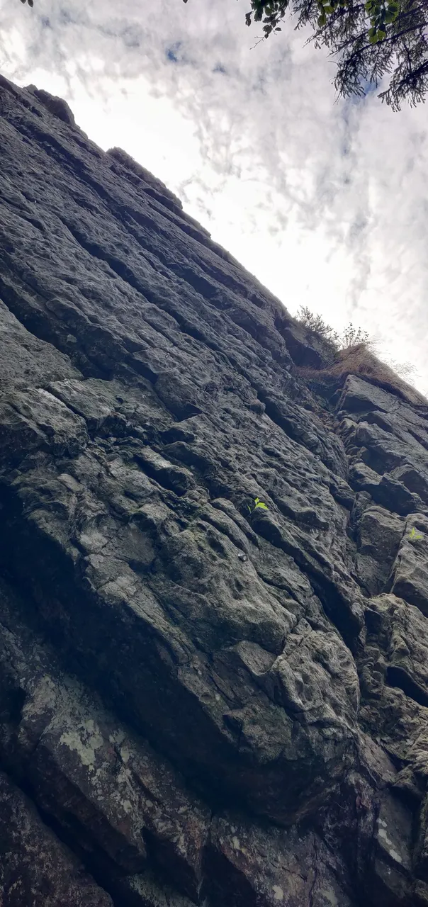
Auf dem linken Bild sind Ösen zu erkennen, die zum sichern benötigt werden. Rechts habe ich so fotografiert, dass man die Steilheit des Felsen besser erkennen kann. Der Baum steht in etwa 90° zum Boden.
Leider kann ich aktuell noch nicht klettern. Die Ausrüstung dafür liegt aber schon im Warenkorb und muss nach meiner Genesung nur bestellt werden und dann geht es auch damit los 😀.
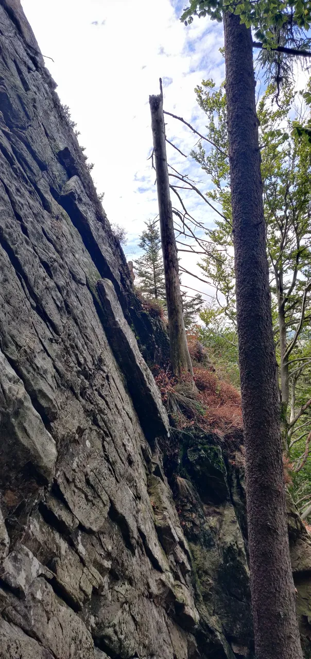
Hier stehe ich vor dem fordernden zweiten Anstieg. Es ist zwar eine Anstieg, der ohne Sicherung oder anderem Equipment bezwingbar ist, aber wer nicht absolut fit, sportlich und schwindelfrei ist, sollte sich beim Einstieg und dem Wort "Klettern" besser überlegen, ob er nicht doch den schönen Rundweg weitergehen möchte.
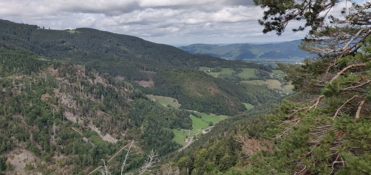
Auf halber Strecke etwa machte ich nur kurz Halt um euch dieses Foto präsentieren zu können und nicht um eine kurze Verschnaufpause zu haben 😅. Auf Bildern ist das mit der Steilheit immer so eine Sache, aber ich denke man kann ganz gut erkennen, wie steil es hier ist. Der gesamte Anstieg waren etwa 150 Höhenmeter auf ca. 830 Metern.
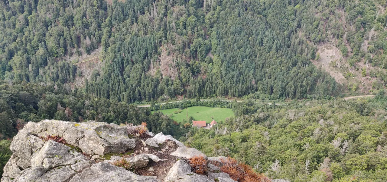
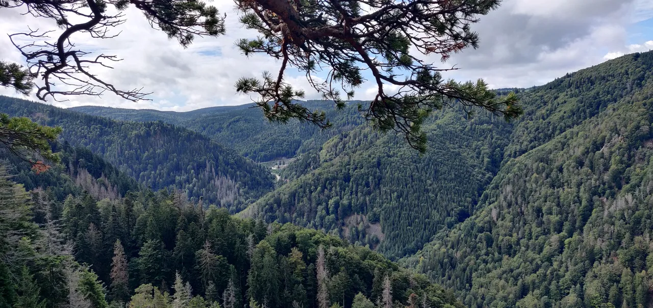
Oben angekommen, suchte ich mir ein schönes Plätzchen auf einem Felsen um eine Kleinigkeit zu Essen und Trinken und natürlich um die tolle Aussicht zu genießen. Auf dem ersten der 3 Bilder ist die Zufahrtsstraße von Oberried kommend zu sehen (Richtung Freiburg). Das zweite Bild gerade hinunter ins Tal und auf dem dritten Bild kann man noch den Steinwasenpark erkennen.
Von hier aus wanderte / kletterte ich einige Male kreuz und quer über das felsige Gebiet, bin einmal komplett vom Weg abgekommen, was nicht ganz ohne war. Dann bin ich wieder auf dem gleichen steilen Kletterweg, wie ich schon hochgekommen bin, wieder hinunter um einige Meter weiter einen zweiten Kletterweg hoch zu erklimmen.
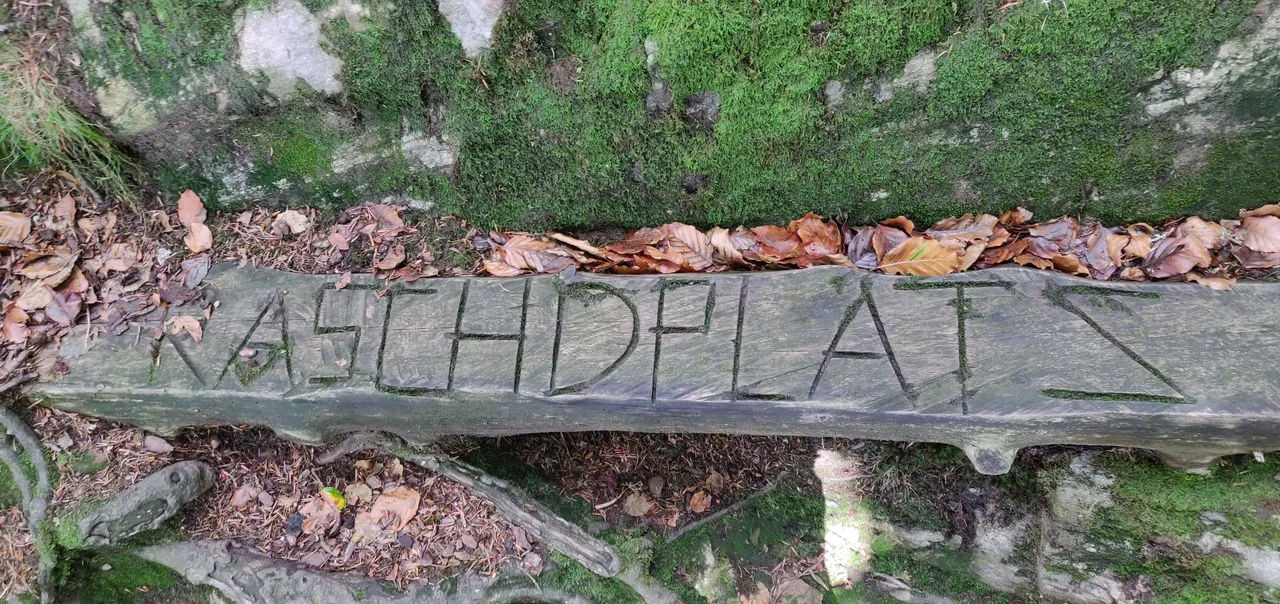
Hier gab es unterwegs ein super Raschdplatz (= badisch - auf deutsch: Rastplatz).
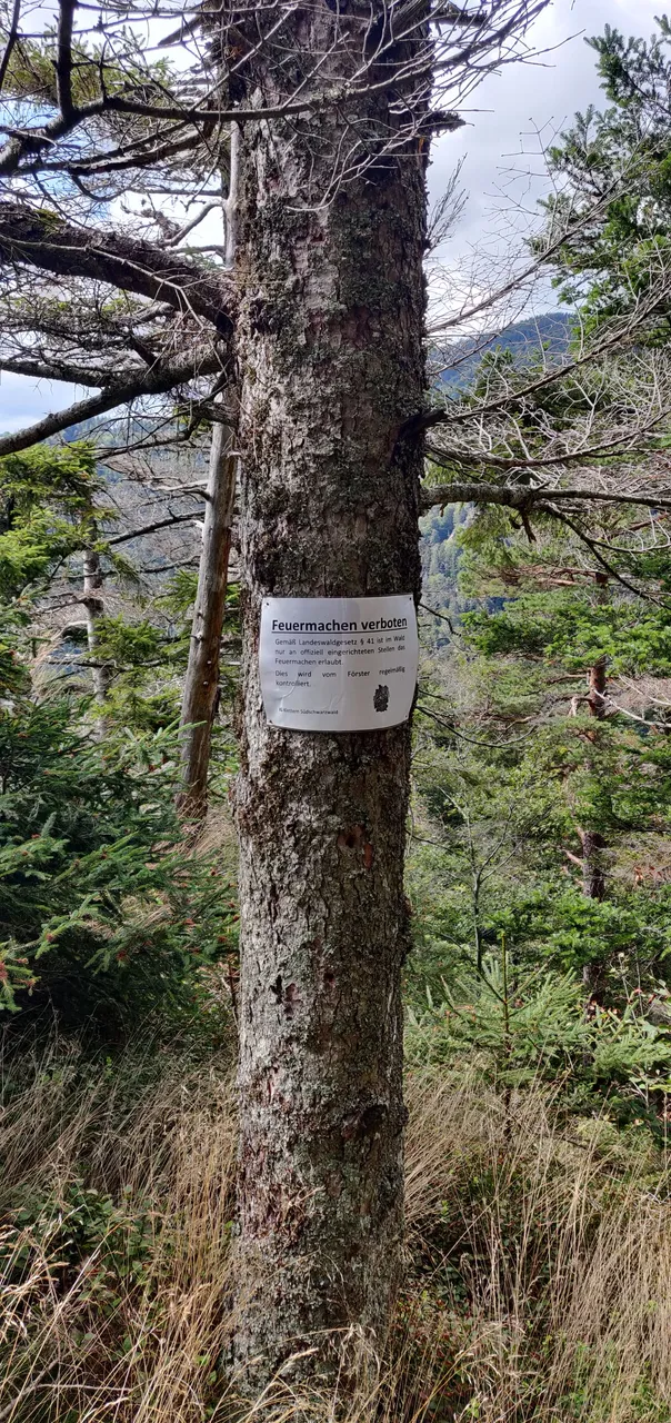
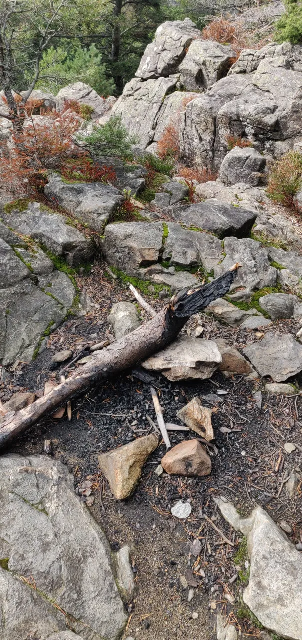
Es waren auch immer wieder Hinweisschilder zu finden, dass Feuermachen verboten ist. Nunja, 2 Meter daneben war ne Feuerstelle und das war nicht die einzige. Mehr sag ich dazu mal nicht.
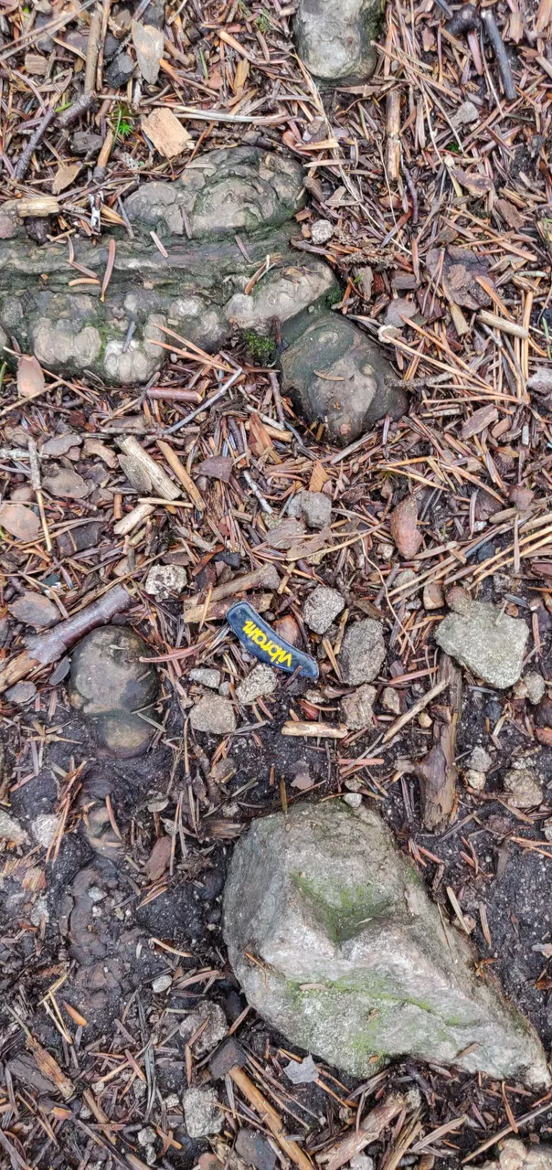
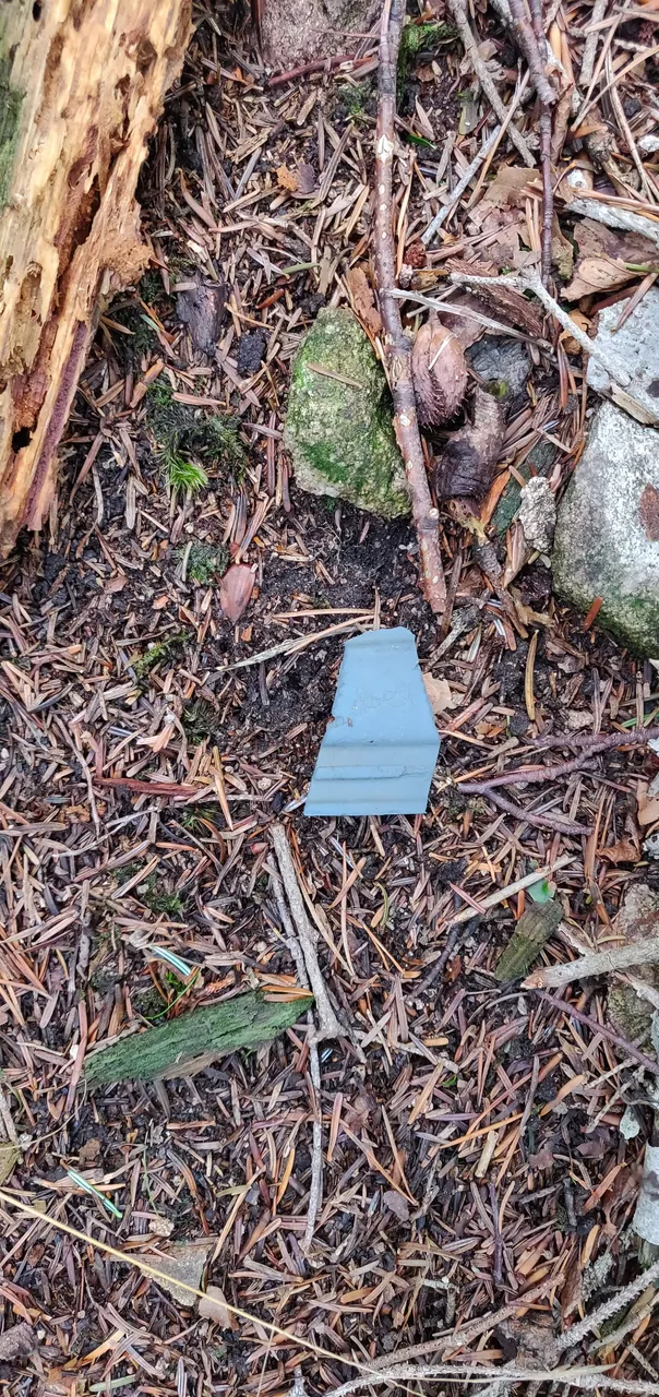
Natürlich habe ich auch wieder Müll aufgesammelt und hatte auch extra eine große Mülltüte dabei.
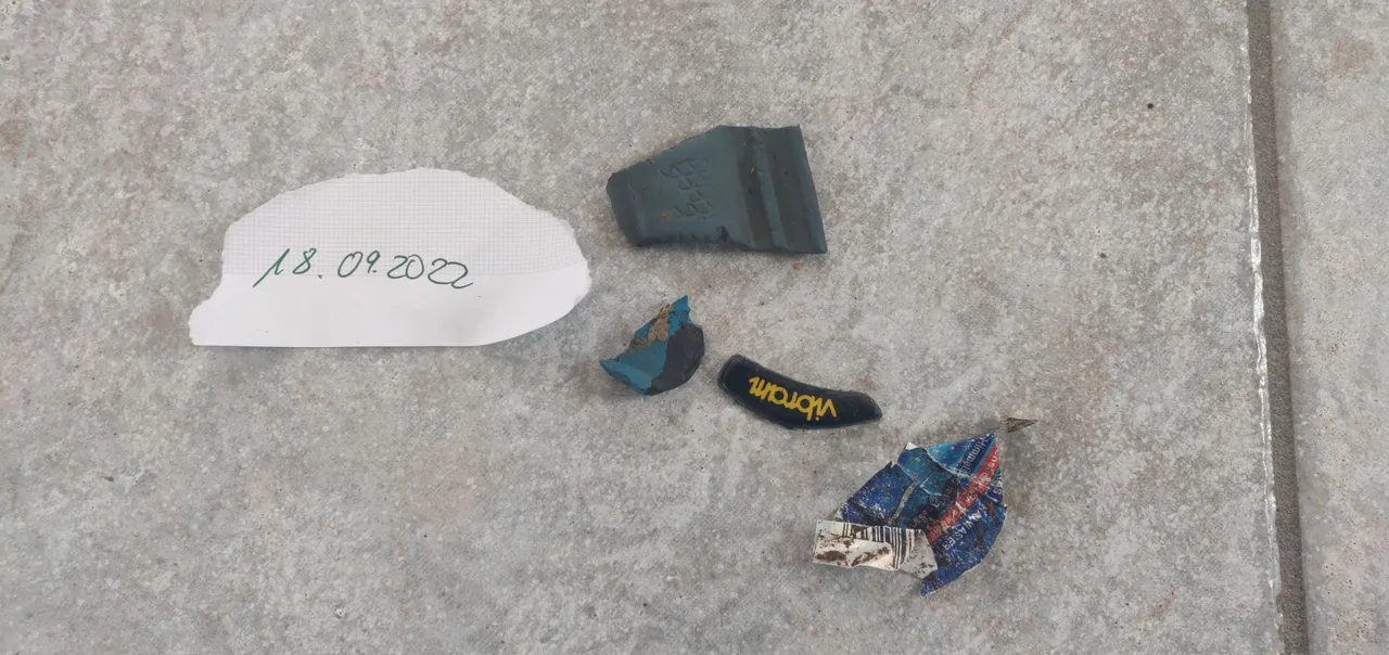
Da ich aber hauptsächlich auf schwierigeren T3 und T4 Wegen unterwegs war, wo nur fitte alpinerfahrene Wanderer bzw. Kletterer unterwegs sind, fand ich so gut wie nix.
English
Yesterday I started for a somewhat more difficult tour near Oberried. The first 600 meters with gradients below 10% were still comfortable, the following 1.30 kilometers led up a narrow slightly stony path and gradients of 15-25%.
After the first easy climb was done, we continued on a narrow path. On the right the rock wall and on the left it went down sometimes more and sometimes less deep.
At the Gfäll there are some rocks where you can climb. The first option would have been the Buchenfels on my route.
Here I am standing at the starting point for the climbers, for this I had to leave my path a few meters upwards.
On the left picture you can see eyelets, which are needed to secure. On the right I photographed so that you can better see the steepness of the rock. The tree is at about 90° to the ground.
Unfortunately, I can not climb at the moment. But the equipment for it is already in the shopping cart and must be ordered after my recovery only and then it goes also with it 😀.
Here I stand before the challenging second climb. It is a climb that can be conquered without belaying or other equipment, but if you are not absolutely fit, athletic and free of vertigo, you should better consider at the entrance and the word "climbing" whether you would like to continue on the beautiful circular route.
Halfway up I stopped only briefly to be able to present you this photo and not to have a short breather 😅. In pictures, the steepness is always such a thing, but I think you can see quite well how steep it is here. The total ascent was about 150 meters in altitude at about 830 meters.
Arrived at the top, I looked for a nice spot on a rock to eat a snack and drink and of course to enjoy the great view. On the first of the 3 pictures you can see the access road coming from Oberried (direction Freiburg). The second picture straight down into the valley and on the third picture you can still see the Steinwasenpark.
From here I hiked / climbed a few times crisscrossing the rocky area, got completely off the trail once, which was not without. Then I'm back on the same steep climbing path, as I have already come up, back down to climb a few meters further up a second climbing path.
Here was a super Raschdplatz (= badisch dialect - in english: resting place) on the way.
There were also always signs to be found that making fire is prohibited. Well, 2 meters away was ne fireplace and that was not the only one. More I say about it times not.
Of course, I also picked up garbage again and had a big garbage bag with me.
But since I was mainly on more difficult T3 and T4 trails, where only fit alpine experienced hikers or climbers are on the road, I found as good as nothing.
Mostly translated with www.DeepL.com/Translator (free version)