Hello dear Hivers! 👋🏻
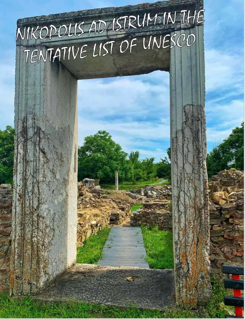
In today's blog I've decided to tell you about Nicopolis ad Istrum - a Roman and Early Byzantine town, located 20 km northern of Veliko Tarnovo, Bulgaria.
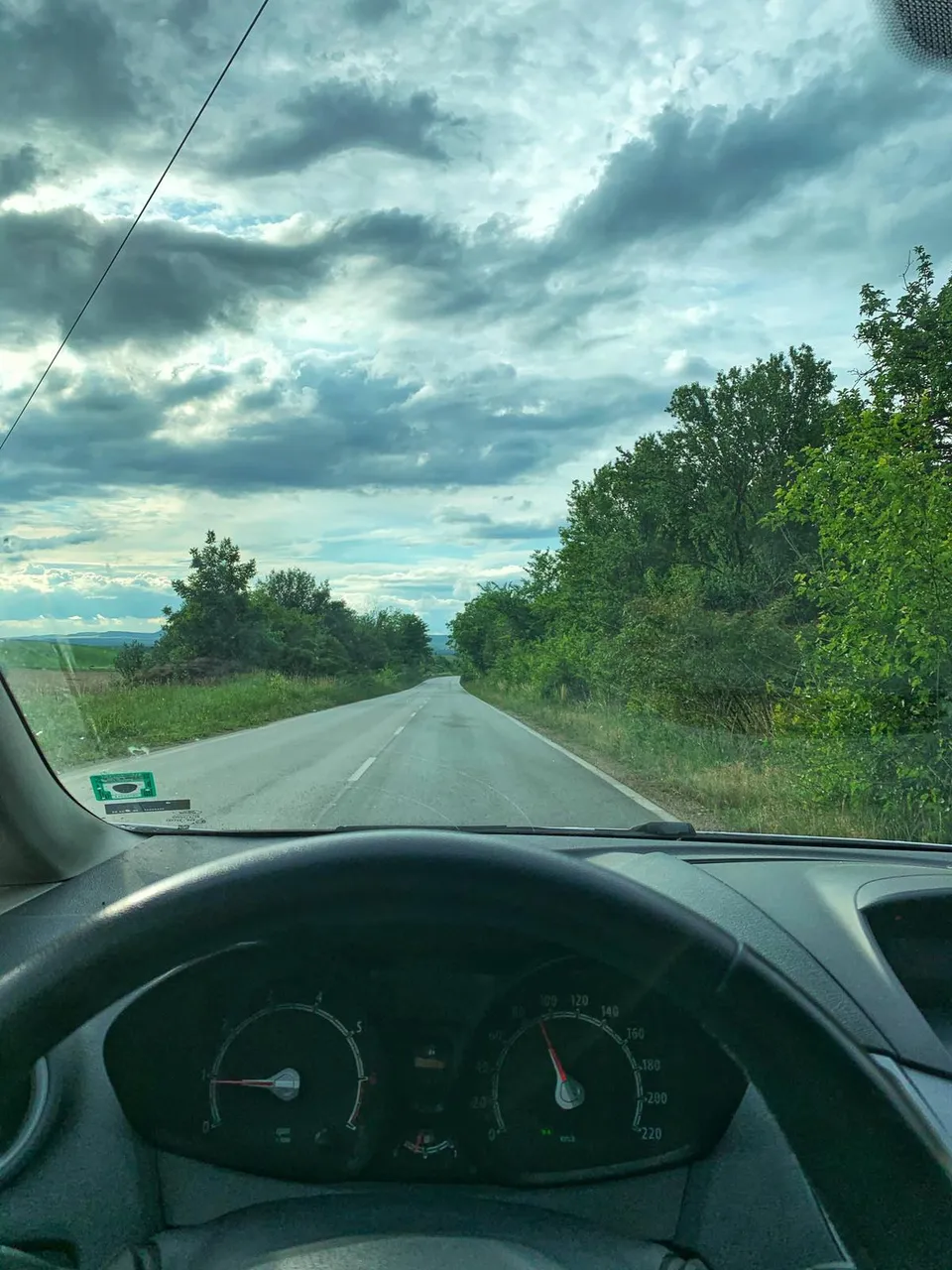
The Road to Nicopolis ad Istrum
It is located within a low plateau on the left bank of the Rositsa River.
The city was founded by the Roman emperor Mark Ulpius Trajan (98-117) in honor of his victory over the Dacians (106).
Its strategic importance is determined by the circumstances that are in the squares, crossed two of the important trips to Lower Moesia. One starts from Odessos (Varna) and through Marcianopol (Devnya), Nikopolis ad Istrum, Melta (Lovech) and Serdica (Sofia) connect with the western Roman provinces.
The other starts from Nove (Svishtov) and through the passes of Hemus (Stara Planina), Kabile (Yambol), Byzantium (Istanbul) and through the straits, which run through the provinces of Asia Minor.
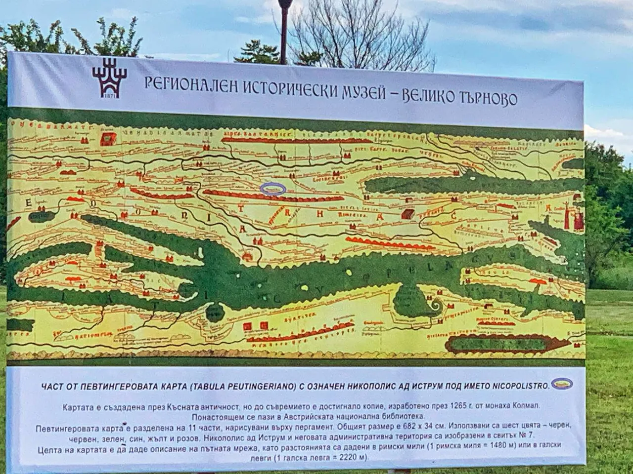
Peutingeriano map of the region dating back to 1265 year
Initially, Nikopolis was within the province of Thrace. In early 193, the city was transferred to the province of Lower Moesia. In its urban territory are located settlements, villas, markets.
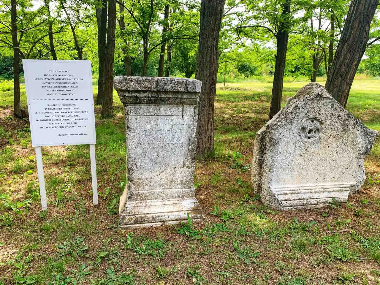
Nicopolis ad Istrum is organized similarly to the cities of Asia Minor - Ephesus, Nicaea and Nicomedia. The city government is headed by a Council of Archons, headed by the first archon to exercise the judiciary. A special college of priests takes care of the celebration of the cult of the emperor and the deities of Greco-Roman and Eastern origin: Zeus, Hera, Athens, Heracles, Asclepius, Dionysus, Mithras and others.
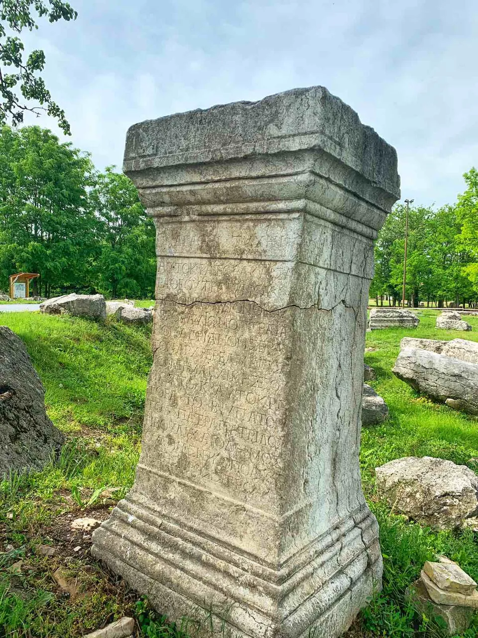
The ethnic composition of the population is diverse. The city is inhabited by settlers from Asia Minor, Thracians, Roman veterans. The official language is ancient Greek. Nicopolis ad Istrum experienced its greatest economic prosperity during the reign of the dynasty of the North (the middle of the II - the first third of the III century). More than 1,000 types of bronze coins have been minted and put into circulation at the city mint. A number of them depict existing temples in Nikopolis, public buildings, fortifications.
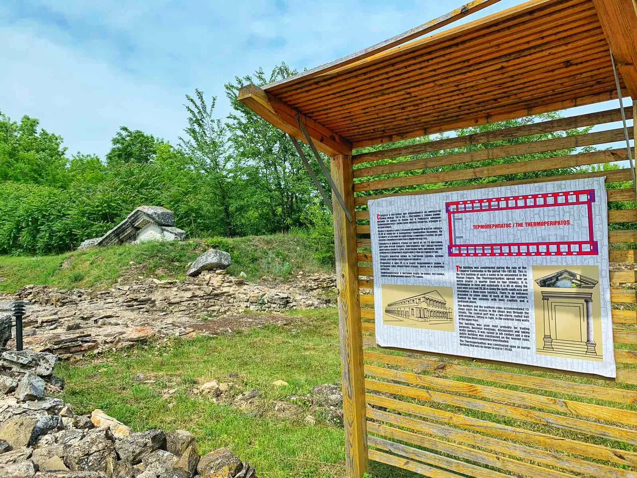
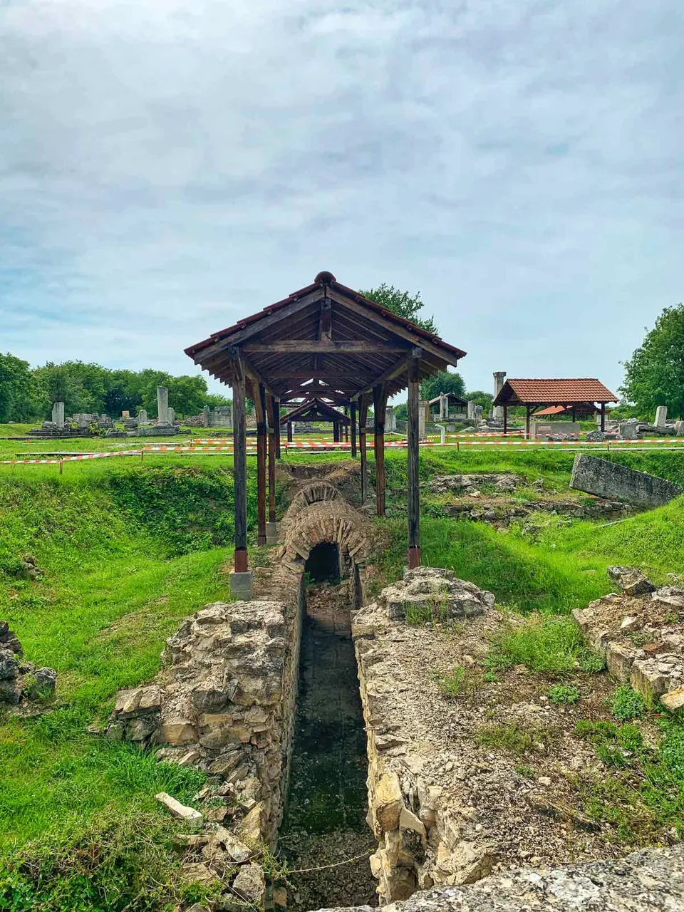
The Thermoperipatos
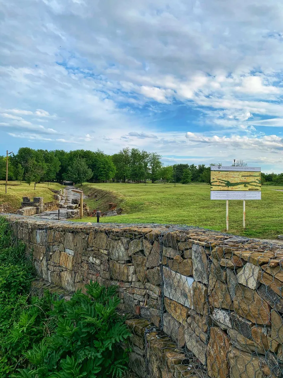
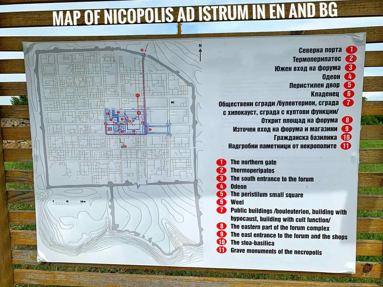
The city is planned according to the so-called "orthogonal system", in which the streets are straight, oriented in the directions of the world and intersect at right angles. The planning identified the sites of the agora complex (town square), the two main street arteries - Cardo Maximus (north-south) and Decumanus Maximus (East-West), public buildings, the market, residential areas. A significant part of them have been discovered during archeological excavations.
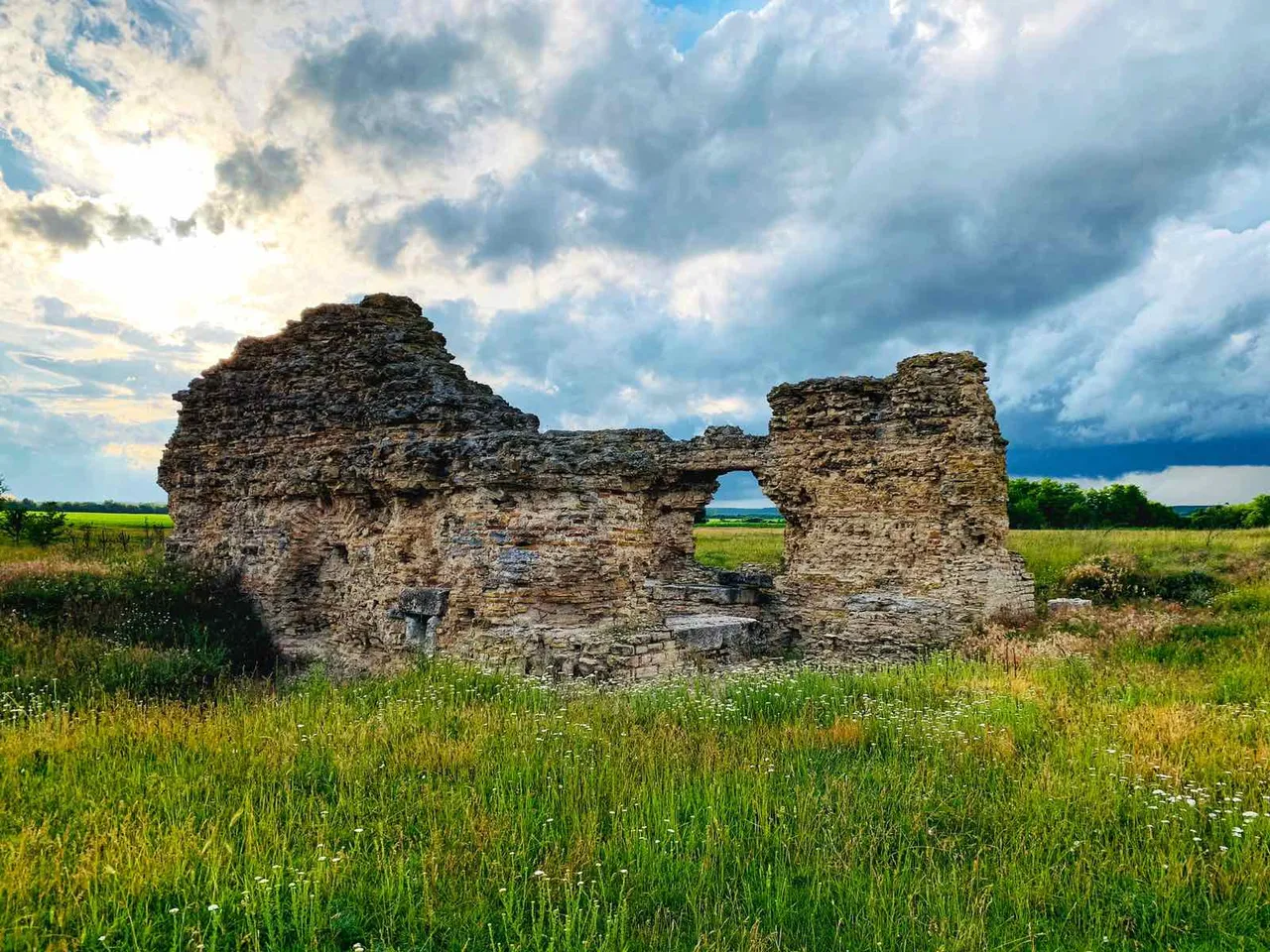
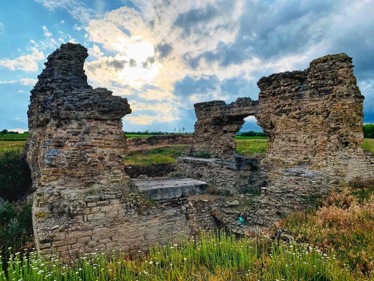
Initially, the city did not have fortress walls. These were built after the devastating attack of the Kostoboks in 172. The fortress walls rose to a height of 8 m and the towers reached 12 m. On each of the fortress walls there were well-protected gates.
The main gate of the city is located to the west, in the direction of Rome and was called the "Roman Gate". From the gates to the town square lead streets lined with large limestone slabs and bounded by curbs. Under the street pavement are built sewers for wastewater. Four streets form a neighborhood (insula), usually measuring 30 x 70 m.
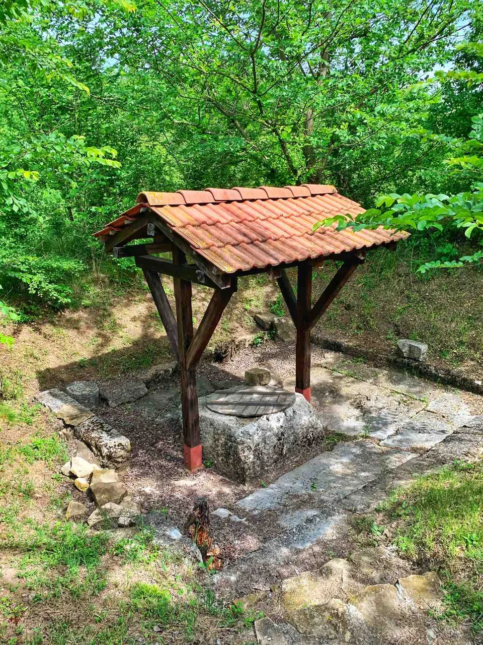
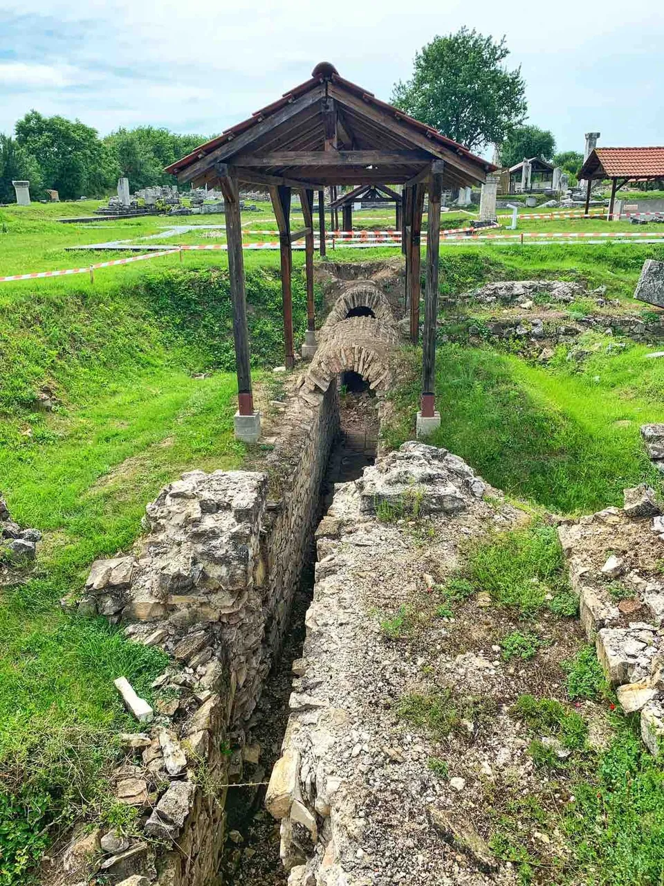
Draw well
Nikopolis ad Istrum was well supplied with water.
The main water pipeline is the Western one with a length of 26 km. Along it the water reached a specially built reservoir, located next to the western fortress wall.
From there, the city's water supply system drained water for private and public buildings, bathrooms and toilets. An additional amount of water was provided by two smaller water mains coming from the northwest and wells.
The town square (agora) is the center of economic, cultural and religious life in the city. A horse statue of the emperor stood in the center. The eastern part is the areata (square), surrounded on three sides by a monumental Ionian colonnade.
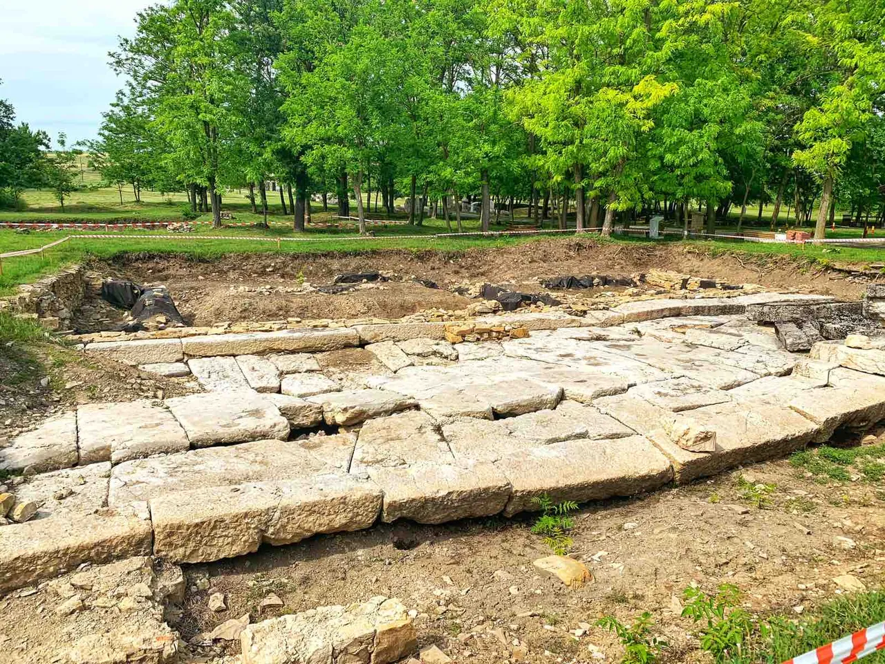
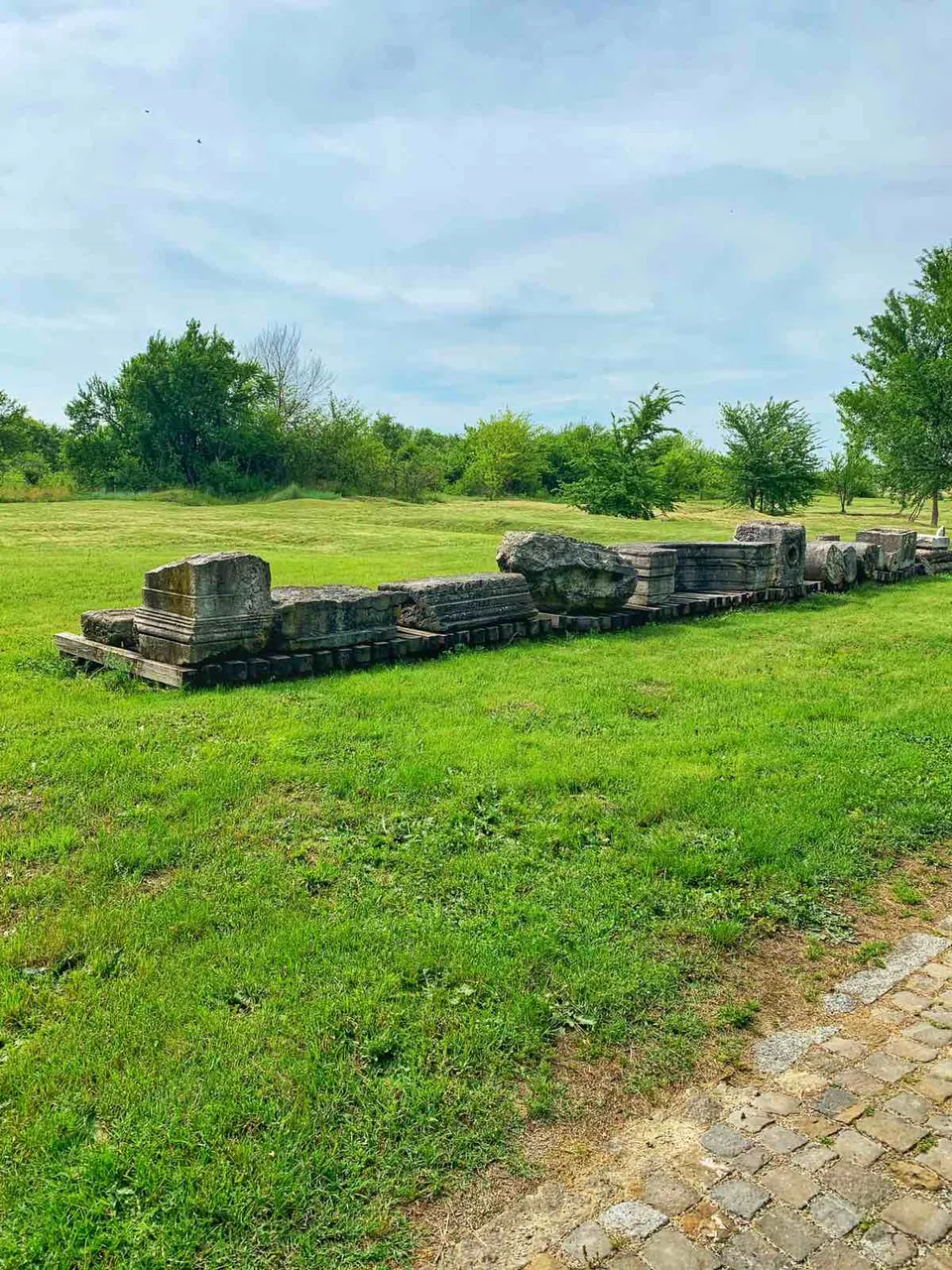
Between the columns were placed bronze and marble statues of emperors, members of their families, prominent citizens. On the north side of the arena was a civil three-nave basilica. It was used for public needs - commercial transactions, justice, etc.
From the east and south of the area there were shops. In the western part of the agora was the building of the boulevard (city council). South of the boulevard is a small theater (odeon). Outside the agora complex, on the east side, there is a large public building, which according to an open inscription was called "thermoperipathos". It had shops and a heated walking room. There was a public bath in the northern part of the city.
The necropolis of the city is located on both sides of the road leading to Nove and around the communication leading in a westerly direction. 121 mounds have been preserved from it. The dead were buried masonry brick and stone tombs and sarcophagi.
Several villas, settlements and centers for ceramic production have been studied in the urban area of Nikopolis ad Istrum.
Addition
Working hours:
April until October - from 9:00 to 18:00
November until March - from 10:00 to 16:00
Taxes:
*BGN 6 / person; for groups over 20 people - 20% discount
Lecture in Bulgarian - BGN 10
Lecture in Russian, English, French, German and Greek - BGN 30. *