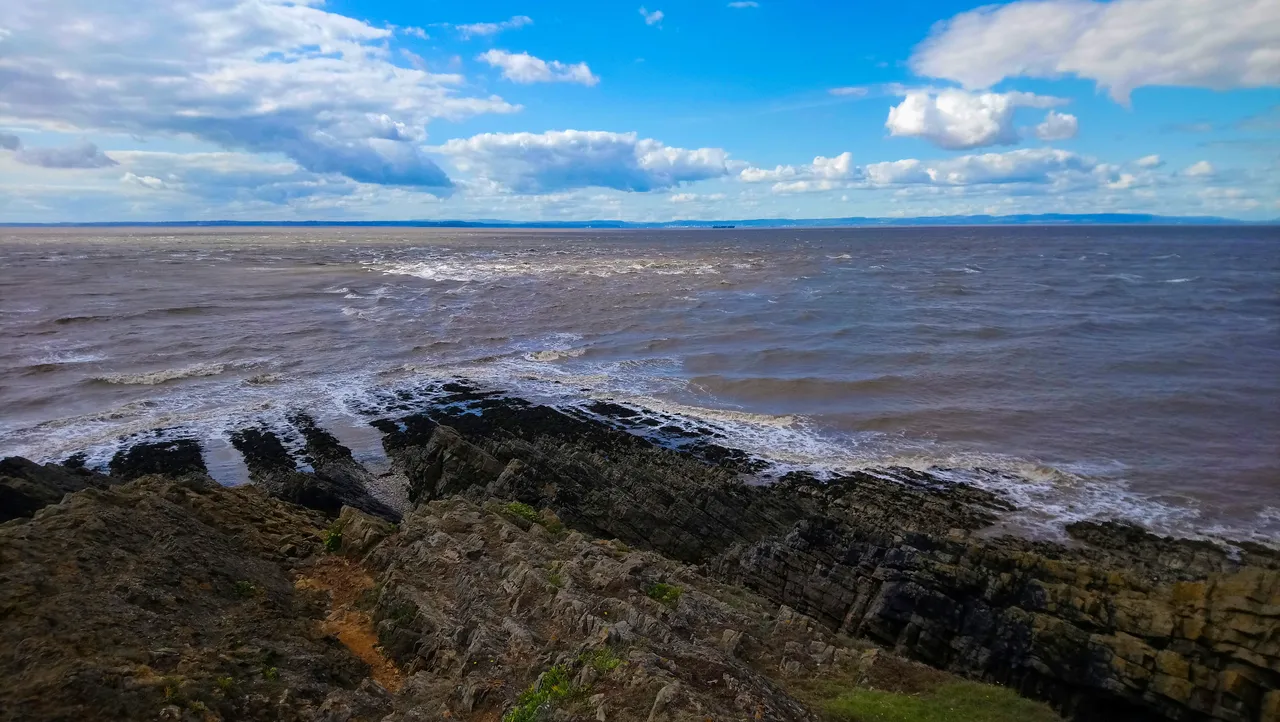
I kept on walking and walking, not sure how far I was to go. There was nothing in sight. All I could see was an idyllic path ahead of me. I would have gladly come this way even if it led to the end of the world. Lush green downs on either side of the path, and the sounds of waves some 100 meters beneath me crashing against the cliff. I couldn't wait to see what was ahead of me.
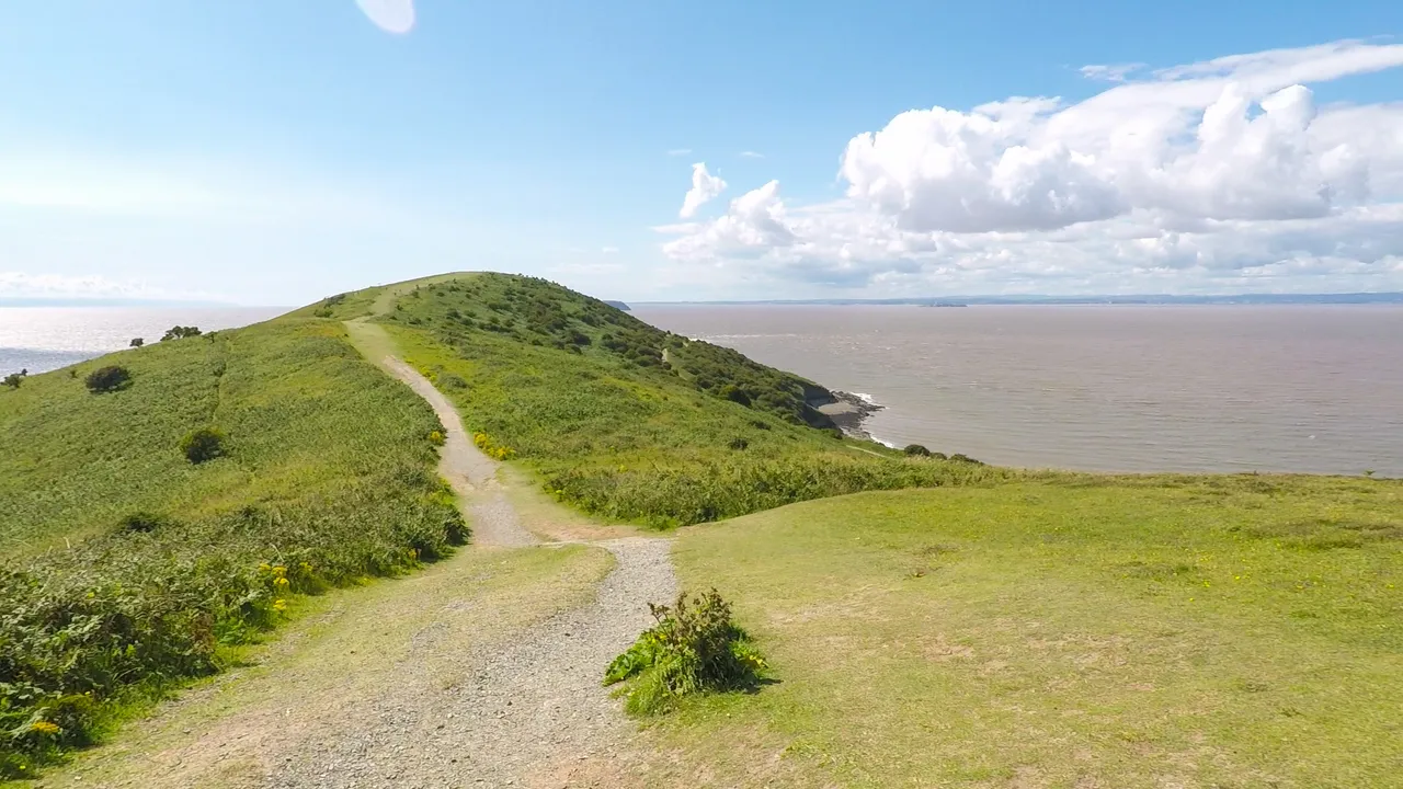
Gradually the terrain change, the path had opened up to a wide walkway replacing the downs. Now it looked like I was walking into the sea.
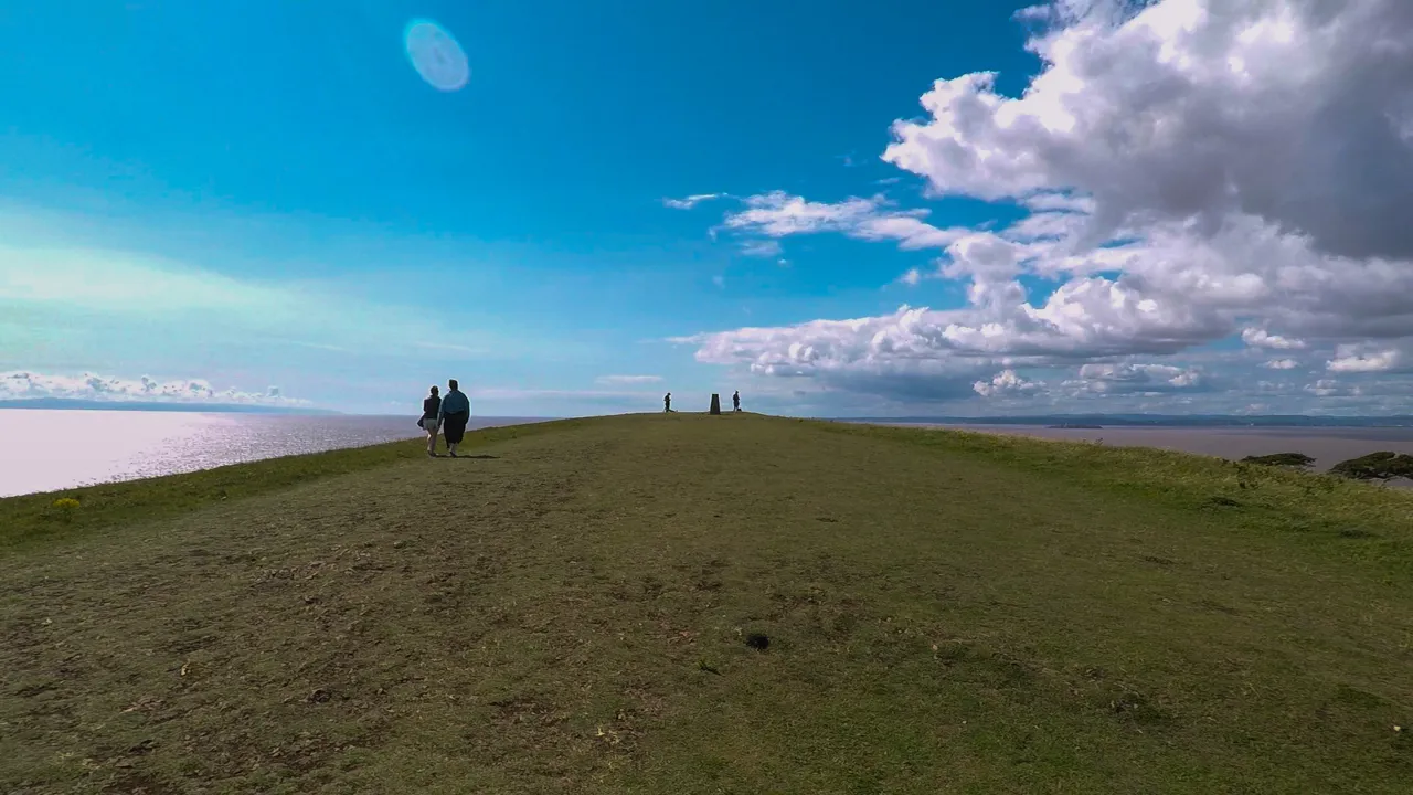
There's a trig point in the middle of the path, this is the view looking back to where I just came from.
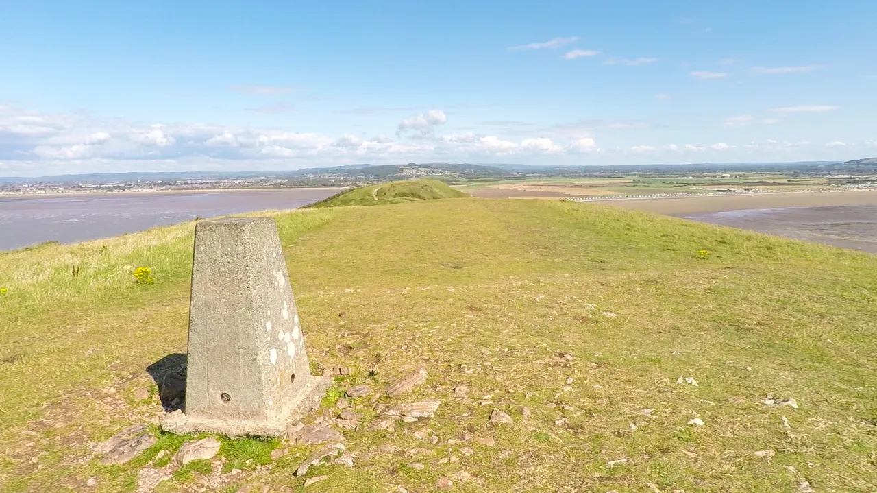
There was some sort of triangulation marking at the top of the trig point. I'm not sure what it was or if it meant anything as there was no marking. At the base on one side was a plate with the trig point details. OS stands for Ordanance Survey, they're the agency responsible for mapping in UK. And BMS stands for Benchmarks, these are markings carved on fixed structures to measure the height of a location. I'm guessing 3270 is the reference for this benchmark. Benchmarks are part of history now as height survey in UK is done by GPS. However, it remain a hobby for many who enjoy benchmark bagging.


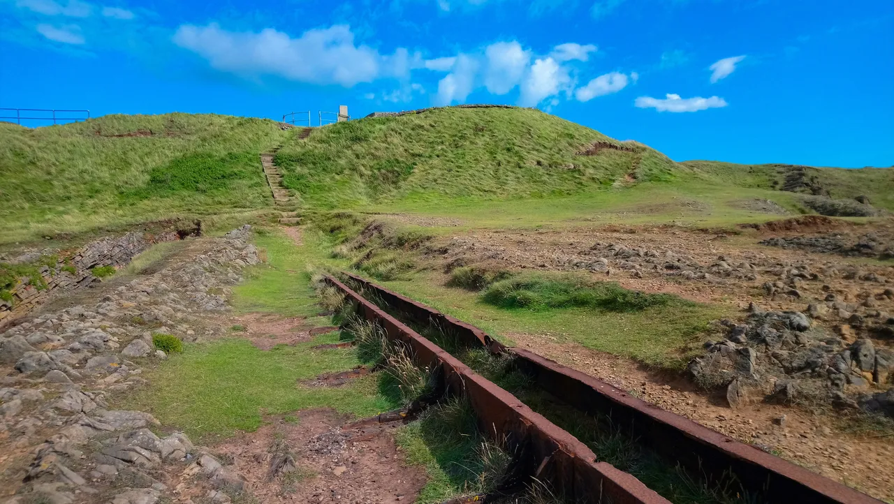
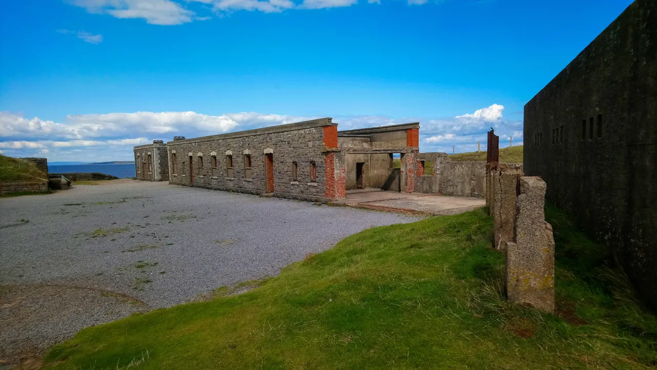
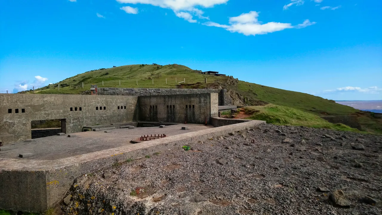
After the trig point, the terrain changed once again. The path became hilly and I was starting to go downhill. There were some buildings ahead of me, right by the edge of the cliff. Things were getting intriguing now. As I approached it, I could see a group of buildings, and given their remote location, they were in very good condition.
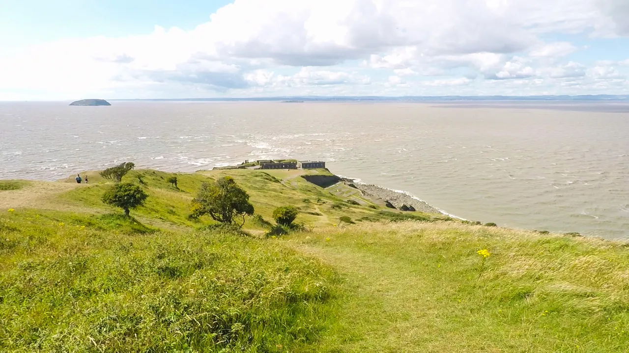
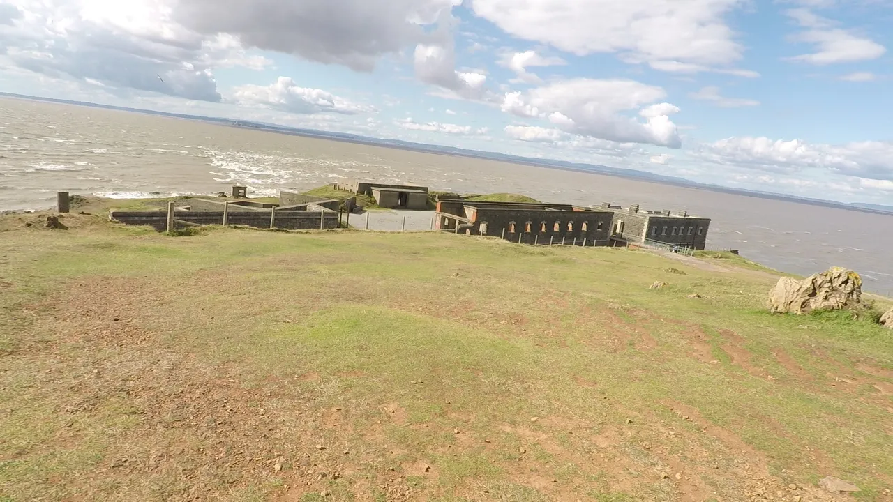

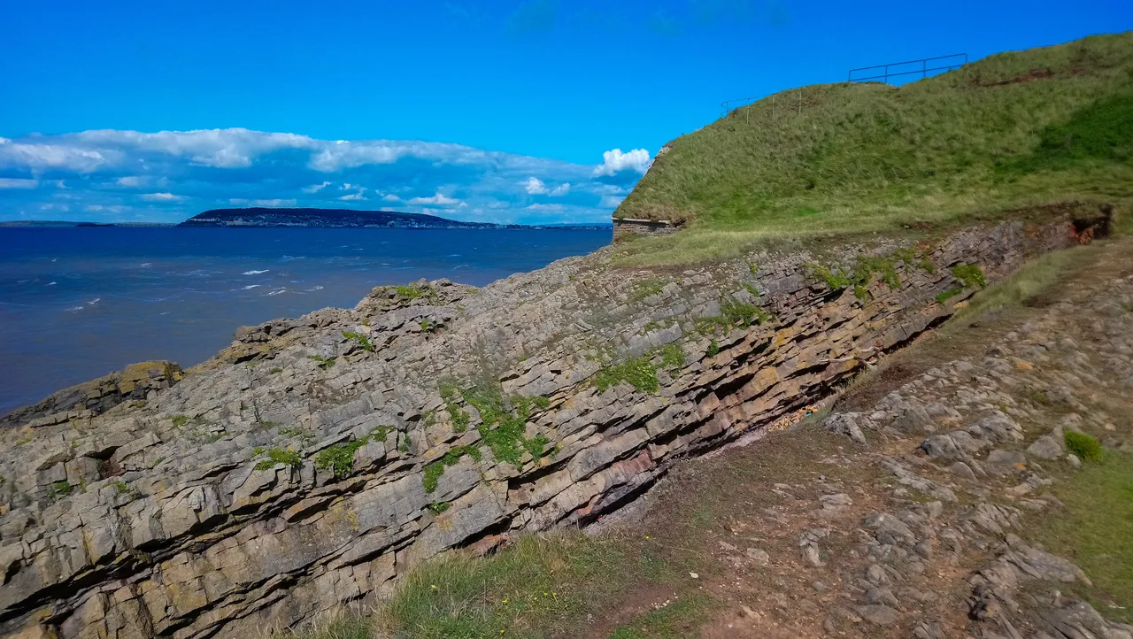
This is Brean Fort. It was built in the 1860s and forms part of Britain's strategic coastal defence system against our frog friends (we love them really 😀) across the English channel during the Napolean war. Today the site is maintained by the National Trust, and is open to visitor to wander around and get a feel of what it was like to man the fort during the wars.
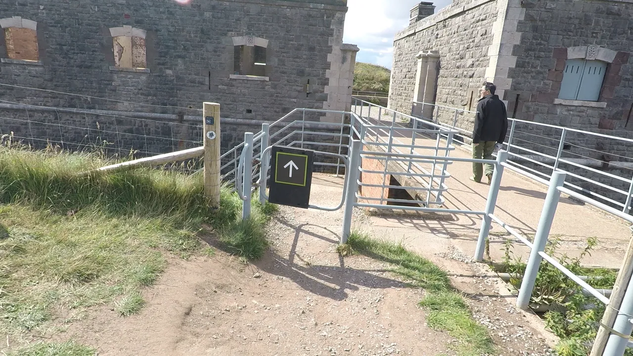
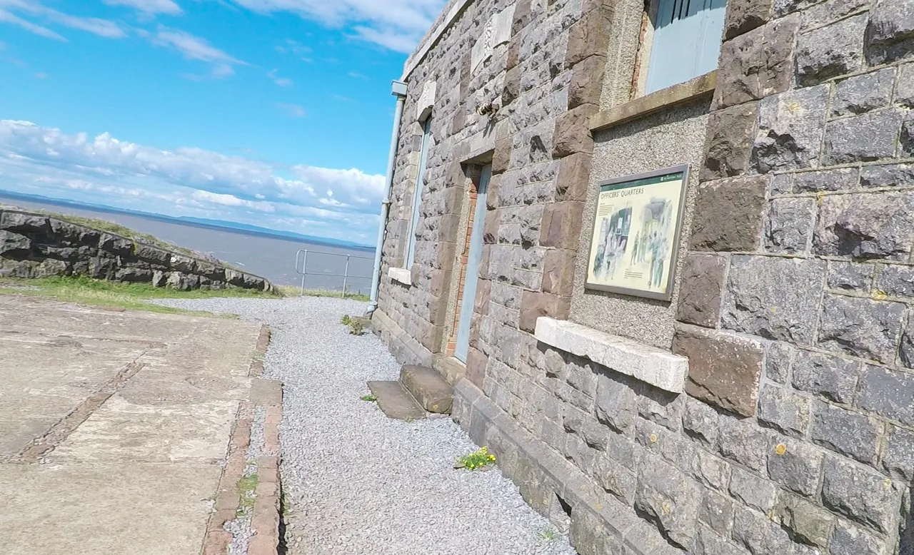
As I enter the gate, the Officers Quarters is on the right, and the barracks on the left.
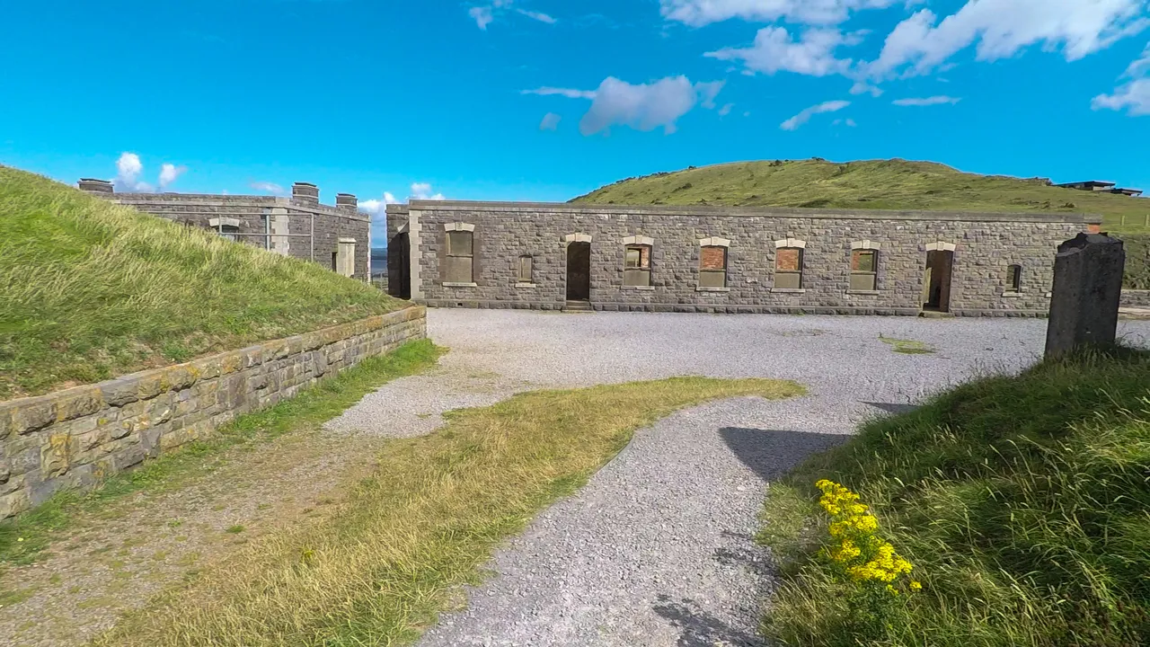
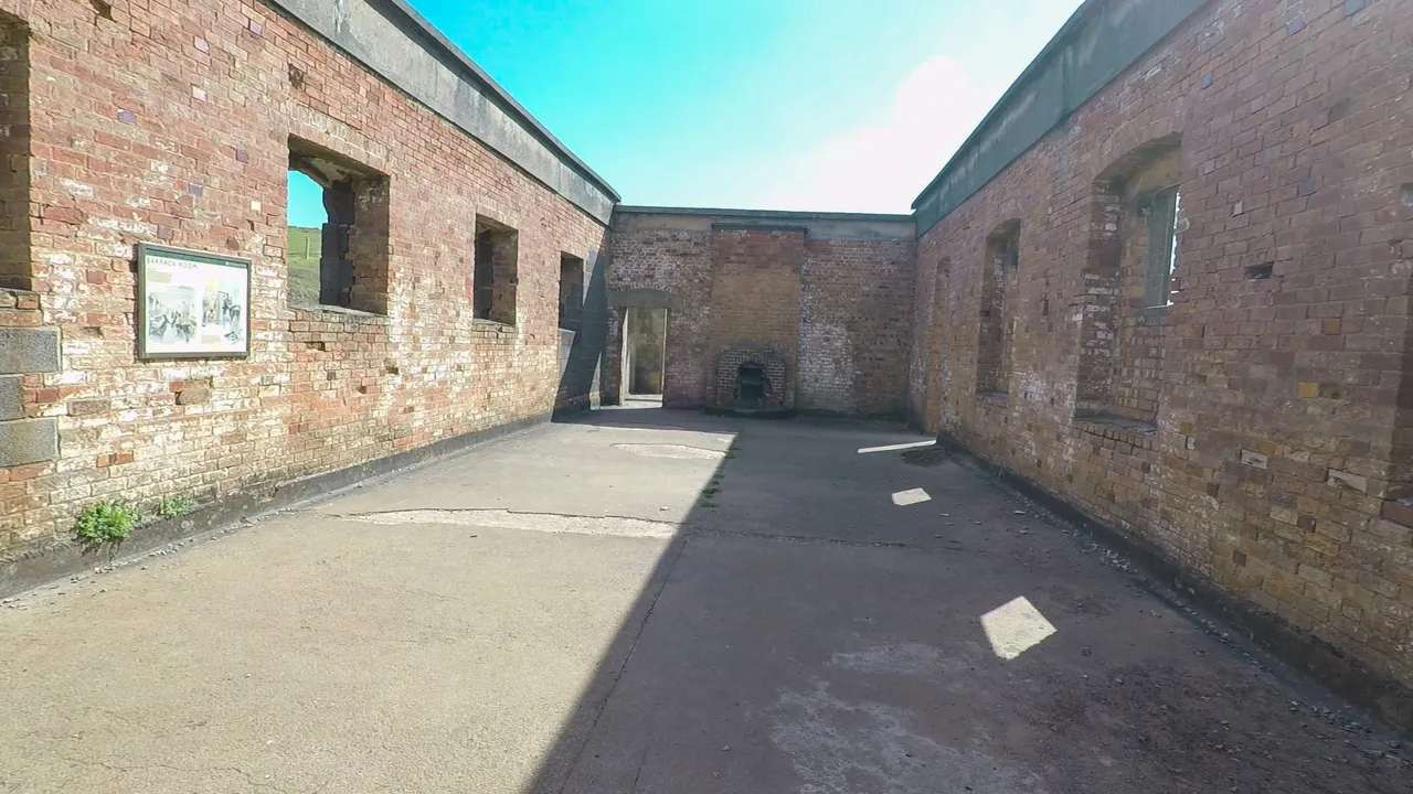
This is the barracks, and you can see the fire place at the far end of the room. This is where the soldiers used to live. By the 1940's during the second world war, the soldiers used to live outside in huts, and this was used as the canteen and leisure area. I tried to imagine living here and what it would feel like. Being 100 meters up on a cliff and around 3 km away from the road which was itself at a rather remote place. Perhaps it would make a great camping spot. You're shielded from the bitter wind, yet you get to listen to the waves swishing throughout the night, and I imagine it would be a great spot for star gazing.
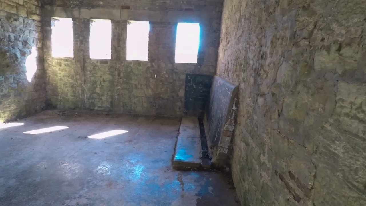
This is another building at the Fort. Apart from these windows, there were two small windows on each of the other two walls, but none on this side of the wall. I don't know its purpose and there was no sign giving me any hint. I'm guessing perhaps it could be the toilet? There were no water outlets or anything, and certainly no stinky smell though...
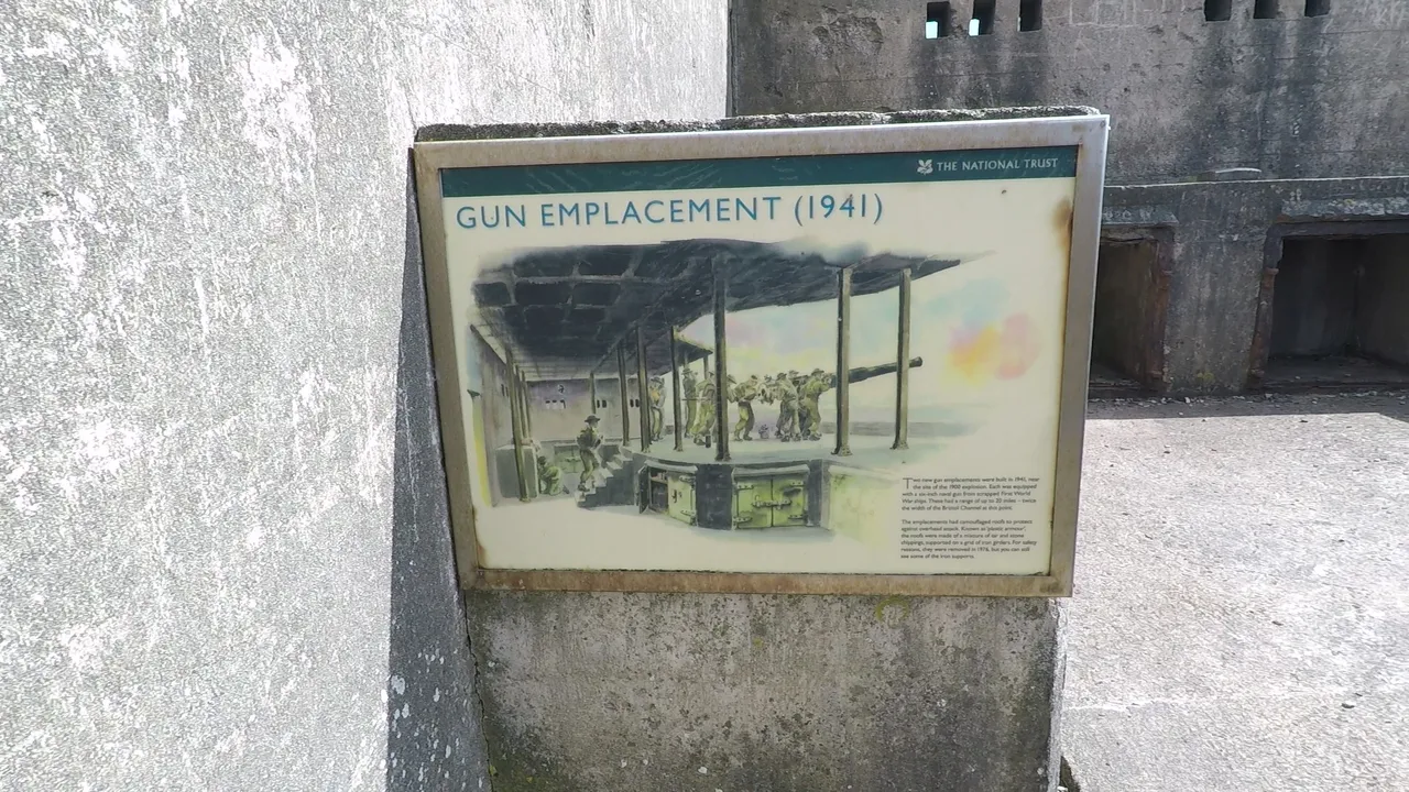
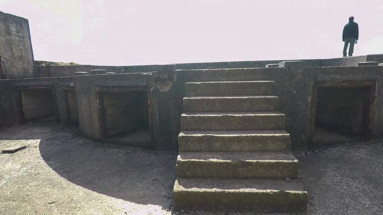
During the wars, Brean Fort was used for training purposes by the soldiers, but no shots were ever fired in action. The guns were located here at the Gun emplacement which overlooked the Bristol Channels.
This is hubby standing at the edge of the gun emplacement. But don't worry, he won't fall into the sea or anything. There quite large area in front of the emplacement.
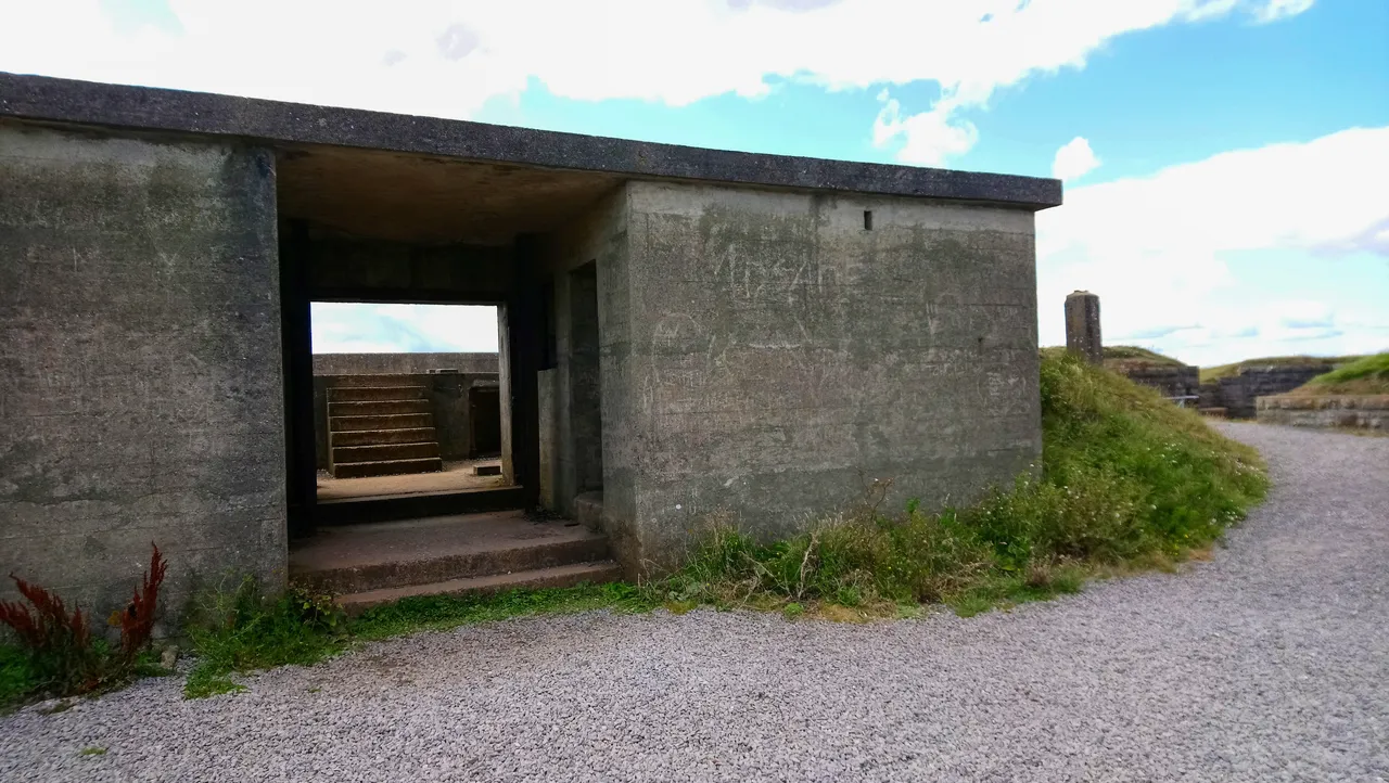
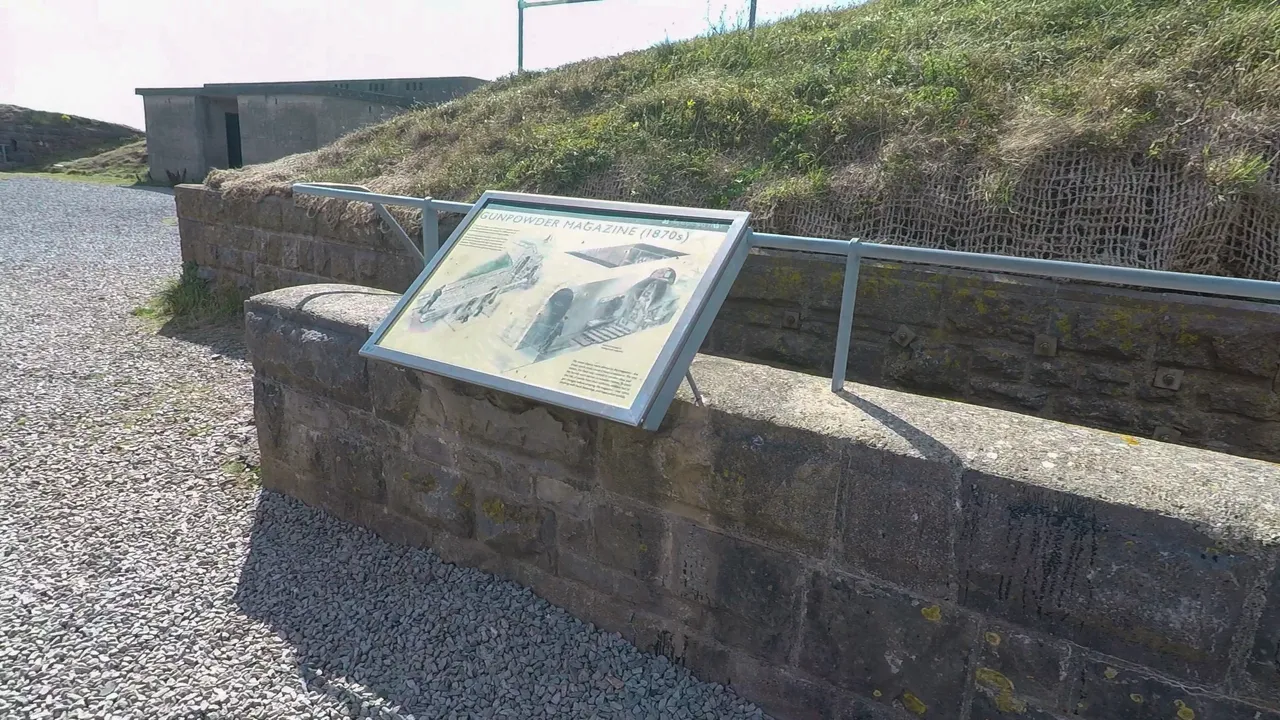
The ammunition was stored at the Gunpowder Magazine opposite the barracks. It's an underground vault about 6 meters deep. I was quite tempted to walk down the stairs to see what it was like. I'm guessing you can't go inside, and I don't like dark places so gave it a pass.

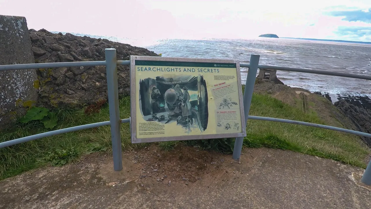
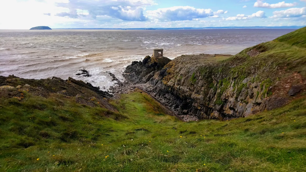
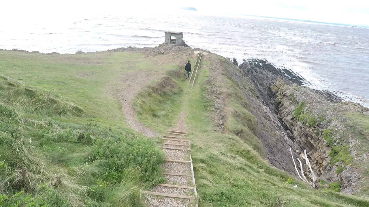
My favourite part of Brean Fort is this outermost area, I don't know what it's called. Seems like it was used for some secretive spying activities back in the days. There's an outpost right at the very end of the cliff, you had to climb over the rocks to access it. I actually saw two brave souls inside. The problem is with the tide, and you have to make sure you don't slip, if anything happens it will take a while for the rescue operation to reach you.
Whilst I may be a bit of a chicken, I do like a bit of adventure, only that my adventurous limits are much lower than others. I made my way down the steps towards the end of the end. I mean I'd made it this far at Brean Down, how could I not go the last mile to see the end of the world for myself?
It was surreal and I was speechless. Let's just leave it at that. Thanks for joining me on my travels today.