The catchment zone looks like a lake, but it may have originally been a swampy area or vast wetland valley nestled in a hilly area in the interior of Aceh Besar, in a district known as Kuta Cot Glie.
The local government only builds a dam in the northern part of the zone to hold water, and the rest is a natural zone.
The construction of the dam and water gates aims to make this area a water catchment area both from various sources of water flowing from the highlands in the south as well as rainwater, which is then channeled through irrigation to various rice fields to meet the water needs for rice cultivation, besides also aims for flood control.
But it could be said, only from the north side of the zone did it look like a reservoir, while from other sides, it looked no different from a natural lake.
The reservoir or let's say that the artificial lake is now one of the famous recreational destinations at the local level. After several previous visits, a few days ago I made another trip to that place, but with a different target than before. This time it was specifically to see the side that shows the place as a lake, not as a reservoir.
To reach this place, we must move away from the main traffic road and go along a road that crosses a large hilly area where only a few sparsely populated settlements may be found along the way. The rest is low forest and thickets.
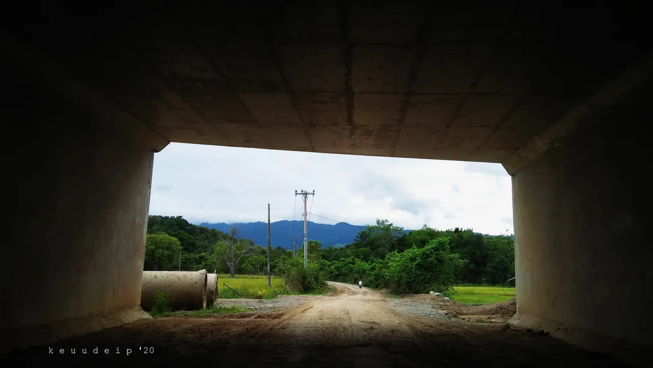
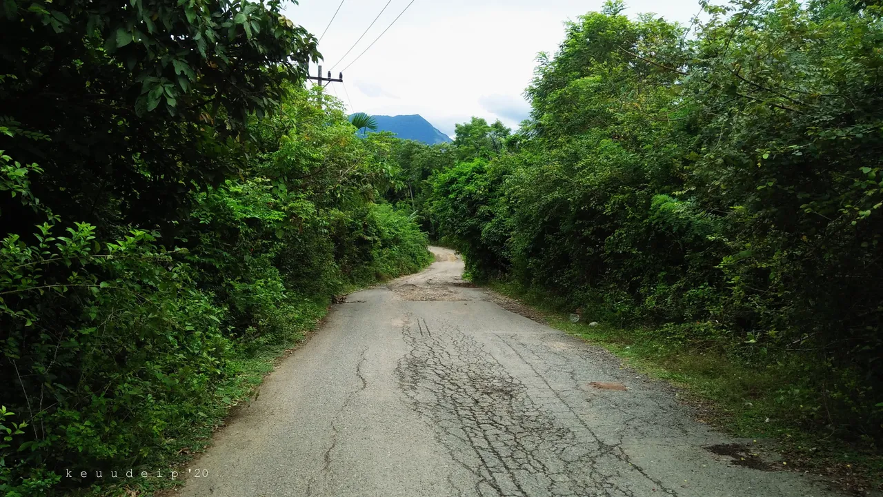
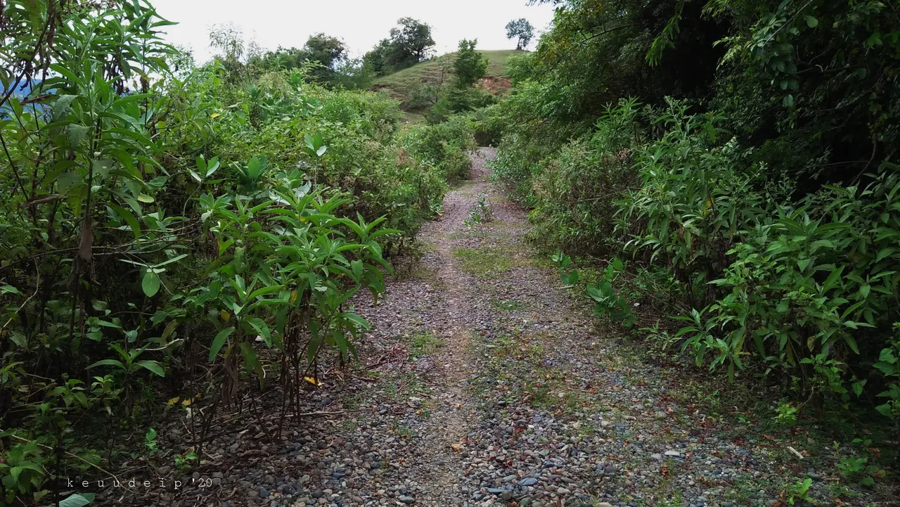
Arriving at the location, I took the direction in which I thought it would show a view of a lake, and not a view of a reservoir. I took a road that looked flooded with rain in several places.
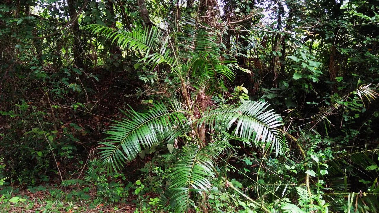
Rattan that grows on the side of the road.
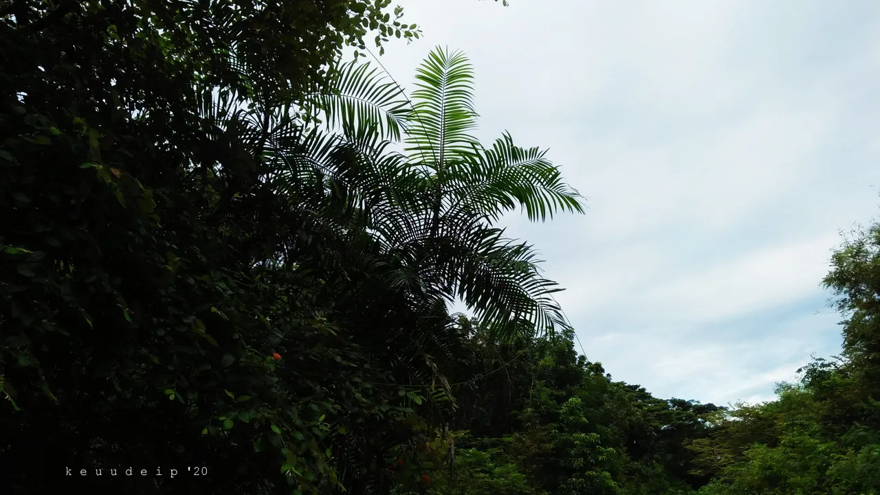
Rattan palm leaves that look sticking up.
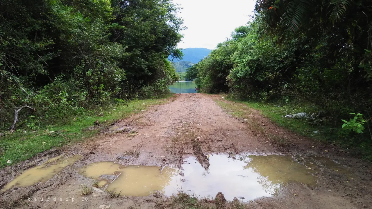
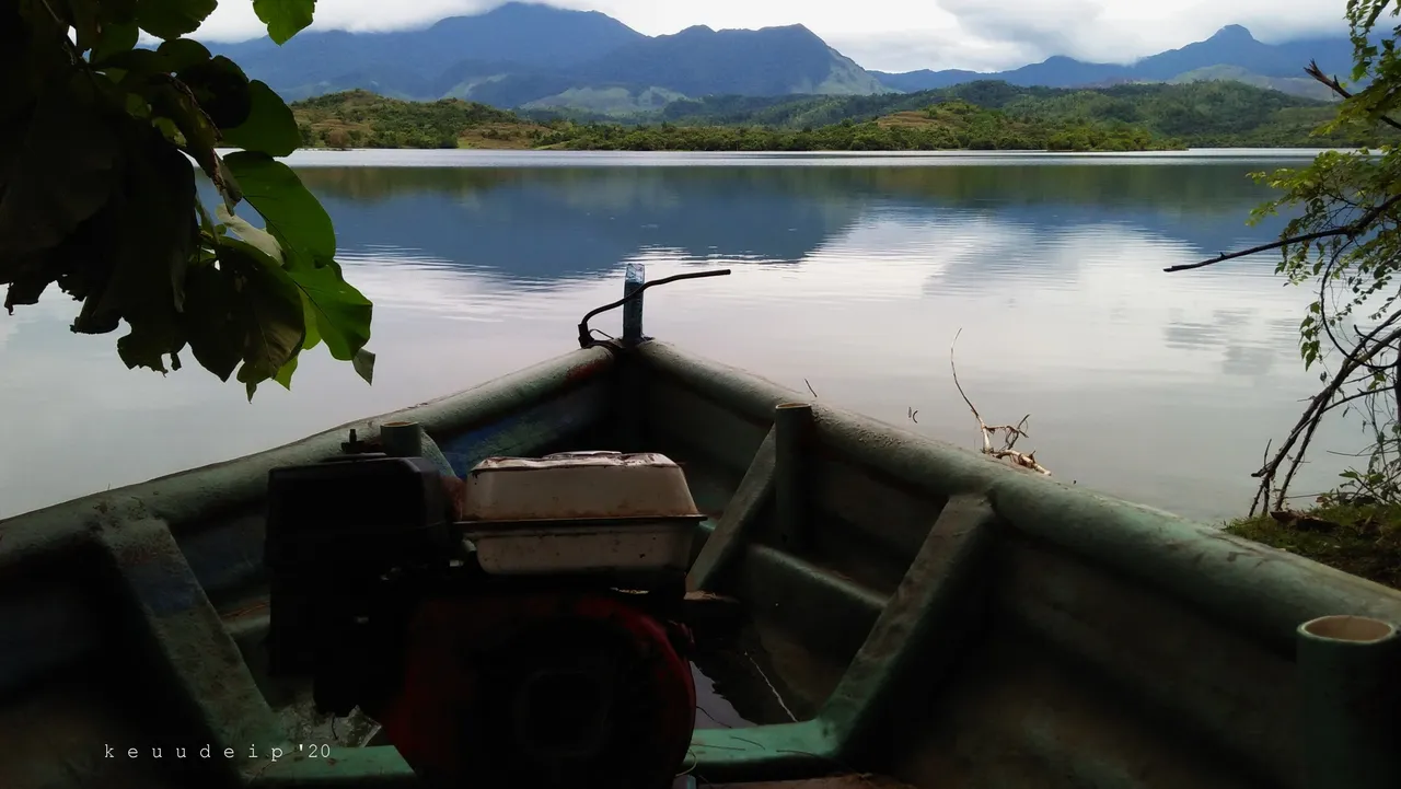
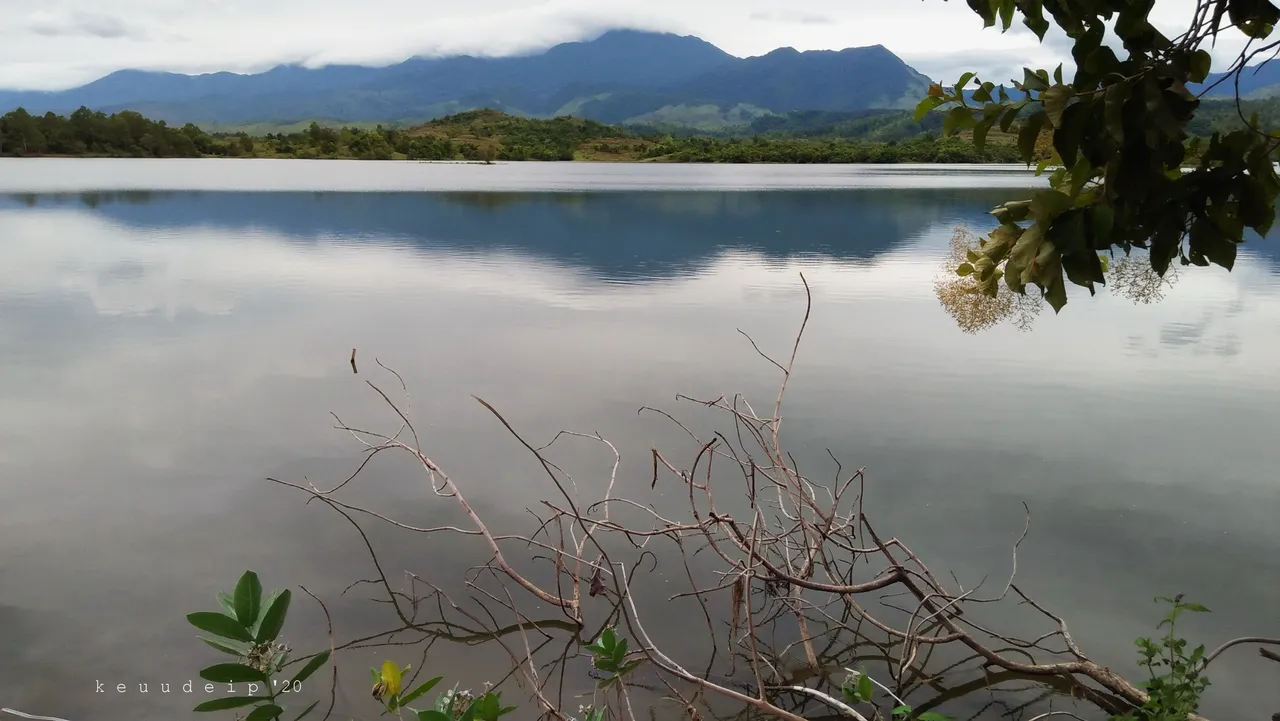
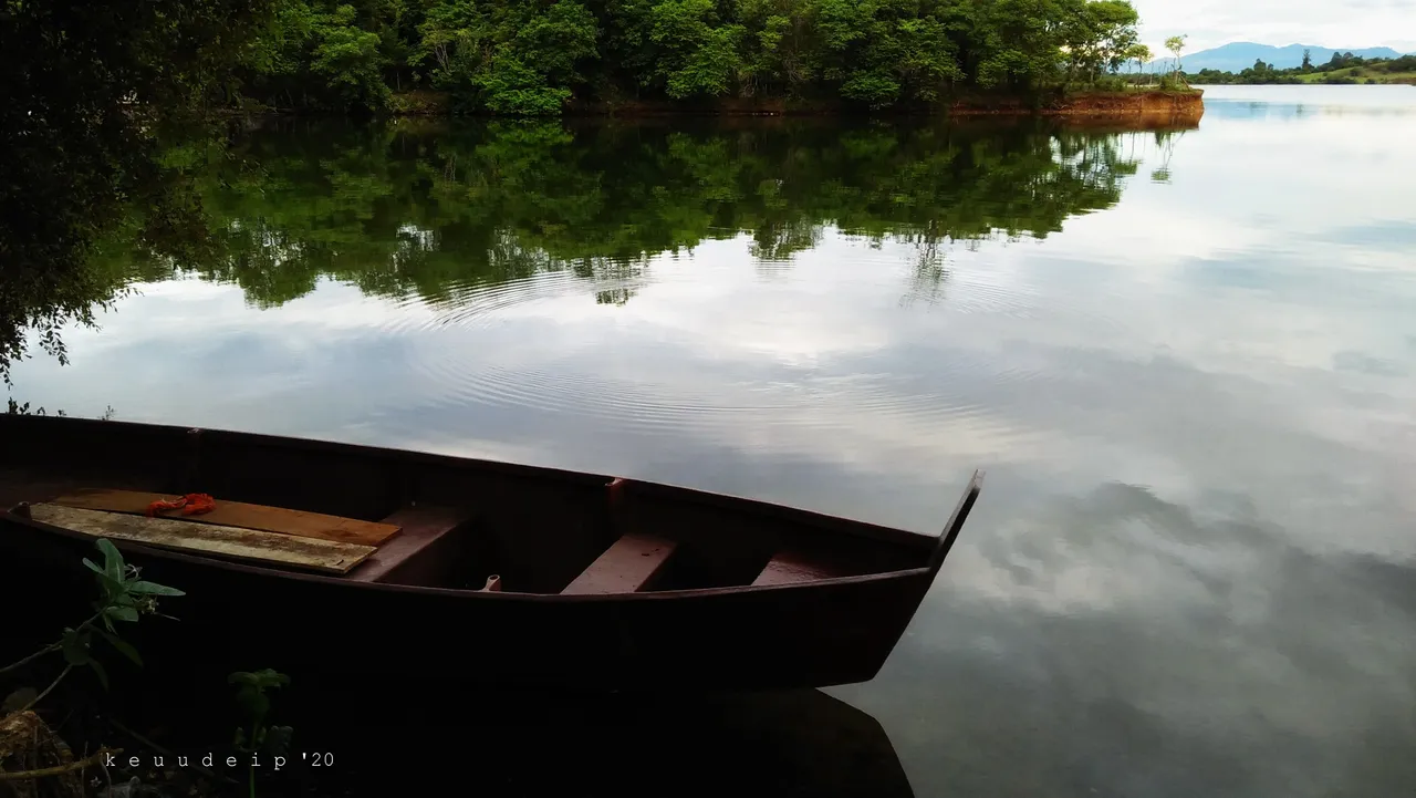
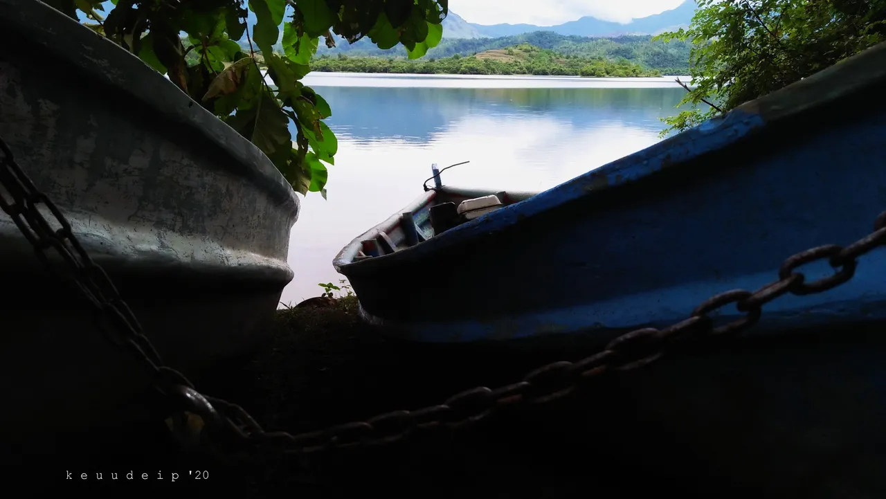
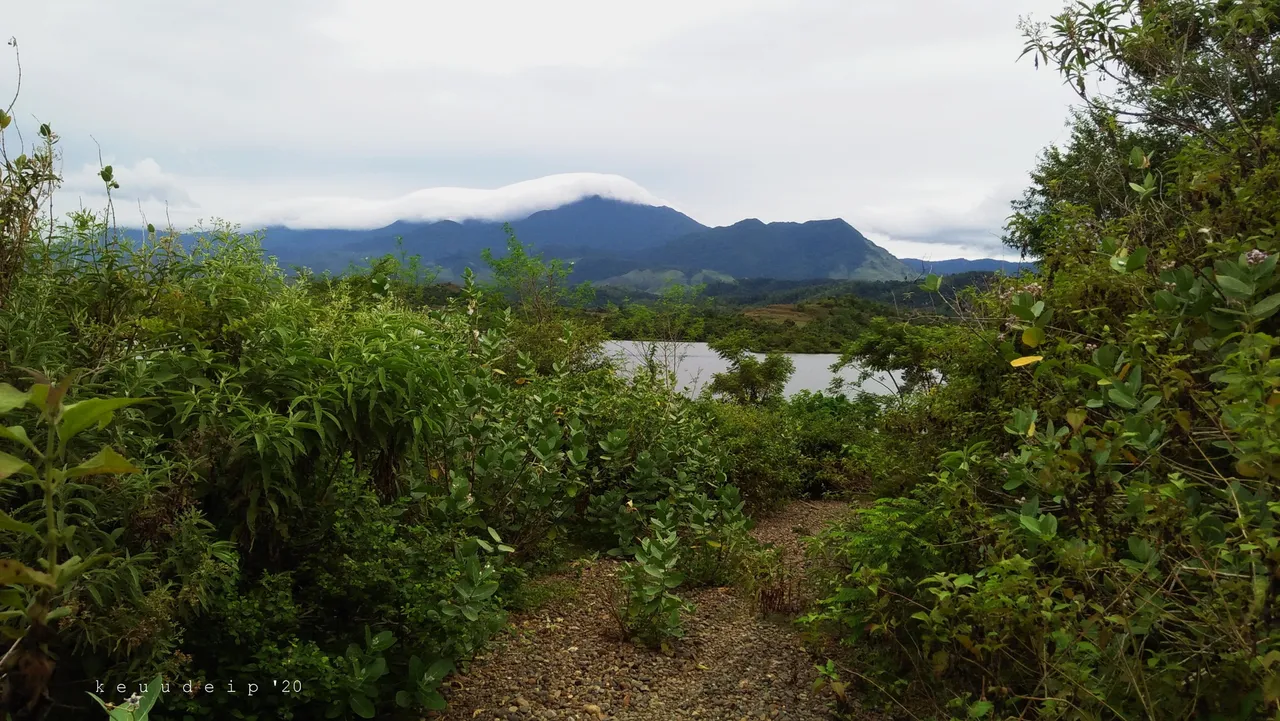
We have seen the reservoir or lake at the end of this road.
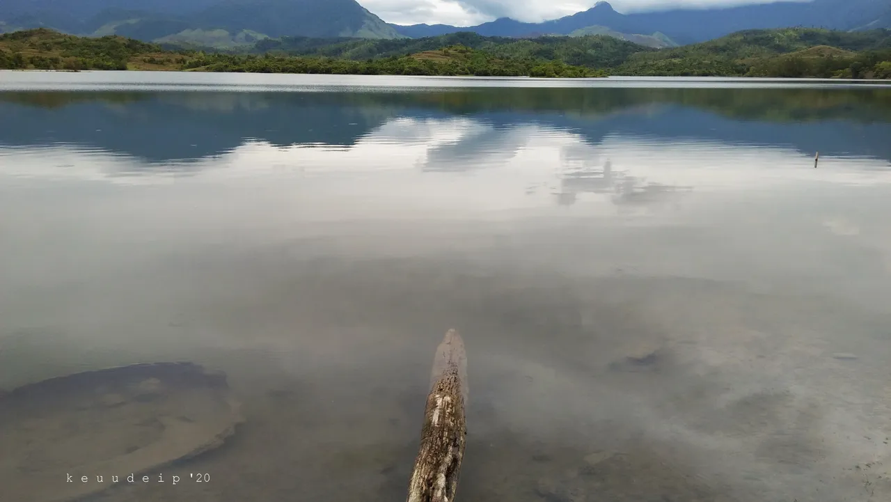
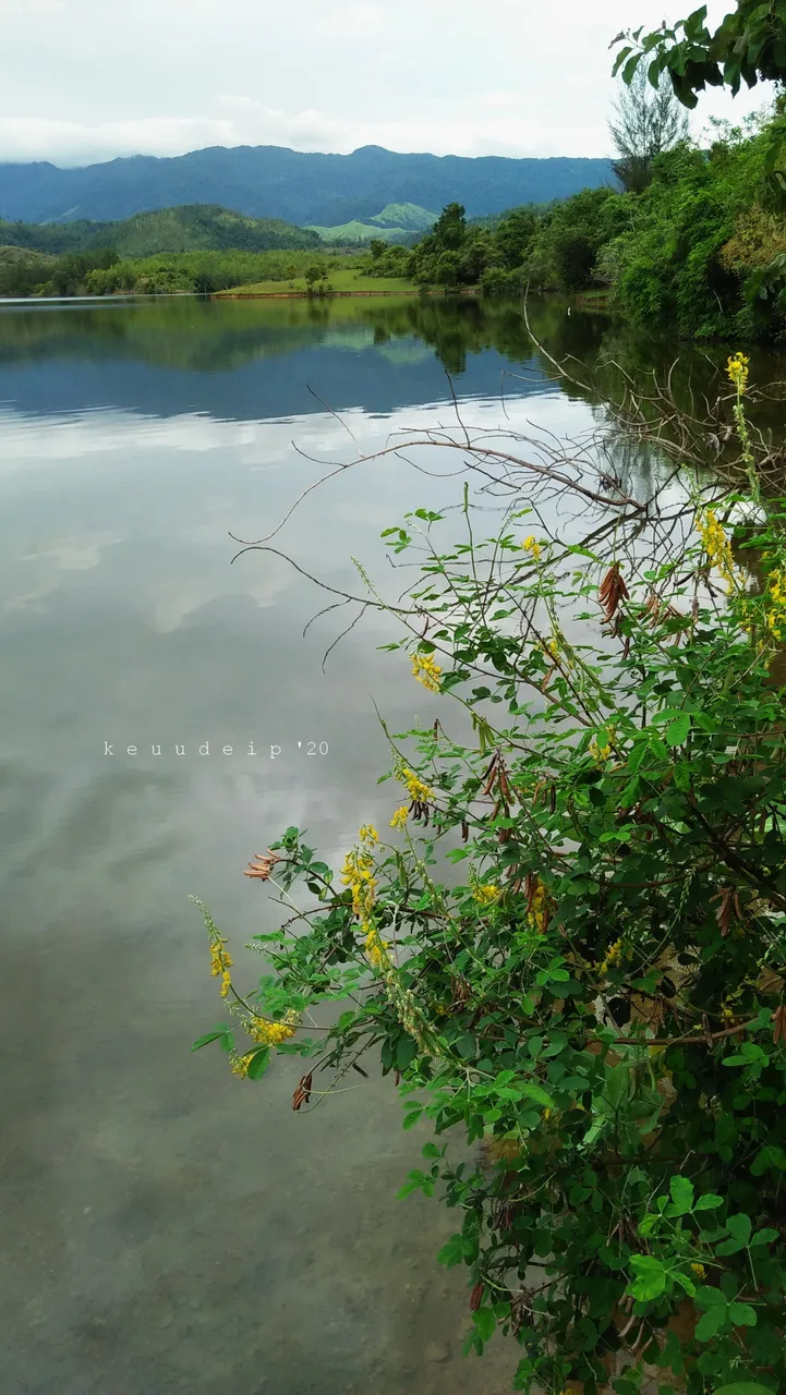
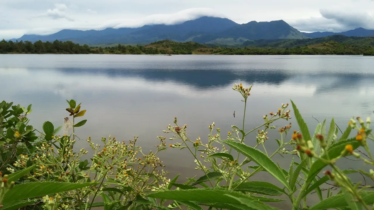
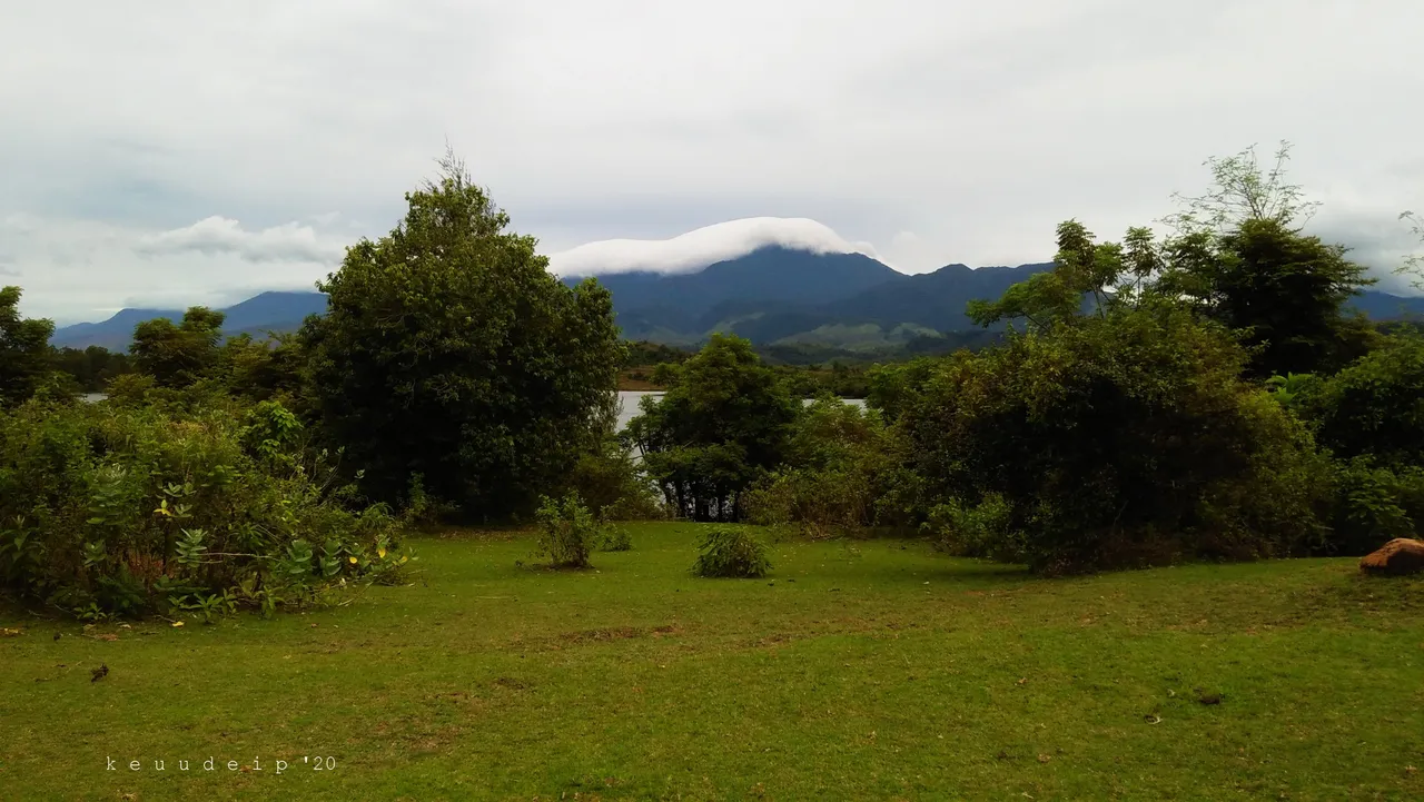
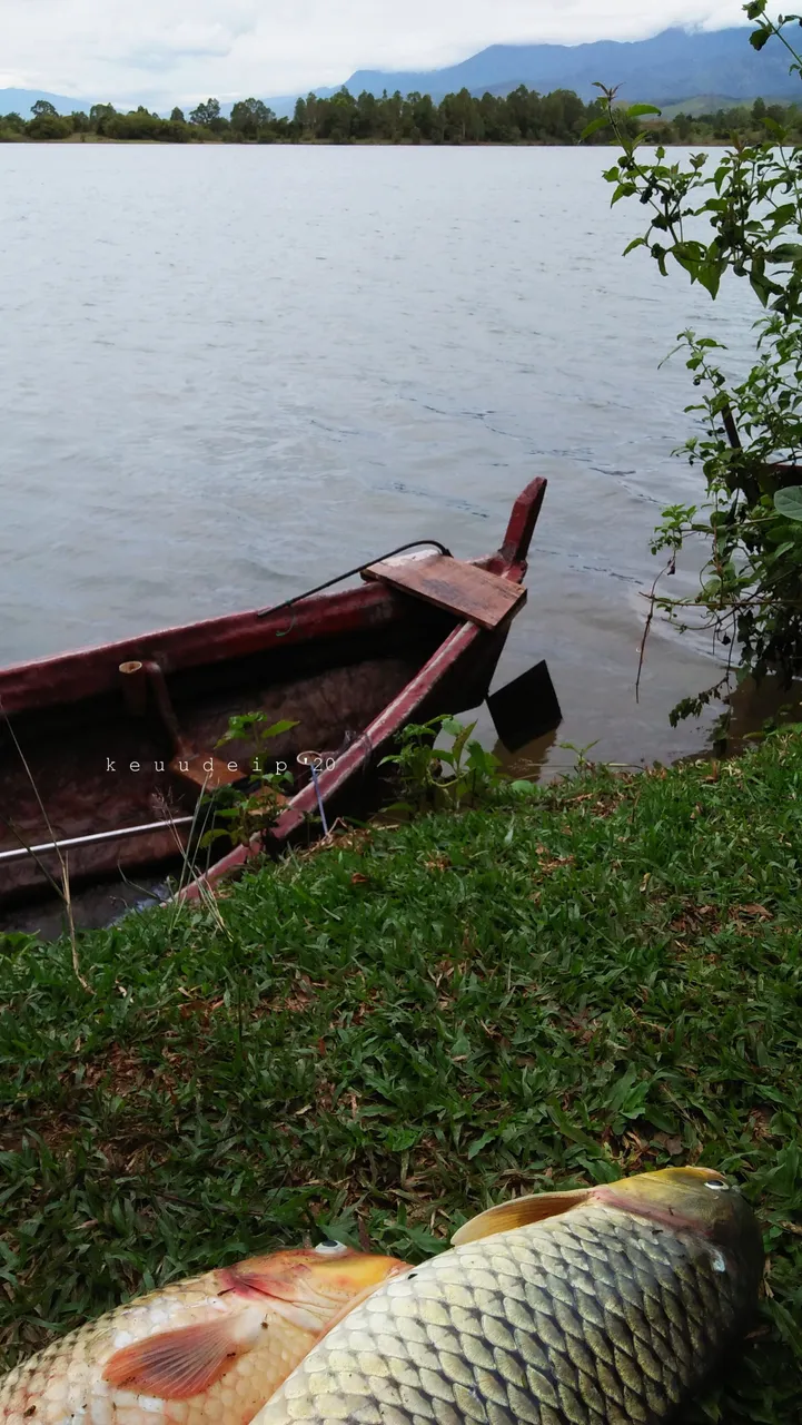
We got near the water, and after looking in various directions, sure enough, it didn't look like a reservoir at all, but it was a lake against the backdrop of the blue mountains in the distance.
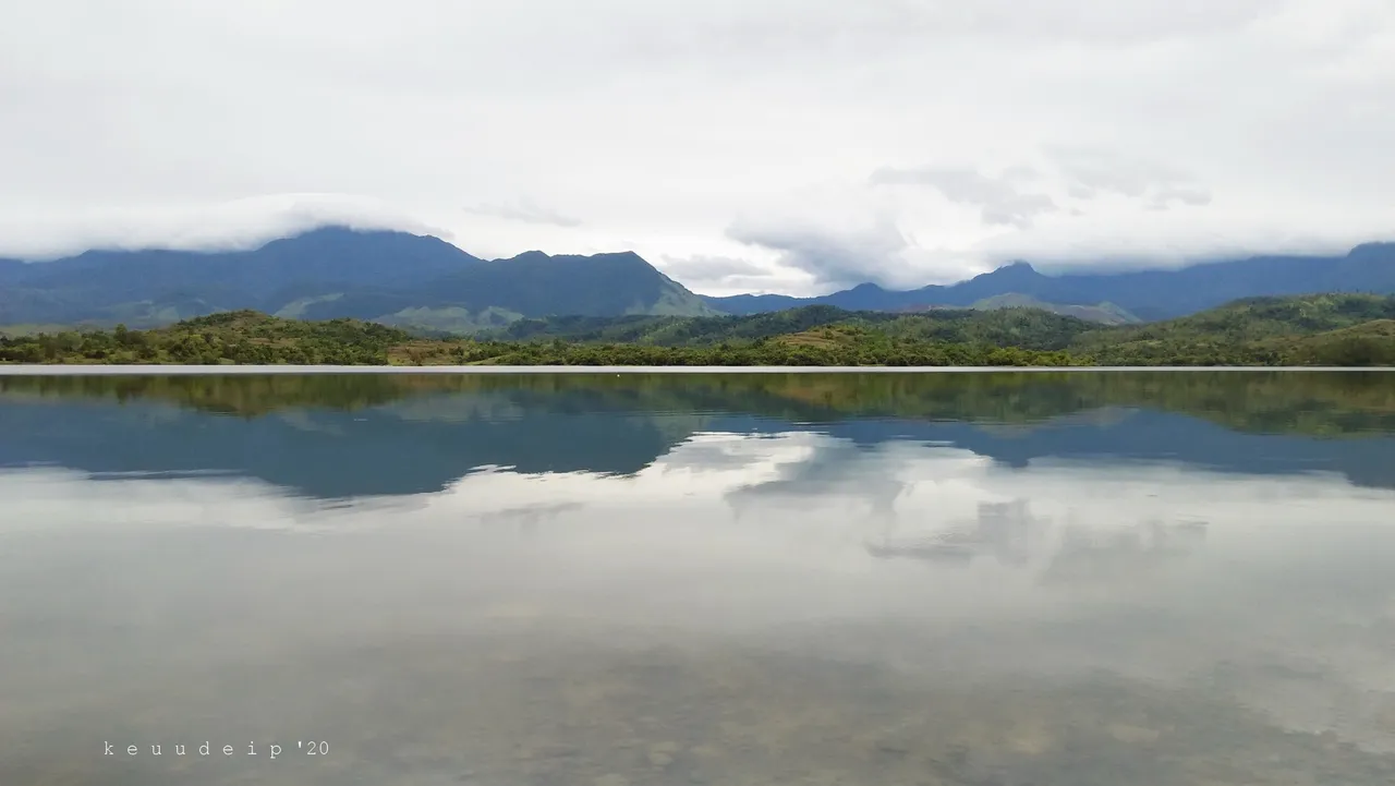
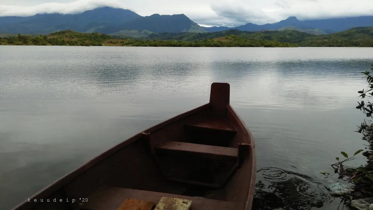
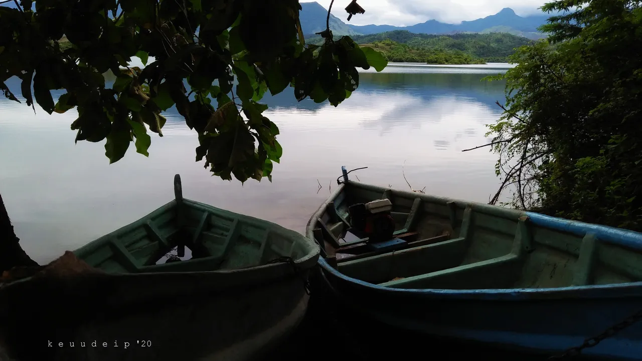
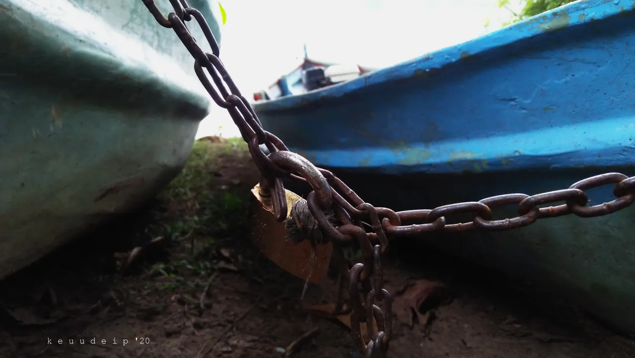
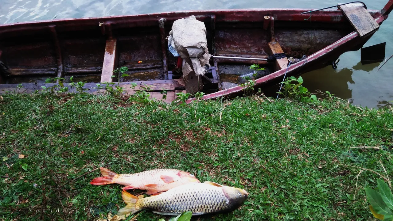
Some of the canoes seen there actually belonged to the anglers.
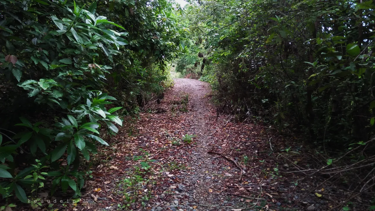
Unsatisfied at one location, I went for a walk down the footpath to have a look around.
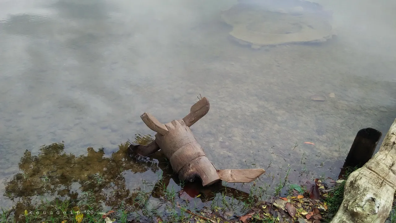
It turns out that there was once life here which, for some reason, has been abandoned.
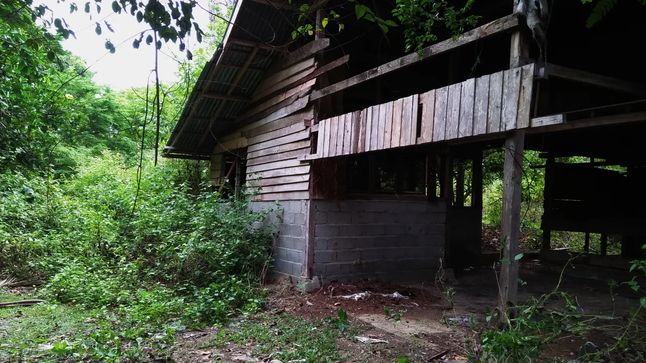
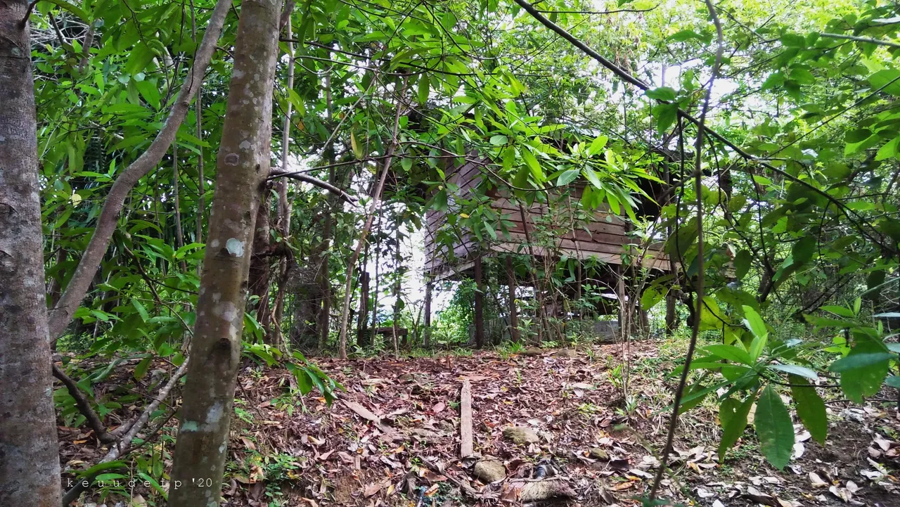
From behind the bushes, I also saw a cabin built on fairly high pillars. It is enough not to be disturbed by the animals that roam the forest during the day or night such as wild pigs or others. But I'm not sure it's still in use today.
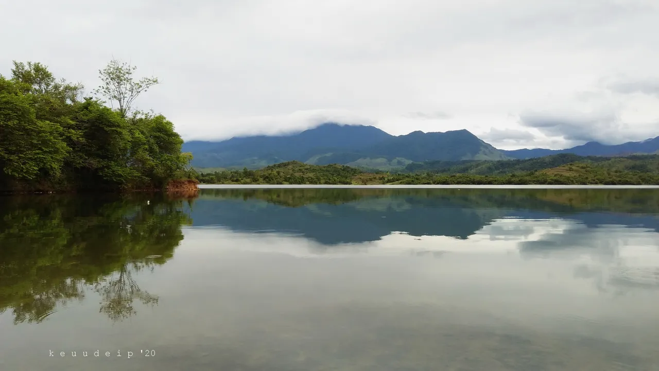
After I continued my steps, I then found an open area that showed a view of the lake and mountains that seemed to be shrouded in fog at the top. Very beautiful! But it seems that there are still plenty of places that I should explore next time.
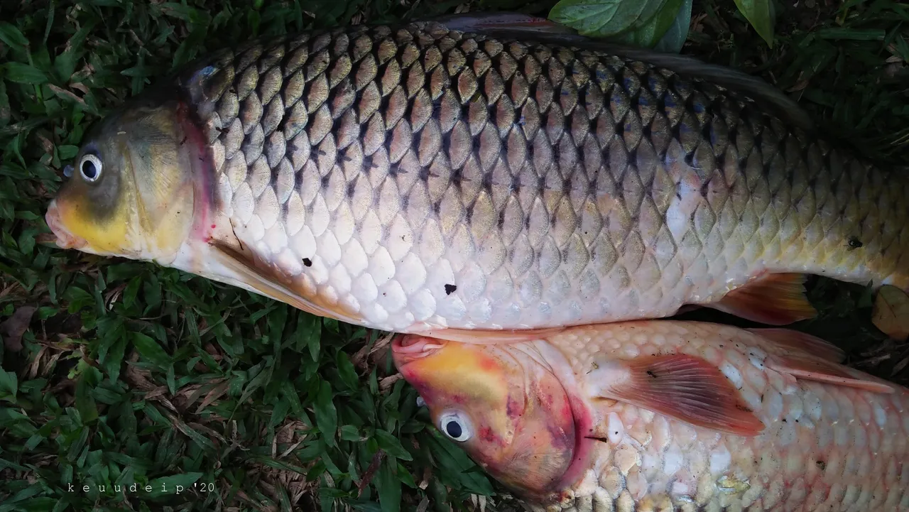
I returned to the first location, and was surprised by some of the anglers who had just returned with their canoe along with their catch fish. They don't actually fish, but they dive in the middle of the lake to catch the fish. Pretty big carp (The common carp; Cyprinus carpio), in my opinion. Excited, I bought their catch of fish at a price I thought was very cheap compared to the price of the fish in the market.
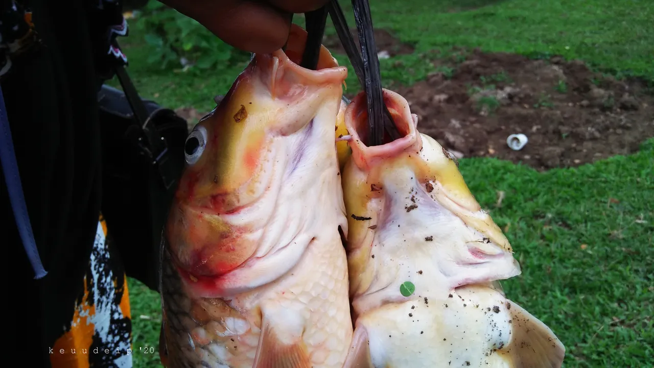
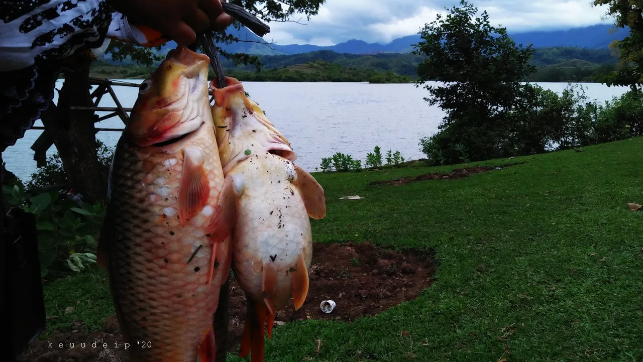
Going home carrying fish from the reservoir lake, I thought, was a fun trip for me. But I'm still curious about a lot of things there.
"My blog is my journal" (short notes containing experiences about various things).
Thank you for visiting.