"Bandar" is derived from Persian which roughly means port city. The word was later adopted and became popular among the Malay community in Southeast Asia (for example, you know the name of the capital city of Brunei: Bandar Seri Begawan). In ancient maritime times, there were many port cities between India and China, and one of them was Bandar Lamuri, which is located in northern Sumatra, at the gate of the Malacca Strait, which is an important corridor to Southeast Asia and East Asia.
The port city had collapsed a long time ago (around the end of the 15th century), after its fame as one of the ports of spices and various luxury commodities of that era. However, until now the ancient "Bandar" still leaves ruins and several other artifacts as evidence of its existence in the past.
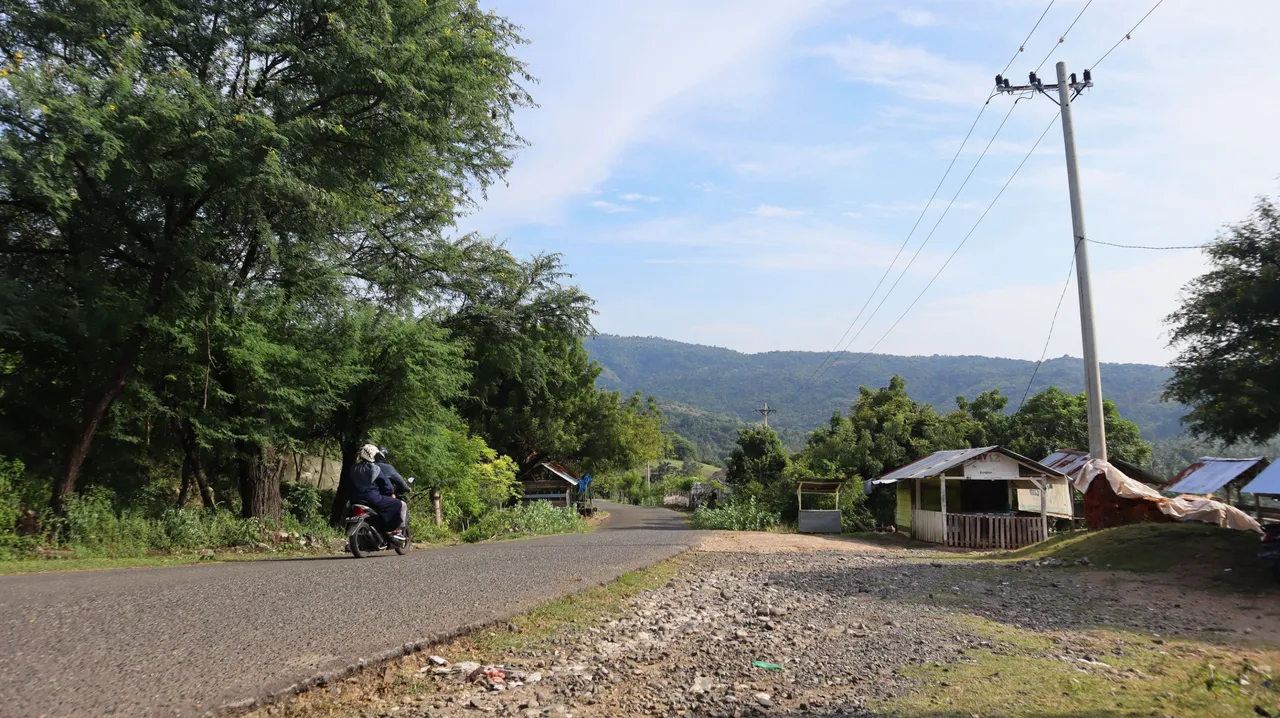
After about two hours of traveling from where I live, I arrive at a hilly area, and we have to climb the hills to get to a place known as Kuta Leubok in Lamreh village, Krueng Raya sub-district, Aceh Besar District.
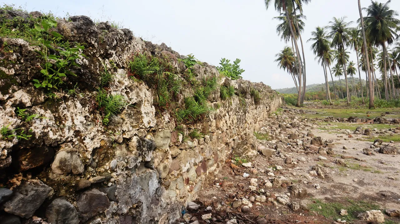
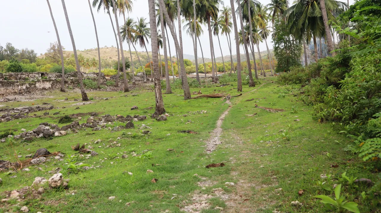
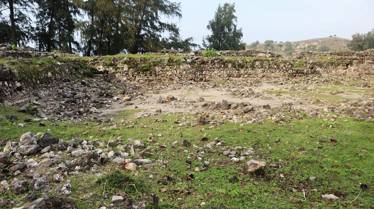
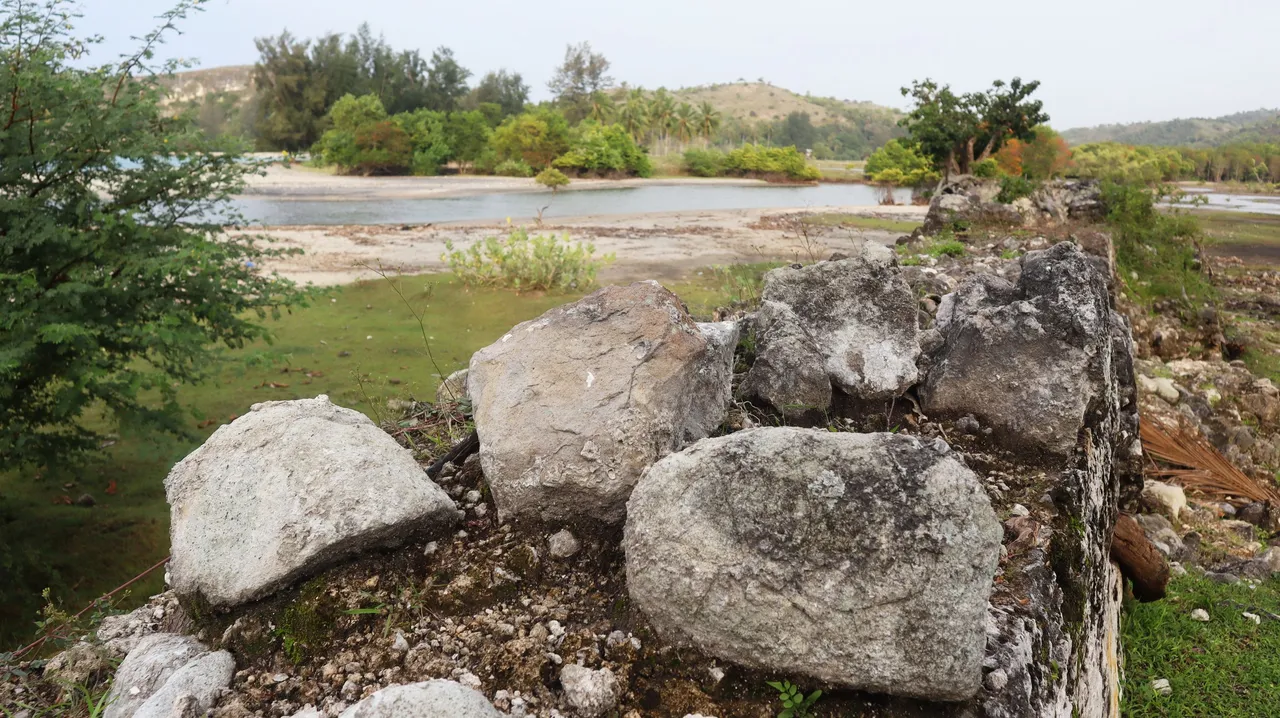
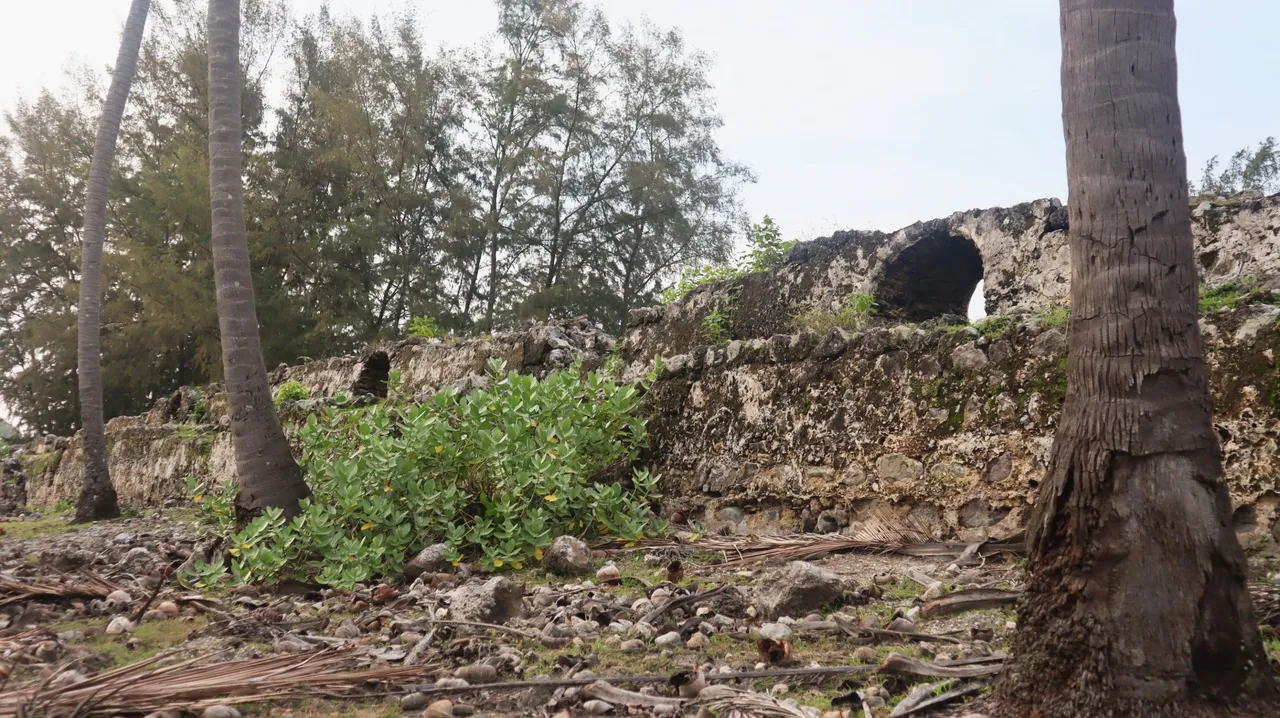
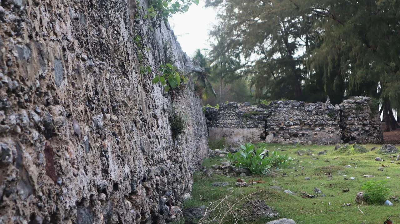
We then have to descend the hills to arrive at a narrow valley that sits between two headlands. In the middle of it, flows a river that is not so wide. When we arrive there, we will find lowlands with lots of coconut trees growing. We can say it is actually a coconut grove. Under the coconut trees, the ruins of an ancient structure were immediately visible. From the conditions seen there, we immediately know that the historical site is in a state of neglect, without conservation or preservation, moreover, it is in a remote place and is still difficult to access.
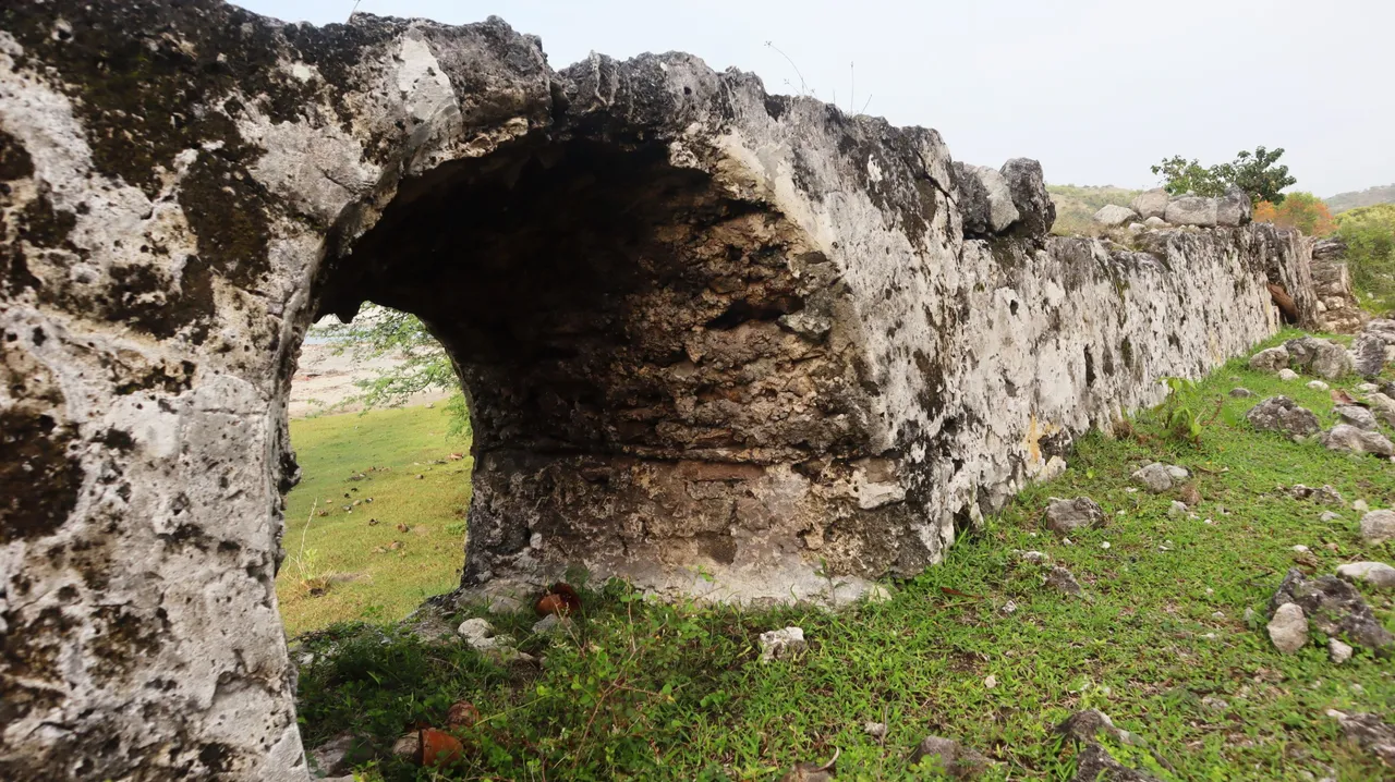
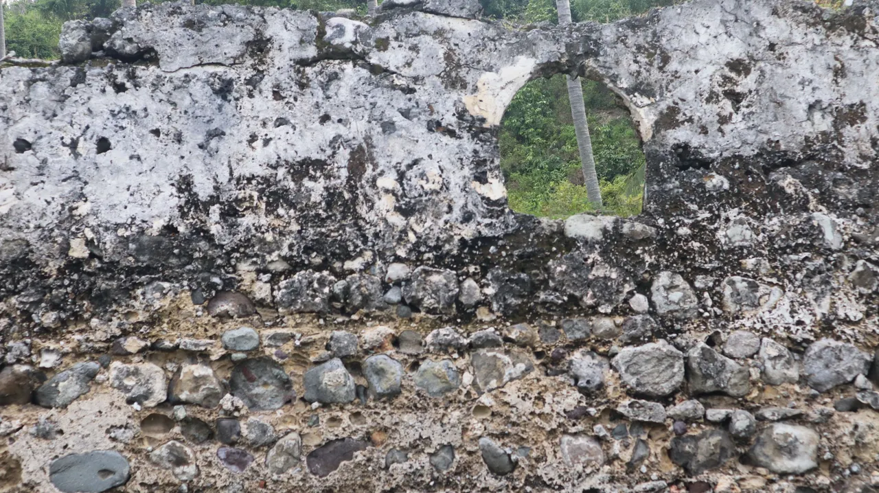
A long and high wall with a thickness that is quite wide that we see there directly represent the structure of a kind of fort. However, local historians have not been able to provide more detailed and convincing information about what this structure actually was.
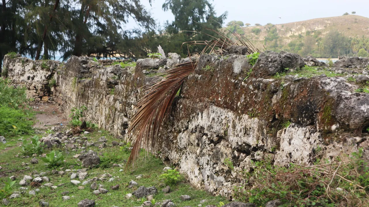
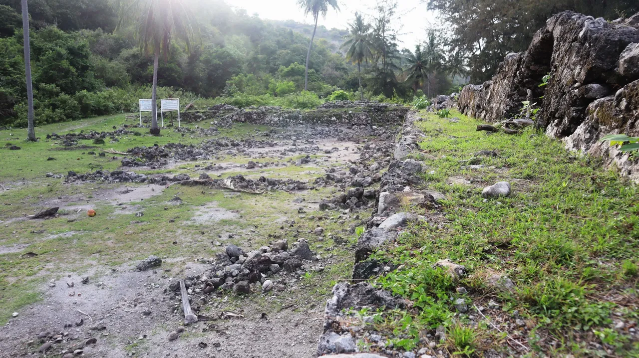
The existence of this structure to the right of the hill which could block it from the afternoon sun coming from the west certainly gave the place cool air and shade, and it was so open to the warm morning sun. For the time being, no other structures such as houses or other ancient buildings can be seen in the site area. However, it seems that the archaeological work is also minimal at the site so that many things have not been identified and much information has not been extracted. For the time being, perhaps we can only assume that the structure is meant for fortification.
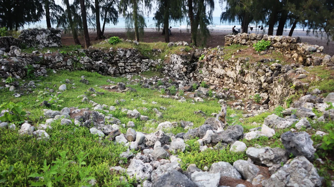
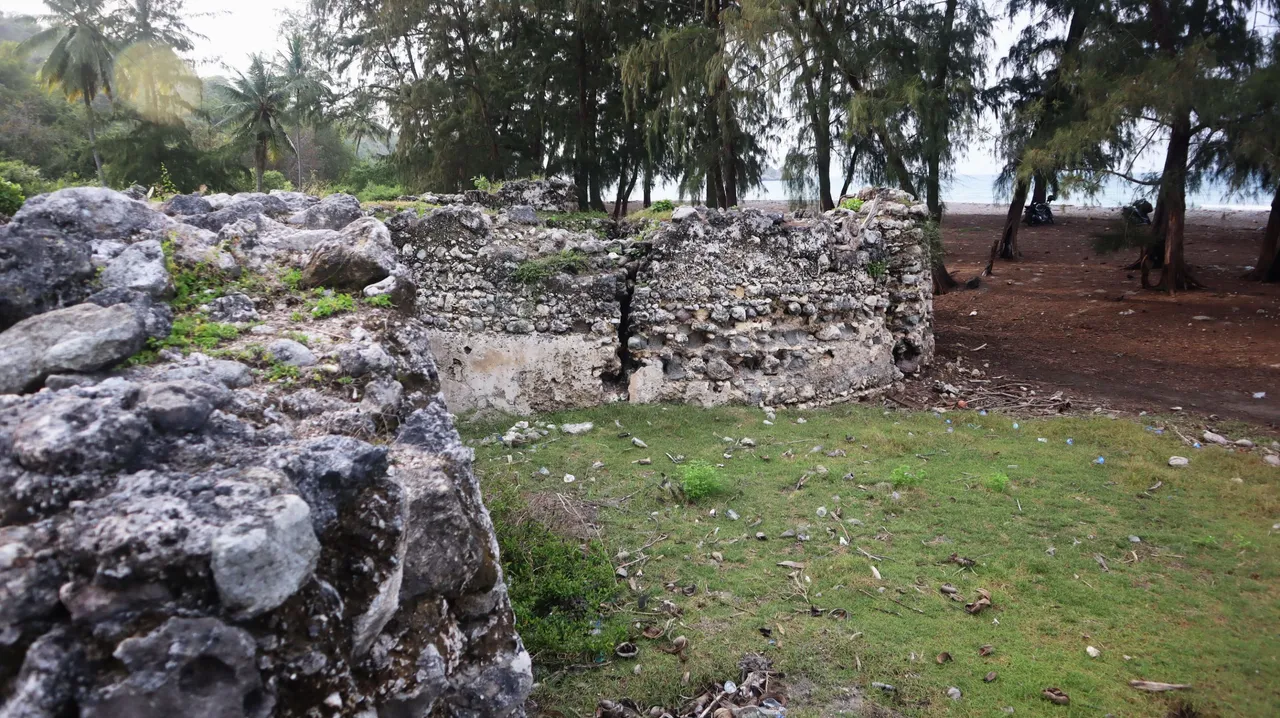

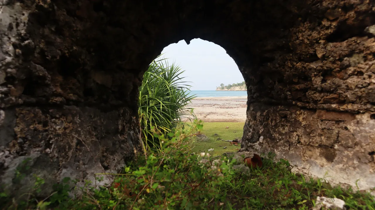
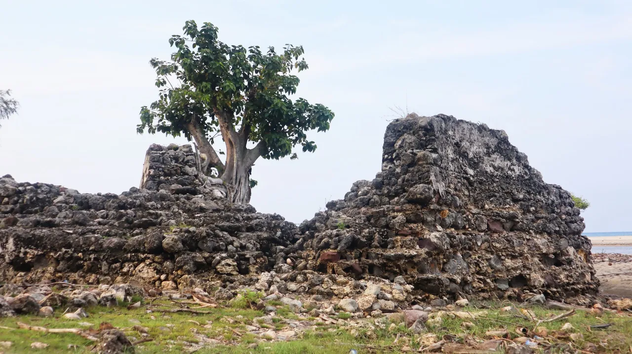
Some parts of the wall itself appeared to have collapsed and were badly damaged, especially the one to the south. The remainder of the structure that still stands out today appears to be an L-shaped, which is oriented south-north, and faces the river that flows in front of it. From some of the holes that are at the top of the structure, we can look towards the bays and headlands on the eastern side of the bay. I stood there for a while to try to imagine when this port city was still inhabited by the cultural supporters of that era and various maritime activities were still being carried out in the bay and the city. But I admit that it is very difficult to imagine life at that time when scientific knowledge of the site was very, very minimal and absolutely useless to reconstruct the past.
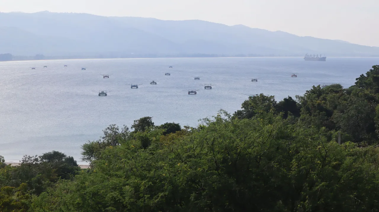
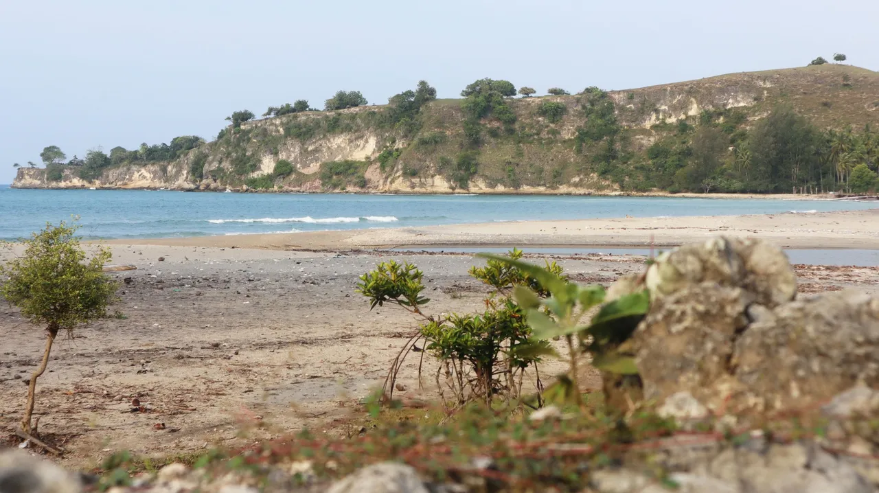
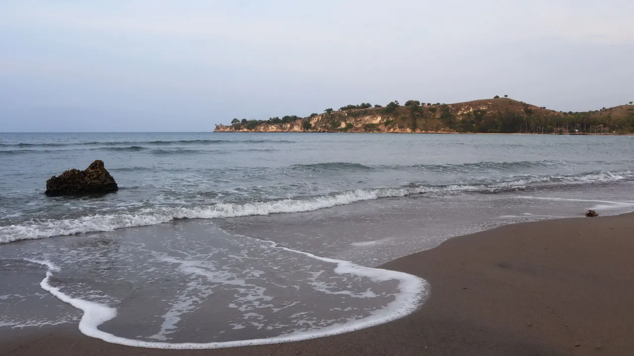
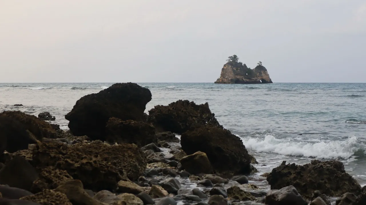
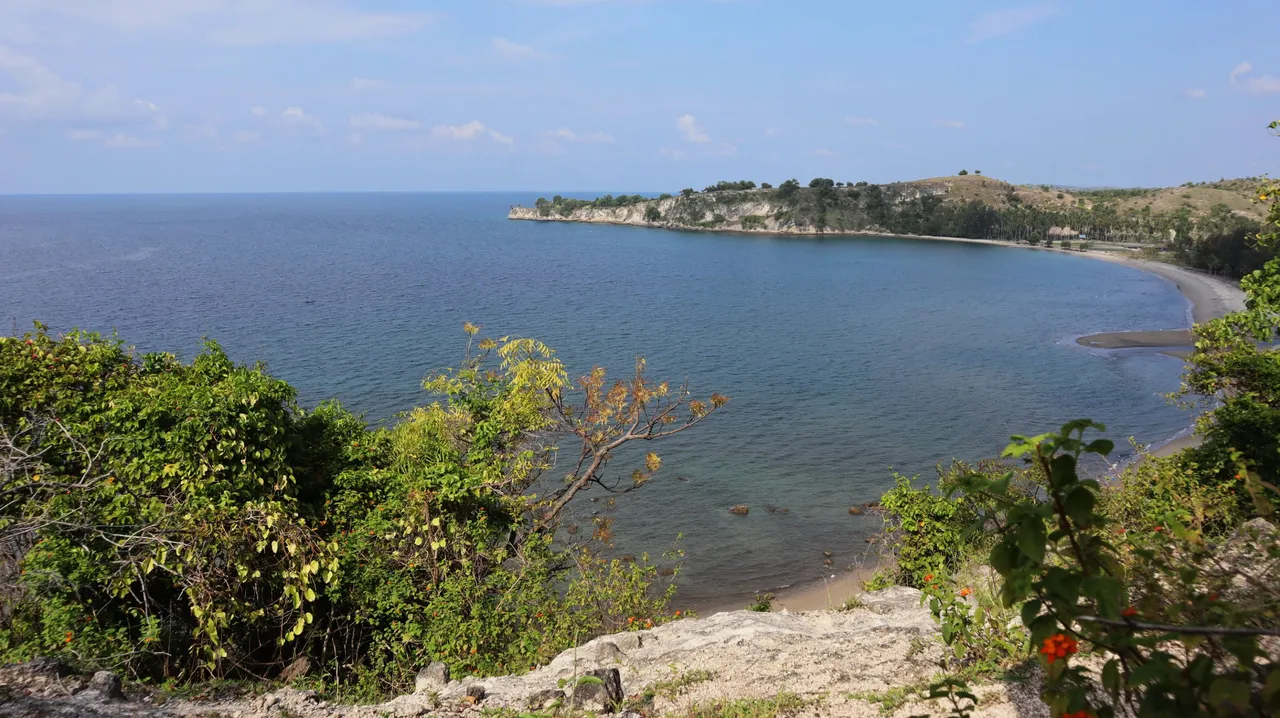
There was a slight disappointment in leaving the ruins, and going along a bushwalk that led to the waterfront where from there I could see a rocky hill across the land where I was. It's a beautiful part of the bay, I think.
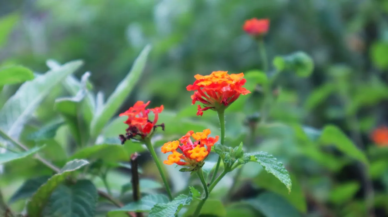
Lantana camara blooms in the bushes around the ancient structure.
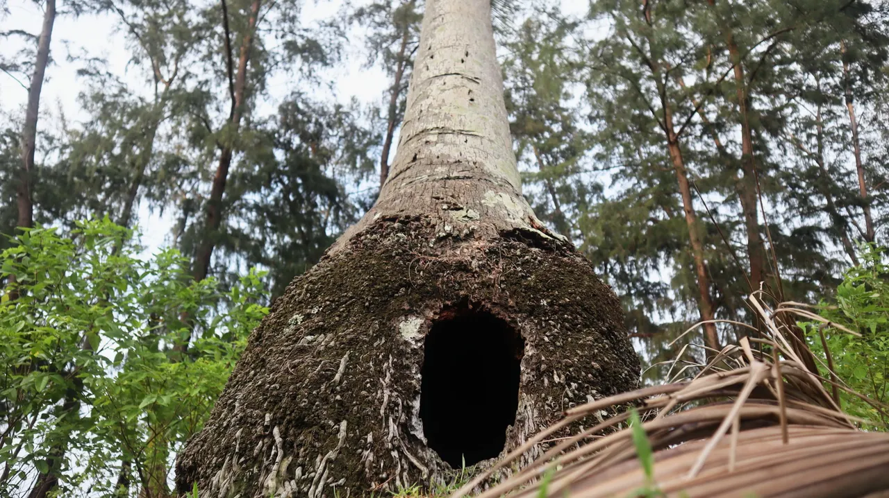
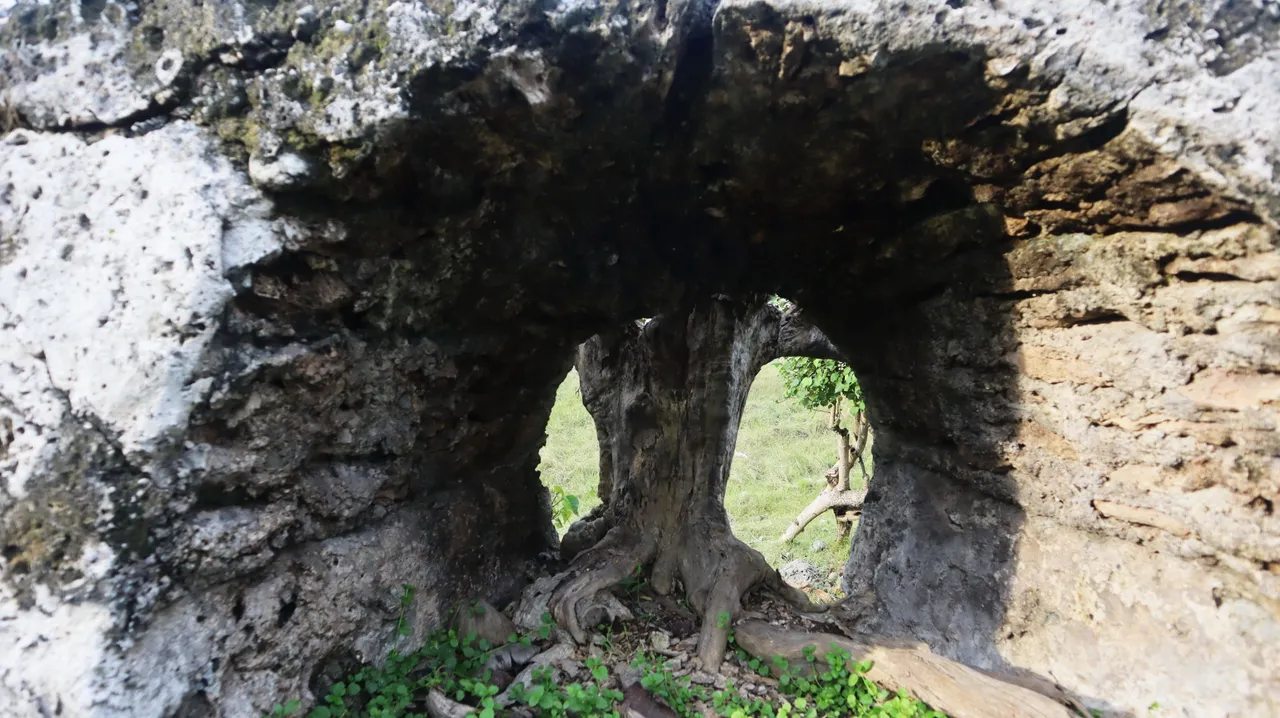
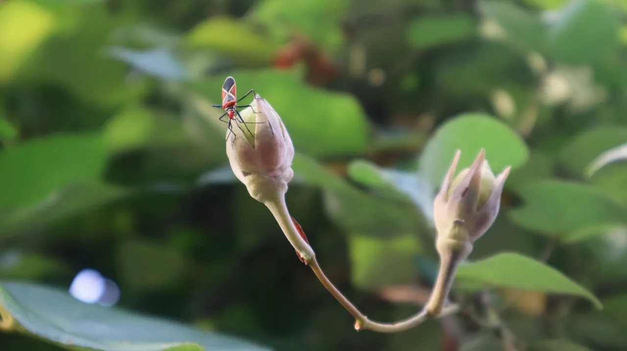
A coconut tree root that seems to have been perforated by an animal that uses it as a place to live. It's still in the same area.
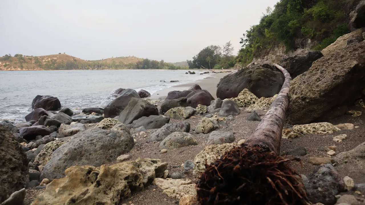
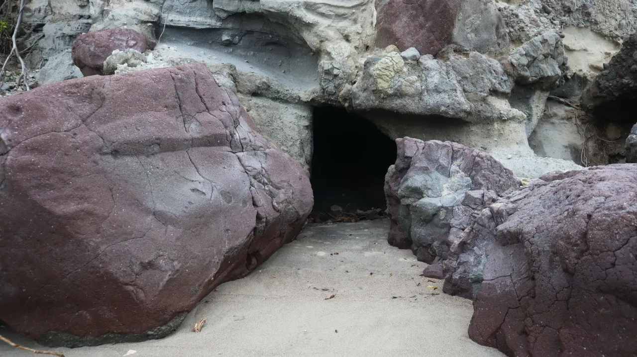
I continued walking and then saw how the abrasion of the coast had rolled down the hilly cliffs.
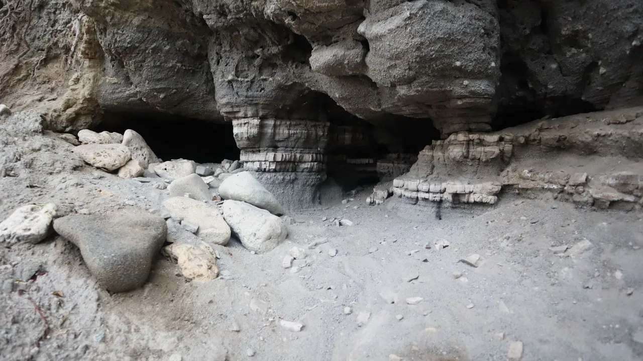
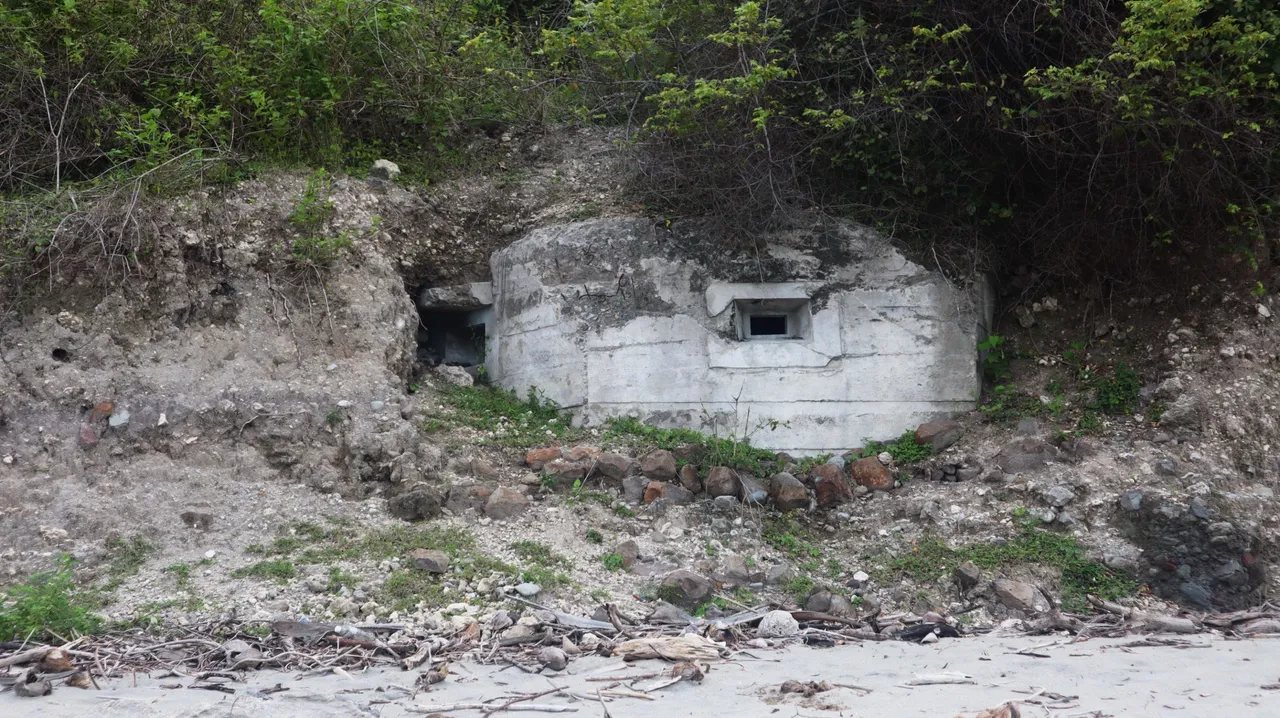
A bunker from World War II appears to be tucked into the slope of the hills.
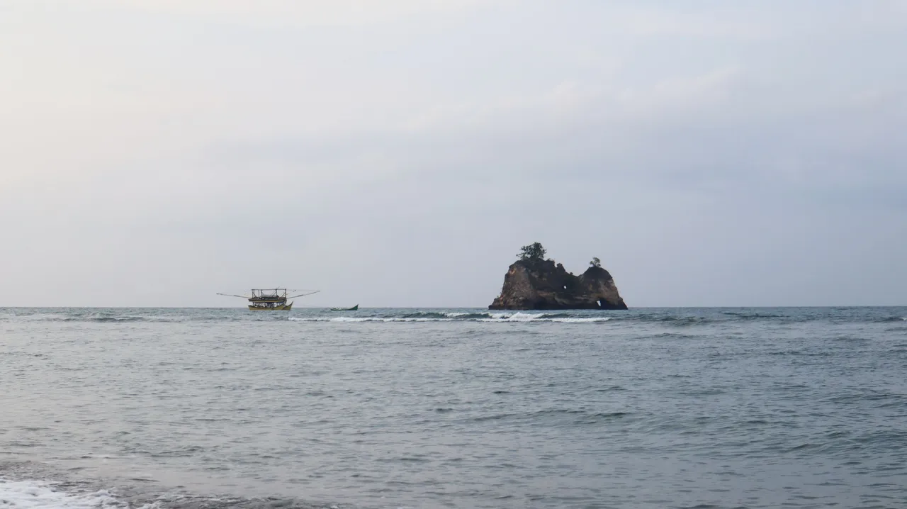
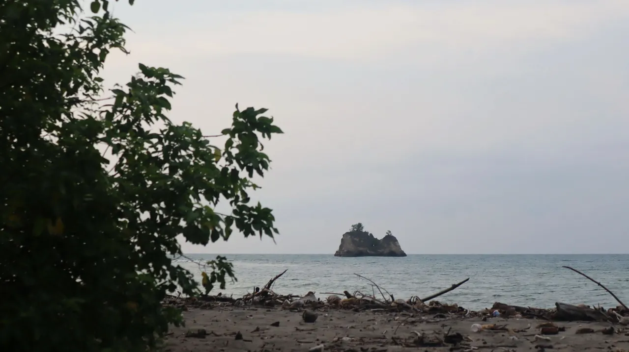
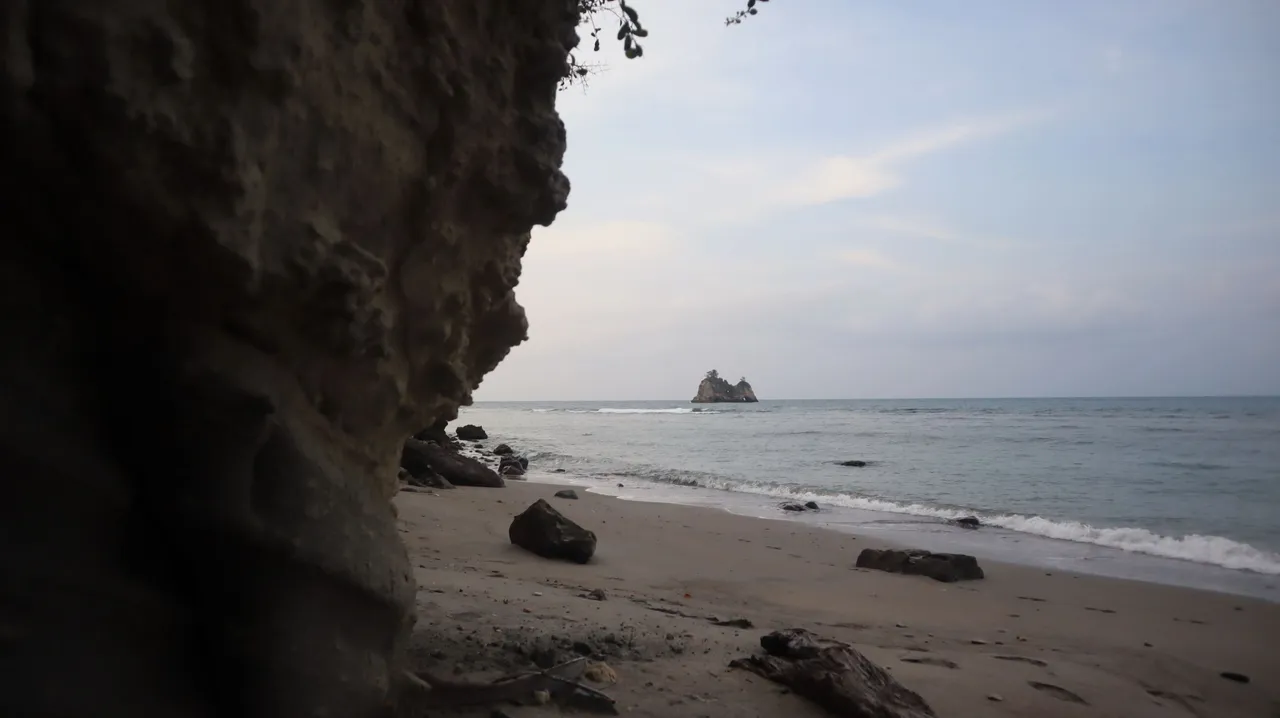
The small rocky island known as the ship rock was seen more clearly in the late afternoon. A fishing raft is seen being pulled by a boat.
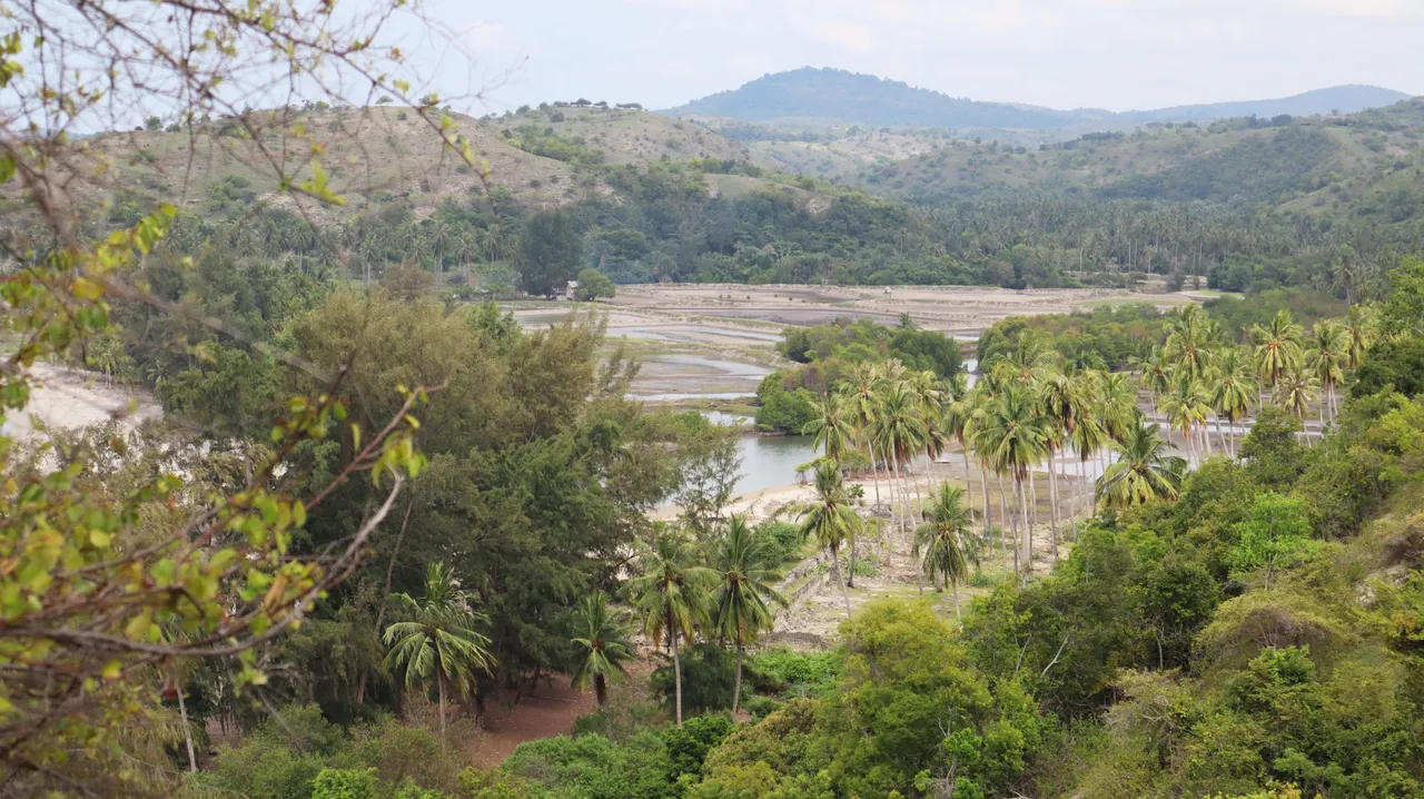
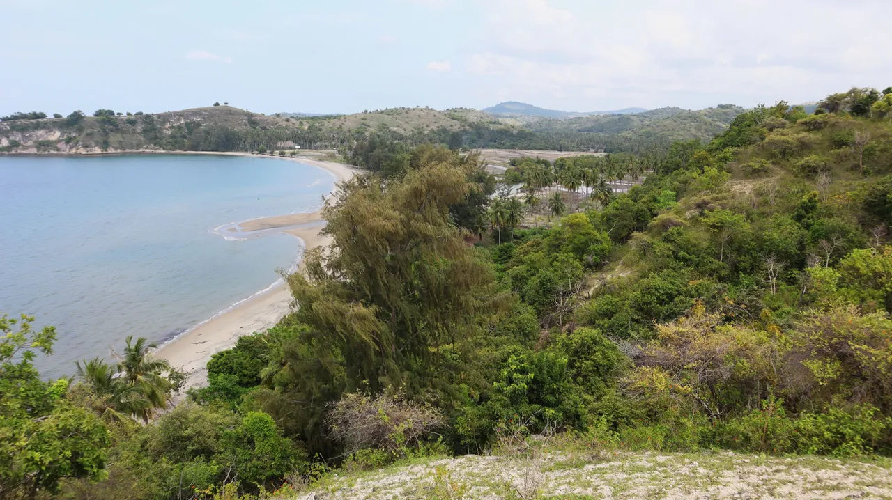
And if we climb the hill which is the western promontory of the bay, the view from up there will look like this.
A historical place that is quite beautiful, but unfortunately, it is without much information that might be told.