April 8, 2023
-Mark Nepo
Life is truly full of unpredictable circumstances, sudden turns, and unexpected paths. It does the same in traveling and taking trails. I can't deny the fact that I've been lost in the woods several times. However, each time I get lost, there is always a discovery.
I didn't get lost this time though, but I made a turn to what I thought was the right way to the peak I desired to reach. However, instead of seeing the highest peak I was looking for, I discovered new places - the Lead Mine Pass and Grassy Hill.
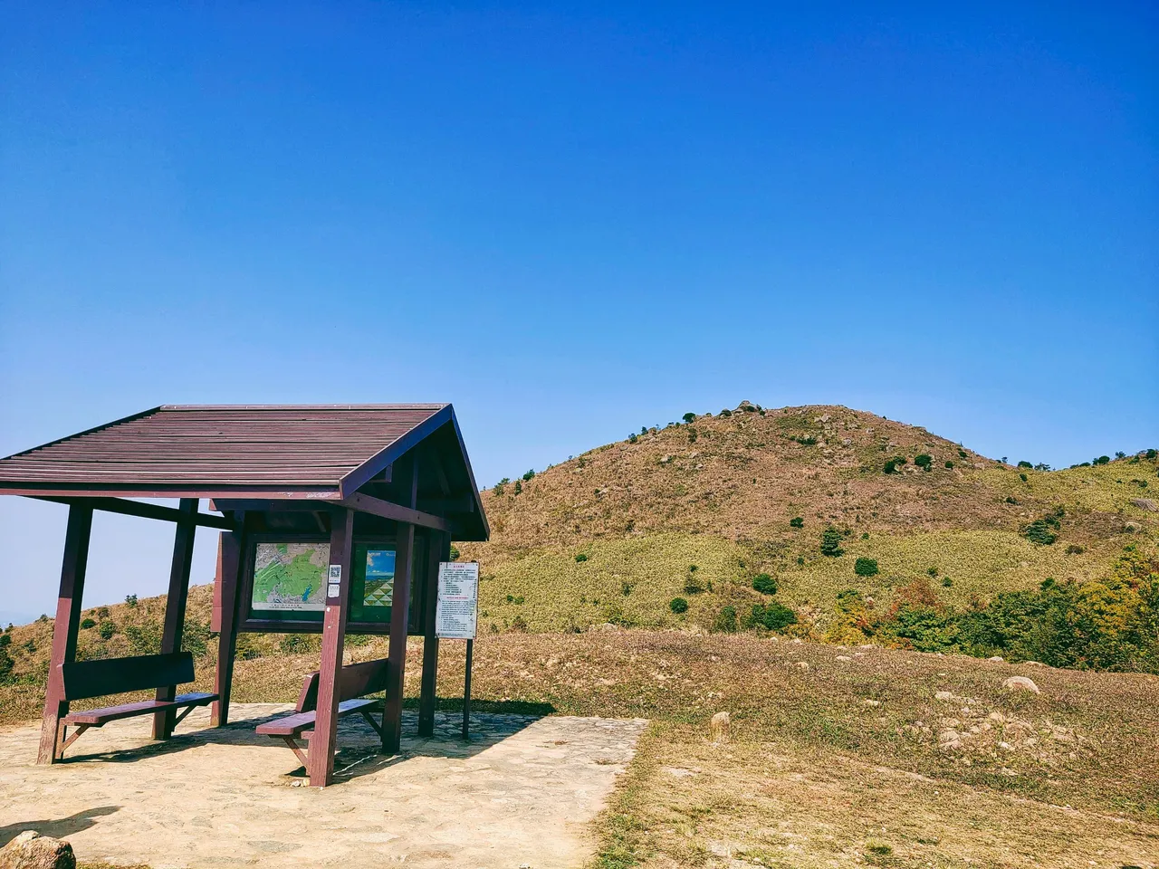
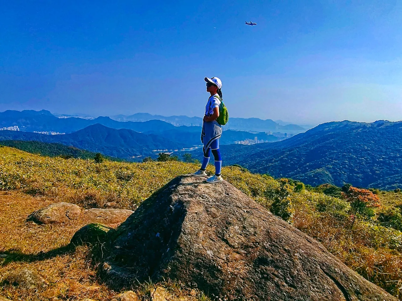
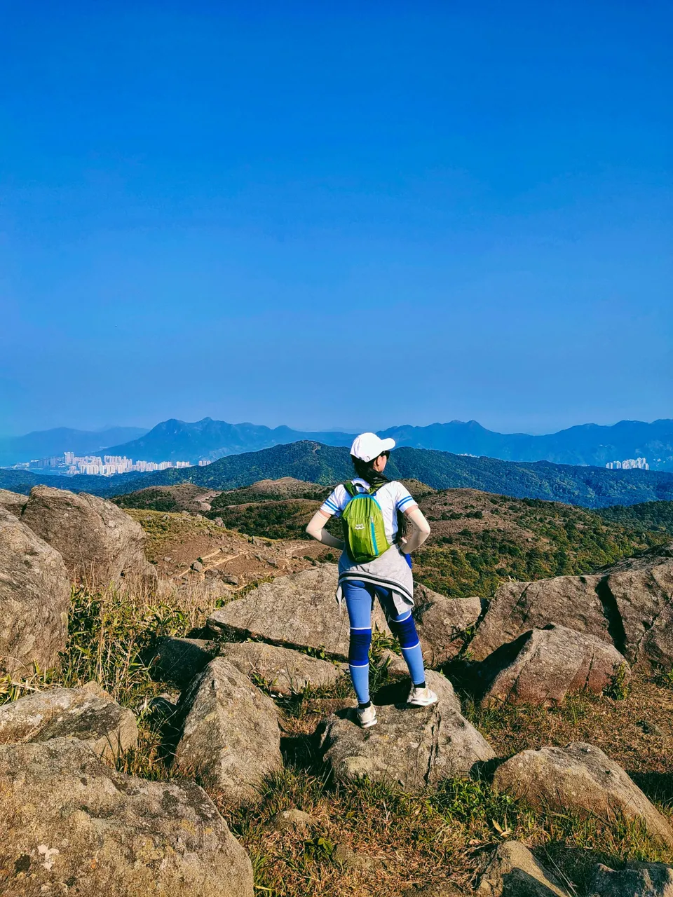
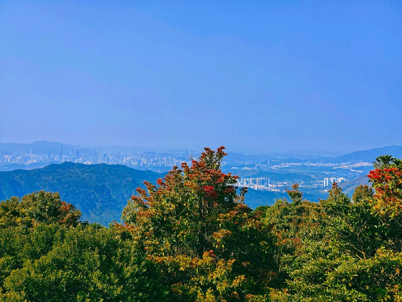
At first, I thought that the Tai Mo Shan peak I was looking for was the mountain in the photo below. However, upon further exploration, I discovered that the peak I desired to reach was on the opposite side.
Since Jane is an explorer and always wants to explore new places, I climbed this mountain before going to my desired peak that day.
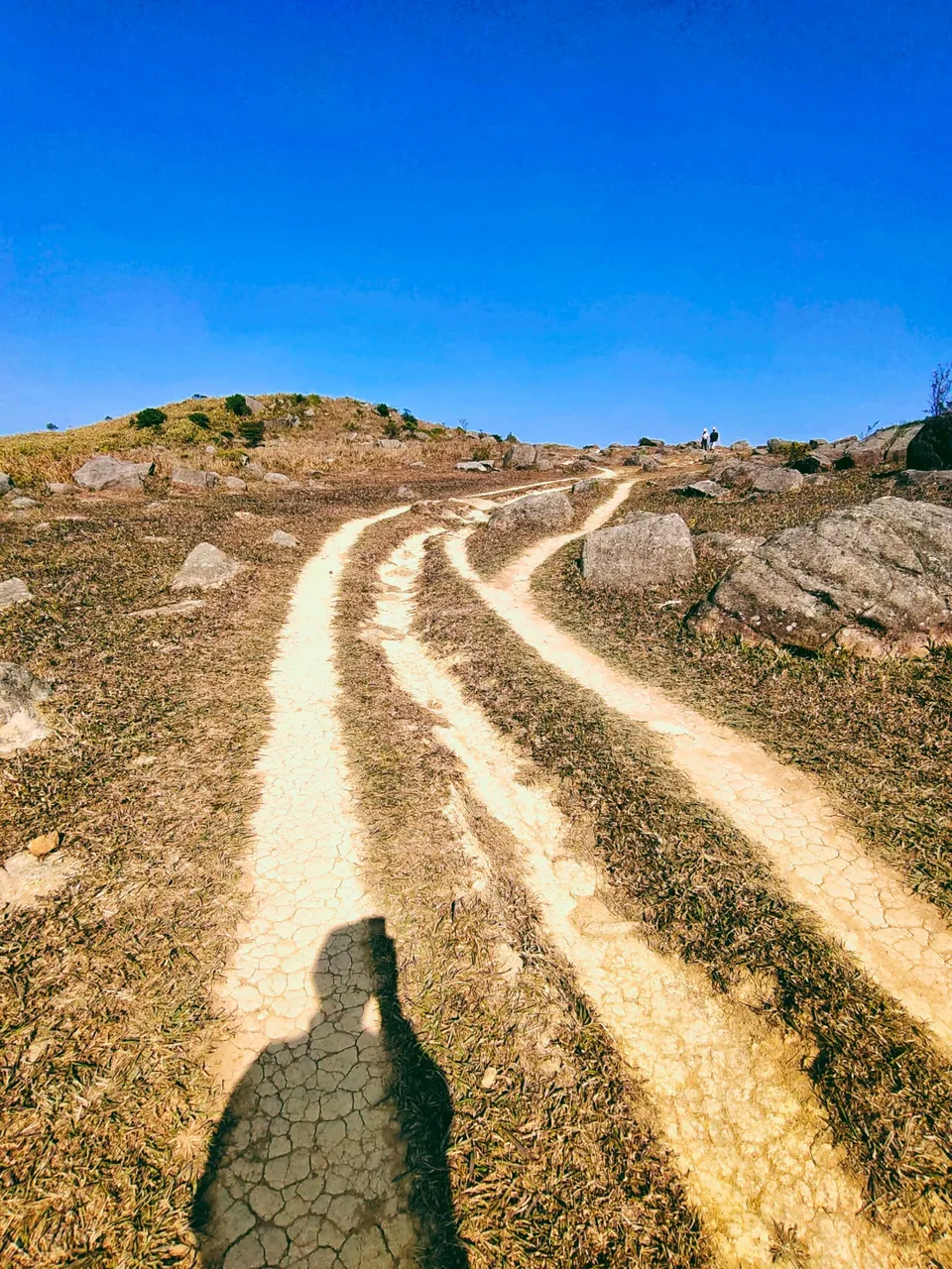
(Taking a souvenir shot before getting back to the trail because I thought it was the highest peak, lol.)
A direction post showed the way to the Lead Mine Pass. It's a rocky mountain situated in the middle of Tai Mo Shan and Grassy Hill in the New Territories of Hong Kong linking the Shing Mun and Tai Po valleys.
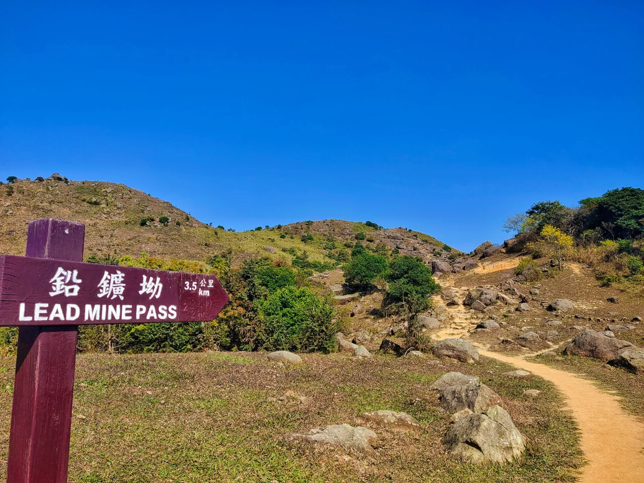
Going up was pretty easy because of the paved paths, but exhausting due to the steep rocky slopes. For those who want some aerobic exercises, this trail is definitely a great place to perspire a lot and burn calories.
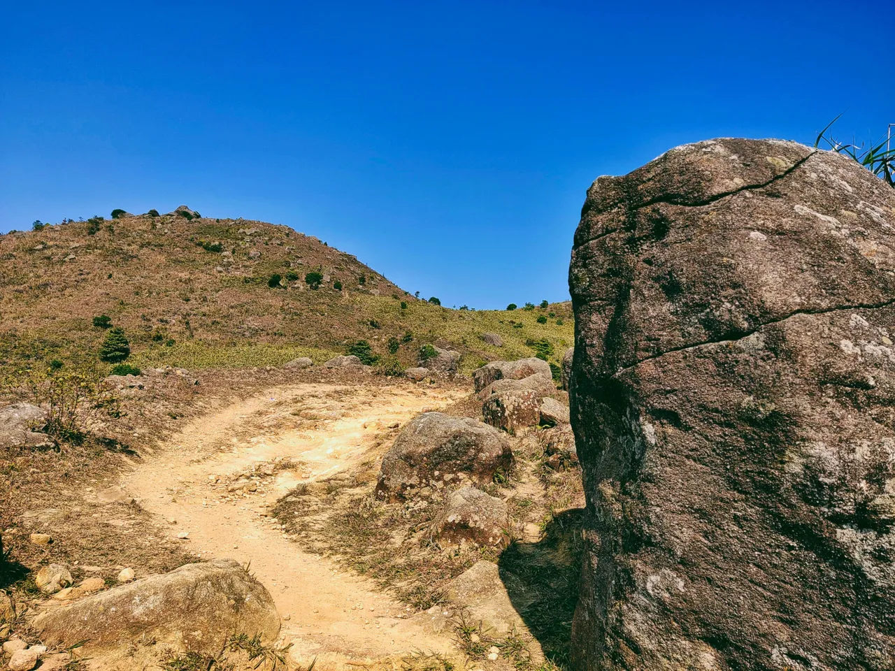
When I saw its name on the signpost, I was excited to discover a mine or wherever it got its name. However, I only saw rocks in different shapes and sizes.
Yet, views from both sides were stunning which paid for my effort of climbing this trail.
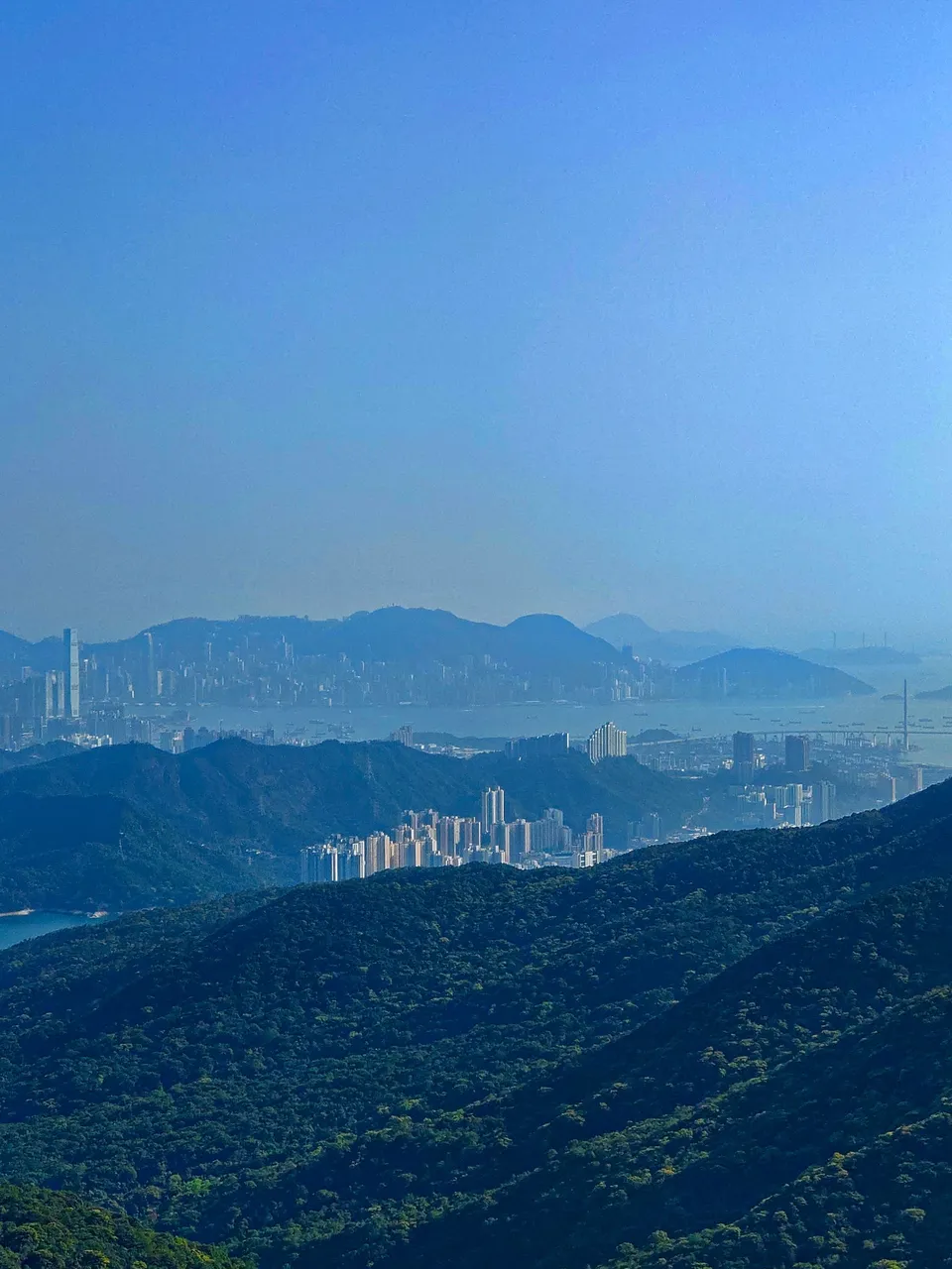
This probably was the Tai Po Valley since I saw Shing Mun on the right.
I've been to Shing Mun in May last year so I was familiar with this view below. I immediately zoomed my camera out to prove my presumptions. Stunning view of the valleys, isn't it?
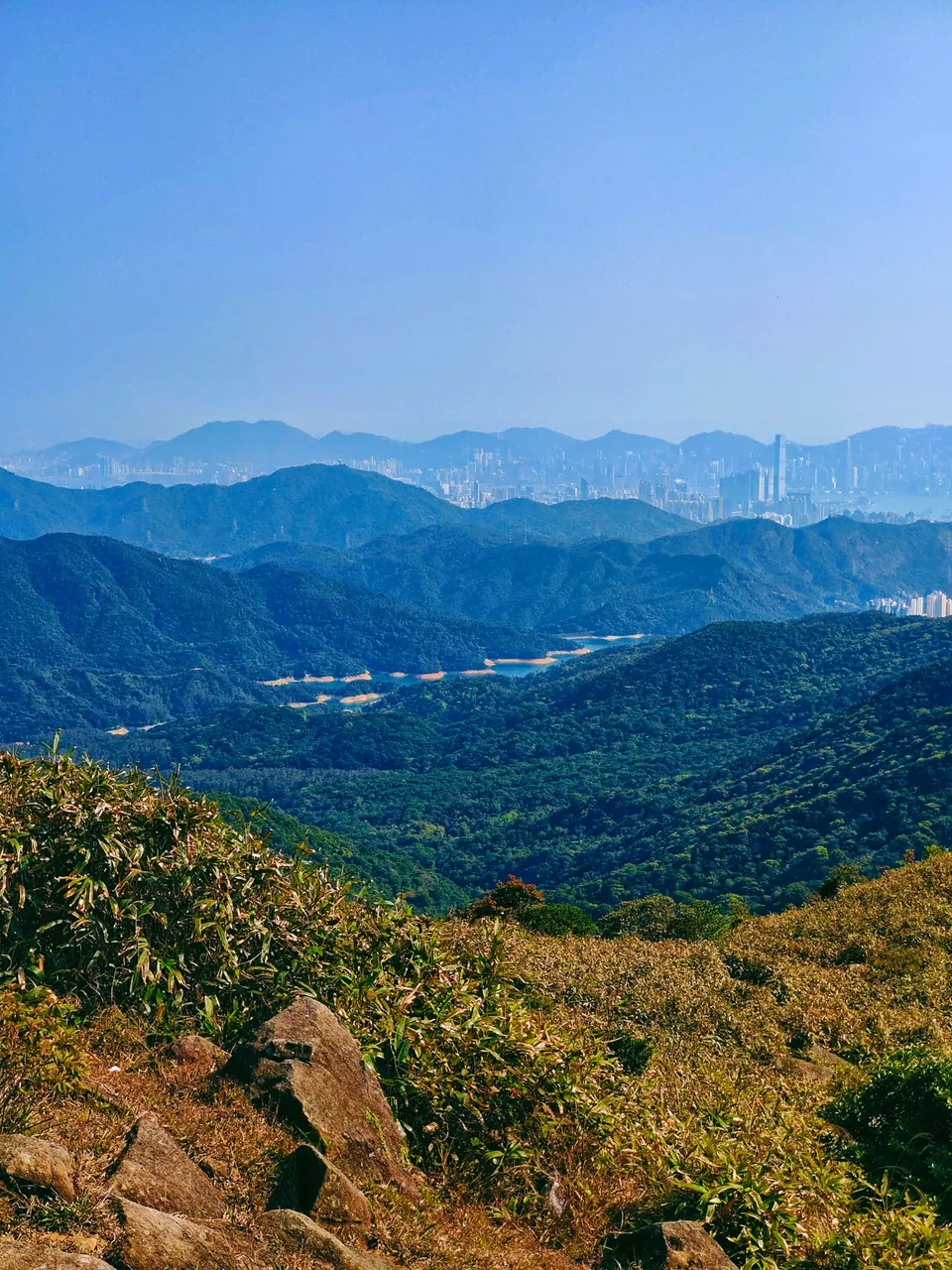
Indeed, it was the pineapple dam winding across Shing Mun Reservoir.
And if I'm not mistaken, this protruding mountain (left side) is the Needle Hill that we also climbed back when we visited Shing Mun. It is visible in its shark peak. The Tsuen Wan and other New Territories cities are visible from atop Lead Mine Pass peak as well.
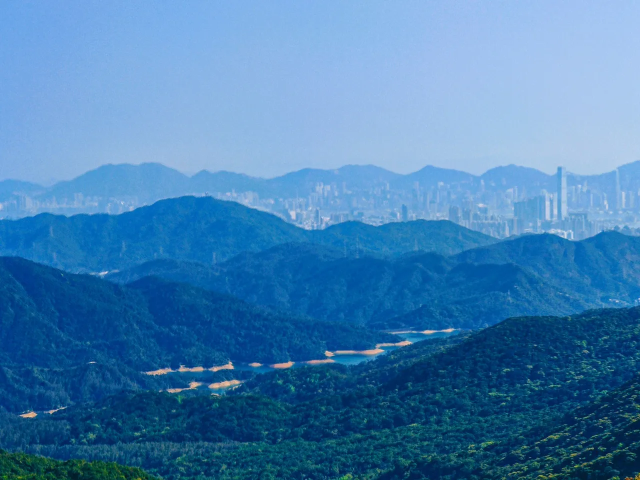
Right-click at the right time. Just after my camera's timer stopped, a plane crossed the sky which was captured in the photo below. The backdrop is Shing Mun Valley and Shatin City behind those valleys.
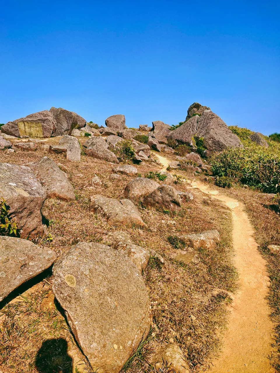
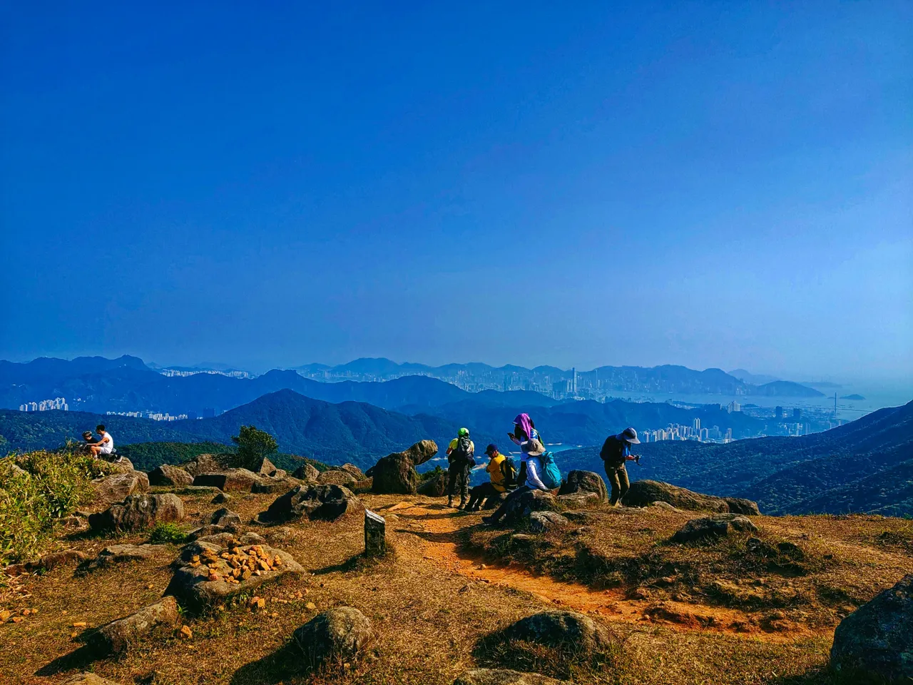
After more than thirty minutes of climbing, including those spent taking photos, I reached the top of the Lead Mine Pass, and hikers who came from the opposite route were resting.
This bending rock formation resembles a kid bowing. Someone purposely drew a happy face on it which became one of the attractions at the peak.
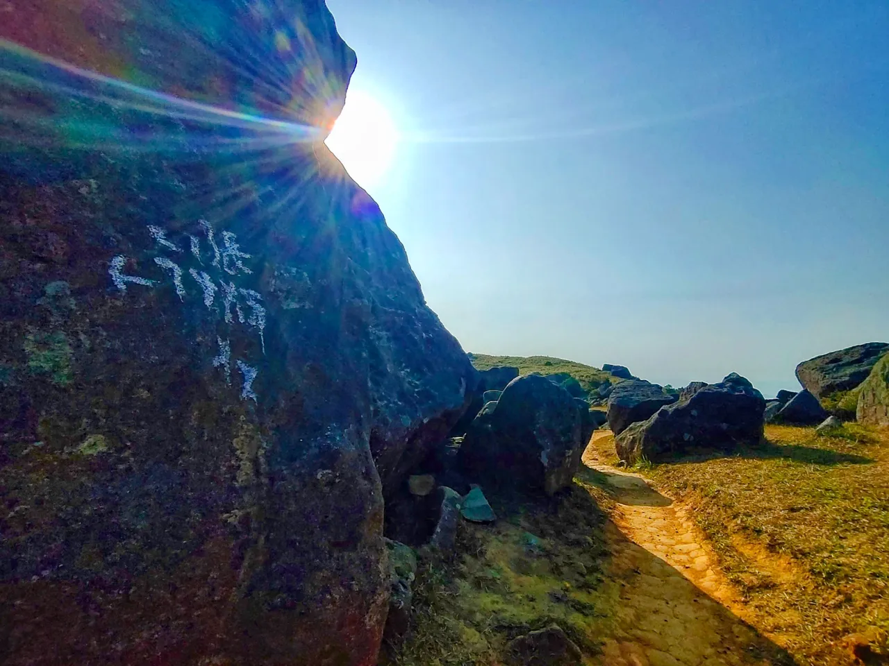
Meanwhile, this massive rock has some Chinese characters painted on it which I couldn't decipher due to the wrong angle. Even Google Translator can't translate it as well so I just presumed that it was the Chinese name of the Lead Mine Pass.
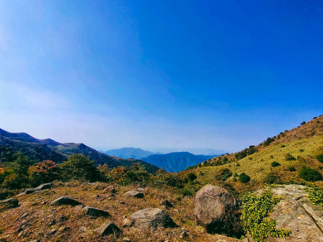
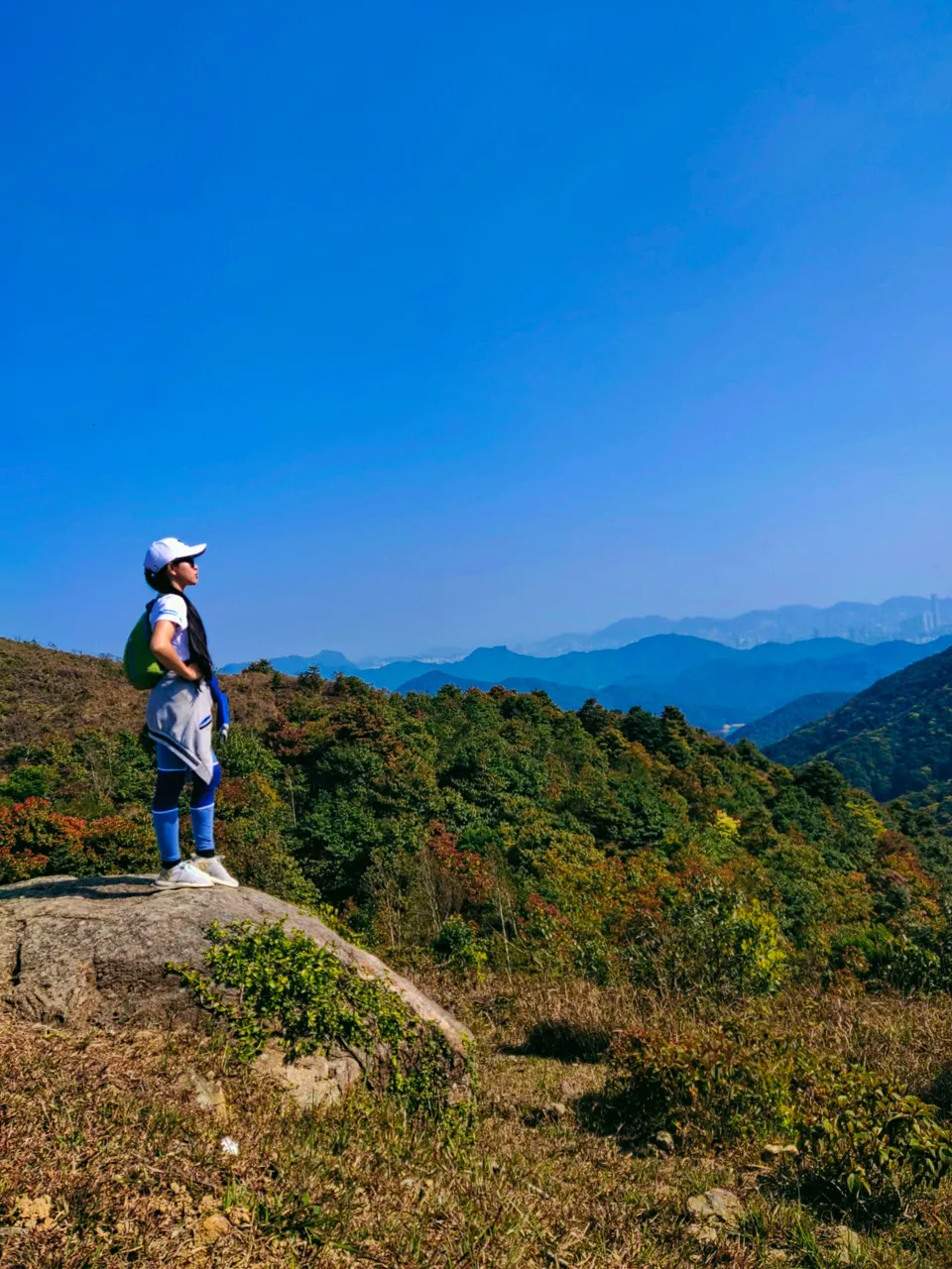
For a while, I stayed in this place admiring the breathtaking view of the New Territories and watching hikers kept coming and going until I was the only one left at the peak. At four in the afternoon, I was still at the Lead Mine Pass and was yet to reach the highest peak of Tai Mo Shan located on the opposite trail which was my initial goal that day.
Who would have thought that I would reach this beautiful place which, in the first place, wasn't on my plan? And while on the top of this peak, I saw more trails going to other neighboring mountains. Atop the hill was a perfect spot for photography.
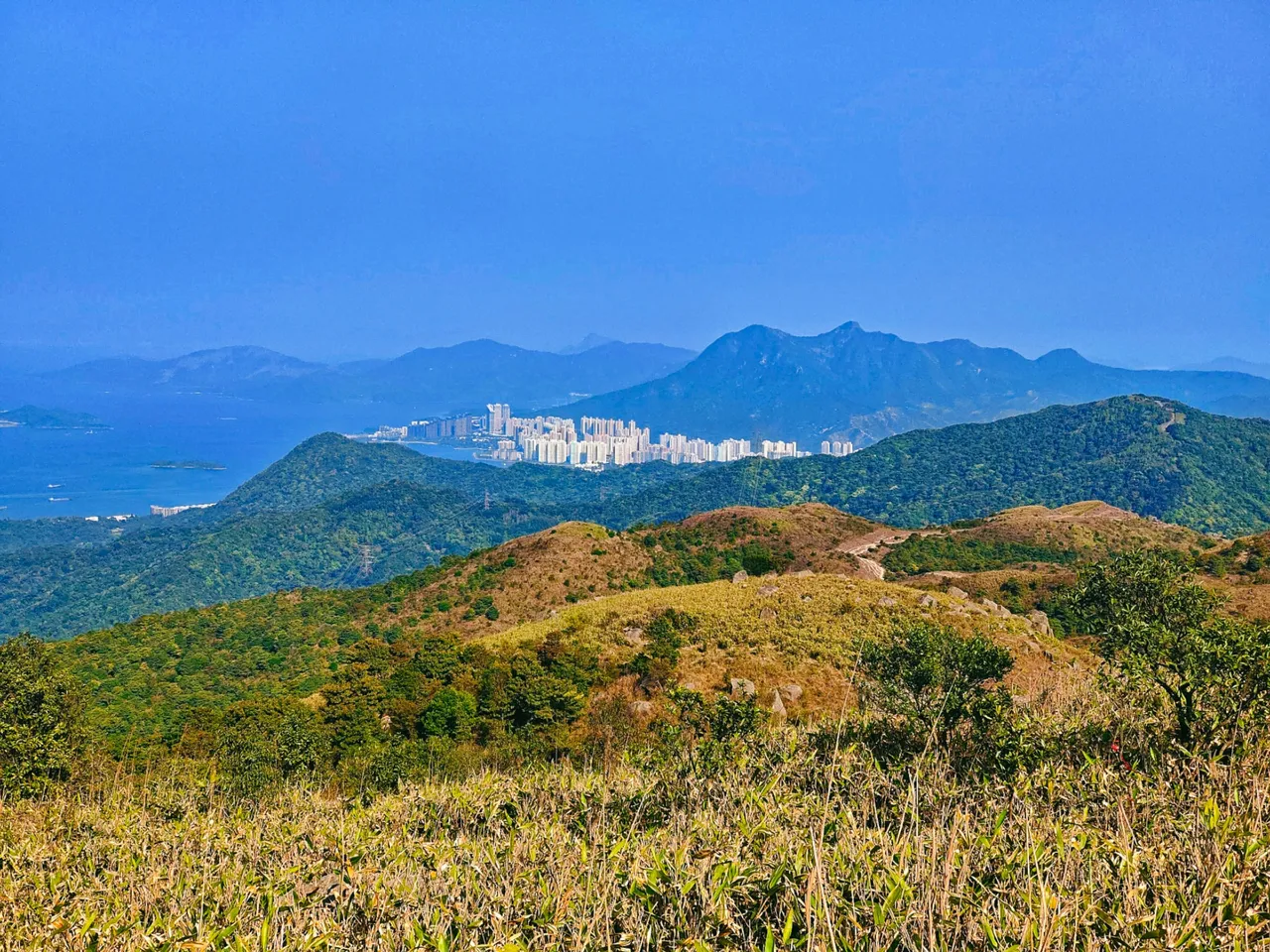
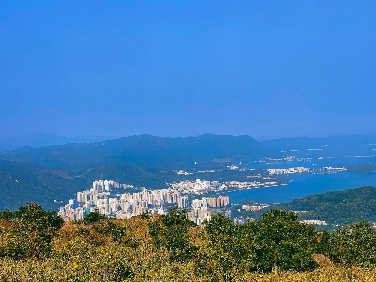
The beautiful cityscapes of Shatin, and the outlying city is the capital of Hong Kong, Central. Hong Kong's notable bridges are also visible from this spot.
Meanwhile, this city is probably Tsuen Wan or Tai Po, albeit uncertain. Those are the only cities I know located close to Shing Mun Valley.
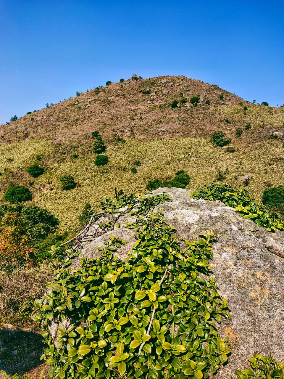
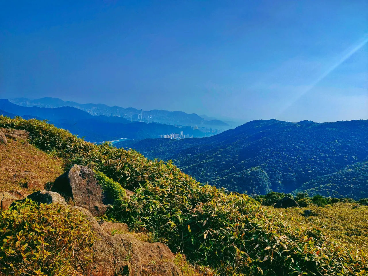
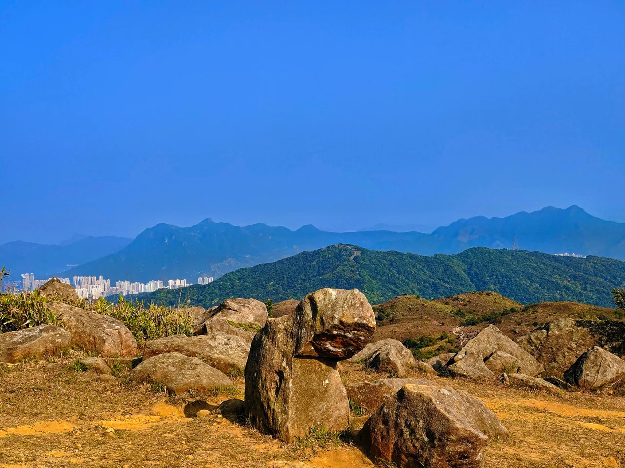
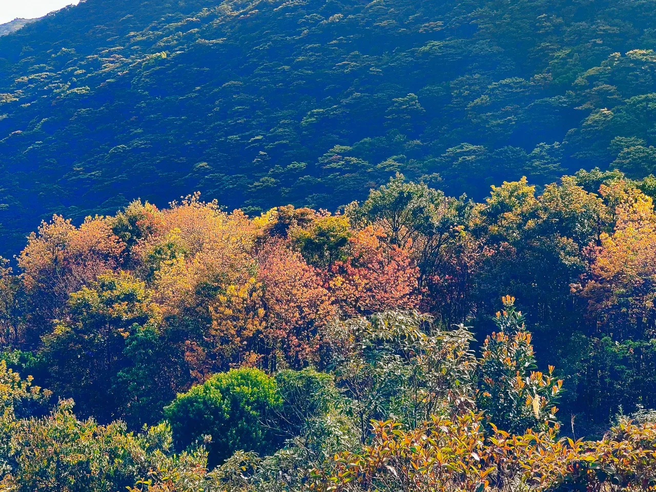
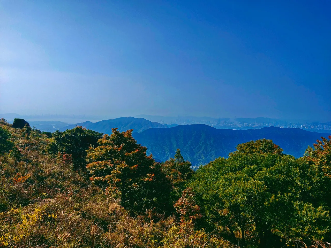
From the top of the Lead Mine Pass, I kept zooming my camera to take shots of the Grassy Hill. Some parts are visible from the trail going up both mountains, Lead Mine Pass and Tai Mo Shan. Grass Hill is evident for its trees with orangish, reddish, brownish, and green leaves. It was the early spring (first week of March) when I visited the place and so some trees are still in red and brownish leaves. The trees' leaves change colors depending on the season. These Grassy Hill valleys are pretty much beautiful when all valleys are green and colorful in the autumn season.
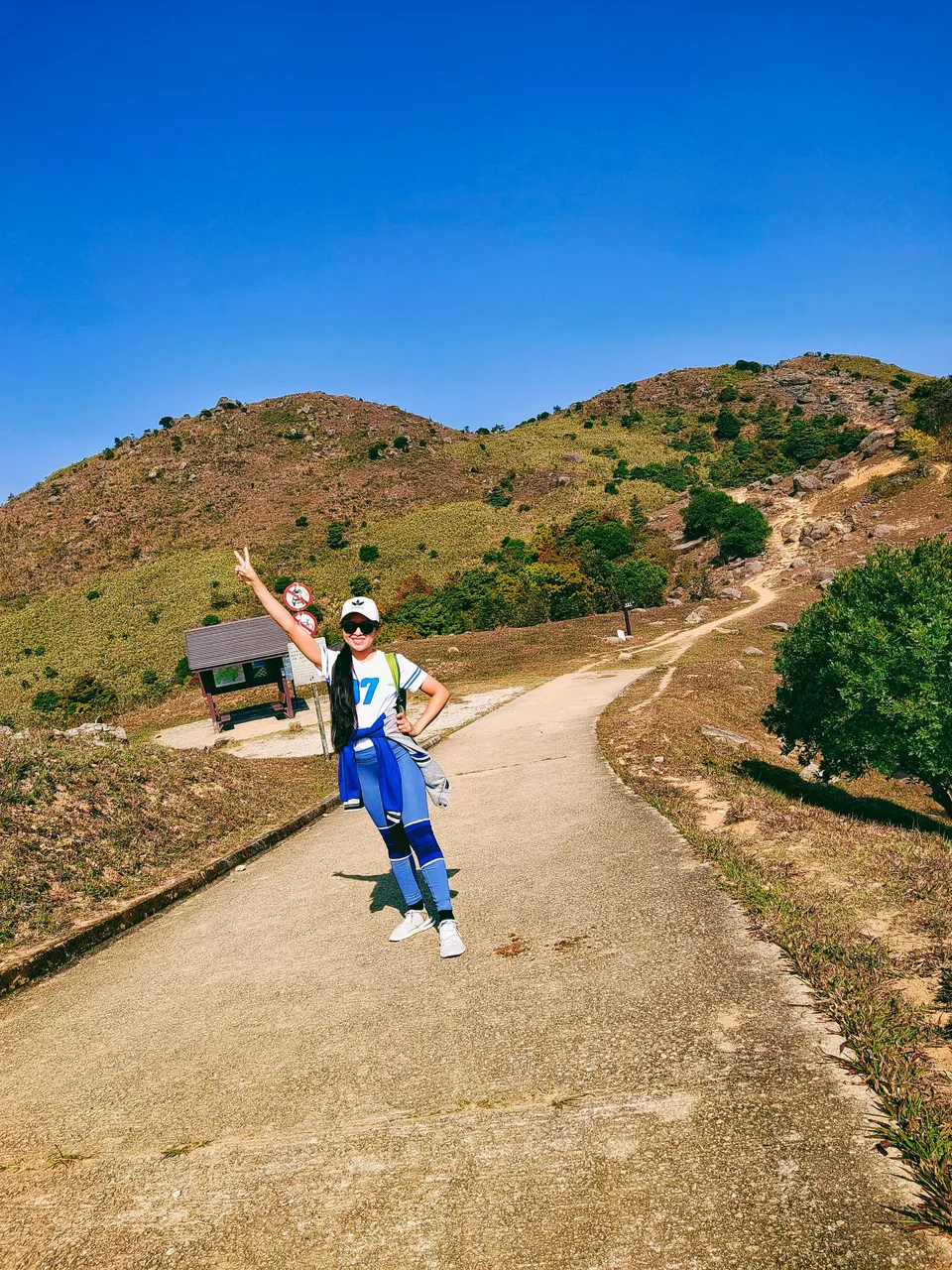
At past four in the afternoon, I opted to go back to the base where the resting shade was located to start, yet another excruciating climb. Can you see that mountain in the photo below? That's the highest peak in Hong Kong which was the next one I climbed that afternoon.
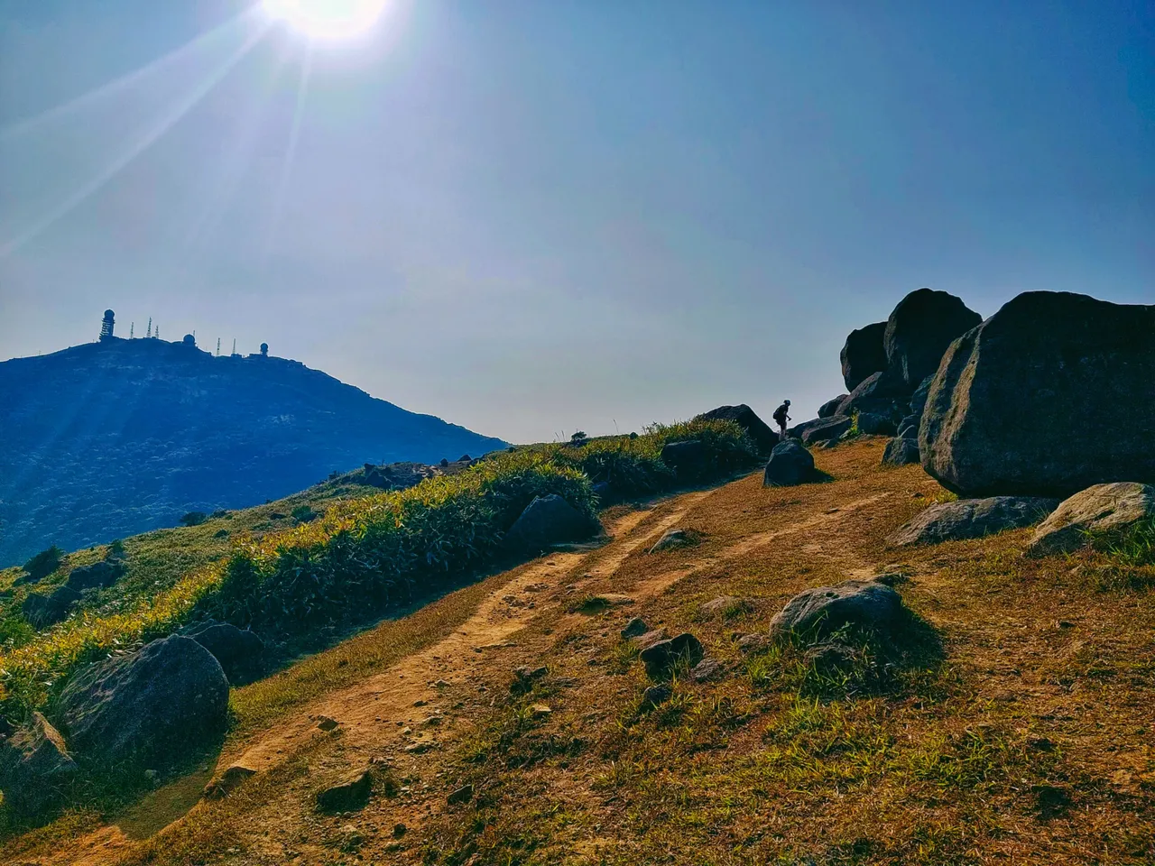
Honestly, I was already exhausted and I thought I couldn't make it to the top of Tai Mo Shan. After the long trek, from crossing the series of waterfalls in the jungle for three hours, and climbing the Lead Mine Pass, my legs muscles were already cramping and almost giving up, but at the same time, I was determined to reach the highest peak in Hong Kong so I continued my journey (resting at some points) while admiring the scenic views along the trails.
If you have read my blog about the the series of waterfalls, I have asked some questions with corresponding rewards for those who could give me the right answers. Unfortunately, no one got the right answers, but I'll be giving some HIVE and POINTS to those who tried their luck, specifically @wittyzell and @tengolotodo.
Now you still have a chance to answer the 2nd question.
What do you think was the possible time I reached the Tai Mo Shan peak?
It was 4:20 when I went down from the Lead Mine Pass and started my journey to the highest peak from the resting shade. Include the time I visited the abadoned building along the ridge near the peak. The prize this time is 2 HIVE and 200 POINTS to the first one who could give me the right or closest answer.
Good luck and thanks for stopping by. See you at the highest peak! That will be next. Stay tuned!
(All photos are mine)

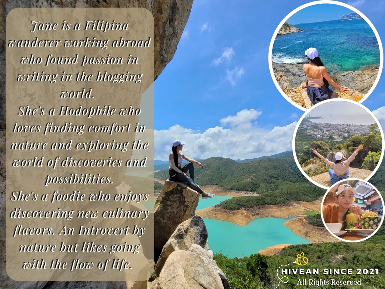
Join her on her quest for self-discovery and wanderlust. If you like her content, don't hesitate to upvote, drop a comment, reblog, and follow for more wonderful adventures. |
|---|
You can also reach me on my socials and let's be connected: