I don't even remember when was the last time that we saw some sunshine where we live, so we were looking for a place where we could enjoy some sunny days during the weekend. I spent hours searching for some place close by, but it was raining almost everywhere in Switzerland.
The only option was to drive to Ticino. This is one of the few cantons that we haven't visited yet, so I was excited to explore it. Ticino has so much to offer. There are beautiful cities, majestic mountains, crystal clear lakes, Italian vibe and most sunny days on average in Switzerland! And we were indeed lucky with the weather. It was sunny almost all the time and the temperature was between 15-17 degrees Celsius which is so different to the constant rain and temperature going down to 0 where we live.
The reason why we haven't been to this part of Switzerland yet is that we need to cross the Gotthard tunnel with its traffic jams easily reaching several hours. To avoid the traffic jam we left home on Friday afternoon to get to the tunnel before the rush hour. And we were lucky! We only waited for about 10 minutes to enter the tunnel. The Gotthard tunnel with its 16.9 km length is the longest road tunnel in Switzerland. There is more than 2000 meters of rocks above the tunnel, so there is a lot of pressure which creates high temperature inside of the tunnel. It was 2 degrees Celsius outside and 34 degrees Celsius inside of the tunnel!
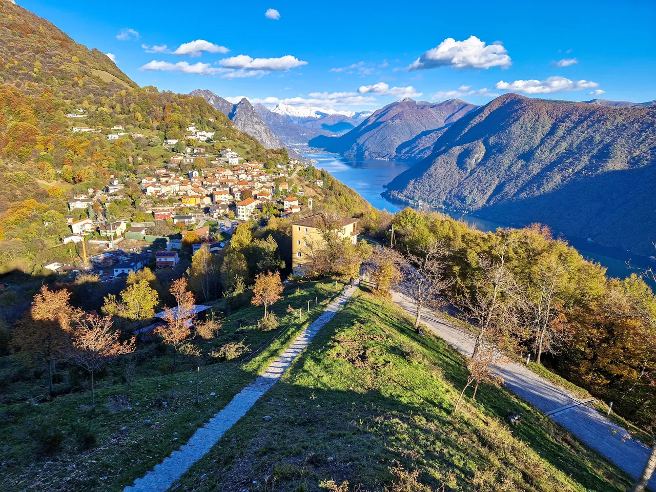
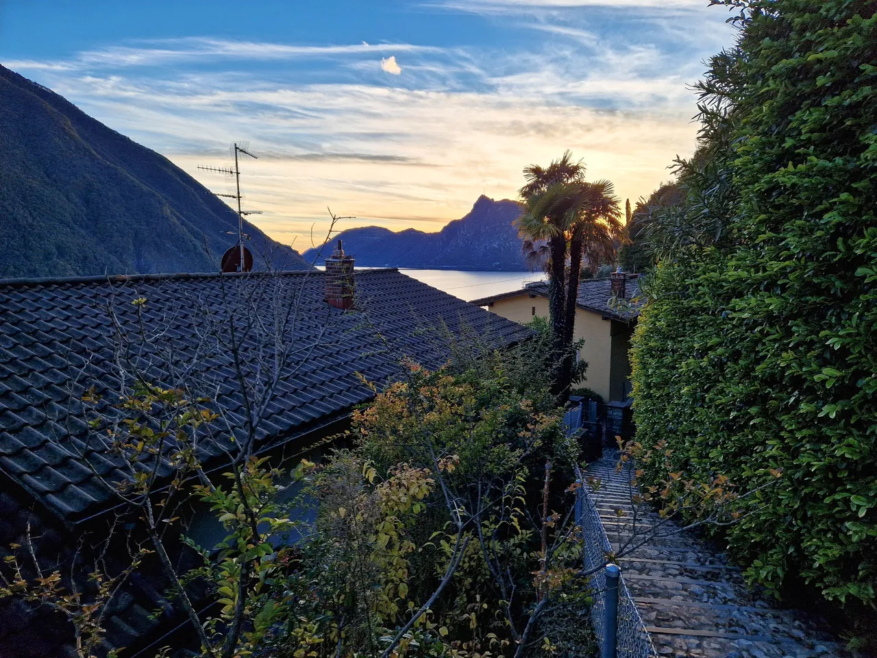
Once we crossed the tunnel, it didn't take us long to get to our hotel. It was already dark, so when we woke up in the morning we were surprised to see the mountains reaching high above us and the shimmering lake in the valley. It was supposed to be a city trip, but we couldn't waste the opportunity to enjoy the mountains.
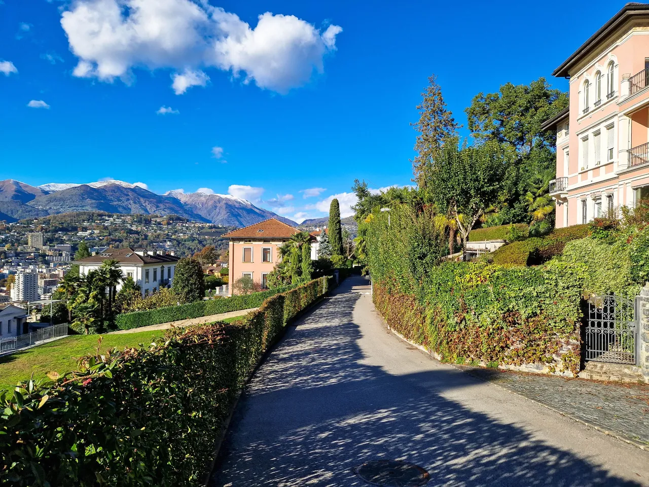
Monte Brè is considered the sunniest mountain in Switzerland. Its height is not so impressive as it's only 925 m above the sea level, but the views stretch over the canton Ticino to the Valais Alps. There are two funiculars that you can take to get to there. We decided to take a walk to the second funicular which took us almost an hour through the charming streets of a few villages above Lugano.
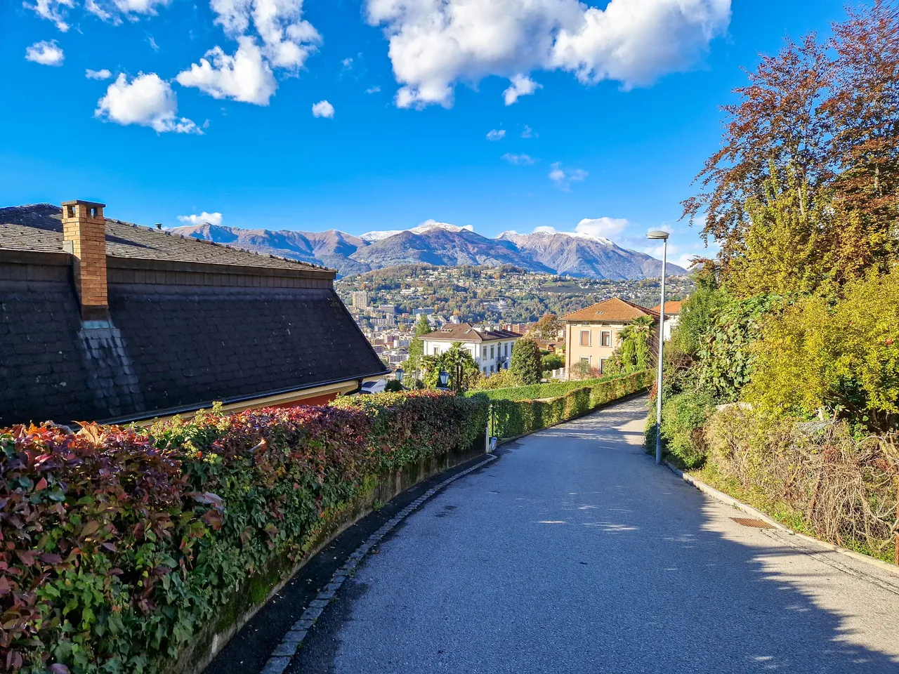
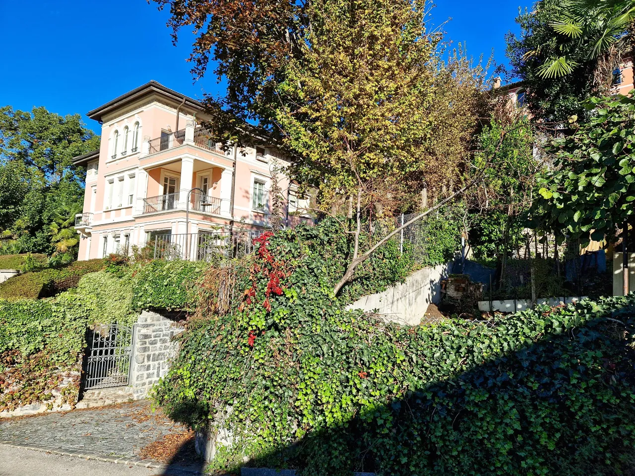
I must say that these were one of the fanciest neighborhoods that I have ever seen. The streets were full of villas, large backyards and swimming pools.
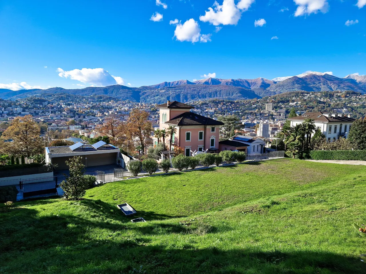
We were speculating how much it costs to purchase a property here, and we concluded that it doesn't matter as we probably can't afford it anyway...
On the other hand, we also realized that it's good we can't afford it as it must be so much work to maintain such property! 😊
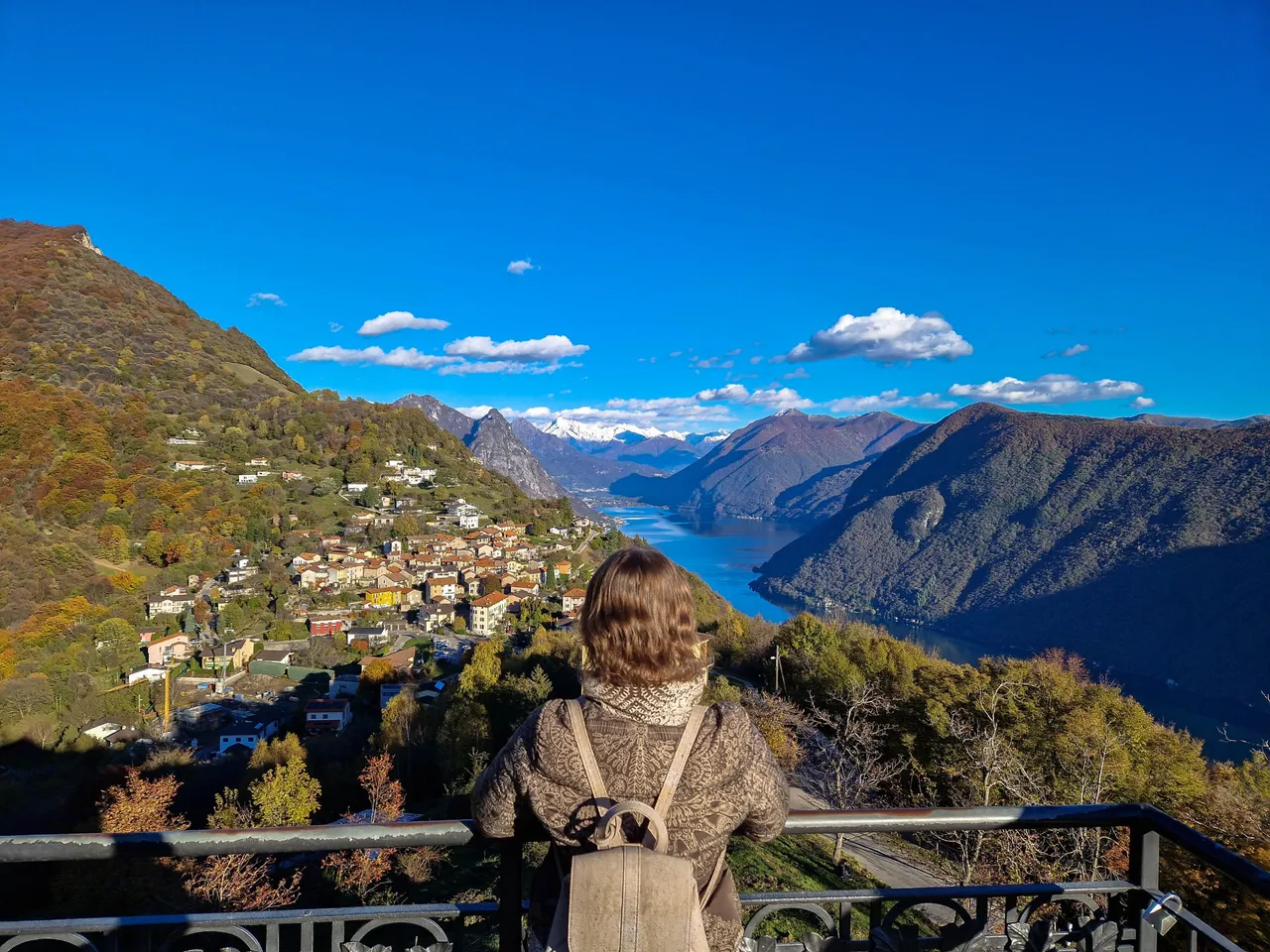
And those views! I wouldn't mind waking up to the views like this...
After rather challenging walk we finally reached the funicular! What started as a relaxing sightseeing walk turned out to be a hike of 100 meters gained in altitude.
The funicular will take us directly to Monte Brè, and our plan was to enjoy the views, have a drink at the restaurant and take the funicular back down to the city. Little did we know that we will have an impromptu change of plans up the hill...
The round way ticket costs 26 CHF per person which is not cheap for a 10 minutes drive, but it is worth it in the end. The funicular goes each way every 30 minutes, and we were lucky to come only a few minutes before its departure.
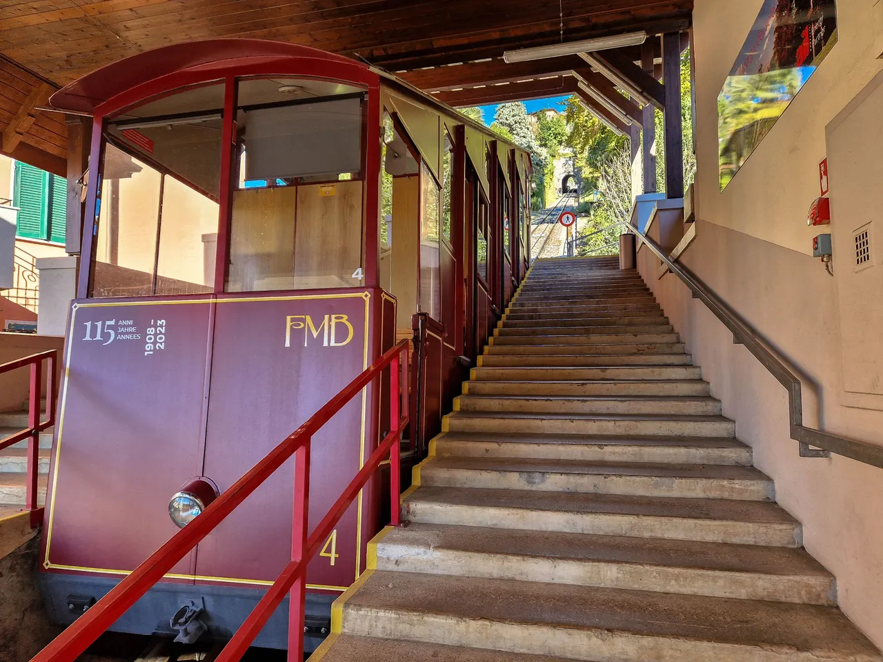
It was built in 1908, and its initial purpose was for the locals to enjoy their weekends in nature. Today, Monte Brè is one of the most visited mountains in the region, and in summer it can happen that you won't be able to get tickets as its capacity is less than 100 people.
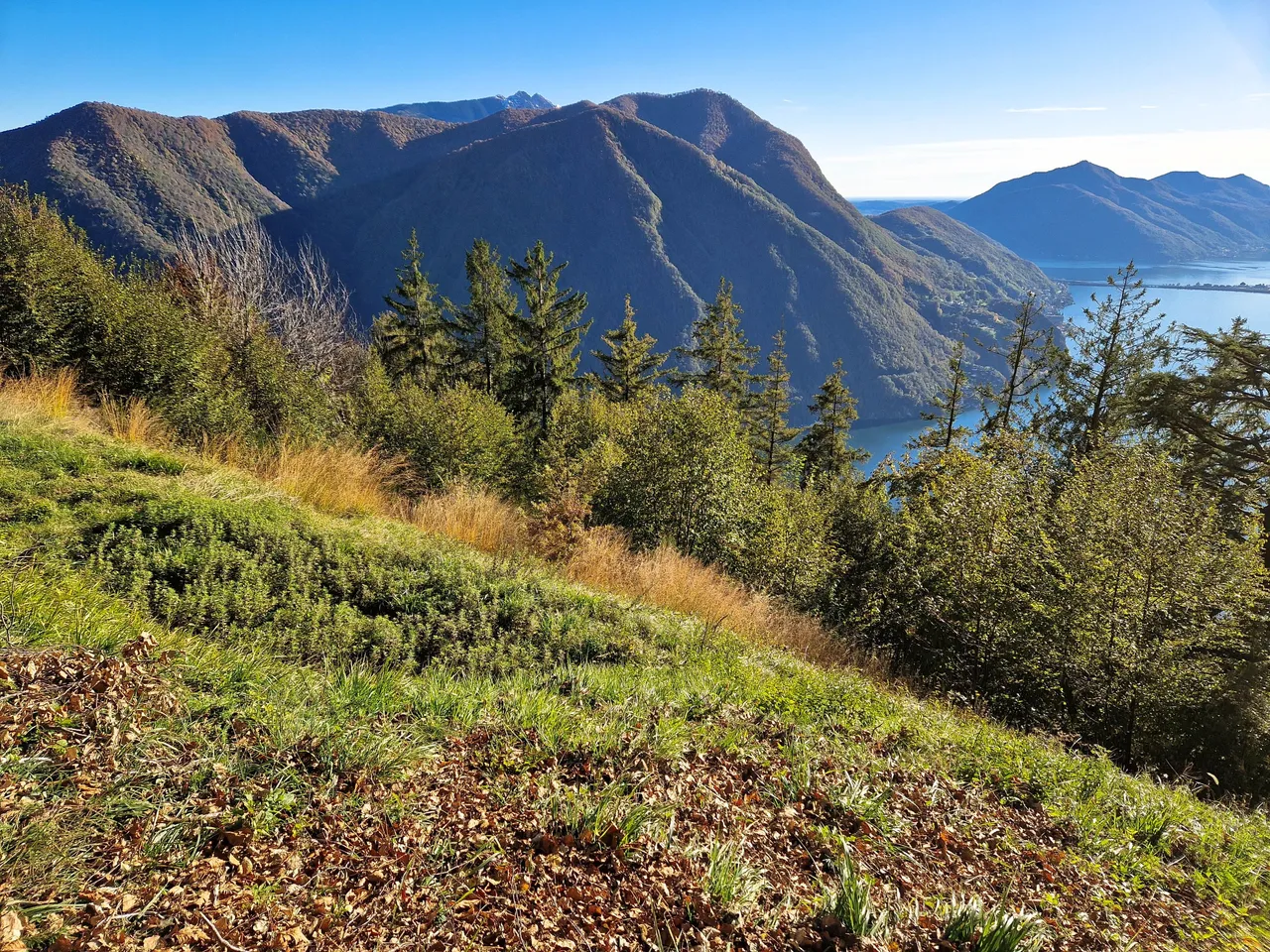
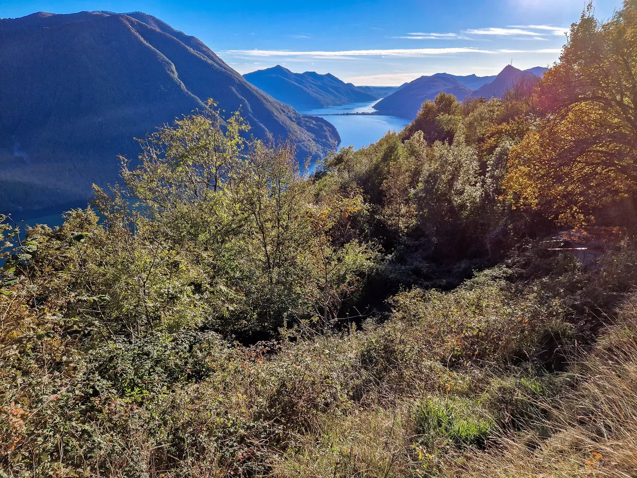
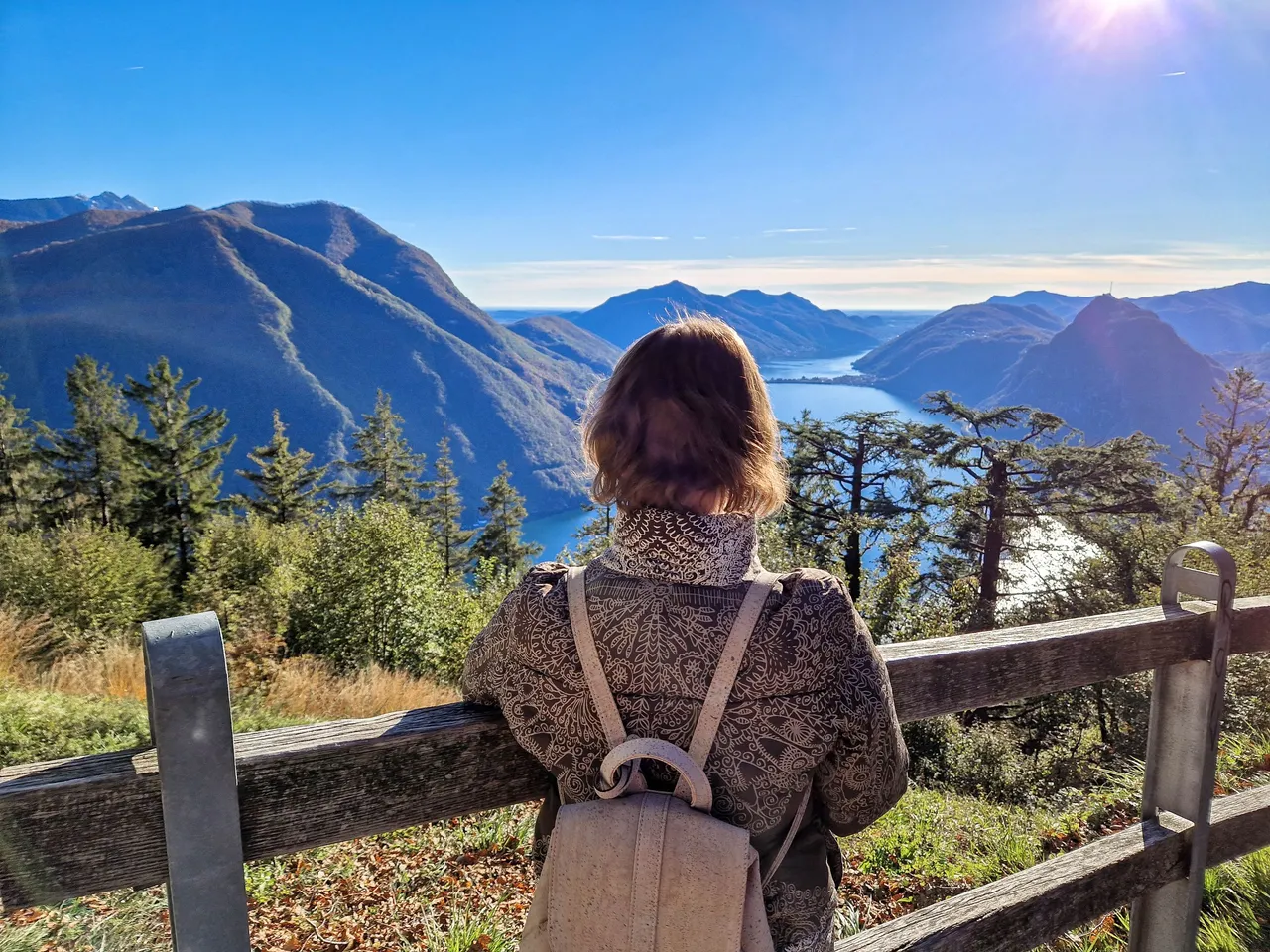
As soon as we stepped outside of the funicular we were rewarded with this view! Unless you are in the first compartment you don't see much of the views on the way as you can only see sideway.
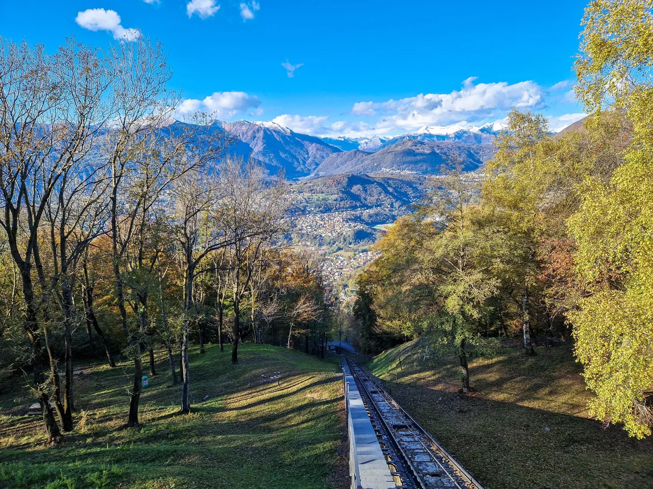
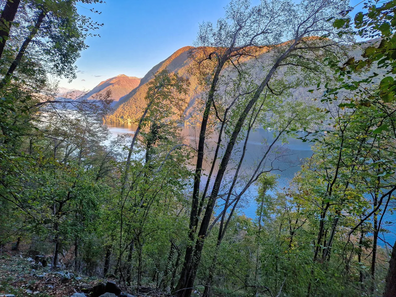
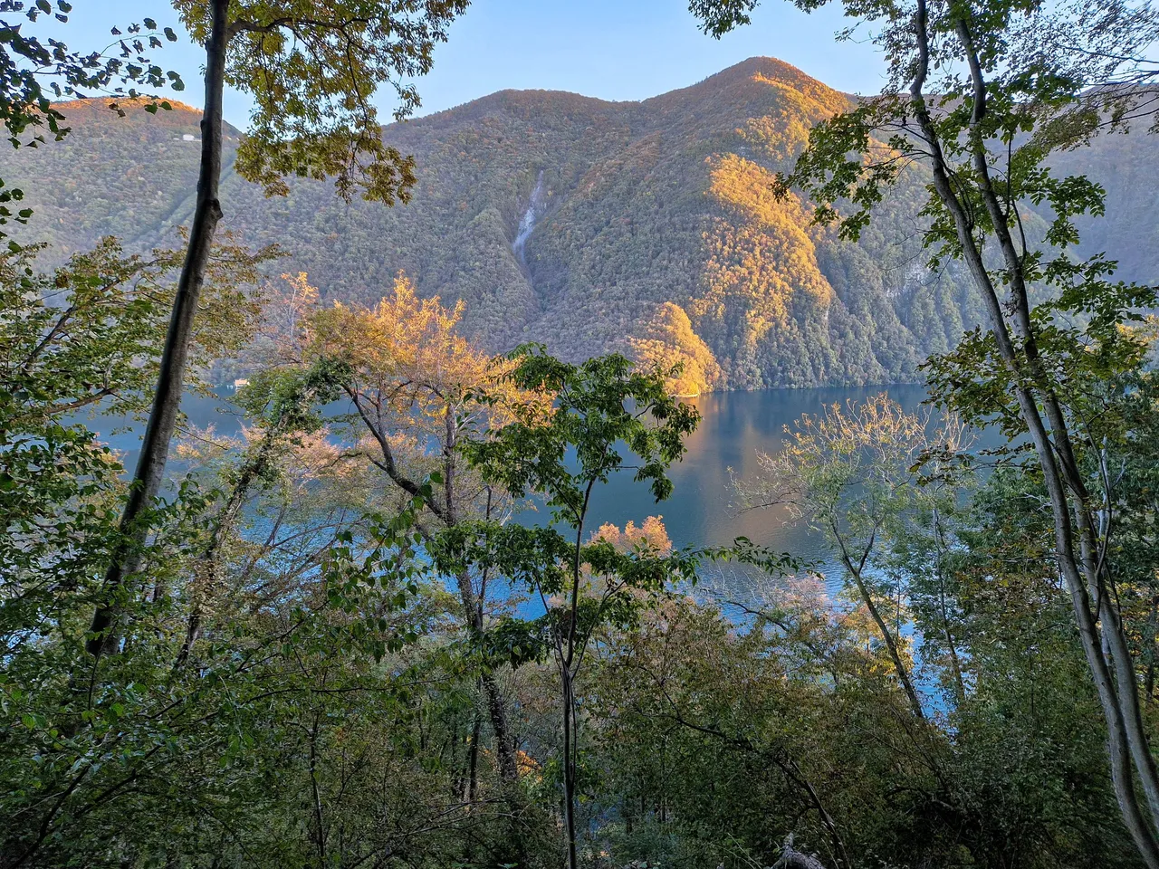
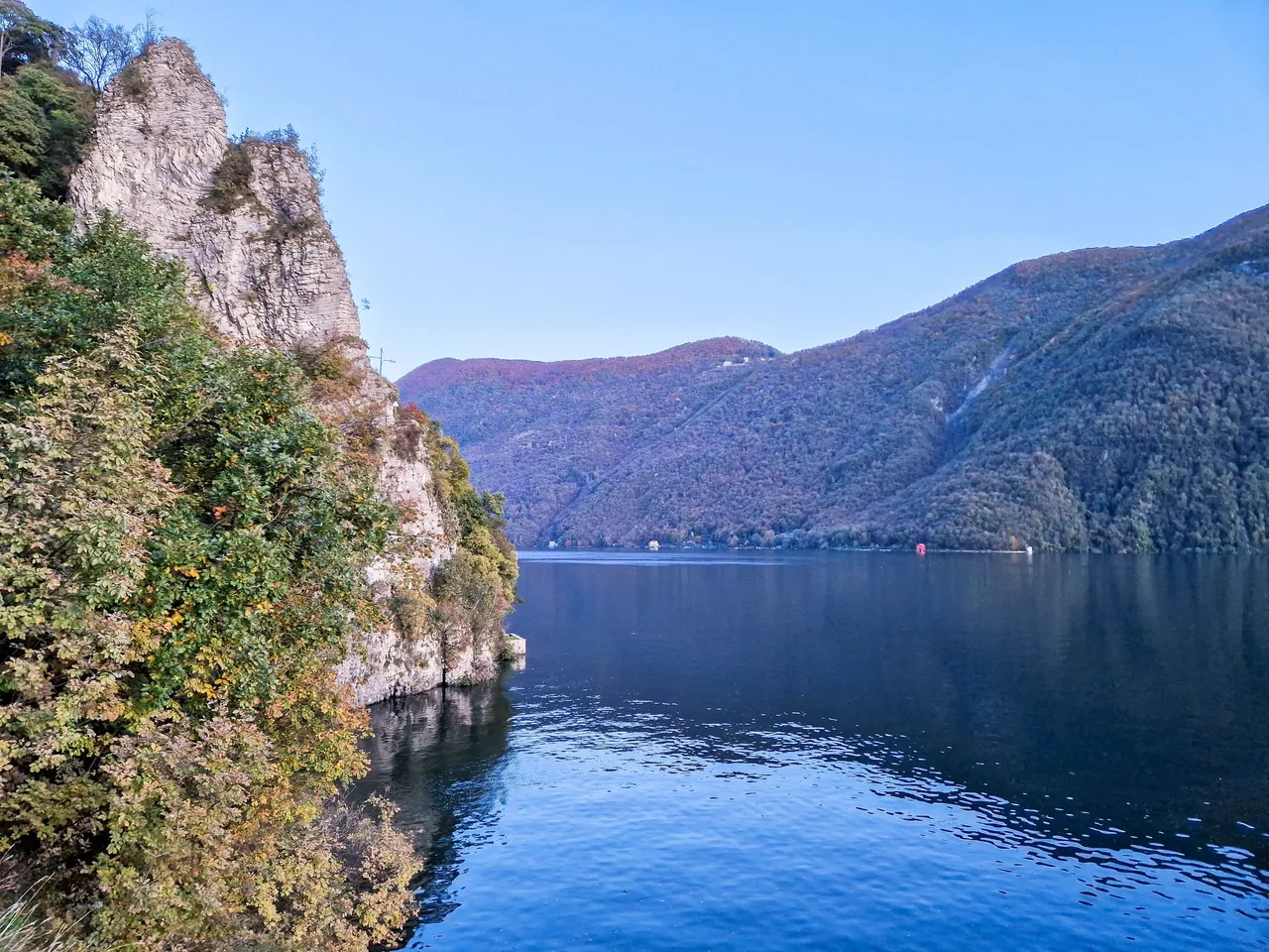
Ticino is bordering with Italy and the mountains in the back belong to the Italian Alps already. Behind them is the famous Lago Maggiore.
It was a short walk to the sightseeing platform from where we enjoyed the views of the Lake Lugano, and the surrounding mountains. I must admit that I'm not sure which mountains are in Switzerland and which are in Italy as the border is really nearby.
Monte San Salvatore on the right is on the list of places that we will visit next time. In Switzerland, during the month of November many funiculars and cable cars are closed for maintenance before the winter season, so we couldn't get there as we didn't have enough time for another hike.
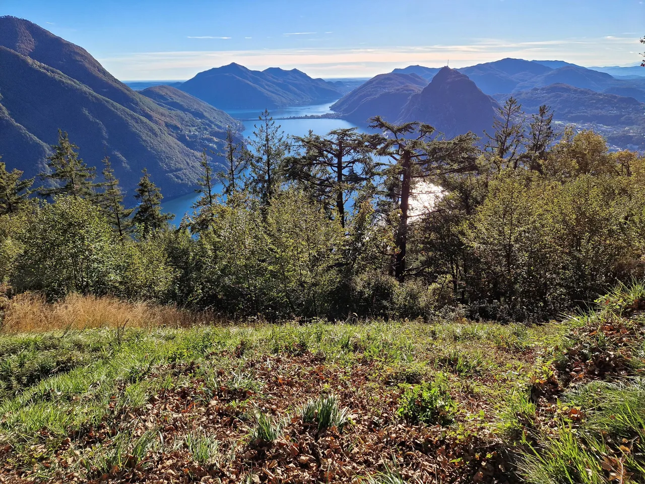
Monte Sighignola, also known as The balcony of Italy was right in front of us, growing straight out of the lake. There are boat tours which take you to either sides of the lake, so that you can see the mountains on both sides.

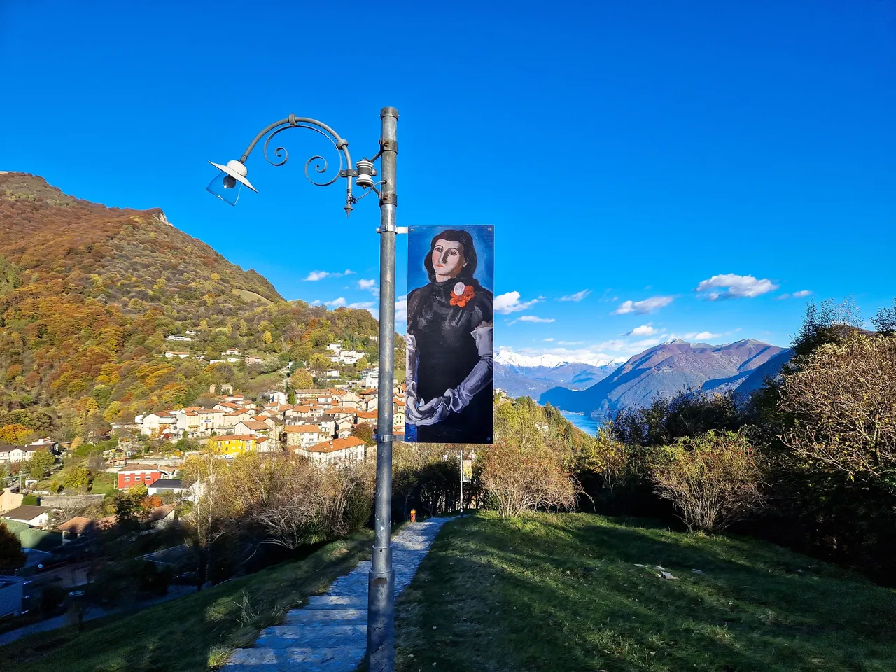
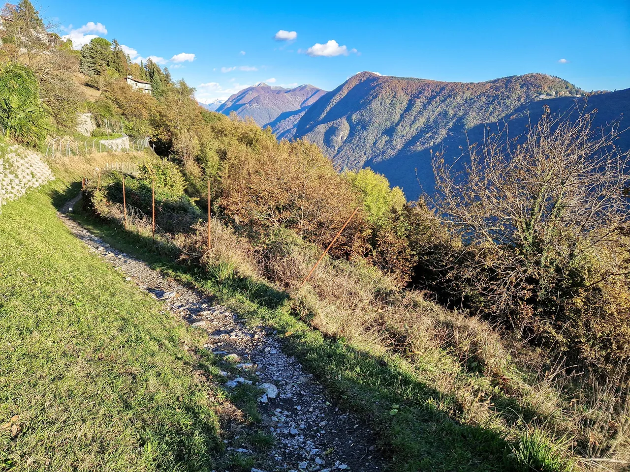
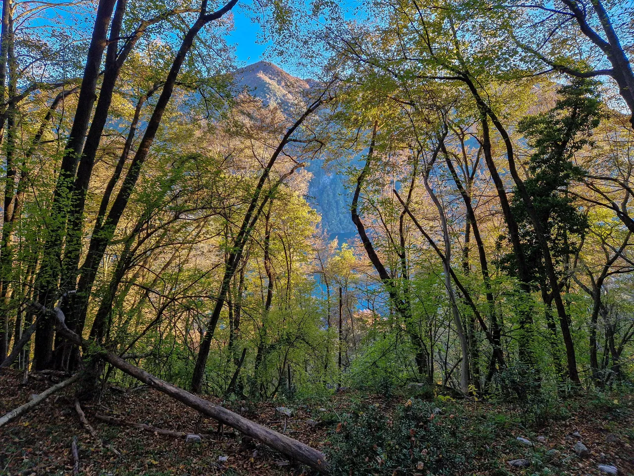
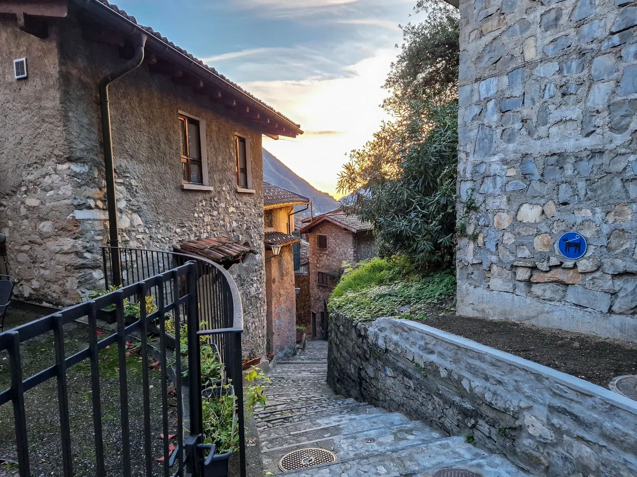
I found a trail that led us down to the village called Brè, and at first I thought that we would walk down to the village, and then back up to the funicular, but the plans can change, right?
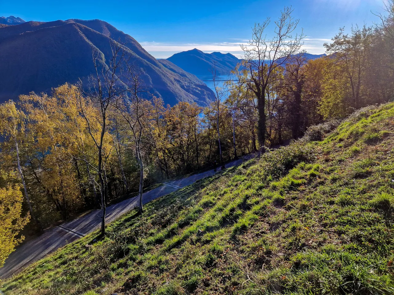
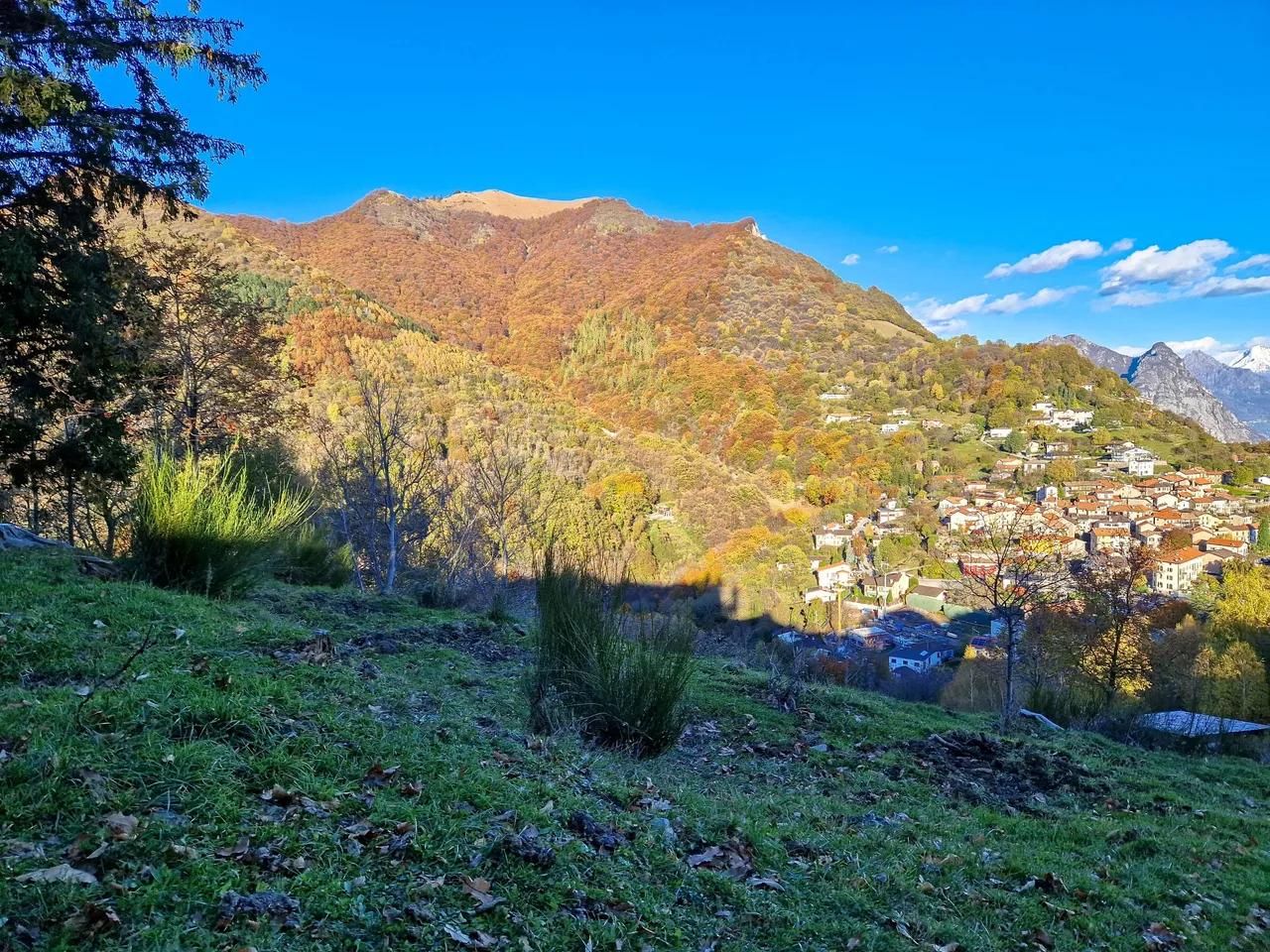
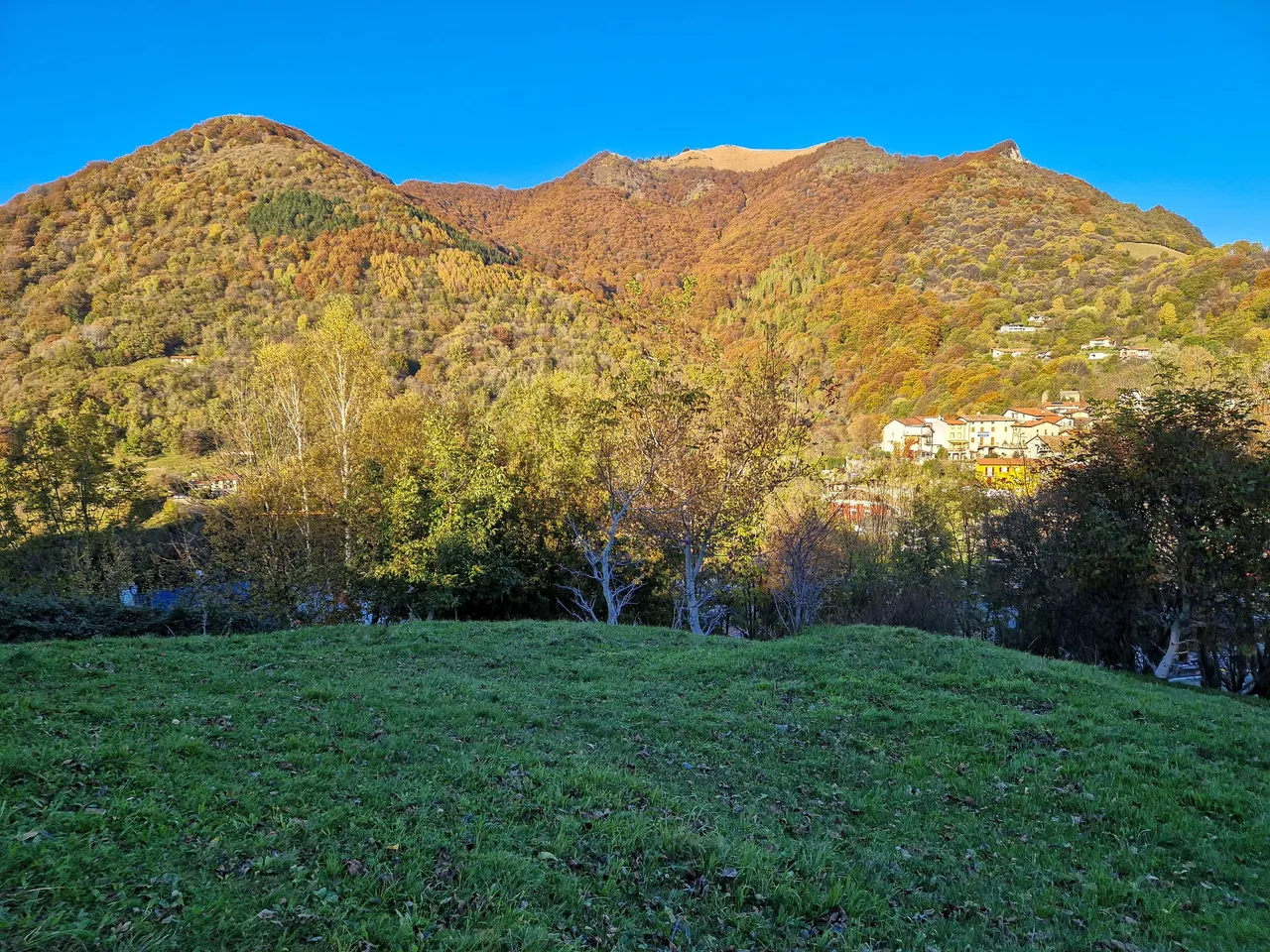
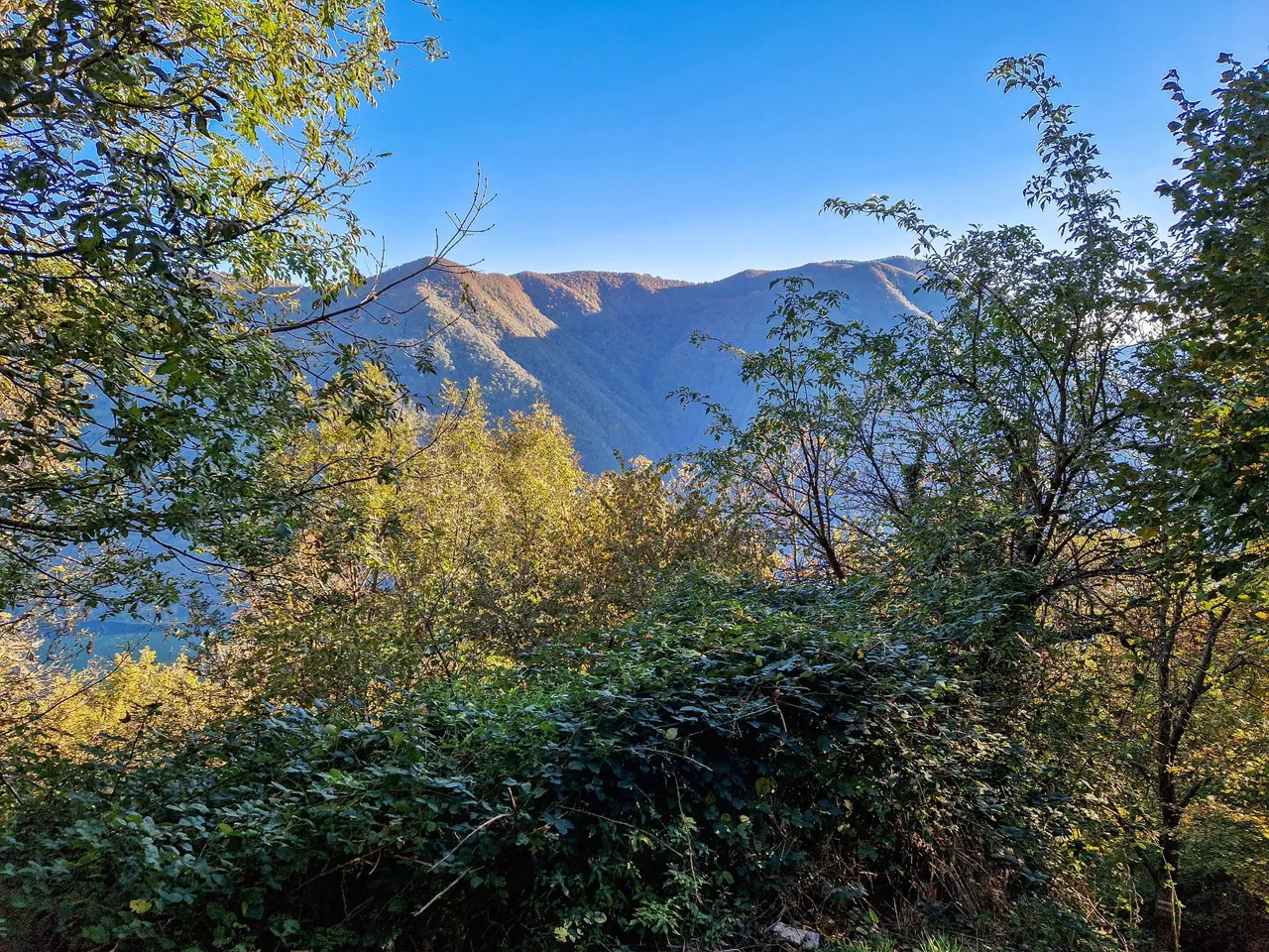
The village is picturesque especially with colored trees of Monte Boglia. The top of this mountain is right at the border with Italy.
On the way to the village is a sightseeing platform which is the perfect spot for photos. This is also the place where I decided that there is no way I would walk all the way back up again. Instead, we would go down to the lake and back to Lugano. Sounds easy, doesn't it?
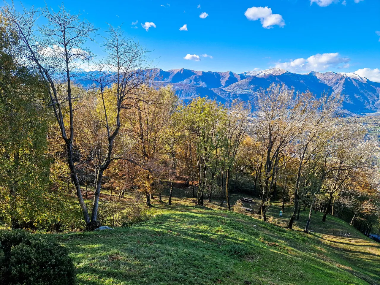
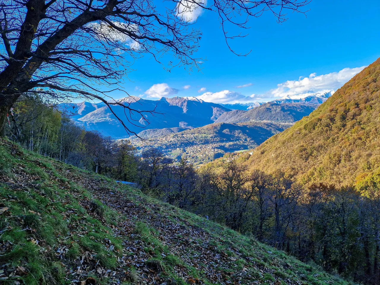
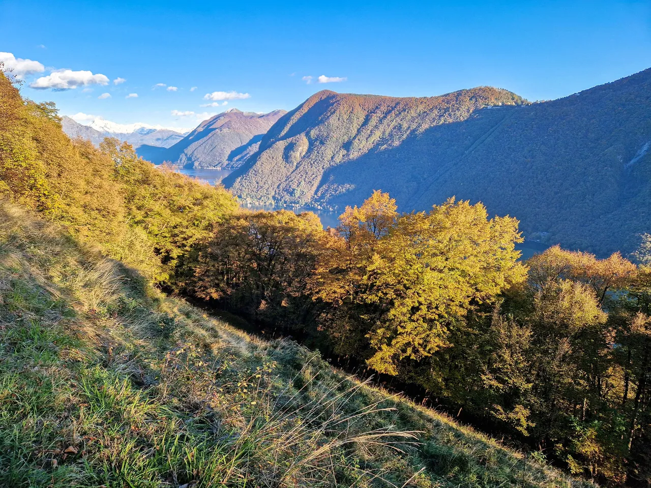
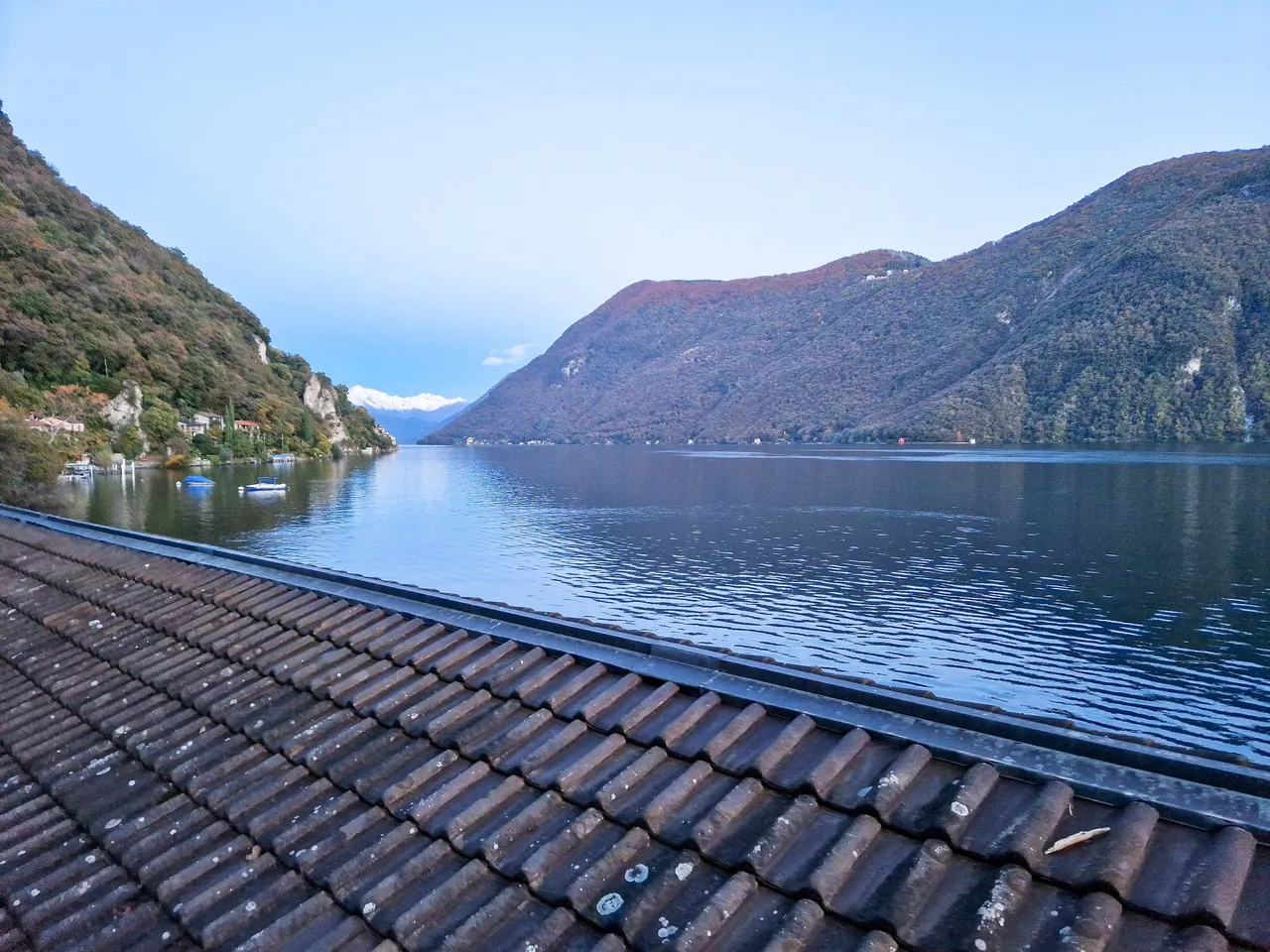
The snowy peaks in the back are part of the mountain massif Monte Rosa with the Dufour peak being the highest summit in Switzerland.
I am so happy that we decided to spend some time in nature as I love this kind of autumn...
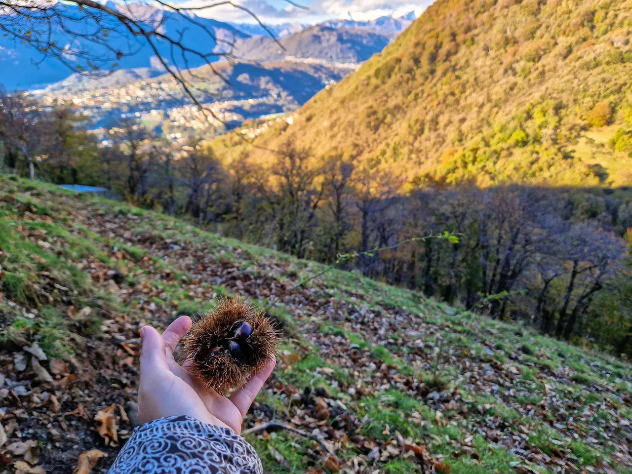
And we found tons of sweet chestnuts, but we didn't have any bag to put them in, so we left them there. I must admit that I have never seen sweet chestnuts in nature before.
Let's go down to the village!
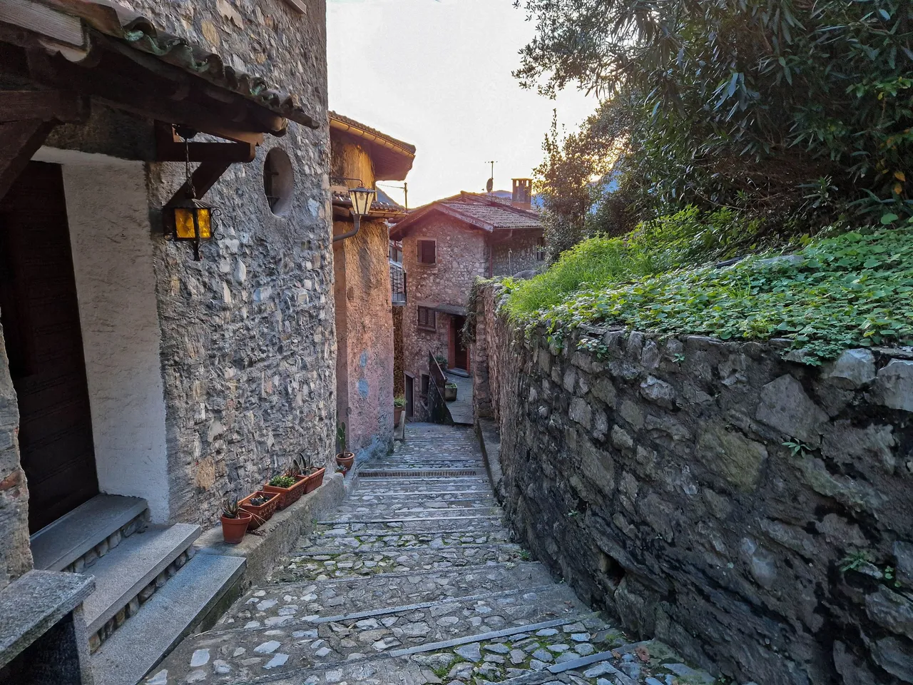
The trail is decorated with artistic works which make the whole scenery even more beautiful...
The sunshine made everything look so warm and cozy...
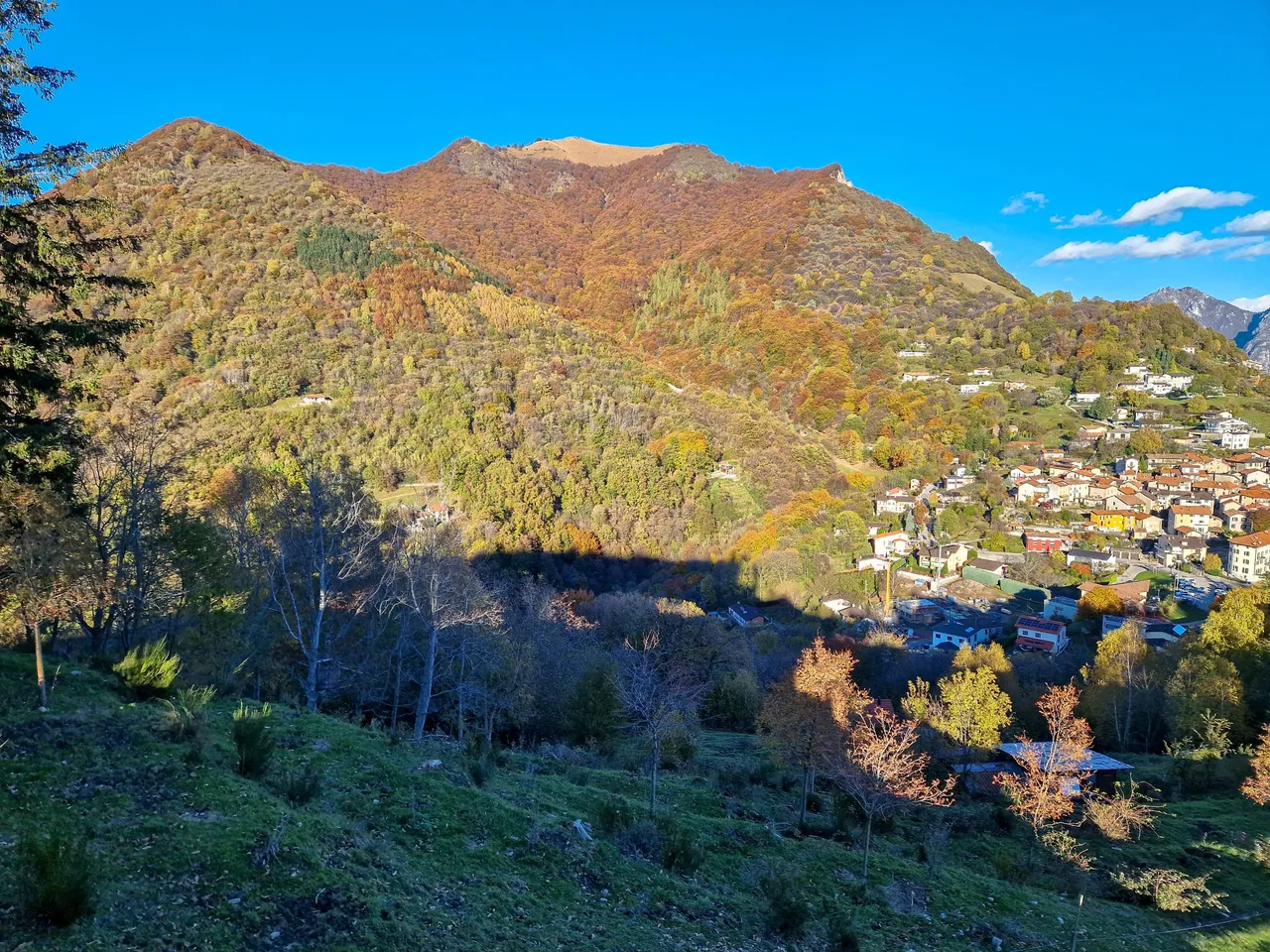
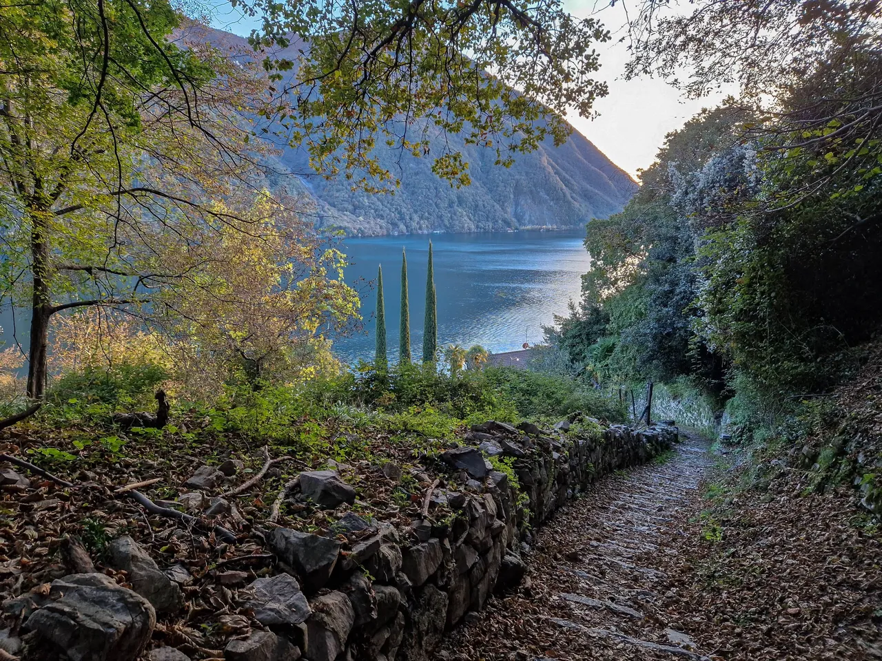
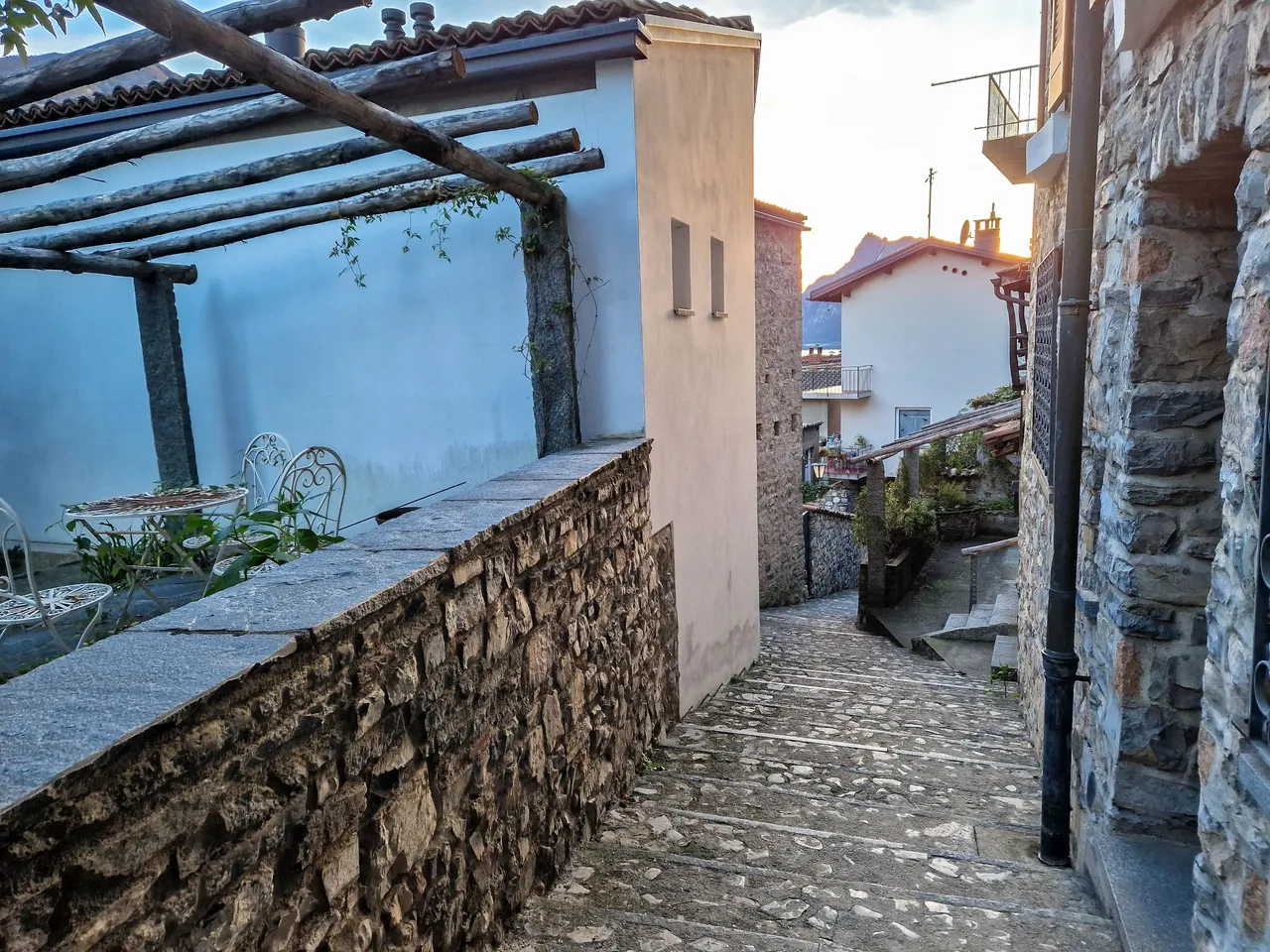
We didn't spend much time in the village as we had a long way ahead of us. After checking the map we should walk for another 12 kilometers to get back to the city. I thought that we would walk on the road, so it should not be too difficult.
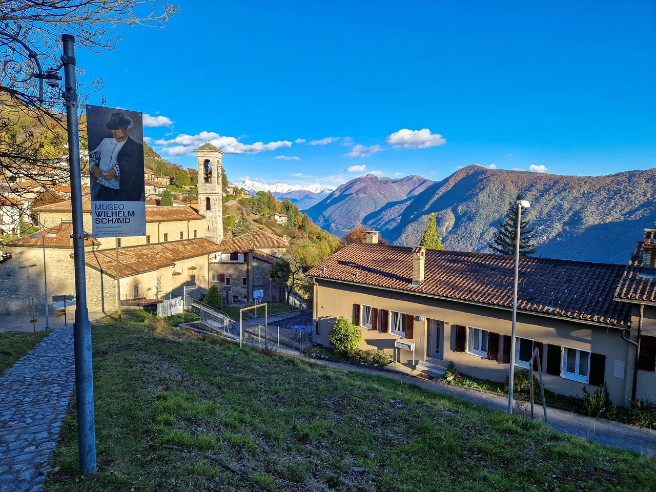
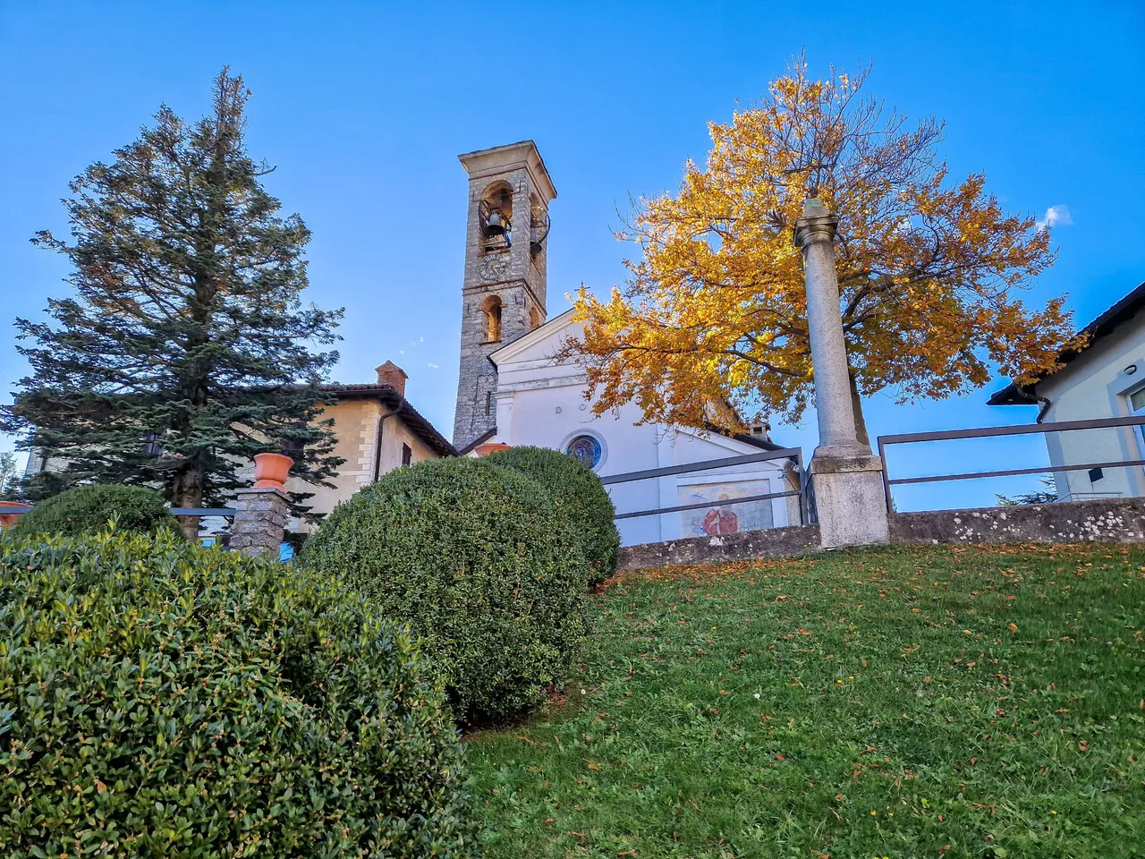
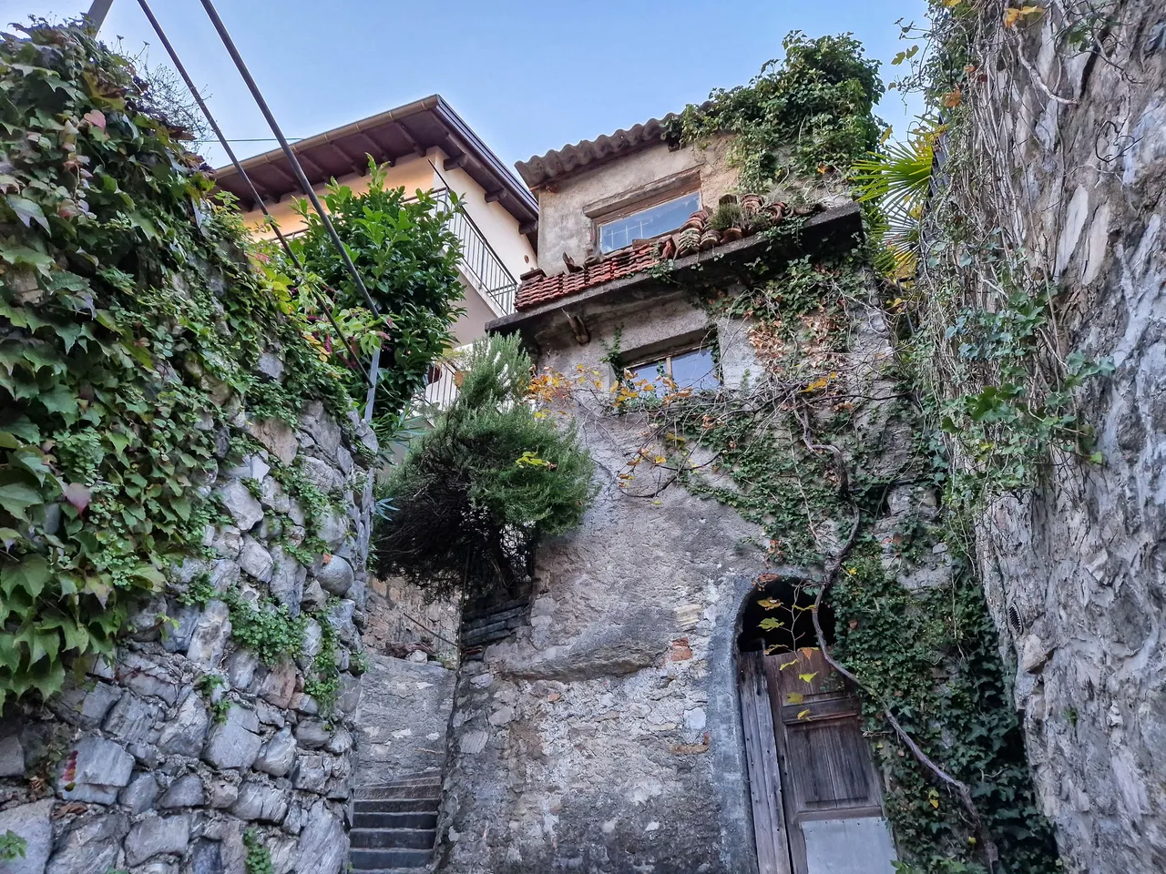
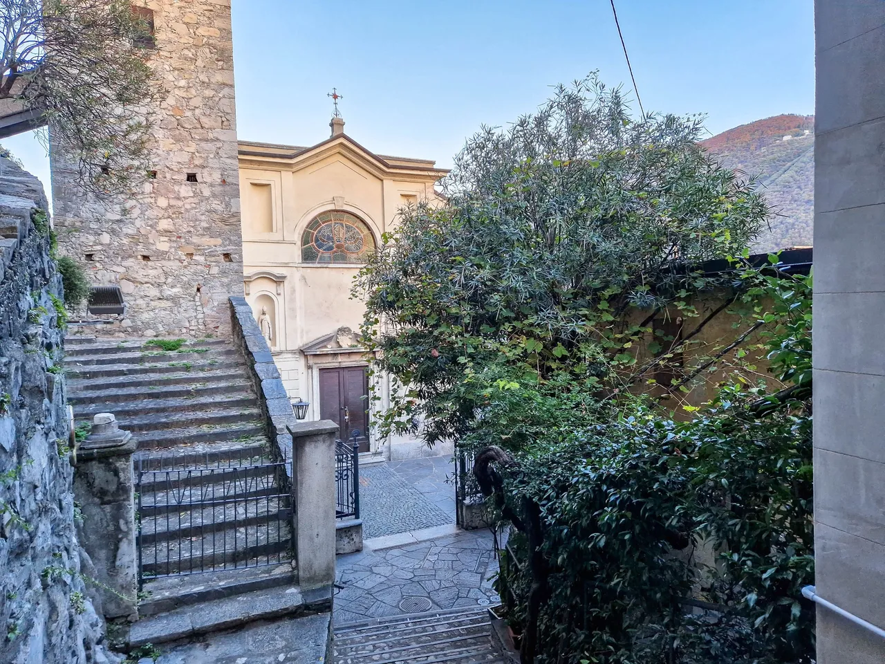
On the way we met a couple of people who came out of the forest. When they told us that they came from the lake we knew that we should take the same trail. But before we entered the forest we still had a chance to see this picturesque church. I always find it amazing to see what is built so deep in the mountains.
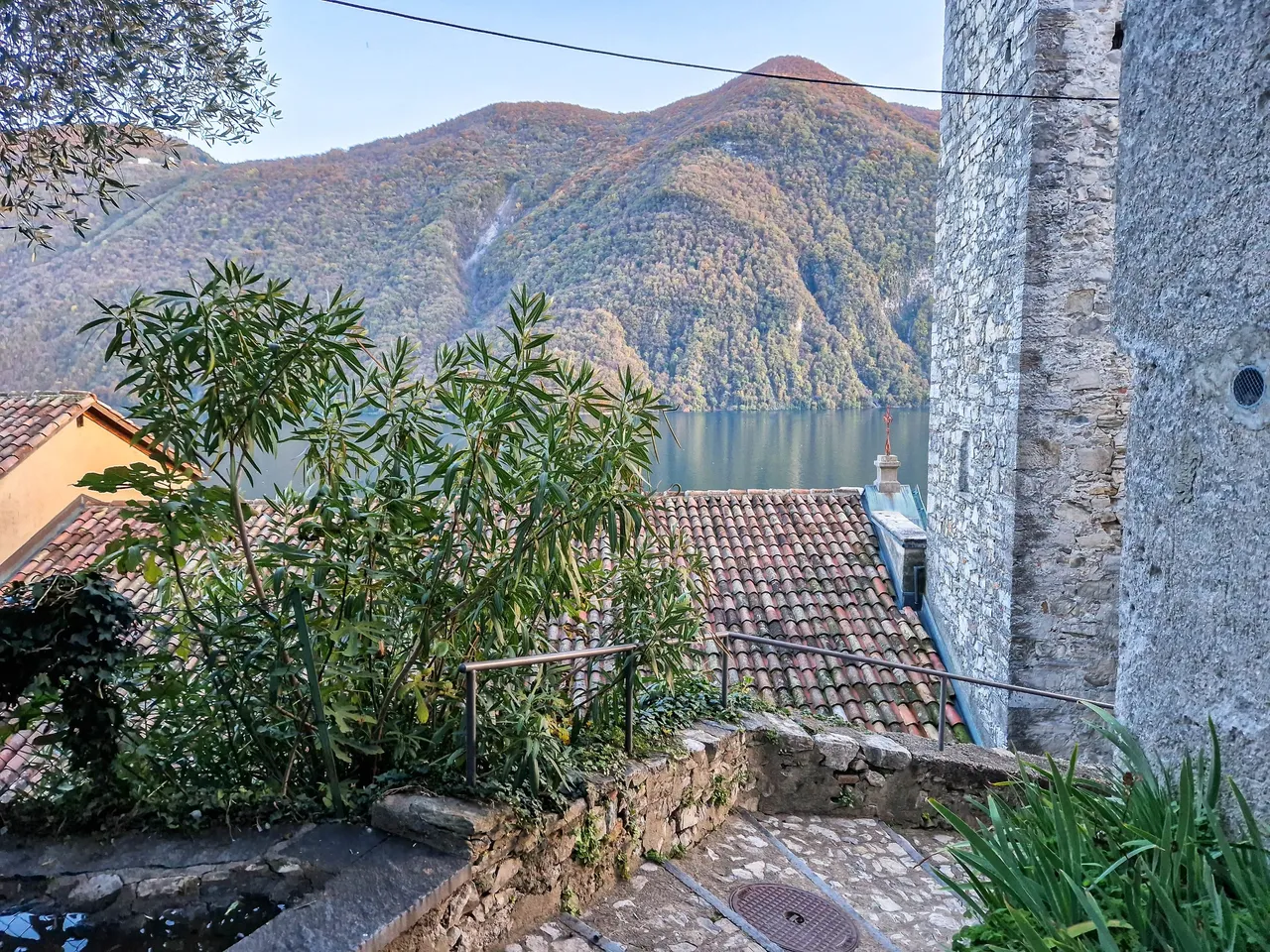
The last view of the lake before going to the forest...
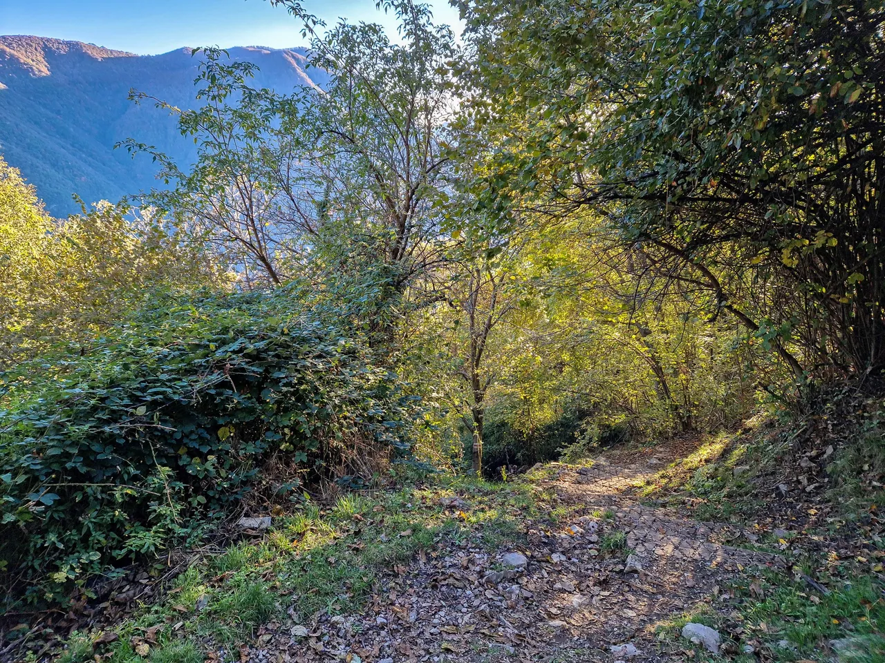
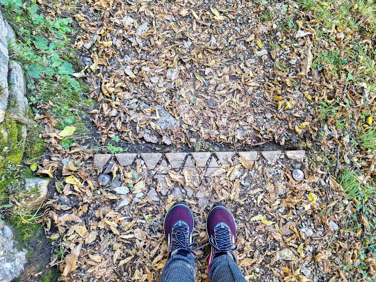
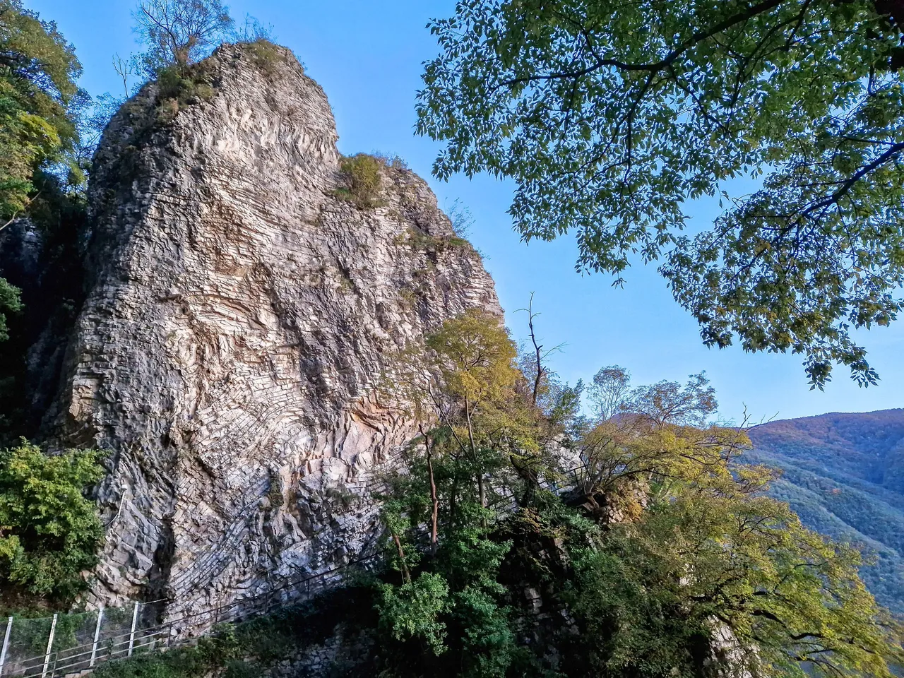
The trail seemed to be ok which was good as we were not dressed for hiking, and we also didn't have the right shoes.
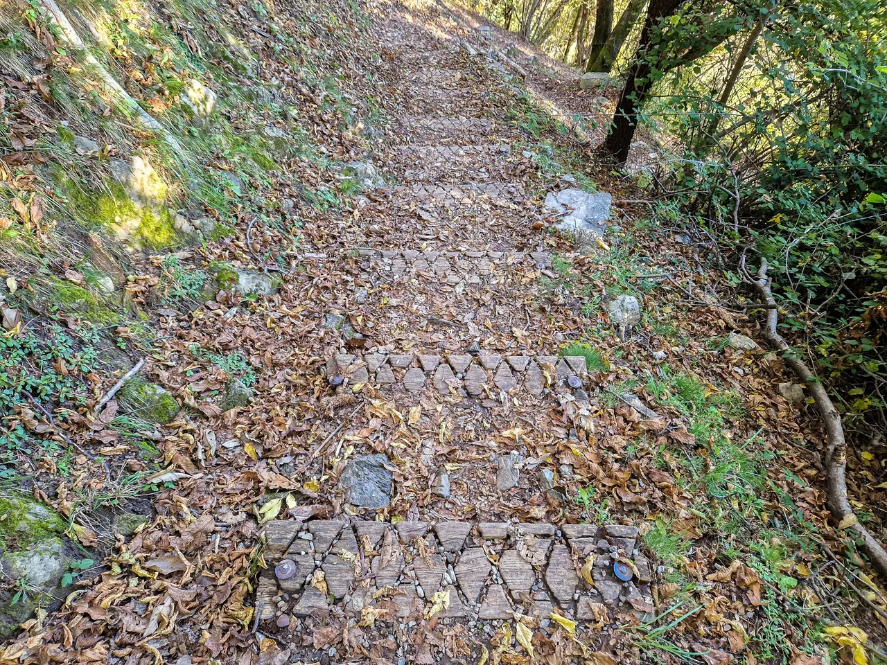
Soon we approached some wooden stairs that were not that comfortable. Luckily, it was dry as it would be way too slippery if it would be wet.
Don't judge me! I had no idea that we would go hiking when I chose my shoes in the morning 😊
The stairs seemed to be never ending and my legs started to hurt. It's much more comfortable to walk on the ground.
We stopped from time to time to enjoy the views...
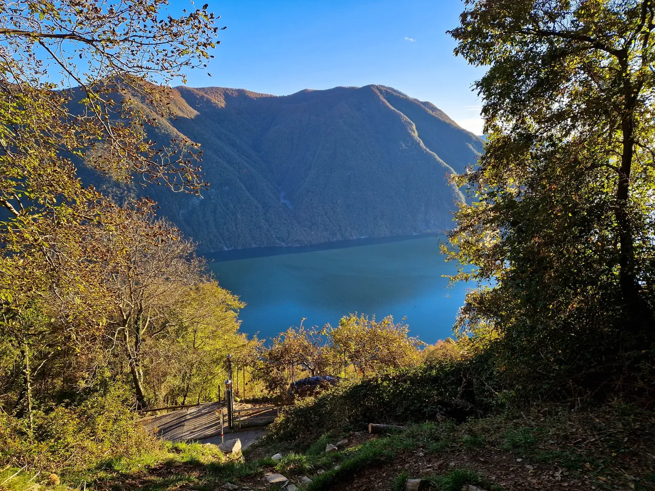
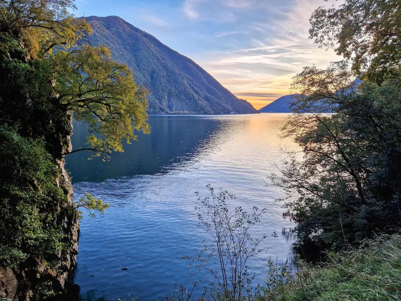
The lake was so close, but yet so far. It was getting late and we didn't seem to be much closer...
Will we manage to get out of forest before dark?
We were almost there! We met a woman who was walking up the hill and she told us it was still about 20 minutes to get to the lake. I was surprised to see her as we were hiking for almost 1 hour already, and she couldn't make it up on time before dark. I guess she was from there and knew the way.
And here we are! After almost 7 km down the hill with descent of 650 meters and lots of pain in the legs we finally reached the civilization or so we thought...
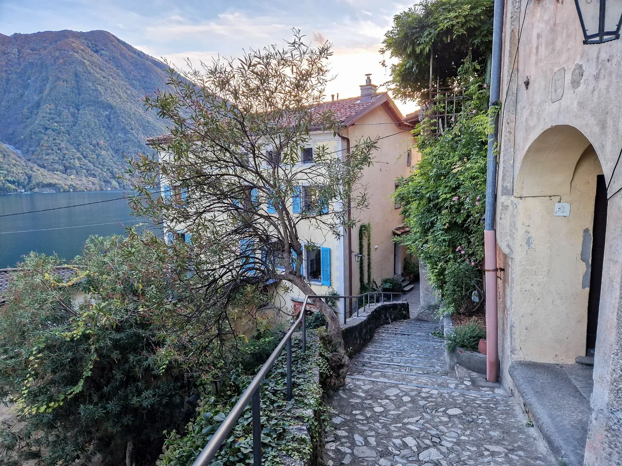
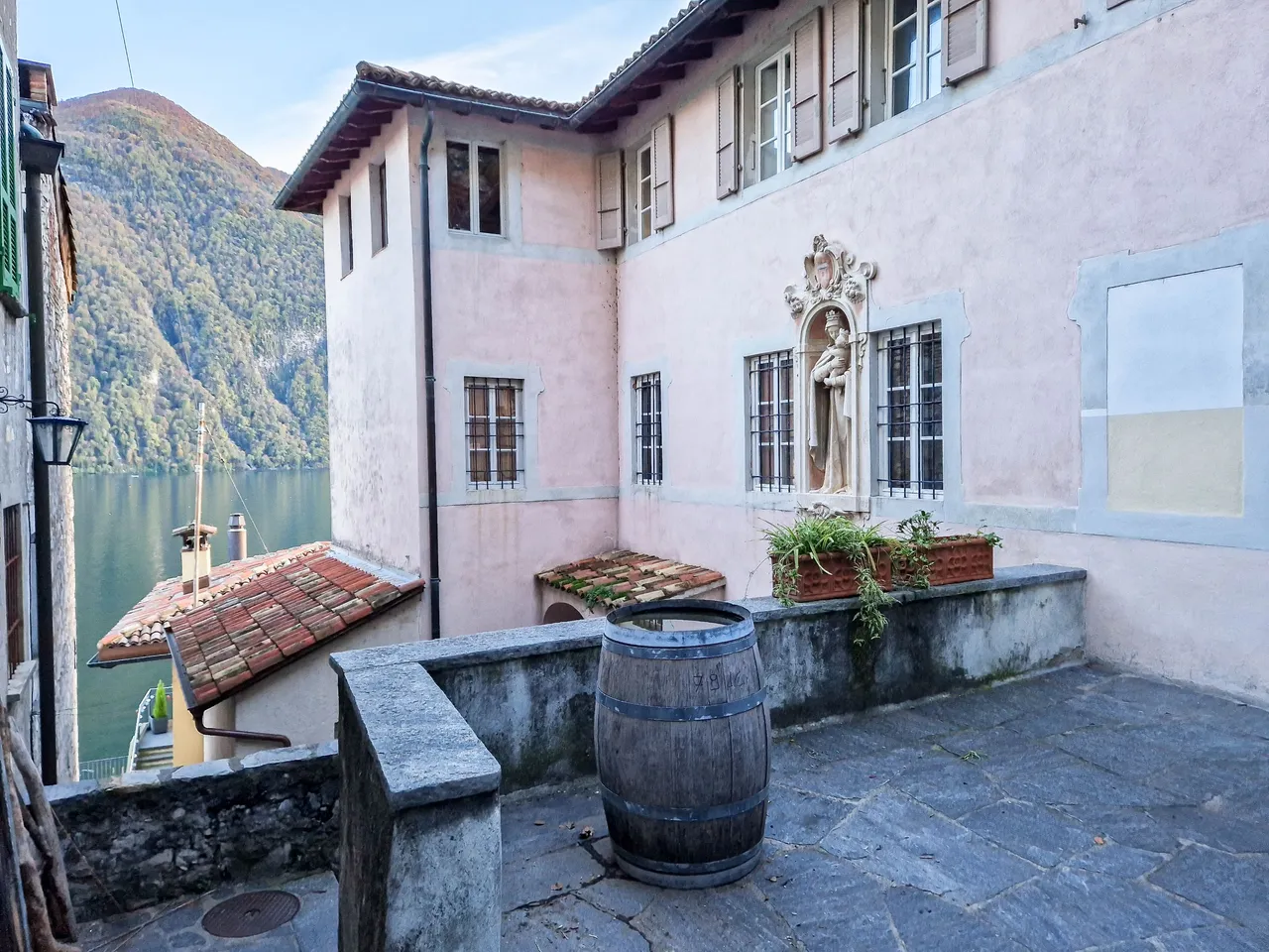
Gandria is bursting with life in summer, but in autumn it is deserted. We were so looking forward to sitting down and having some food as we didn't have lunch (well, we didn't think we would go hiking), and we also needed to rest a bit, but well, it is what it is and we had to continue to Lugano.
It is a picturesque village that you can only reach by boat or by foot as it is closed for cars. We actually enjoyed that it was deserted as it was peaceful and quiet.
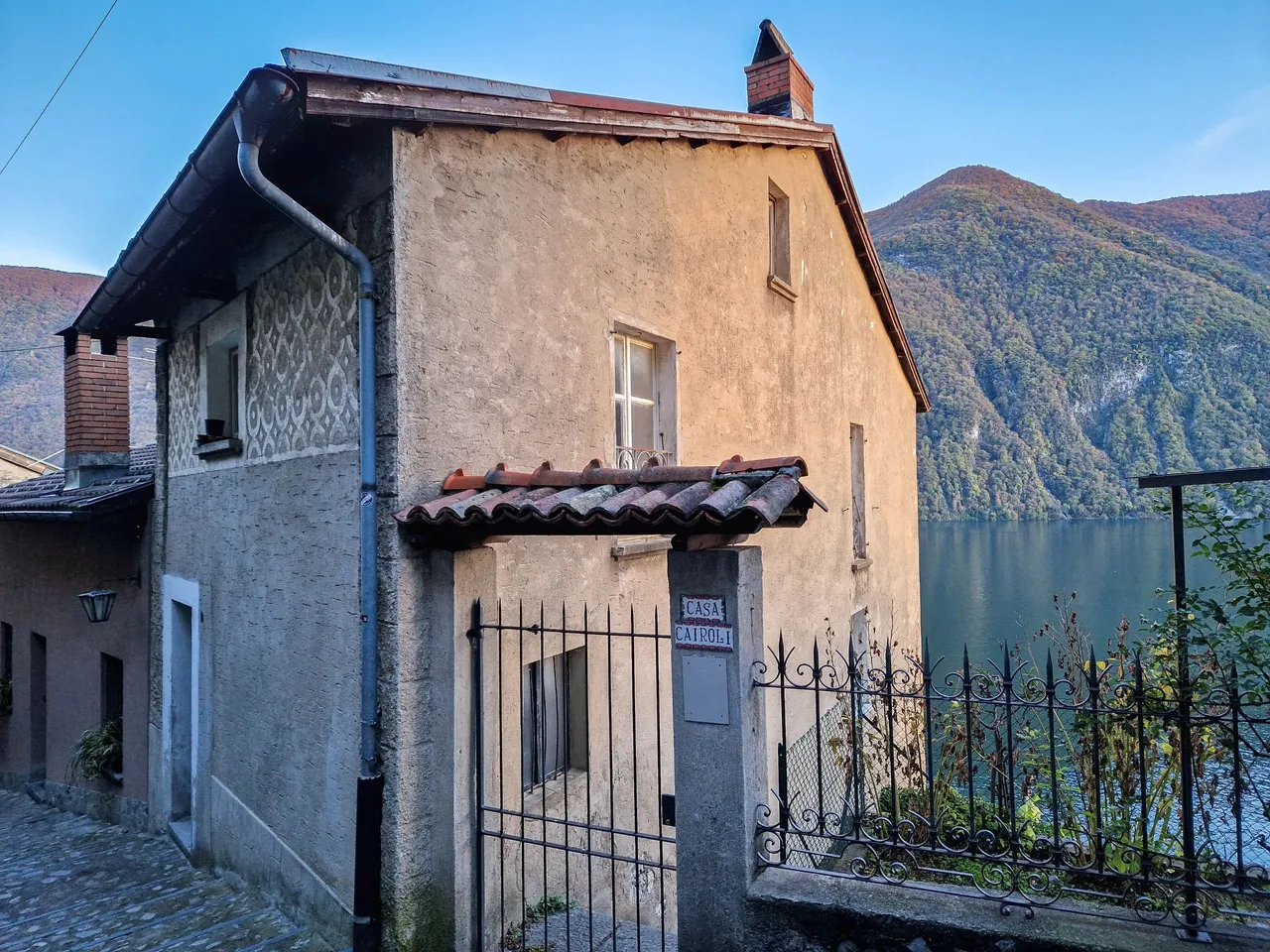
The heart of Gandria is the church from the 16th century which was unfortunately closed.
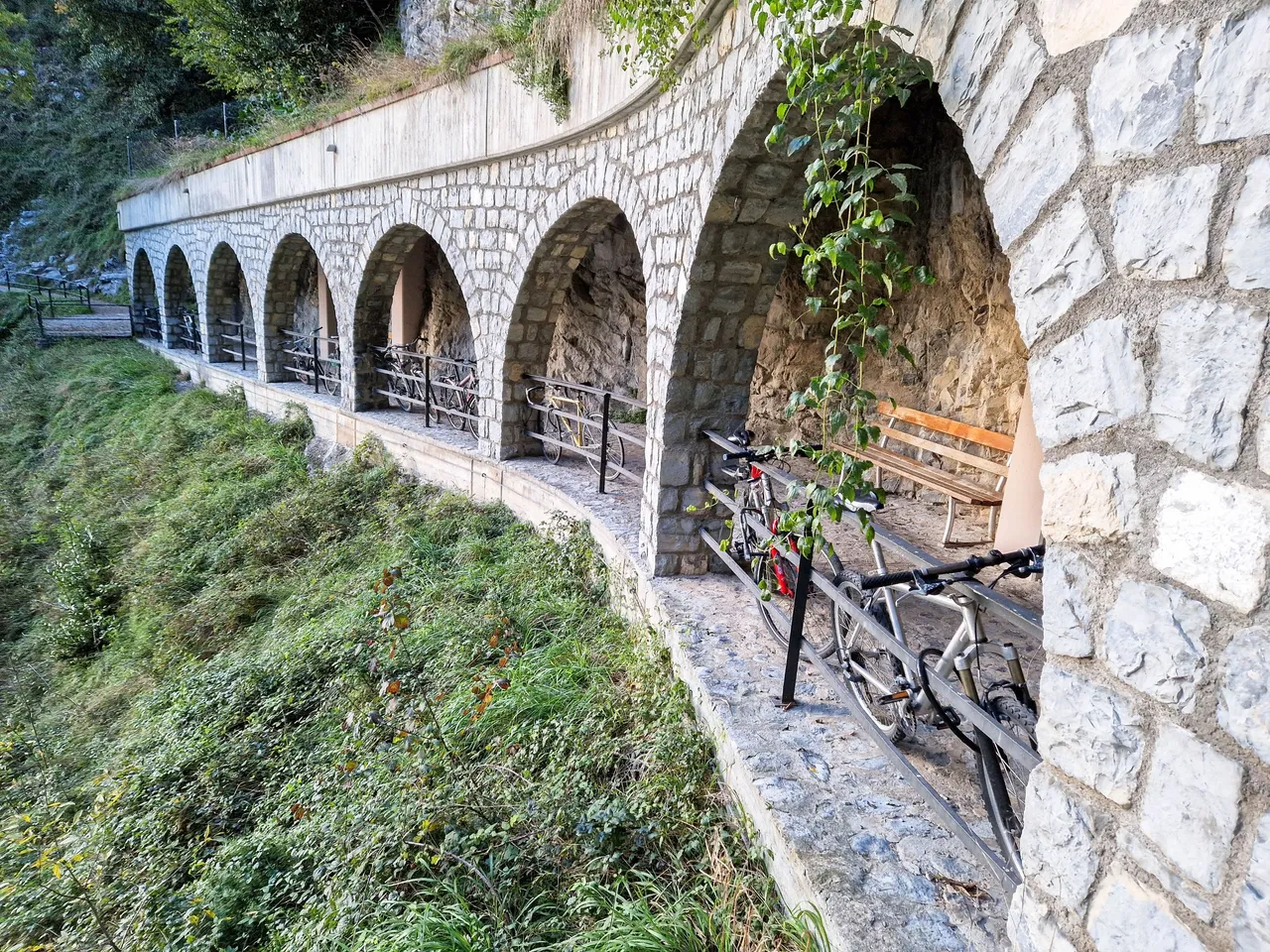
Gandria is part of the so called Olive grow trail also known as Sentiero dell'olivo. It's a trail that leads from Castagnola to Gandria, and on the way you can learn about the history of the region and its important olive growing.
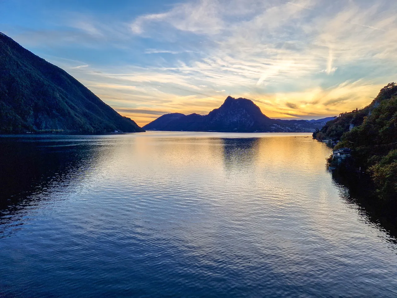
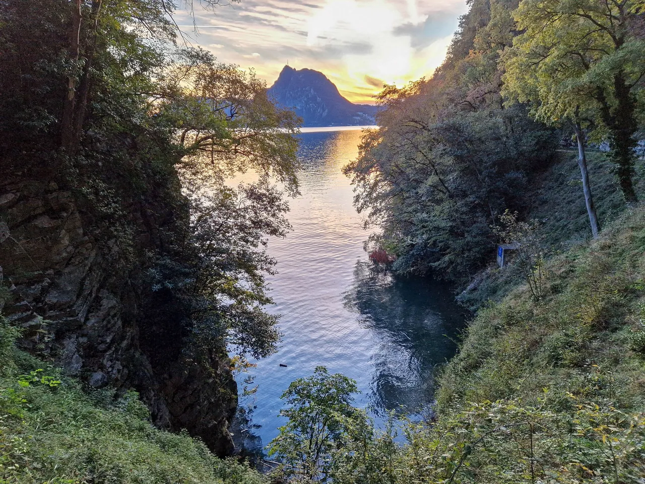
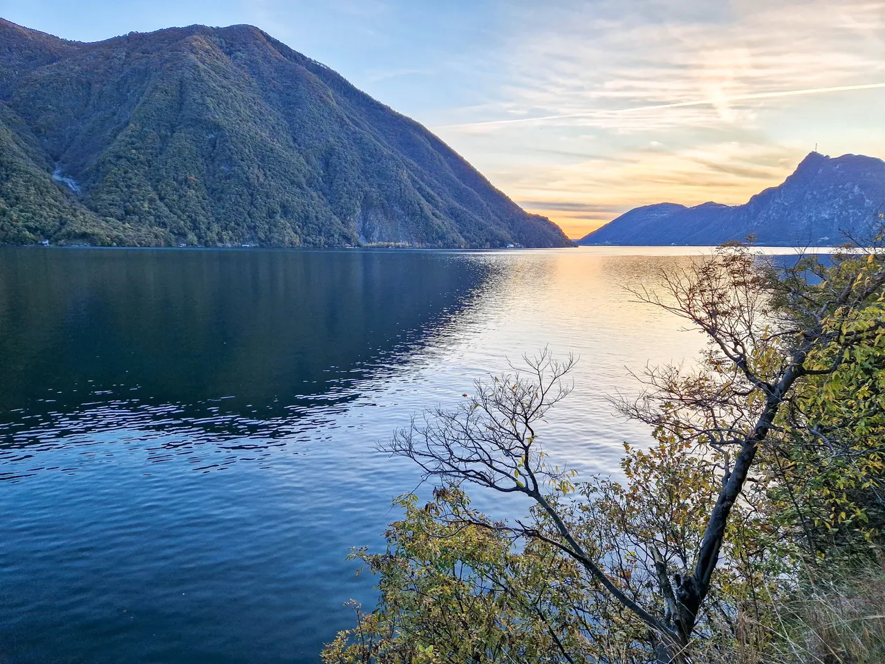
We were also lucky with this stunning sunset along the trail...
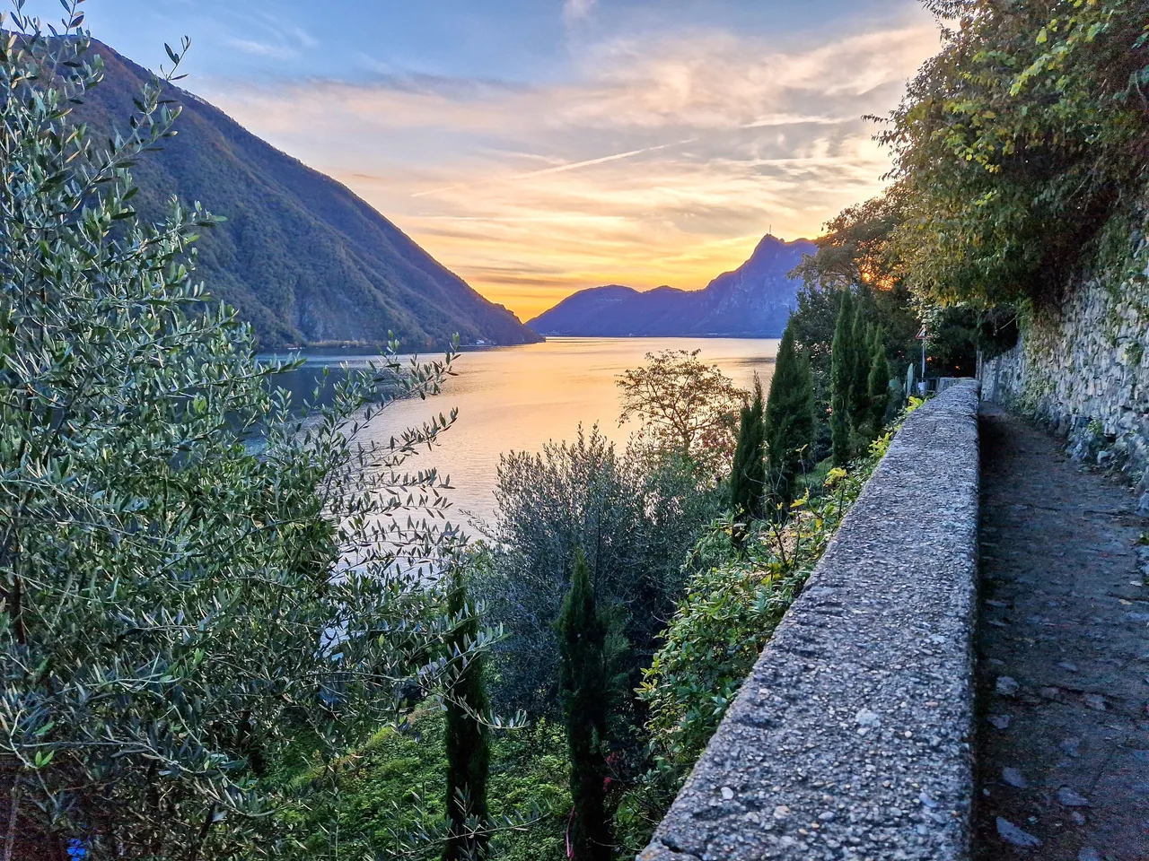
Monte San Salvatore looked amazing!
There are several stops with information boards about various topics, such as history, archeology, geology, etc.
The trail is mainly flat with only a few parts that go up and down like here, so it's a good trail for families with kids. We didn't meet anyone as it was late, but I imagine many people walking here earlier in the day.
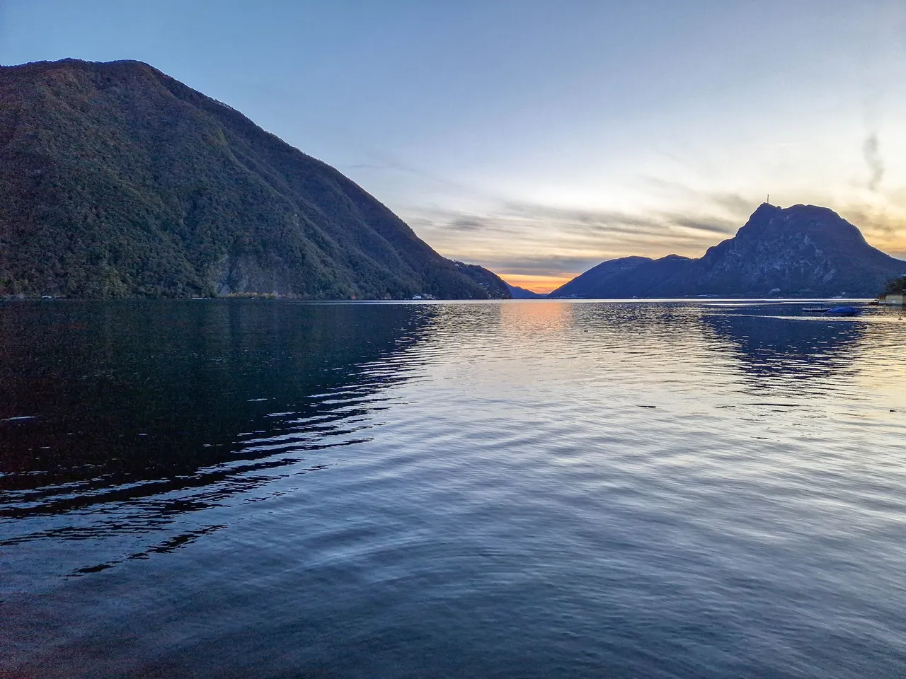
We were slowly leaving the white peaks of Monte Rosa behind us while we were approaching Lugano.
After 17 km, almost 30k steps, 100 m ascend and 650 m descend we finally arrived in Lugano! We went straight for dinner and enjoyed minestrone soup and pasta. It was so delicious after such a long day!
Our day didn't go as planned, but it was so much better than we planned. We ended up tired and with soar legs, but happy to have experienced such magical atmosphere of our trip.
Thank you for reading!
Cheers,
Martina