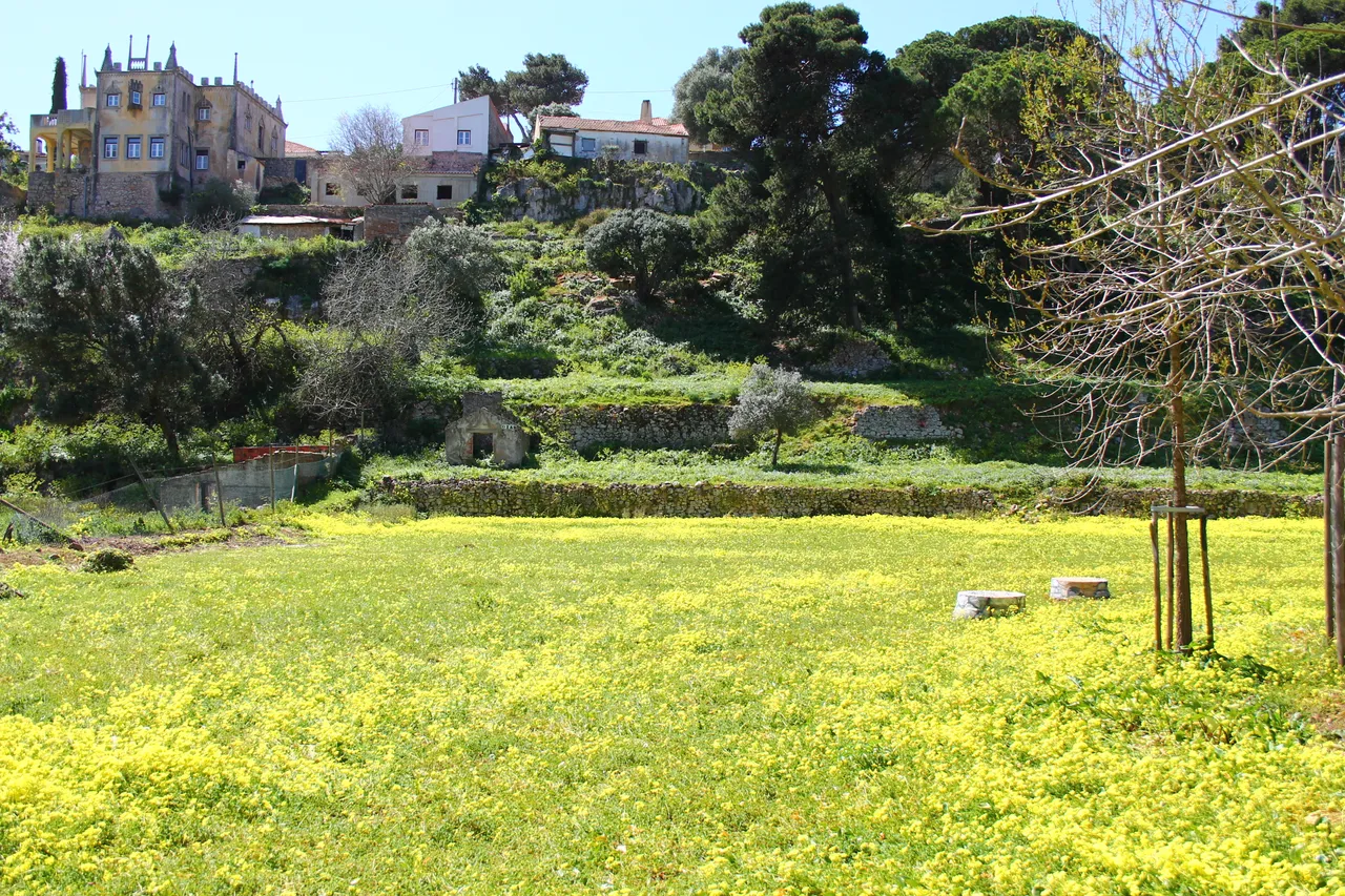
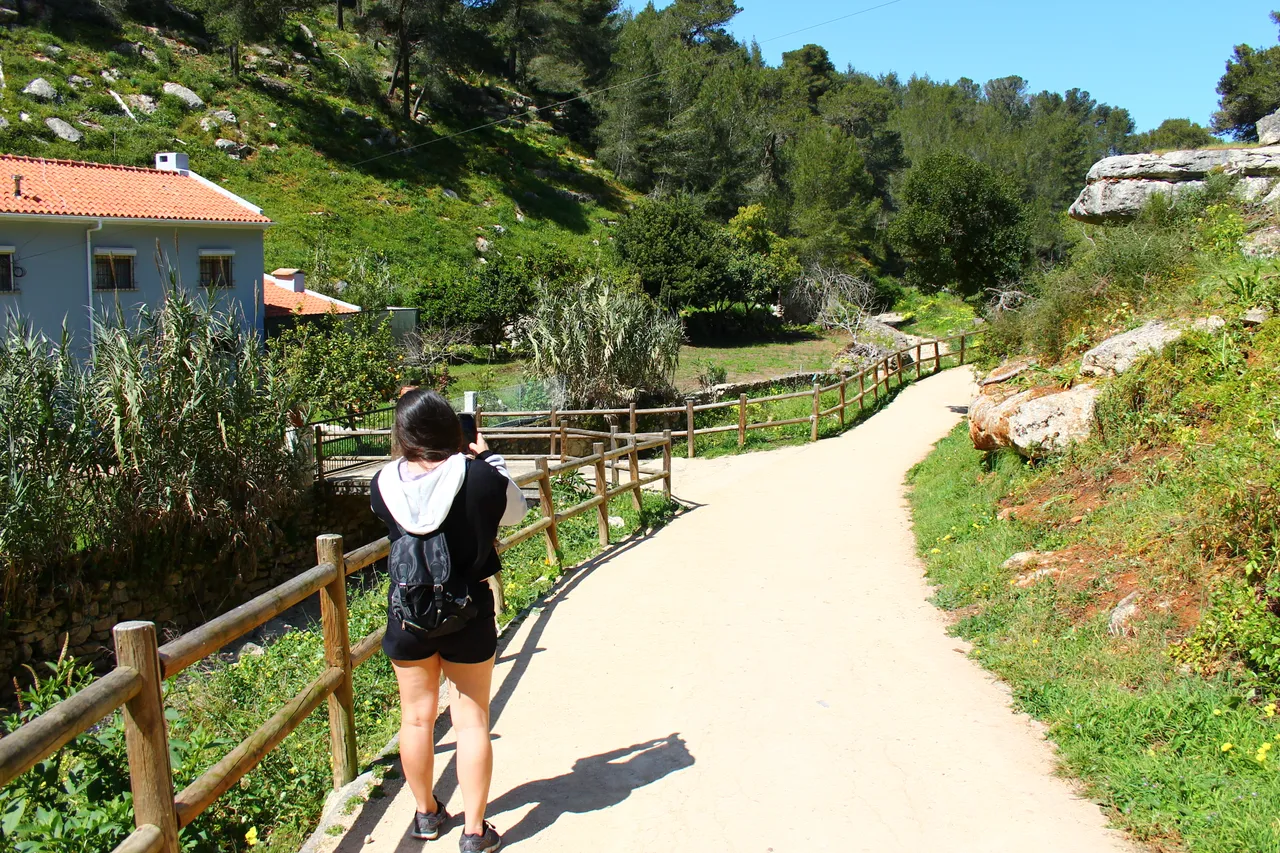
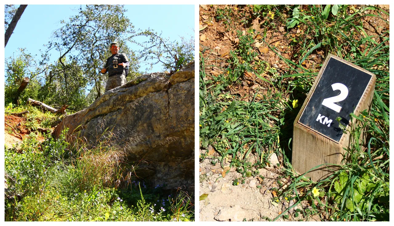
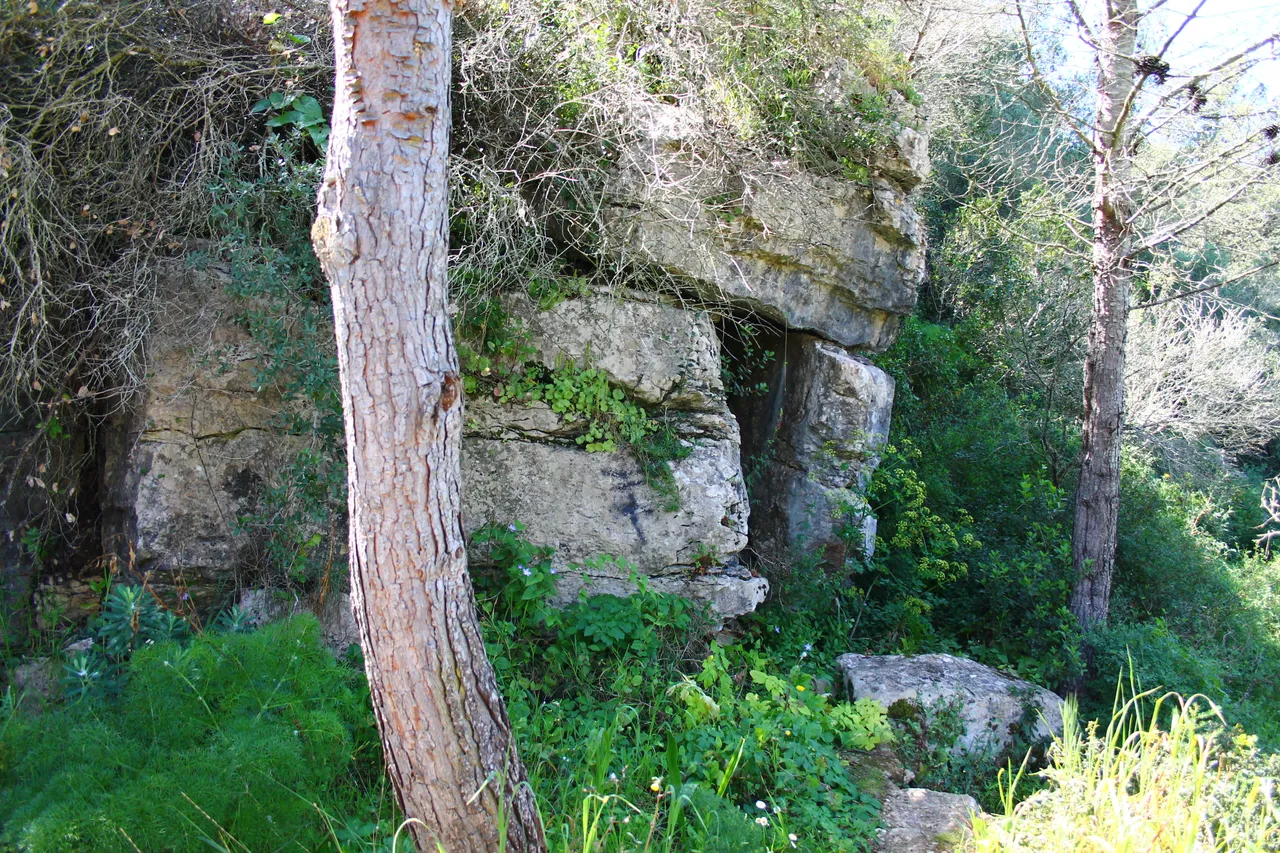
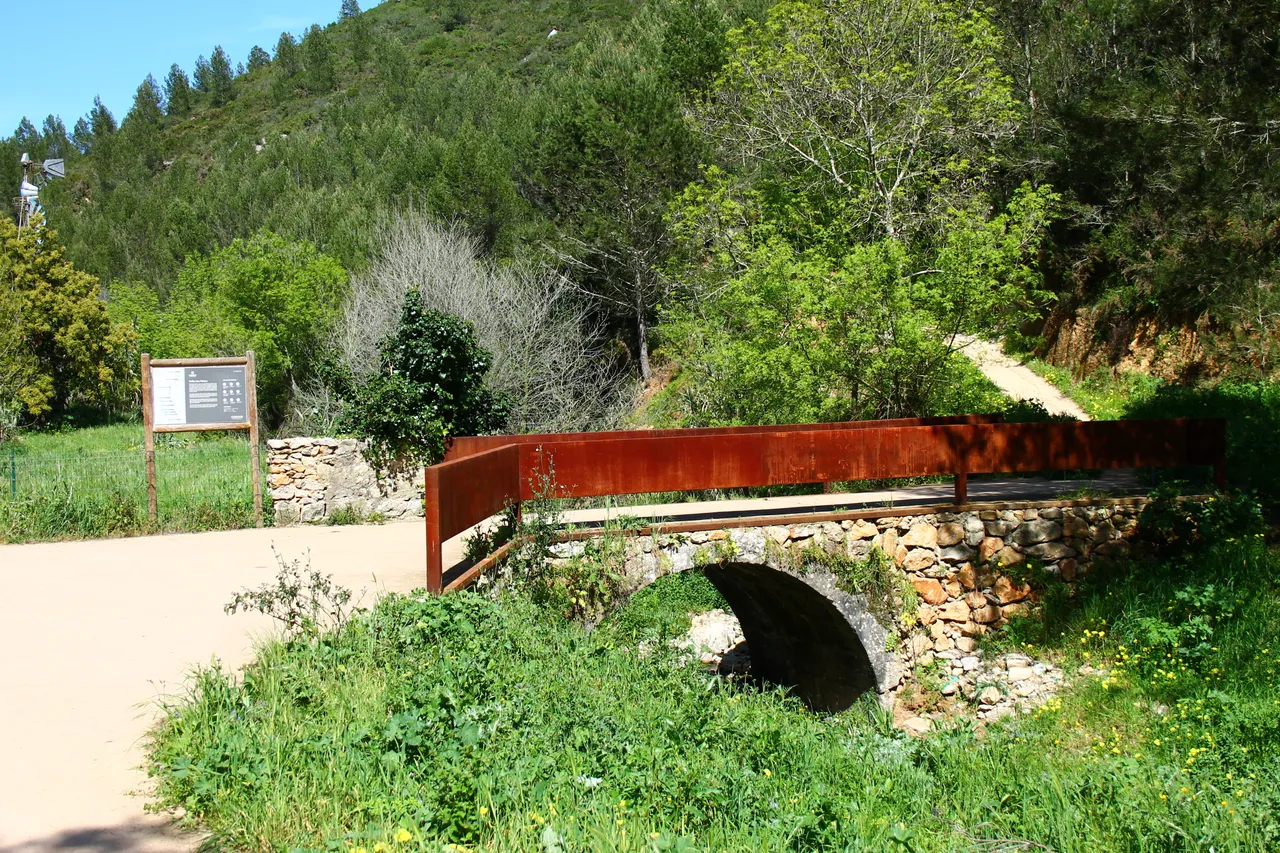
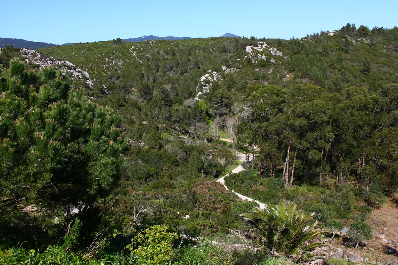
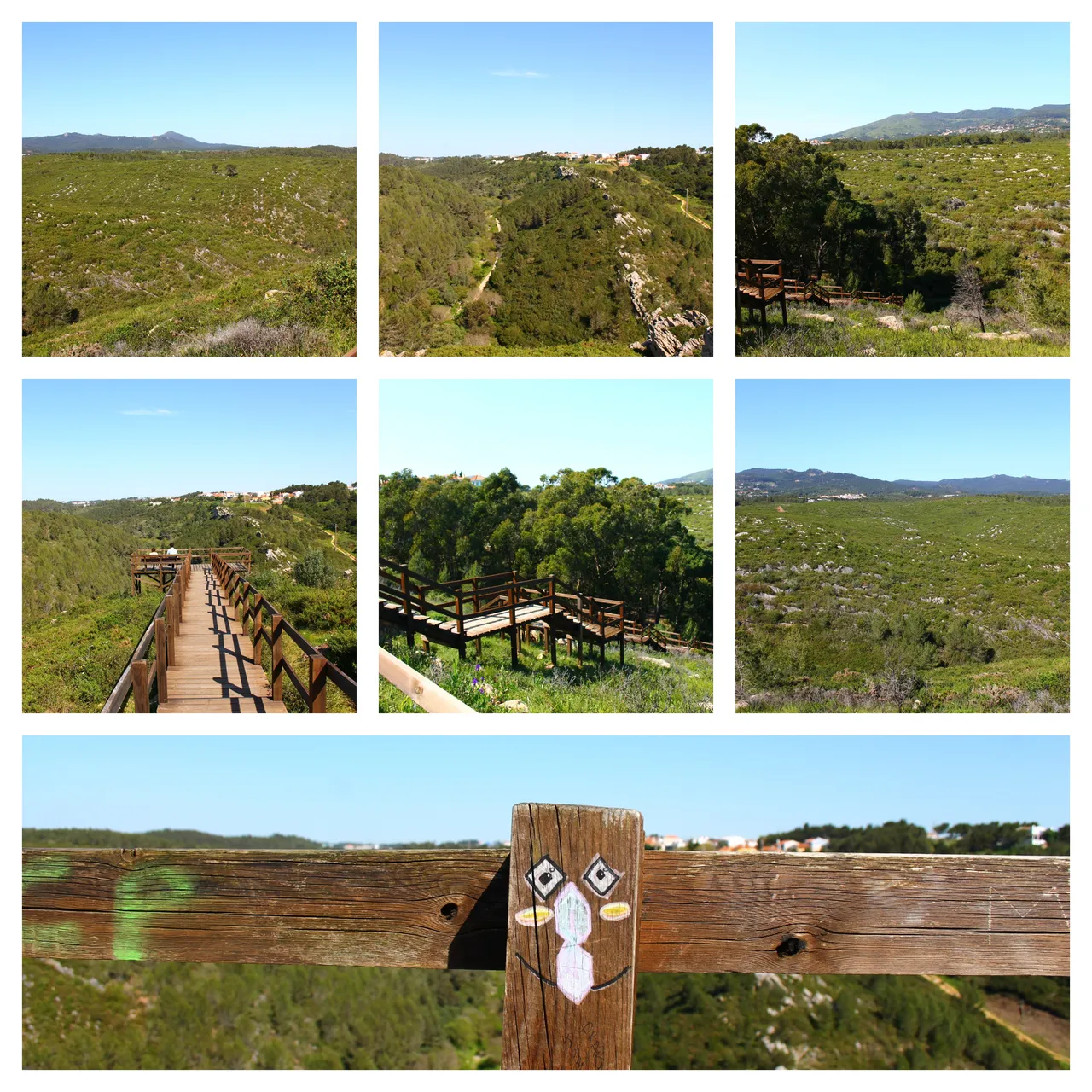
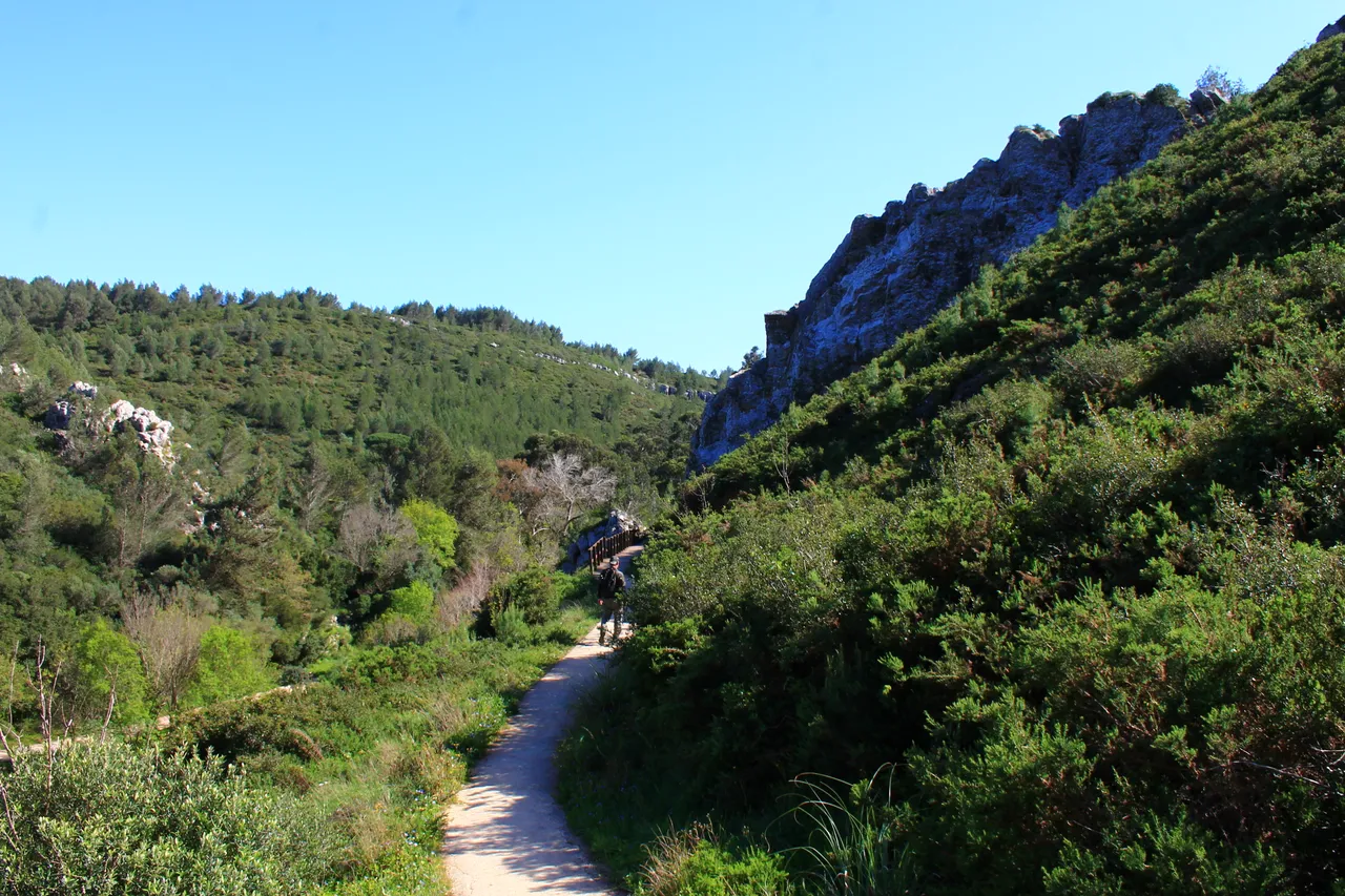
Our second meeting point occurs after 2 kilometers of walking and it is the village (Pampilheira) which is beautiful because while you walk you will pass through a small mountain of about 200 meters to which you can optionally climb and the riverbank is also fed by a small river that gives a special touch to the landscape of the sierra de cascais!🌍🌊
Nuestro segundo punto de encuentro ocurre a los 2kilometros de caminata y se trata de la aldea (Pampilheira) que es bonita porque mientras caminas vas a pasar por una pequena montana como de 200 metros a la que puedes trepar de forma opcional y tambien la rivera es alimentada por un pequeno rio que da un toque especial al paisaje de la sierra de cascais!🚙
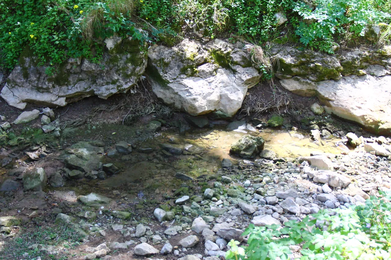
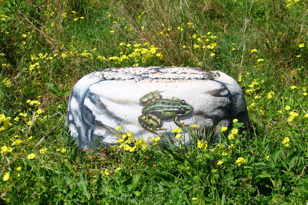
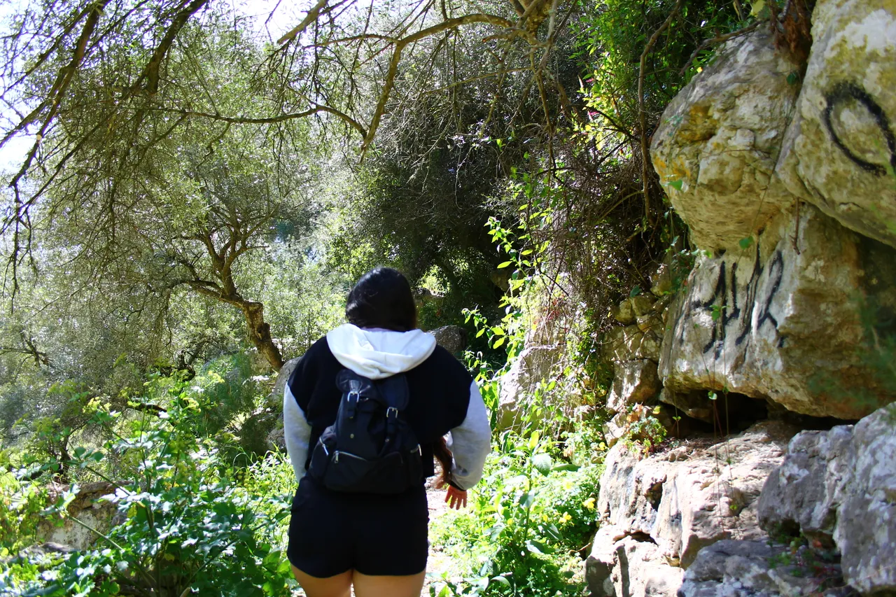
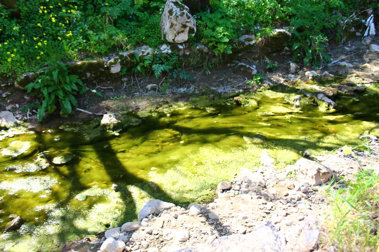
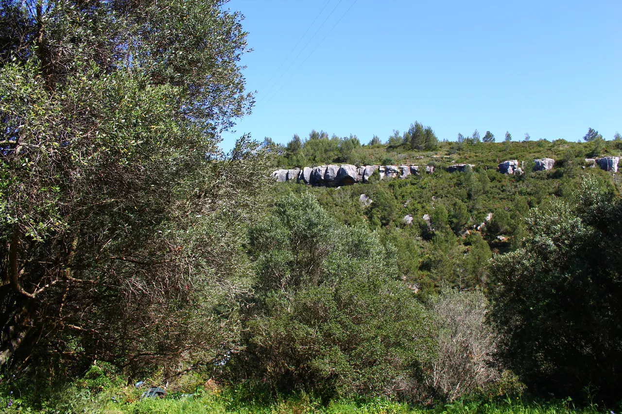
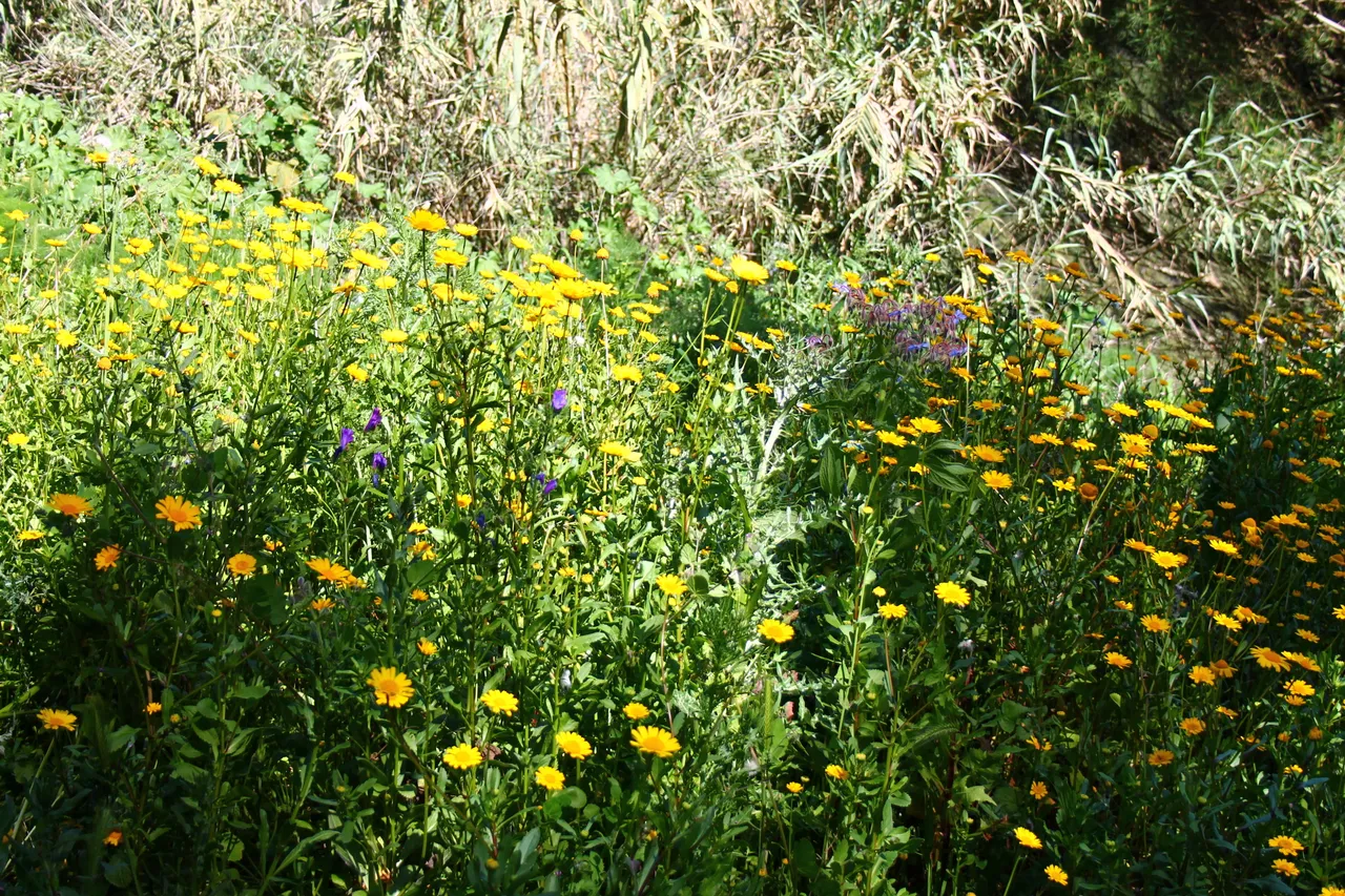
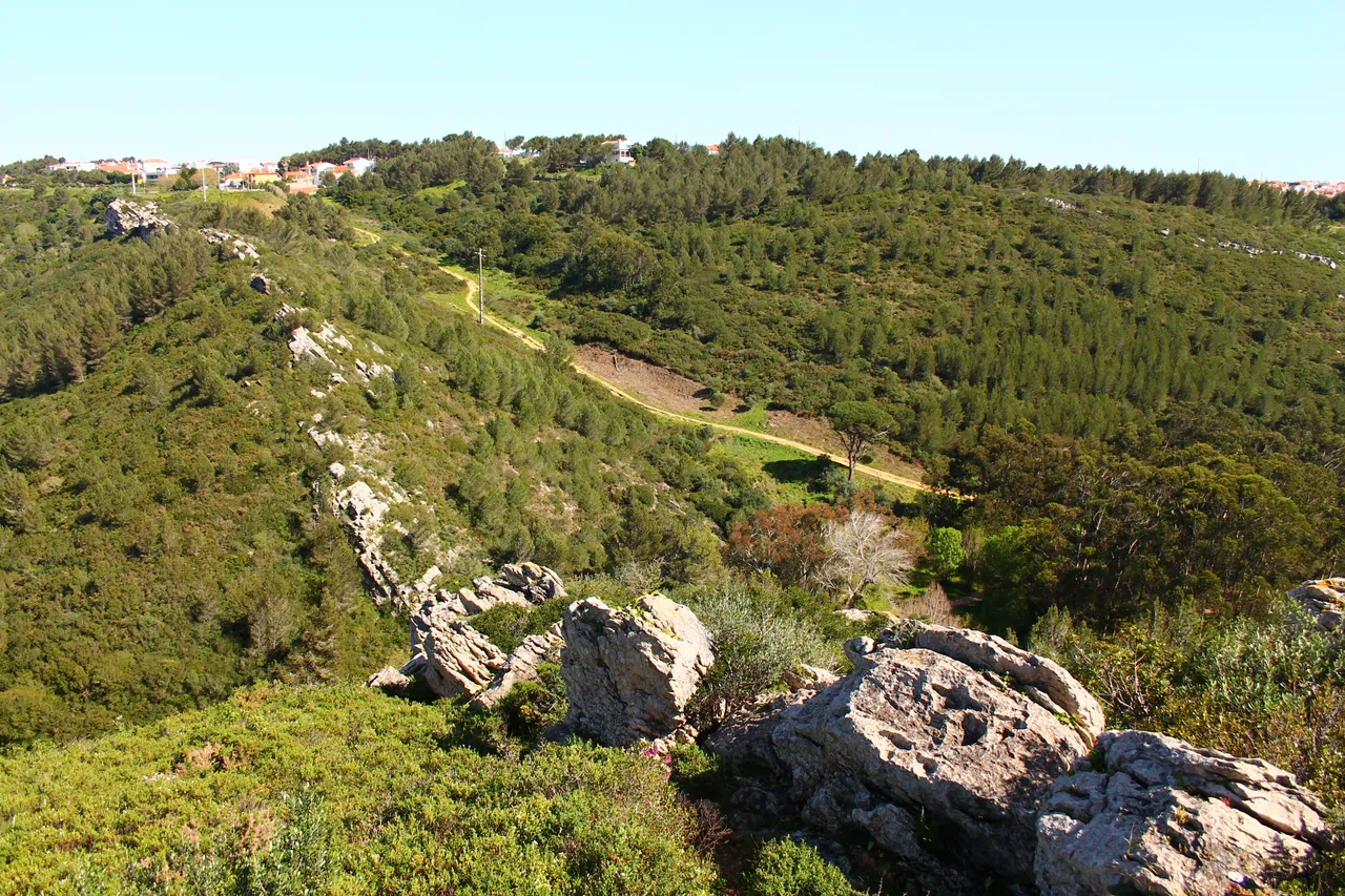
Here is an interesting fact as you can see most of the stream is dry and it is due to the height of the year, in winter the landscape is more beautiful because the river is active however I do not recommend climbing the mountain at that time of the year because it is too dangerous, very prone to slipping and hurting yourself, because most of the trail is dirt and turns to mud! however in winter you can see more animals such as frogs!🚙🚩🌻
Aqui va un dato interesante como puedes ver una mayor parte del riachuelo esta seco y es por la altura del ano, en invierno el paisaje es mas bonito porque el rio esta activo sin embargo no te recomiendo subir la montana a esa altura del ano porque es demasiado peligroso, es muy propenso a resbalarte y hacerte dano, porque una mayor parte del sendero es tierra y se convierte en lodo! sin embargo en invierno puedes ver mas animales tales como ranas! 🌏🛞🧭
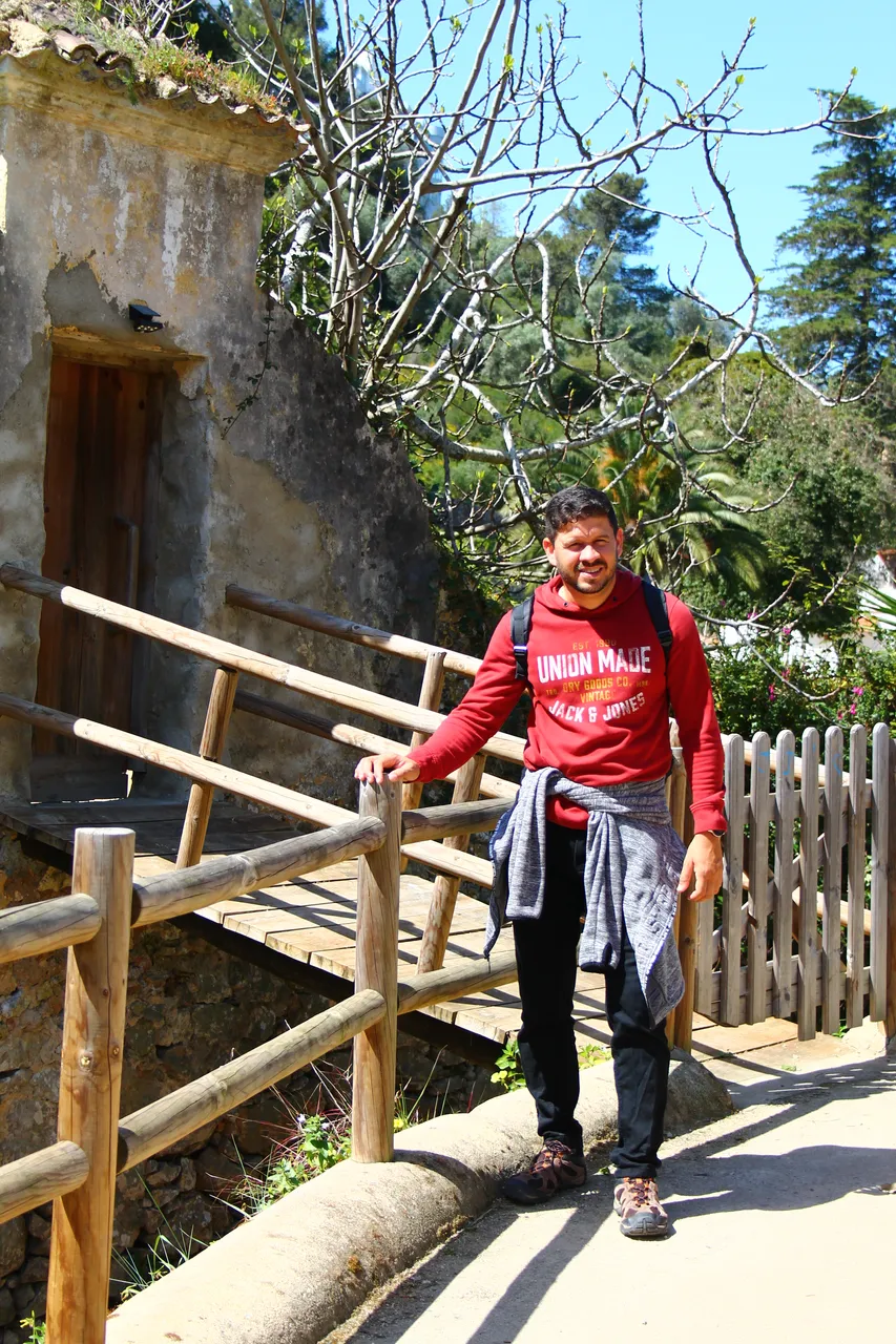
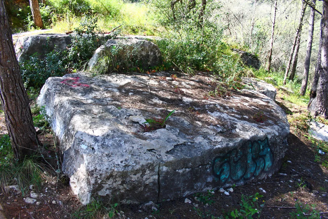
And after reaching the end of the 2 kilometers our next stop is: (Alvide) this is one of my favorite stops because it was when we climbed a small portion of the mountain and ate something to replenish energy, at this point we had already walked (1 .9km) although something strange about the trail is that the measurements are not exact, I was always orienting myself with my watch!🌍🌊
Y luego de llegar al final de los 2kilometros nuestra siguiente parada es el: (Alvide) esta es una de mis paradas favoritas porque fue cuando subimos una pequena porcion de la montana y comimos algo para reponer energia, en este punto ya habiamos caminado (1,9km) aunque algo extrano del sendero es que las medidas no son exactas siempre me iba orientando con mi reloj!🚙

Carrascal (3km)💪🌷/ Tercer punto Carrascal alvide (3km)🧑🏫🚙


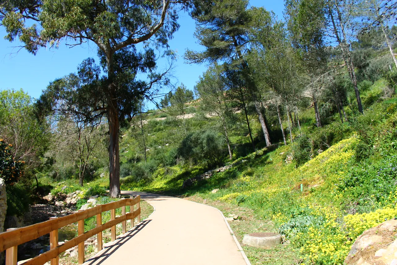
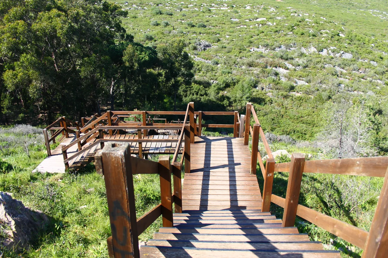
The Vinhas trail is very old, literally more than 30 years old, but the municipal council had neglected it and today it is in rapid recovery. Many years before this, being a trail was a commercial route to communicate all the villages in the region! That's why walking here is taking a walk in the past and Portuguese culture! Do not limit yourself to walking, you can also ride a bicycle or horse!🌏🌻
El sendero das Vinhas es muy antiguo literalmente tiene mas de 30anos pero la camara municipal lo habia descuidado y hoy en dia esta en pronta recuperacion, muchos anos antes de esto ser un sendero era una ruta comercial para comunicar todas las aldeas de la region! por eso caminar por aqui es dar un paseo en el pasado y la cultura portuguesa! no te limites a caminar tambien puedes andar en bicicleta o caballo!🚩🚙🌷
.
A little stop💪🌷/ Una pequena parada(3km)🧑🏫🚙


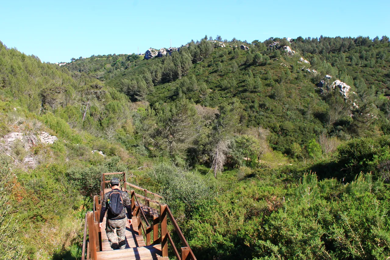
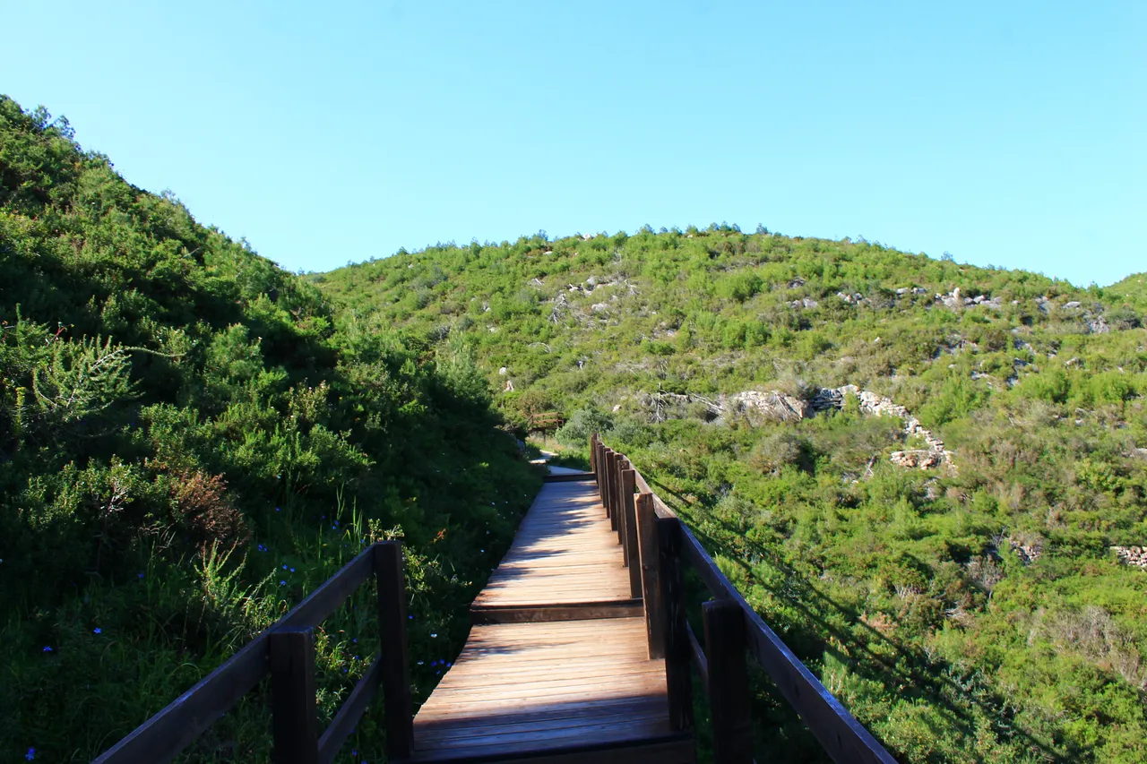
We did an additional climb to the trail adding one kilometer up the hill that connects this trail with "mud", then we ate some things, hydrated ourselves and continued to the next stop (3 circular) which would be the equivalent of half the trail!🚙🚩
Hicimos una subida adicional a la del sendero agregando un kilometro subiendo la colina que se conecta este sendero con "barro", luego comimos unas cosas nos hidratamos y continuamos para la siguente parada (3 circular) que seria el equivalente a la mitad del sendero!🌏🧭
Penas do marmeleiro (4.7km)💪🌷/ Penas do marmeleiro (4.7km)🧑🏫🚙


Pisao de baixo (6km)💪🌷🧑🏫🚙


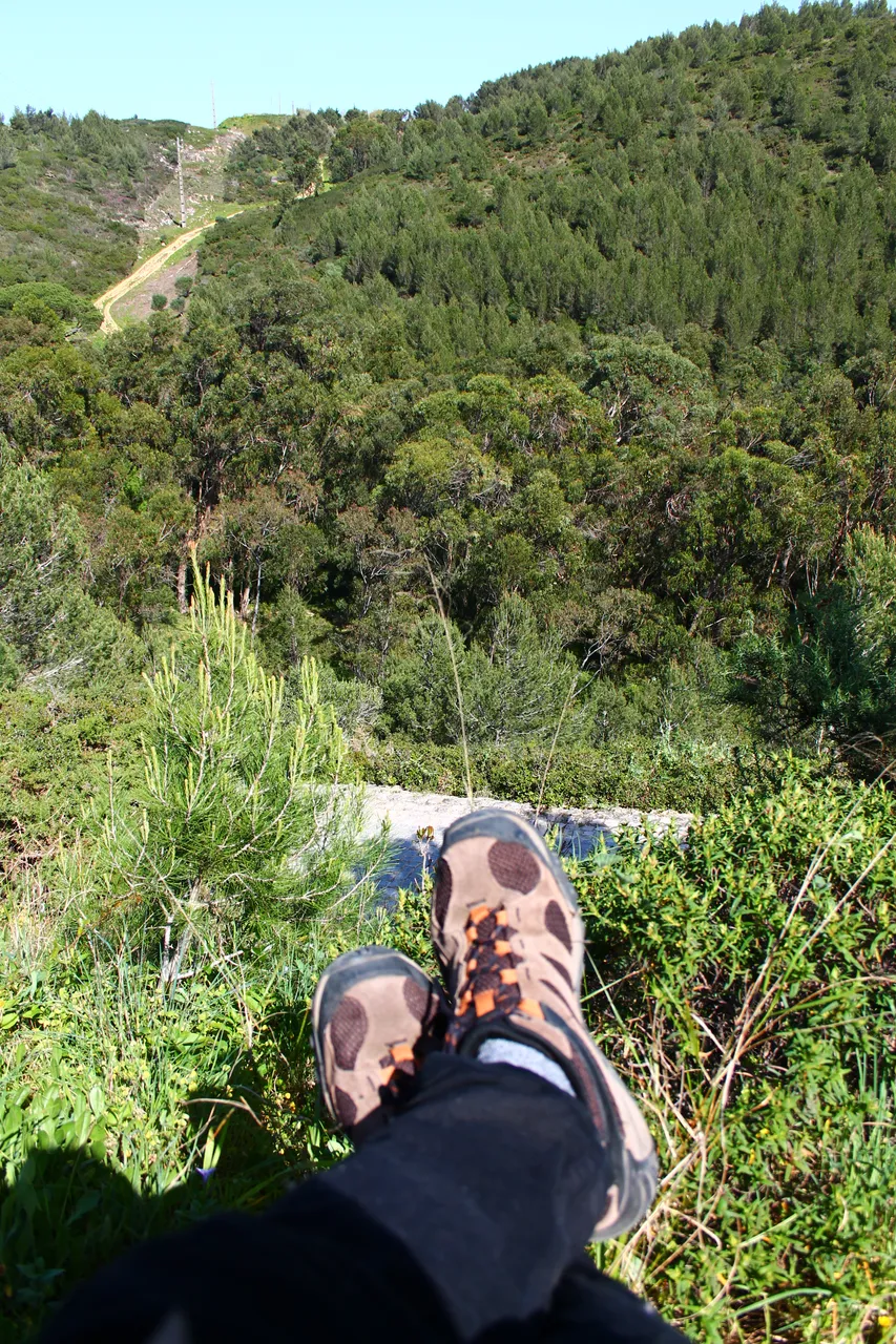


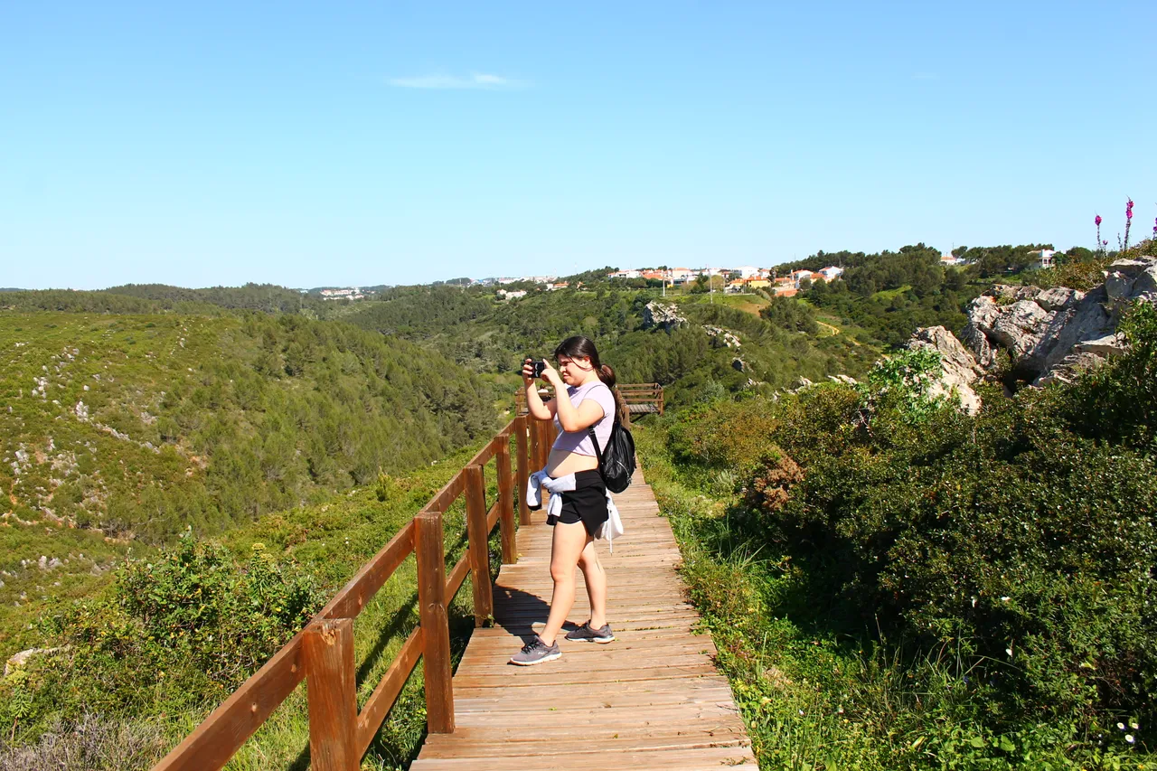
We are in the final stretch of our path and we arrive at Pisao de Baixo, which would be our penultimate stop and we have already walked 6 kilometers. We need to rest. The sun was quite strong and we were very resistant, but little by little we achieved our goal. Here is a very pretty!🧭🚙🌷
Estamos en la recta final de nuestro sendero y llegamos a pisao de baixo que seria nuestra penultima parada y ya hemos caminado 6kilometros, estamos necesitando descansar el sol era bastante fuerte y nos ponia mucha resistencia pero poco a poco conseguiamos el objetivo aqui hay un mirador muy bonito!🌏🚩
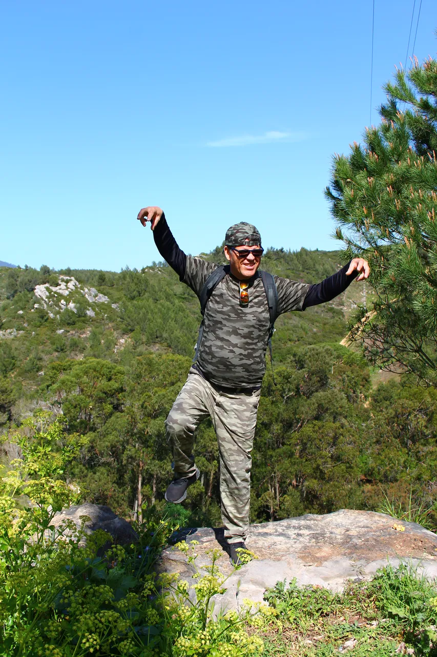
Mission complete🧭 / Mision completada💪🌷🧑🏫🚙


16,55km🧭💪🌷🧑🏫🚙

And we have achieved our adventure in total we covered 16.55 kilometers, a whole marathon! Of course let's remember that this is a round trip, if you want something easier you can bring your vehicle further forward and shorten the stopping points! but if you like challenges like me!!! then do the 17km.🌷🚙
Y hemos conseguido nuestra aventura en total recorrimos 16,55 kilometros todo un maraton! claro recordemos que esto es ida y vuelta, si quieres algo mas facil puedes traer tu vehiculo mas al frente y acortar los puntos de parada! pero si te gustan los retos como a mi!!! entonces haz los 17km.💪💪

DNA is an organization to foster and DENSIFY NATURE-APPRECIATION which aims to establish REPORTS OF BIODIVERSITY DATA that is contributed by all of us Hiveans and subsequently cataloged.
Therefore DNA searches for HIGH-QUALITY posts that aim to DESCRIBE and determine the BIODIVERSITY AROUND YOU with added EXPLANATIONS and INFORMATION. For these informative posts they offer a CURATION SERVICE using the @dna.org account. It is also a CURATION TRAIL. Just add the #dna TAG if you think that any of your posts is what they are looking for.
THANKS FOR READING ME (PHOTOS OF MY PROPERTY) / GRACIAS POR LEERME FOTOS DE MI PROPIEDAD🙂🧠🦾👍
Sources: