This adventurous trek goes into the Dhauladar Range, which is one of the middle Himalaya's southern ranges in the north of India.

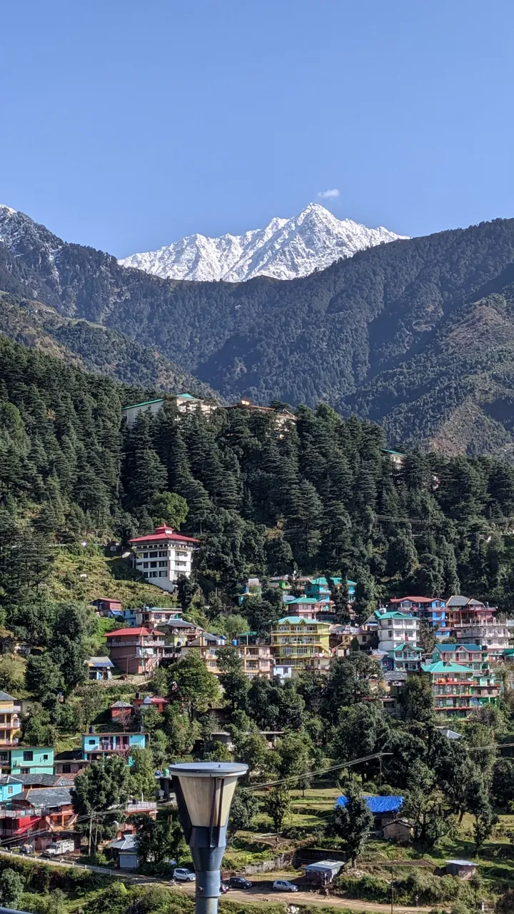
I had been staying in the village of McLeod Ganj (near Dharamshala) - also called "little Lhasa" due to the majority of exiled Tibetans, including His Holiness the Dalai Lama, living here - as it is a very nice place between culture and nature. There's some tourism here but it's still quite nice and not too crowded, also very diverse.
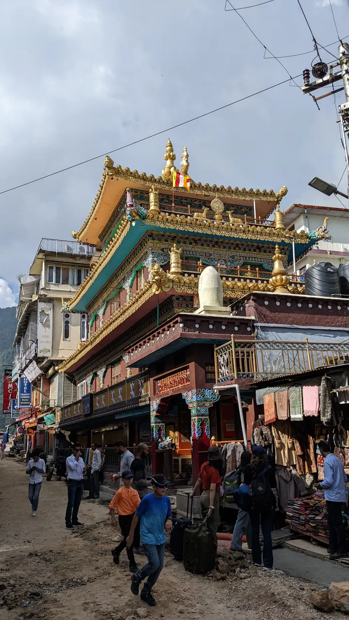
∆ Buddhist temple in McLeod Ganj
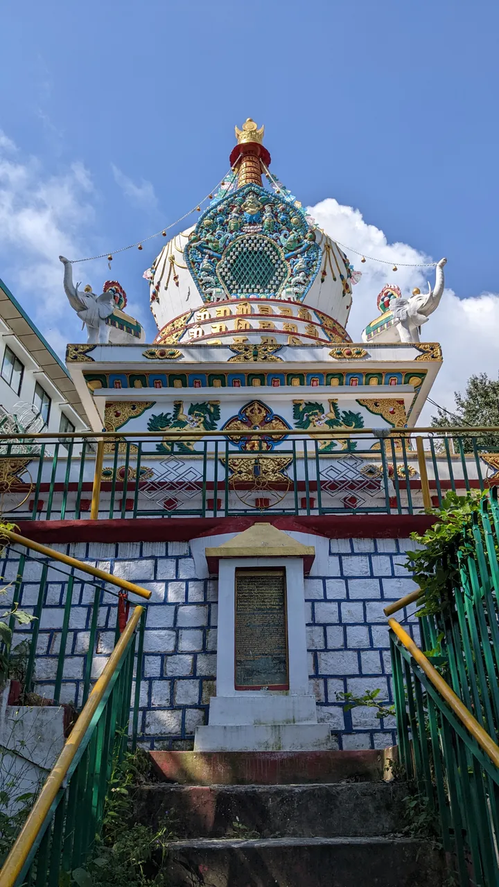
∆ Buddhist "Stoopa"

∆ The villages
The most popular trek here is to Triund, just about 6 Kilometers with an elevation gain of about 800 Meters and a very nice view from the top.

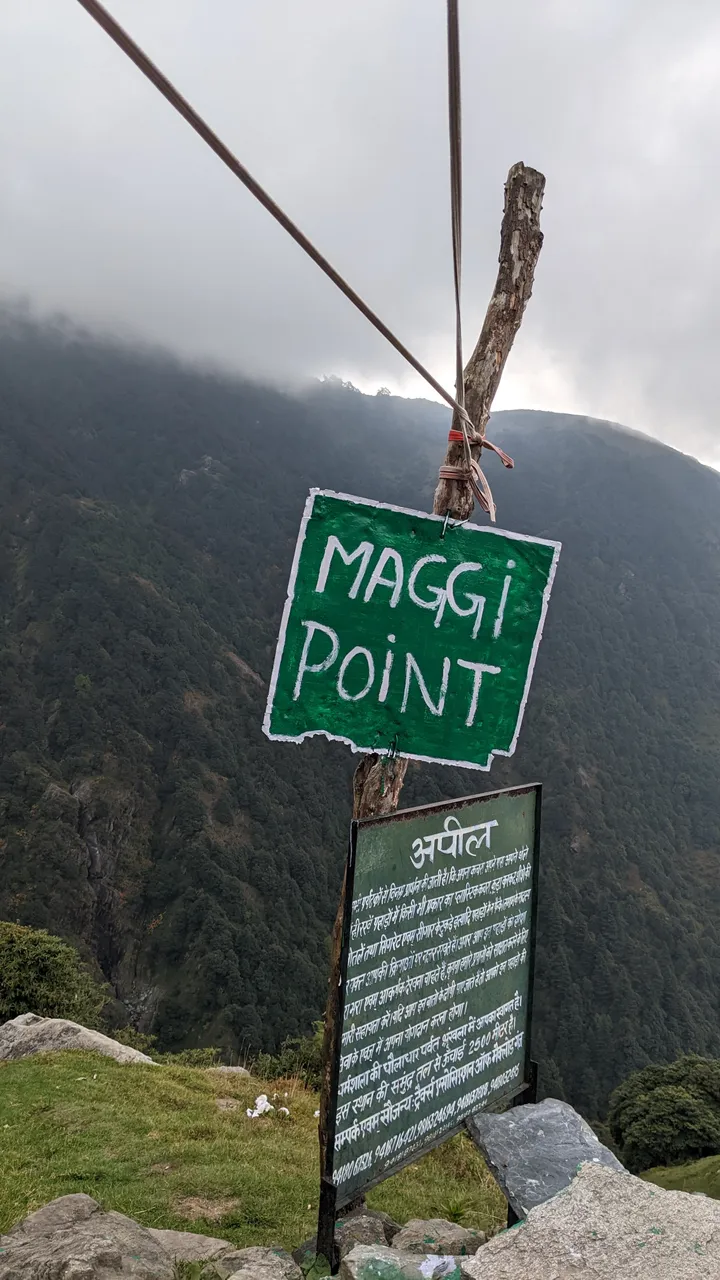
∆ Maggi is a big thing here xD

∆ Hindu temple at Triund
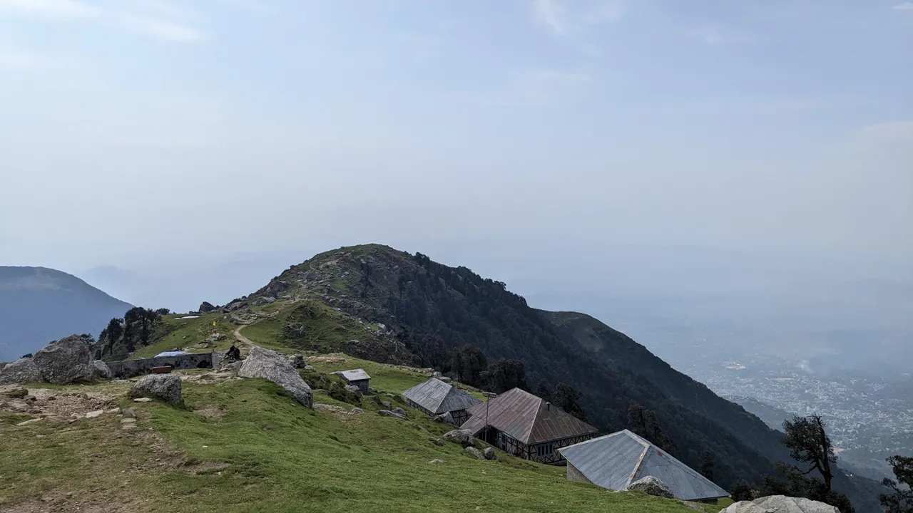
∆ Triund top
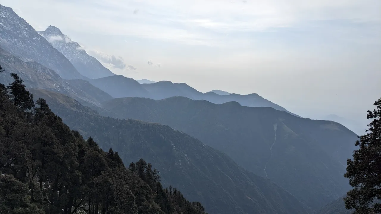
∆ View towards the east
That was an easy start for me, I was going alone, with my equipment, including tent and all.
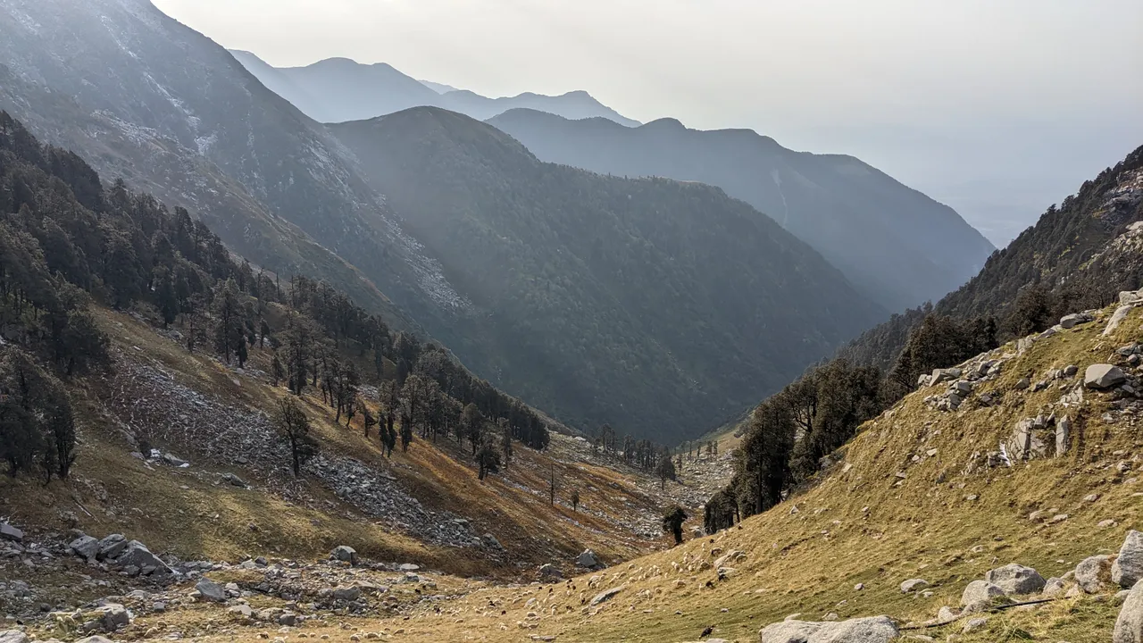
I reached Triund before 12 and continued to the snow line and to the last houses, tea shops that form the "settlement" Llaka.
The weather at that altitude (above 3000 meters) is usually clear in the mornings but after noon the clouds start coming in very quickly and what might be rain a bit lower down is hail and snow at that point. I was caught by hail on the way to Llaka so when I reached there, I waited out the rest of it for a couple of hours.
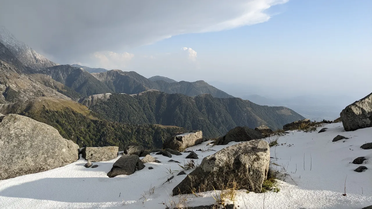
∆ After some hours the weather cleared up
Then I reached the last tea shop of Llaka, where a local told me about a cave, some 2 hours further up, where I could stay for the night as well.
∆ Post-hail/snow clouds
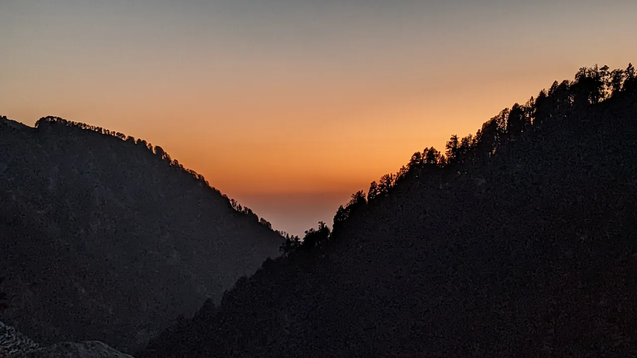
I opted for that but it was already getting dark and soon after heading out, snow started to fall and the night arrived.

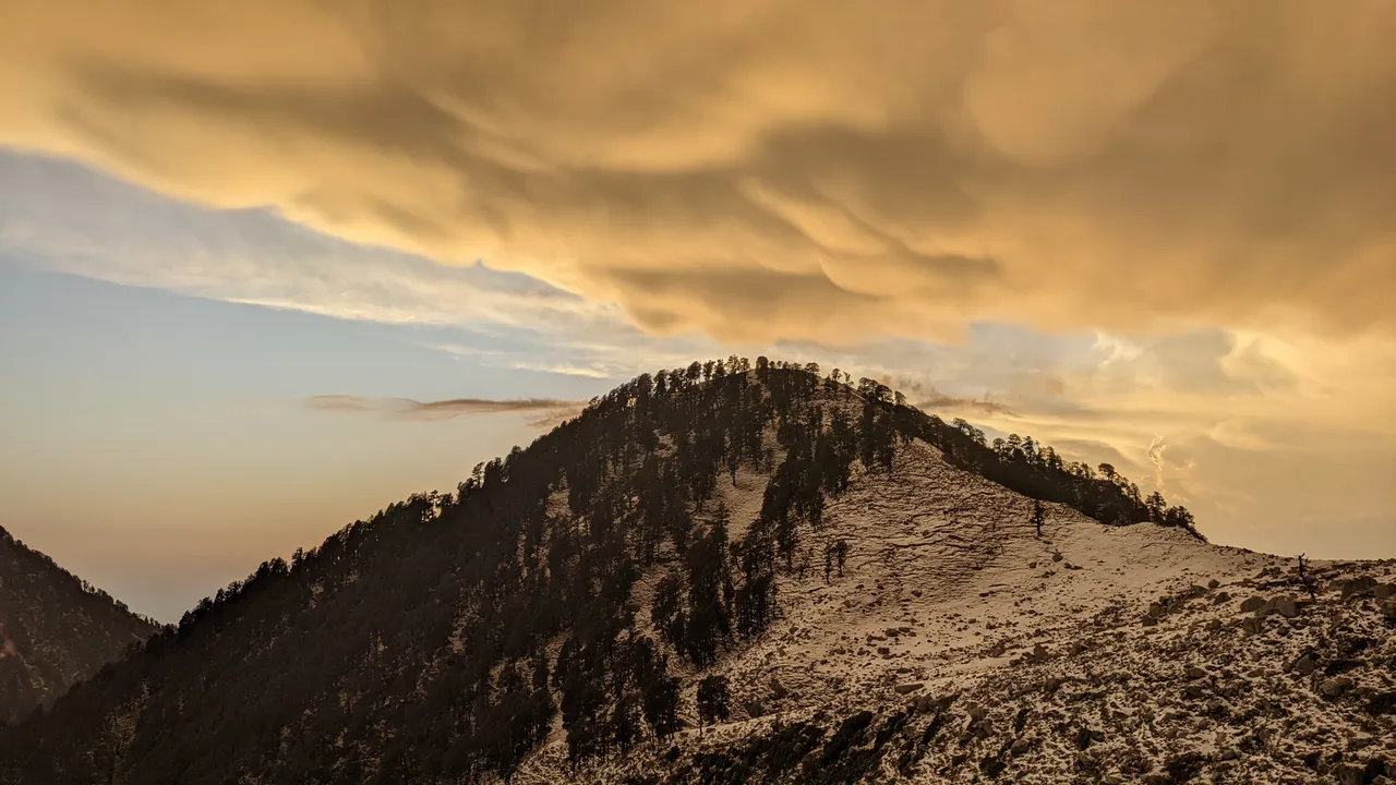
∆ Sunset
With my headlamp I couldn't see very far, soon I had lost the trail and was climbing up a steep slope in the snow until I thought of using my offline-maps and GPS which worked just fine. Unfortunately, the only cave on the map wasn't the one I wanted to go to, so I ended up going much further than originally intended. That turned out to be a nice advantage the next day tho.
The night was cold and the cave small, so I just used my tent as a blanket over my sleeping bag, which was acutally nice and warm.

∆ The cave
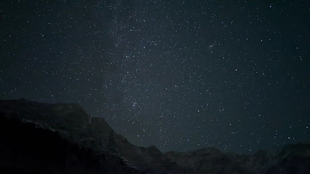
N I G H T
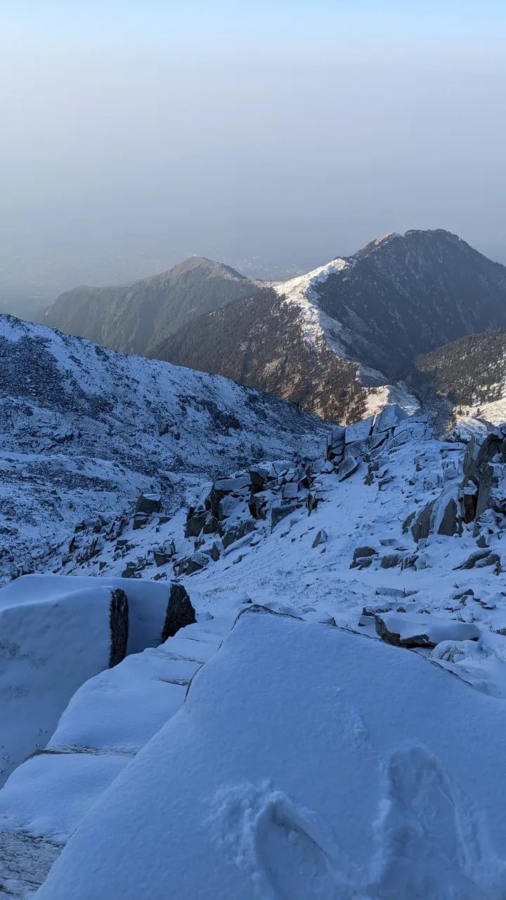
The next day before sunrise I started the last cold ascend to the pass: 800 Meters altitude gain on 1.2 Kilometers distance.

∆ At sunrise
With all that snow it was a bit brutal and I slipped a couple of times in the snow-covered sort of staircase which was the path now.
Sometimes I had to climb, it was the perfect challenge. I felt like on the endless staircase in "Lord of the Rings" xD
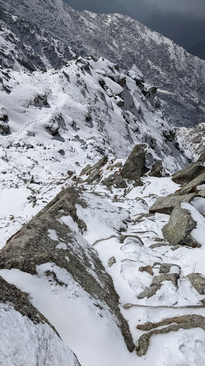
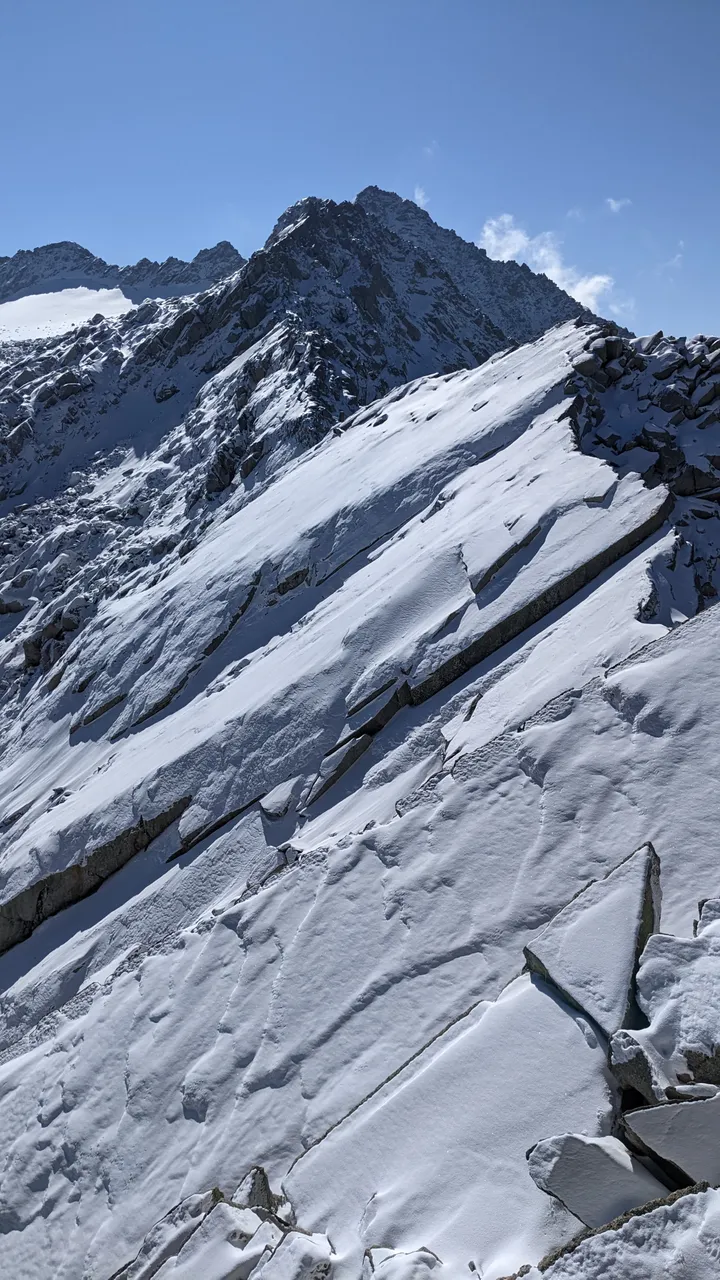
∆ The trail through the snow
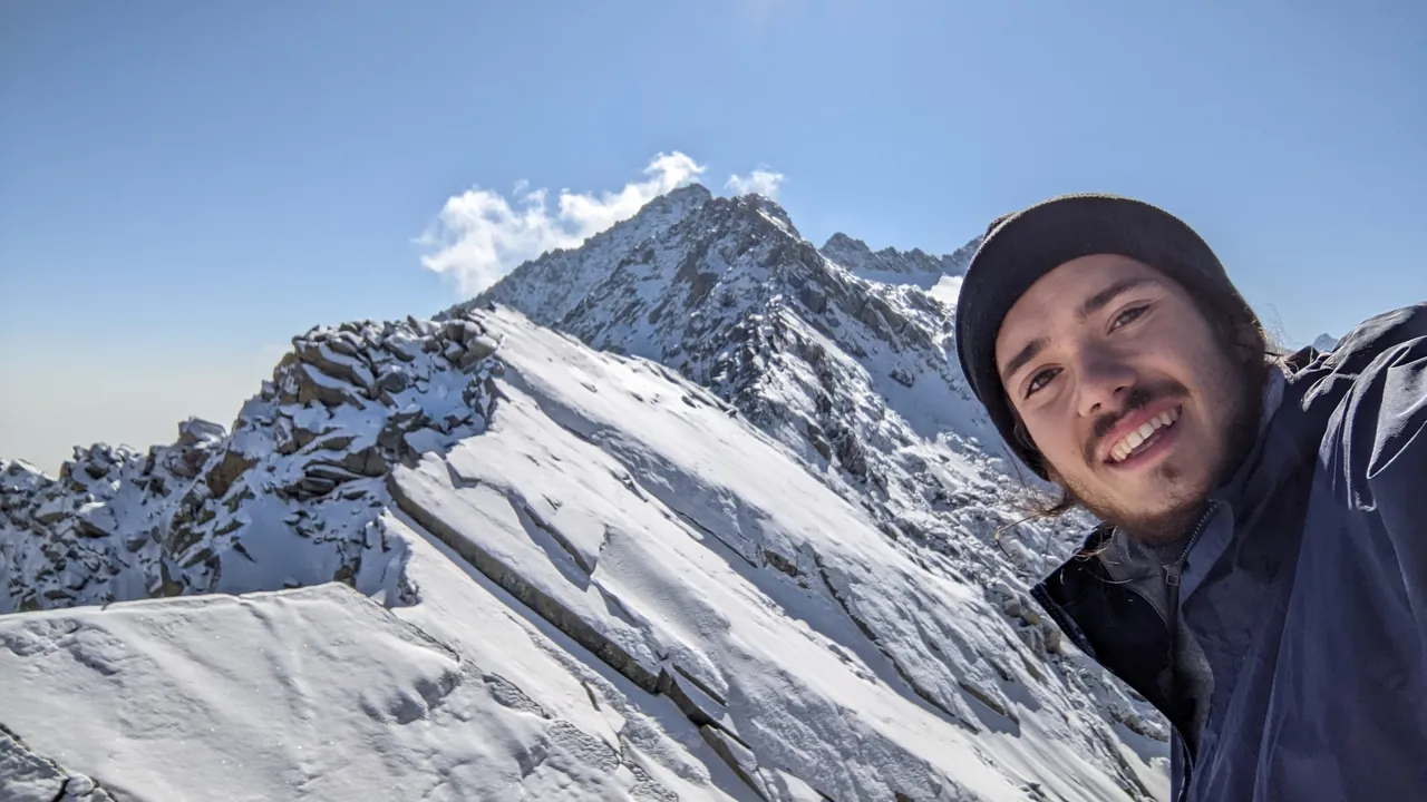
I reached the pass on 4350m at 9:30 when the skies were still blue and clear. It was just stunning and peaceful in the sun, with the view on the other side with another Himalayan range in the distance.
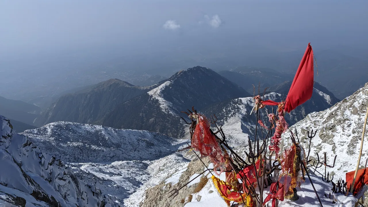
∆ A small Hindu temple to mark the top
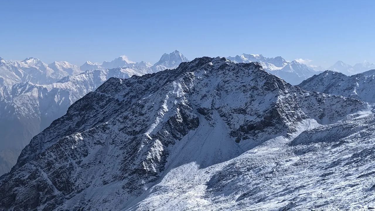
∆ Mun/Moon peak in the background

∆ Vastness
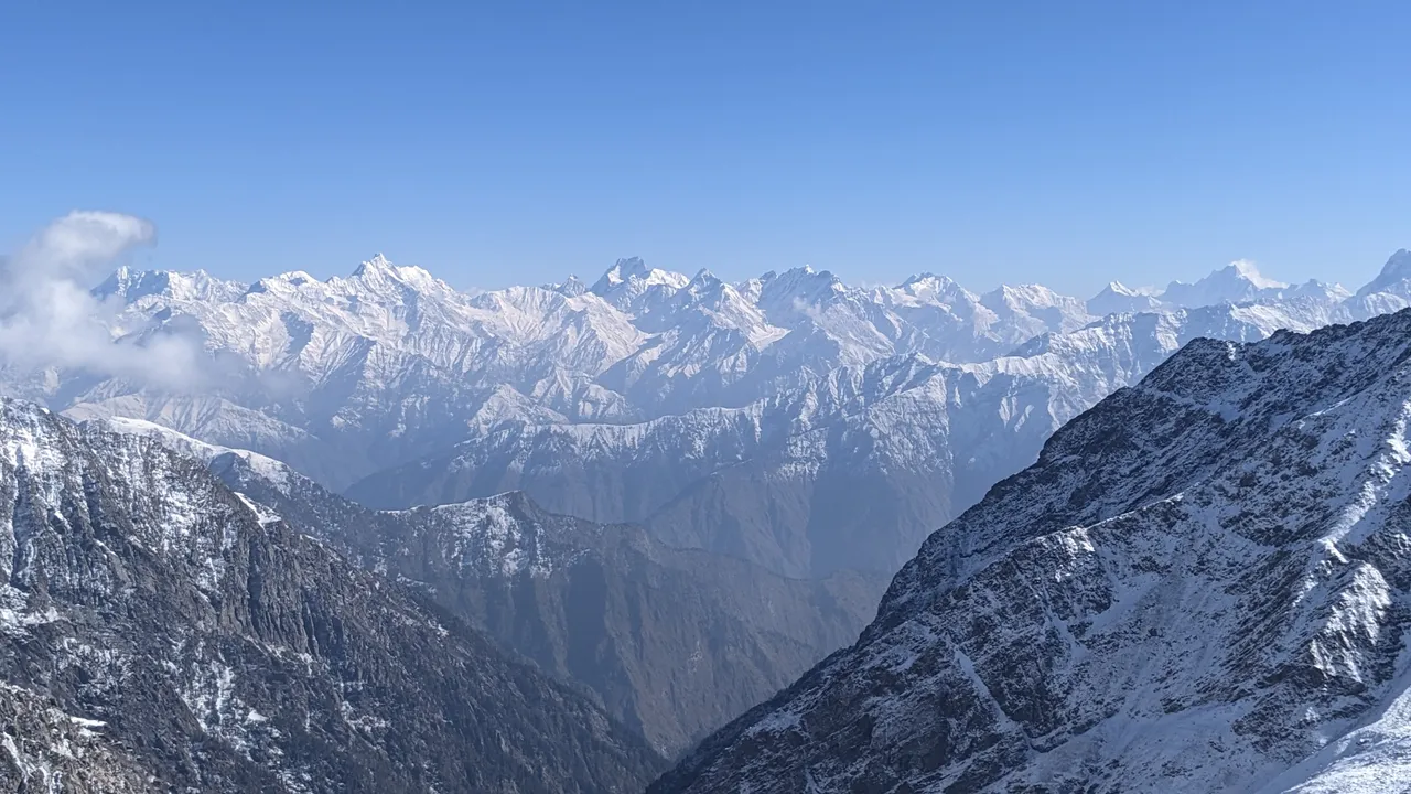
∆ I was absolutely stunned by the view to the north! (Another Himalayan range I don't know the name of)
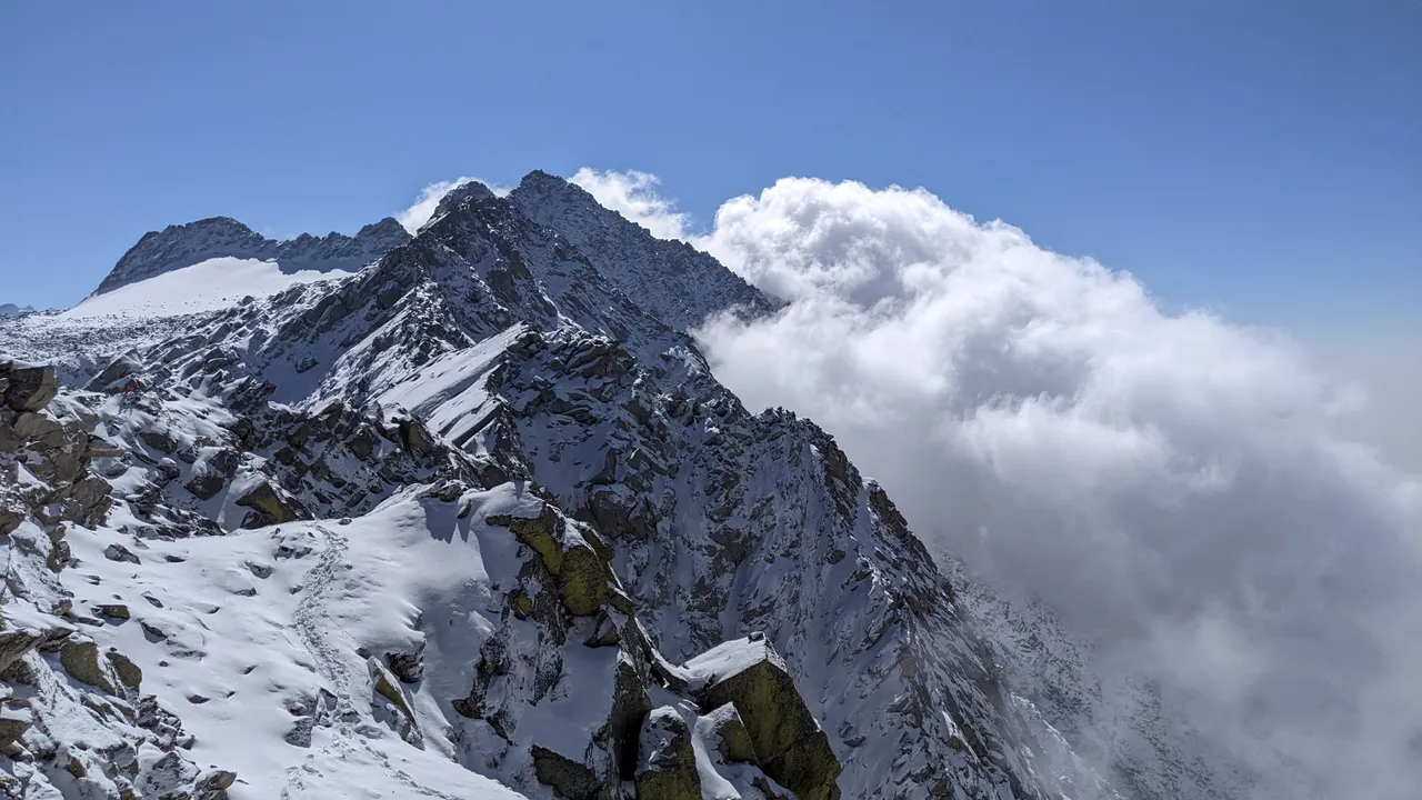
After 40 minutes the expected high clouds started coming in and and I started my way down.

∆ Above the clouds

It was difficult but fun when I could sometimes just slide down on the snow, trying not to hit any rocks.
Further down I met another guy with a guide, but they were delayed and he got sick on the way up so they turned back halfway. I joined them and he invited me to stay another night in Llaka, which turned out to be a good choice, since I was a bit exhausted from that battle with the snow.

∆ Inside the teahouse
∆ The sunset that night
We stayed in the tea house, had nice food (rice and dal and maggi xD) and went back down the next morning.

∆ The snow was melting the next day
∆ Just a beautiful area to hike in
I arrived in McLeod at 1 or 2 and just rested for the day, my muscles were quite sore after that whole trek.
All in all that was an epic trek, one of my favourite solo treks and one of the more challenging and dangerous ones as well.
∆ The next day, the snow was back!
I'll post about some other adventures soon, I hope you enjoyed the read and the pictures.
Cheers, Alban 🤙
(All pictures were taken by me with the Google Pixel 5)
Pinmapple:
[//]:# (!pinmapple 32.29491 lat 76.38336 long Indrahar passs d3scr)