Autonomous cars are very close and, among the different technologies that make them possible, there is one that is gaining more and more importance, LIDAR (Light Detection and Ranging) sensors. A recent investigation carried out by a team of researchers from MIT (Massachusetts Institute of Technology) has presented a new approach to treat the information collected by these sensors.
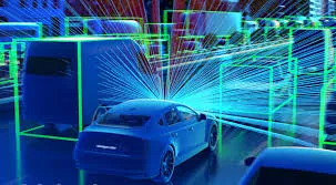
LIDAR sensors emit pulses of infrared laser beams that are picked up by a lens and subsequently processed by a processor to generate 3D maps of the environment. Autonomous cars use them because they need to see what is happening around them to be able to drive themselves and with these sensors they can recognize the environment almost as drivers do with their own eyes.
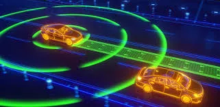
A fundamental advantage of these sensors is that they allow both identifying objects in the environment and their distance. In addition, they do it with great precision. They are, therefore, really effective. For this reason, at present, the vast majority of car manufacturers seem willing to bet on this technology. Even Tesla, one of the few who until now has not been in favor of their implementation, seems to be testing them with a view to using them in their autonomous car models. Or, at least, that is what emerges from some news recently published in the press.
However, despite all the potential they seem to have, LIDAR sensors have a problem. The amount of 3D data they generate is immense, so they demand enormous computational processing power. One piece of data is enough to illustrate the scale of the problem: a typical 64-channel sensor can generate a total of more than two million points per second. Analyzing this flow of information with state-of-the-art 3D models requires up to 14 times more calculations than is needed to process 2D images, which has led to the fact that, until now, in order to achieve efficient navigation, engineers have seen each other forced to collapse the data in 2D models, with the consequent loss of information that this entails.
To solve this problem, a group of MIT researchers have been working on an autonomous driving system capable of navigating using only raw 3D point cloud data and low-resolution GPS maps like those available on current smartphones.