This content was deleted by the author. You can see it from Blockchain History logs.
Pictures and words
We started from the Willow Creek trailhead in Crestone, Colorado, and hiked east up into the Sangre de Cristo mountains.
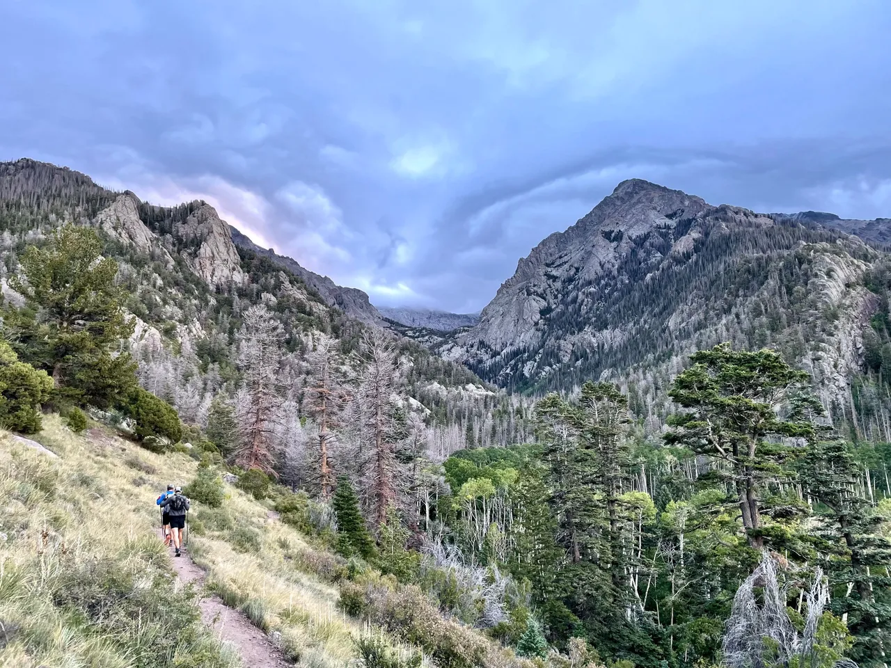
Our targets: Challenger Point (14,086 feet), Kit Carson Peak (14,167 feet), Columbia Point (13,980 feet), Obstruction Peak (13,799 feet), Mt. Adams (13,931 feet), and the handful of unnamed 13ers on the ridgeline between Obstruction and Adams. Here's the view looking west downvalley at around 7am.
By the time we got up into the basin near treeline, everything up high was all socked in.
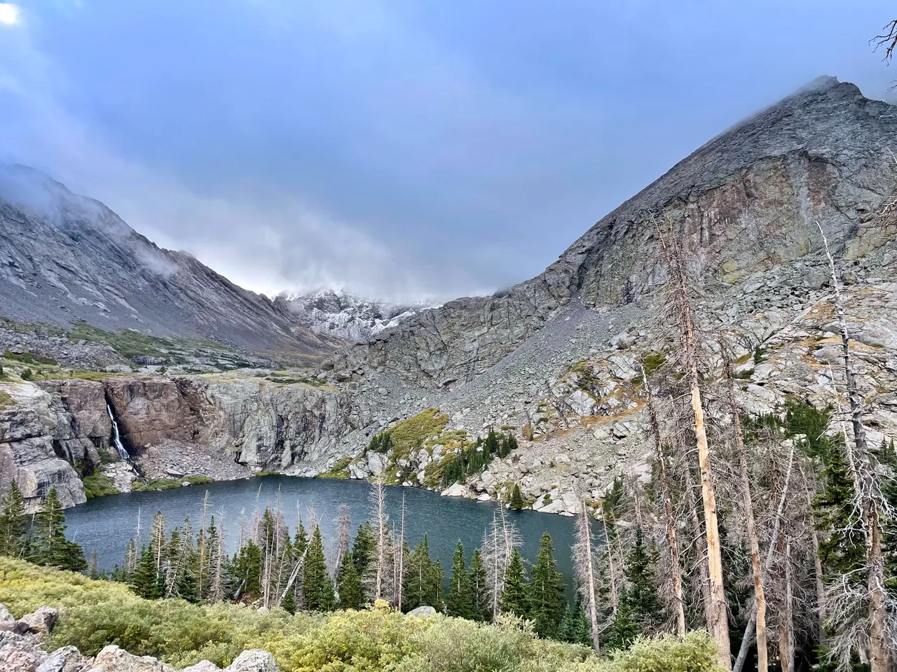
Here's Willow Lake, looking again downvalley. We're somewhere around 12,000 feet above sea level right now.
Another shot of Willow Lake, looking up into the basin. Challenger/Kit Carson/Columbia are all up to the right, and the ridge from Obstruction to Adams is to the left.
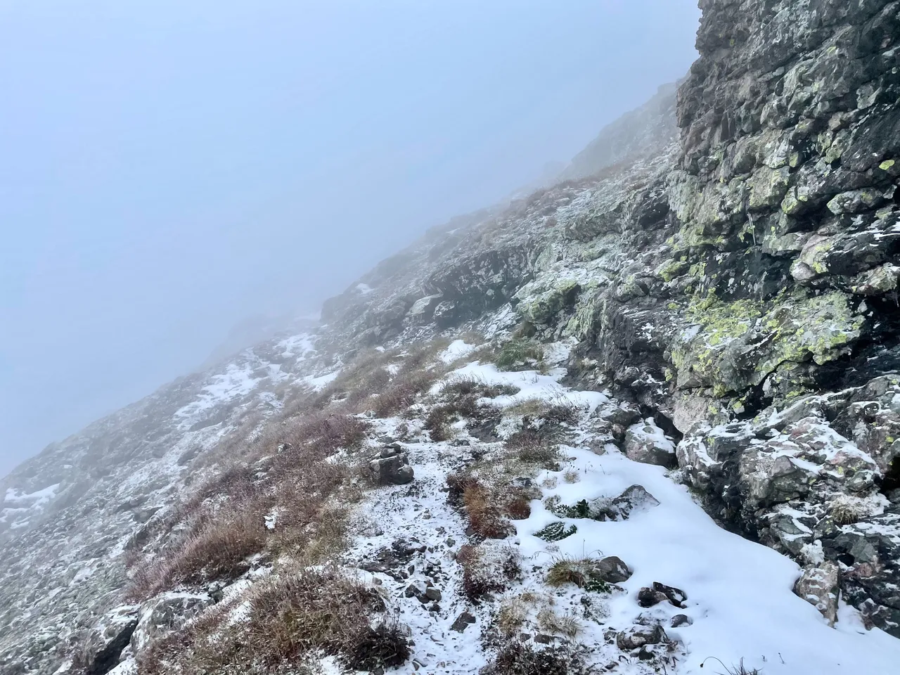
Now on our way up Challenger's northeast slope. Foggy, but still plenty of visibility to find the trail.
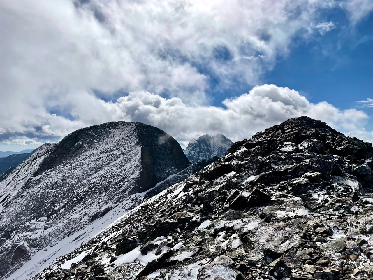
The clouds break as we gain the ridge that leads to Challenger. The wind comes strong enough to knock us off our feet. That thing across the valley that looks like a pyramid is Mt. Adams.
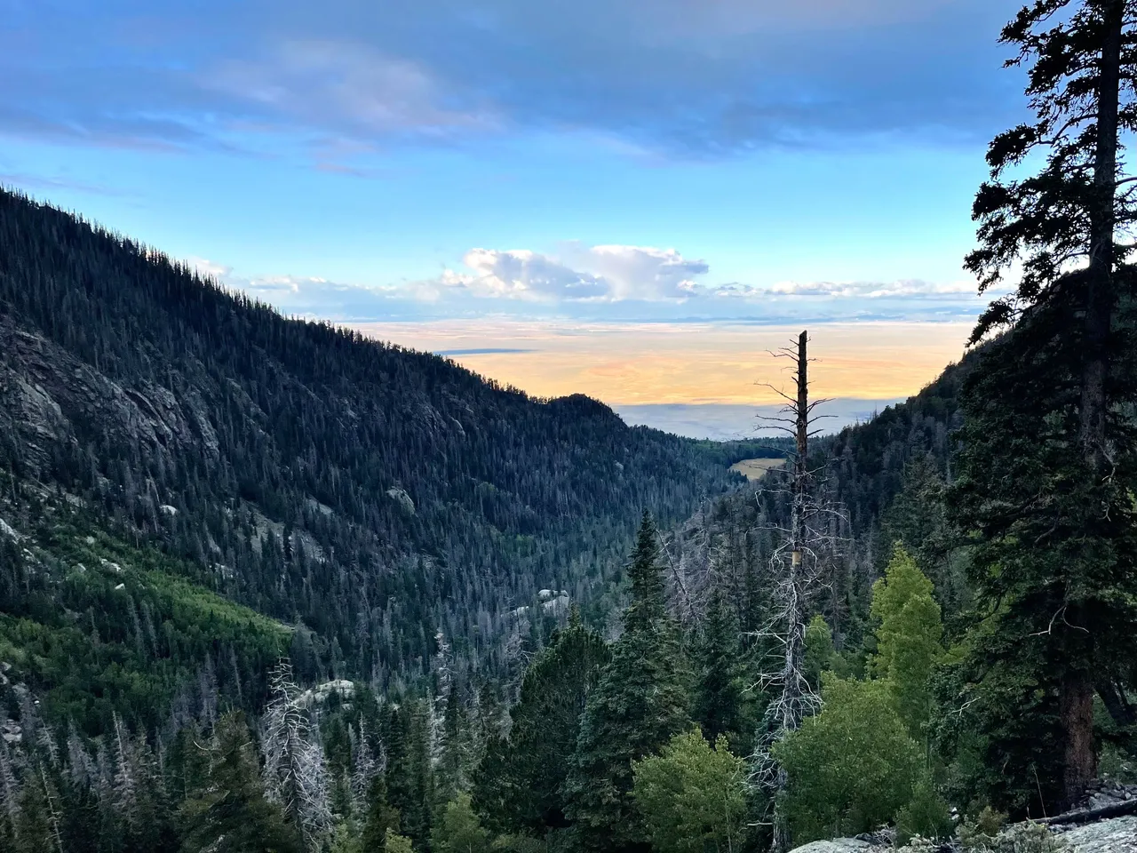
Here's the view from Challenger, looking northwest across the San Luis Valley.
Now we're looking east southeast, with Challenger at foreground right and Kit Carson a bit back at left. Crestone Peak (14,299 feet) is in the clouds far behind.
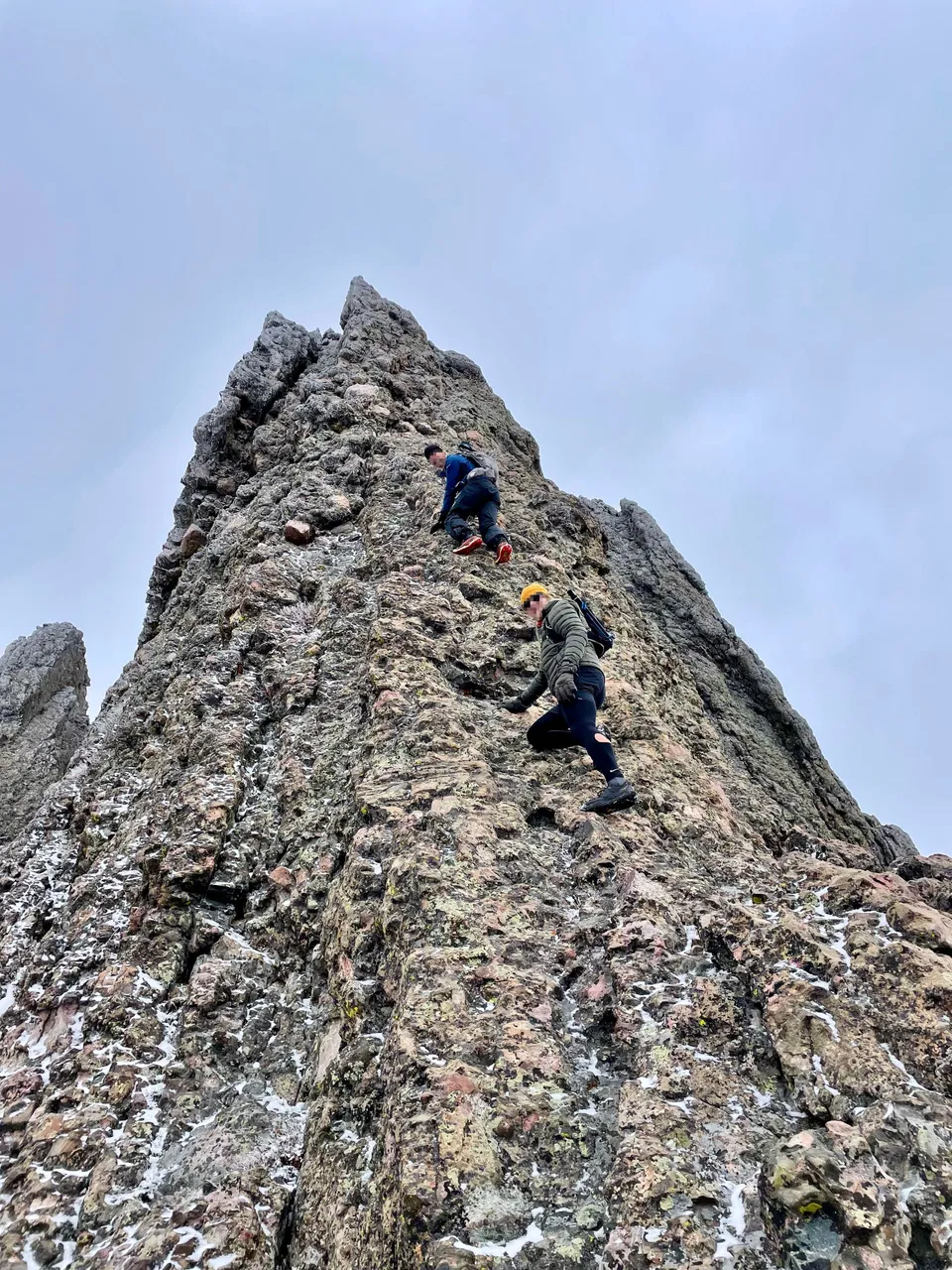
After descending Challenger and traversing above the cliffs I referred to in this post from 2018, we decided to climb the final pitch of the Kit Carson prow instead of taking the standard route, which shoots down and around KC's west face before hooking back up to the summit. In the photo below, my companions start picking their way up the prow. Yes, their faces are pixelated like that in real life, too.
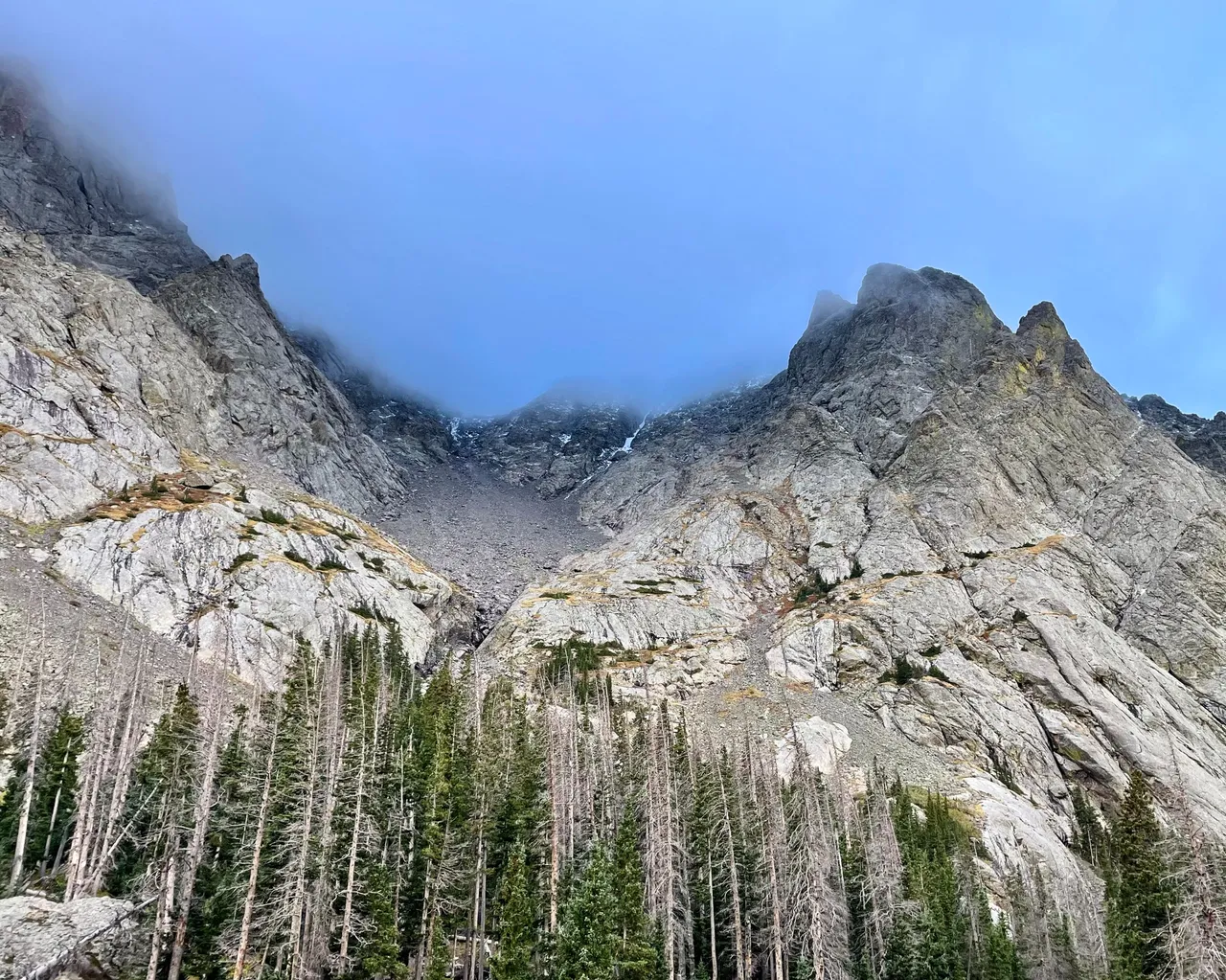
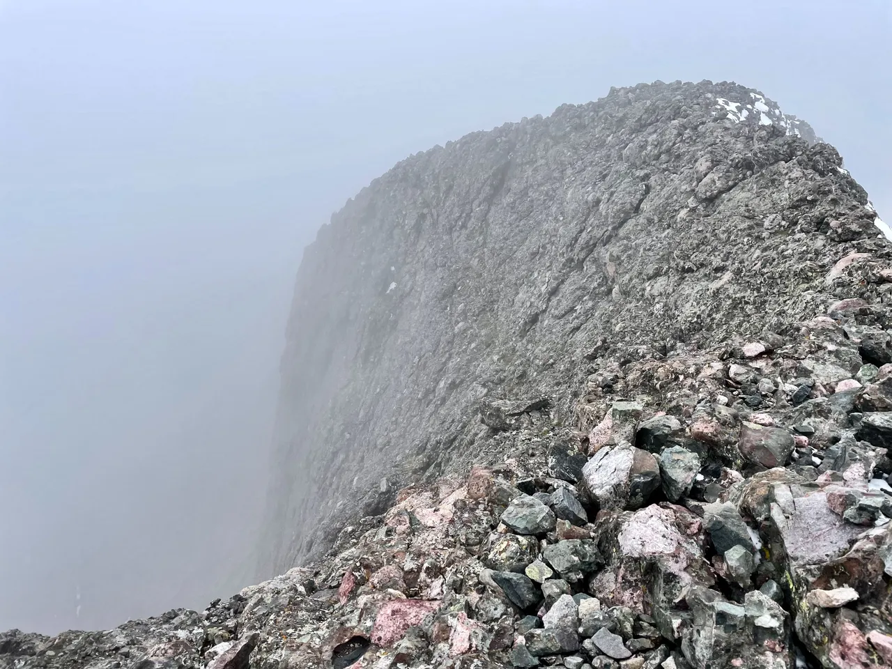
Socked in again. The prow we just came up descends into fog.
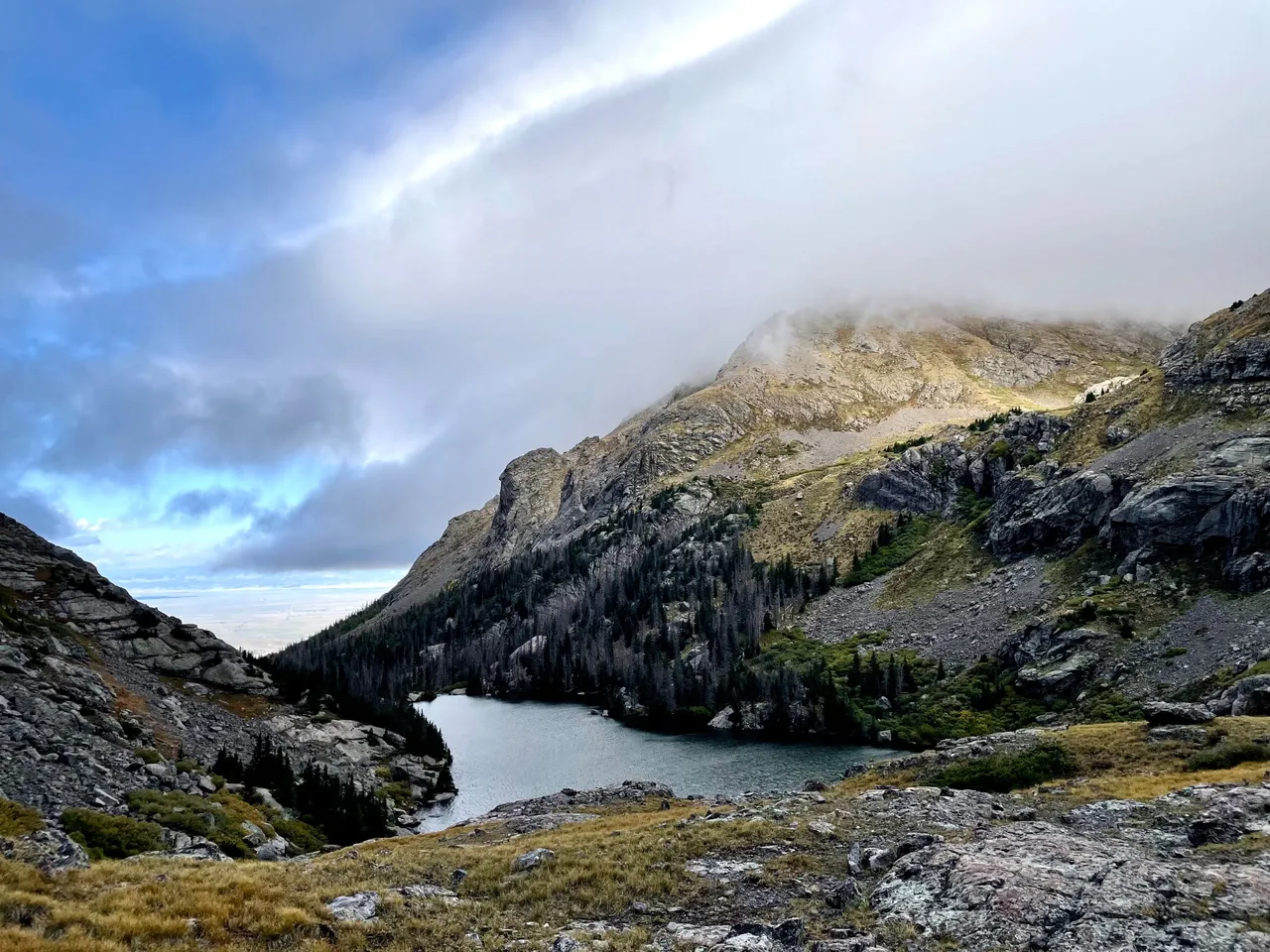
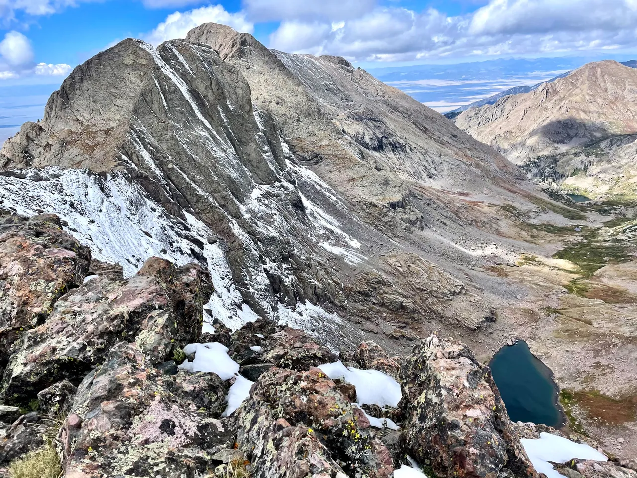
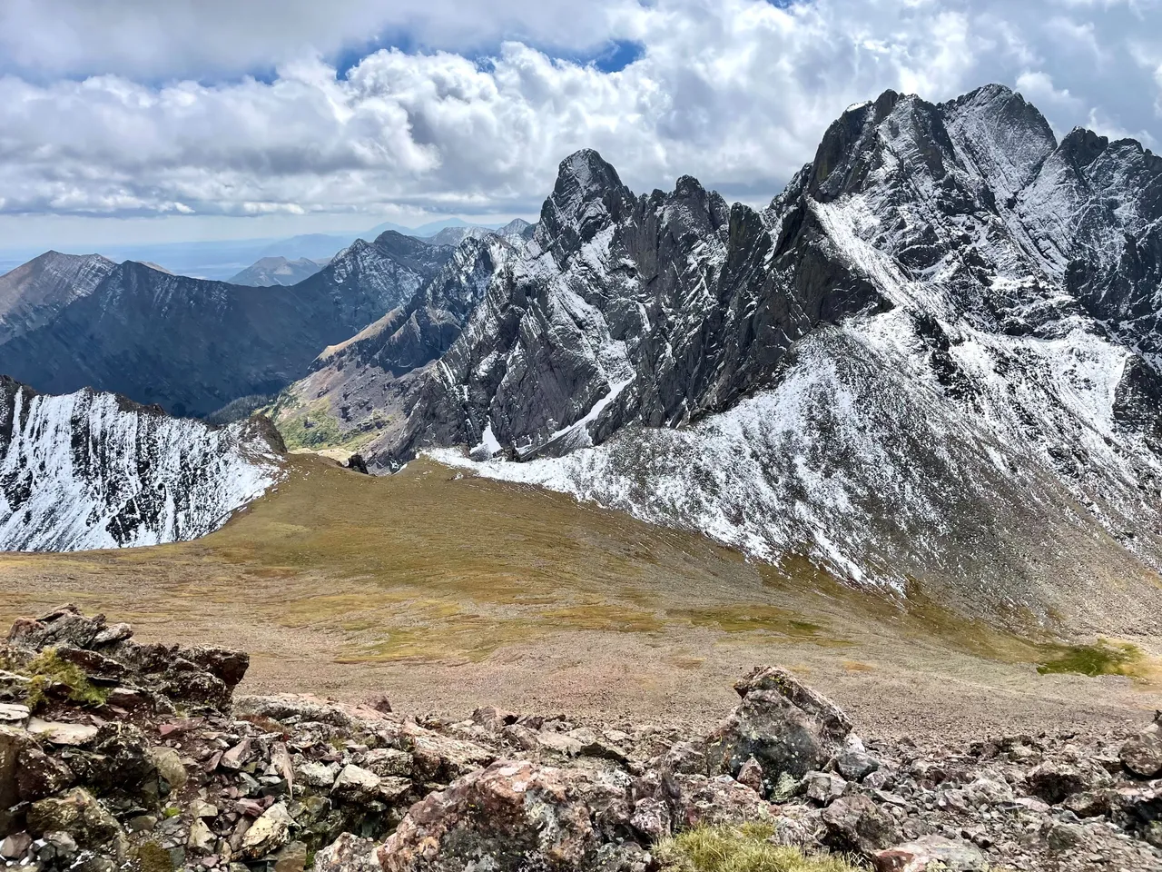
Looking back northish at Columbia and Kit Carson from the ridgeline to Obstruction. Challenger's summit is not visible from this angle; it's hiding behind KC, but you can see the slope we went up to access its ridge. Upper Willow Lake is directly below; if you squint, you can see regular Willow Lake down at the mouth of the basin.
And now here's looking southish at the Crestones from about the same place. Crestone Peak is the one with two humps on the right, and Crestone Needle (14,196 feet) is the pointy thing to the left.
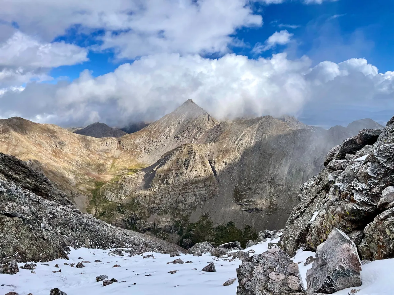
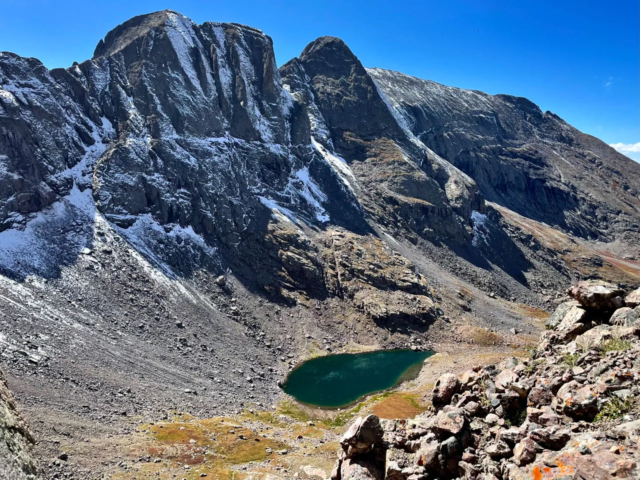
After a good deal of effort and some complicated routefinding, we've finally managed to gain the ridge that leads north from Obstruction to Mt. Adams. This is looking across the valley and Upper Willow Lake over at Columbia and KC.
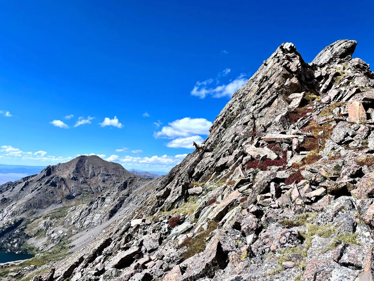
A solitary bighorn sheep stands alert to our presence on the ridgeline to Adams.
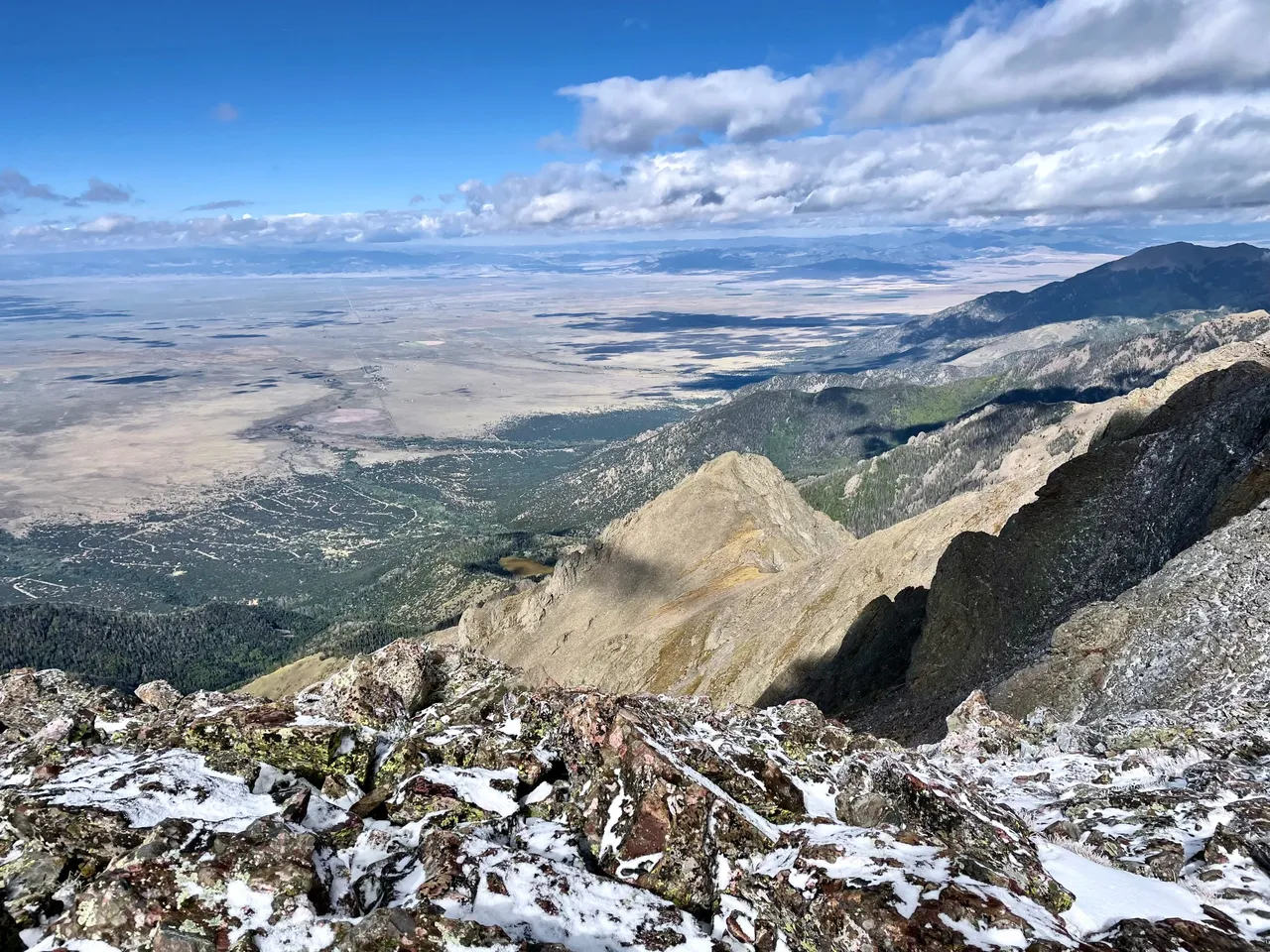
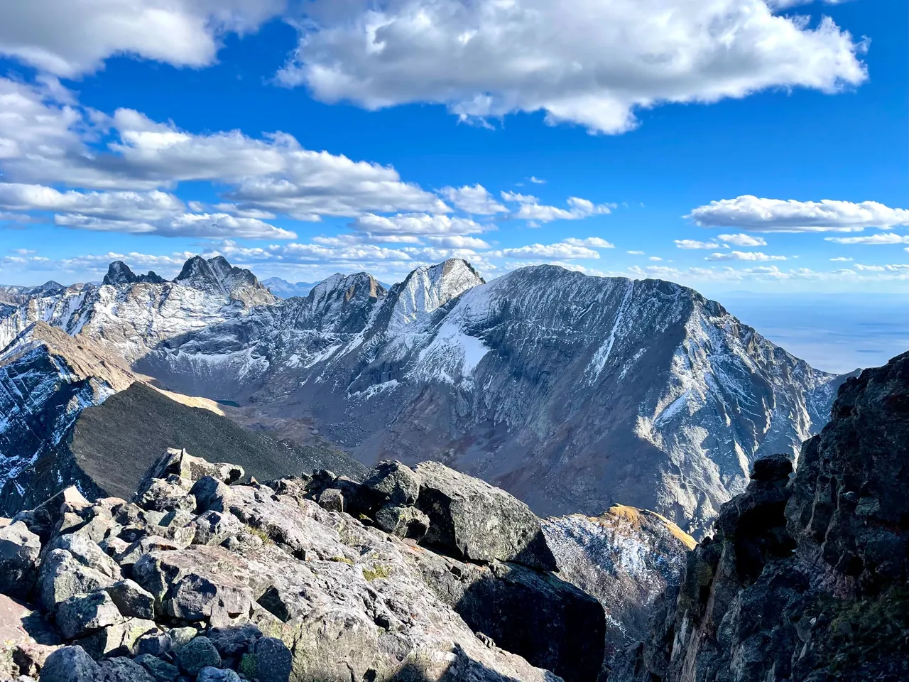
This is the view looking south from Mt. Adams, overlooking the majority of our route for the day. All told, it was about 14 hours trailhead to trailhead.
※ ※ ※ ※ ※ ※ ※ ※ ※ ※
I hope you liked the pictures.
Now it's time for the words.
Oh wait…
I don't have any words.
Dammit.
Sorry.
I got so distracted with the photos,
that I forgot about the words.
…
To be continued,
I guess?
※ ※ ※ ※ ※ ※ ※ ※ ※ ※
⛰ ❔
※ ※ ※ ※ ※ ※ ※ ※ ※ ※
11-20-23. Pictures and words. Pictures and words? Is this allowed?