Hello my friends, I hope you are always in good health. And be a successful person always.
Two days before we had the opportunity to survey the village's arable land. We have agreed and planned in a village apparatus deliberation meeting. To review there are several locations that must be visited, there are village arable land, village oil palm land, because this is a village asset that must be utilized as well as possible, so that in the future a village that has many assets will become a developed and independent village, and this will really helps the community in terms of the economy and others, and also the community can work to find their daily needs from one of the existing activities from the village, which originates from the statement of capital for the activity of the asset. and also we came to see the location of the badly damaged clean water pipe that was hit by a flood,


So, as shown in this picture.
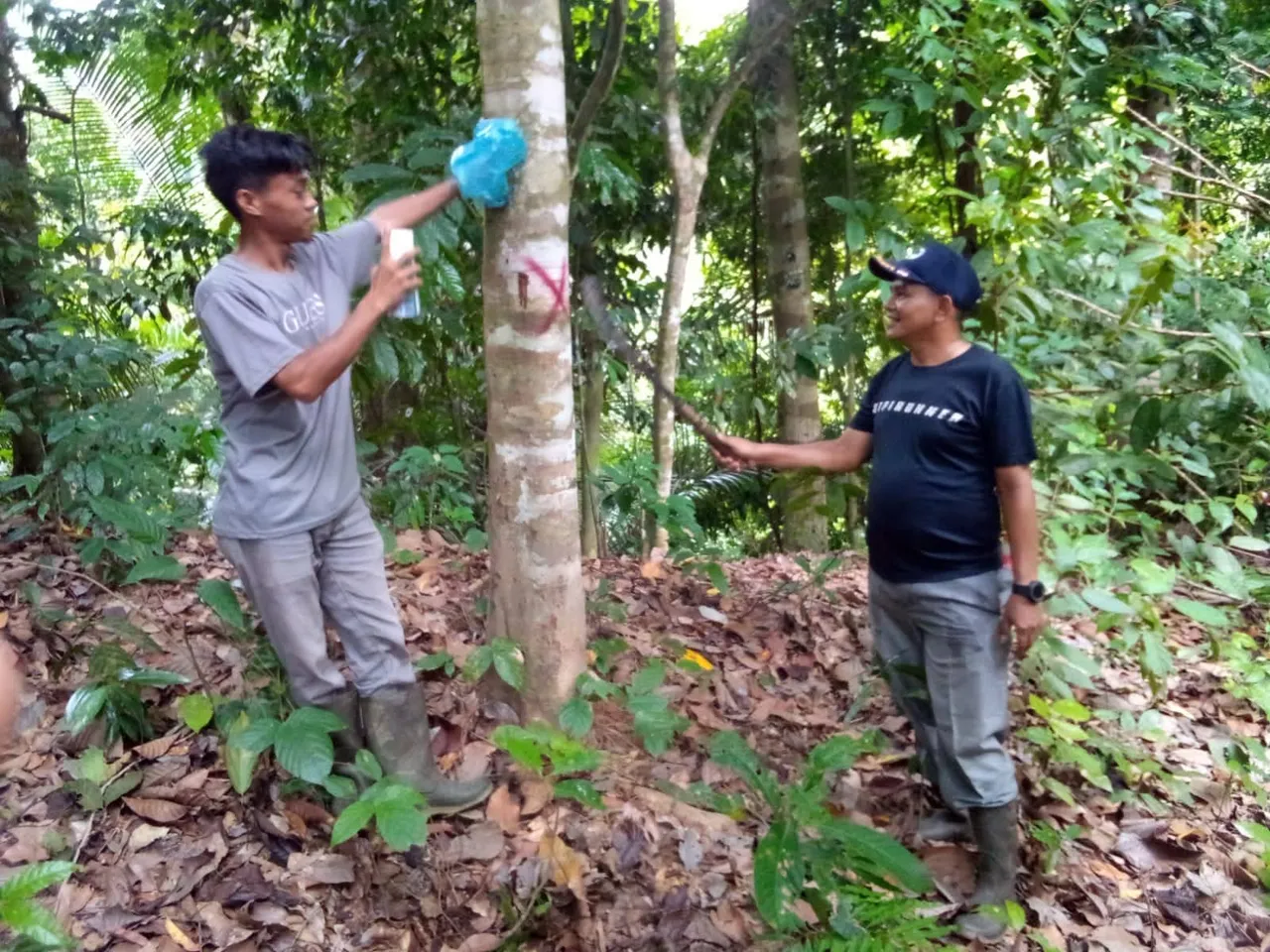
This is a collection of all village officials, we are together to go out into the field to see how much land belongs to the village that must be recorded in the village's best data book. It turned out that after we got to the location we measured it using GPS by taking the coordinates of every corner. And there are 7 corners that we have taken, then we shot the coordinates from one corner to another until we reached the 7th corner. There we can see how much land belongs to our village. It turns out that our village land is quite large with a size of 72 hectares


And That 72 acres it is very suitable for planting oil palm for the realization of an independent village and a society free from poverty in the future, by having an easier life in daily sufficiency which is governed by the many village assets that have been developed in the village for the future.


This 72 hectares of land is quite large for us. As seen in this picture, and we also invite the soldier who served as Babinsa in our village, and while he was serving in our village, he has the right to know everything related to the status of the village, whether in a dispute or not. We also showed all of our Village land to the TNI, who stated that this land is really public land owned by the Village, not privately owned by the Village community.


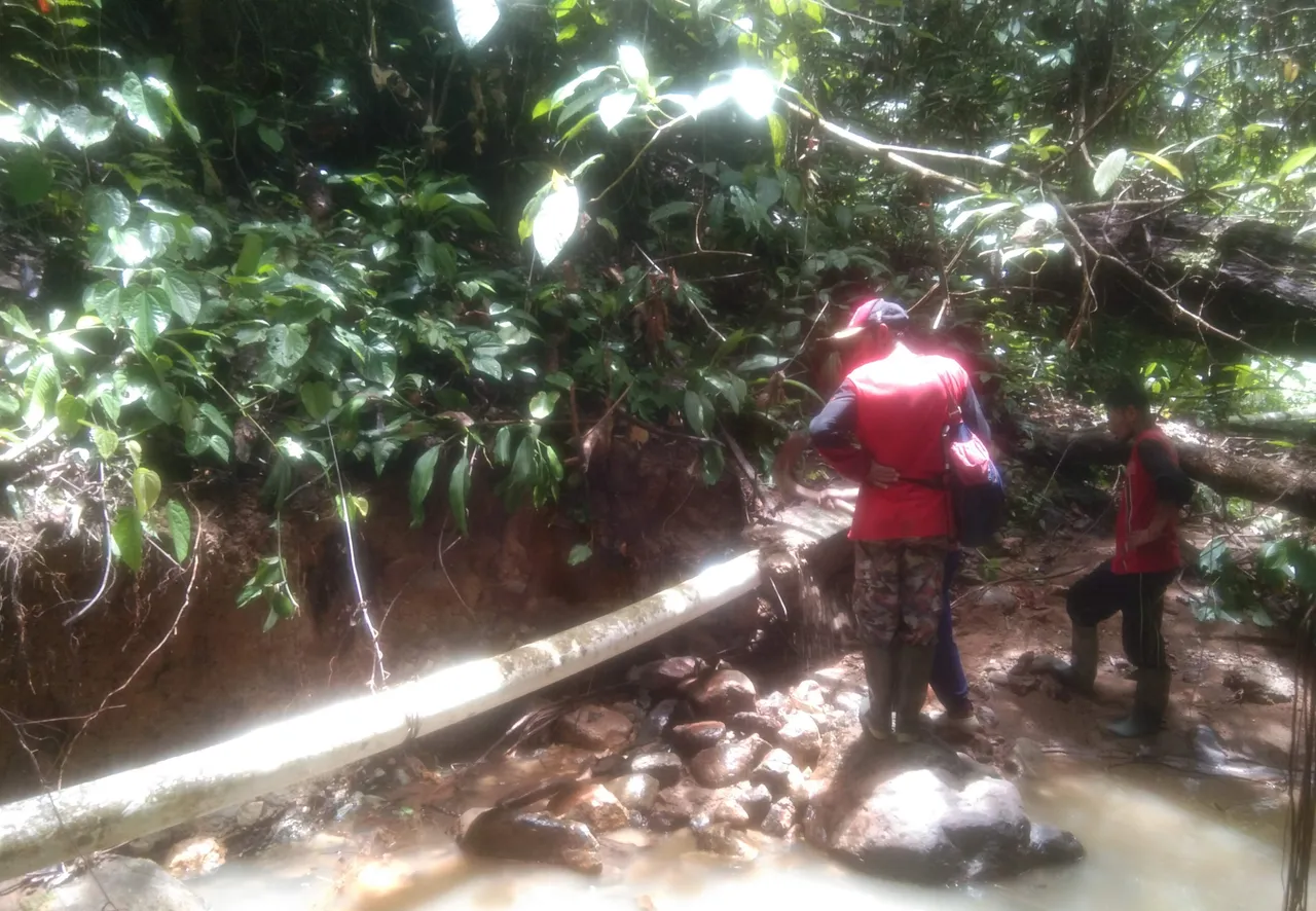
After completing the village land survey, and we also finished eating and drinking, Then we all moved again to the badly damaged pipes that were hit by a big flood, and hit the pipes so that the pipes were cut off, so that all the people could no longer have clean water either. for drinking, washing or bathing and so on, it is very overwhelming for the community, in helping our community to connect broken pipes so that the water can flow back into the pipes, and it will be reused by our community. My friends and I will always do the best for our Community. So that we and the community will live in a safe and peaceful condition.


All the pictures were taken by my friend who came for the survey with me, using his cellphone...
That's all and thank you, see you next time.
Greetings from @ajirdeal