Formed from dissolution of rocks such as limestone, karst topography provides a gift in the form of cavities or underground drainage systems that can be used by some organisms as a place to live, maybe even be inhabited by humans, but what is clear, can be used by people for caving.
While in it, we can feel, or even, as if being shown to us, a process that lasts for millions of years (Speleogenesis), in which, in general, the weathering seems to play a major role in this incredibly long process. There, I felt like I could feel the body of time, and how amazing it was!
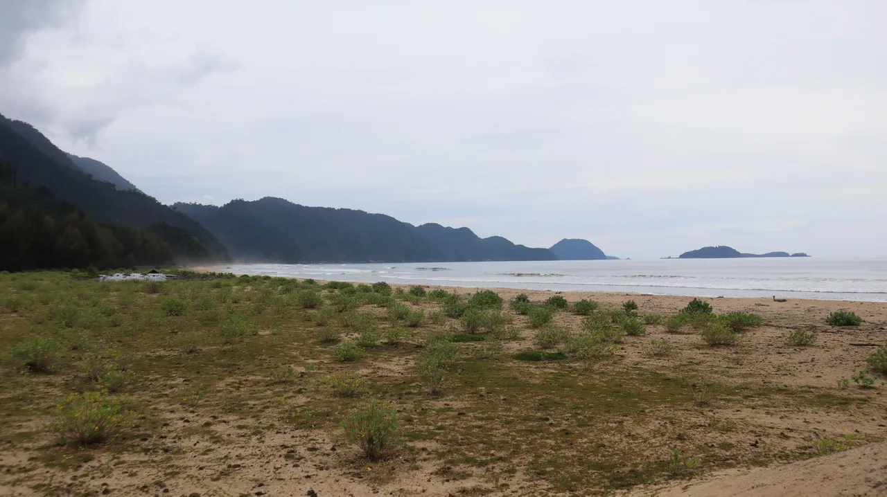
The cave we visited was a Solutional cave or karst cave located on the northwest coast of Aceh. Traveling by car from Banda Aceh, the capital of Aceh, to this location takes about an hour or so. The 2004 tsunami that eroded the coastal land here made the cave even closer to the sea, it was only tens of meters from the sea.
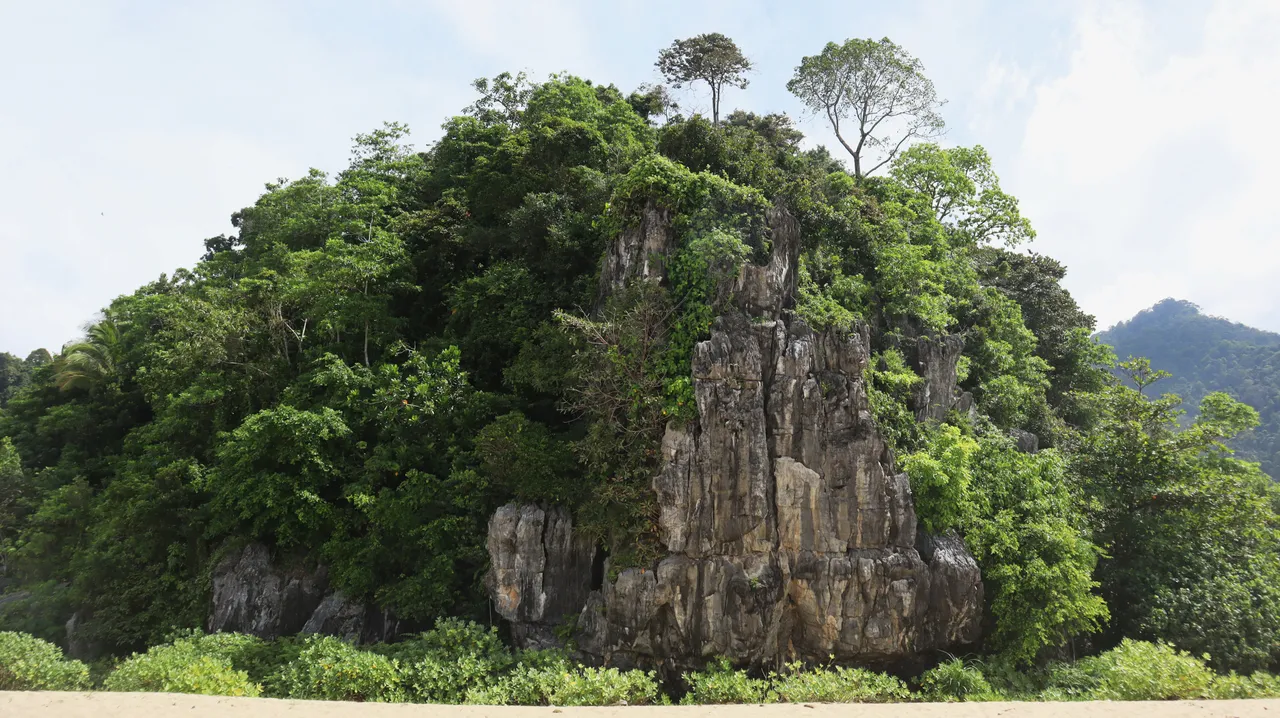
From which direction we arrived at the location, the karst landscape began to look real because the greenness of the forest could no longer cover our view of the limestone cliffs that rose there.
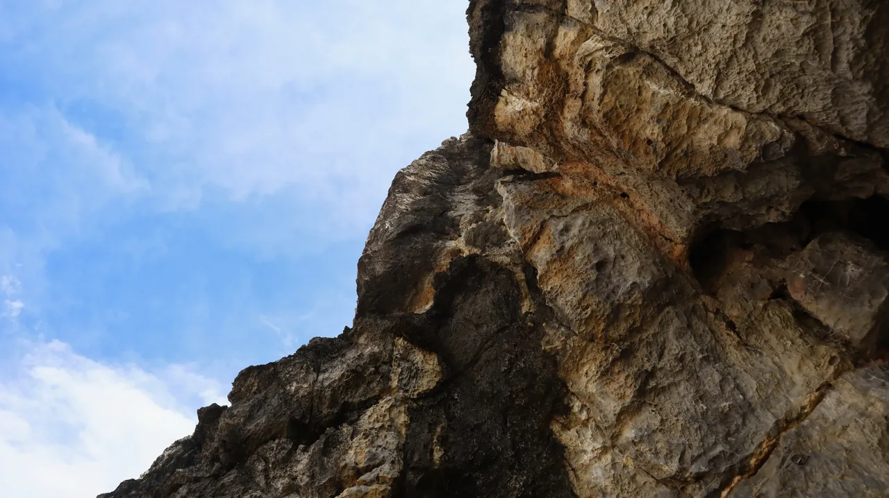
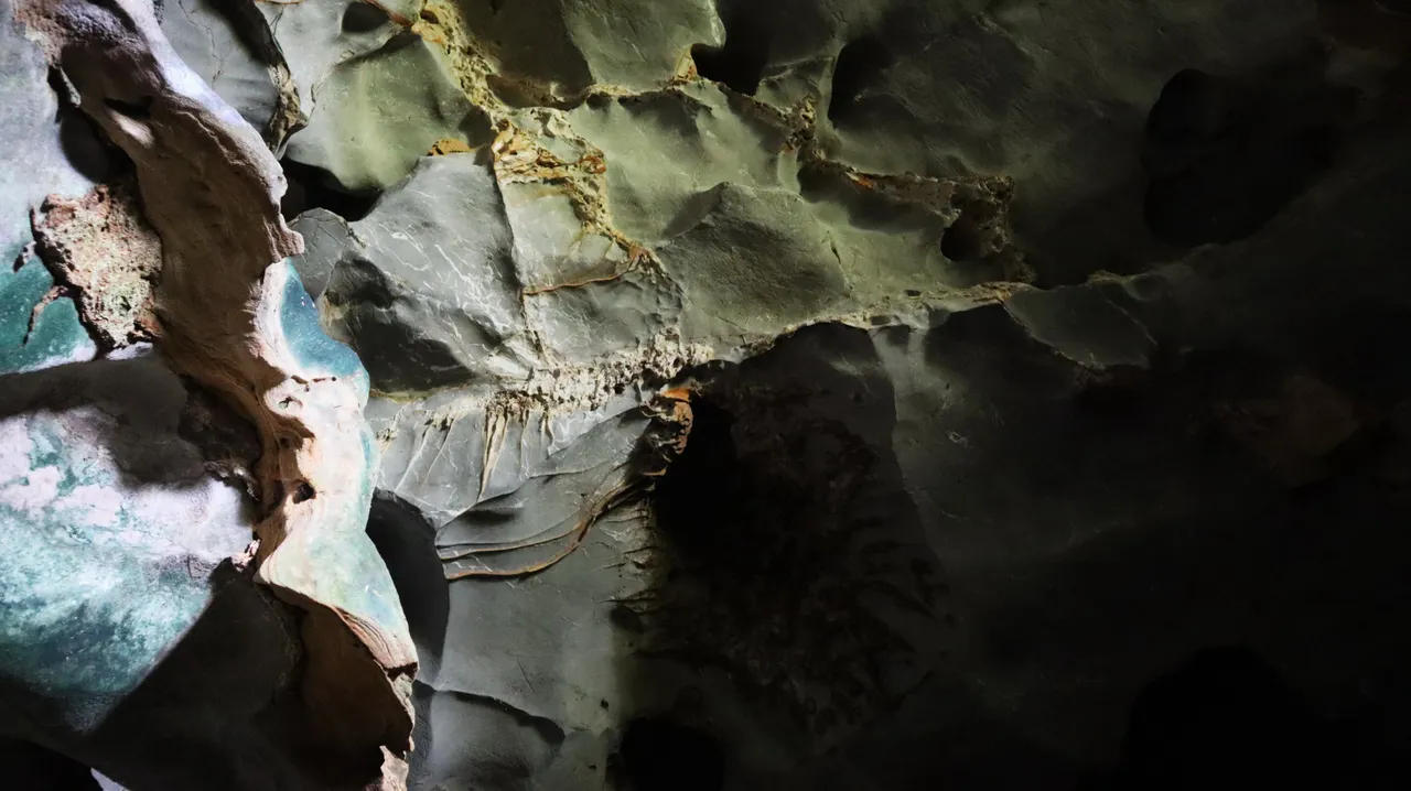
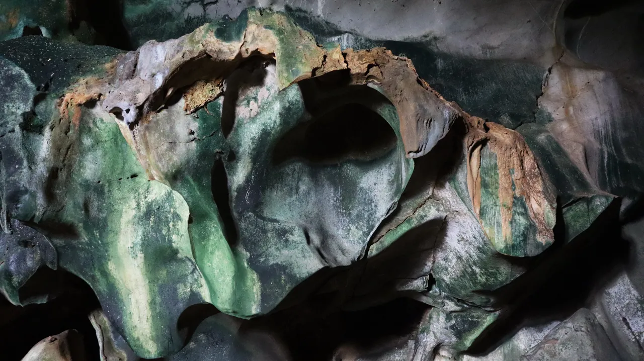
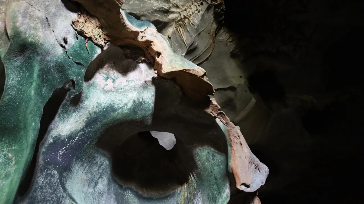
The limestone.
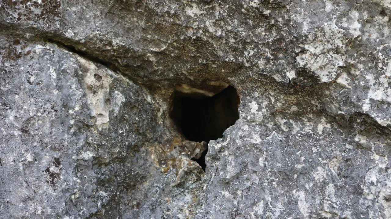
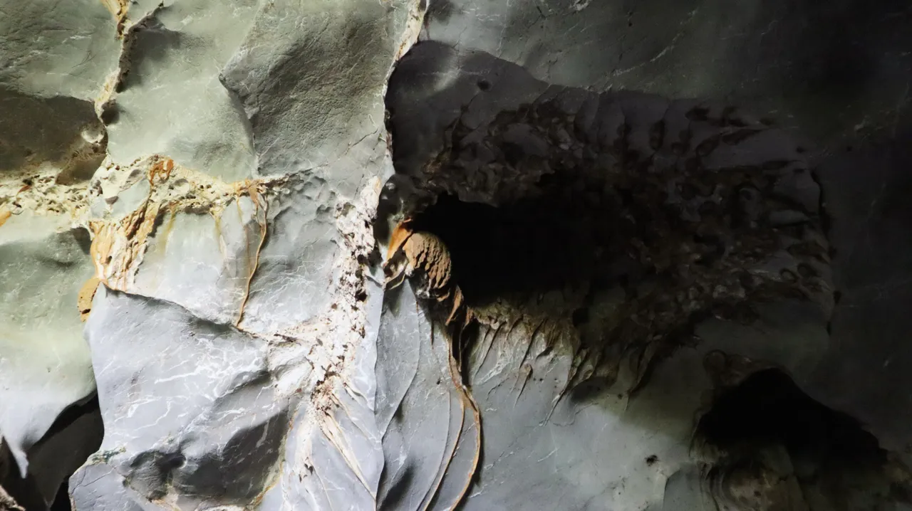
A small hole in the limestone cliff wall.
Since we were in the north, we had to turn the limestone hill to the south where the karst cave was.
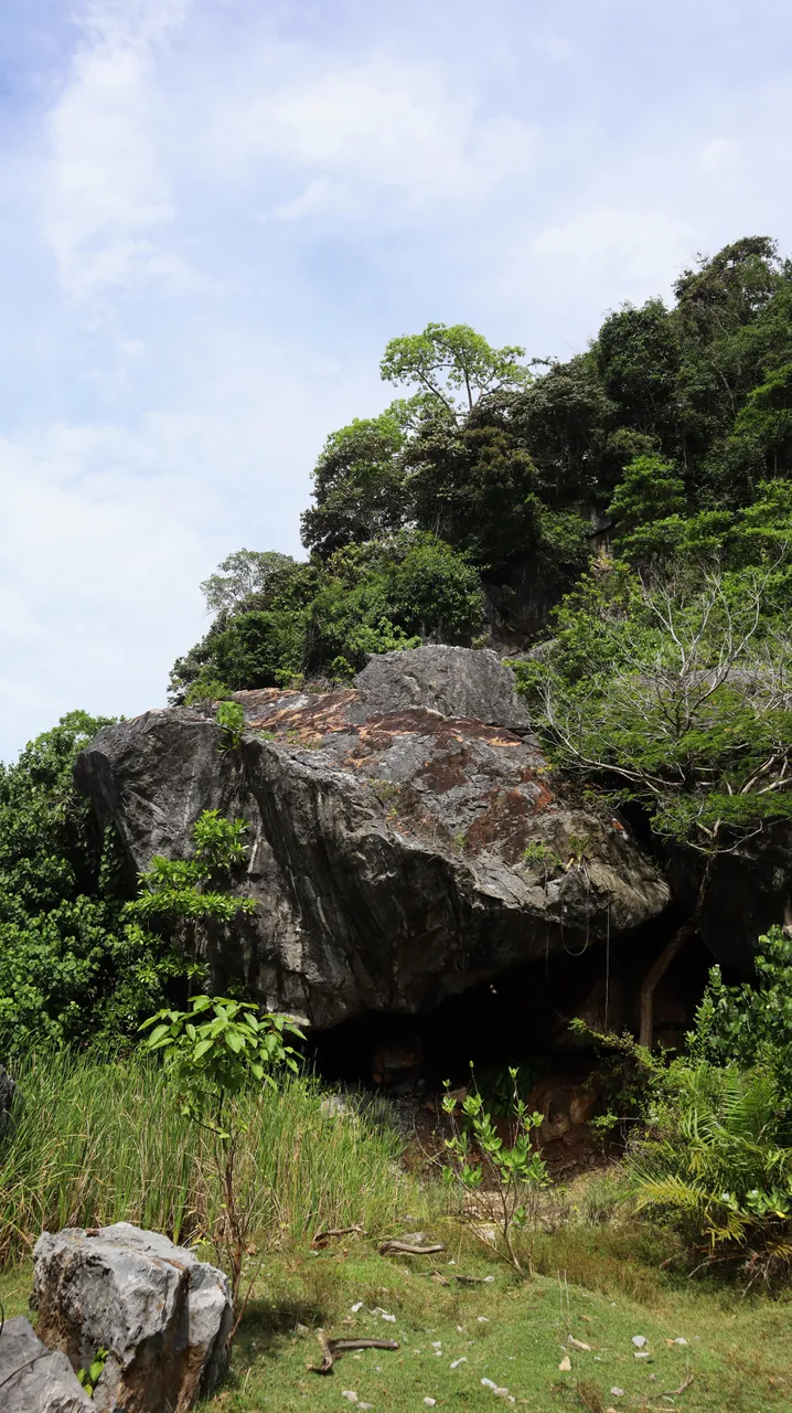
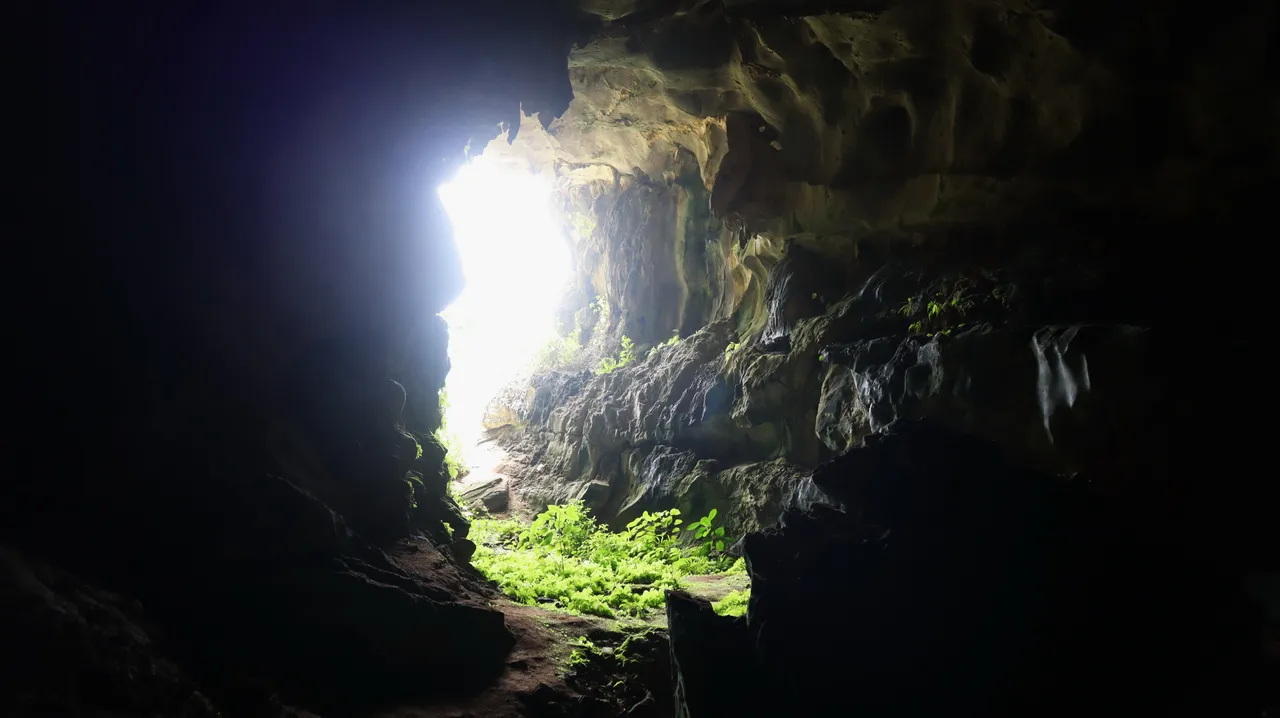
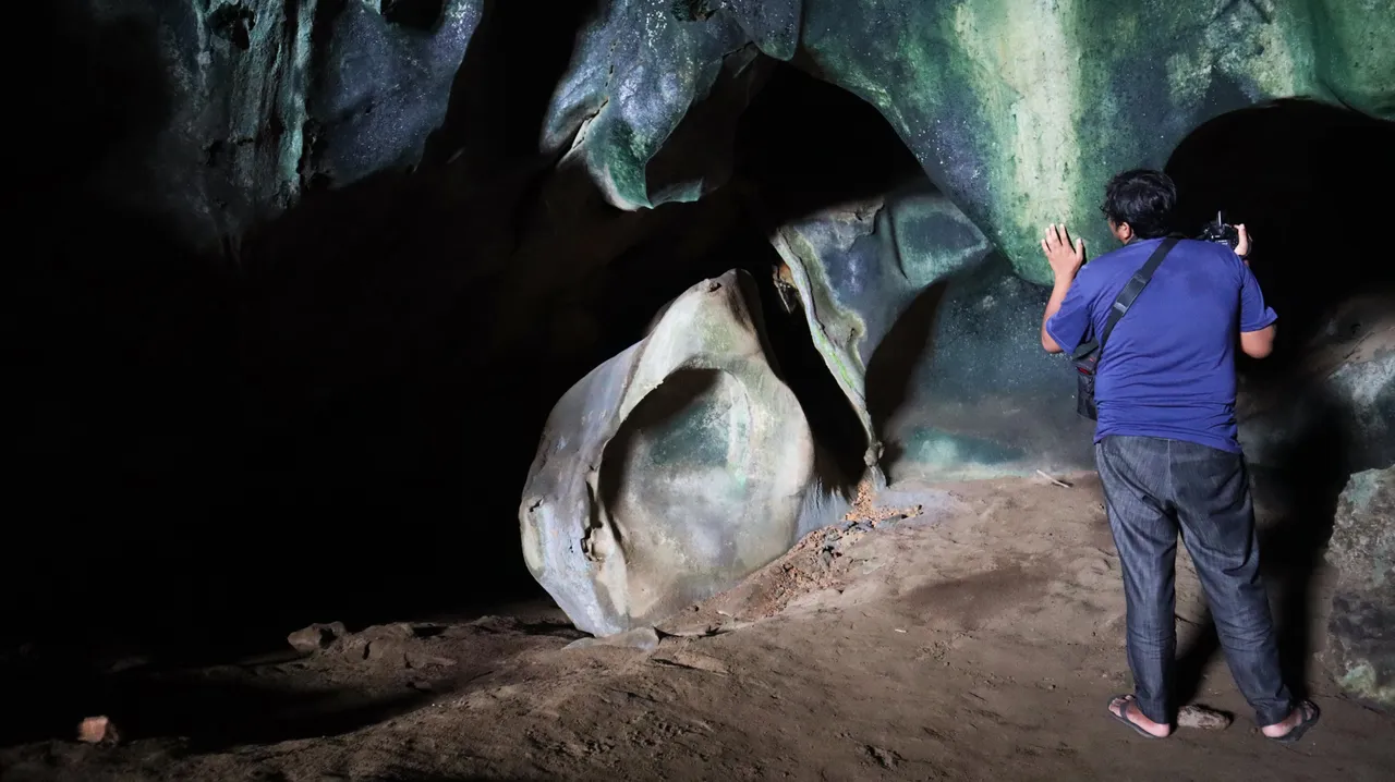
Then we arrived at the cave entrance.
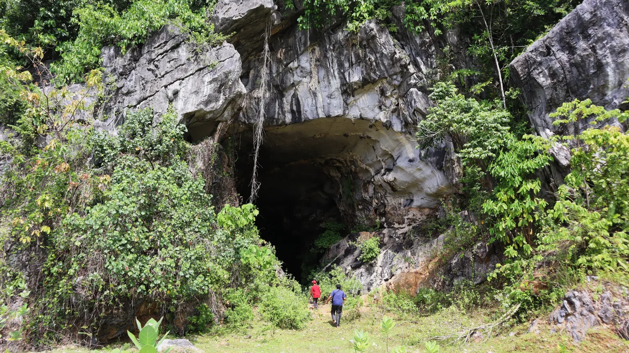
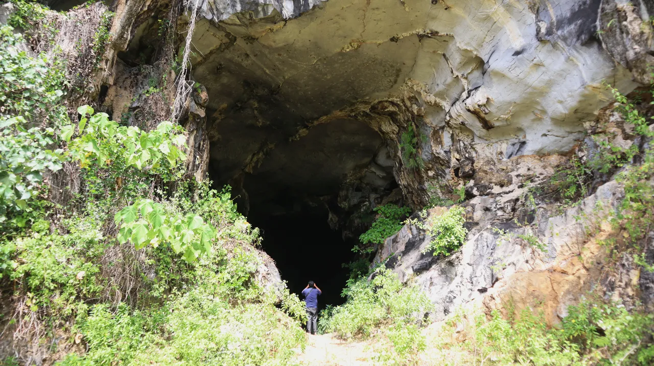
A giant gaping mouth hole on the hillside!
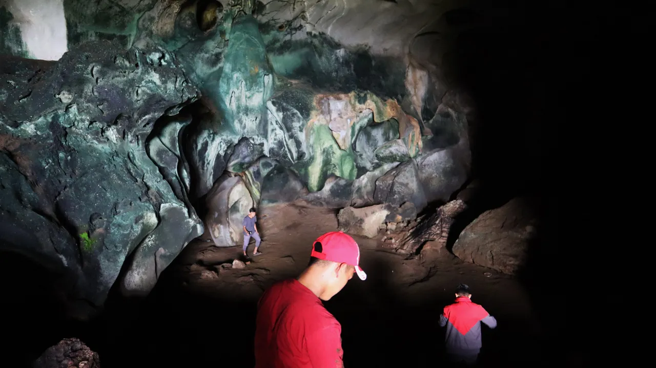
This cave was later known as Guha Lunti which means bat cave (so remember the superhero Batman, right?) 😁. That's because in the cave there were indeed bats that inhabit there (we saw them in the cave ceiling which was quite high flying because they were disturbed by our voices).

Bats came out and flew from there.
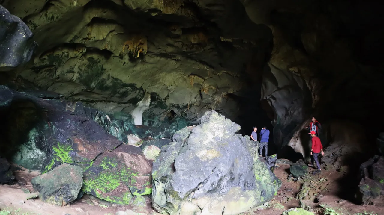
Several years ago, a research team conducted research on ancient tsunamis, and carried out excavations on the floor of this cave to find soil layers from the ancient tsunami. It is said that they found soil samples that could prove the ancient tsunami had occurred in this area.

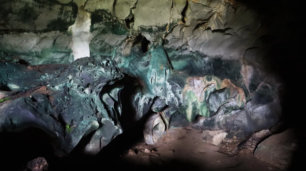
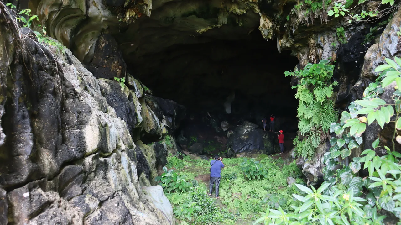
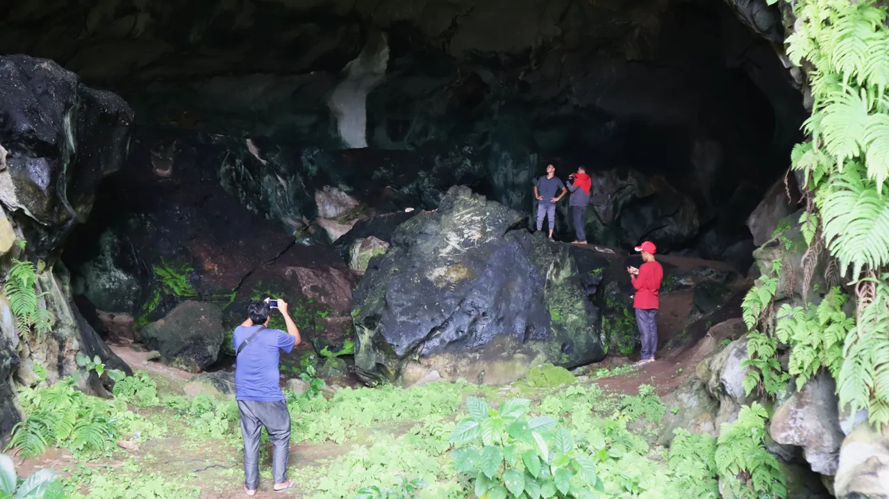
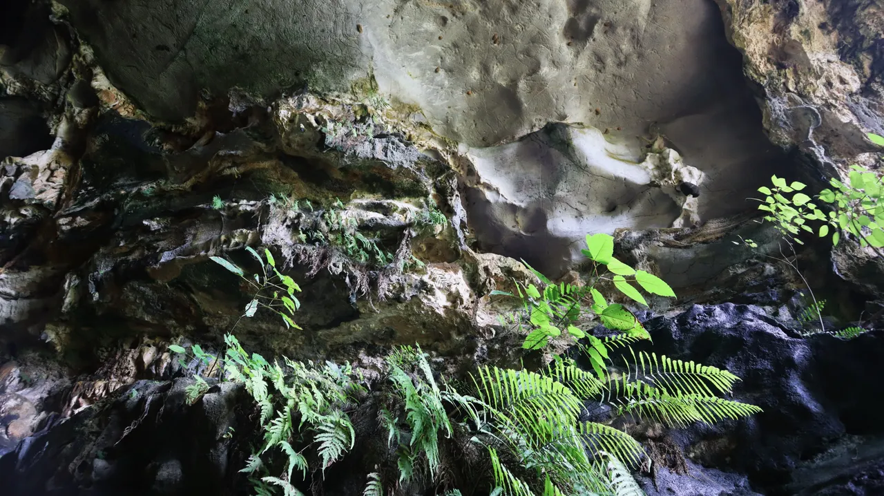
We could only observe the first hall which was still in the sunlight, while the longer hall to the right was very dark because it could not be penetrated by sunlight, and the stuffy and humid smell got even more pungent. Because we couldn't stand the stuffy air there, after about a dozen minutes observing the cave hall, we went out.
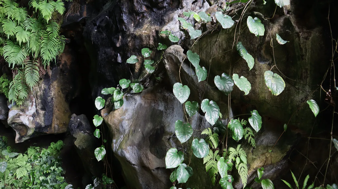
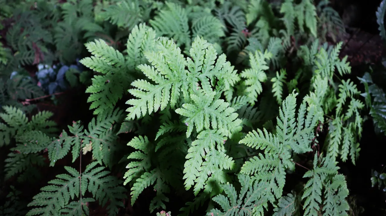
Some of the types of plants found at cave entrances, especially, and generally, are ferns.
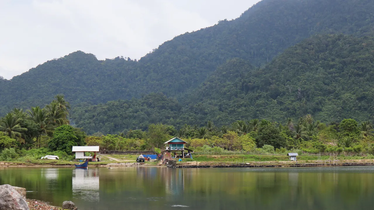
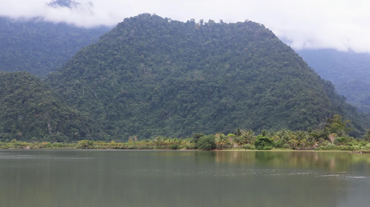
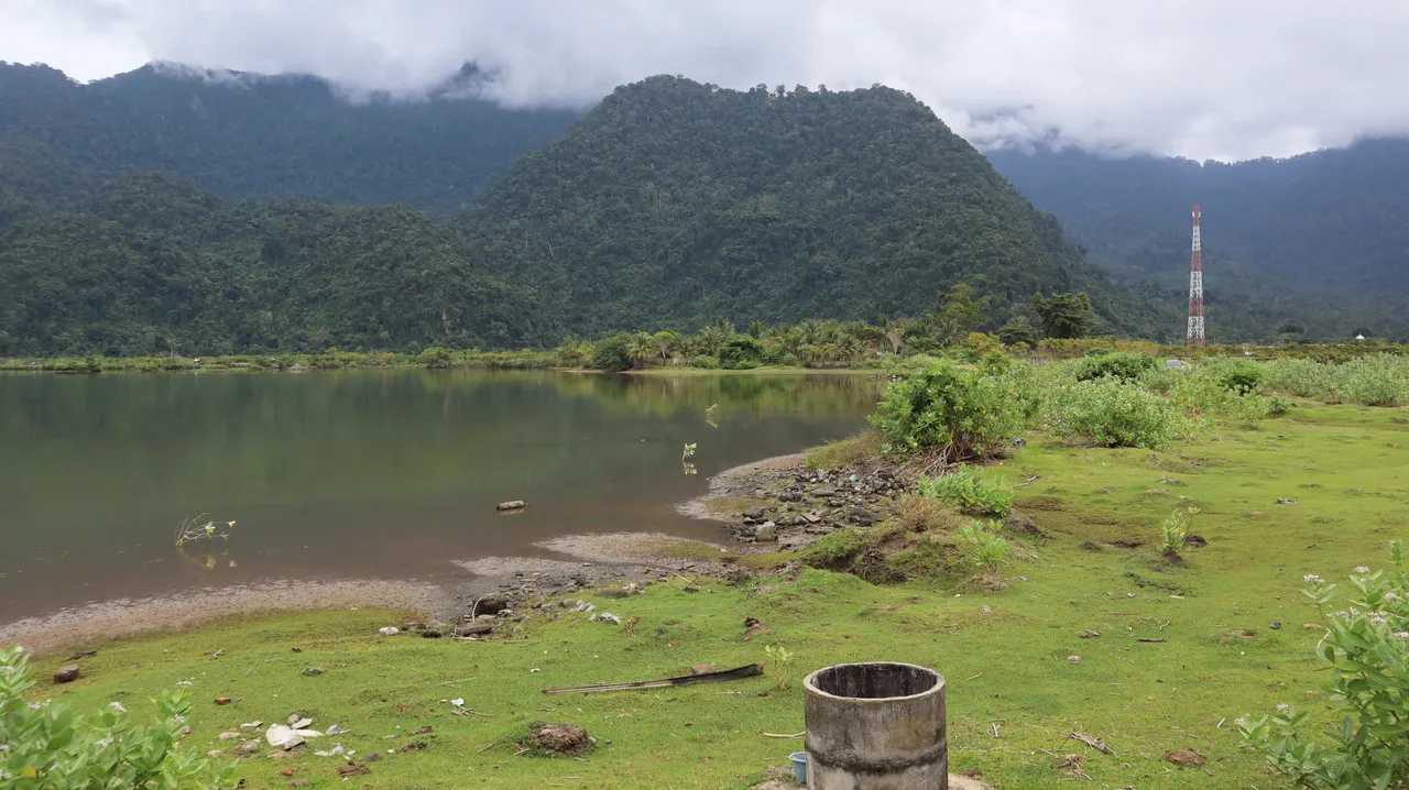
Our caving ends there, but it looks like it's incomplete if I don't show you some views of the area around the location we visited, even though the weather there after we got out of the cave was a little dim.
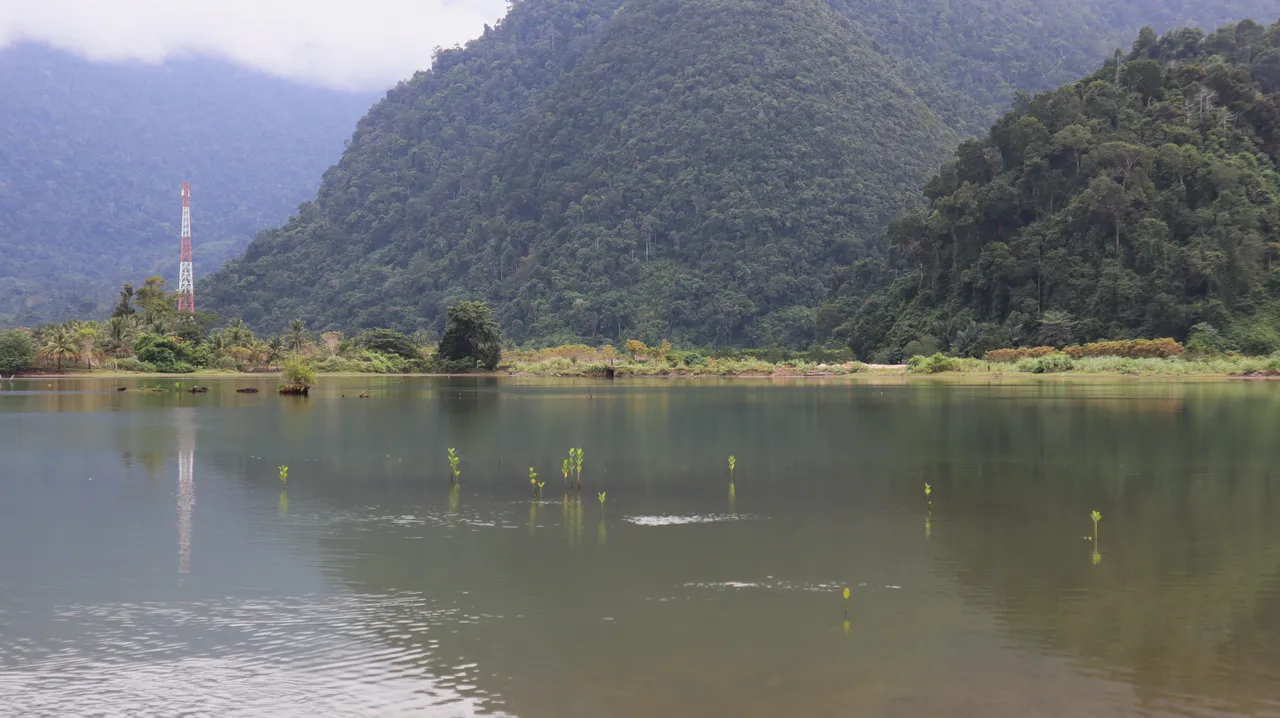
This is a green mountainous area with a coastal land which is now less extensive after the 2004 tsunami. This area is known as the Lhoong district, northwest of Aceh. Actually, there are several more caves in this district, as well as groundwater sources, all of which I think are gifts of karst topography.
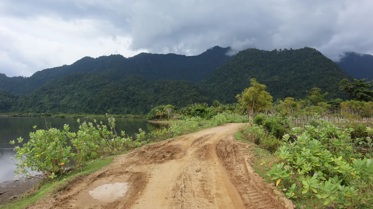
The road to the cave location.
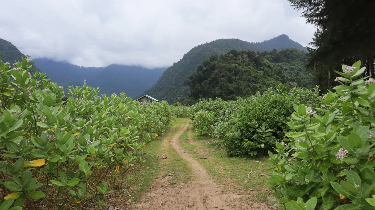
Footpaths.
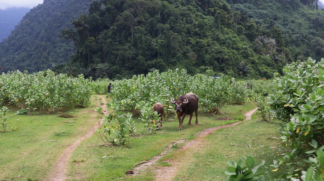
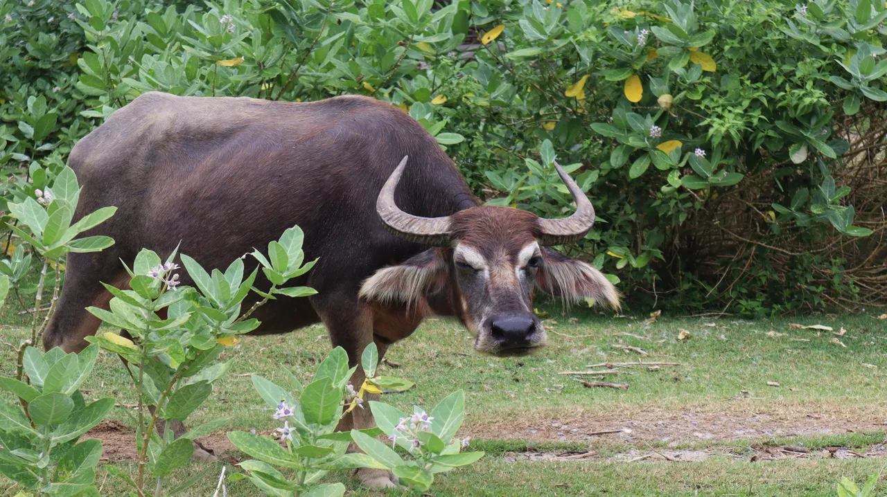
Water buffalo with long hair on both ears. It is not blinking. 😉
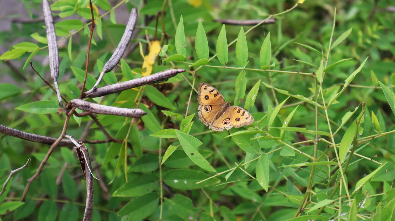
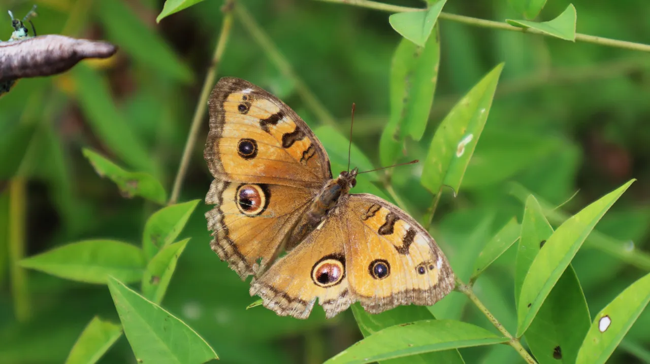
And at the end, a beautiful butterfly from there.