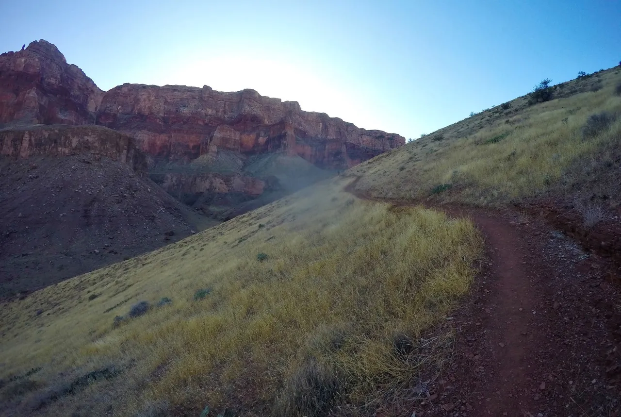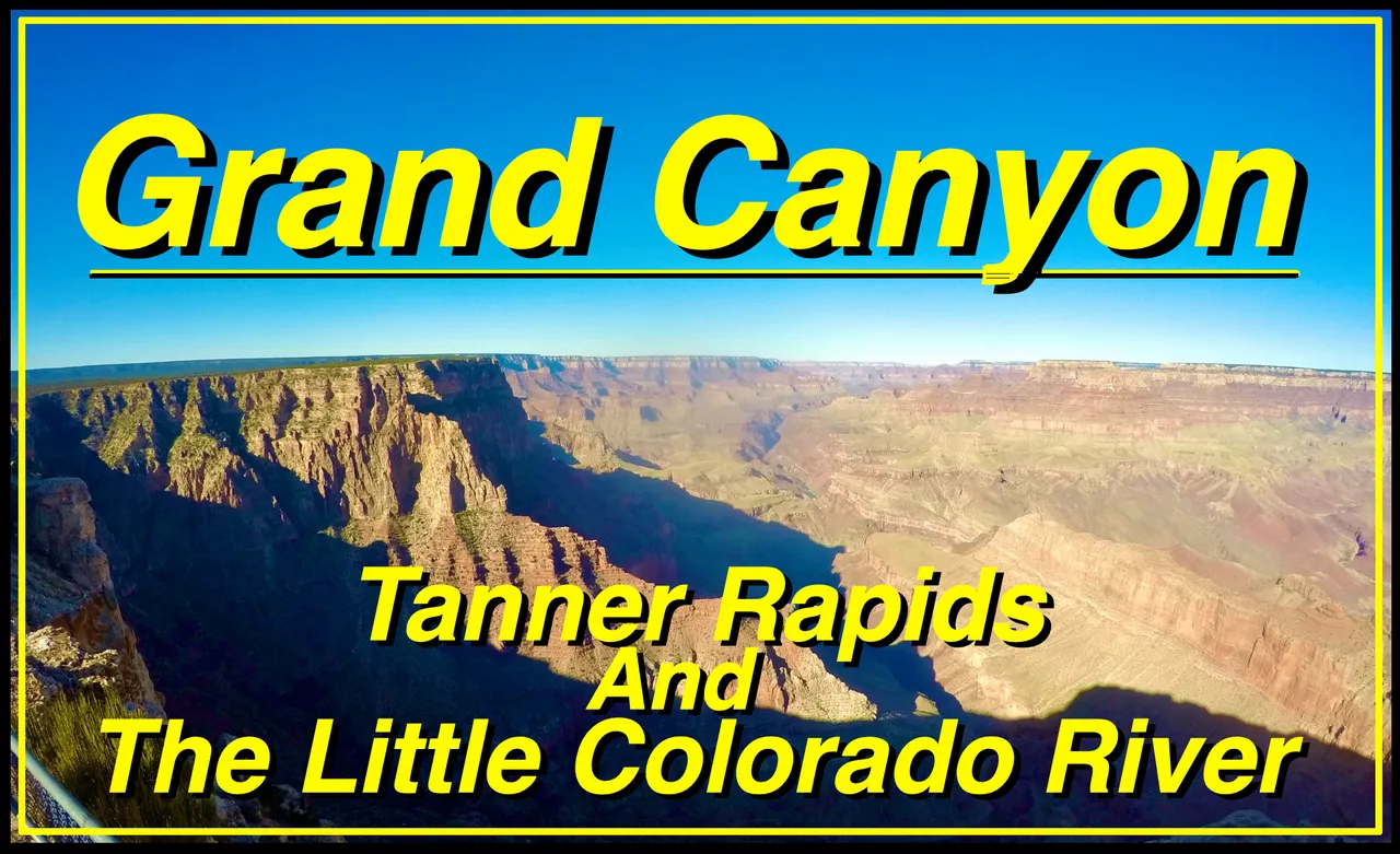

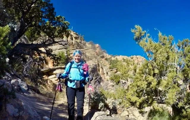
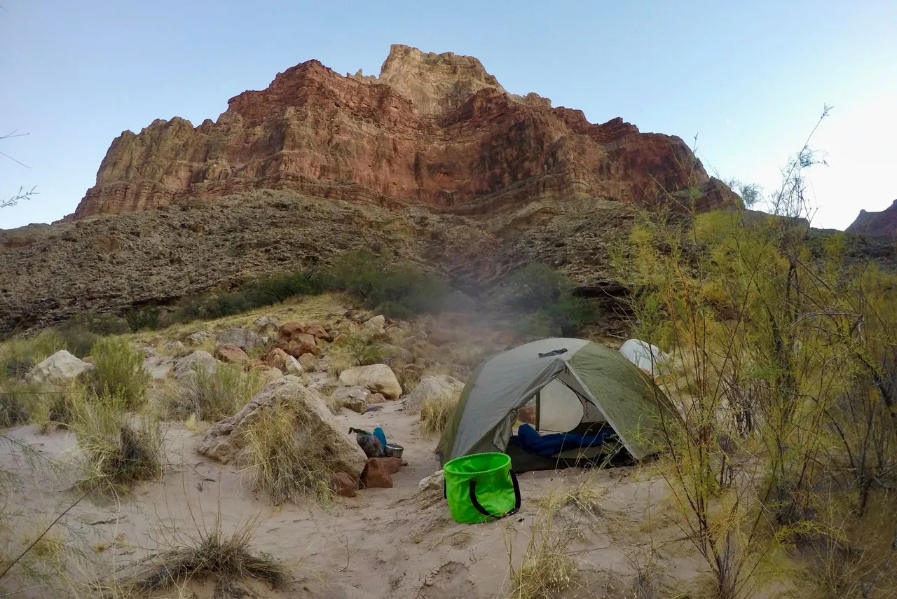
I drove out to Arizona and met up with my mom for a few hikes in the Grand Canyon. For the first hike we planned a four day trip down to Tanner rapids and the Little Colorado river. We got to the trailhead on the South Rim early, took a couple pictures, and then started making our way down the Tanner trail. The trail descended quickly into the vast labyrinth that is the Grand canyon. Then it opened up and leveled out as we worked our way around Escalante Butte and Cardenas Butte. We got some awesome views looking up at the Desert View Watchtower as well as down to the Colorado River. We took a little lunch break and enjoyed the views. Then we began descending steeply again down into Tanner canyon eventually getting to the bottom where it met the Colorado river at Tanner rapids. We met up with my moms friends Rob and Nelson and we all found a nice spot to setup camp among the Mesquite and Tamarisk trees there right by the top of the rapids and enjoyed our first beautiful evening in the Canyon.
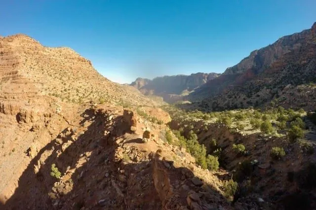
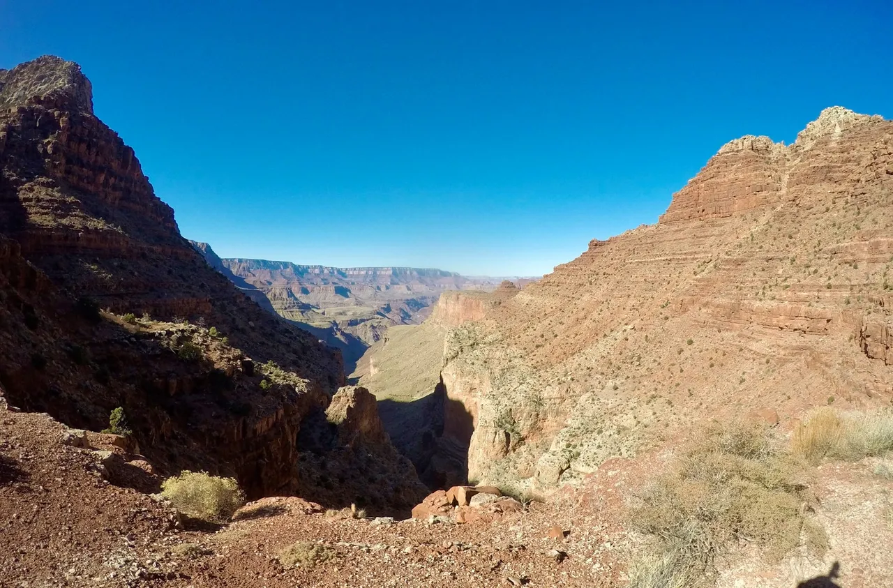
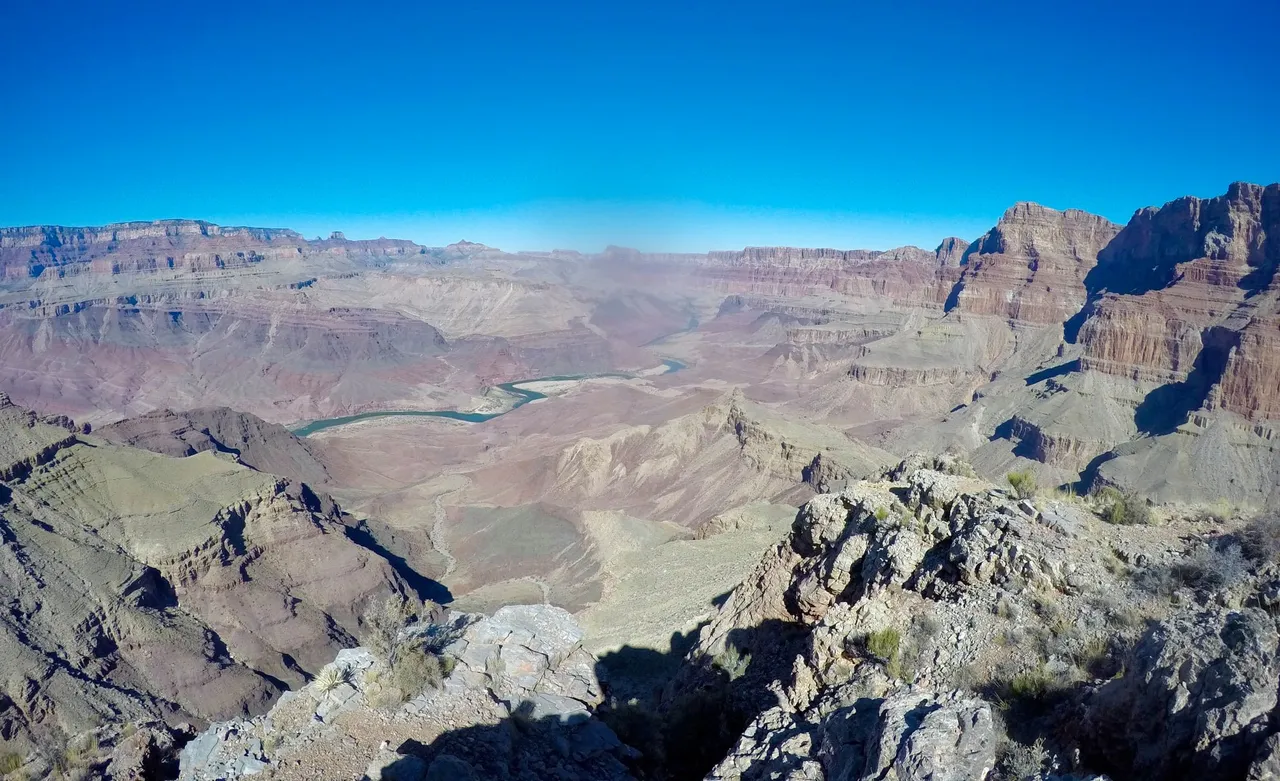
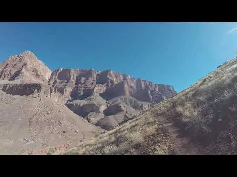
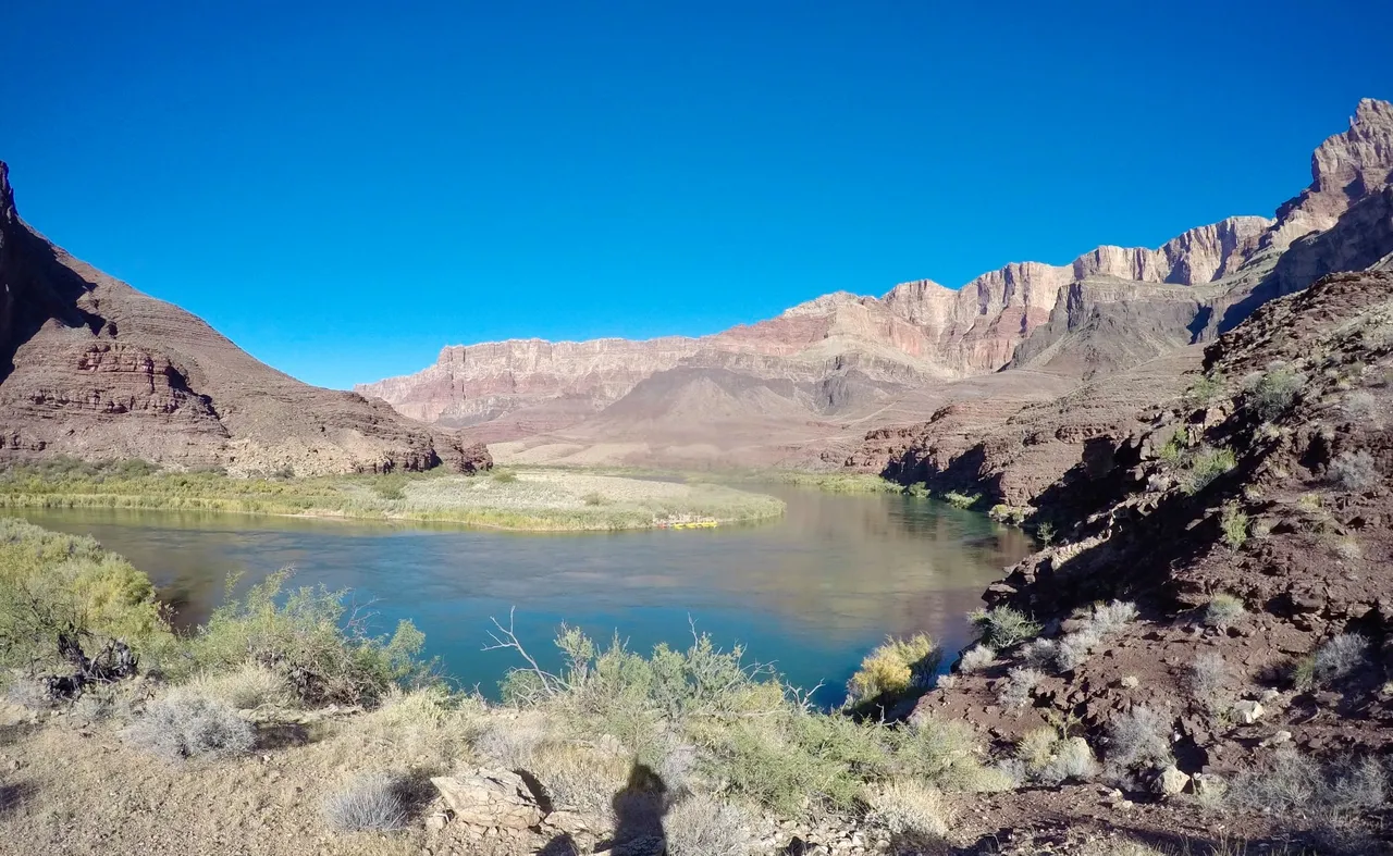
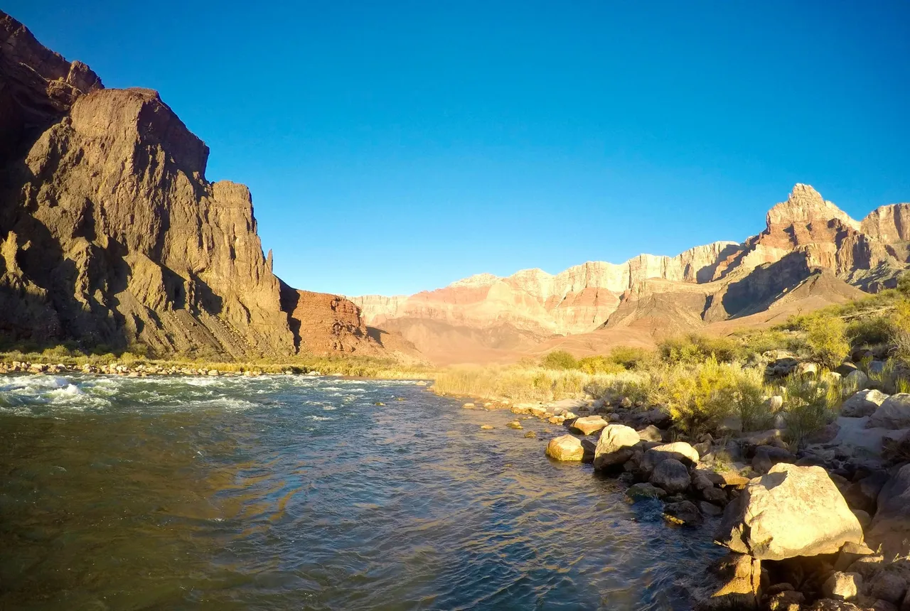
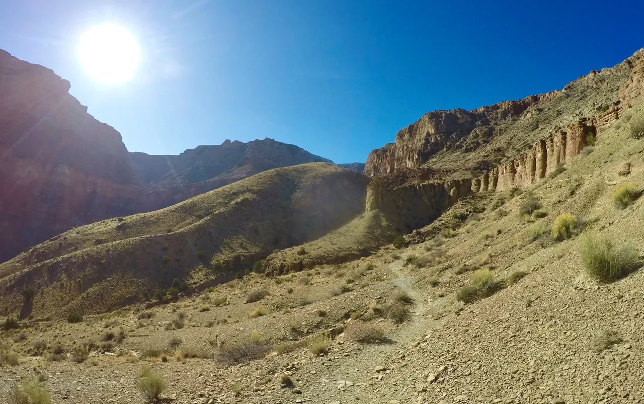
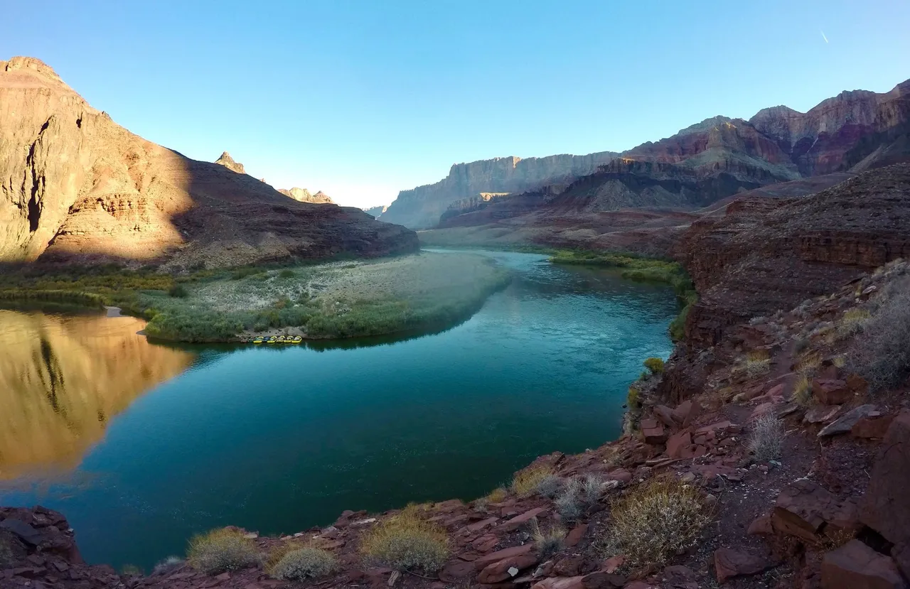
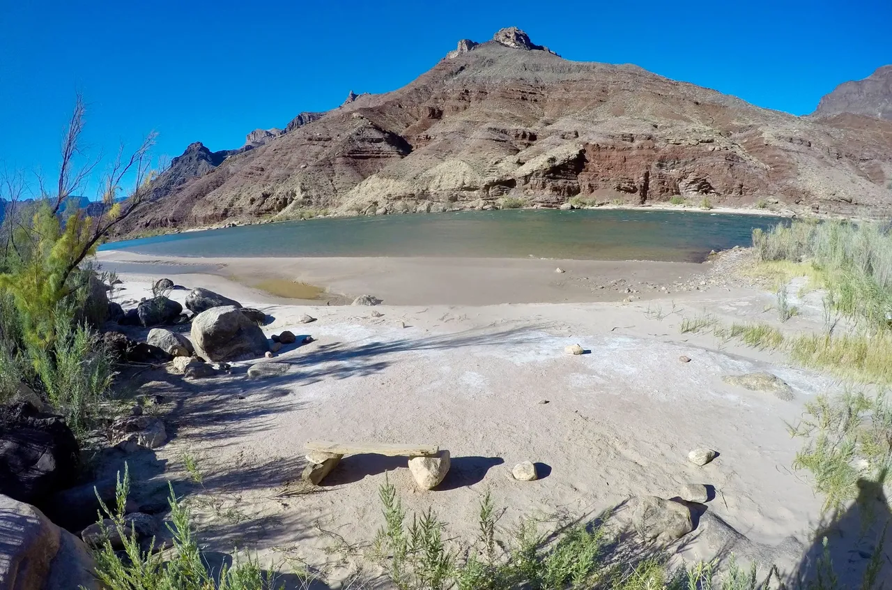
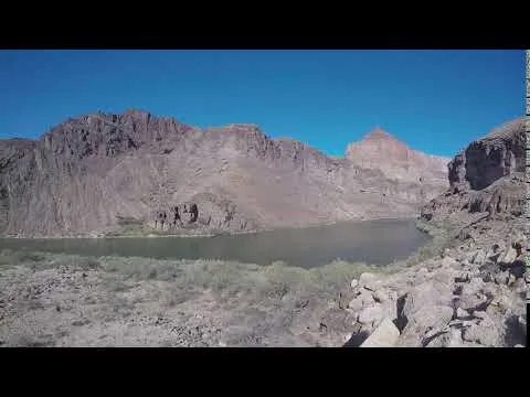
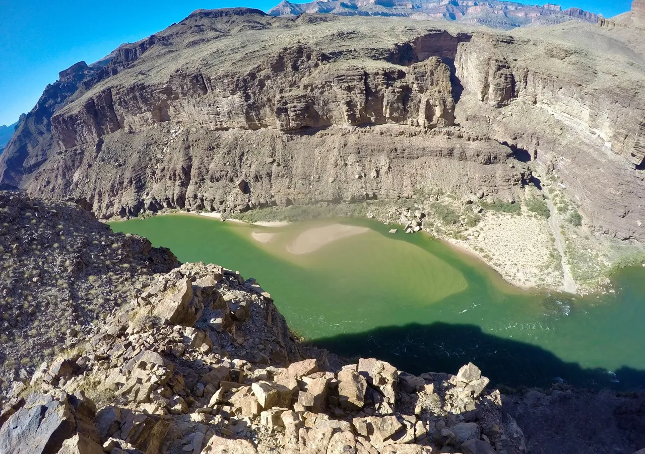
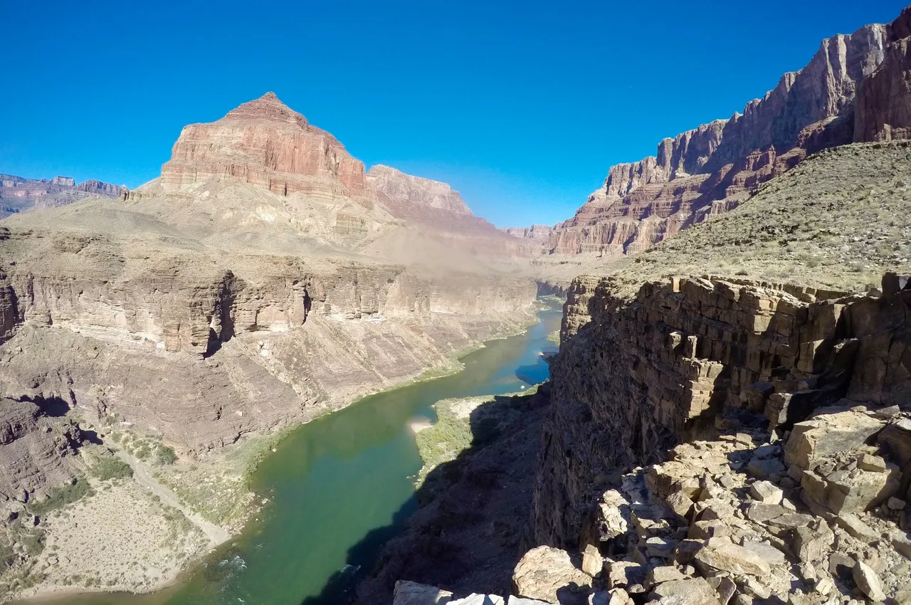
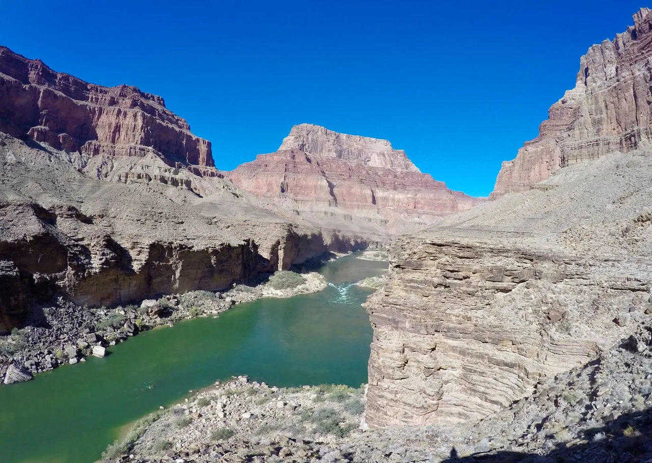
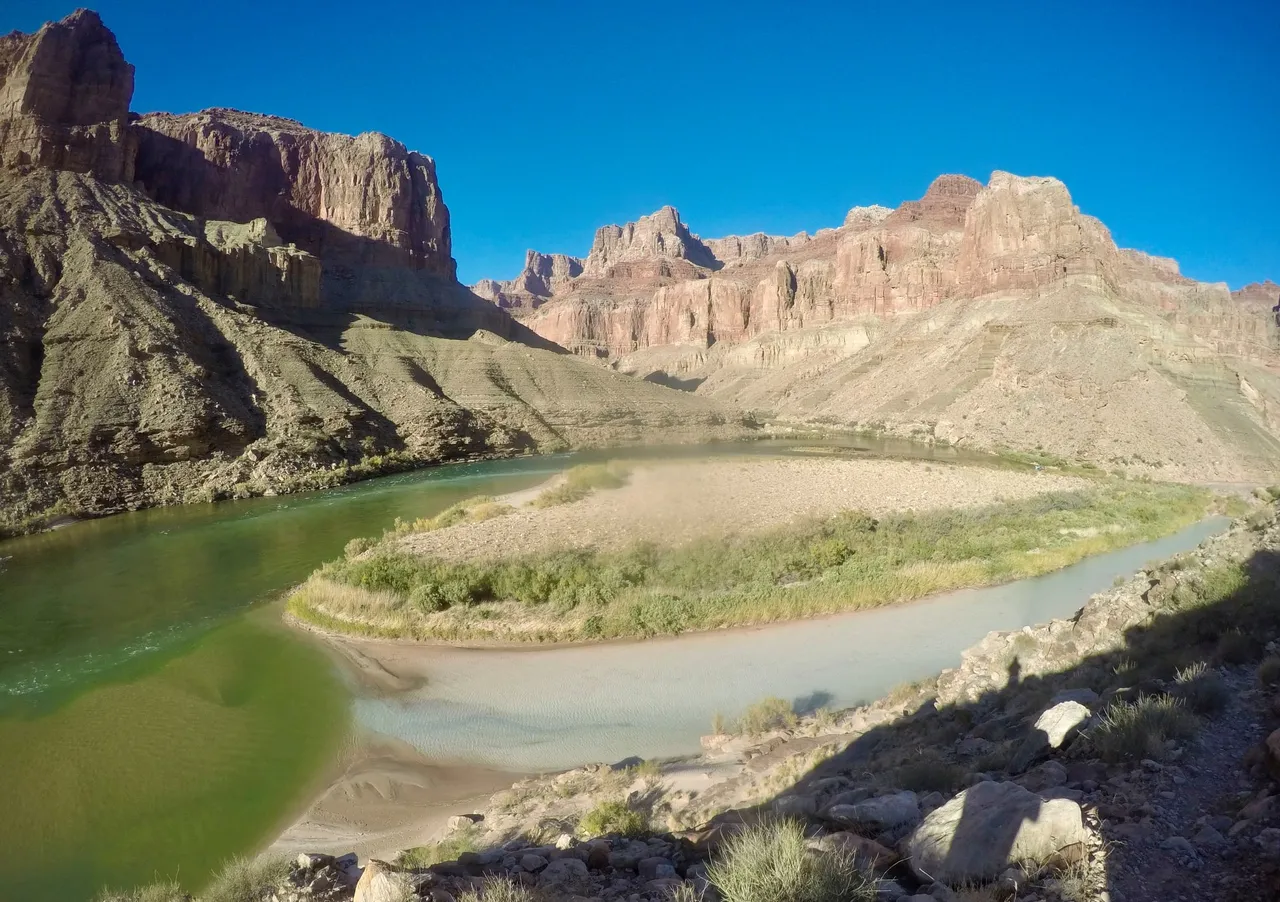
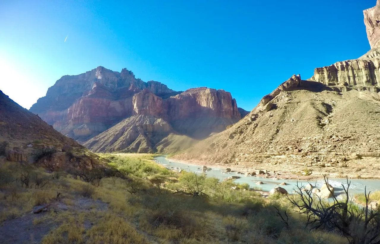
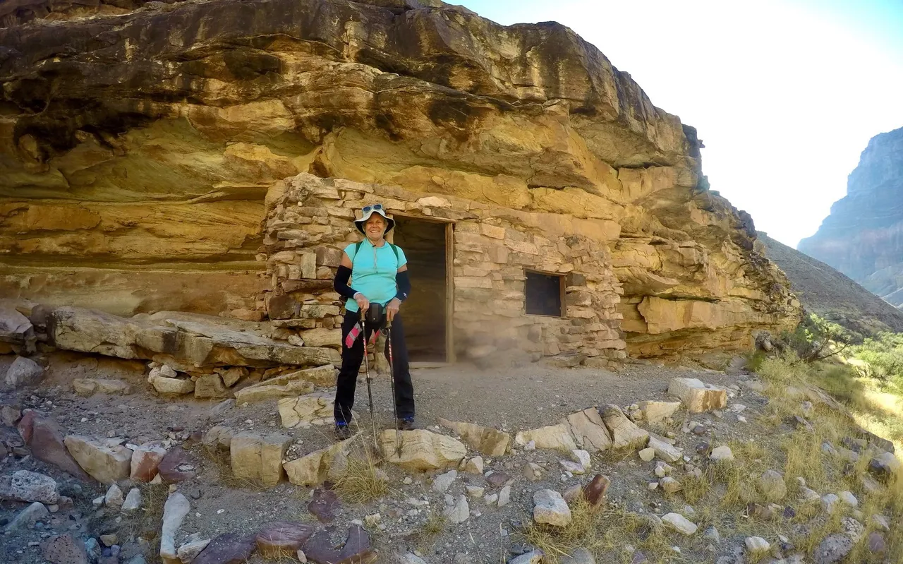
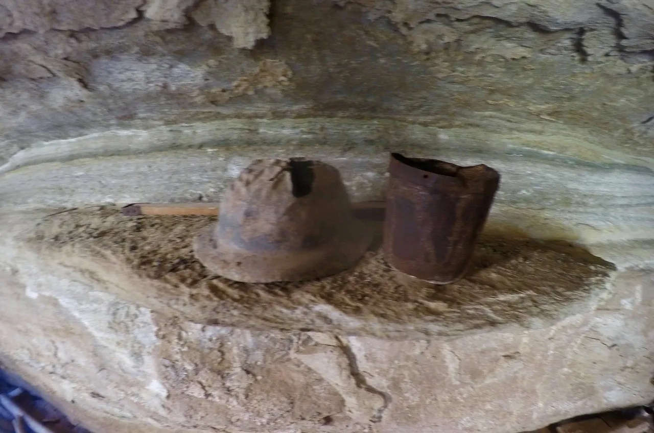
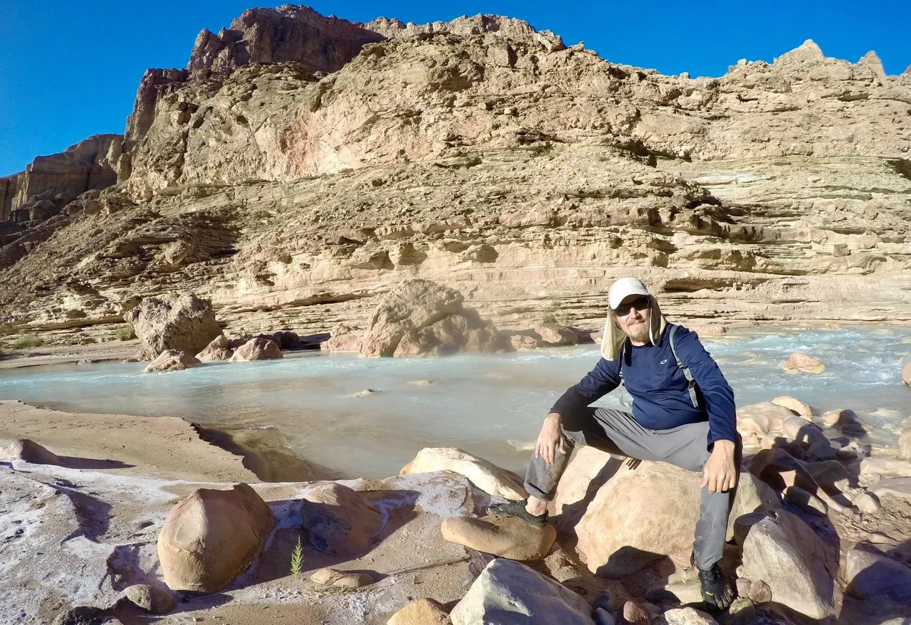
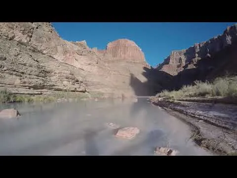
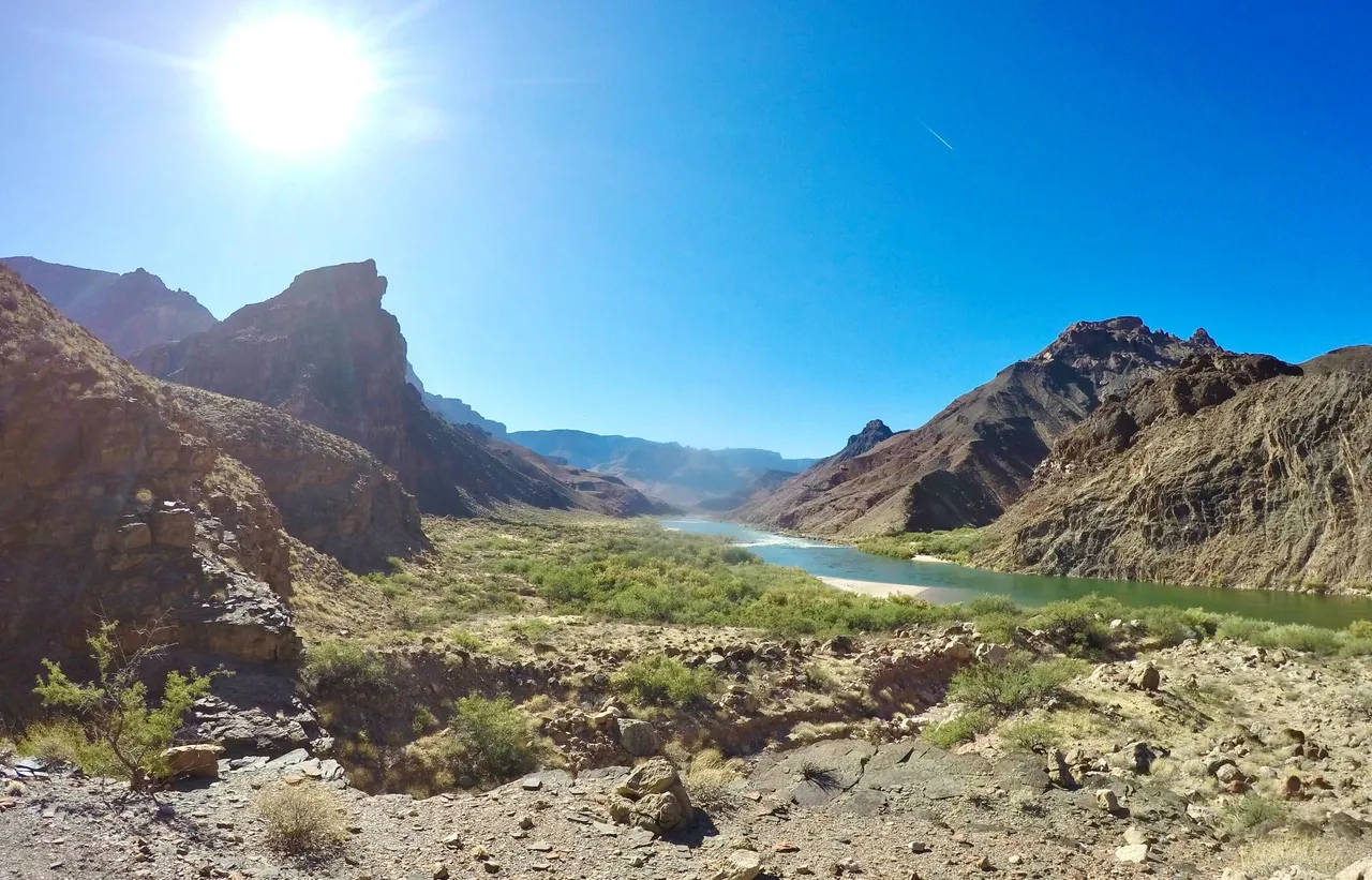
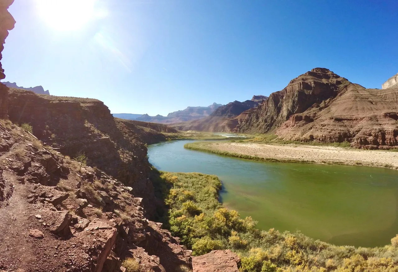
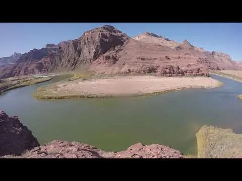
The next morning we had breakfast and filtered water and then packed up camp and got ready to go. We left Tanner rapids and headed up river on the Beamer trail. The trail climbed up to get through some cliffs of Tapeats sandstone, then the trail dropped down and followed along the river. Passing some real nice beaches along the river. Then at Palisade creek(which was dry) the trail climbed steeply up several hundred feet onto a plateau. Up on the plateau the trail winded up, down, back, and forth going in and out of all the many gulches coming down off the Palisades of the Desert. Each gulch provided us an obstacle course full of ledges, boulders, brush, sandy washbeds, and more. But after each gulch the trail would come back out to the edge of the plateau which gave us incredible views of Temple Butte, Chuar Butte, and the Colorado river hundreds of feet directly below! As we got close to the confluence of the Colorado river and the Little Colorado river the trail descended back down to the river level. Just before reaching the confluence we stopped at a nice beach down by the river and setup our camp there. Once camp was all setup we hiked the last bit up to the Little Colorado river. There was a group of river rafters at the confluence, so Rob and Nelson went over to talk to them (and see if they had any extra beer), mom and I headed up the Little Colorado and went to checkout the Beamer Cabin. An old miners cabin that is built into an even older native American cliff dwelling. There were still artifacts from both the natives and the miners! Then mom, Rob, and Nelson headed back to camp, but I decided to spend some time hiking up the Little Colorado a little farther and I found a nice spot to hangout and enjoy the river for a bit before heading back to camp myself for yet another beautiful night in the canyon.
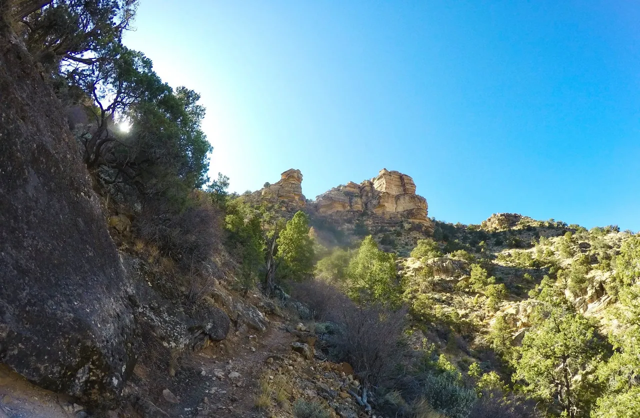
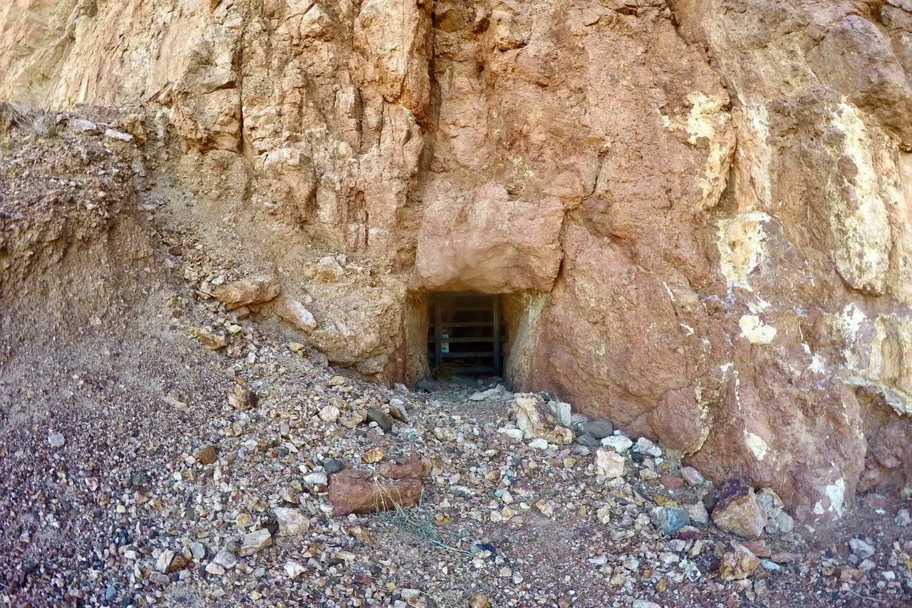
On day 3 we packed up camp and started making our way back. Back though the obstacle course gulches along the plateau and down to Palisade creek. Near the "creek" I took a small detour and I went and checked out a really neat old copper mine!! From there it was just a few more miles back to Tanner rapids where we once again setup camp. But this evening we all went to bed early with plans for a predawn start on our big climb back up out of the canyon.
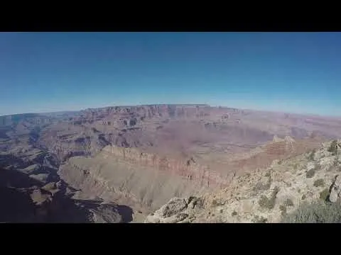
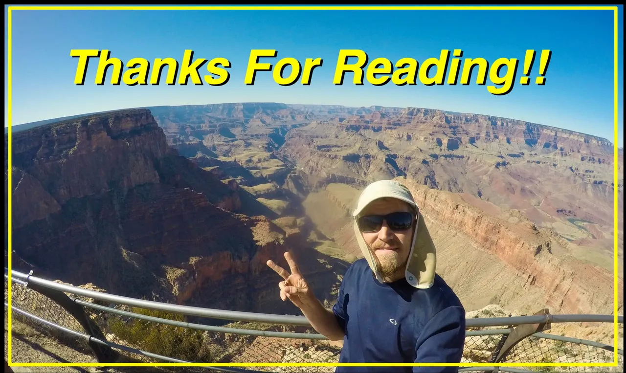
As planned we got up and got started hiking early. Trying to get as far up out of the canyon as possible before the mid day heat was pounding down on us. The climb out was pretty steep and difficult, but I summoned my inner mountain goat and made it to the top with no problem! It was tough, but not nearly as bad as the suffer fest that is the New Hance trail(which I had to climb after twisting my knee and burning my foot at Hance rapids a few years ago). I got to the top quite a bit before the rest of the group, but when they arrived we celebrated with some beers from the cooler and then we went our own ways. Rob and Nelson headed home to Prescott and mom an I headed into Tusayan and got a hotel room for the night because the next day we were headed back to the canyon for more adventures! But unfortunately that's gonna have to wait for the next post.