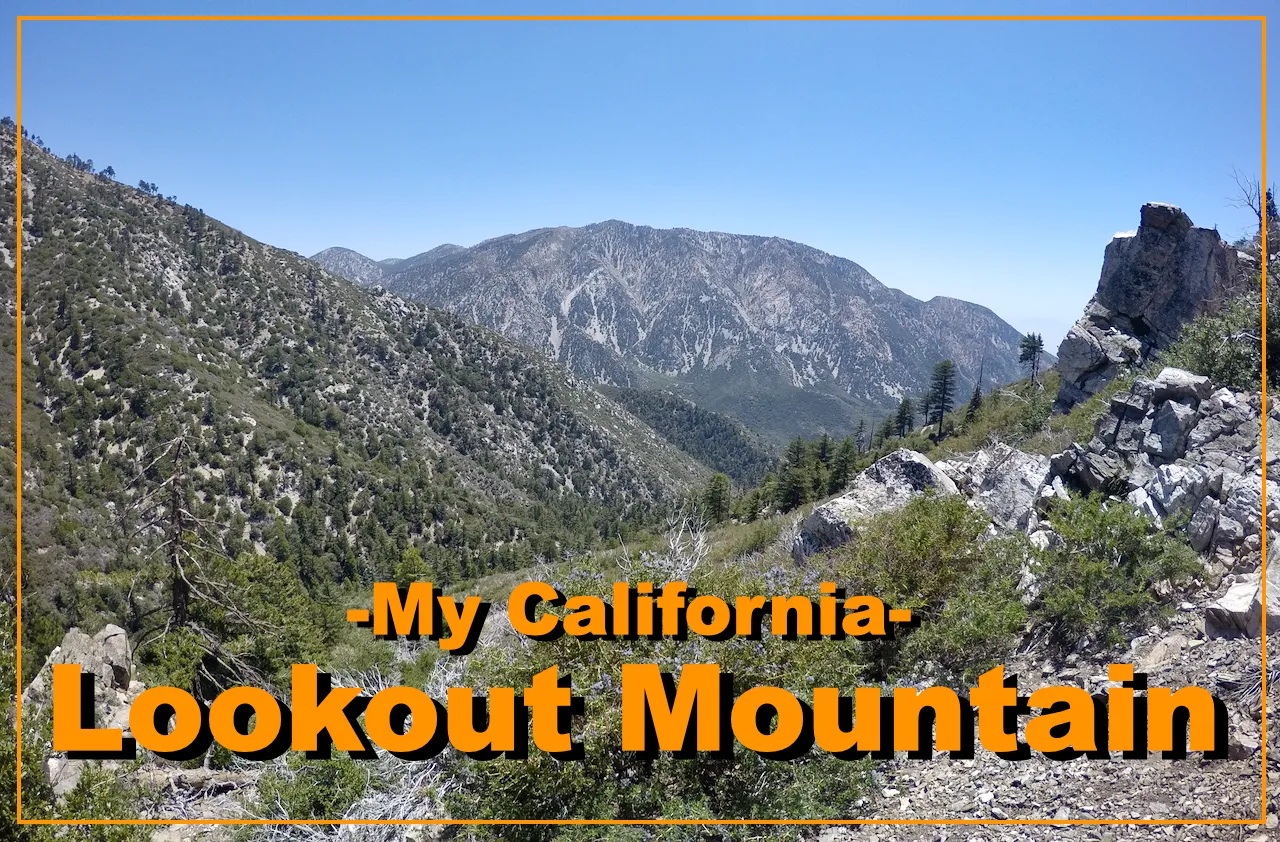
For this weeks Show Us Your California contest by @thesocalhive I head up into the San Gabriel mountains to make the climb up to the top of...
Lookout Mountain!!

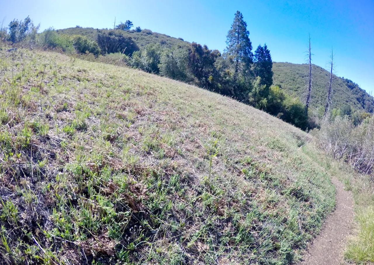
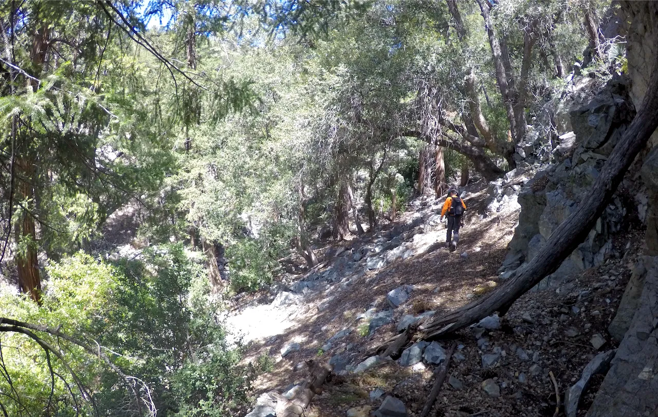
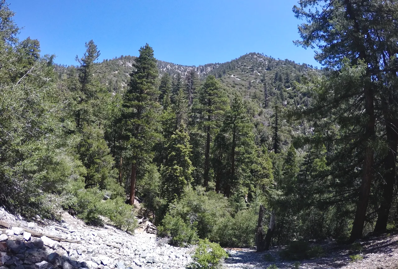
I hadn't climbed a mountain in awhile... and despite it being rather unknown, Lookout Mountain is one of my favorite local climbs. So when my buddy Tyler hit me up asking if I wanted to go climb it with him I jumped on the opportunity! I drove up San Antonio canyon to the town of Mt.Baldy. At the turnoff I took the single lane road up to Cow Canyon saddle where I met Tyler and his girlfriend Stephanie. We left Tylers truck there and they hopped in my truck and we headed back down into town. We found a spot to park in town and then headed up the trail. The trail starts directly across from the Baldy Lodge and follows up Bear canyon under a thick canopy of huge Spruce Fir and Live Canyon Oaks. At first it's on a road and as you hike you pass lots of really neat cabins. Eventually the road ends and the foot trail begins, but there are still some cabins (some of the coolest ones in my opinion) where people have to actually hike everything in. Once we passed the last cabins the trail starts to switchback up out of the canyon bottom and out onto the hillside where we started getting some great views!
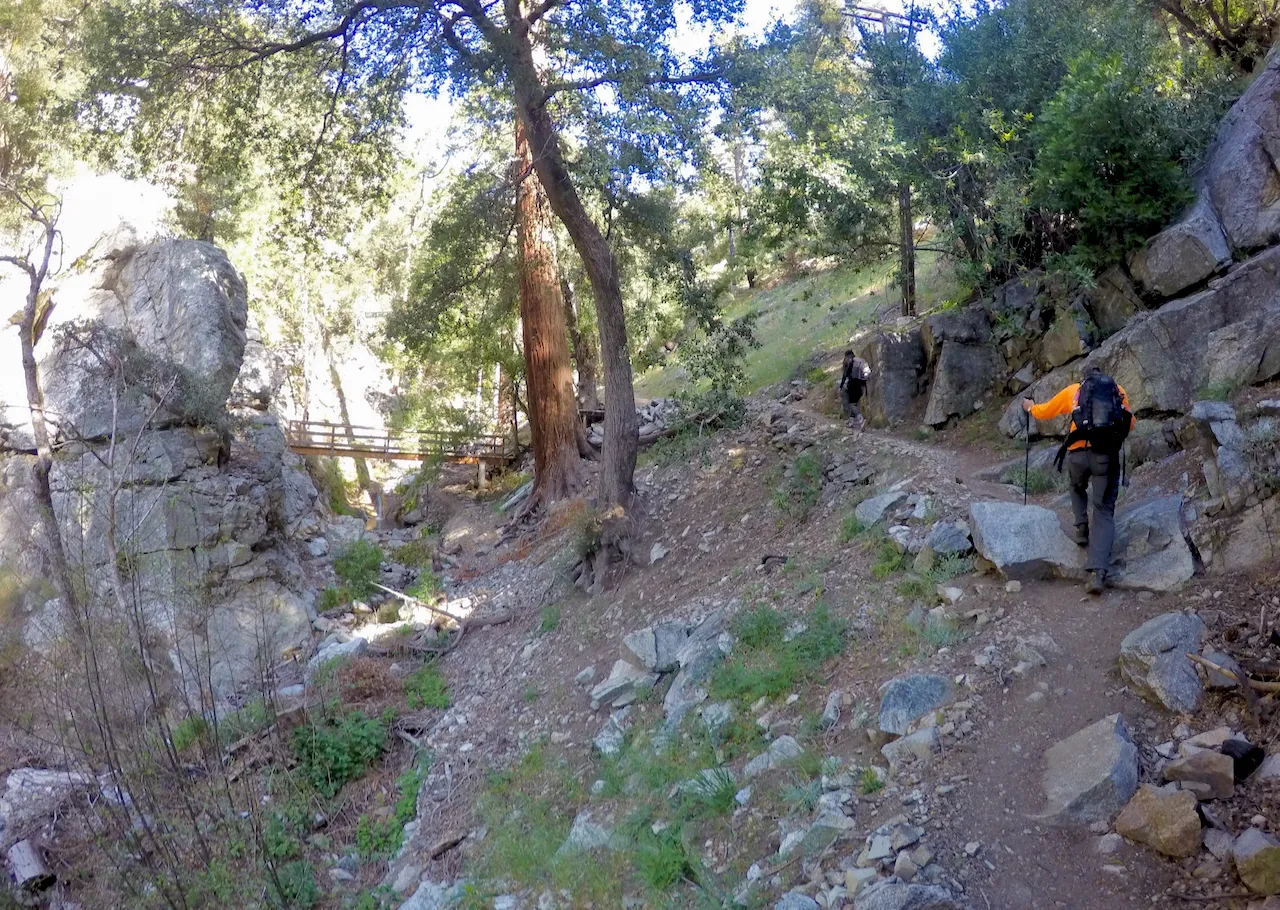
Hiking up Bear Canyon
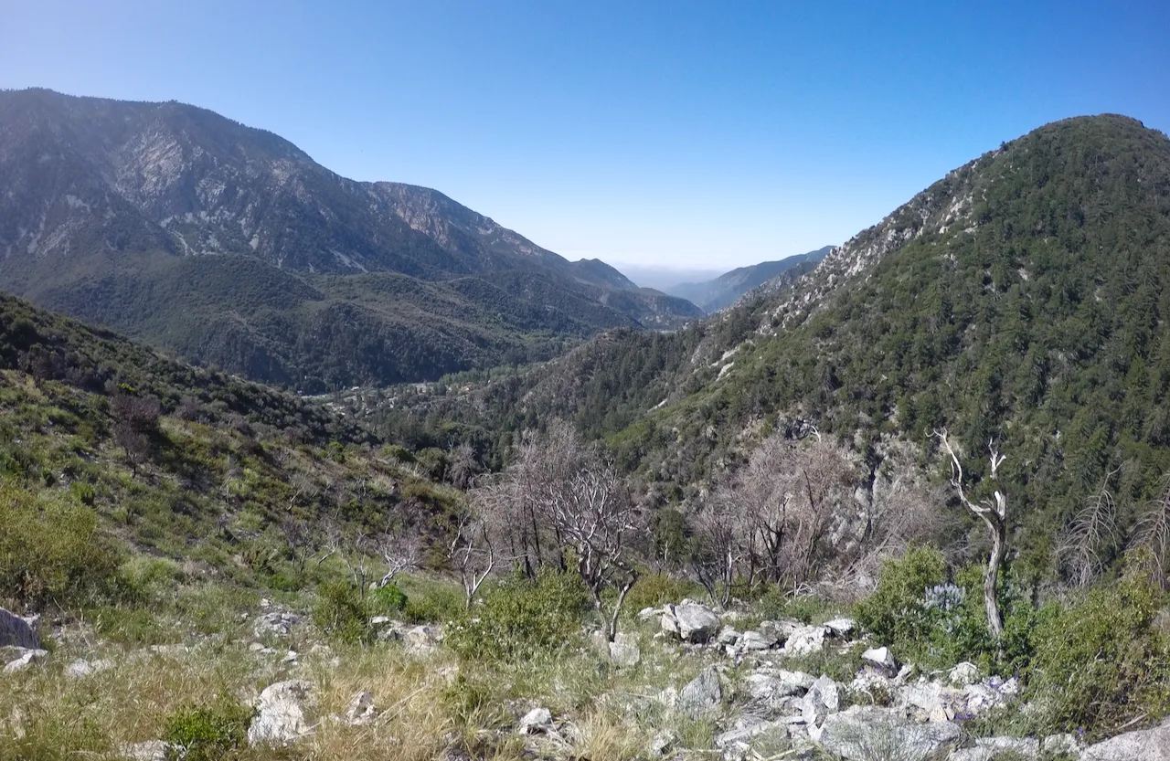
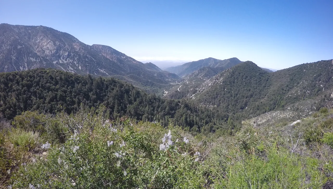
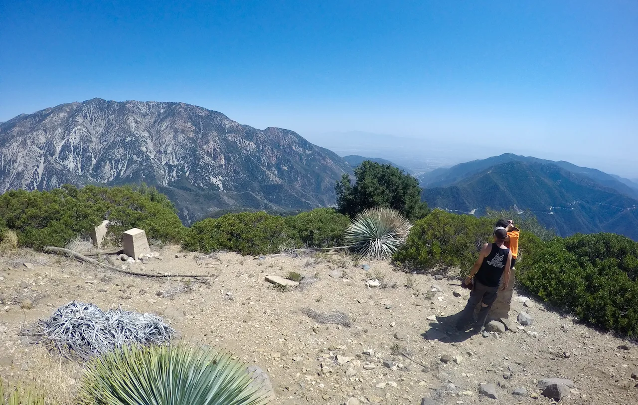
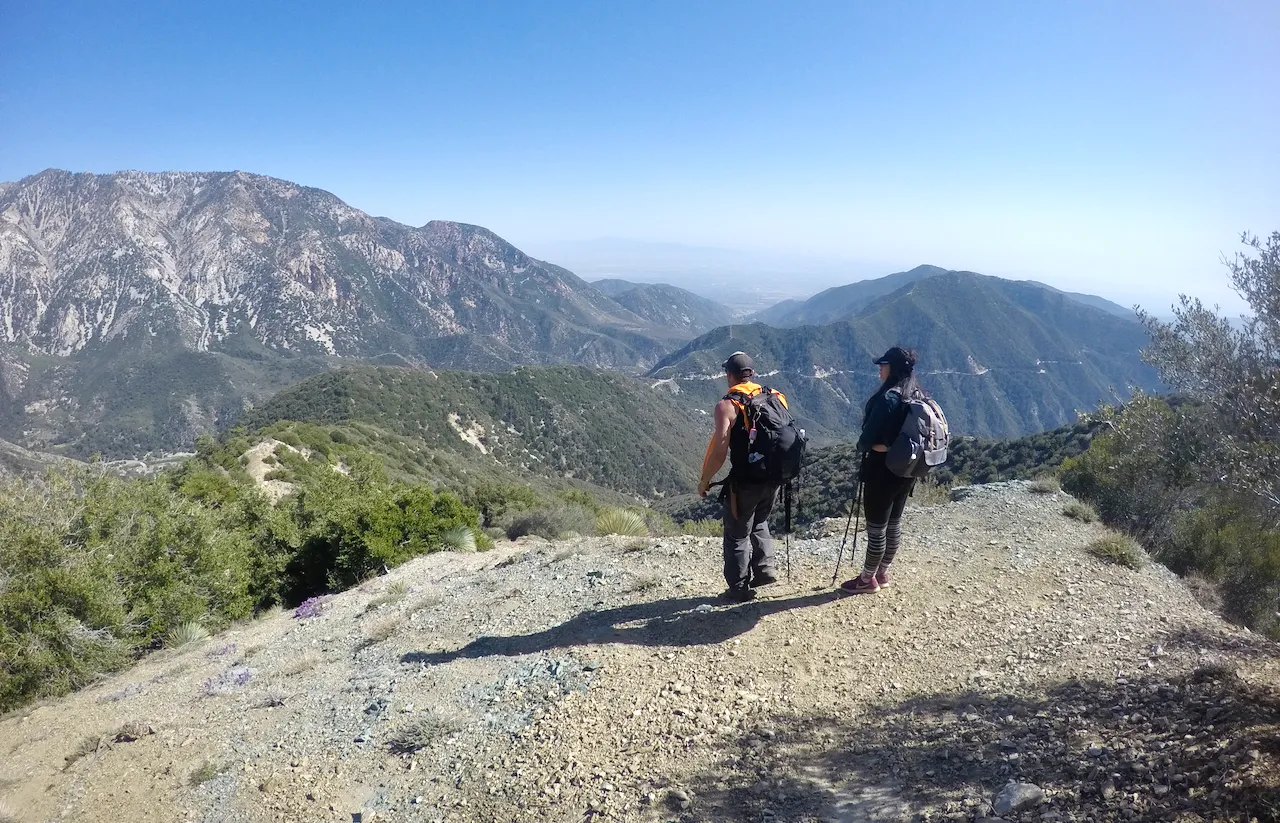
Views overlooking San Antonio canyon
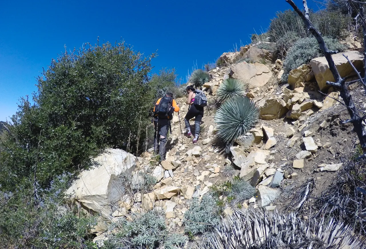
We climbed up for a couple miles eventually arriving at Bear Flat. A nice area with a small meadow and some nice spots for camping. But we weren't camping today... we had a mountain to climb. At Bear flat we left the main trail. It actually took us a minute to figure it out (even though I've done it twice before), but we were able to find and follow the old abandoned trail over to the West Fork of Bear Canyon. This section still has a small amount of "trail" but it's quite overgrown with Scrub Oak and Buckthorn and has many places where it is completely washed away from landslides. A bit rough, but that's when start really feeling like your on an adventure! Eventually we got over to the West Fork of Bear Canyon and started hiking up the bottom once again under a lovely canopy of big trees. Eventually all signs of any trail were gone. We climbed up and around boulders and fallen logs making our way up canyon. At one point we decided to leave the canyon bottom (in retrospect I think too soon) and start our climb up the northern slope of Lookout Mountain. We climbed up and up the brutally steep hillside. Climbing up through loose scree and pushing through brush. It was pretty tough, but as we climbed the views got better and better.
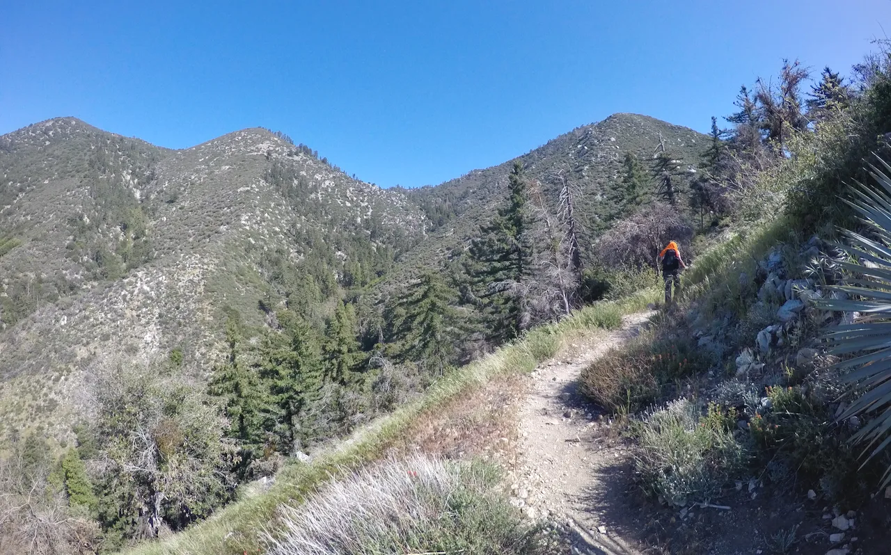
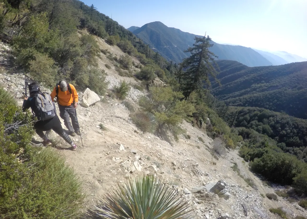
Hiking up the trail
Bear Flats
Obstacles along the old trail to the west fork of Bear creek
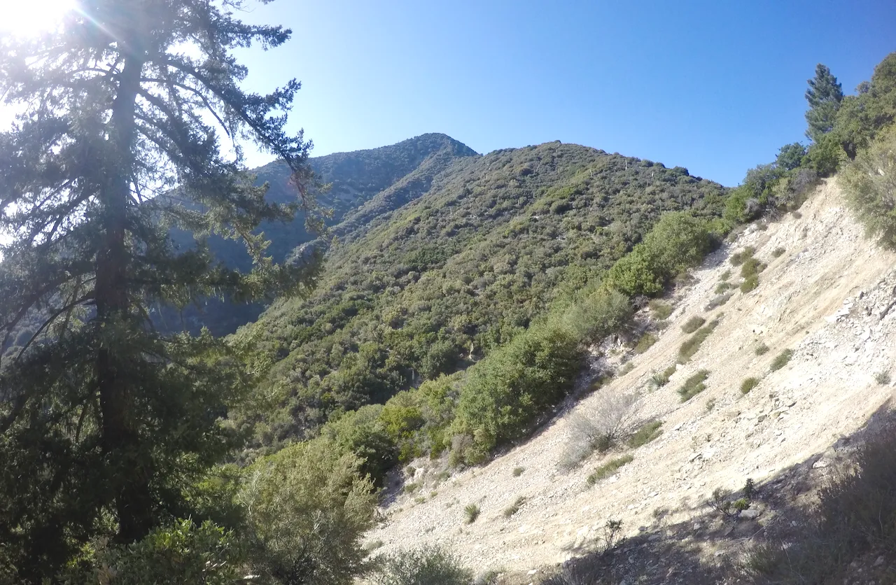
Views from the old trail
Entering the west fork of Bear creek
Starting our climb up the north slopes
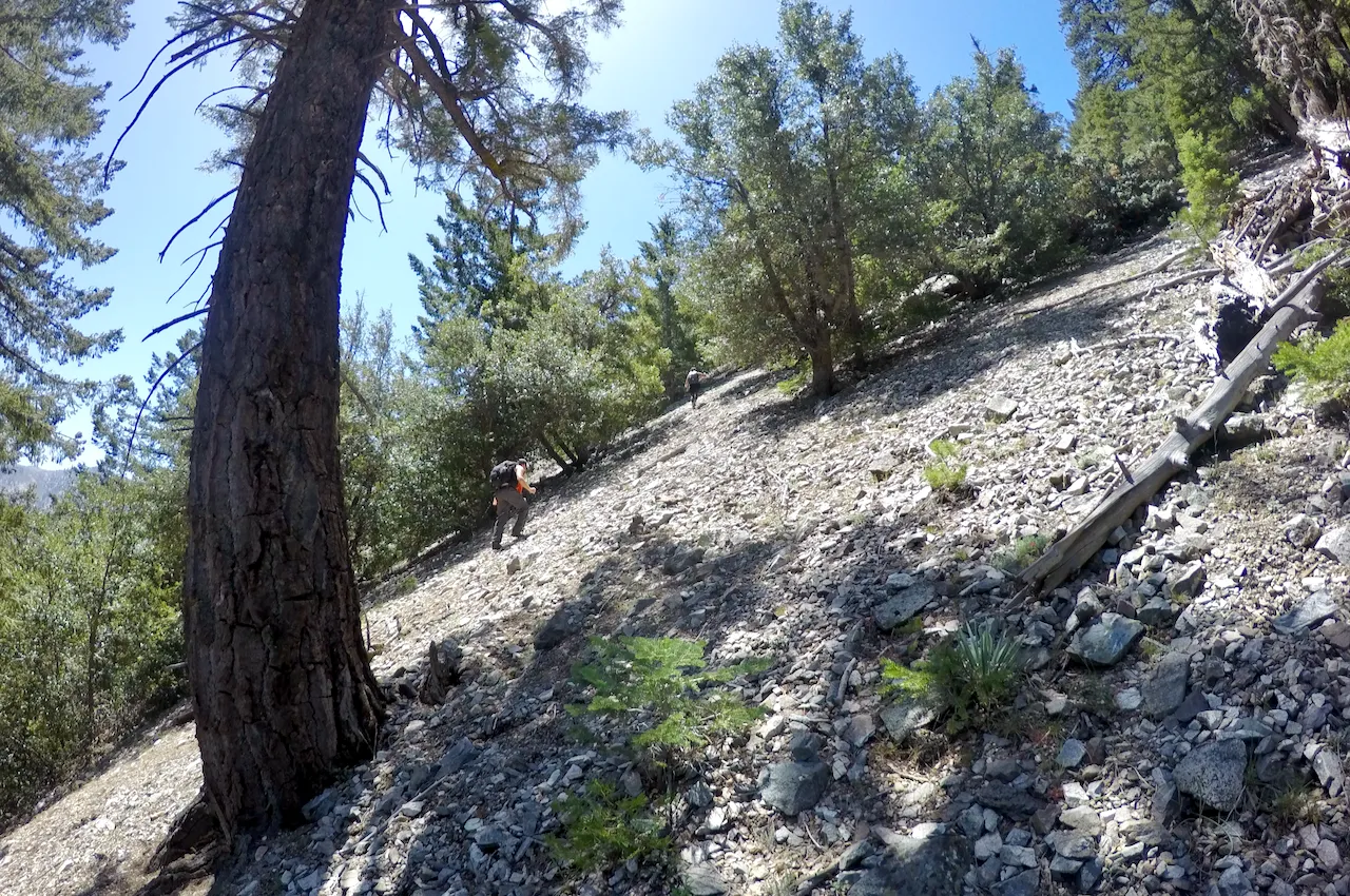
Climbing up the steep scree slopes

Eventually we got to the top of the north ridge and the climbing got much easier. And from the ridge we started to get some epic views looking west over Cattle canyon. We headed south along the ridge going up and down a few times before making the final climb to the summit!! Lookout Mountain is not the tallest or most prominent peak in the eastern San Gabriels. Mt. Baldy towers over it at over 3,000 feet higher. But Lookout mountain is actually very significant in another way. Not only is it a fun, challenging, and scenic climb... but it actually has an important history. It not only had the first lookout tower in southern California, but it was where (along with on Mt. Wilson) where the speed of light was successfully measured. If you are interested (it is quite interesting) you can read more about it here.
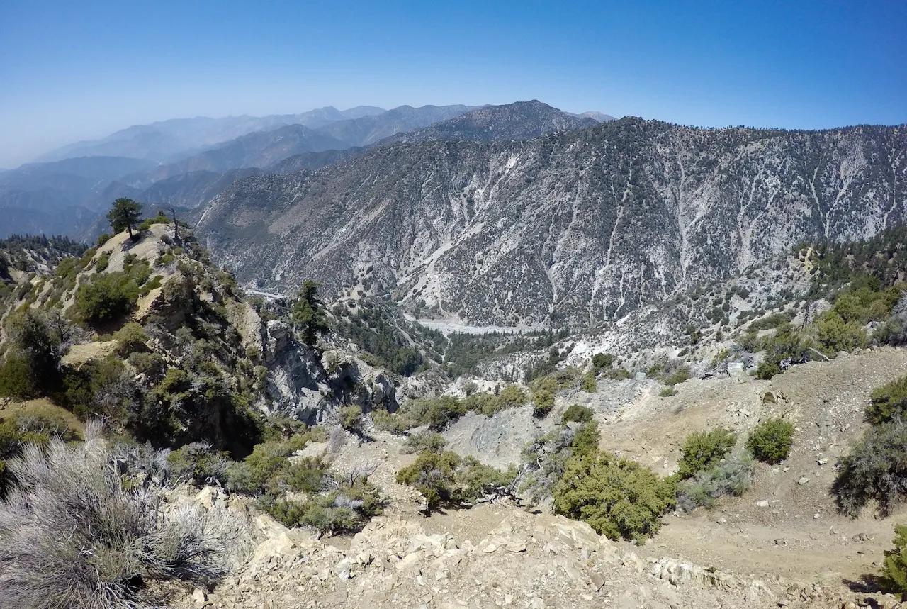
Looking west from the North ridge of Lookout Mountain

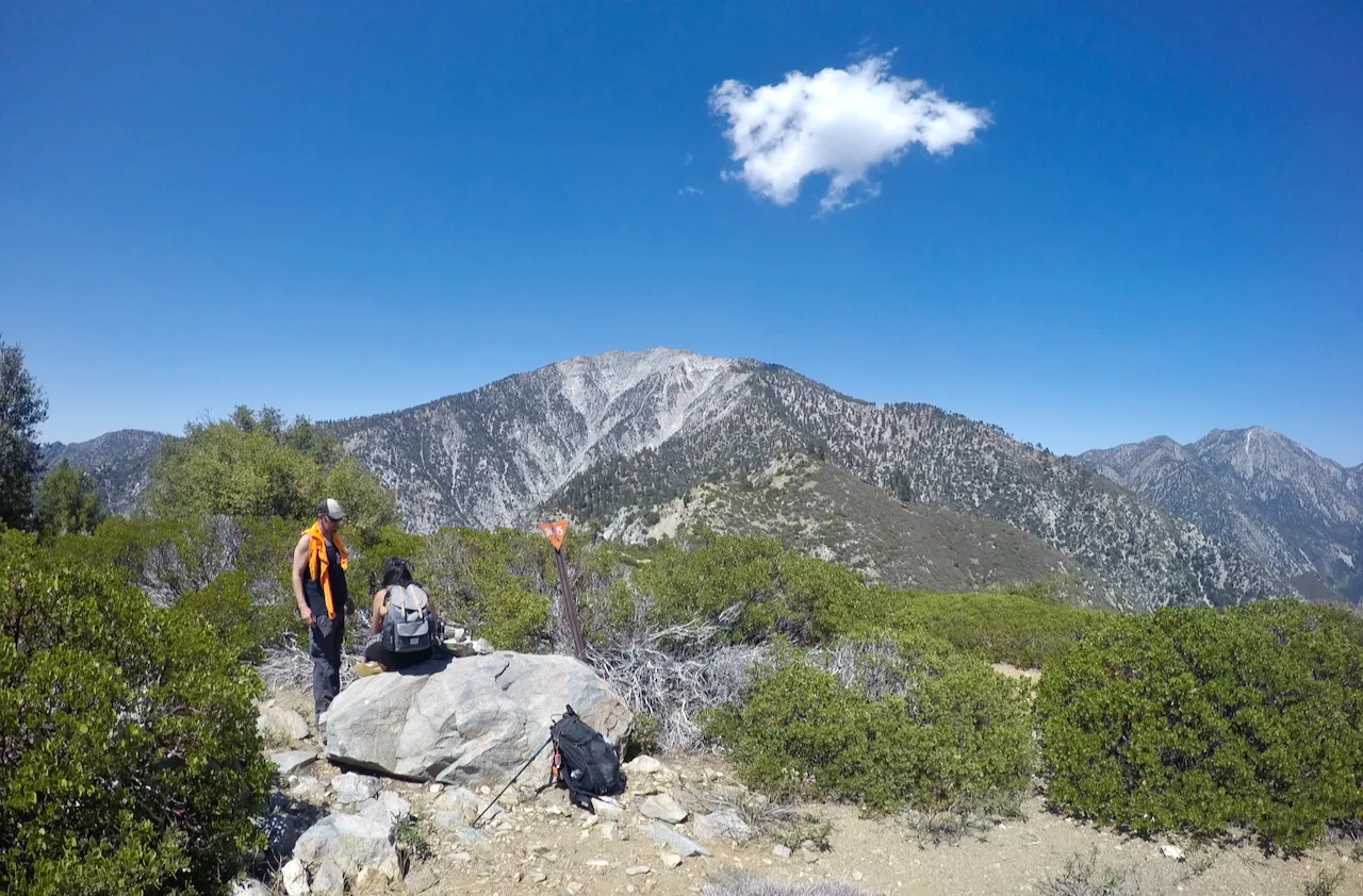
Tyler and Stephanie on the summit

Checking out the last few remains of the lookout tower
We rested on the summit for awhile enjoying the views. We checked out the remains of the old lookout tower and then eventually it came time to head down. But instead of going down the same way we came up we decided to head down the trail that follows the south ridge to Cow canyon saddle where we left Tylers truck. The south ridge has a trail the whole way, but there are a few confusing parts as well as a few washed out parts as the trail gets very little use. But there were great views all the way down and after we got back we hopped in Tylers truck and headed into Mt. Baldy and stopped at the Baldy Lodge for some beers and nachos!! If you ever go to Baldy lodge... I highly recommend the nachos. It's a mountain of deliciousness! After enjoying drinks and dinner we split ways and headed down the mountain. It was a really fun day and hopefully we'll meet up for another adventure sometime soon!!
Views from the south ridge trail
Crossing a sketchy washout on the south ridge trail
Looking back up towards the summit
And so until next time...
I hope you have enjoyed this glimpse into
My California!!

#SoCalHive is building and supporting the Hive Blockchain community in Southern California. If you are from SoCal and are into creating quality content here on Hive, we'd love for you to follow us @theSoCalHive and join our group on Discord

JOIN US ON DISCORD
SUBSCRIBE TO THE LIFESTYLE LOUNGE COMMUNITY HERE
JOIN US ON TWITTER


Pinmapple