For this weeks Show Us Your California contest by @thesocalhive I head out for a backpacking trip to...
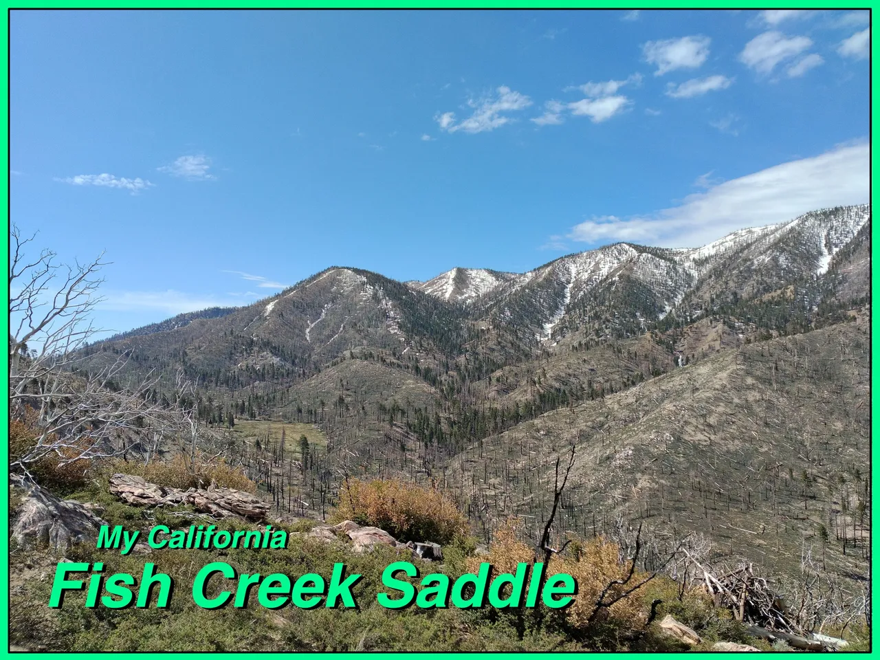
Fish Creek Saddle!!

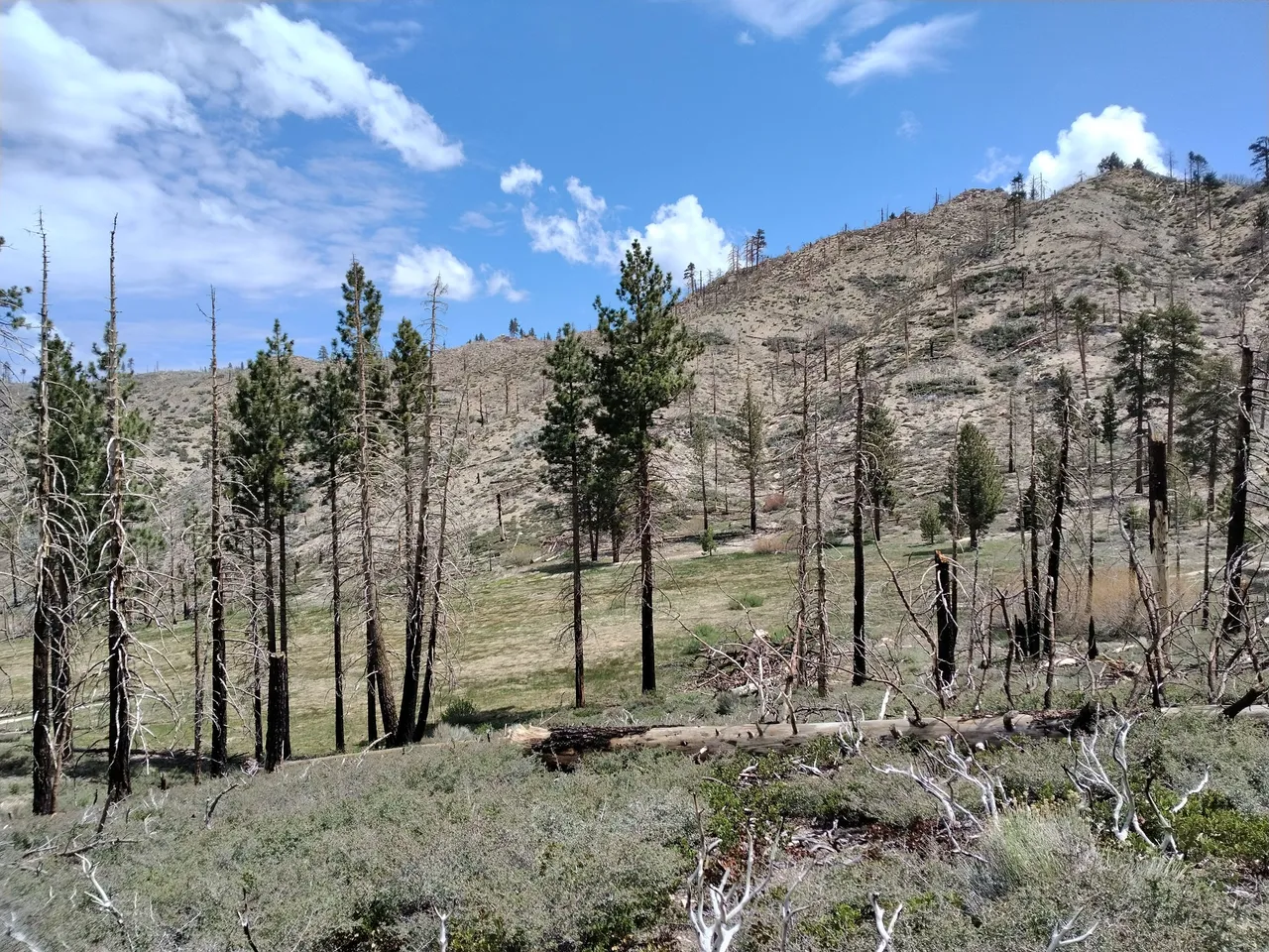
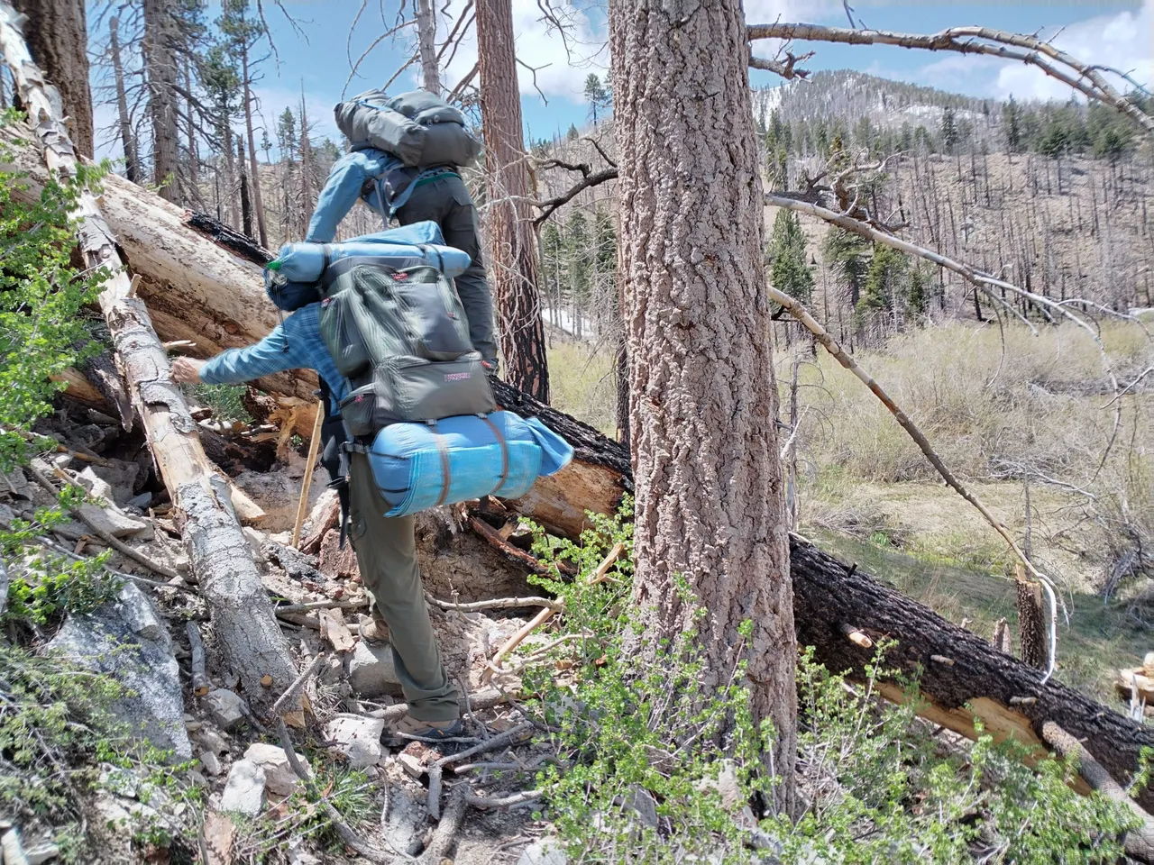
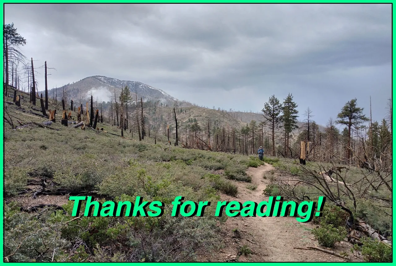
Me, my two uncles, and two of my cousins headed up into the San Bernardino mountains for an overnight backpacking trip. We headed up highway 39 to Coon creek road to Fish Creek road to the Fish Creek trailhead at the eastern end of the San Gorgonio wilderness. We tossed on our backpacks and started down the trail. Unfortunately a lot of this area burned in a wildfire and we hiked in and out of burned areas. The trail actually starts off going slightly downhill. It passes by the lower Fish Creek meadow and the trail junction with the Aspen Grove trail and then it starts climbing. It curves in and out of a small canyon crossing a fork of fish creek and then heads up the main fork passed upper Fish Creek meadows and the Fish Creek camp to the Fish Creek crossing where we stopped for a snack break. Although we had only gone a couple miles we were ready to rest because the trail had lots of fallen trees in the burn zone creating some technical obstacles that slowed us way down.
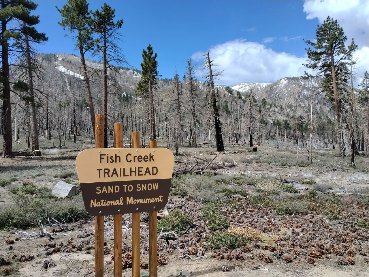
Fish Creek trailhead
Lower Fish Creek meadow
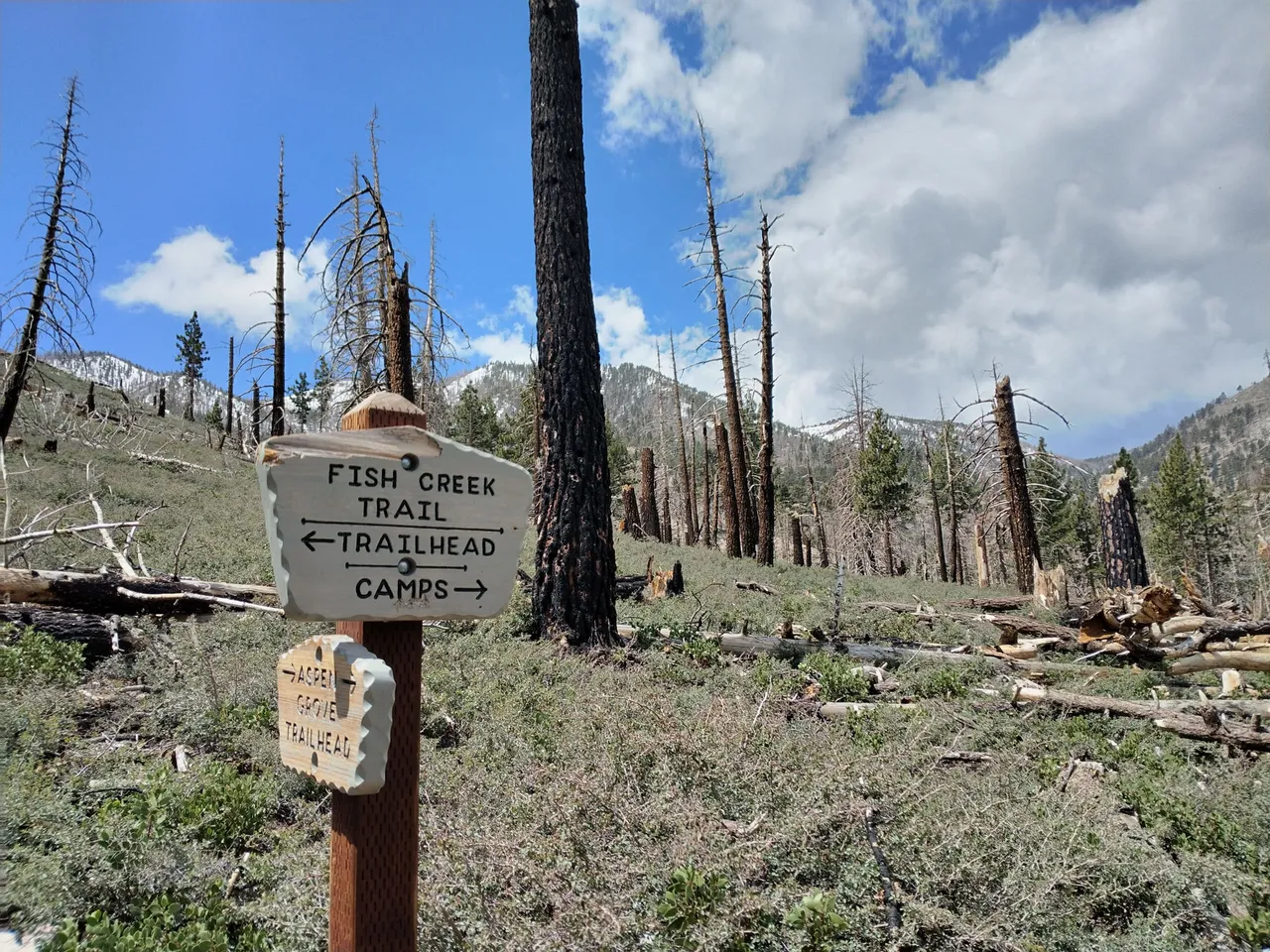
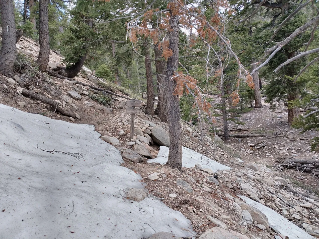
Junction with the Aspen Grove trail
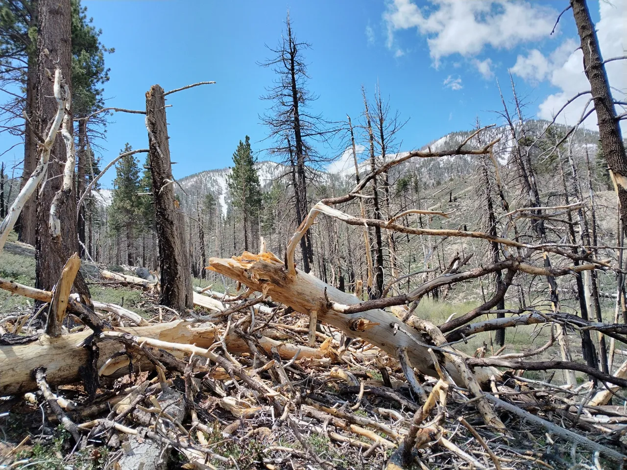
Fallen log obstacles
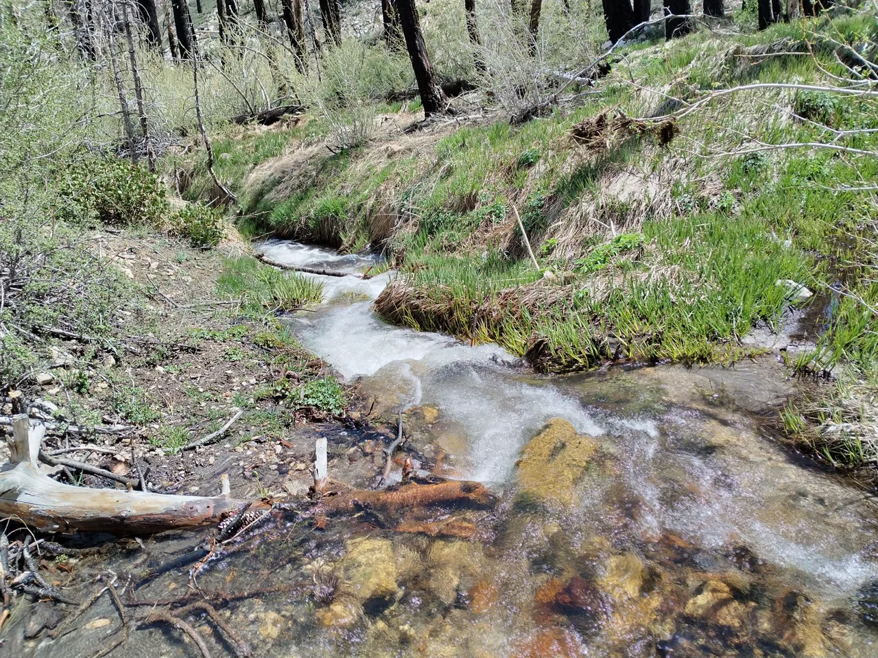
Crossing the fork of the creek
More fallen logs
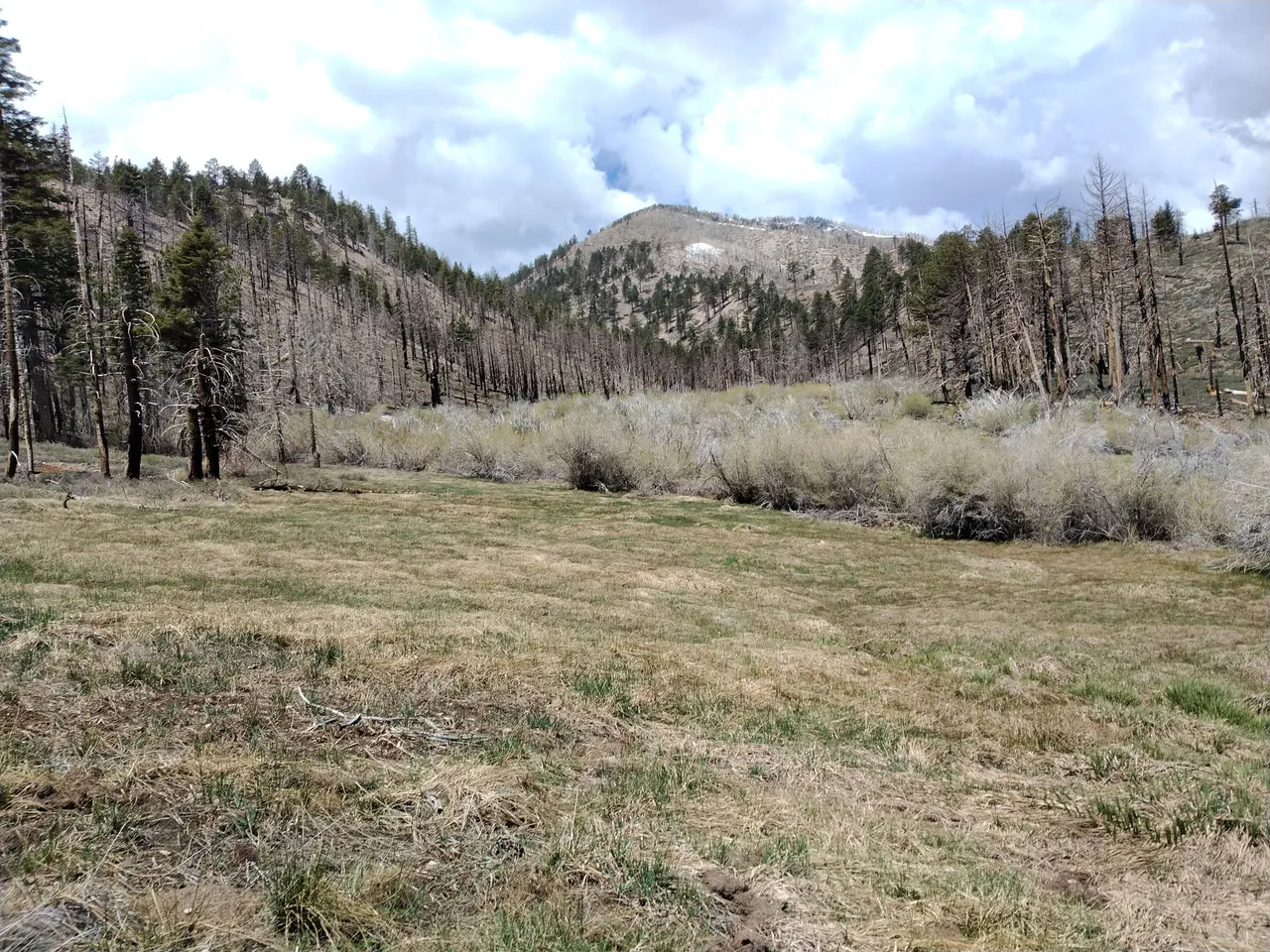
Upper Fish Creek meadow
Trail junction for the Fish Creek camp
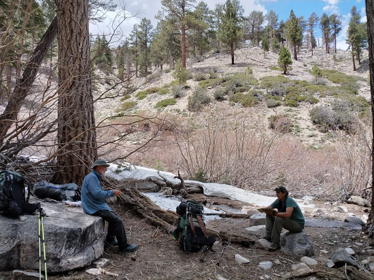
Taking a break at the creek crossing
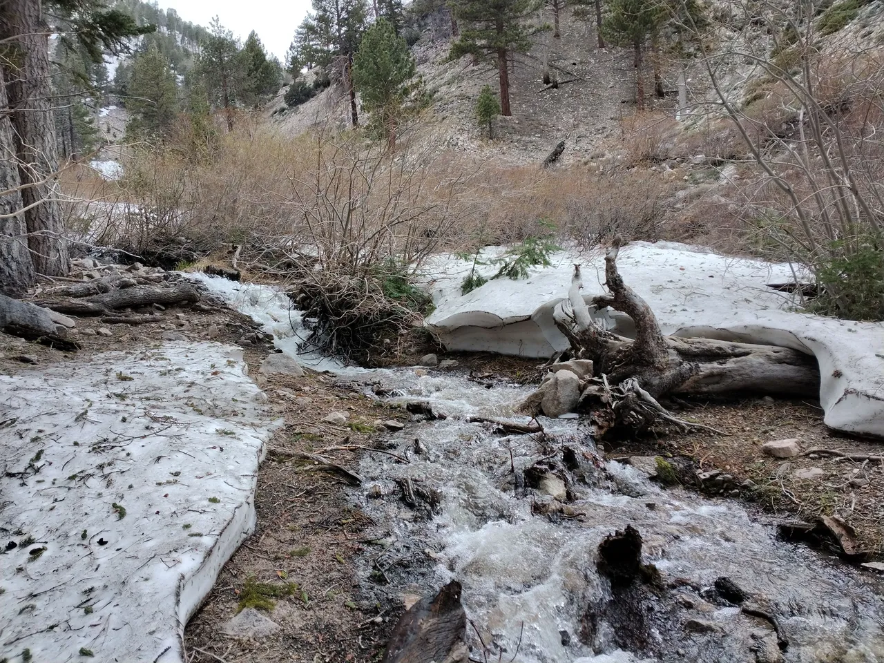
Fish Creek
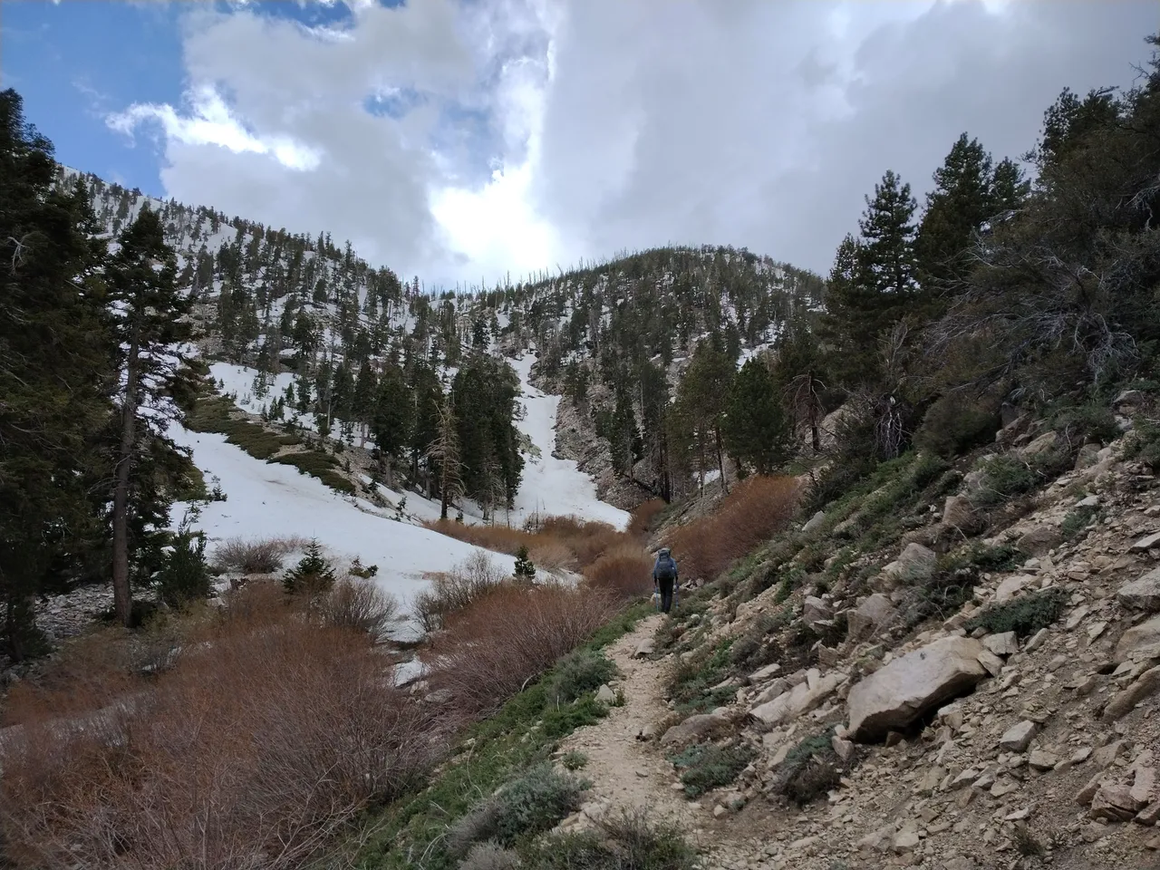
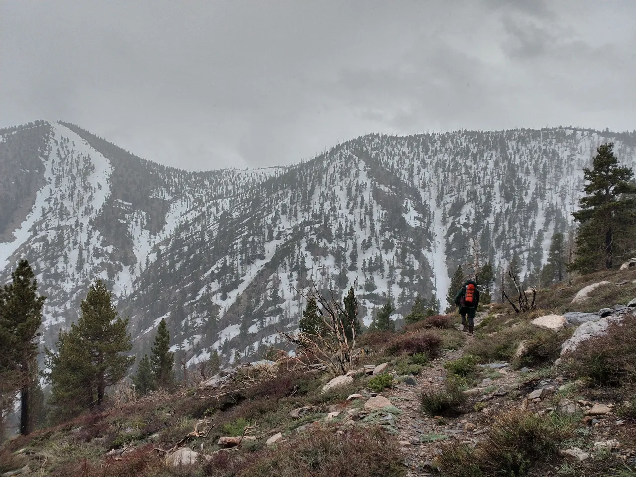
From the creek crossing the trail climbs up the north side of the canyon climbing high up on the ridge. We had more fallen log obstacles as well as some snow obstacles and as we were getting close to the saddle the snow completely covered the trail. Since the area is mostly shaded during the day there are still piles of snow up to 10 feet tall! I can only imagine how deep the snow was there during the peak of winter. When we all finally arrived at the saddle we made the decision to camp there instead of continuing on to Dry lake which had been our original plan. We were tired, running out of daylight, and looking at potentially a bunch more obstacles... so the decision to stop at the saddle wasn't hard. There isn't any running water at the saddle, but we figured we could just melt some of the snow. We got camp setup, I hung my hammock. We melted some snow, then made some dinner, and then just relaxed and had some fun hanging out together before heading to bed for the night.
Starting the climb up the ridge
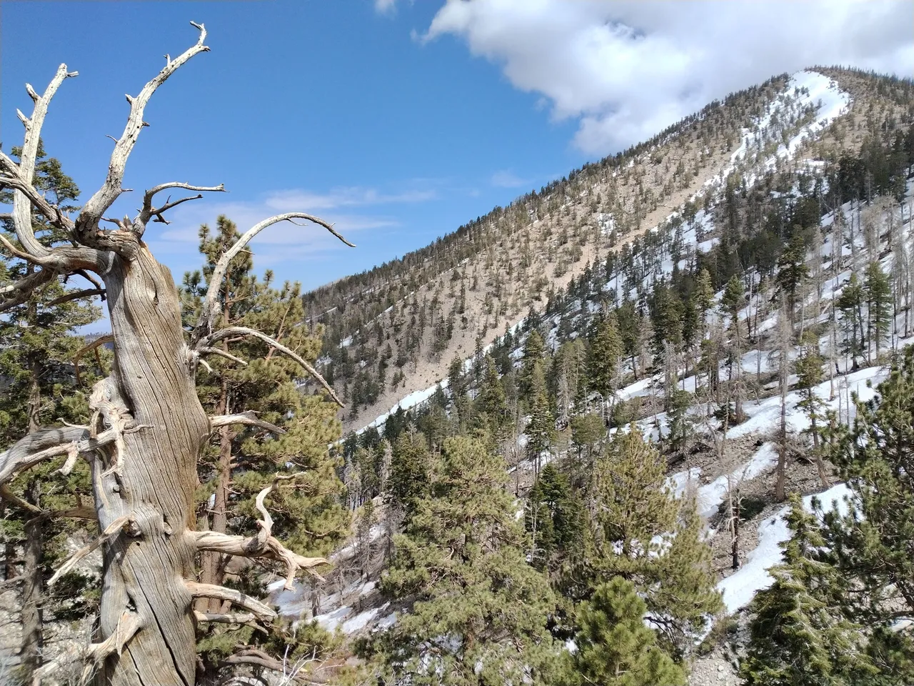
Climbing up above Fish Creek
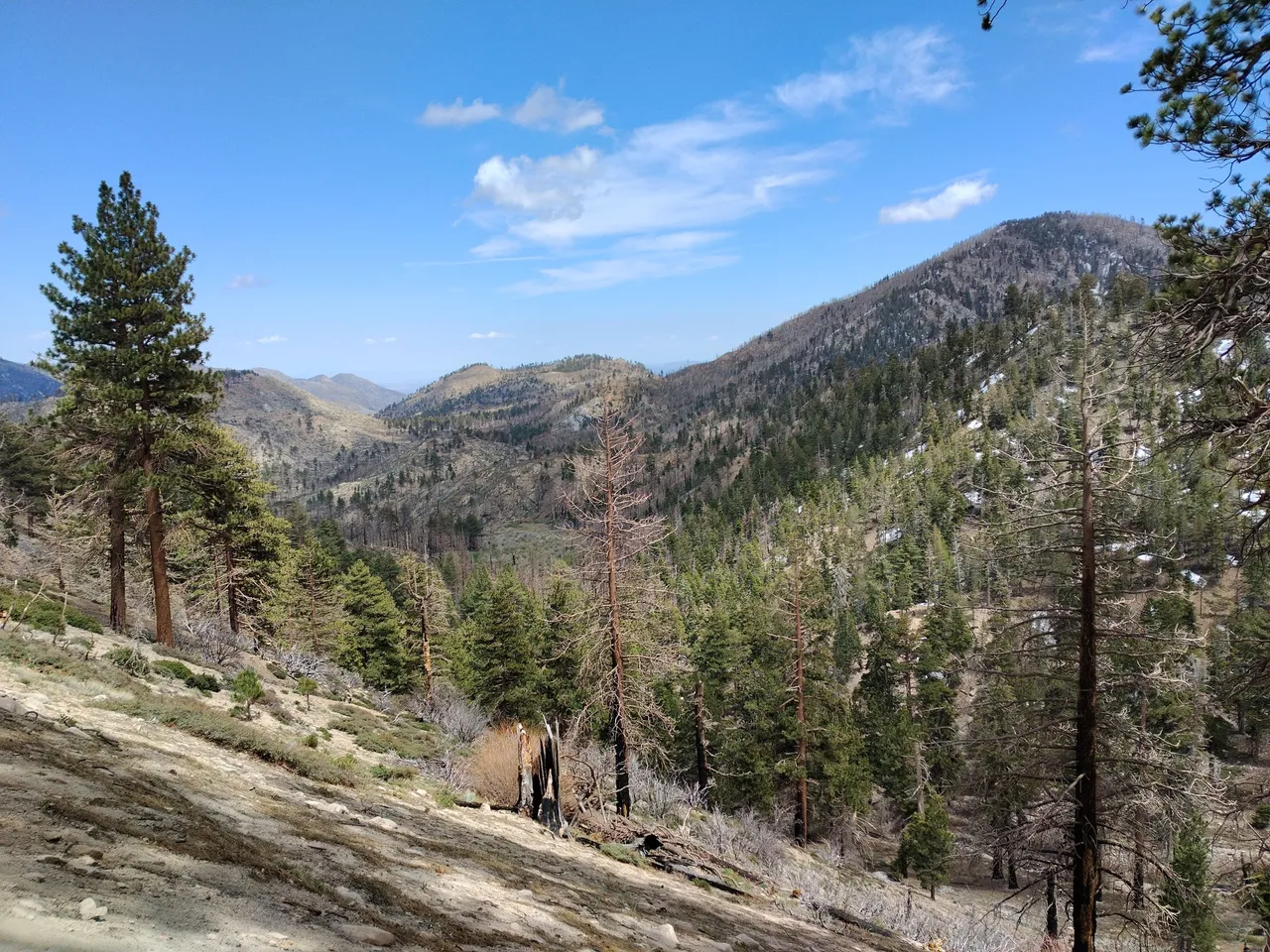
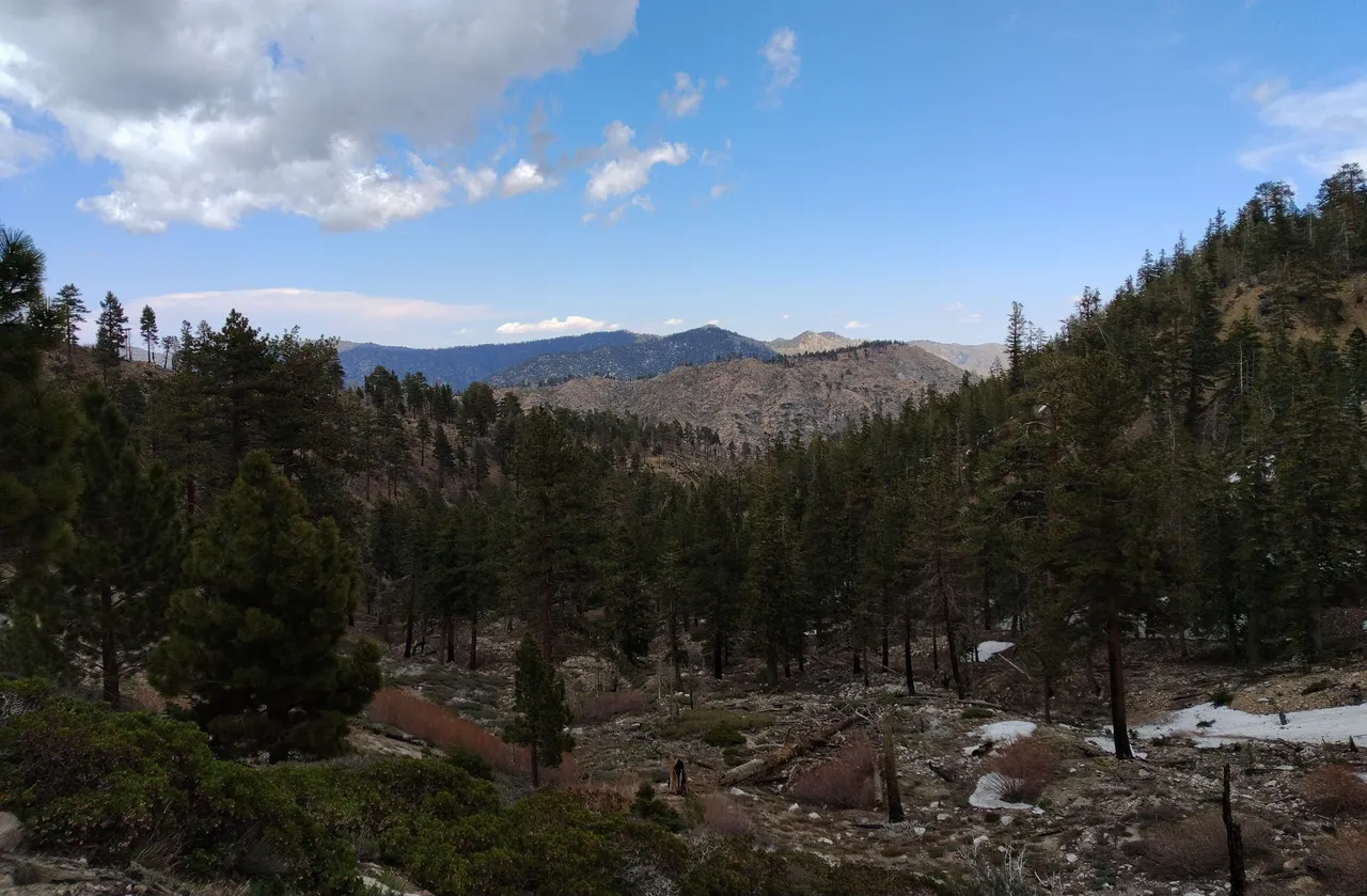
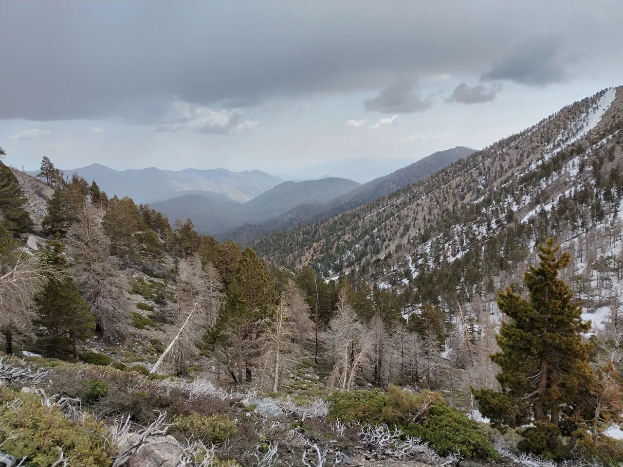
Views from the ridge above Fish Creek
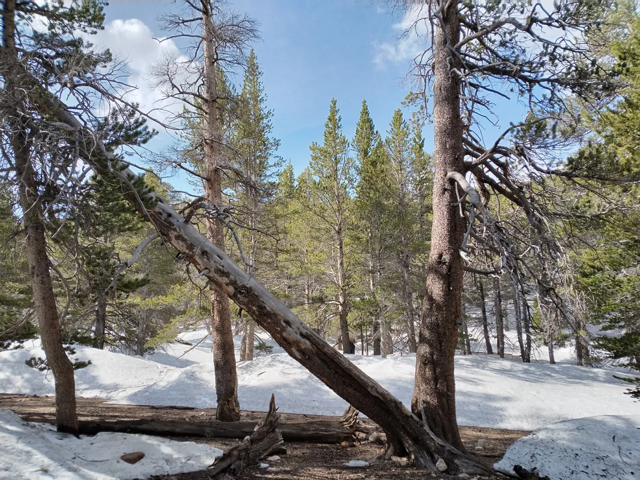
Views from the trail
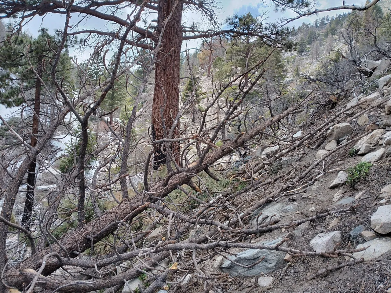
More log obstacles
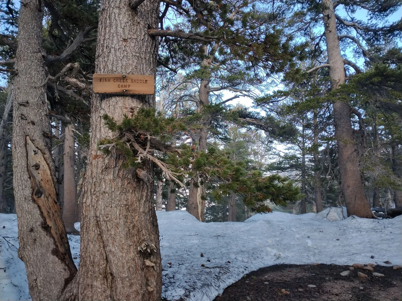
Arriving at Fish Creek saddle
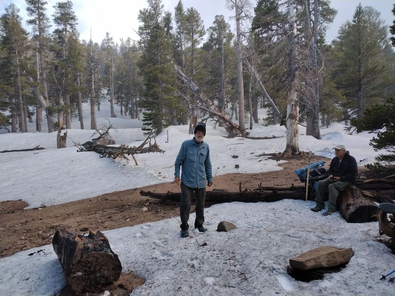
My uncles at the saddle
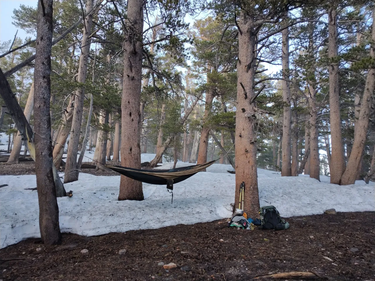
Hammock camping
My hammock
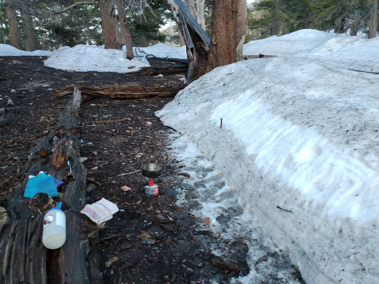
Melting snow
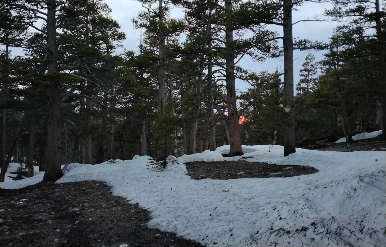
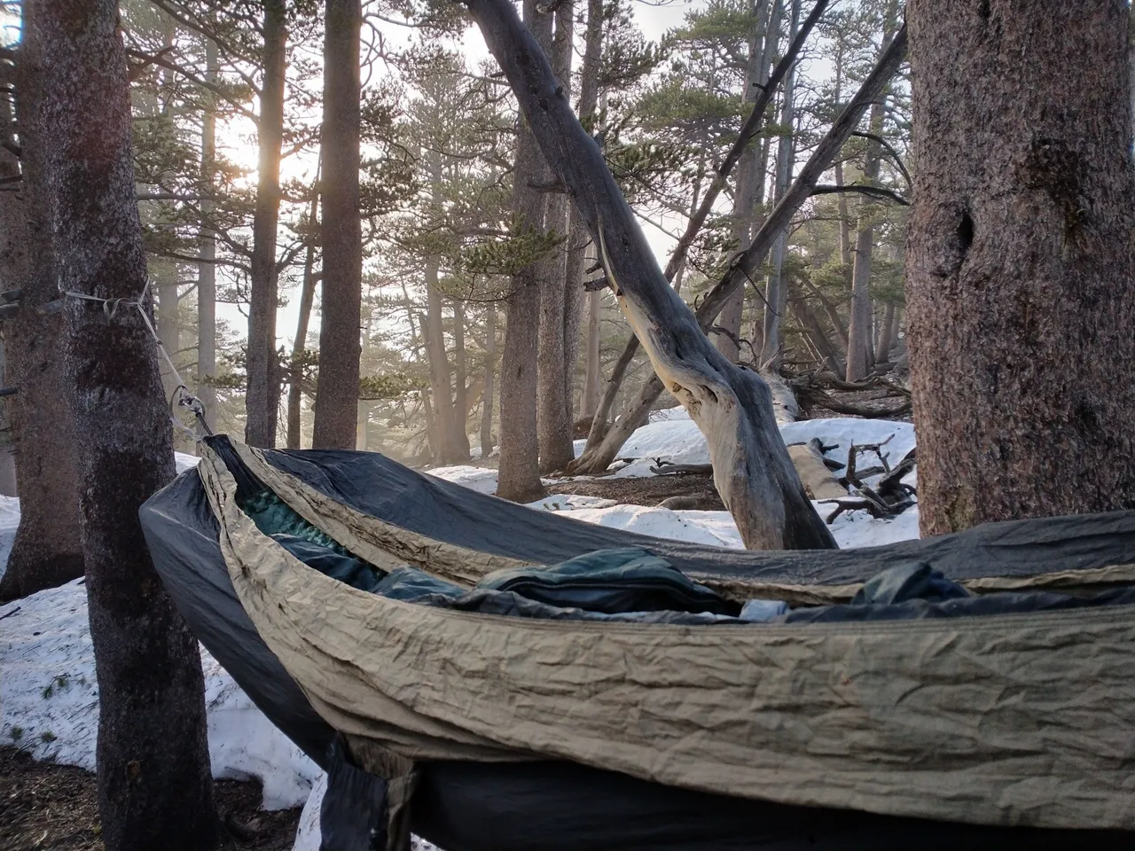
The last bit of sunlight
The next morning we took it easy and packed up slow. It was a beautiful blue sky morning. But before long the clouds were back and as we started heading back down the trail it started raining. It started out light, but eventually the rain got heavier and heavier and even turned into hail for awhile. It lightened back up as we dropped back down to the creek. We were soaked, but we didn't mind. Rain, hail, snow patches, log obstacles...to me all that just makes it that much more exciting! We got back down into the canyon, crossed the creek and took one short break there before hiking the last few miles out to the trailhead. And we got back just in time because as we were driving out the dirt road from the trailhead it started pouring rain and it came down hard! Getting back home down in the valley it was sunny and hot, which was quite a contrast, and believe it or not it had me wishing to be back in the crazy mountain weather!
Views from my hammock in the morning
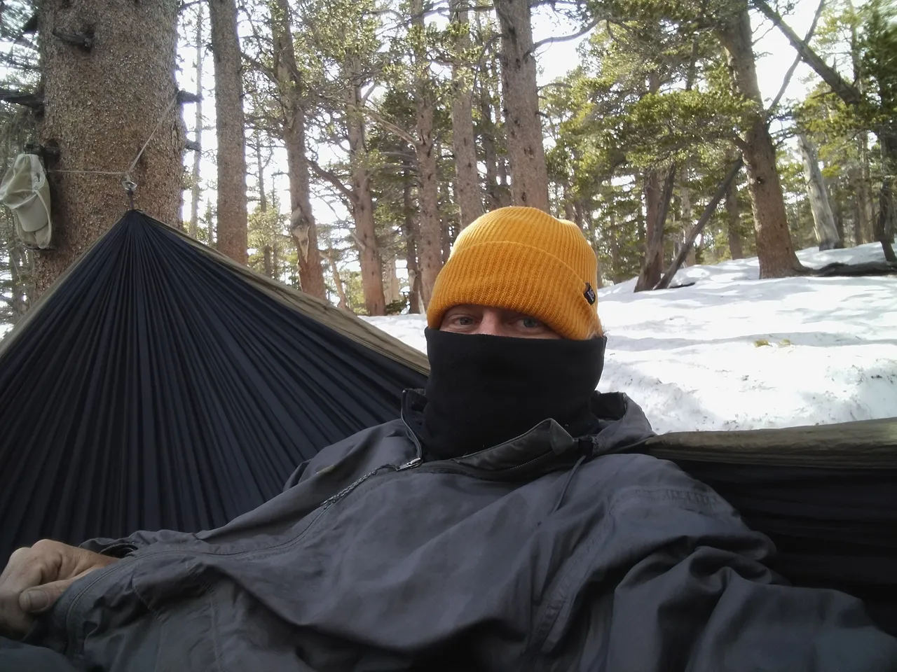
Bundled up selfie in the hammock
Views from the trail just before the rain started
Hiking down in the rain
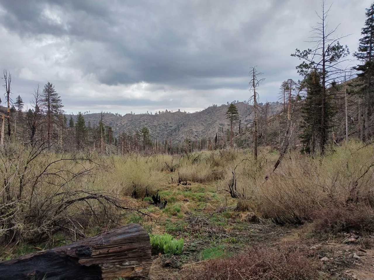
Back at upper Fish Creek meadows
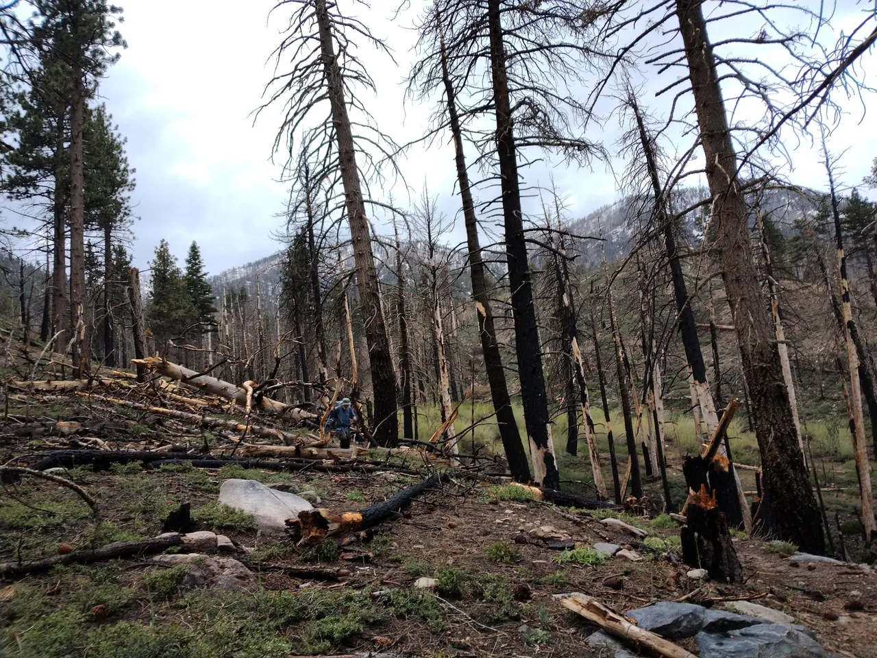
Making our way back through log obstacles
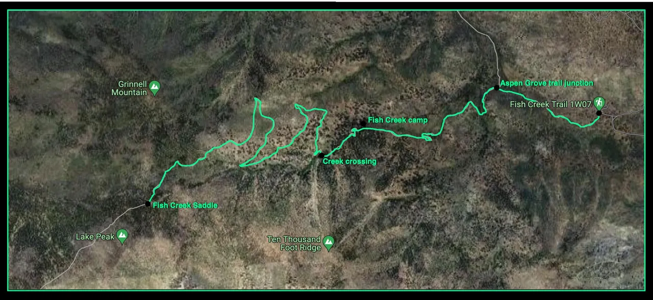
Trail map
And so until next time...
I hope you have enjoyed this glimpse into
My California!!

#SoCalHive is building and supporting the Hive Blockchain community in Southern California. If you are from SoCal and are into creating quality content here on Hive, we'd love for you to follow us @theSoCalHive and join our group on Discord


Pinmapple