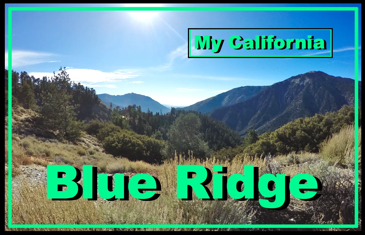
For this weeks Show Us Your California contest by @thesocalhive I head up into the San Gabriel high country for a fun hike up on...
Blue Ridge!!

Blue Ridge is one of my favorite places to go for a quick hike. The drive up through Wrightwood is not very long from where I live and the huge views never cease to impress. Blue Ridge is a central divider of the San Gabriel high country. Running high above the headwaters of San Gabriel canyon from Wright mountain to Vincent gap. Surrounded by deep canyons and tall peaks with the Mt. Baldy/Cucamonga area to the east and the Mt. Baden-Powell/Crystal Lake area to the west. And the vast expanse of the High Desert stretched out to the north.
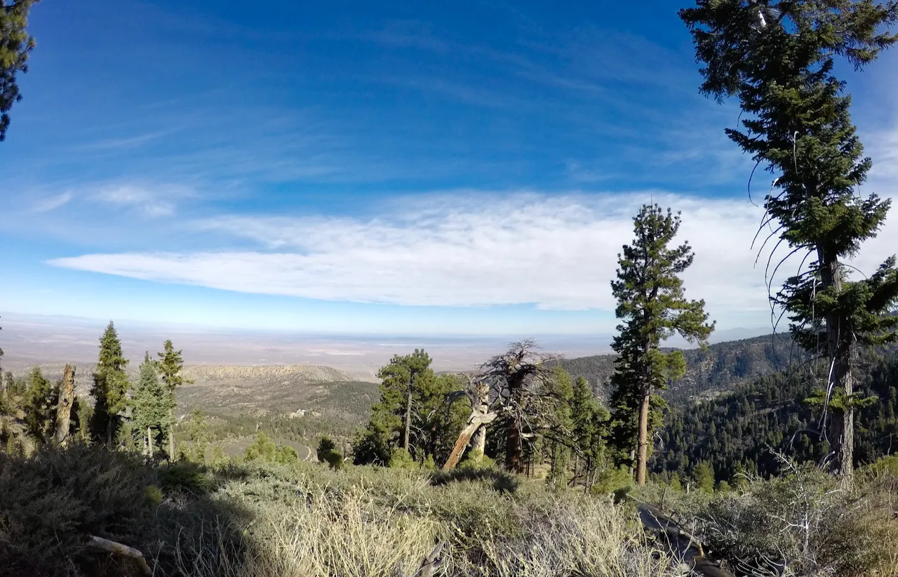
Views from Blue Ridge
The Pacific Crest Trail (aka PCT) runs the whole length of Blue Ridge from east to west providing lots of great hiking opportunities. On this hike I started at the Grassy Hollow Visitor Center and hiked out the PCT to the Jackson Flat observation tower. I had seen the tower before on some of my previous hikes on Blue Ridge, but I'd never checked it out. I got there and it was all fenced off... but I walked around it and found a gate that was unlocked! So I headed up... I'm not sure I was technically allowed to, but if you know me you know I don't usually care about those type of "rules". The lookout was a large concrete tank with a path that wound around it spiraling up to the top. The top had some nice benches in the center for relaxing and an epic 360 degree view overlooking the whole area!
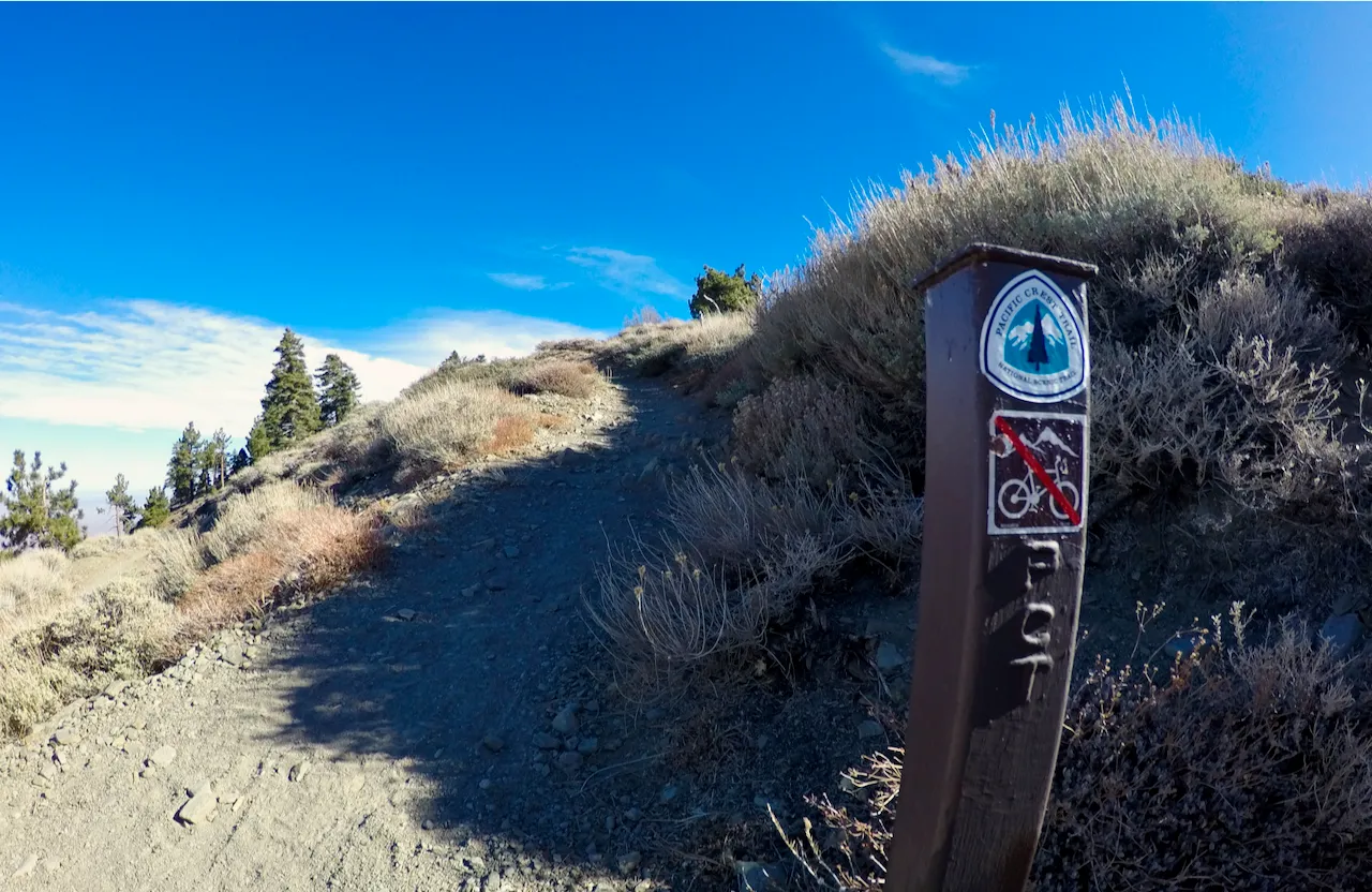
PCT trail marker
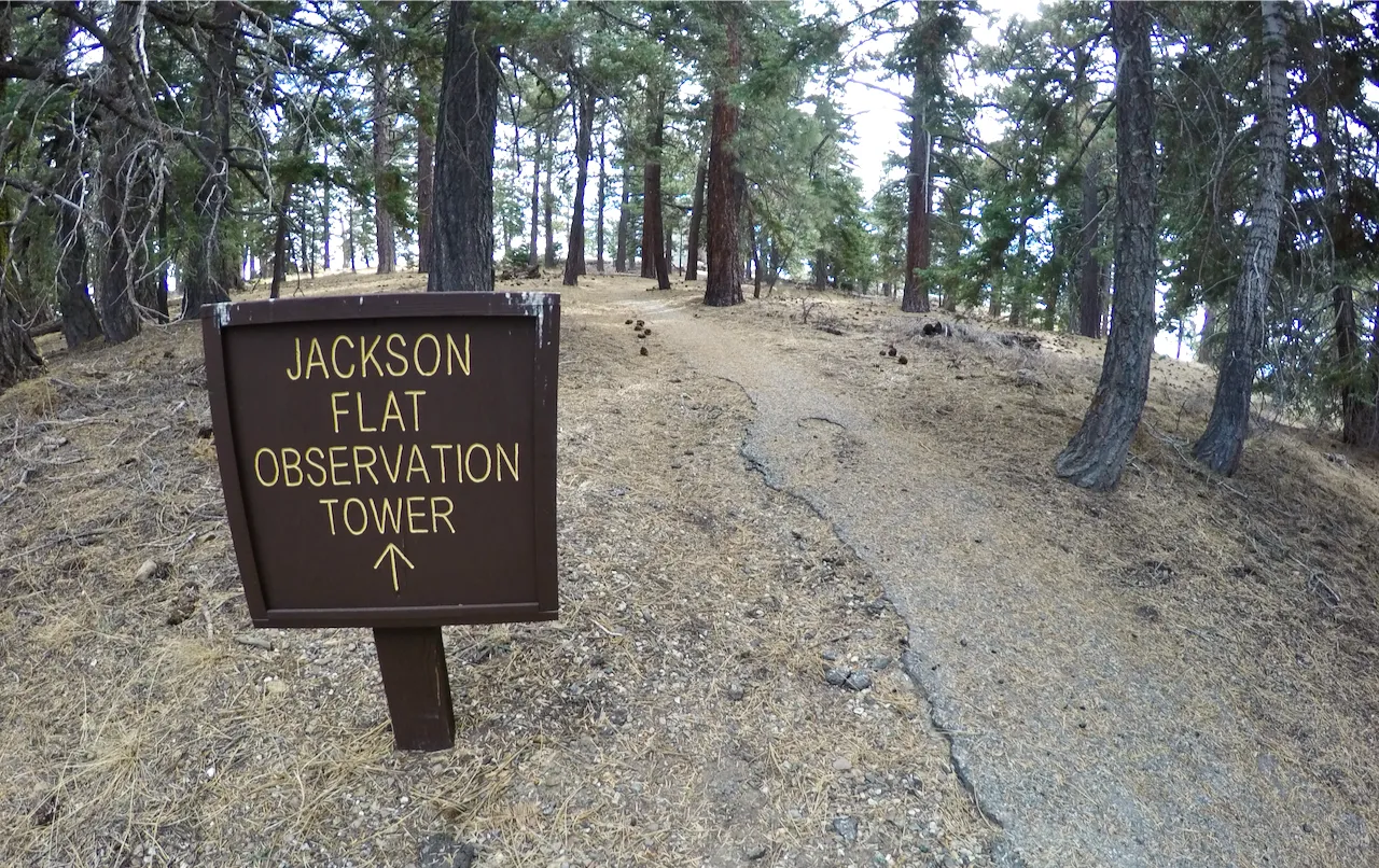
Sign for the Observation Tower
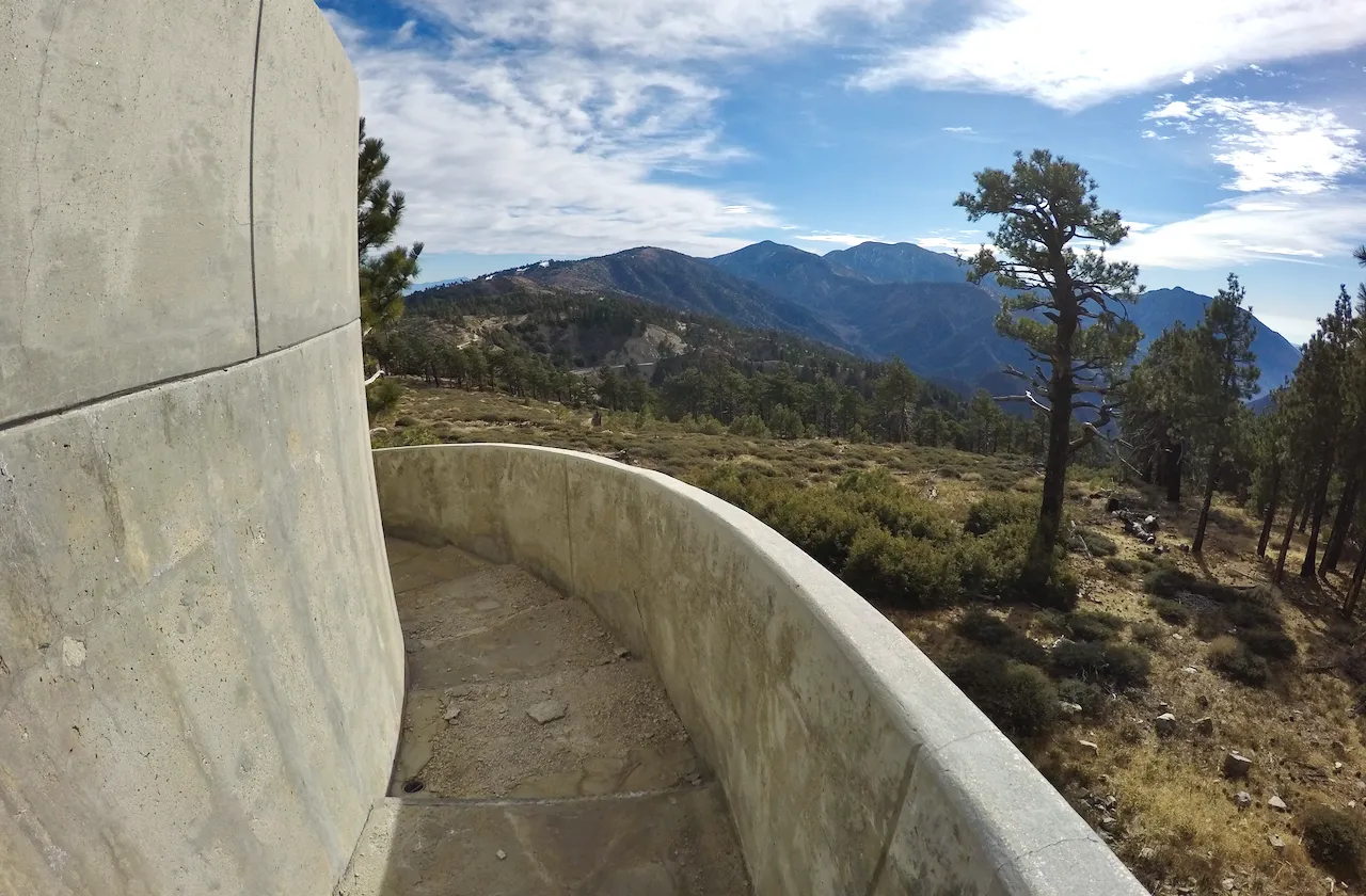
Climbing the spiral ramp up the tower
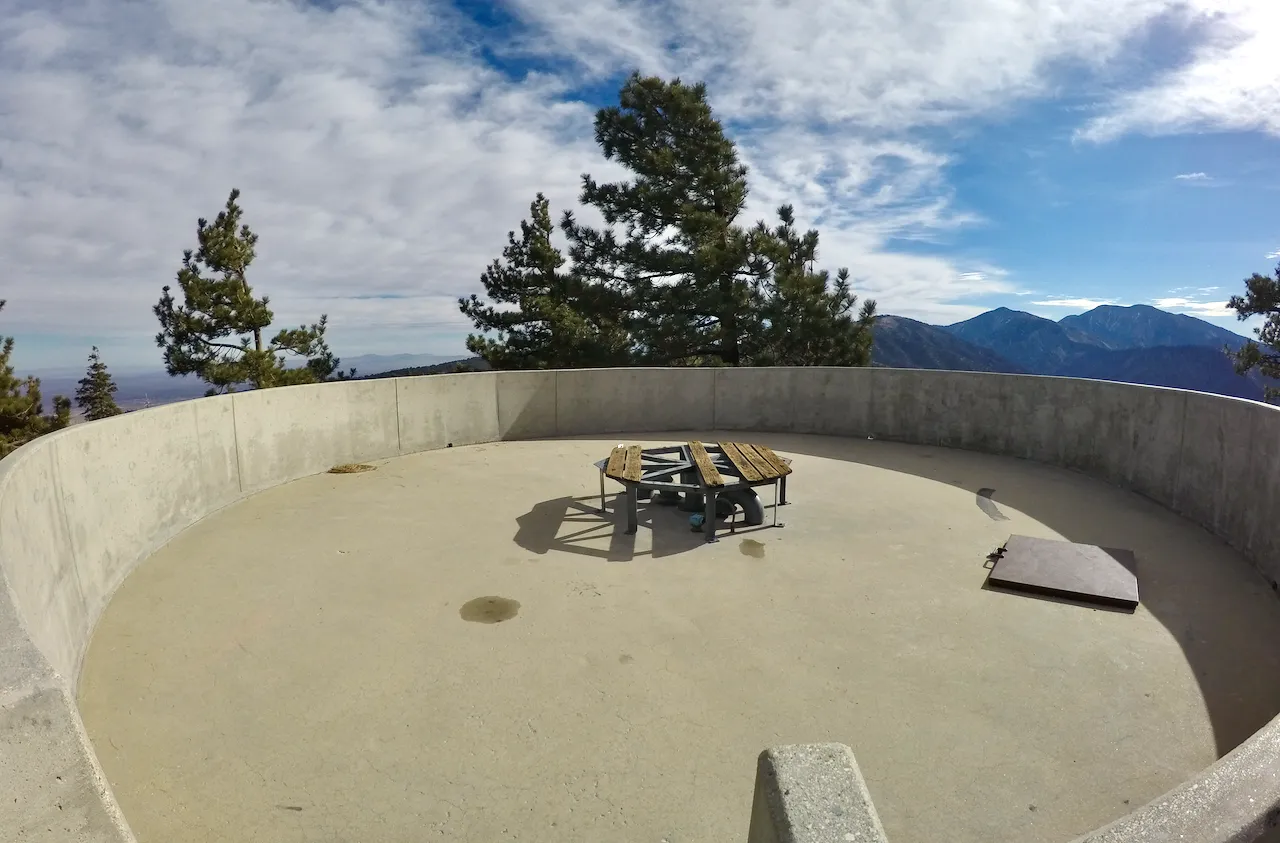
The top of the tower
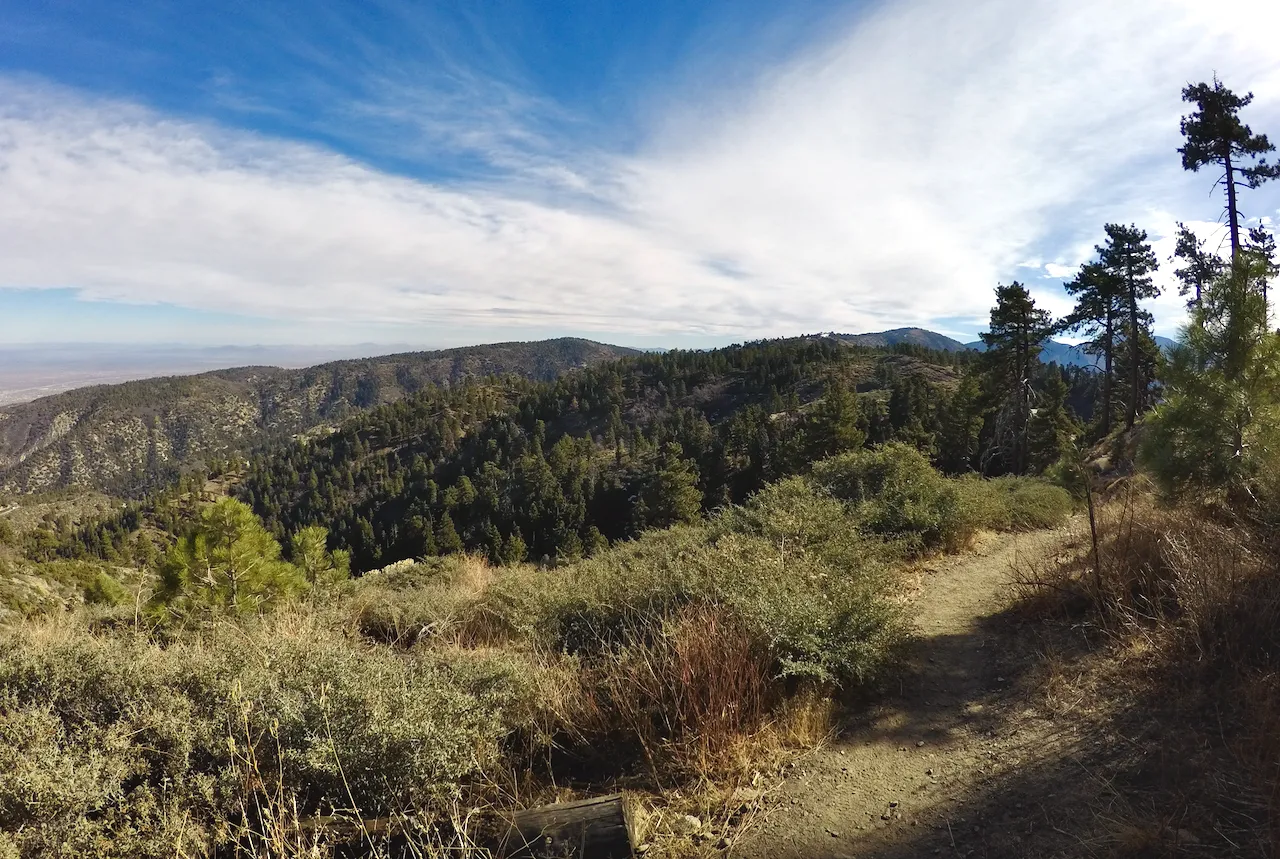
After enjoying the views for a bit I climbed down and headed back. But on my way back I decided to make a detour and explore down a side trail that I'd never been down before. It split off the PCT just west of Grassy Hollow and started heading down the north side towards Jackson Lake. Eventually it got to a spot where the trail forked and while the main trail continued down there was a faint side trail that headed up onto a small peak. I headed up, and when I got to the top I found a spot with more beautiful views looking north and a neat wooden bench with the name Kasten's Point carved into it. I'd never heard of it before, but I was glad to find it and enjoy it for a bit before heading back up to the PCT and back to the trailhead at Grassy Hollow.
Hiking eastbound on the PCT
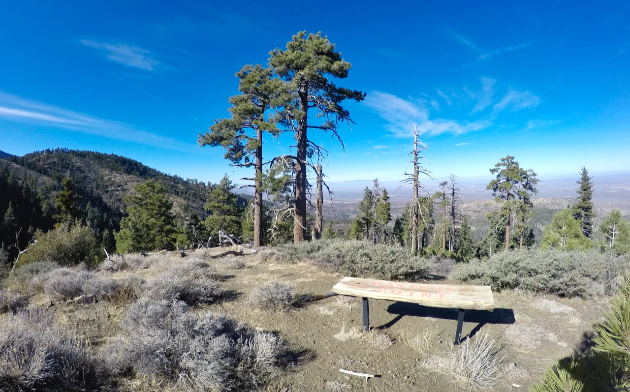
The bench at Kasten's Point
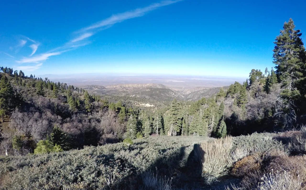
Views looking north from the PCT
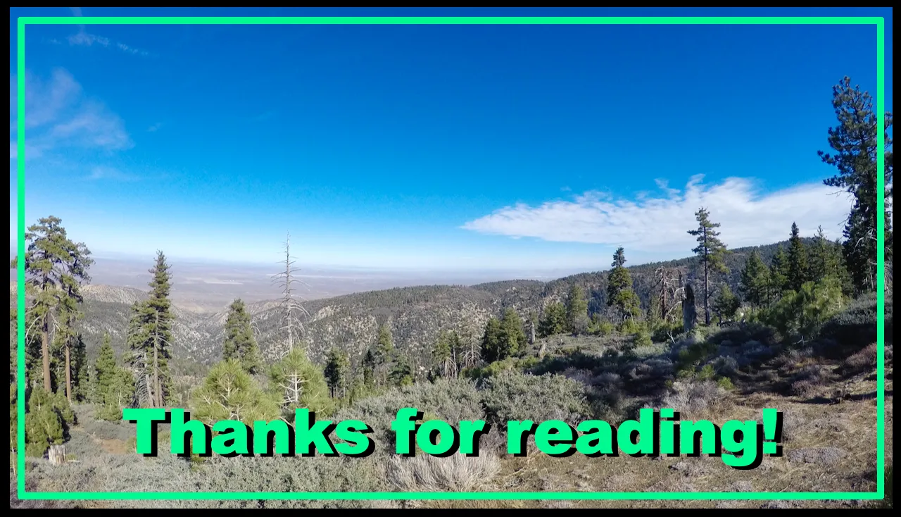
Until next time...
I hope you have enjoyed this glimpse into
My California!!

#SoCalHive is building and supporting the Hive Blockchain community in Southern California. If you are from SoCal and are into creating quality content here on Hive, we'd love for you to follow us @theSoCalHive and join our group on Discord

JOIN US ON DISCORD
SUBSCRIBE TO THE LIFESTYLE LOUNGE COMMUNITY HERE
JOIN US ON TWITTER


Pinmapple