A couple of years ago, I drove about forty kilometers northeast of my hometown and spent an entire afternoon in the bay in which the river called Rasha meets the sea. I visited that area quite a few times before, but it was long ago, in the times before the digital photography era, so I never took any photographs of that place.

In this post, I'll show you the river and the bay through a series of shots taken on the 6th of August 2020.
 (Enlargeable)
This shot, for example, was taken at the beginning of the journey, a couple of kilometers from the river.
 (Enlargeable)
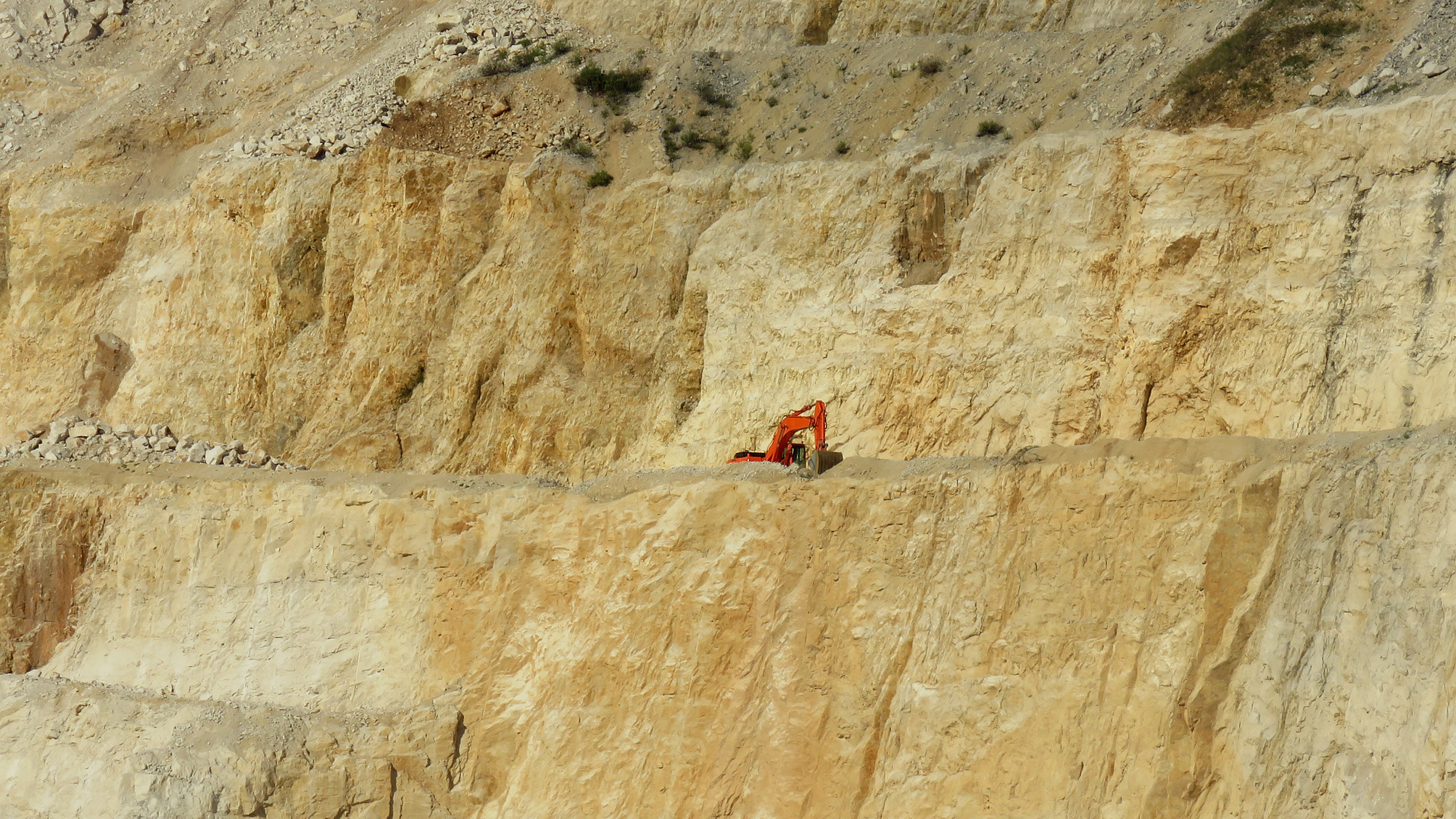
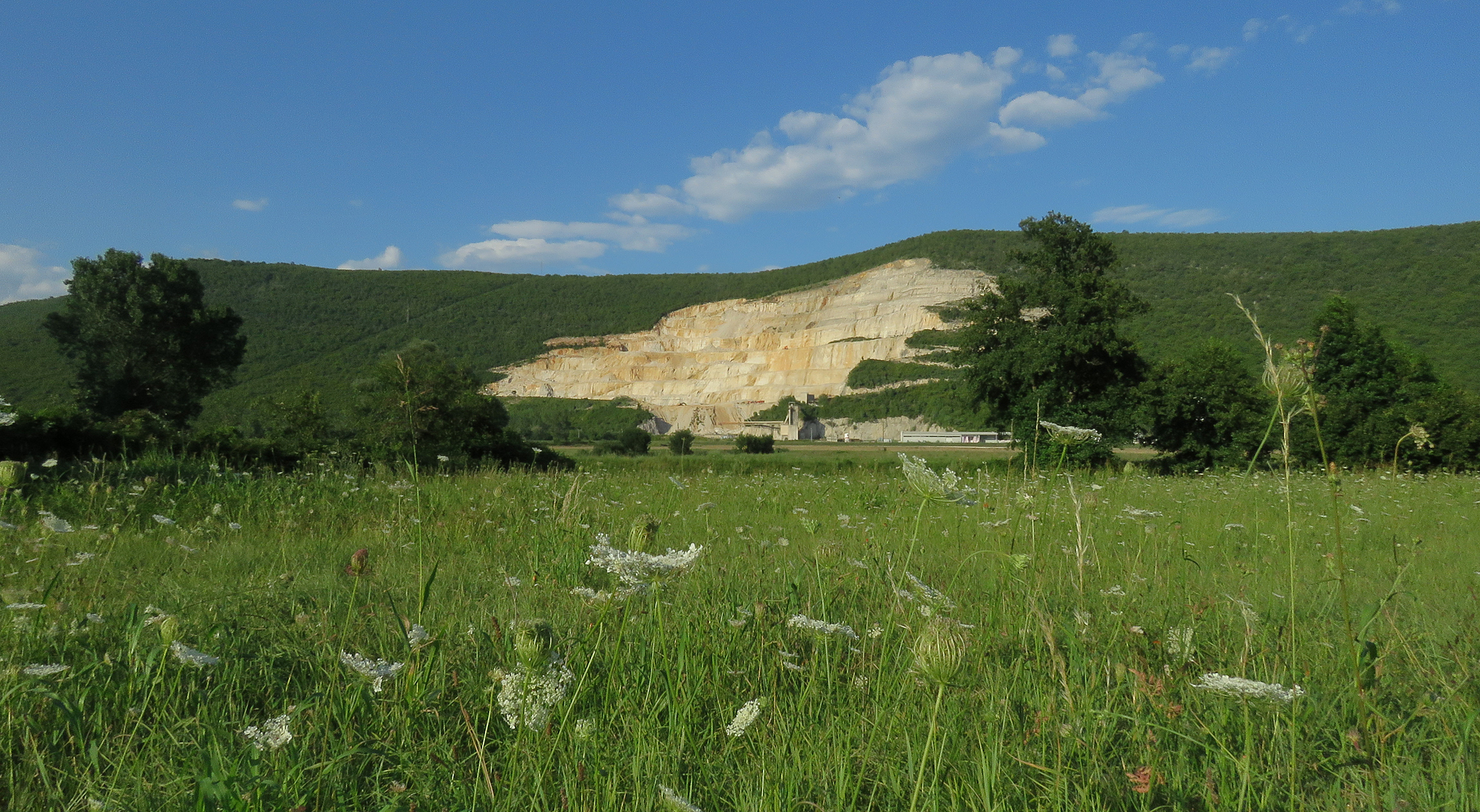
I stopped by the side of the road to photograph this stone quarry that looks like a large wound on the green tissue of the hill.

Here I zoomed in on the sleepy excavator that wasn't busy excavating on that lazy summer afternoon. The red machine looked very good in the rocky environment.

Here you can take a good look at the meadow in the valley. In the following photograph ...

... the focus is on the Clematis flammula flowers before my feet.

This photograph was taken when I reached the river.

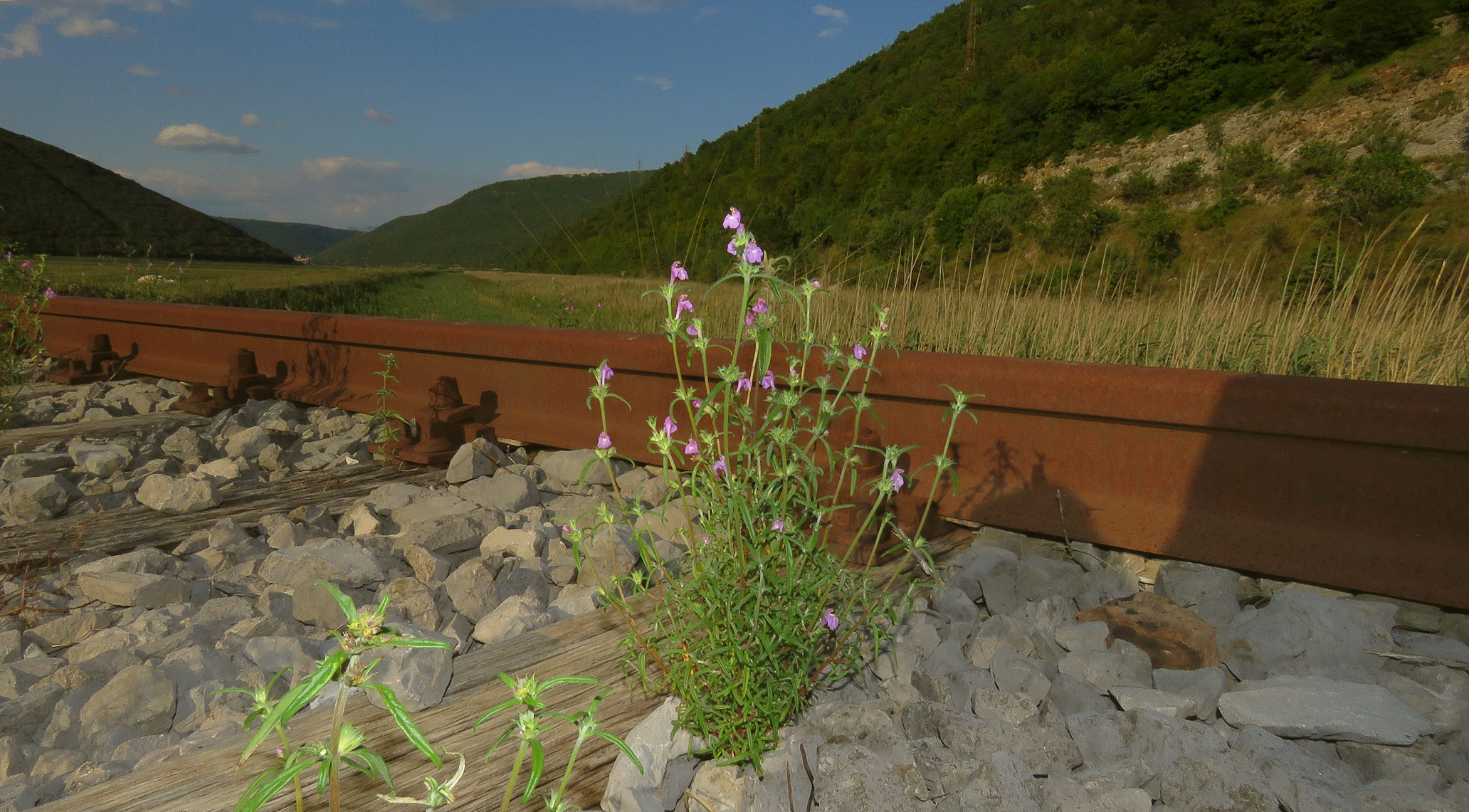
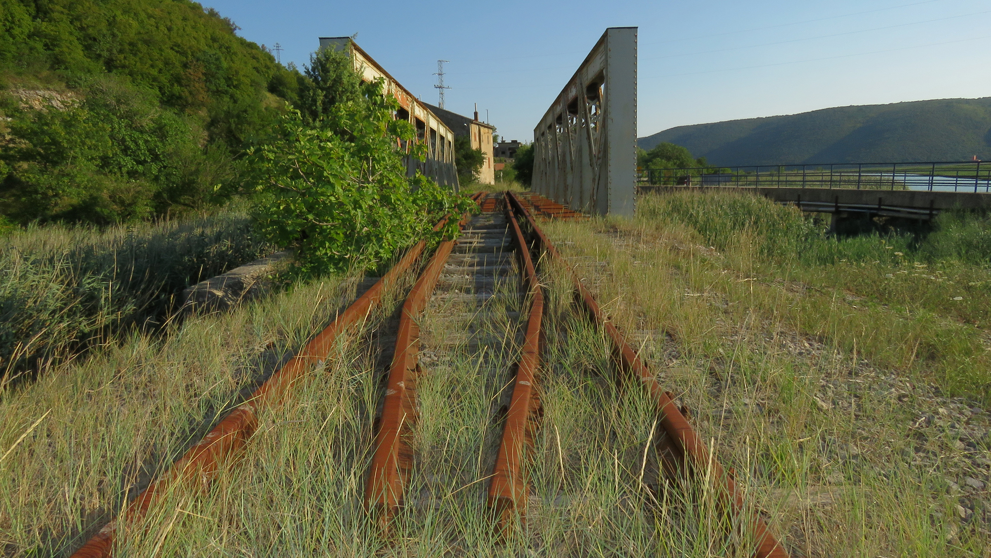
I left the car by the side of the road and took a walk along the abandoned railway overgrown with weeds.

Here you can see the fruits of the Frangula rupestris, one of the plants that reclaimed the abandoned rails.

This lovely flower ...
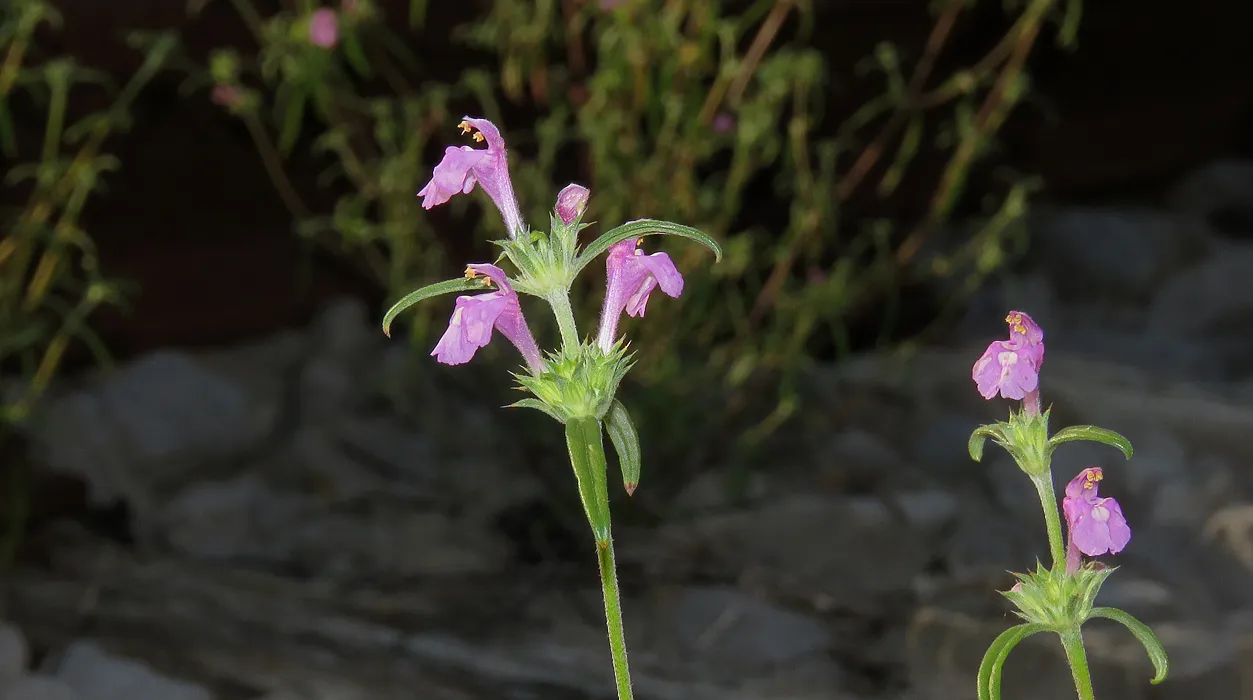
... belongs to the Galeopsis angustifolia ...
 (Enlargeable)
... another railroad plant.

Here I zoomed in to take a better look at the pretty big, isolated house in the valley.
 (Enlargeable)
In this photograph, I'm walking towards the bridge that I'll reach in the following one.
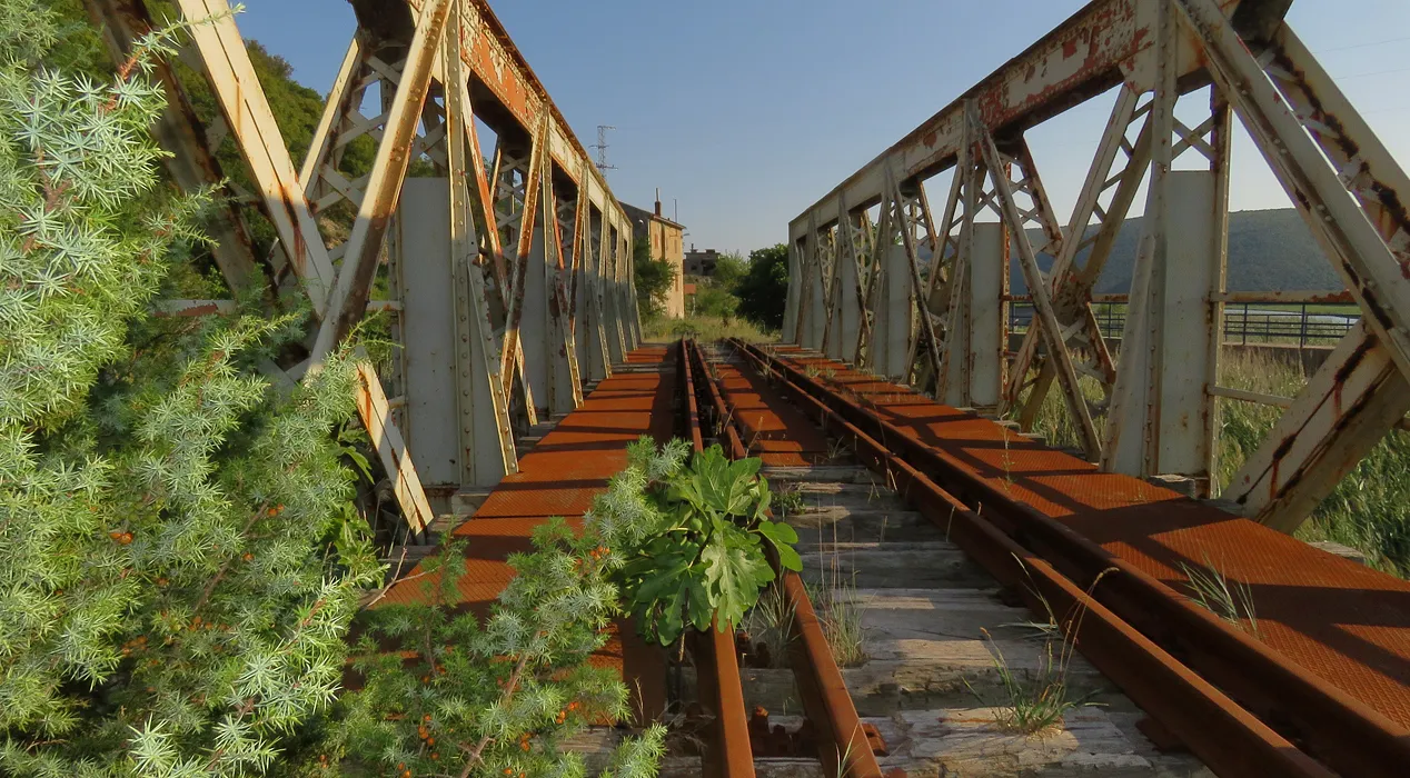
I'm stepping on the fairly small railroad bridge here.

Here you can take a look at the same bridge from another angle. The now-abandoned railway was built in the period from 1948 to 1951 by the local population through collective work organized in a socialist way. It leads from the mountain Uchka to the small industrial port called Brshitza, about a kilometer from this bridge.
 (Enlargeable)
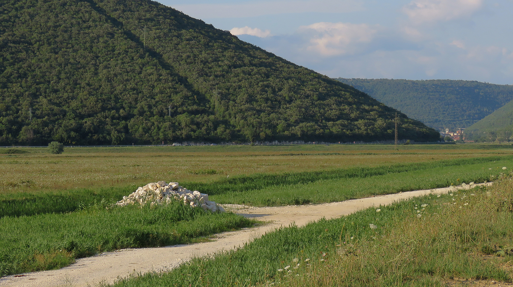
If you enlarge this photograph by clicking on it, you may notice a distant town deep in the background. It's a small mining town called Rasha, just like the river.

The coal mines are closed nowadays, and the adjacent buildings are abandoned, but there was plenty of industrial activity here in the period from 1936 when a brand new town was built in only 547 days to 1999 when the last coal mine in the area was closed for good.

Here you can take another peek at the town in the narrow valley. You can see a bunch of buildings that were protruding above the dense vegetation of the hill on which I was standing when I took this photograph. I have quite a few more things to say about this town, and a long series of photographs to show, but I left that stuff for tomorrow when a pretty long post about Rasha the town will be published. In the following photograph ...

... I'm continuing with Rasha the river. This shot was taken from the bridge.

There were two bridges near each other. I mean, they are still there. The old abandoned railroad one, and the slightly newer bridge made for cars. I was walking through the reeds between the bridges when this photograph was taken.

This industrial building looks like a modern church. I don't know what was, or still is, used for, but judging by the amount of beauty included in its design, I'll say that is fairly old. However, that's just speculation because I haven't found any information on my long Internet search that could back up my thoughts about this piece of architecture, isolated near the river. Another speculation is that this was, or still is, a pumping station that helps regulate the water level in the canals of the valley. I'm pretty sure about this one because I saw a few such pumping stations elsewhere.
 (Enlargeable)
In this screenshot taken an hour ago, you can see a result of searching the Internet through images. A bunch of more or less modern churches. All interesting stuff but useless for the post. In the following photograph ...

... you can see a residential building a couple of hundred meters further down the road that leads to the sea.

It's an old house.

I don't know when exactly was built. Probably in the mid-thirties, during the sudden development in the valley connected with coal mining and the preparation of Italy of Mussolini's era for the war. This was part of Italy back then.

Here you can take a peek at the scenery behind the green hills that surround the valley of the river Rasha.

This is the pumping station called Saint Fosca. Not only it looks like a church, but its name sounds like the name of a church as well. It was built in the thirties.

Here you can take another look at the bridge introduced earlier in the post. In the foreground of the shot, you can see the branches of a large fig tree.

About a kilometer further, I stopped again to photograph what remains of the thermal power plant called Vlashka built in 1939. In the following photograph ...
 (Enlargeable)
... I reached the end of the river ...
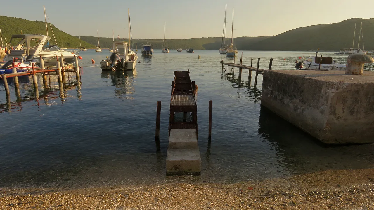
... the harbor of the small village called Trget ...

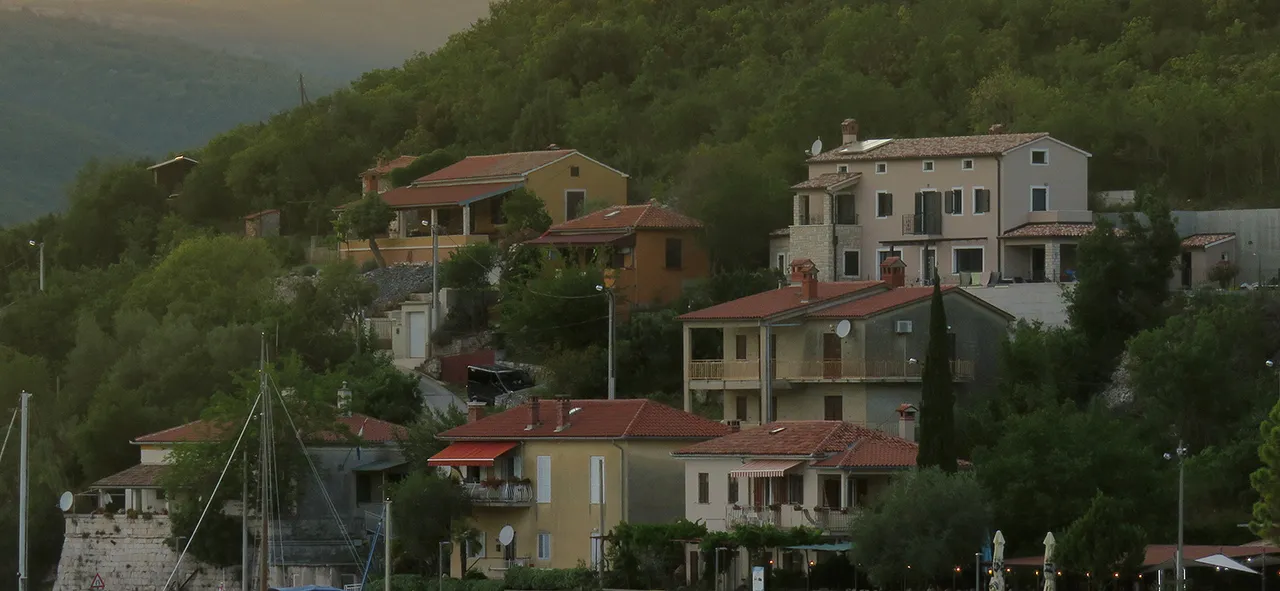
... in Rasha bay. Here you can take a look at the settlement near the sea.

In this shot, you can see a nice variety of plants that grow on the tall and thick stone embankment made to stabilize the terrain of the steep slope. The dried-out one hanging upside down is an artichoke.

In the foreground of this photograph, you can see two piles of stones uncovered by the low tide, all that remains of an old makeshift pier, while in the background ...

... people are enjoying the summer afternoon.
 (Enlargeable)
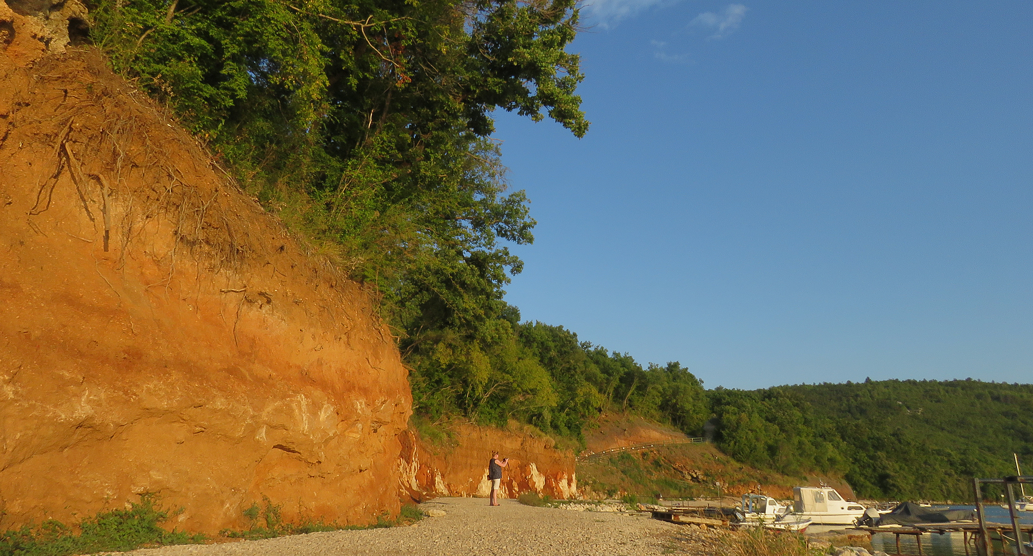
Here you can see the red soil of the coast after the stone embankment.

Here you can see another old makeshift pier that isn't functional anymore. There are more than just a few piles of stones visible this time, but you can't use this rusted thing without a great chance to fall and get hurt.

Near another, more solid pier made of rusty metal parts and old planks, I photographed this small boat ...

... with a funny name. KITANIK is a proud name that sounds like TITANIC but the first half of the word is changed into KIT which means whale or KITA which means flower bouquet but can also be a slang word for penis. Since the boat doesn't look like the famous Titanic, isn't used for whaling, and I don't see anything that could connect it with the flowers, I'm pretty sure that the name was made to be funny, as a dirty little joke.

Here you can see more piers. Each one is unique.

Red soil looks great in the warm light of the late afternoon ...

... so I took a few more shots along the way. The combination of lush green vegetation and the red ground underneath it also has a nice visual appeal.
 (Enlargeable)
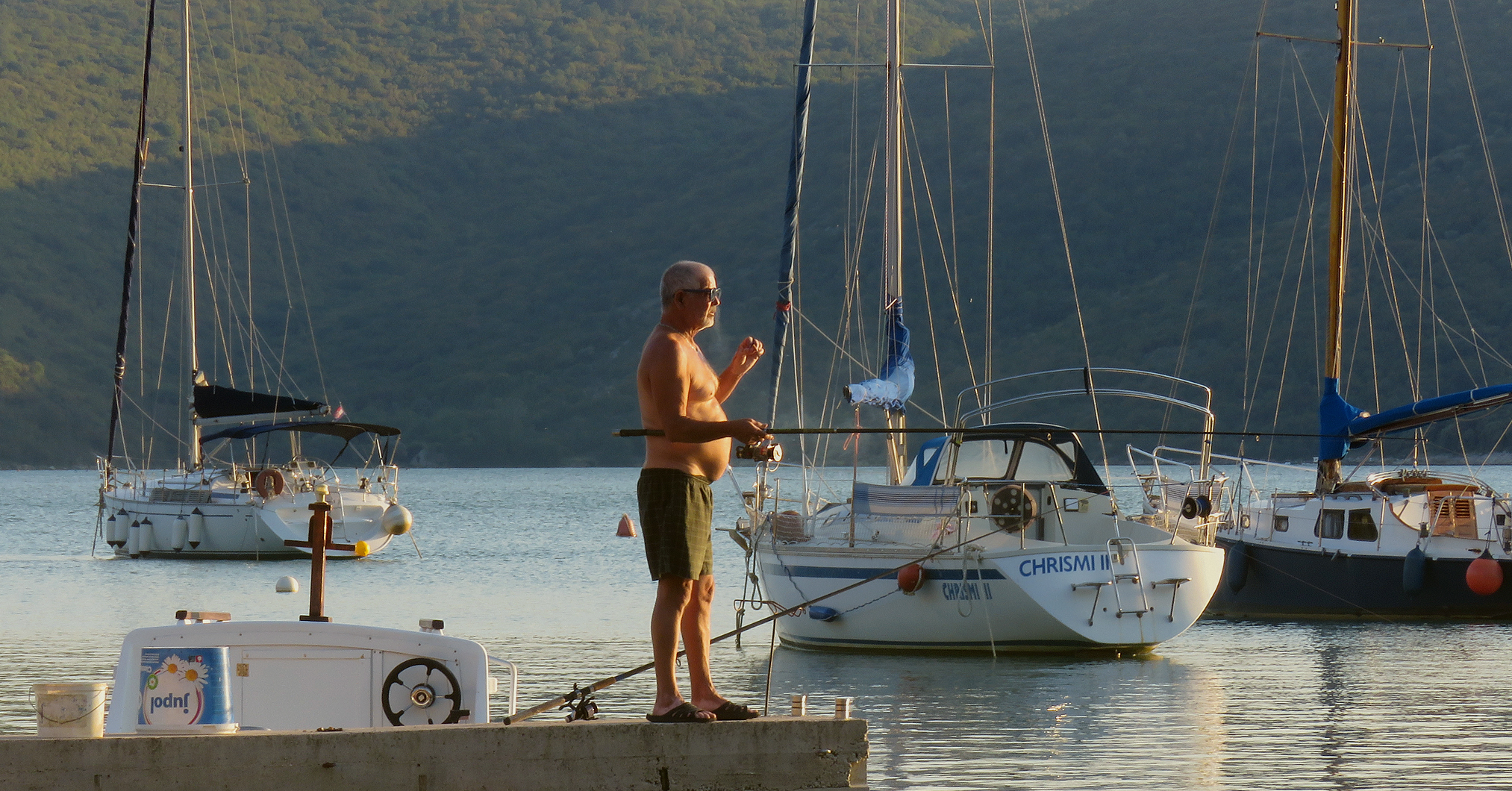
The murky water of the bay gets regularly supplied with nutrients brought by the river. It supports a rich ecosystem, so there is always a good chance of catching something fairly big from the piers. A big sea bass or a nice, fat grey mullet in most cases.

Here you can see a recreational kayak stranded on the pebbles under the shrubs and trees.

A bit further along the shore, the soil prone to erosion was covered with a fence that looks like a fishing net.

I don't know if this lifebuoy plays also some vital role here, but it sure looks like a nice summer decoration on the slope.

Here you can see the Ammophila arenaria grass that grew on the gravel of the path that leads along the shore.

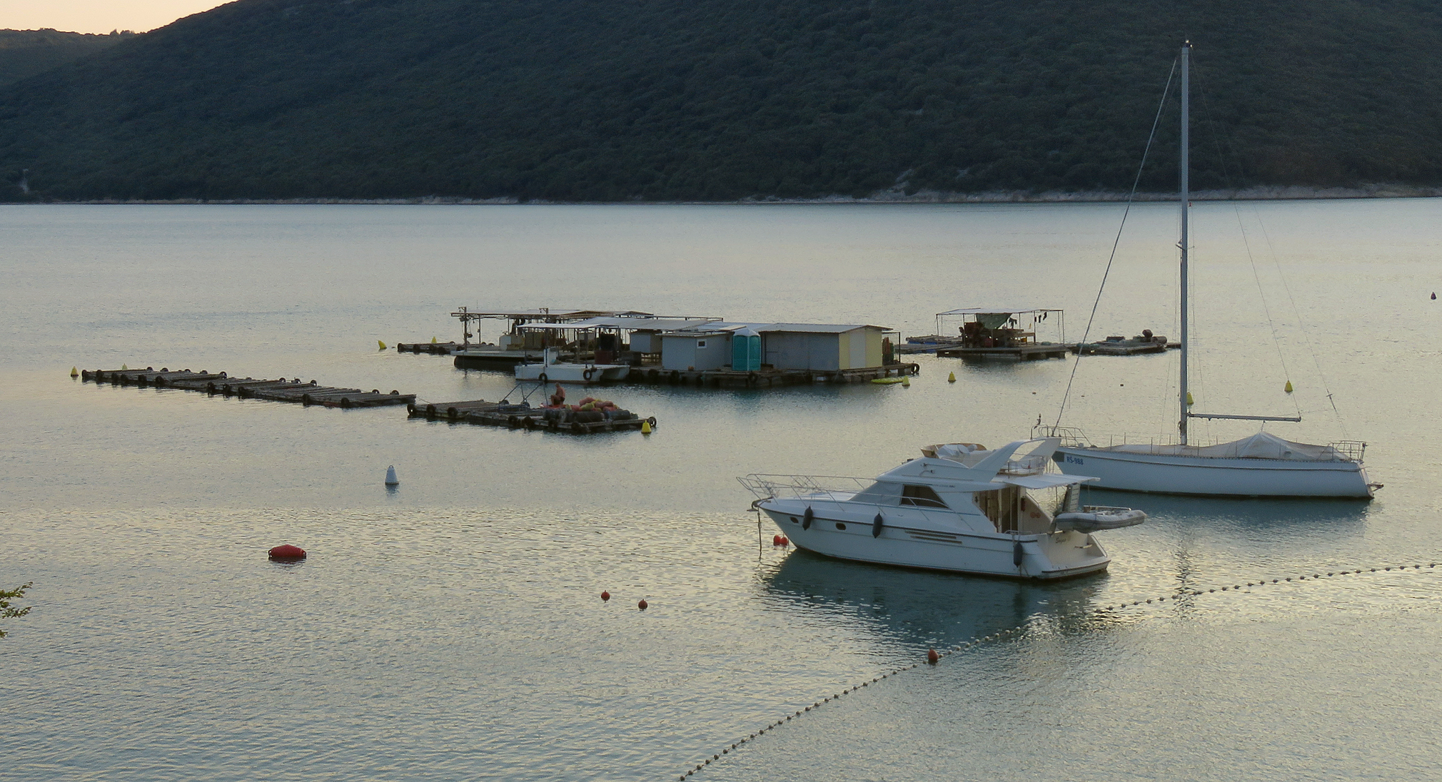
In this photograph, I zoomed in on the village behind the masts of the sailing boats moored and anchored in the harbor.

Here you can see another coastal plant. The Crithmum maritimum.
 (Enlargeable)
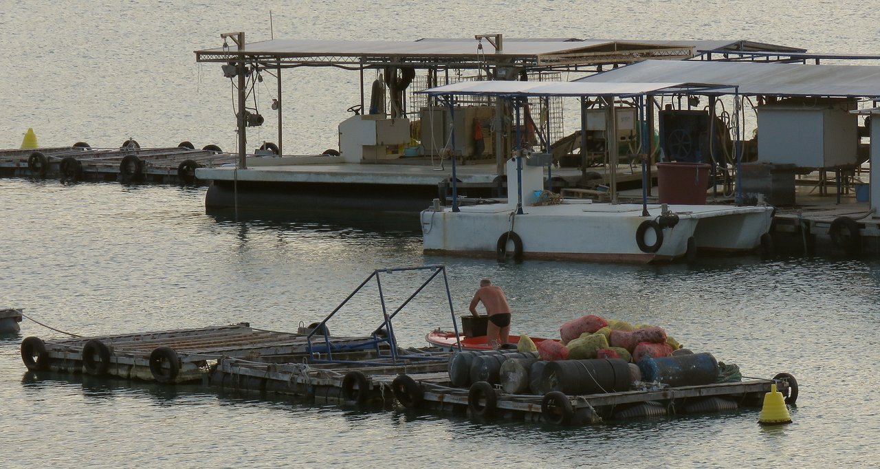
Here you can see some interesting floating platforms ...
 (Enlargeable)
... anchored near the harbor, more or less in the middle of the bay.

This place is a mussel farm.

In this photograph, I'm climbing the path to reach a nice viewpoint on the coastal slope.

From there I could photograph the beach on which I was swimming and snorkeling an hour earlier ...

... and the village of Trget.
The masts weren't standing in the way this time.

Here you can see the rocks in that elevated place from which I was photographing the stuff in the bay.

As you can see, the sun was almost down. It was getting late ...

... so I walked downhill, and then back to the car. It was time to leave Trget.

On the way back, I stopped the car for a minute in the middle of the narrow road to photograph the cargo ship and the cranes in the industrial port of Brshitza, mentioned earlier in the post, near the beginning of this journey, when I was talking about the abandoned railroad.

I stopped another time, a little less than a kilometer from that port ...

... in the area where the river turns in the bay and the bay into a river ...
 (Enlargeable)
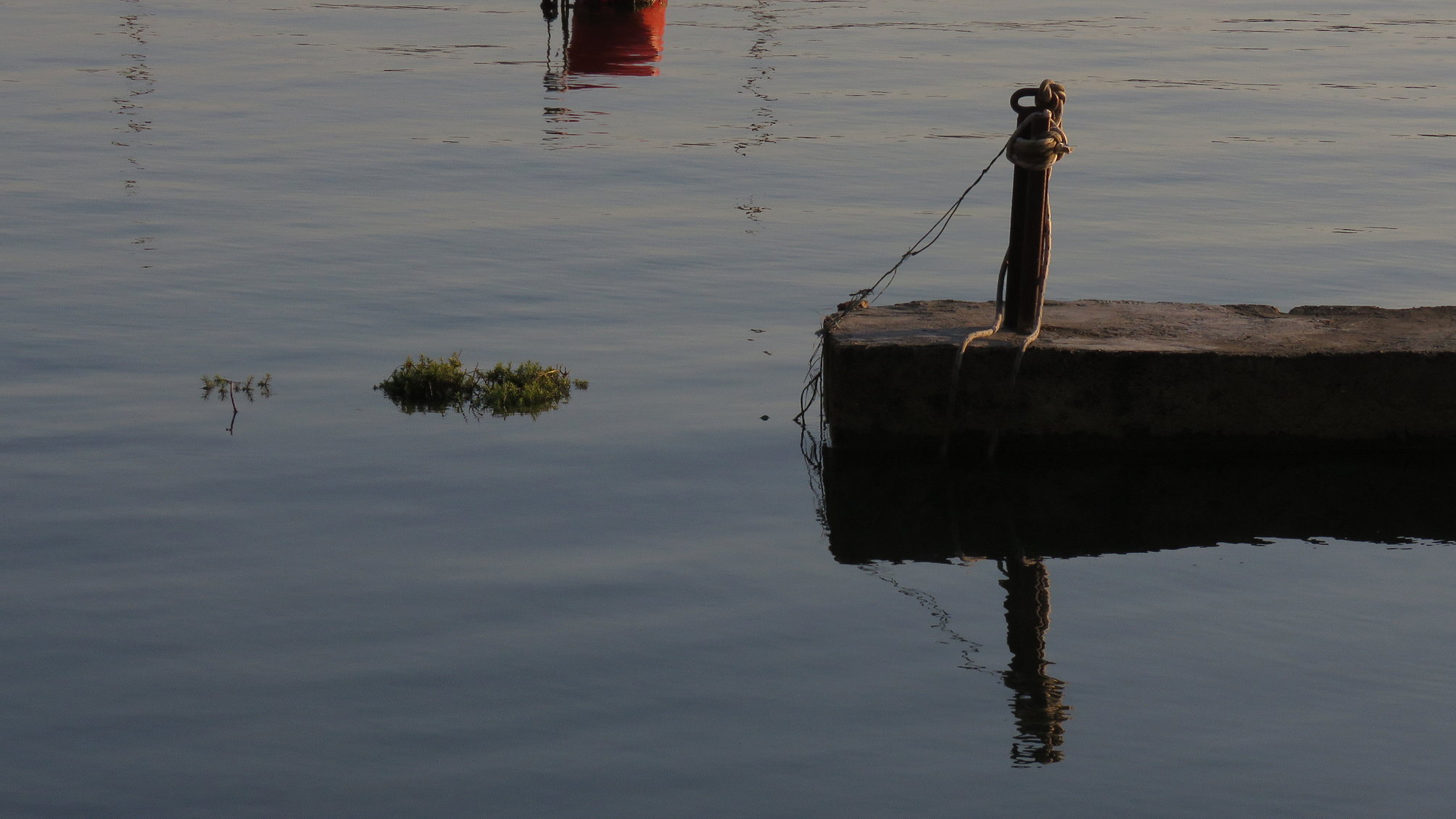
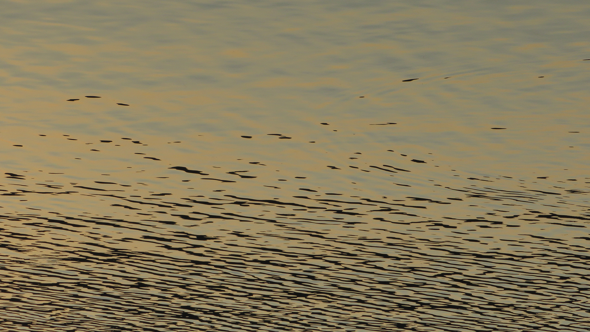
... to photograph the calm water ...

... in the last minutes at the end of the long summer day.

The time was right and so was the place ...

... to end the journey in a meditative way. The following photograph ...
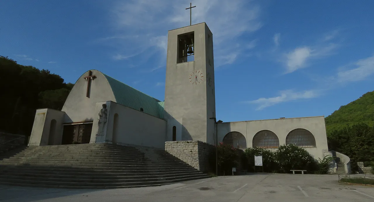
... it's a teaser for the post about the former mining town called Rasha, a post that I'll publish tomorrow.
AND THAT'S IT. HOPE YOU ENJOYED THE TOUR FROM THE RIVER TO THE SEA. AS ALWAYS HERE ON HIVE, THE PHOTOGRAPHS ARE MY WORK.