This content was deleted by the author. You can see it from Blockchain History logs.
Clouds Finally Breaking Up Weekend Looking Iffy But Better

Clouds Finally Breaking Up Weekend Looking Iffy But Better
(Unsupported //rcm-na.amazon-adsystem.com/e/cm?o=1&p=12&l=ez&f=ifr&linkID=431c1e7be66bc52a4e7193969dcff192&t=meteorologisj-20&tracking_id=meteorologisj-20)
Clouds Finally Breaking Up Weekend Looking Iffy But Better
This weekend's forecast is a tough one with models anywhere and everywhere. Some say showers Saturday (not a wash out) and dry Sunday. Some say dry Saturday with either showers Sunday or lots of clouds...some say dry for both days. I think the best way to approach this is to leave the chance for some showers early Saturday and then again late in the day Saturday into Saturday night with dry conditions for Sunday. The problem is the frontal boundary and the big high to the north in Eastern Canada. Weather models differ in how much of that high builds southward. The stronger that high is, the greater the chance that everything rain wise shifts south.
GFS FORECAST SUNDAY 2PM 6/10/2018
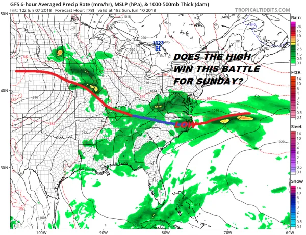
Areas to the south may be at a bit more risk of being in clouds and rain and that would be South Jersey & Southeastern Pennsylvania southward though here too dry air could ultimately win out.
Meanwhile we are finally seeing clouds break apart this afternoon though the process has been rather slow to play out. Temperatures are responding by bouncing into the 70s however. The trending of decreasing clouds should continue into the overnight with lows by Friday morning in the 50s to near 60. Friday will be warm with some sunshine as highs manage their way back into the 80s except right near the ocean.
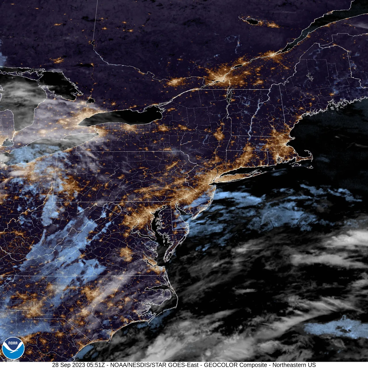
EASTERN SATELLITE
REGIONAL RADAR
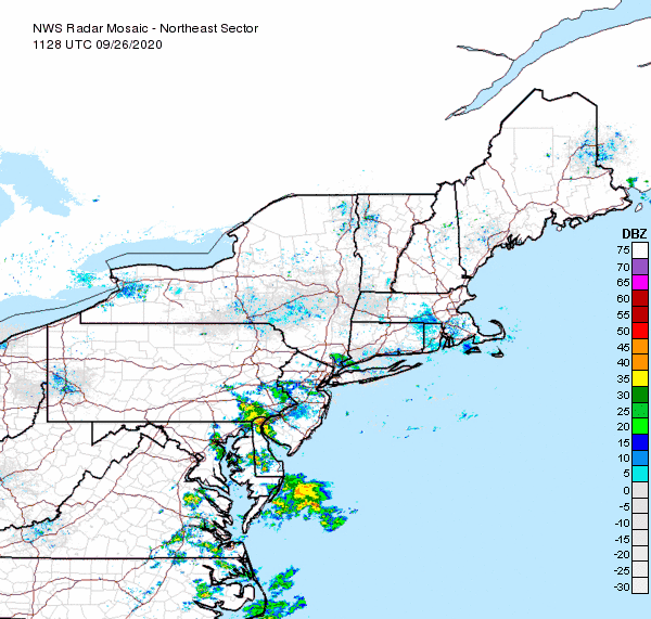
Radars are quiet and will remain so into Friday night. Some showers will come through early Saturday morning and again late in the day when a couple of thunderstorms could fire up. Temperatures should reach into the 80s. Sunday if that high builds down as advertised highs will be in the low to mid 70s except for 60s along coastal areas and Long Island. Next week looks a bit better with sunshine for Monday and Tuesday with highs in the 70s.
Next week we could see the tropics heat up a bit as conditions could become conducive for development in the Western Caribbean.
JOESTRADAMUS has more on this in his latest tropical post.
(Unsupported https://www.facebook.com/plugins/post.php?href=https%3A%2F%2Fwww.facebook.com%2Fmeteorologistjoecioffi%2Fposts%2F10160293154820387&width=500)

GET JOE A CIGAR IF YOU LIKE
FiOS1 News Weather Forecast For Long Island
FiOS1 News Weather Forecast For New Jersey
FiOS1 News Weather Forecast For Hudson Valley
JOIN JOESTRADAMUS ON YOUTUBE!
LATEST JOESTRADAMUS ON THE LONG RANGE
LONG ISLAND WEATHER
NEW YORK WEATHER
amzn_assoc_placement = "adunit0";
amzn_assoc_search_bar = "true";
amzn_assoc_tracking_id = "meteorologisj-20";
amzn_assoc_search_bar_position = "bottom";
amzn_assoc_ad_mode = "search";
amzn_assoc_ad_type = "smart";
amzn_assoc_marketplace = "amazon";
amzn_assoc_region = "US";
amzn_assoc_title = "Shop Amazon Via JOESTRADAMUS for anything. Just Use The Search Box";
amzn_assoc_default_search_phrase = "fishing gear";
amzn_assoc_default_category = "All";
amzn_assoc_linkid = "400feb49ec86e057a1495ab9f8e2ac47";
Posted from my blog with SteemPress : http://www.meteorologistjoecioffi.com/index.php/2018/06/07/clouds-finally-breaking-up-weekend-looking-iffy-but-better/